The best gravel rides around Aubepierre-Ozouer-Le-Repos
5.0
(1)
15
riders
5
rides
Gravel biking around Aubepierre-Ozouer-Le-Repos offers routes through a rural landscape characterized by agricultural lands, forests, and small hamlets. The commune features a modest elevation range from 79 to 112 meters, providing gentle slopes and rolling hills suitable for gravel cycling. Several streams traverse the area, often accompanied by scenic paths. This environment supports a network of cycling paths, including multi-use trails ideal for gravel bikes.
Best gravel bike trails around Aubepierre-Ozouer-Le-Repos
- The most popular gravel bike trail is Old railway…
Last updated: May 23, 2026
7
riders
28.0km
01:32
180m
180m
Moderate gravel ride. Good fitness required. Mostly paved surfaces. Suitable for all skill levels.
4
riders
43.2km
02:24
220m
220m
Moderate gravel ride. Good fitness required. Mostly paved surfaces. Suitable for all skill levels.

Sign up for free
2
riders
48.4km
02:37
200m
200m
Moderate gravel ride. Good fitness required. Mostly paved surfaces. Suitable for all skill levels.
5.0
(1)
2
riders
40.7km
02:25
190m
190m
Hard gravel ride. Good fitness required. You may need to push your bike for some segments of this route.
1
riders
45.5km
02:41
220m
220m
Moderate gravel ride. Good fitness required. Mostly paved surfaces. Suitable for all skill levels.
Our route recommendations are based on thousands of hikes, rides, and runs completed by other people on komoot.
Start today with a free account
Your next adventure awaits.
Login or Signup
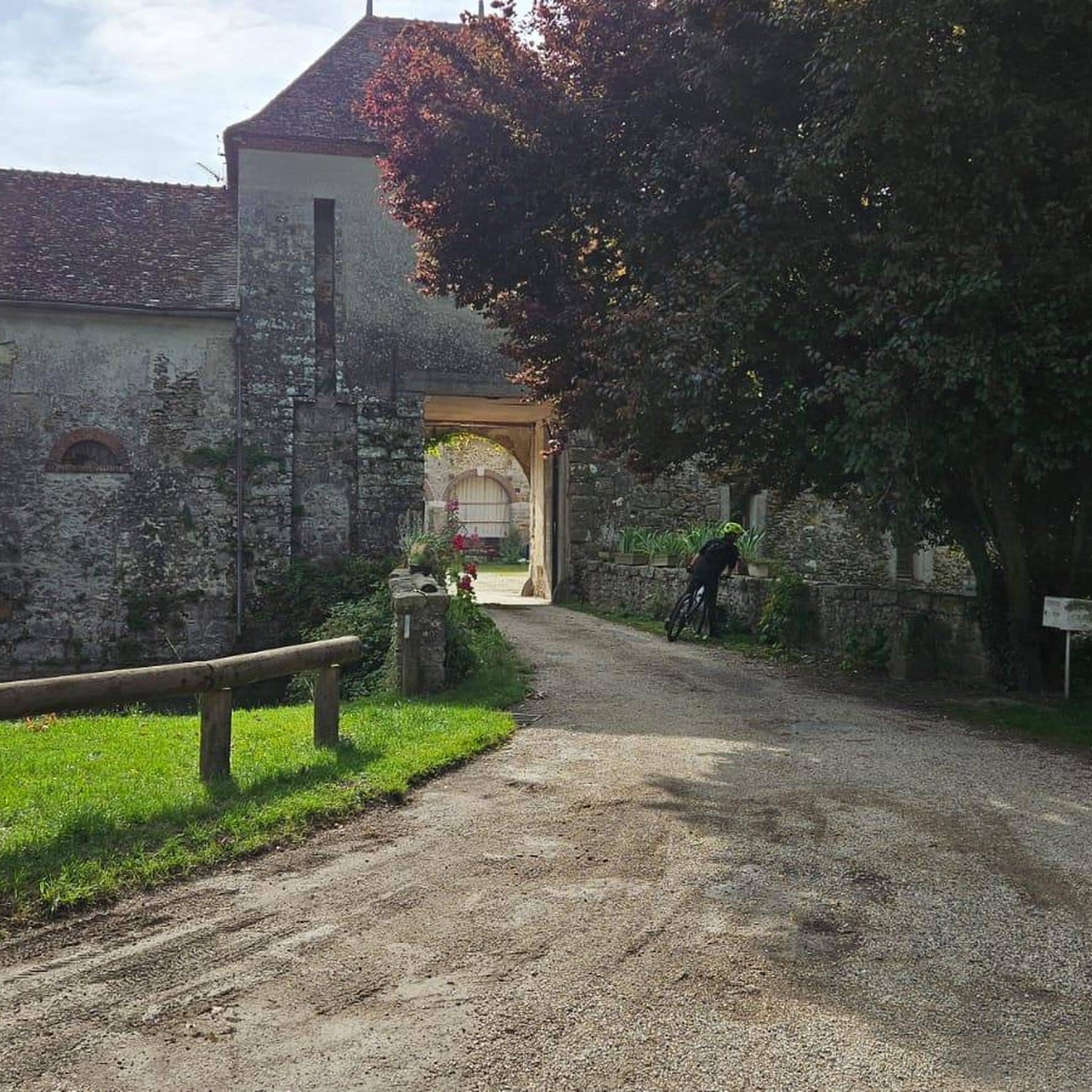

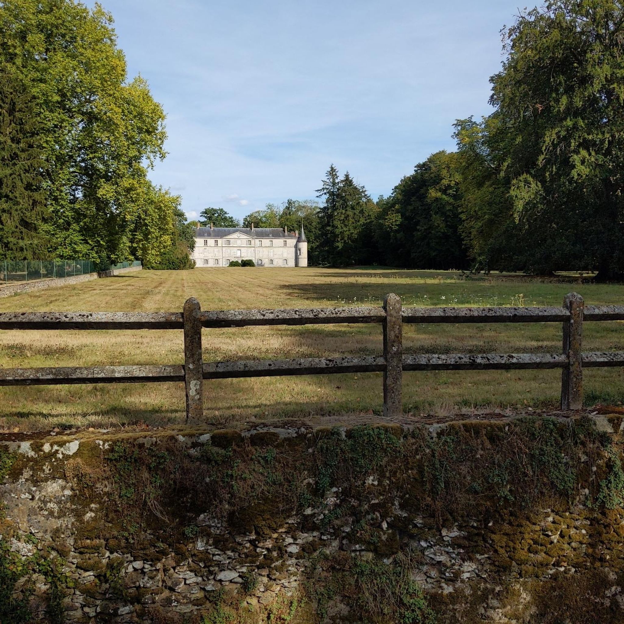
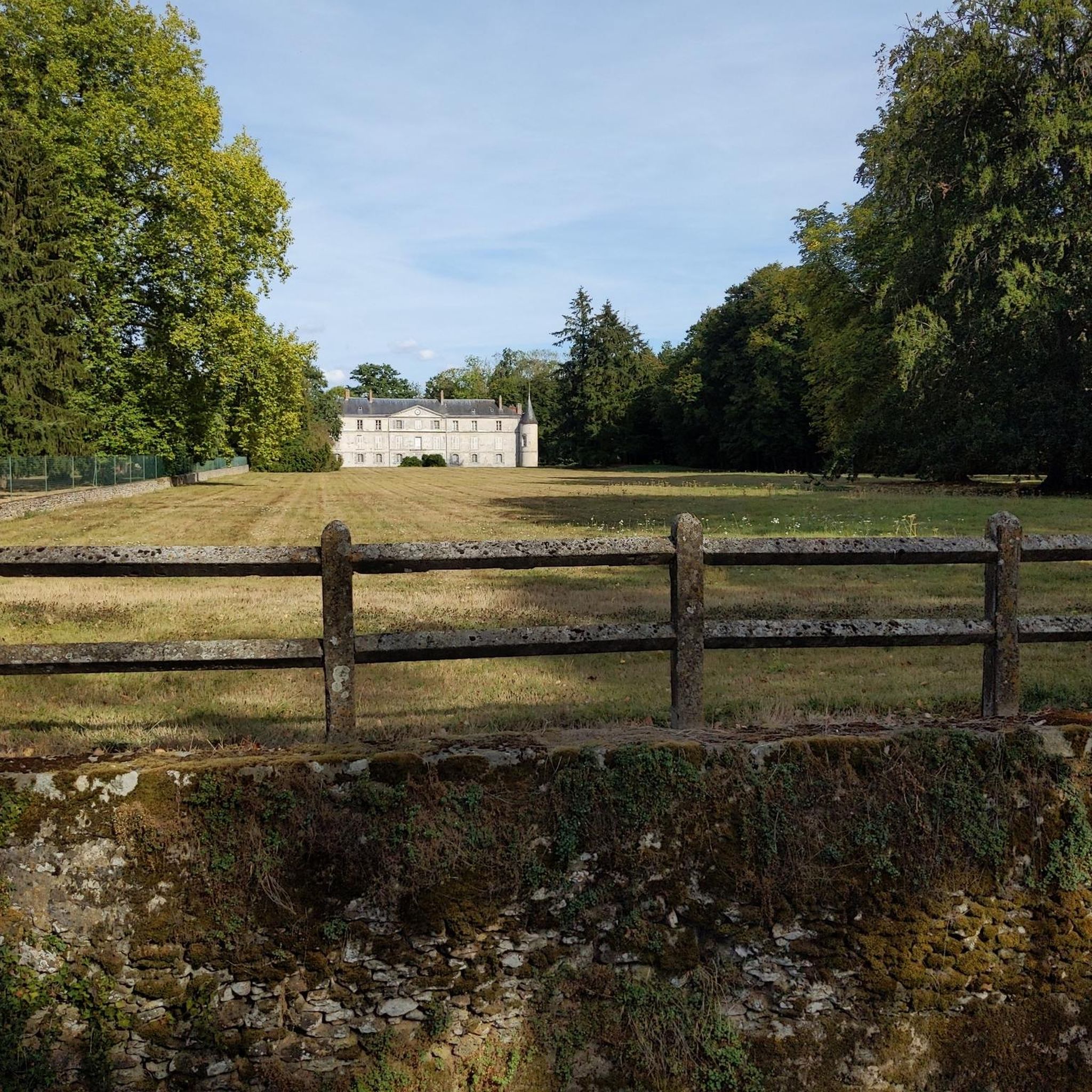

Tips from the Community

nice tour without major difficulties
0
0

a long and quiet road (except on Sundays in summer when there are more people)
0
0

Discover a fascinating monument: the menhir of Sainte-Flodoberthe. According to legend, this menhir is linked to the history of Sainte-Flodoberthe and her sister Sainte-Aubierge, illustrating both the historical heritage and local mythical stories. A fascinating place, combining mystery and beauty, ideal for cyclists in search of discovery and historical adventure.
0
0

In the Yerres Valley, the Chemin des Roses is an opportunity for cyclists to stroll among walkers and horse riders to discover the region. Here, a bridge allows you to admire the river up close.
0
0

Excellent white path trail perfect for gravel
1
0

Menhir of Pierrefitte 3 m high is known under the name of Saint-Aubierge gable or Saint Flodoberthe. These names testify to the Christianization of pagan sacred places during the early Middle Ages. According to the legend Saint FlodoBerthe, a nun from Faremoutiers Abbey in the 7th century decided to establish a chapel between Faremoutiers and Saintes. Not finding a stone to carry out her project, she shared her wish with her sister Sainte Aubierge, the latter brought back the menhir in her apron, the shape of which evokes a church gable, she let go of the corner of her apron and the stone stuck. in the Maillard pond in its current place.
1
0

The route is very pleasant. Including when the weather is very humid like recently. Overall rideable in all weather conditions.
1
0
The menhir is made up of a large sandstone slab 3.50 m high with a width at the base of 2.40 m and an average thickness of 0.50 m. It has an oblique groove approximately 2 m long by 4 cm wide on its face and obtained by staking to a depth of 1 cm. An excavation carried out at the foot of the menhir did not yield any archaeological material2. Sainte-Flodoberthe and her sister Sainte-Aubierge both built their respective chapels in Amillis and Saint-Augustin. Sainte-Flodoberthe having finished building hers wanted to offer a beautiful stone to her sister but on the way she met the latter who came to tell her that she had also completed her project. Sainte-Flodoberthe then abandoned the stone on the spot. As for the groove, it would have been made by the handle of Sainte-Flodoberthe's distaff which spun while walking with the stone under her arm2. Source: https://fr.wikipedia.org/wiki/Pierre-Fitte_(Beautheil)
0
0
Frequently Asked Questions
What kind of terrain can I expect on gravel bike trails in Aubepierre-Ozouer-Le-Repos?
The gravel bike trails in Aubepierre-Ozouer-Le-Repos traverse a rural landscape featuring agricultural lands, forests, and small hamlets. You'll encounter gentle slopes and rolling hills, with elevations ranging from 79 to 112 meters. Many routes follow scenic paths alongside the commune's streams.
Are there any long-distance gravel routes available?
Yes, for those seeking a longer ride, consider The Chemin des Roses – Old railway loop from Rozay-en-Brie. This challenging route spans approximately 80.5 km (50 miles) and incorporates the multi-use Chemin des Roses path, offering varied terrain.
What are the typical difficulty levels for gravel biking in this area?
The routes around Aubepierre-Ozouer-Le-Repos cater to a range of abilities, primarily offering moderate to difficult trails. There are 5 moderate routes and 1 difficult route available, ensuring options for different experience levels.
Can I find routes that follow old railway lines?
Absolutely. Several popular routes utilize former railway lines, providing relatively flat and scenic paths. An example is the Old railway – Former Mandres Train Station loop from Ozouer-le-Voulgis, a moderate 41.1 km (25.6 miles) trail.
Are there any circular gravel bike routes?
Yes, many of the gravel routes in the area are designed as loops, allowing you to start and finish in the same location. For instance, the Old railway – The Chemin des Roses loop from Verneuil-l'Étang is a moderate 43.2 km (26.8 miles) circular trail.
What historical sites or landmarks can I see while gravel biking?
The region offers several historical points of interest. You might encounter 13th and 14th-century churches like Saint-Christophe d'Aubepierre and Saint-Aubin d'Ozouer-le-Repos, or the 17th-century Château de Bisseaux. For specific highlights, consider exploring attractions like Blandy‑les‑Tours Castle or the Château du Vivier.
What do other gravel bikers say about the trails in Aubepierre-Ozouer-Le-Repos?
The gravel biking routes in Aubepierre-Ozouer-Le-Repos are highly regarded by the komoot community, holding an average rating of 5.0 stars from over 2 reviews. Many of the 30+ visitors praise the varied terrain and the peaceful, rural atmosphere.
Are there any routes that specifically feature the Chemin des Roses?
The Chemin des Roses is a notable multi-use path in the region, ideal for gravel bikes. You can experience it on routes such as the Chemin des Roses – Old railway loop from Ozouer-le-Voulgis, a moderate 28.0 km (17.4 miles) ride.
Are there any routes that pass by castles or châteaux?
Yes, some routes offer glimpses of historical estates. For example, the Château d'Amillis – Amillis church loop from Rozay-en-Brie is a moderate 40.7 km (25.3 miles) route that includes the Château d'Amillis. You can also find other castles like Château de Bombon nearby.
How many gravel bike trails are available in Aubepierre-Ozouer-Le-Repos?
There are 6 distinct gravel bike trails documented in Aubepierre-Ozouer-Le-Repos, offering a good selection for exploring the area's rural landscapes.
What is the general character of the landscape for gravel biking?
The landscape is predominantly rural, characterized by extensive agricultural lands, interspersed forests, and charming small hamlets. The gentle rolling hills and network of paths along streams provide a serene and varied backdrop for gravel cycling.
Most popular routes around Aubepierre-Ozouer-Le-Repos
Most popular attractions around Aubepierre-Ozouer-Le-Repos

Get inspired with the komoot mobile app


Explore more
Browse the best Gravel rides in other regions.
