The best traffic-free bike rides around Font-Romeu-Odeillo-Via
4.0
(29)
1,500
riders
15
rides
No traffic touring cycling routes around Font-Romeu-Odeillo-Via are set within the high French Pyrénées Mountains, offering a diverse landscape for cyclists. The region is characterized by high mountain passes, deep valleys, and extensive forests. This varied terrain provides a mix of challenging climbs and rewarding descents, making it suitable for different cycling abilities.
Best no traffic touring cycling routes around Font-Romeu-Odeillo-Via
- The most popular no traffic touring cycling route is Plà de Barrès River and Forest – Along the Têt…
Last updated: August 12, 2026
3.0
(3)
98
riders
Moderate bike ride. Good fitness required. Mostly paved surfaces. Suitable for all skill levels.
21
riders
55.9km
04:56
1,090m
1,090m
Hard bike ride. Very good fitness required. You may need to push your bike for some segments of this route.

Sign up for free
4.0
(1)
29
riders
14.0km
01:22
330m
330m
Hard bike ride. Good fitness required. You may need to push your bike for some segments of this route.
3.0
(1)
19
riders
25.4km
02:39
690m
690m
Hard bike ride. Very good fitness required. You may need to push your bike for some segments of this route.
16
riders
12.7km
01:21
270m
270m
Moderate bike ride. Good fitness required. Mostly paved surfaces. Suitable for all skill levels.
Get access to more routes and recommendations from other explorers.
Sign up for free
Already have an account?
Our route recommendations are based on thousands of hikes, rides, and runs completed by other people on komoot.
Start today with a free account
Your next adventure awaits.
Login or Signup




Tips from the Community

The Matemale lake is located in the middle of the Capcir plateau. The color of its waters captures the attention and creates a desire: to get closer and perhaps take a dip. The lake is developed, and a equipped leisure base opens onto its shores. An ideal stopover.
0
0

Beautiful, quiet road. It's really nice to be away from traffic, especially if you're leaving the main road that leads to Lake Matemale.
0
0

Located inconspicuously next to the road, a small Stations of the Cross lead to Mount Calvary. A magnificent view from the top.
0
0

Estany de la Pradella, also called the pond or lake of Pradeilles, is a beautiful mountain lake in the Pyrénées-Orientales. A superb setting for cycling in the heart of nature.
0
0

The road is omnipresent, which is a shame because the site is pleasant and very accessible.
0
0

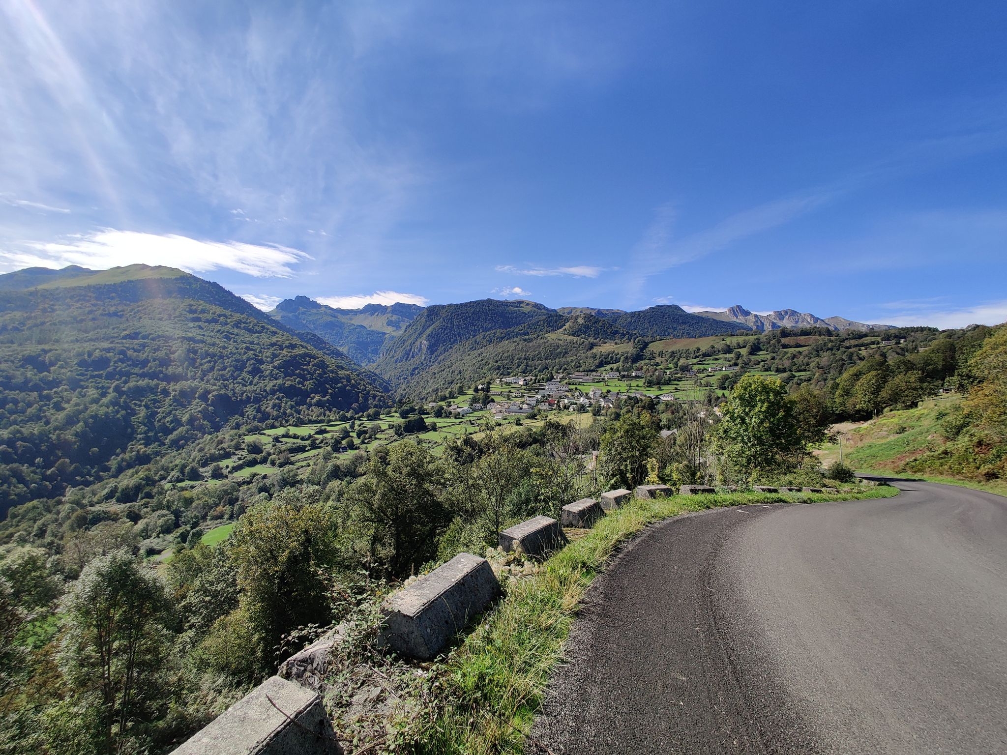
It is a simply spectacular port that unites the regions of Conflent and Capcir. It is one of the most beautiful ports in the easternmost Pyrenees. It is very close to the Col de la Llosa, and you can take a circular route that is known as the "Route des Cols". It is also indicated on nearby road signs. The hardest slope is the one that begins in Olette (Conflent) and goes up through Aiguatèbia. There are almost 22 km of ascent and 1,089 meters of elevation gain. It has 3 very different zones: (1) the first is a constant 5 km at 7%; (2) the second is 10 km at 4% and with some very pleasant rest areas, with beautiful views; (3) The final part is 6 km on average at 7%, since it passes the town of Railleu, although the hard part is the last 3 km, with several ramps that exceed 10%. The road is narrow and has uneven asphalt, with hardly any cars and motorcycles. For me, the final part of this port is truly spectacular and should not be missed. The west slope begins in the town of Matamala (Capcir) and is 3 km with an average of close to 8%. It is a long irregular stretch along a narrow and very quiet road, with panoramic views of the valley when the thick black pine forest gives some opportunity.
0
0

A little disappointing: the pass is in the middle of the forest and offers no view. The climb from (and to!) Railleu is nevertheless superb. A nice picnic area to have a bite to eat.
1
0

Lac de Matemale is an artificial lake located at an altitude of 1541 m and has an area of 2.23 km.
2
0
Frequently Asked Questions
How many no-traffic touring cycling routes are available in Font-Romeu-Odeillo-Via?
There are 14 dedicated no-traffic touring cycling routes around Font-Romeu-Odeillo-Via. These routes offer a mix of moderate and difficult options, ensuring a suitable ride for various skill levels.
What kind of terrain can I expect on these no-traffic cycling routes?
The no-traffic routes in Font-Romeu-Odeillo-Via traverse varied terrain, from forested sections and deep valleys to high mountain passes. You'll encounter significant elevation gains and descents, characteristic of the French Pyrénées Mountains, providing both challenging climbs and rewarding views. Some routes may also feature unpaved segments for an added touring experience.
Are there any easy no-traffic touring cycling routes for beginners or families?
While many routes feature significant elevation, the region offers options that can be enjoyed by those seeking a less strenuous ride. For example, the Avenue Emmanuel Brousse – Font-Romeu loop is a moderate 7.6 km route with 166m of elevation, making it a good option for a shorter, more accessible ride. The region also has a unique "Car-free old D32 – Font-Romeu loop" mentioned in the region research, which provides a peaceful experience on a road closed to cars.
What natural features can I see along the no-traffic cycling routes?
You'll be surrounded by the majestic Pyrenean scenery, with panoramic views of peaks and the Cerdagne region. Many routes pass by serene mountain lakes such as Lake Matemale, Lake Bouillouses, and Estany del Castellar. You'll also cycle through lush alpine forests and deep valleys, experiencing diverse ecosystems like the Eyne valley nature reserve.
Are there any circular no-traffic touring cycling routes?
Yes, many of the no-traffic touring cycling routes in Font-Romeu-Odeillo-Via are designed as loops. Examples include the Plà de Barrès River and Forest – Along the Têt river loop, the Lac du Raco – Font-Romeu loop, and the Lake Matemale – Col de la Creu loop, allowing you to start and finish at the same point.
What are some notable landmarks or attractions near these routes?
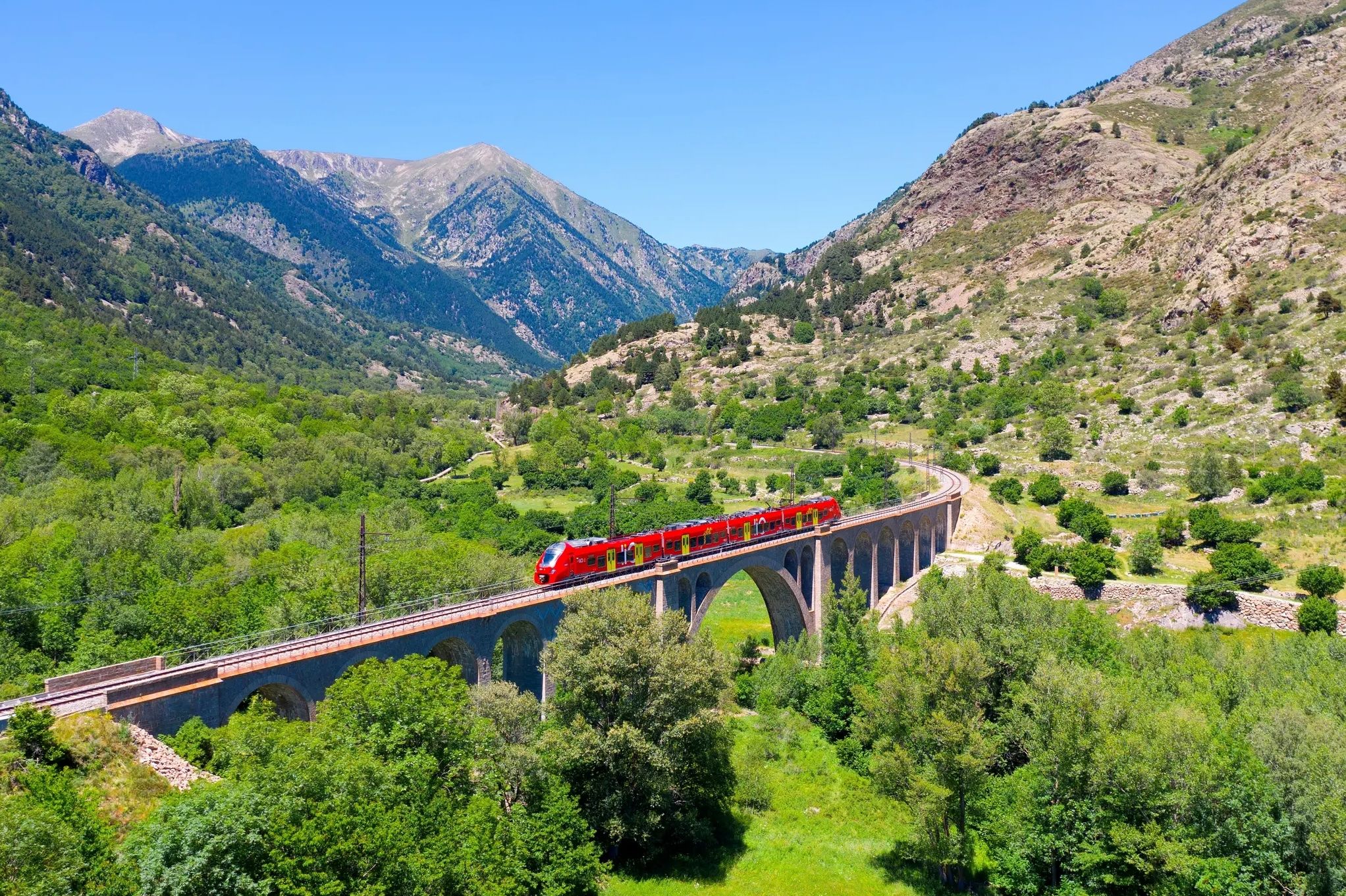
Beyond the natural beauty, you can incorporate cultural stops. The region is home to the historic Little Yellow Train, the scientific marvel of the Heliodyssee-Grand Four Solaire d'Odeillo, and the fortified town of Mont Louis. You might also pass by significant mountain passes like Col de la Perche (1,579 m) or Col de la Llose, offering stunning views.
What do other touring cyclists say about the no-traffic routes in Font-Romeu-Odeillo-Via?
The komoot community highly rates the touring cycling experience in Font-Romeu-Odeillo-Via, with an average score of 4.4 stars from 29 ratings. Reviewers often praise the stunning Pyrenean landscapes, the challenging yet rewarding climbs, and the peaceful nature of the routes away from heavy traffic.
Can I find routes that offer significant elevation challenges?
Absolutely. Font-Romeu-Odeillo-Via is known for its challenging mountain terrain. Routes like the Lake Matemale – Col de la Creu loop, spanning 55.4 km with over 1000m of elevation gain, or the Font-Romeu – Enduro flow in the forest loop, offer demanding climbs and descents for experienced touring cyclists.
Are there opportunities to combine cycling with other activities, like visiting thermal baths?
Yes, the region is well-suited for combining cycling with relaxation. After a challenging ride, you can unwind at the hot and sulphurous thermal baths of Saint Thomas, Dorres, or Llo, which are located within easy reach of many cycling routes.
What is the best time of year to cycle these no-traffic routes?
The best time to cycle in Font-Romeu-Odeillo-Via is typically during the warmer months, from late spring to early autumn. This period offers more stable weather conditions, open mountain passes, and lush scenery. Always check local weather forecasts, especially for higher elevations, as conditions can change rapidly in the mountains.
Are there any routes that offer views of prominent peaks?
Many routes provide breathtaking views of the surrounding Pyrenean peaks. The region is home to prominent peaks like Pic Carlit (2,921 meters) and Pic de Finestrelles, which offer immense panoramas over the valleys and lakes. The Calvary of Font-Romeu also provides a magnificent panoramic viewpoint.
Most popular routes around Font-Romeu-Odeillo-Via
Most popular attractions around Font-Romeu-Odeillo-Via

Get inspired with the komoot mobile app


Explore more
Browse the best Cycling routes in other regions.
