The best traffic-free bike rides around Mansilla De La Sierra
5.0
(2)
157
riders
6
rides
No traffic touring cycling routes around Mansilla De La Sierra traverse a landscape shaped by the Sierra de la Demanda and Sierra de Urbión, offering varied terrain for cyclists. The region features mountain ranges, natural parks, and the Embalse de Mansilla, providing diverse scenic backdrops. Cyclists can expect routes through extensive forests, meadows, and along rivers, with elevations ranging from undulating paths to more challenging climbs. The area's natural features, including the source of the Duero River and glacial lagoons,…
Last updated: May 21, 2026
25
riders
43.1km
03:50
960m
960m
Hard bike ride. Very good fitness required. Mostly paved surfaces. Suitable for all skill levels.
20
riders
20.7km
01:49
170m
170m
Moderate bike ride. Good fitness required. Mostly paved surfaces. Suitable for all skill levels.

Sign up for free
15
riders
19.4km
01:48
360m
360m
Moderate bike ride. Good fitness required. Mostly paved surfaces. Suitable for all skill levels.
11
riders
42.8km
04:19
880m
880m
Hard bike ride. Very good fitness required. Mostly paved surfaces. Suitable for all skill levels.
7
riders
26.1km
02:30
420m
420m
Moderate bike ride. Good fitness required. Mostly paved surfaces. Suitable for all skill levels.
Our route recommendations are based on thousands of hikes, rides, and runs completed by other people on komoot.
Start today with a free account
Your next adventure awaits.
Login or Signup
Popular around Mansilla De La Sierra
Tips from the Community

Stage 2. Duruelo de la Sierra/Soria 69 kilometers. 510 meters of elevation gain. Duruelo has hotels, restaurants, and grocery stores. It is the town where the Duero River originates at the foot of the Urbión Peaks. The Senda del Duero Nature Trail begins at Fuentes del Duero, where the river officially originates, at an altitude of 2,100 meters, a landscape of crushed granite shaped by the fierceness of the high mountains. The route leaves the town along the Senda del Duero. The posts are located at a cattle gate, and there are hiking and mountain bike trail signs in several directions. The path is also marked with the red and white stripes of the GR-14 trail. It crosses a small, inconspicuous slope on a grassy slope and descends some steps to the fantastic path that runs along the riverbank—the perfect way to start this cycle tour. The river path is about seven kilometers long, with the tricky sections at the end, where rain and flooding have stripped the road bare, requiring careful adjustment to squeeze gravel tires between the stones. There's also a short stretch of stairs that isn't suitable for cycling. The path passes over the Soria Bridge (17th century) and climbs the slopes of Mount Peña Rubia, far from the river. It's the longest and steepest climb of the cycling day. The end is impossible; the path is ridden with roots and rills from runoff, but it only takes a few minutes. Soon, the forest track appears, descending at full speed to Molinos de Duero, another iconic village of pine-forest architecture with its May pine tree in the square and a landmark for road cycling. The red markers of the Duero Path pass under the road and continue toward Vinuesa along the route of an ancient Roman road, which is quite difficult for gravel bikes due to the poor condition of the surface. The comfortable option for bicycles with panniers is the road. Vinuesa is a good place to grab a snack, a section of a branch of the Cañada Real Segoviana (Royal Segovian Trail) that reaches from the Cameros region of Rioja via the Puerto de Santa Inés. The pines of the Revinuesa Valley are magnificent; they have always been renowned for their high-quality wood and their proud, solemn bearing. For centuries, they have shaped the economic pulse of forest resources in the Pinares region.
0
0

hard descent to Altuzarra, very bad.
0
0

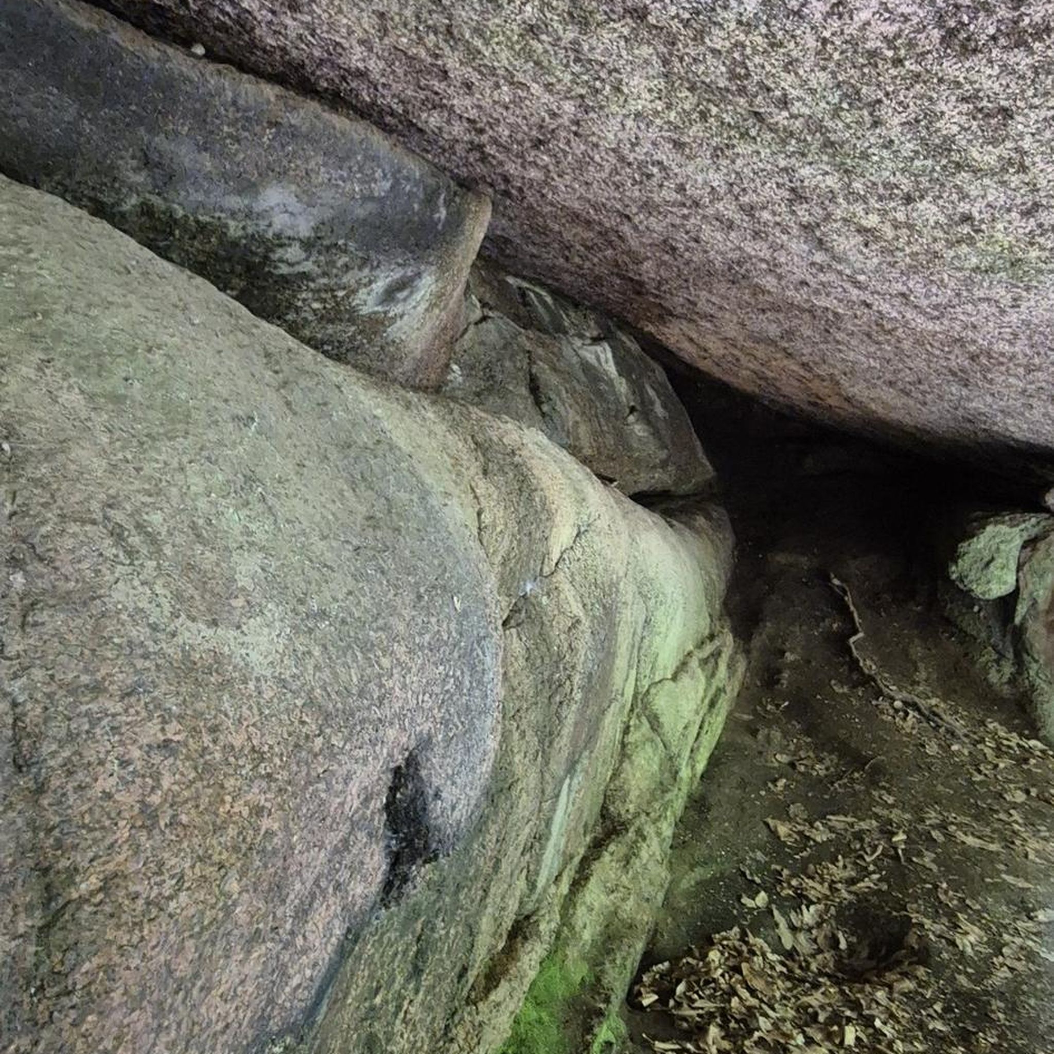
A curious large stone, it moves but cannot be dragged.
0
0
Nice area for outdoor activities.
0
0
In one of the many visits to Covaleda, which I usually go to, I have visited this beautiful place and I contribute photos
0
0
Frequently Asked Questions
How many no-traffic touring cycling routes are available in Mansilla De La Sierra?
There are 6 dedicated no-traffic touring cycling routes detailed in this guide for the Mansilla De La Sierra area. These routes offer a range of distances and difficulties, ensuring a peaceful ride away from vehicular traffic.
What kind of terrain can I expect on no-traffic touring routes around Mansilla De La Sierra?
The terrain around Mansilla De La Sierra is diverse, ranging from undulating paths through valleys and along rivers to more challenging mountain climbs within the Sierra de la Demanda and Sierra de Urbión. You'll encounter varied ecosystems, extensive forests, and lush meadows, often on quiet tracks or dedicated paths.
Are there any circular no-traffic touring routes available?
Yes, several routes are circular, allowing you to start and end in the same location. For example, the San Antonio Junction – Collado Ibaya loop from Azárrulla offers a challenging 43 km ride, while the Puente de los Arrieros – Duero Trail loop from Covaleda is a moderate 20.7 km option.
What are the difficulty levels of the no-traffic touring routes?
The routes in this guide are primarily moderate to difficult. There are 2 moderate routes, such as the Puente de los Arrieros – Medieval Bridge of Soria loop from Covaleda, and 4 difficult routes, including the Santo Domingo Bridge – Cueva Tío Melitón loop from Covaleda, which features significant elevation changes.
What natural attractions can I see along these routes?
The routes often pass through or near stunning natural features. You might encounter the impressive Pico de Urbión, the Source of the Duero River, or the serene Laguna Larga, one of the Urbión glacial lagoons. The Ojeda River Waterfall is another beautiful highlight in the area.
Are there any historical or cultural landmarks to explore while cycling?
Yes, the region is rich in history. While cycling, you can discover the unique Mansilla De La Sierra reservoir, where the remains of the old submerged village become visible at low water levels. The 12th-century Santa Catalina Chapel, with its Romanesque elements, is also a notable historical gem near the reservoir.
What is the best time of year for no-traffic touring cycling in Mansilla De La Sierra?
The best time to visit for touring cycling is typically during the spring and autumn months. These seasons offer pleasant temperatures and vibrant landscapes, avoiding the intense heat of summer and the colder, potentially snowy conditions of winter in the higher mountain areas like the Sierra de la Demanda and Sierra de Urbión.
Are the no-traffic routes suitable for families with children?
While the guide features routes primarily of moderate to difficult grades, some sections of the broader Alto Najerilla Natural Park or potential Vías Verdes (converted railway lines) in the wider La Rioja region might offer gentler, traffic-free options suitable for families. Always check individual route details for elevation and surface type to ensure it matches your family's ability.
Can I bring my dog on these no-traffic cycling routes?
Many natural areas in Spain, including parts of the Alto Najerilla Natural Park, are generally dog-friendly, especially on trails where dogs are kept on a leash. However, it's crucial to check specific local regulations for each route or protected area you plan to visit, as rules can vary, particularly concerning wildlife protection.
What do other touring cyclists enjoy most about cycling in Mansilla De La Sierra?
The area is highly rated by the komoot community, with an average score of 5.0 stars. Reviewers often praise the stunning natural landscapes, the tranquility of the no-traffic routes, and the opportunity to explore the diverse ecosystems of the Sierra de la Demanda and Urbión mountains.
Are there places to eat or stay near the no-traffic cycling routes?
Mansilla De La Sierra and the surrounding 'Siete Villas' offer local amenities including cafes, restaurants, and accommodation options. These villages provide a charming base for your cycling adventures, allowing you to refuel and relax after your rides.
Where can I park my car to access these no-traffic cycling routes?
Parking is generally available in the villages from which these routes start, such as Azárrulla or Covaleda. It's advisable to check local parking availability upon arrival, especially during peak seasons, to ensure convenient access to the trailheads.
Most popular routes around Mansilla De La Sierra
Most popular attractions around Mansilla De La Sierra

Get inspired with the komoot mobile app


Explore more
Browse the best Cycling routes in other regions.
