The best road cycling routes around Markgröningen
4.4
(990)
17,750
riders
11
rides
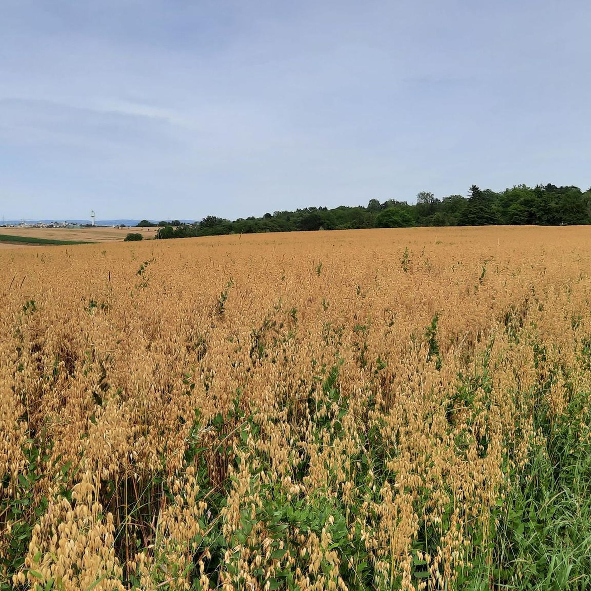
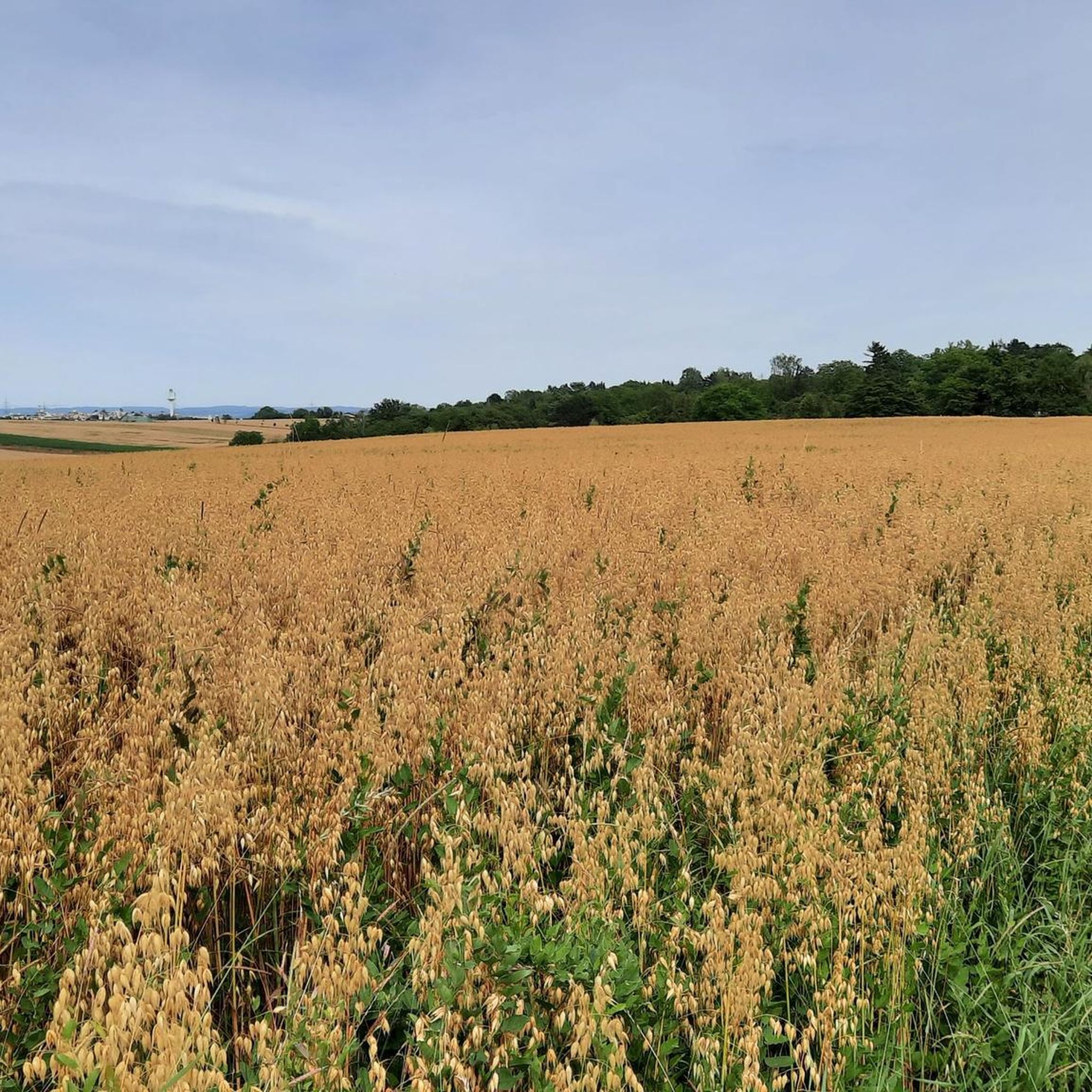
Road cycling routes around Markgröningen traverse a landscape characterized by river valleys, plateaus, and rolling hills. The region is situated near the Enz, Leudelsbach, and Glems rivers, offering scenic routes along waterways. This topography provides a mix of terrain, from generally flat stretches in the valleys to more varied ascents on higher ground. The area features predominantly paved surfaces and quiet roads suitable for road cyclists of various fitness levels.
Best road cycling routes around Markgröningen
- The most popular road…
Last updated: May 12, 2026
4.8
(12)
140
riders
21.2km
01:00
130m
130m
Easy road ride. Great for any fitness level. Mostly well-paved surfaces and easy to ride.
5.0
(2)
27
riders
25.4km
01:18
300m
300m
Moderate road ride. Good fitness required. Some segments of this route may be unpaved and difficult to ride.

Sign up for free
3.0
(2)
18
riders
21.1km
01:03
200m
200m
Easy road ride. Great for any fitness level. Mostly well-paved surfaces and easy to ride.
3.3
(3)
15
riders
19.8km
00:54
210m
210m
Easy road ride. Great for any fitness level. Mostly well-paved surfaces and easy to ride.
15
riders
39.4km
01:45
340m
340m
Moderate road ride. Good fitness required. Mostly well-paved surfaces and easy to ride.
Get access to more routes and recommendations from other explorers.
Sign up for free
Already have an account?
Our route recommendations are based on thousands of hikes, rides, and runs completed by other people on komoot.
Start today with a free account
Your next adventure awaits.
Login or Signup
Tips from the Community

On the right bank of the Enz, in front of the high Wobach rock face, about 300m upstream from the railway viaduct, there has been a walkable landscape model since the 1989 State Garden Show, featuring the rocks of the South German Scarpland. On a geological journey through time, one gains insights into the course of life on Earth, the origin and structure of the Scarpland, as well as the life world of the Muschelkalk sea.
3
0
Beautiful view of the Enz Viaduct, which was built as a railway viaduct between 1851 and 1853 as part of the Württemberg Westbahn Bietigheim–Bruchsal under the direction of construction councillor Karl Etzel.
2
0

Hidden behind overgrown bushes lies this rather large quarry. Truck access is from the bottom, near the Glems River. "Nothing's as precious as a hole in the ground" (Midnight Oil)
1
1
View of the Altsachsenheim castle ruins from the pedestrian and cycle path along the Enz river.
5
0
Good view from the pedestrian and cycle path along the Enz river of the Altsachsenheim castle ruins perched above the Enz riverbank.
4
0
Cyclist and pedestrian bridge over the Enz river with a beautiful view of the water.
4
0
Markgröningen's highest point. A water tower visible from afar, with a few pleasant benches and tables in front, perfect for picnics.
0
0

The Staufer stele has been relocated. It is now set off to the right of the church entrance. The Staufer stele is definitely worth a look. Since 2000, 38 Staufer steles have been erected in six European countries as part of a project unique in the world. The steles are located at sites related to the history of the Staufers, who were dukes, kings, and emperors in the High Middle Ages.
1
1
Frequently Asked Questions
How many road cycling routes are available around Markgröningen?
Our guide features 11 curated road cycling routes around Markgröningen, catering to various skill levels. The broader region offers an extensive network of over 318 cycling options.
What kind of terrain can I expect on road cycling routes in Markgröningen?
The Markgröningen area offers a diverse landscape for road cycling, characterized by scenic river valleys (like the Enz, Leudelsbach, and Glems), plateaus, and rolling hills. You'll find generally flat stretches along the river paths, as well as more varied ascents and descents on higher ground, providing a mix of easy and moderate challenges.
Are there easy road cycling routes suitable for beginners or a relaxed ride?
Yes, Markgröningen has several easy road cycling routes. A popular choice is the Langwiesenweg – Bietigheim Viaduct loop from Unterriexingen, which is 21.2 km long and follows the Enz Valley, passing by the impressive Bietigheim Viaduct. Another easy option is the Markgröningen Town Hall – Bridge over the Enz loop from Markgröningen, also 21.2 km, leading through the Enz river valley.
What are some scenic highlights or natural features I might encounter on a road cycling tour?
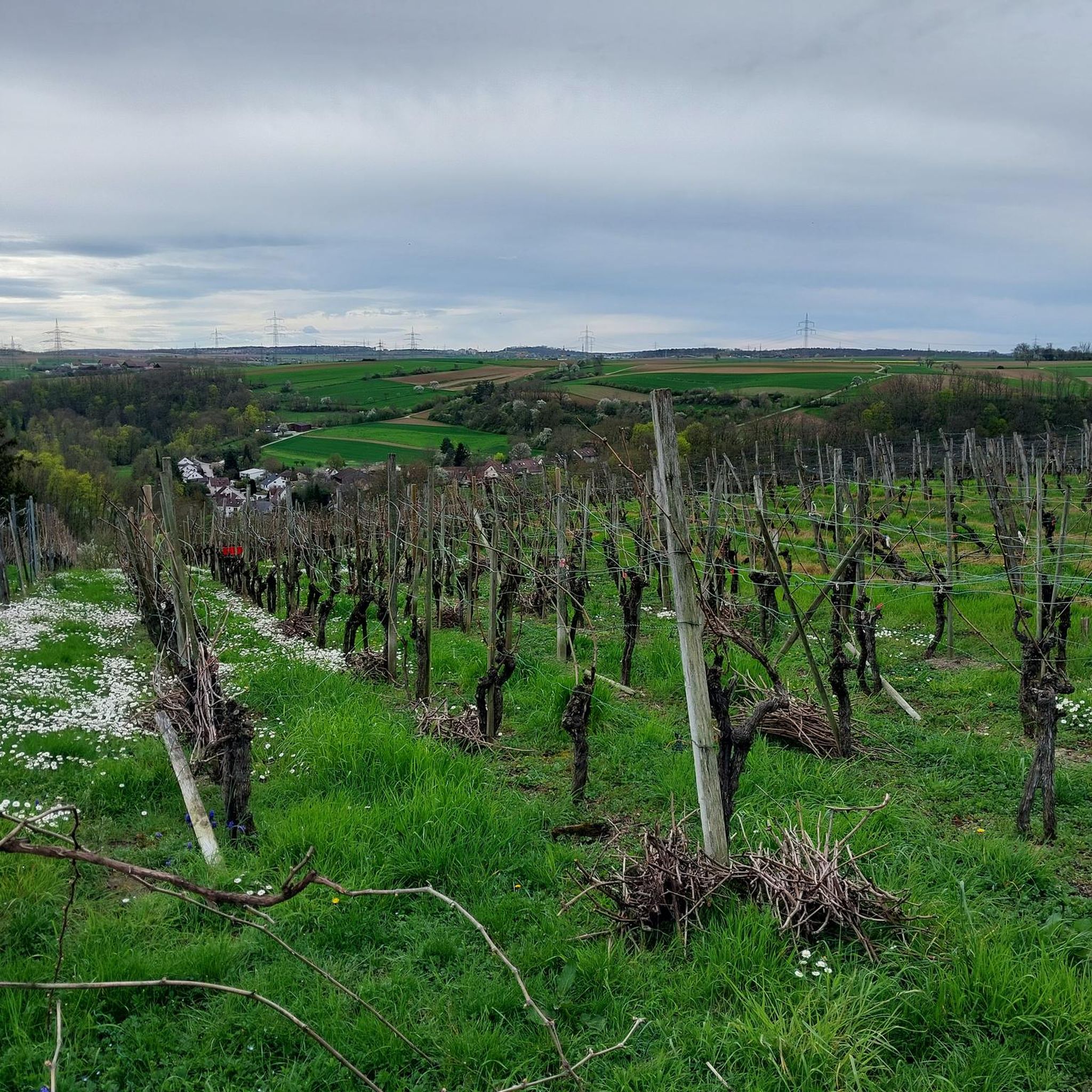
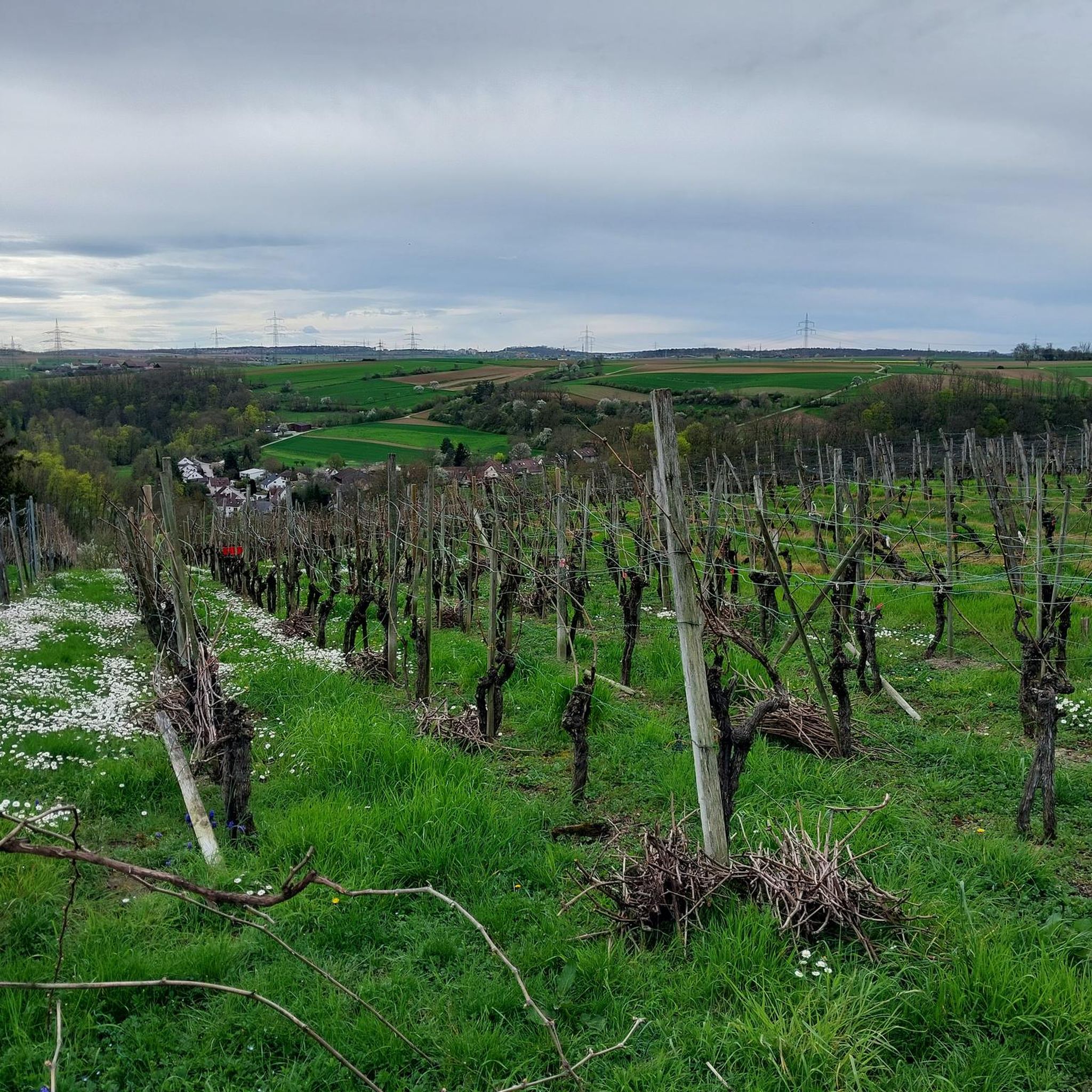
Road cycling routes often wind through picturesque river valleys, such as the Enz, Leudelsbach, and Glems. You can also experience routes that take you through vineyard areas, particularly around Besigheim, which features steep, terraced vineyards. The Grüner Heiner Viewing Platform offers expansive views of the surrounding landscape.
Are there any challenging road cycling routes with significant elevation gain?
While our guide features moderate routes, the region's varied topography includes rolling hills and plateaus that offer more challenging sections. For instance, the View of the Enz Valley – Bridge over the Enz loop from Markgröningen is a moderate 40.1 km route with over 350 meters of elevation gain, providing a good workout and rewarding views.
What historical or cultural points of interest can I visit along the routes?
Many routes offer opportunities to explore historical sites. The Marktplatz Markgröningen – Celtic Museum Hochdorf loop from Markgröningen passes by historical points of interest, including the Celtic grave Hochdorf. You might also encounter the historic Markgröningen Old Town with its half-timbered houses, or the medieval charm of Besigheim Old Town.
What do other road cyclists say about the routes in Markgröningen?
The road cycling routes in Markgröningen are highly rated by the komoot community, with an average score of 4.4 stars from over 700 reviews. Cyclists often praise the well-maintained paved surfaces, the quiet roads, and the beautiful mix of river valleys and rolling hills.
When is the best season for road cycling in Markgröningen?
May and June are particularly popular months for cycling in Markgröningen due to favorable weather conditions. However, the region offers enjoyable road cycling throughout the spring, summer, and early autumn, allowing you to experience the changing landscapes.
Are there any circular road cycling routes available?
Yes, many of the road cycling routes around Markgröningen are designed as loops, allowing you to start and end in the same location. Examples include the Markgröningen Town Hall – Langwiesenweg loop from Markgröningen, a 19.9 km easy ride, and the Langwiesenweg – Bietigheim Viaduct loop from Unterriexingen.
Can I find places to rest or get refreshments along the road cycling routes?
Yes, some routes pass by convenient spots for a break. For example, the Biergarten "Posten 35" is located along a popular route and offers an idyllic setting for refreshments during your ride.
What are some notable viewpoints or observation points accessible by road bike?
Beyond the general scenic views from plateaus, you can aim for specific viewpoints. The Grüner Heiner Viewing Platform is a prominent spot offering panoramic vistas. Additionally, the Eselsburg Observation Tower provides another excellent opportunity for expansive views of the area.
Most popular routes around Markgröningen
Most popular attractions around Markgröningen

Get inspired with the komoot mobile app


Explore more
Browse the best Road cycling routes in other regions.
