The best family-friendly hikes and walks around Sint-Niklaas
4.3
(6889)
35,854
hikers
1,311
hikes
Family friendly hiking trails around Sint-Niklaas traverse a landscape characterized by diverse natural features, including extensive green spaces, river valleys, and forests. The region offers well-maintained paths through areas like the Moervaartvallei and Grenspark Groot Saeftinghe. Hikers can explore varied terrain, from tranquil city parks to expansive floodplains and nature reserves. The low elevation throughout the area makes most routes accessible for families.
Best family friendly hiking trails in Sint-Niklaas
- The most popular family friendly hiking route is Rupelmond Creek hiking trail - National Park Scheldt Valley, a 5.1 miles (8.1 km) trail that takes 2 hours 3 minutes to complete. This moderate route offers views within the Scheldt Valley National Park.
- Another top favourite among local hikers is Barbier Brook hiking trail - National Park Scheldt Valley, a moderate 5.2 miles (8.3 km) path. This trail also explores the natural beauty of the Scheldt Valley National Park.
- Local hikers also love the Moervaartmeersen – Chapel of the Cross loop from Daknam, a 8.4 miles (13.5 km) trail leading through the Moervaartmeersen area, often completed in about 3 hours 23 minutes.
- Hiking around Sint-Niklaas is defined by river valleys, extensive forests, and green city parks, offering a mix of natural and urban green spaces. The network provides options for different ability levels, with many easy to moderate routes suitable for families.
- The routes in Sint-Niklaas are highly rated by the komoot community with an average score of 4.3 stars from more than 5,800 reviews. More than 32,000 hikers have used komoot to explore Sint-Niklaas's varied terrain.
Last updated: August 10, 2026
4.4
(159)
627
hikers
8.15km
02:04
20m
20m
Moderate hike. Good fitness required. Easily-accessible paths. Suitable for all skill levels.
4.3
(145)
659
hikers
8.35km
02:07
20m
20m
Moderate hike. Good fitness required. Easily-accessible paths. Suitable for all skill levels.

Sign up for free
4.5
(340)
883
hikers
Moderate hike. Good fitness required. Easily-accessible paths. Suitable for all skill levels.
4.5
(153)
684
hikers
11.7km
02:56
10m
10m
Moderate hike. Good fitness required. Easily-accessible paths. Suitable for all skill levels.
4.6
(163)
536
hikers
15.0km
03:51
60m
60m
Moderate hike. Good fitness required. Easily-accessible paths. Suitable for all skill levels.
Get access to more routes and recommendations from other explorers.
Sign up for free
Already have an account?
Our route recommendations are based on thousands of hikes, rides, and runs completed by other people on komoot.
Start today with a free account
Your next adventure awaits.
Login or Signup
Popular around Sint-Niklaas

Family-friendly hikes in De Linie

Family-friendly hikes in Fondatie Van Boudelo

Family-friendly hikes in Daknamse Meersen

Family-friendly hikes in Brakwaterschorren Langsheen De Schelde Ten Noorden Van Antwerpen
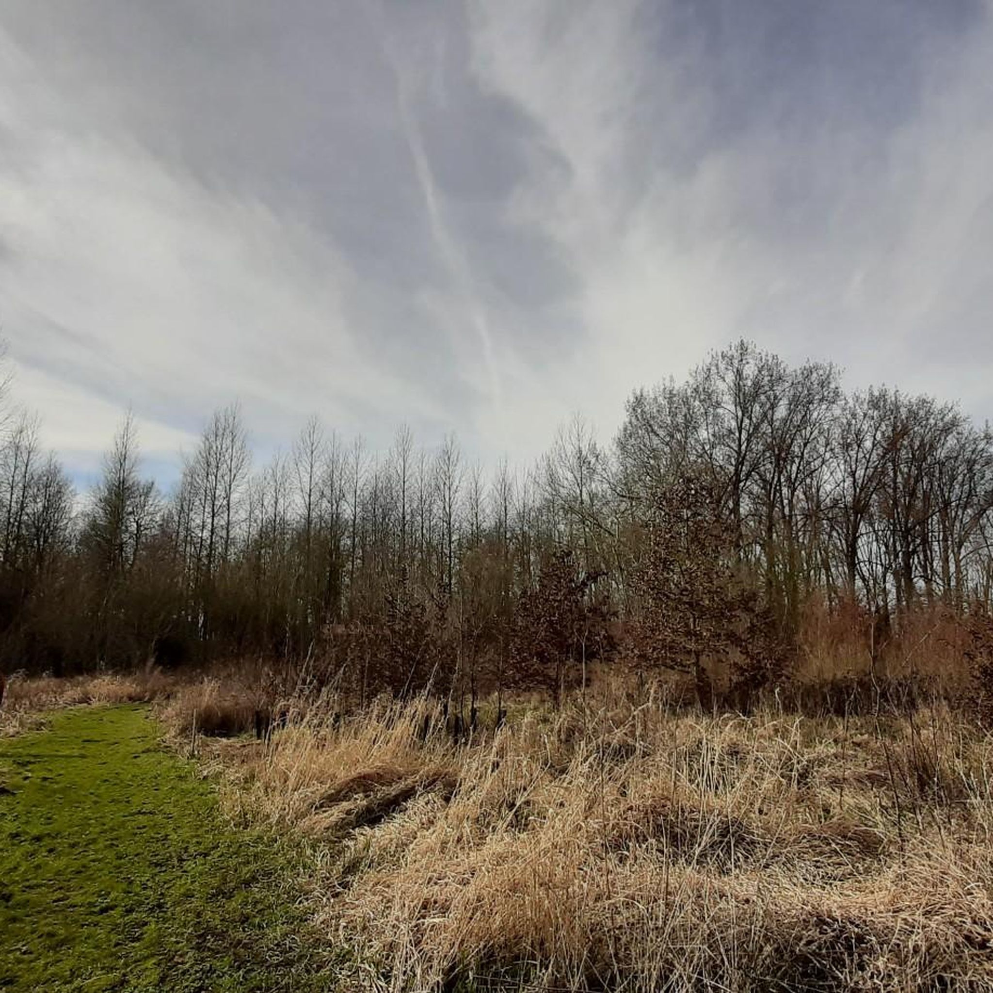
Family-friendly hikes in Polder Van Kruibeke, Bazel En Rupelmonde

Family-friendly hikes in Barbierbeekvallei En Bolakkergebied

Family-friendly hikes around Grote Geule
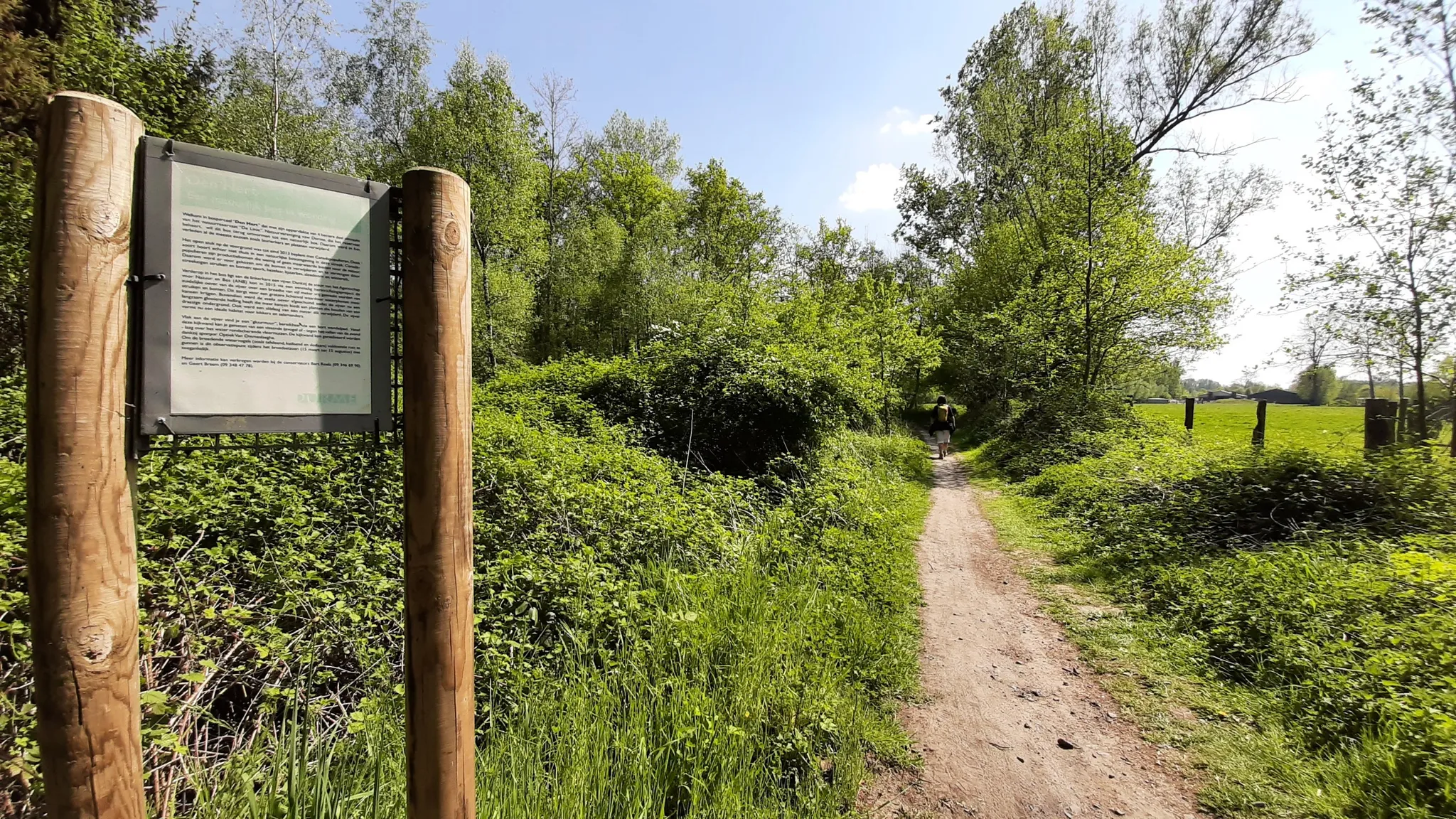
In the footsteps of den vos Reynaerde – Streek-GR Waas- en Reynaertland
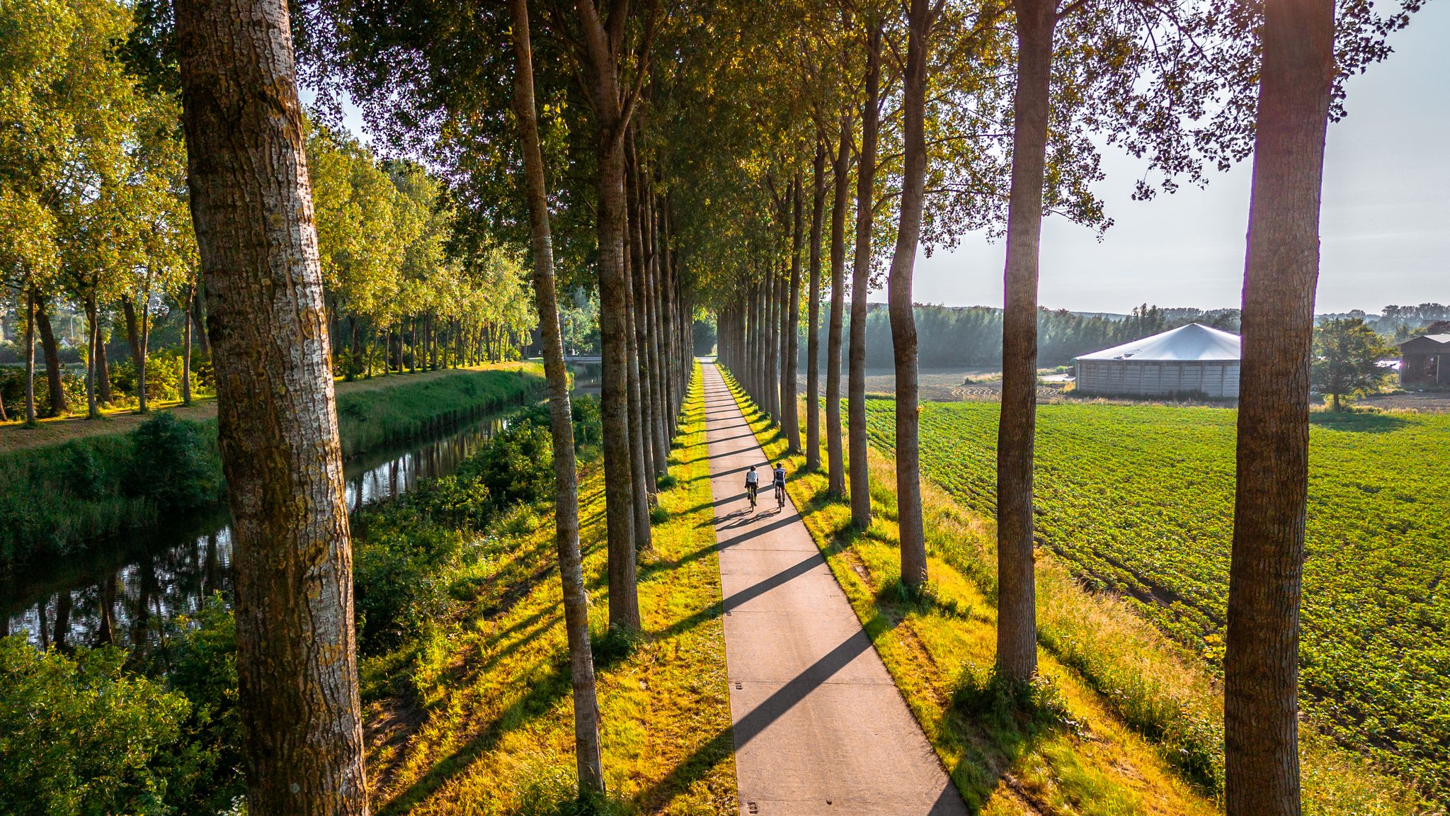
The six most beautiful cycling routes in East Flanders
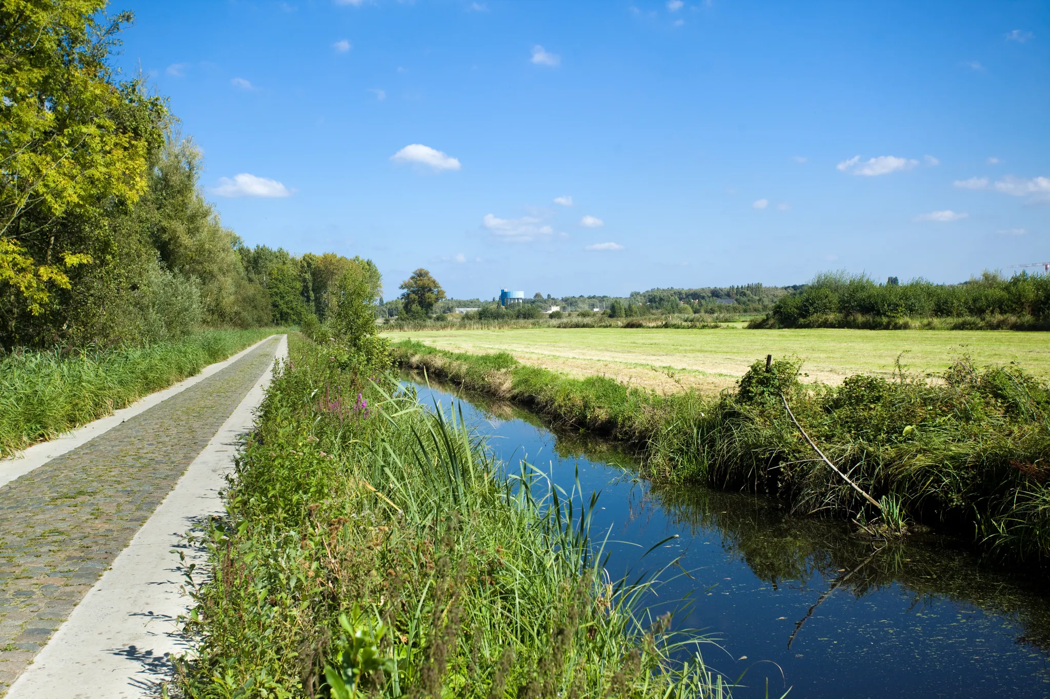
Two days Cycling in the border region – Between de Schelde and Zeeland
Other adventures around Sint-Niklaas


Tips from the Community

www.vzwdurme.be De Gluurmuur Den Hert is a wooden bird hide and observation wall with viewing holes. The wall is located on the edge of a large forest pond in the Den Hert woodland in Eksaarde (Lokeren, Belgium). The area is part of the over 300-hectare nature reserve De Linie and is managed by vzw Durme.
0
0

A very beautiful piece of nature where hikers, mountain bikers, and gravel riders can have a great time.
0
0

The Stropersbos is located right on the Belgian-Dutch border and forms a whole with the Clingse Bossen, as the forest on the Dutch side of the border is called. The history of the forest dates back to the 13th century. This means that the forest has experienced wars, and from one of those wars, the War of the Spanish Succession (1702-1713), very clear traces can still be seen: there are still a number of remnants of the Line that served here in 1701. A little further north, there are also remains of Fort Sint-Jan (from which the Dutch municipality Sint-Jan-Steen derives its name). But even if you are not interested in that history, the Stropersbos is a special place, both for the tree and plant lover, the birdwatcher, the playing child, the boot-wearing walker who likes to trudge through mud, the bivouacker, ... and everyone who simply enjoys a walk. There is a good chance you will encounter wild horses, pass grazing sheep, or that - who knows, maybe you'll be as lucky as I was - roe deer or a fox will cross your path. In short: a very beautiful hiking area ...
3
0
Open every day except Monday from 11:00 AM; on Mondays only from 5:00 PM.
4
0
On Friday, April 5, 1867, the Spletterenbrug was officially opened. Between Moerbeke and Lokeren, trains stopped in Daknam and Eksaarde. In Moerbeke, travelers could transfer to railway line 77 towards Zelzate or towards Sint-Gillis-Waas. That the intention was to one day double the 9-kilometer railway line to two tracks is still visible on the Spletterenbrug. Both bridge abutments are indeed twice as wide as the bridge deck itself. It never came to that. On the contrary. The railway line suffered during both world wars, causing traffic to be suspended for months. For example, retreating German soldiers blew up the bridge at the end of World War I. Less than a year after the armistice, in September 1919, the line was already restored and trains could run on the route again. In 1940, the Belgian army, in turn, tried to slow down the German advance by destroying the bridge. The bridge was repaired again. In 1971, the last train chugged along the route. After more than a century of train traffic, the tracks were dismantled and the route was redeveloped as a cycling and walking path from Lokeren to Moerbeke. The Spletterenbrug itself was preserved and restored in 2017. The seven layers of paint were removed, and the bridge regained its original, dark gray color. Source: industriecultuur.be
4
0


At this hidden location, you can discover a hidden resting place. Once a beautiful viewpoint of the Scheldt. A place of entertainment and enjoyment by the river. Historical significance: It may sound unlikely, but this unique building was originally the Swedish pavilion at the 1930 World's Fair in Antwerp. Historical significance of this location: Until World War II, residents of Bazel and Hemiksem came here to cool off in the concrete pool filled with Scheldt water. The adjacent pavilion served as a cafeteria and bathhouse at the time. The municipality decided to preserve the pavilion as a landmark on the Scheldt. Today, this place is an idyllic spot for many walkers and cyclists in the Polders of Kruibeke.
3
0

Den Hert is a forest with a pond and is part of the De Linie nature reserve. The area is managed by the non-profit organization Durme. The peep wall is an observation wall where you can observe and photograph birds up close. The wall was built with support from the Agency for Nature and Forests (ANB) and sponsor Natuurkijkers.be. Together with the surrounding forests, Den Hert forms a large, contiguous nature reserve (approximately 300 hectares). Since 2006, the area has been made more nature-friendly: exotic species were removed, several plane trees with tree hollows were left standing (a roost for woodpeckers and bats), and in 2015, the banks of the pond were modified. Steep banks were replaced with a gentler slope, and more light was introduced around the pond. Species including bulrush, cattail, and water lily now grow around the pond. In summer, this is a breeding ground for various waterfowl. In late summer, the water level is often low: ideal for kingfishers, which can then fish up close. On muddy banks, you can sometimes also spot wading birds or wagtails. In autumn and winter, many songbirds come to the feeding table. On the way to the viewing wall, you walk over a "rabat": a raised earthen strip, an old system for planting forests on wet ground. The viewing wall is accessible from August 15th to March 15th to give the animals a rest during the breeding season. Approach the viewing wall as quietly as possible. Dogs are left at the entrance.
1
0
Frequently Asked Questions
How many family-friendly hiking trails are available around Sint-Niklaas?
Sint-Niklaas offers a wide variety of options for families. There are over 1200 hiking routes in the region, with more than 700 classified as easy, making them suitable for families with children of all ages.
What kind of natural landscapes can we expect on family hikes in Sint-Niklaas?
The region boasts diverse natural landscapes, from extensive green spaces within the city to picturesque nature reserves. You'll find trails winding through forests, along brooks, and across open fields. Notable areas include the Moervaartvallei and Grenspark Groot Saeftinghe, offering hundreds of kilometers of marked paths through varied scenery.
Are there any circular routes suitable for families?
Yes, many of the family-friendly trails in Sint-Niklaas are circular, offering convenient starting and ending points. For example, the Moervaartmeersen – Chapel of the Cross loop from Daknam is a great option for a longer family outing, allowing you to explore the area without retracing your steps.
What are some interesting landmarks or natural features to look out for on these trails?
You'll find several points of interest. The Mira Bridge over the Durme river is a scenic landmark. Nature lovers will appreciate the vast Polders of Kruibeke, Flanders' largest flood plain, known for its birdlife. The Heather Stropersbos also offers beautiful natural scenery. For a historical touch, the Spanish Line in Stropersbos is an interesting site.
Can we bring our dog on family hikes in Sint-Niklaas?
Many trails in Sint-Niklaas are dog-friendly, but it's always best to check local signage for specific rules, especially in nature reserves. Generally, dogs should be kept on a leash to protect wildlife and ensure a pleasant experience for all hikers. The region's focus on green spaces often includes areas where dogs are welcome.
What is the typical terrain and difficulty level of family-friendly trails?
Most family-friendly trails in Sint-Niklaas feature relatively flat terrain, often on well-maintained paths through forests, parks, and along waterways. Routes like the Rupelmond Creek hiking trail and the Barbier Brook hiking trail, both within the Scheldevallei National Park, have minimal elevation gain, making them accessible for most families.
Are there any shorter trails suitable for very young children or strollers?
Yes, for very young children or those with strollers, the City Park in Sint-Niklaas offers paved paths and green spaces. Additionally, the Park Cemetery provides a serene environment with well-maintained grounds. Some sections of the 'trage wegen' (slow roads) network are also suitable, as they prioritize walkers and cyclists.
When is the best time of year to go hiking with family in Sint-Niklaas?
Spring and autumn are particularly pleasant for family hikes, with mild temperatures and beautiful scenery as nature awakens or changes colors. Summer is also great, especially for trails with shaded forest sections or near water. Even in winter, many paths remain accessible for a refreshing walk, though some unpaved sections might be muddy.
What do other hikers enjoy most about hiking in Sint-Niklaas?
The komoot community highly rates the hiking experiences around Sint-Niklaas, with an average score of 4.3 stars. Reviewers often praise the region's peaceful natural settings, the well-maintained and varied trails, and the accessibility for families. The blend of natural beauty with historical elements also receives positive feedback.
Are there amenities like cafes or restrooms near the hiking trails?
While specific amenities vary by trail, many routes pass through or near towns and villages where you can find cafes, restaurants, and public restrooms. Larger parks, like the City Park, often have facilities. For longer routes, it's always a good idea to pack snacks and drinks, especially when hiking with children.
What are the parking options for family hiking trails in Sint-Niklaas?
Parking is generally available near popular trailheads and natural areas. For instance, routes like the Stropersbos – Heather Stropersbos loop often have designated parking areas. In smaller villages or near specific attractions, you might find street parking or small lots. It's advisable to check the starting point of your chosen route for specific parking information.
Can we reach any family-friendly trails by public transport?
Yes, Sint-Niklaas has a good public transport network, and many trails are accessible by bus or train. The 'trage wegen' network is designed to connect various points of interest, including public transport hubs, making it easier to start your hike without a car. Checking local bus schedules to trail starting points is recommended.
Most popular routes around Sint-Niklaas
Most popular attractions around Sint-Niklaas

Get inspired with the komoot mobile app


Didn’t find what you were looking for?
Check out more Hikes throughout Sint-Niklaas below and find the perfect route in your destination.
Explore more
Browse the best Hikes in other regions.
