The best traffic-free bike rides around Pont-À-Celles
4.2
(77)
578
riders
53
rides
No traffic touring cycling routes around Pont-À-Celles are characterized by the old Brussels-Charleroi Canal, which offers scenic paths alongside meadows and past old lock houses. The region features three Natagora nature reserves—Biernimont, Launoy, and Viesville—providing diverse environments with wooded areas and wetlands. These routes often include views of impressive engineering structures and historical points of interest along the waterways. The landscape provides varied terrain suitable for touring cyclists.
Best no traffic touring cycling routes around Pont-À-Celles
- The most popular no…
Last updated: July 14, 2026
4.1
(30)
147
riders
47.0km
02:49
230m
230m
Moderate bike ride. Good fitness required. Mostly paved surfaces. Suitable for all skill levels.
4.3
(3)
78
riders
Hard bike ride. Good fitness required. You may need to push your bike for some segments of this route.

Sign up for free
30
riders
59.7km
04:12
500m
500m
Hard bike ride. Very good fitness required. Mostly paved surfaces. Suitable for all skill levels.
1.0
(1)
17
riders
54.4km
03:22
370m
370m
Moderate bike ride. Good fitness required. Mostly paved surfaces. Suitable for all skill levels.
4.0
(1)
33
riders
18.8km
01:06
70m
70m
Easy bike ride. Great for any fitness level. Mostly paved surfaces. Suitable for all skill levels.
Get access to more routes and recommendations from other explorers.
Sign up for free
Already have an account?
Our route recommendations are based on thousands of hikes, rides, and runs completed by other people on komoot.
Start today with a free account
Your next adventure awaits.
Login or Signup
Popular around Pont-À-Celles
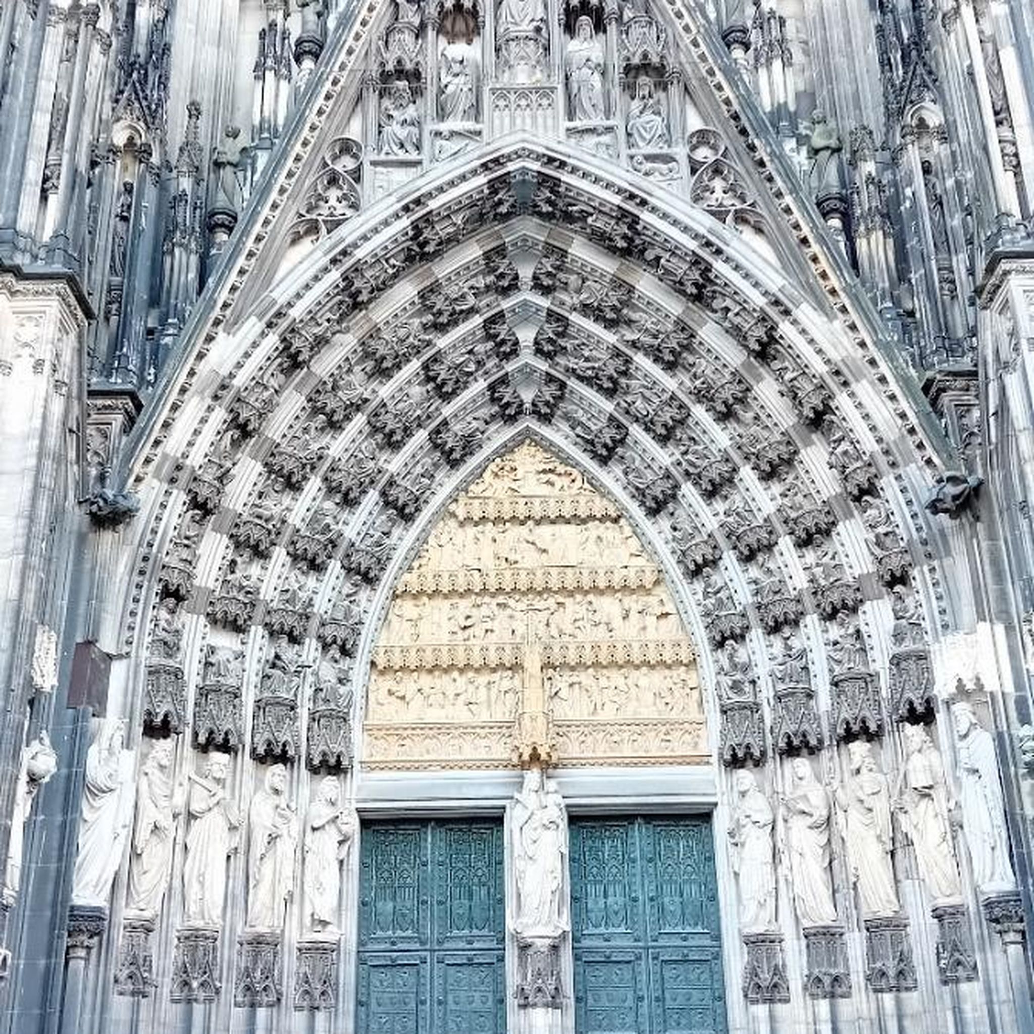
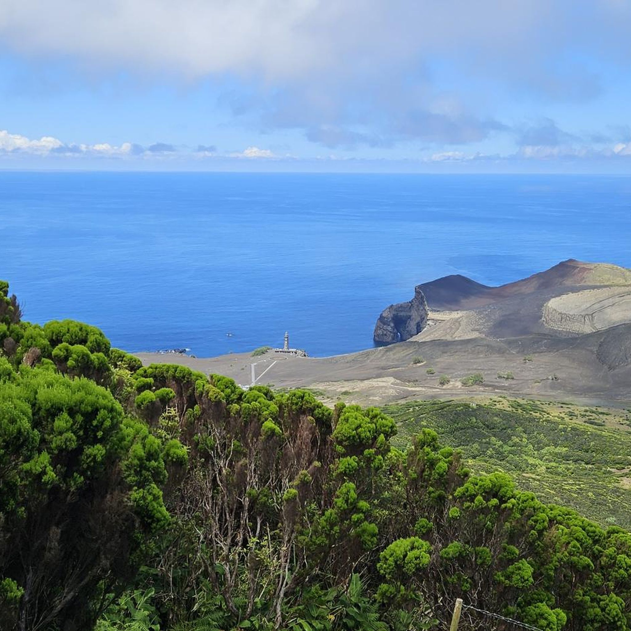
Tips from the Community

Looks like a beautiful castle, unfortunately it cannot be visited. On the other side of the street, you have the source of the Dijle.
0
0

Beautiful site on the old canal
0
0

Beautiful castle as well as park!
1
0

A lovely place for meditation. A very beautiful little chapel.
0
0

An old bridge dedicated to bicycles and pedestrians. A route for beautiful walks.
0
0
One of the many locks on the canal. From here you can head up to Viesville or head towards Seneffe or Charleroi.
0
0

A quiet and peaceful spot. A place to sit when the sun is shining and enjoy the coolness of the trees and the water.
0
0
Frequently Asked Questions
How many no traffic touring cycling routes are available around Pont-À-Celles?
There are over 50 dedicated no traffic touring cycling routes around Pont-À-Celles, offering a wide range of options for cyclists seeking peaceful rides. These routes vary in difficulty and length, ensuring there's something for every skill level.
What kind of terrain can I expect on the car-free cycling routes in Pont-À-Celles?
The no traffic routes in Pont-À-Celles primarily follow the picturesque old Brussels-Charleroi Canal and sections of the RAVeL network. This means you can expect mostly flat, well-maintained paths, often paved or with smooth surfaces, ideal for touring bicycles. Some routes may include gentle inclines, particularly when deviating from the canal to explore nearby nature reserves or villages.
Are there any family-friendly no traffic cycling routes in the area?
Yes, Pont-À-Celles offers several easy, traffic-free routes perfect for families. These often stick to the canal paths, providing safe and enjoyable rides. An example is the Seneffe Marina – Remains of a Swing Bridge loop from Luttre, which is rated easy and covers a distance of approximately 32.8 km.
What interesting landmarks or natural features can I see along these routes?
Many no traffic routes in Pont-À-Celles offer views of the historic Brussels-Charleroi Canal, complete with old lock houses. You can also encounter significant engineering marvels like the Ronquières Inclined Plane and the unique Pont de l'Origine Drawbridge. The region is also home to Natagora nature reserves, such as Biernimont, Launoy, and Viesville, which provide opportunities to observe diverse wildlife and wetlands. For specific viewpoints, consider visiting the Observatory at Réserve Naturelle Domaniale des Dicentraires.
Are there any circular no traffic touring routes available?
Yes, many of the no traffic touring routes around Pont-À-Celles are designed as loops, allowing you to start and end at the same point without retracing your steps. For instance, the Couillet Lock – Ligne 112A Bridge loop from Luttre offers a moderate 47.4 km circular ride.
What is the best time of year to cycle the no traffic routes in Pont-À-Celles?
Spring, summer, and early autumn are generally the best times to enjoy the no traffic cycling routes in Pont-À-Celles. During these seasons, the weather is typically mild, and the canal-side paths and nature reserves are at their most vibrant. The flat nature of many routes makes them accessible even in cooler shoulder seasons, but always check local weather forecasts.
Can I find cafes or places to stop for refreshments along the car-free routes?
Yes, many routes, especially those following the Brussels-Charleroi Canal or passing through villages, will have opportunities for refreshments. You can often find cafes, small shops, or even restaurants in the towns and hamlets adjacent to the cycling paths. Planning your route with komoot allows you to discover such points of interest beforehand.
What do other touring cyclists enjoy most about cycling in Pont-À-Celles?
The area is highly rated by the komoot community, with an average score of 4.1 out of 5 stars from over 90 ratings. Reviewers often praise the tranquility of the car-free canal paths, the scenic beauty of the natural landscapes, and the historical points of interest like the drawbridges and inclined plane that make for a unique touring experience.
Are there any longer, more challenging no traffic touring routes?
While many no traffic routes are easy, there are options for more experienced touring cyclists seeking longer distances or slightly more varied terrain. For example, the Pont de l'Origine Drawbridge – Feluy Castle loop from Obaix-Buzet is a difficult 59.7 km route that offers a substantial ride while minimizing traffic exposure.
Where can I park my car to access these no traffic cycling routes?
Parking is generally available in the towns and villages that serve as common starting points for these routes, such as Luttre or Obaix-Buzet. Look for public parking areas near the canal or RAVeL access points. Specific parking information can often be found in the route descriptions on komoot.
Are there any nature reserves accessible by no traffic cycling routes?
Absolutely. Pont-À-Celles is home to three Natagora nature reserves (Biernimont, Launoy, and Viesville) that are often integrated into or easily accessible from the no traffic cycling network. The Viesville Lock – Vauhallan Nature Reserve loop from Obaix-Buzet is an easy 18.5 km route that takes you directly through one of these protected areas, allowing you to enjoy the diverse flora and fauna.
Most popular routes around Pont-À-Celles
Most popular attractions around Pont-À-Celles

Get inspired with the komoot mobile app


Explore more
Browse the best Cycling routes in other regions.
