The best traffic-free bike rides around Comblain-Au-Pont
4.3
(82)
1,164
riders
169
rides
Gravel biking around Comblain-Au-Pont is characterized by its diverse topography at the confluence of the River Amblève and the River Ourthe. The region features spectacular valleys, rolling hills, and dense forests, providing varied terrain for cyclists. The Ourthe Valley is a defining feature, known for its varied topography and geological formations, including dolomitic rock sculptures. This landscape offers a mix of challenging ascents and scenic routes suitable for no traffic gravel bike trails.
Best no traffic gravel bike trails around…
Last updated: May 19, 2026
4.0
(1)
40
riders
28.5km
01:44
320m
320m
Moderate gravel ride. Good fitness required. Mostly paved surfaces. Suitable for all skill levels.
5.0
(1)
19
riders
63.0km
04:45
1,180m
1,180m
Hard gravel ride. Very good fitness required. You may need to push your bike for some segments of this route.

Sign up for free
5.0
(2)
21
riders
55.1km
03:31
680m
690m
Hard gravel ride. Very good fitness required. Mostly paved surfaces. Suitable for all skill levels.
9
riders
40.3km
02:54
680m
680m
Hard gravel ride. Very good fitness required. Mostly paved surfaces. Suitable for all skill levels.
7
riders
107km
07:55
1,760m
1,760m
Hard gravel ride. Very good fitness required. You may need to push your bike for some segments of this route.
Get access to more routes and recommendations from other explorers.
Sign up for free
Already have an account?
Our route recommendations are based on thousands of hikes, rides, and runs completed by other people on komoot.
Start today with a free account
Your next adventure awaits.
Login or Signup



Tips from the Community

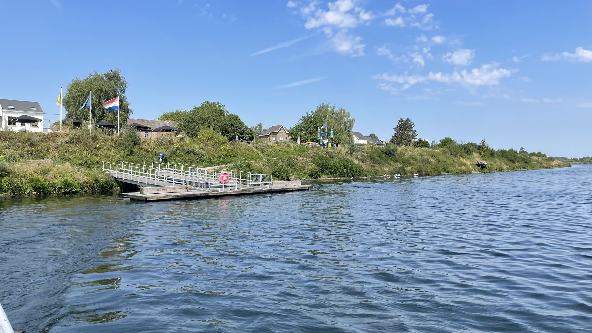
After the hustle and bustle of Coo, the river here resumes its quiet course
4
0

Nice change to cycle through the farmlands with beautiful hilly landscape all around
0
0
Formerly spelled Comblenz, this locality, like its neighbor Comblain-la-Tour, owes its name to the Latin confluentes which means confluence. The German city of Koblenz has the same etymology. "The first castellan of Comblain whose name we know was probably Raoul de Comblain (Rr dulfus de Comblenz) whose wife was called Ide (October 11, 1146)" (source: "Les Echos de Comblain" n°1970.12, Emile Detaille). The inhabitants of Comblain-au-Pont are called Comblennois.
3
0
The stunning scenery makes up for the bumpy road surface in some places.
2
0


start of the awesome link
1
0

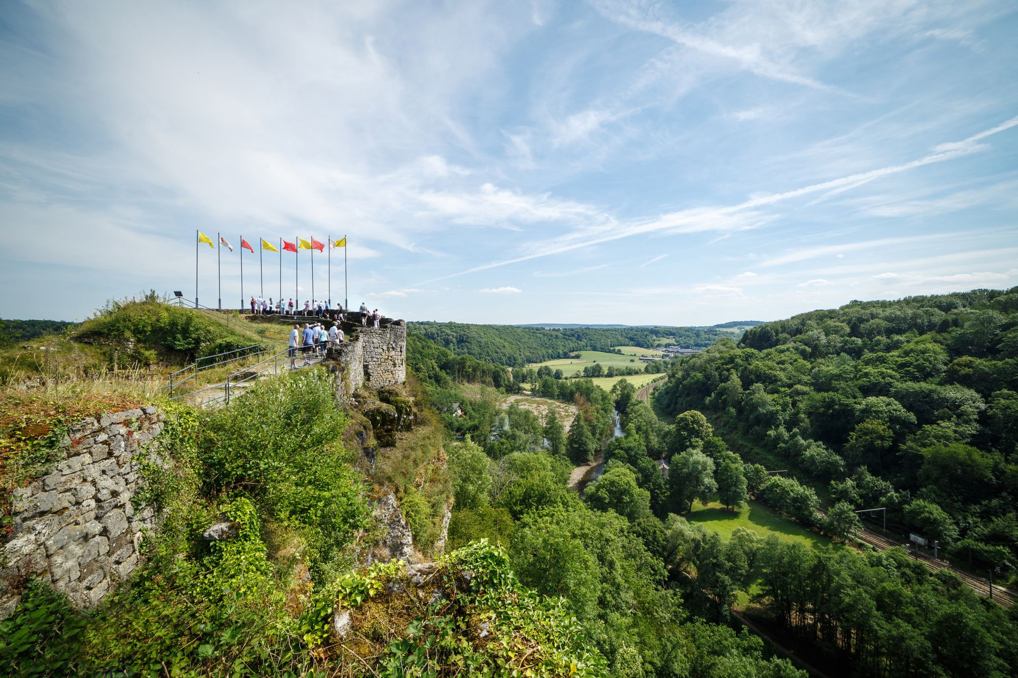
View of a castle from the gate...
9
1

The Roche-aux-Faucons loop is a superb section of the RAVeL (Greenways and Cycle Routes in Wallonia). Eminently verdant, with a magnificent rocky ridge, the panorama is worth a pause, whether you are above or at the foot of the cliff.
0
0
Frequently Asked Questions
How many no-traffic gravel bike trails are available in Comblain-Au-Pont?
Komoot offers a wide selection of no-traffic gravel bike trails around Comblain-Au-Pont, with over 140 routes to explore. These range from moderate to difficult, ensuring options for various skill levels.
What kind of terrain can I expect on no-traffic gravel bike trails around Comblain-Au-Pont?
The no-traffic gravel bike trails in Comblain-Au-Pont traverse diverse landscapes, including the spectacular valleys of the Ourthe and Amblève rivers, rolling hills, and dense forests. You'll encounter a mix of challenging ascents and scenic routes, often featuring unique dolomitic rock formations and varied forest environments.
What do other gravel bikers enjoy most about the no-traffic trails in Comblain-Au-Pont?
The komoot community highly rates the no-traffic gravel biking experience in Comblain-Au-Pont, with an average score of 4.39 stars. Riders frequently praise the region's diverse and picturesque landscapes, the quiet solitude of the trails, and the opportunity to explore natural attractions away from vehicle traffic.
Are there challenging no-traffic gravel routes for experienced riders?
Yes, for experienced riders seeking a challenge, there are 93 difficult no-traffic gravel routes available. An example is the Bridge Over the Amblève – The Hornbeam Avenue of Haut-Maret loop from Poulseur, which covers over 100 km with significant elevation gain, offering a demanding yet rewarding experience.
Are there easier, family-friendly no-traffic gravel routes in the area?
While many routes are moderate to difficult, there are a few easier options suitable for families or those looking for a more relaxed ride. The Comblain-au-Pont – Ourthe Canal loop from Anthisnes is a moderate 29 km route that blends paved and gravel sections along the Ourthe Canal, offering a scenic and less strenuous experience.
What natural attractions can I see along no-traffic gravel bike trails in Comblain-Au-Pont?
Many trails offer access to stunning natural features. You might encounter the unique Ninglinspo Valley, the picturesque Venus' Bath, or the impressive Chaudière Waterfall. The region is also known for its dolomitic rock sculptures and limestone caves, adding to the scenic beauty.
Are there any waterfalls or gorges accessible from these trails?
Absolutely. The region is rich in such features. You can find the Chaudière Waterfall and the beautiful Ninglinspo Valley, a notable gorge, along or near many of the trails. These natural wonders provide excellent spots for a break and offer breathtaking views.
Is parking available near the no-traffic gravel bike trailheads?
Yes, parking is generally available in and around Comblain-Au-Pont, particularly in villages and near popular starting points for outdoor activities. It's advisable to check specific trailhead information or local signage for designated parking areas to ensure convenience and compliance.
Can I access these trails using public transport?
Comblain-Au-Pont has some public transport connections, primarily bus services, which can help you reach the area. However, direct access to specific trailheads via public transport might be limited. Planning your route in advance and checking local bus schedules is recommended.
What is the best season for gravel biking in Comblain-Au-Pont?
The best seasons for gravel biking in Comblain-Au-Pont are typically spring and autumn. During these times, the weather is generally mild, and the natural scenery, with lush greenery in spring or vibrant foliage in autumn, is at its most beautiful. Summer can also be pleasant, though trails might be busier. Winter riding is possible but can be challenging due to colder temperatures and potentially muddy or icy conditions.
Are there any circular no-traffic gravel bike routes?
Many of the no-traffic gravel bike routes in Comblain-Au-Pont are designed as circular loops, allowing you to start and finish at the same point. For example, the Crête du Tige Gravel Path – Ourthe Valley loop from Poulseur is a long, challenging circular route that brings you back to your starting point.
Most popular routes around Comblain-Au-Pont
Most popular attractions around Comblain-Au-Pont

Get inspired with the komoot mobile app


Explore more
Browse the best Gravel rides in other regions.
