The best traffic-free bike rides around Etroubles
4.4
(158)
4,285
riders
7
rides
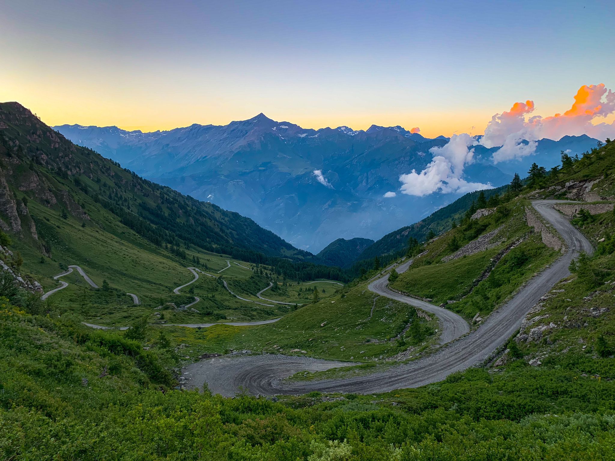
No traffic road cycling routes around Etroubles are set within the alpine context of the Great St. Bernard Valley, offering significant elevation changes and well-paved mountain roads. The region features high mountain passes, deep alpine valleys, and views of surrounding peaks. Cyclists can expect demanding climbs and descents, with routes traversing flowering meadows and offering glimpses of glaciers and rocky peaks.
Best no traffic road cycling routes around Etroubles
- The most popular no traffic road cycling route is Dora Baltea…
Last updated: July 27, 2026
3.0
(1)
12
riders
21.7km
01:42
830m
830m
Moderate road ride. Good fitness required. Mostly well-paved surfaces and easy to ride.
4.6
(5)
14
riders
17.8km
01:15
610m
610m
Moderate road ride. Good fitness required. Mostly well-paved surfaces and easy to ride.

Sign up for free
5.0
(1)
9
riders
33.5km
02:19
870m
870m
Moderate road ride. Good fitness required. Some segments of this route may be unpaved and difficult to ride.
9
riders
10.2km
00:24
40m
40m
Easy road ride. Great for any fitness level. Mostly well-paved surfaces and easy to ride.
5.0
(2)
72
riders
29.9km
01:59
940m
940m
Hard road ride. Very good fitness required. Mostly well-paved surfaces and easy to ride.
Get access to more routes and recommendations from other explorers.
Sign up for free
Already have an account?
Our route recommendations are based on thousands of hikes, rides, and runs completed by other people on komoot.
Start today with a free account
Your next adventure awaits.
Login or Signup


Other adventures around Etroubles

Tips from the Community


Arpuilles is a hamlet in the municipality of Aosta, nestled on the hill north of the city at an altitude of about 1000 meters. The village, along with nearby Signayes, is part of that system of mid-mountain settlements that the Salassi—the Celtic population who inhabited the valley before the Roman conquest—seemed to prefer to the valley floors, and which over the centuries has maintained a rural character distinct from that of the underlying capital. So strong was this sense of identity that in the past the inhabitants of Arpuilles and Signayes even attempted to separate from the municipality of Aosta to form an autonomous municipality. The inhabited core consists of stone and wood houses arranged along the road that climbs from the plain, surrounded by meadows, pastures, and deciduous woods. From Arpuilles, one enjoys an open view of the Aosta basin and the surrounding mountains: Monte Emilius, Becca di Nona, and, in the distance, the peaks of Gran Paradiso. Its sunny position, sheltered from the north winds, has historically made it an area for spring and autumn grazing. Here passes the terminal section of the Ru Neuf, the ancient irrigation canal from 1327 that brought water from Étroubles to the hill of Aosta.
0
0

Ancient connecting road that runs halfway up the Aosta plain, already used in pre-Roman and then Roman times to cross the valley. Today it is a quiet secondary road, ideal for cycling away from traffic, among terraced vineyards, small villages and open views of the valley floor.
1
0
Valley floor access point a few minutes from Aosta, located near the confluence of the Dora Baltea and the Buthier stream. Several ascents to the surrounding slopes start from here.
0
0

Beautiful but challenging hike! A steep climb and descent. Beautiful views of the Aosta Valley. Unfortunately, there are no food or drink options at the top in Bellun. You can refill your water bottles there, though.
0
0


Stop to contemplate the queens of this section of the Cammino Balteo, the mountains, which with their austere presence observe your slow progress.
0
0
The hamlet of Arpuilles is a town that has around 500 residents, is rather well-kept and hosts numerous residential homes with excellent panoramic exposure.
0
0
Frequently Asked Questions
How many no traffic road cycling routes are available around Etroubles?
There are 7 dedicated no traffic road cycling routes around Etroubles, catering to various skill levels. You'll find 1 easy route, 4 moderate routes, and 2 challenging routes to explore.
What kind of terrain can I expect on these no traffic road cycling routes?
The routes around Etroubles are characterized by mountainous terrain, offering significant elevation changes and breathtaking alpine scenery. You can expect demanding climbs and descents on well-paved mountain roads, traversing deep alpine valleys and flowering meadows.
Are there any circular no traffic road cycling routes available?
Yes, several routes are circular. For example, the moderate difficulty Fontana di Pietra loop from Étroubles offers a scenic round trip. Another option is the Ville-sur-Sarre Viewpoint loop from Aosta Viale Europa, which is also a moderate circular route.
What are the best times of year for no traffic road cycling in Etroubles?
The spring and summer months are ideal for road cycling in Etroubles. During this time, the alpine meadows are vibrant, and the weather is generally favorable for tackling the mountain passes. Some higher passes might be inaccessible due to snow in early spring or late autumn.
What landmarks or points of interest can I see along the no traffic road cycling routes?
Many routes offer views of significant landmarks. You can cycle towards iconic mountain passes like the Col du Grand Saint-Bernard, which connects the Aosta Valley with Switzerland. The village of Etroubles itself is an open-air museum with sculptures and frescoes, and the historic Great St Bernard Hospice is a notable stop at the pass.
Are there any challenging no traffic road cycling routes for experienced riders?
Absolutely. For experienced riders seeking a challenge, routes like the Dora Baltea River Bridge – Arch of Augustus (Aosta) loop from Aosta Viale Europa are classified as difficult, featuring significant elevation gains over 80 kilometers. Another demanding option is the Ville-sur-Sarre Viewpoint – Trail to Becca France loop from Aosta.
What do other road cyclists enjoy most about the routes in Etroubles?
The no traffic road cycling routes around Etroubles are highly rated by the komoot community, with an average score of 4.6 stars. Reviewers often praise the stunning alpine landscapes, the challenging yet rewarding climbs, and the peaceful, traffic-free nature of the roads.
Are there any huts or refuges along the routes for a break?
Yes, some routes pass by or offer access to mountain huts. For instance, you might encounter the Refuge du Vélan or the Great St Bernard Hospice, which historically welcomed travelers and pilgrims and can provide a resting point.
Can I find parking easily for these no traffic road cycling routes?
Etroubles and nearby towns like Aosta offer various parking options. It's advisable to check local parking availability, especially during peak season, but you can typically find suitable spots to start your ride.
Are there any moderate no traffic road cycling routes suitable for intermediate riders?
Yes, there are several moderate routes. The Roadbike loop from Saint-Oyen is a good example, offering a balanced challenge with around 870 meters of elevation gain over 33.5 kilometers. The Fontana di Pietra loop from Étroubles is another excellent moderate option.
What cultural attractions can I explore in Etroubles after my ride?
Etroubles is rich in culture. The village itself is an open-air museum, featuring contemporary art installations throughout its streets. You can also explore its fairytale old town with traditional buildings, or visit the Dairy Museum to learn about local cheese production. The village is also crossed by the historic Via Francigena pilgrimage route.
Most popular routes around Etroubles
Most popular attractions around Etroubles

Get inspired with the komoot mobile app


Explore more
Browse the best Road cycling routes in other regions.
