The best MTB trails around Malborn
4.6
(1460)
3,333
riders
16
rides
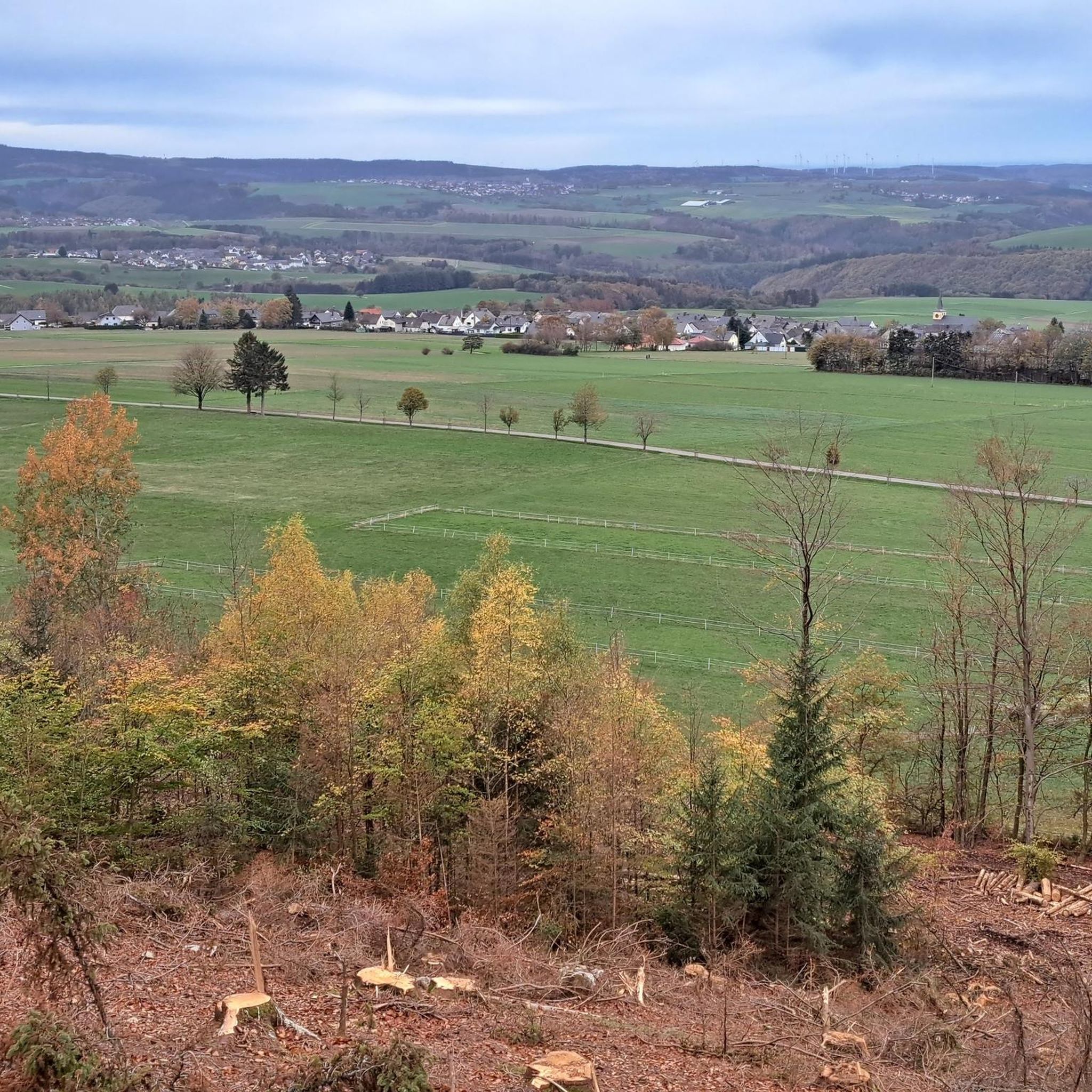
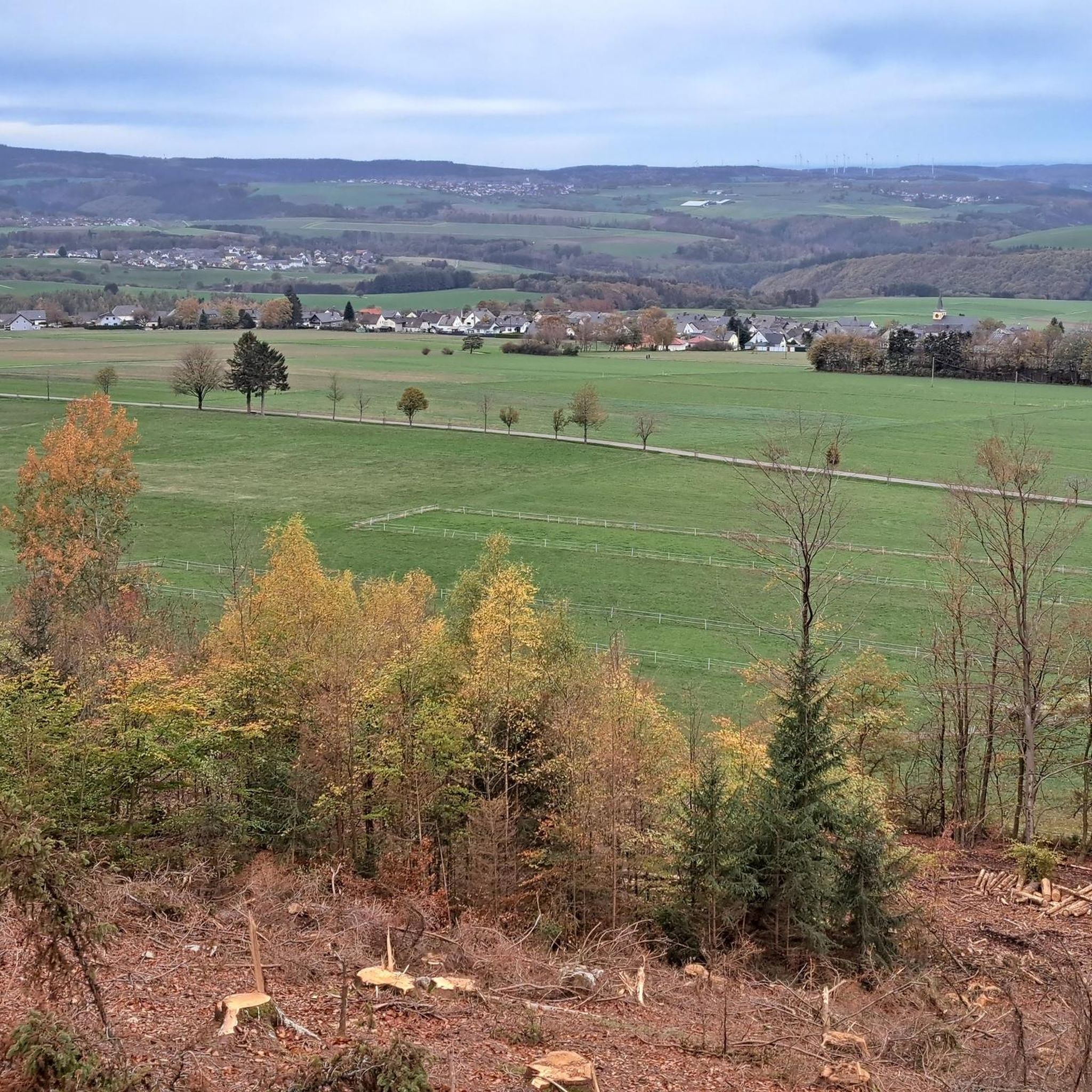
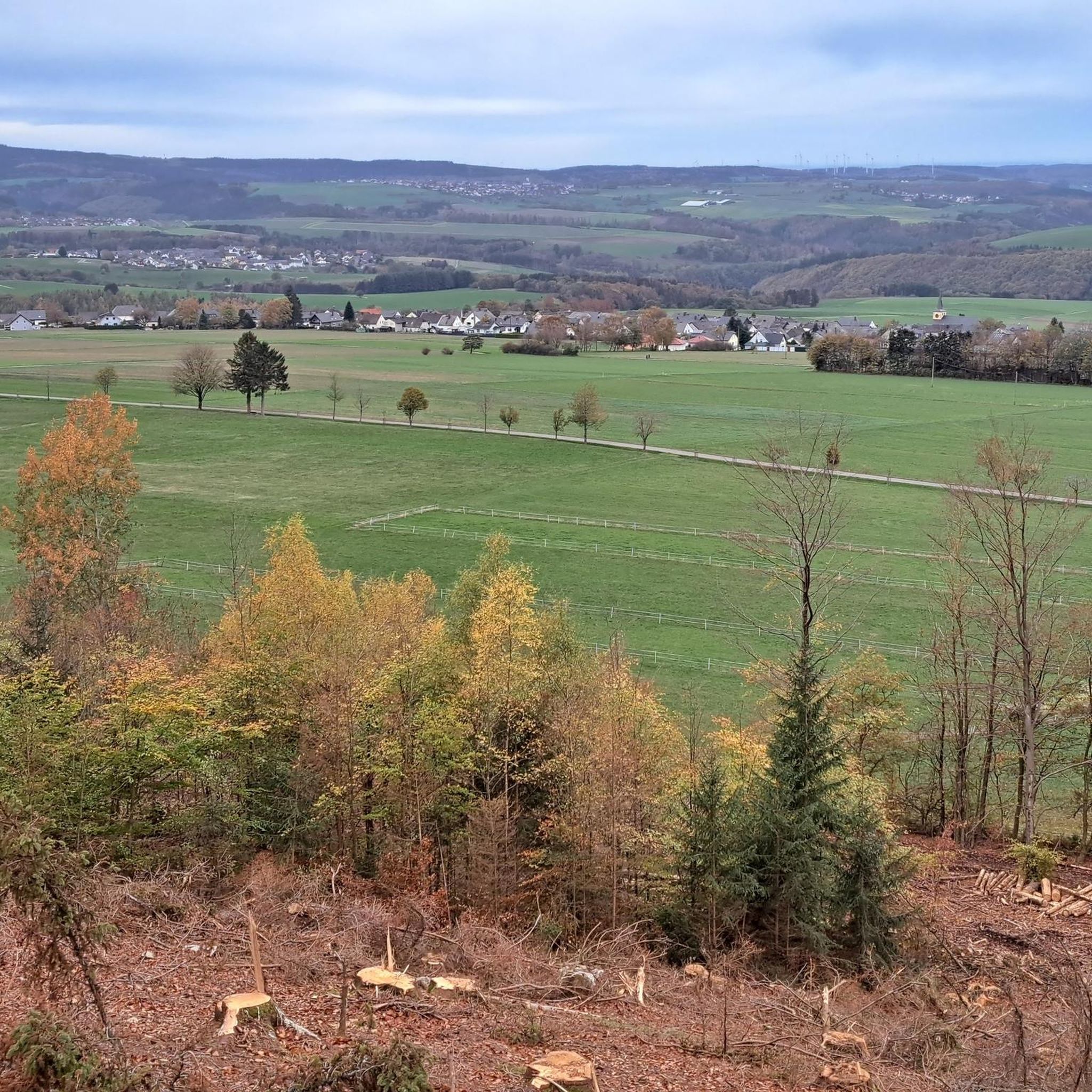
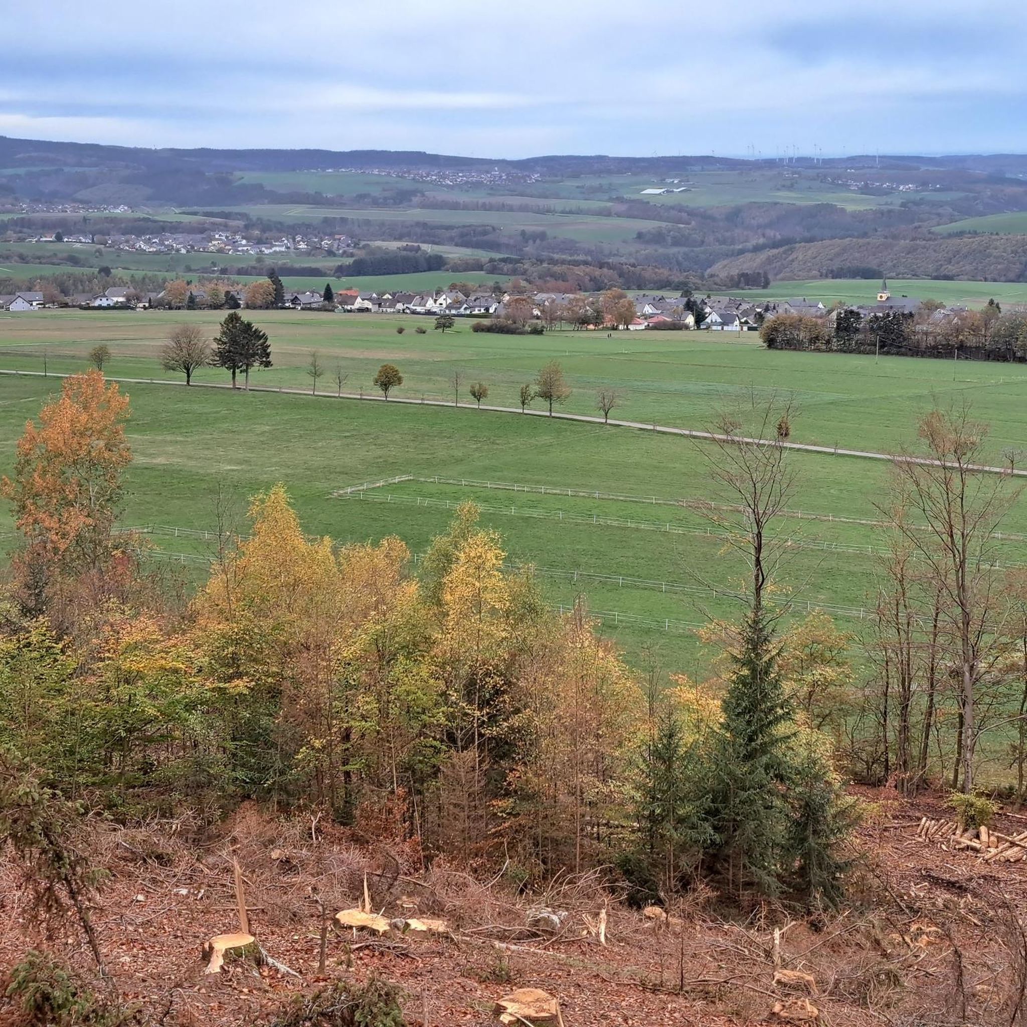
Mountain biking around Malborn offers diverse terrain with rolling hills and dense forests, providing varied experiences for riders. The region is characterized by its varied topography and proximity to the Erbeskopf, the highest mountain in Rhineland-Palatinate. Mountain bike trails often traverse shaded woodlands and lead to viewpoints over green valleys, forming part of the Hunsrück-Hochwald National Park area.
Best mountain bike trails around Malborn
- The most popular mountain bike trail is Hermeskeil Aviation Exhibition – Hochwaldbahn locomotive "Wiesel" loop from Thiergarten, a 24.9 miles (40.0 km) trail that takes 2 hours 30 minutes to complete. This route explores the local landscape with moderate climbs.
- Another top favourite among local mountain bikers is Erbeskopf Viewpoint – Windklang Sculpture, Erbeskopf loop from Thiergarten, a moderate 15.3 miles (24.6 km) path. This trail offers views of the Erbeskopf region and its natural features.
- Local mountain bikers also love the Hermeskeil Aviation Exhibition – View of the Ruwer loop from Malborn, a 65.7 miles (105.7 km) trail leading through varied terrain, often completed in about 6 hours 42 minutes.
- Mountain biking around Malborn is defined by rolling hills, dense woodlands, and the Erbeskopf region. The network offers options for different ability levels, from leisurely rides to challenging descents.
- The routes in Malborn are highly rated by the komoot community with an average score of 4.6 stars from over 1,400 reviews. More than 4,000 mountain bikers have used komoot to explore Malborn's varied terrain.
Last updated: September 30, 2026
4.8
(4)
23
riders
108km
06:53
1,040m
1,040m
Hard mountain bike ride. Very good fitness required. Advanced riding skills necessary.
4.9
(20)
17
riders
35.1km
02:45
500m
500m
Moderate mountain bike ride. Good fitness required. Suitable for all skill levels.

4.0
(33)
45
riders
40.9km
03:28
590m
590m
Moderate mountain bike ride. Good fitness required. Suitable for all skill levels.
4.0
(2)
7
riders
48.9km
04:11
910m
910m
Hard mountain bike ride. Very good fitness required. Advanced riding skills necessary. Some portions of the route may require you to push your bike.
4.0
(2)
4
riders
23.0km
01:53
420m
420m
Hard mountain bike ride. Good fitness required. Advanced riding skills necessary. Some portions of the route may require you to push your bike.
Get access to more routes and recommendations from other explorers.
Already have an account?
Our route recommendations are based on thousands of hikes, rides, and runs completed by other people on komoot.
Start today with a free account
Your next adventure awaits.
Tips from the Community

Beautiful, it's a small highlight
0
0
Great, really super use of the slope
0
0
Great that something like this was built and is being further developed :-)
0
0

Well-maintained hut with a breathtaking view.
0
0

beautiful view of the Moselle loop
1
0


Frequently Asked Questions
How many mountain bike trails are there around Malborn?
There are over 15 mountain bike trails around Malborn listed on komoot, offering a variety of experiences for riders of all levels. These include 4 easy, 5 moderate, and 7 difficult routes.
What kind of terrain can I expect on mountain bike trails in Malborn?
The terrain around Malborn is characterized by rolling hills and dense forests, providing a diverse landscape for mountain biking. Trails often traverse shaded woodlands, run alongside small streams, and lead to scenic viewpoints offering spectacular vistas over green valleys. The region is also close to the Erbeskopf, the highest mountain in Rhineland-Palatinate, which adds to the varied topography.
What is the best time of year for mountain biking in Malborn?
Spring and autumn are generally considered the best seasons for mountain biking in Malborn. The weather during these times is pleasant, and temperatures are moderate, making them ideal for extended tours through the region's forests and hills.
Are there any family-friendly mountain bike trails in Malborn?
Yes, Malborn offers several easy mountain bike trails suitable for families. These routes typically feature less challenging terrain and elevation, allowing for a more relaxed riding experience. While specific family-friendly routes are not detailed in the provided data, you can find 4 easy trails on komoot that are generally suitable for a family outing.
Are there any challenging mountain bike trails for experienced riders?
Absolutely. For experienced riders seeking a challenge, Malborn offers 7 difficult mountain bike routes. One such demanding trail is the Hermeskeil Aviation Exhibition – View of the Ruwer loop from Malborn, which covers 105.7 km with over 1000 meters of elevation gain. Another challenging option is the Dhronecken Castle – Ruwer Spring loop from Malborn, a 48.6 km route with over 900 meters of ascent.
What viewpoints or natural features can I see along the mountain bike trails?
Many mountain bike routes in Malborn lead to breathtaking viewpoints. The Erbeskopf Viewpoint – Windklang Sculpture, Erbeskopf loop from Thiergarten offers views of the Erbeskopf region and its natural features, including the 'Windklang' viewing platform. The Erbeskopf itself, as the 'Roof of Rhineland-Palatinate', provides expansive views over the Hunsrück landscape. You can also explore highlights like the Erbeskopf Viewpoint.
Are there any circular mountain bike routes in Malborn?
Yes, many of the mountain bike trails around Malborn are designed as circular routes, allowing you to start and end at the same point. Examples include the Hermeskeil Aviation Exhibition – Hochwaldbahn locomotive "Wiesel" loop from Thiergarten and the View of Beuren from Malborn – View of Malborn loop from Malborn.
What do other mountain bikers enjoy most about mountain biking in Malborn?
The mountain bike trails around Malborn are highly rated by the komoot community, with an average score of 4.6 stars from over 1,400 reviews. Riders often praise the diverse terrain, the scenic routes through dense forests and along streams, and the challenging ascents and descents that cater to various skill levels.
Are there any bike parks near Malborn for more technical riding?
Yes, for those seeking an extra thrill and more technical riding, Malborn features a dedicated bike park. This park is equipped with demanding trails, jumps, and obstacles, allowing riders to refine their techniques. Highlights within the bike park include the Blue Viper Trail, Trailpark Erbeskopf and sections like It gets rough here, S2 to S3.
Can I find lakes or water features along the mountain bike trails?
While the immediate trails focus on forests and hills, the broader region around Malborn does feature several lakes. You can find highlights such as the Nonnweiler Reservoir and the Former Beaver Pond in the Wadrill Valley, which could be incorporated into longer rides or visited separately.
Is there public transport available to Malborn for mountain bikers?
While specific public transport details for mountain bikers are not provided, Malborn is accessible. For detailed information on public transport options to and from Malborn, it's advisable to check local transport schedules or regional tourism websites.
Are there any permits required for mountain biking in the Malborn area?
Generally, no specific permits are required for mountain biking on designated trails in the Malborn area. However, if you plan to venture into the Hunsrück-Hochwald National Park, it's always good practice to be aware of any specific regulations or guided tour requirements, especially for sensitive natural areas. For general information about the region, you can visit rlp-tourismus.com.
Most popular routes around Malborn
Most popular attractions around Malborn

Get inspired with the komoot mobile app


Explore more
Browse the best MTB trails in other regions.
