The best city hikes and walks in Sources Natural Park
4.5
(5107)
25,273
hikers
4
hikes
Urban hiking trails in Sources Natural Park offer opportunities to explore the region's diverse topography, which includes high-altitude wetlands, alpine grasslands, and river systems. The park is situated on a high-altitude plateau, with elevations ranging from 3,500 to 4,800 meters, featuring a distinctive continental climate. It is recognized as the headwaters for major rivers, contributing to a landscape rich in water features and varied terrain. The area provides a mix of natural and cultural elements for hikers to discover.
Best…
Last updated: May 18, 2026
1
hikers
4.92km
01:21
80m
80m
Easy hike. Great for any fitness level. Easily-accessible paths. Suitable for all skill levels.
2.0
(1)
5
hikers
Easy hike. Great for any fitness level. Easily-accessible paths. Suitable for all skill levels.

Sign up for free
4.0
(2)
4
hikers
4.81km
01:16
40m
40m
Easy hike. Great for any fitness level. Easily-accessible paths. Suitable for all skill levels.
4
hikers
4.07km
01:04
30m
30m
Easy hike. Great for any fitness level. Easily-accessible paths. Suitable for all skill levels.
7
hikers
4.58km
01:11
20m
20m
Easy hike. Great for any fitness level. Easily-accessible paths. Suitable for all skill levels.
Our route recommendations are based on thousands of hikes, rides, and runs completed by other people on komoot.
Start today with a free account
Your next adventure awaits.
Login or Signup
Popular around Sources Natural Park

From Flanders to the Ardennes — GR 5 in Belgium
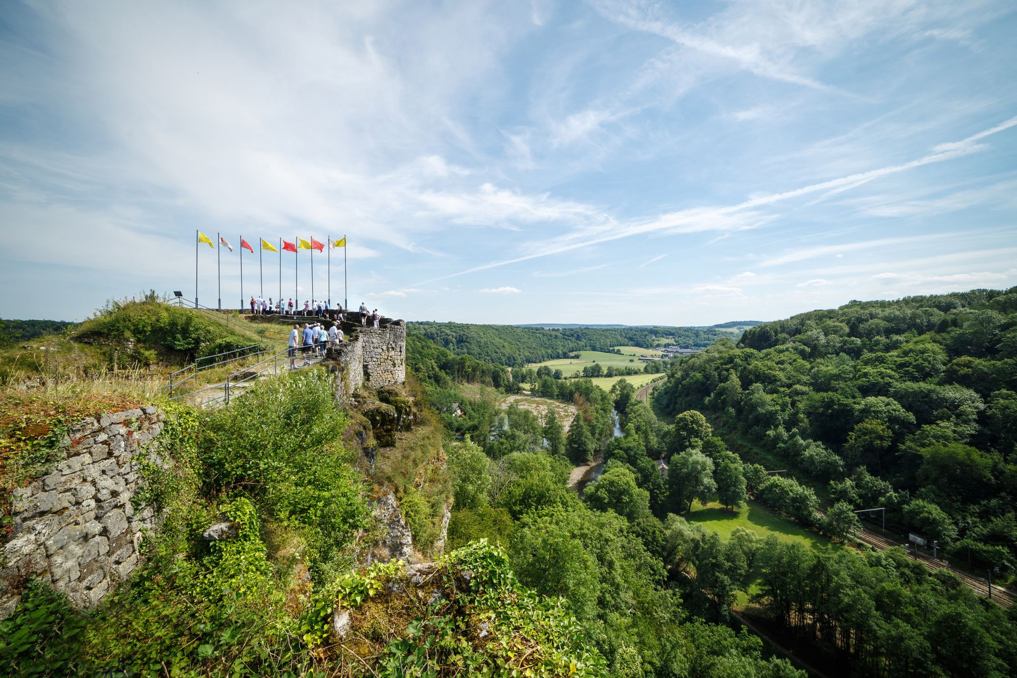
The wild rivers Ourthe, Vesdre and Amblève in the Belgian Ardennes
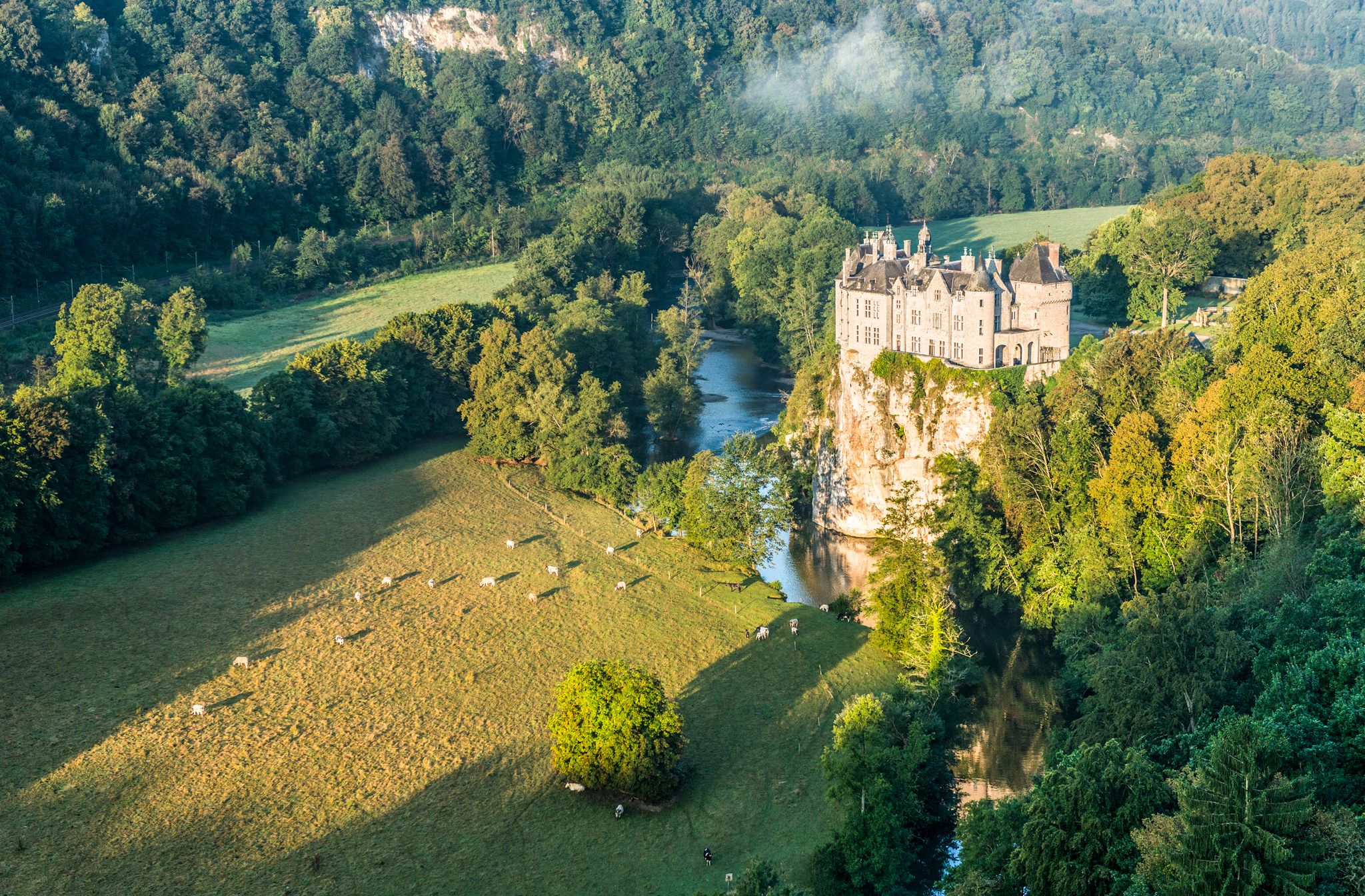
Pure nature on the hiking trails in the Belgian Ardennes
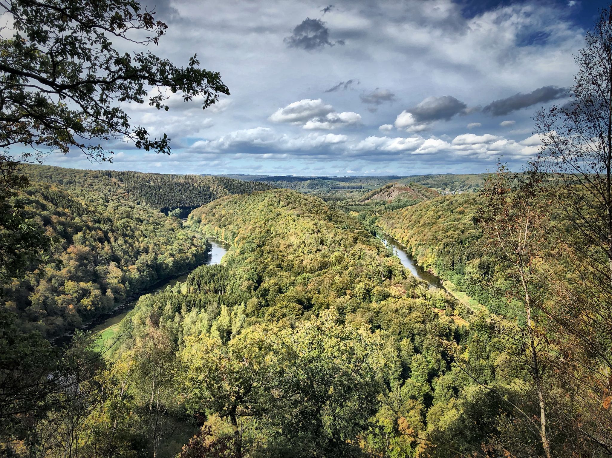
Running an ultra in Belgium – long trails in a small country
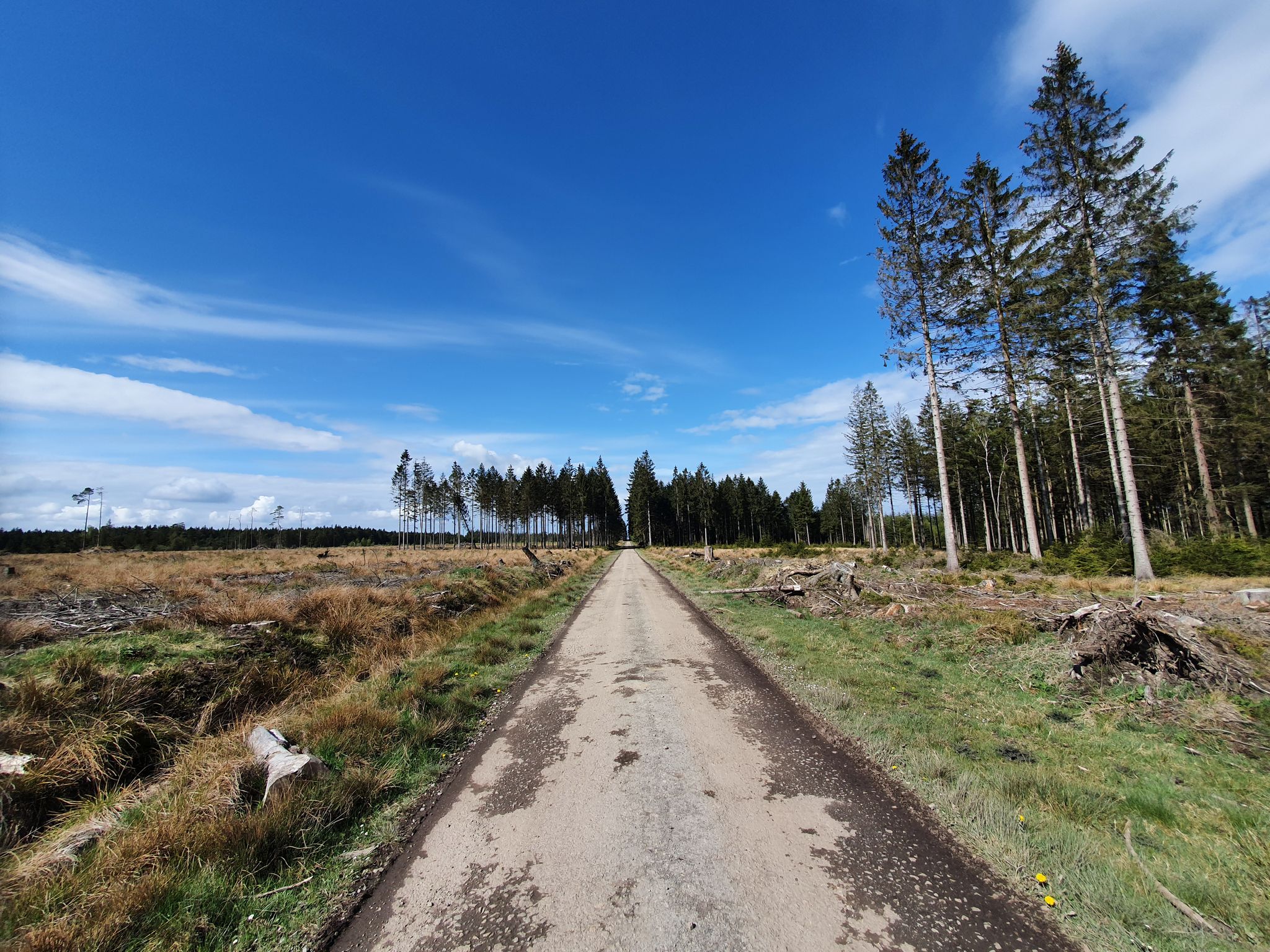
GR 2 from Verviers to Orval — The beautiful Ardennes in gravel
Belgium’s hardest ultra cycling race – the Ardennes Monster
The Conquest of the Ardennes — a bike adventure to remember
Op twee wielen door Wallonië en de Ardennen – Geschiedenis en natuur
Other adventures in Sources Natural Park


Tips from the Community

Albert Square is the central square of Malmedy. It is surrounded by cafés, bars, and restaurants. At its center stands an obelisk, built of limestone in the 18th century and engraved with the coat of arms of the penultimate prince, Abbot Jacques de Hublin. This obelisk has a fountain at its feet: water tanks fed by lion heads.
3
0
Albert Square is the central square of Malmedy. It is surrounded by cafés, bars, and restaurants. At its center stands an obelisk, built of limestone in the 18th century and engraved with the coat of arms of the penultimate prince, Abbot Jacques de Hublin. This obelisk has a fountain at its feet: water tanks fed by lion heads.
2
0
Jean-Hubert Cavens, a patron and philanthropist, was a merchant and industrialist. He was a wealthy member of one of the great patrician families of the time, but was also aware of the poverty of many of his citizens. He married Marie-Elisabeth-Thérèse Cavens on the basis of an exemption from Rome and Cologne for inbreeding in the second and third degrees. This childless couple became parents of the unfortunate little ones, who were orphaned. Both aware of the misery that prevailed at the beginning of the Prussian regime, Mrs. Cavens distributed meals free of charge. He was a large landowner. He also owned numerous industries (tanneries, collieries, etc.), flocks of sheep, and a calf-breeding operation. Creation of the orphanage She promised a dying young mother that they would care for her child after her death. The couple decided to establish an orphanage at the "House of the Father," Piazza de Rome, part of the Malmedy Charity Office. They built and occupied the orphanage. Jean Hubert Cavens did not live to see his work completed. He died on June 12, 1833. The inauguration took place on June 24, 1835.
2
0

There are many restaurants, cafes and bakeries
2
0

High-altitude hilltop village with a view of the valley with the water treatment plant and a first glimpse of the E42 bridge over the valley.
0
0
Protruding rock with beautiful views over the Warchedal.
0
0

Frequently Asked Questions
How many urban hiking trails are featured in Sources Natural Park?
This guide highlights 5 easy urban hiking trails in Sources Natural Park, perfect for exploring the cities and towns within the region. These routes offer a great way to experience the local culture and scenery.
What kind of urban hiking trails can I expect in Sources Natural Park?
The urban hiking trails in Sources Natural Park are generally easy, with distances ranging from approximately 3.8 km to 4.9 km. They often feature loops through towns like Verviers and Malmedy, allowing you to discover local landmarks and urban landscapes. An example is the Grand Theatre of Verviers – Pont-Aux-Lions loop from Verviers.
Are there any circular urban hiking routes available?
Yes, all the urban hiking routes featured in this guide are circular, making them convenient for starting and ending at the same point. For instance, you can enjoy the Pont-Aux-Lions – Town Hall loop from Verviers or the Rocher de Falize – View of the Valley and Forest loop from Malmedy.
What can I see along the urban hiking trails in Sources Natural Park?
While exploring the urban trails, you'll encounter various points of interest within the towns. The wider Sources Natural Park region is known for its diverse topography, including high-altitude plateaus, rivers, and alpine grasslands. You might also find historical elements and cultural sites. For specific attractions, consider exploring nearby castles like Château de Froidcour or enjoying views like the View of Froidcourt Castle.
What do other hikers enjoy most about hiking in Sources Natural Park?
The area is highly rated by the komoot community, with an average score of 4.55 stars from over 4,700 ratings. Reviewers often praise the diverse landscapes, from high-altitude plateaus to river sources, and the opportunity to experience both natural beauty and cultural elements within the region.
Are the urban trails suitable for families?
Given that all featured urban hikes are rated as easy and are relatively short (under 5 km), they are generally suitable for families looking for a pleasant walk. The urban setting also provides easy access to amenities. The Town Hall – Ortmans-Hauzeur Fountain loop from Verviers is a good example of an accessible urban route.
Can I bring my dog on the urban hiking trails?
Many urban trails in Sources Natural Park are dog-friendly, but it's always best to check local regulations and ensure your dog is kept on a leash, especially in populated areas or near wildlife. The easy nature of these routes makes them generally suitable for walks with pets.
What is the best season for urban hikes in Sources Natural Park?
The high-altitude plateau ecology of Sources Natural Park means weather can vary. While urban hikes are generally accessible year-round, spring and autumn offer pleasant temperatures and beautiful scenery. Summer is also popular, but be prepared for potential heat. Winter can be cold, but urban paths are often cleared, making them viable for a crisp walk. Always check local weather forecasts before heading out.
Are there any hidden gems or unique spots to discover on urban hikes?
While the urban trails focus on town exploration, the broader Sources Natural Park is rich in unique features. It's known as the "Water Tower of China" and the source of three major rivers. Keep an eye out for local architecture, historical markers, and the subtle integration of nature within the urban environment. The Les Tailles Walking Path – Pont-Aux-Lions loop from Verviers might reveal some local charm.
What are the typical weather conditions for urban walks in Sources Natural Park?
Sources Natural Park is situated on the Qinghai-Tibet Plateau, meaning it has a distinctive plateau continental climate. Average elevations are between 3,500 and 4,800 meters. While urban areas might be slightly less extreme, expect significant temperature variations between day and night, and be prepared for cooler temperatures even in summer. Always carry layers and check the forecast for the specific town you plan to visit.
Where can I find more information about the Three-River-Source National Park?
For more in-depth information about the Three-River-Source National Park, its critical ecological role, and its status as a biodiversity hotspot, you can visit the Yunjoy Nature website. This resource provides details on its unique high-altitude plateau ecology and its significance as the headwaters of the Yellow, Yangtze, and Lancang Rivers.
Most popular routes in Sources Natural Park
Most popular attractions in Sources Natural Park

Get inspired with the komoot mobile app


Explore more
Browse the best Hikes in other regions.
