The best traffic-free bike rides around Forêt Départementale de Tamié
4.7
(438)
18,058
riders
6
rides
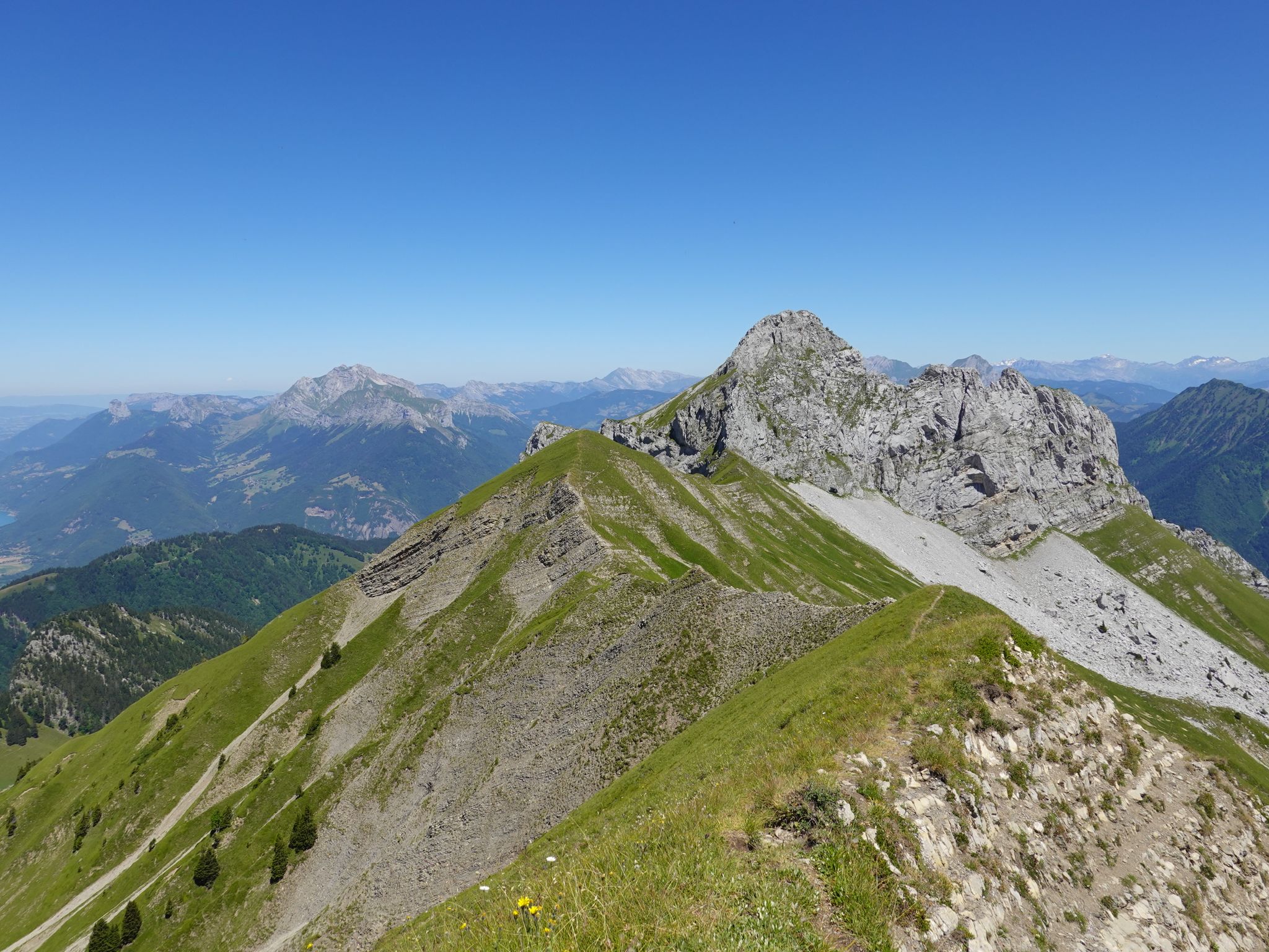
No traffic road cycling routes around Forêt Départementale de Tamié traverse a landscape characterized by dense forests, pastoral openings, and varied mountain terrain within the Bauges Massif. The region features numerous quiet roads suitable for road cycling, offering a mix of challenging ascents and rolling countryside. Cyclists encounter well-paved surfaces and diverse elevation profiles, from gradual climbs to more significant passes. The area is part of a protected natural park, providing a scenic backdrop for cycling activities.
Best no traffic…
Last updated: May 18, 2026
5.0
(2)
44
riders
21.7km
01:10
410m
410m
Moderate road ride. Good fitness required. Mostly well-paved surfaces and easy to ride.
5.0
(2)
38
riders
26.2km
01:44
850m
850m
Moderate road ride. Good fitness required. Mostly well-paved surfaces and easy to ride.

Sign up for free
5.0
(1)
16
riders
23.5km
01:22
560m
560m
Moderate road ride. Good fitness required. Mostly well-paved surfaces and easy to ride.
3.5
(2)
69
riders
28.0km
01:58
960m
960m
Hard road ride. Very good fitness required. Mostly well-paved surfaces and easy to ride.
5.0
(2)
41
riders
40.9km
02:38
1,160m
1,160m
Hard road ride. Very good fitness required. Mostly well-paved surfaces and easy to ride.
Our route recommendations are based on thousands of hikes, rides, and runs completed by other people on komoot.
Start today with a free account
Your next adventure awaits.
Login or Signup


Other adventures around Forêt Départementale de Tamié

Tips from the Community

To the cycle tourist who invented his own pass.
0
0


The descent to Queige is gravelly+++, a really not great surface but compensated by a superb view of Mont Blanc
1
0

Pass on a quiet road, very few cars. Not a great surface. The average slope is 7.6% with sections at 13%. No clear view at the top but a small stele dedicated to the creator of this pass. To do if you want to do some elevation gain.
0
0

The Forclaz road climbs to the eponymous pass. The climb is regular and reveals beautiful views of the Ugine valley. From Isle, the climb is 6.8 kilometers long, for an elevation gain of 481 meters with an average slope of 7.1%.
0
0

This mid-mountain pass is located at an altitude of 947 meters in the Aravis massif. Its ascent from Marlens involves fairly steep gradients, while its approach from Serraval is more gentle.
3
1
This locality, born from the merger of Faverges and Seythenex, is located between Lake Annecy and the Bauges massif. Nestled in the valley of the same name, it is endowed with a historical heritage, museums, sporting activities and varied landscapes.
0
0

Although strictly speaking it's not a true mountain pass, the winding roads leading to the highest point offer fantastic, tree-lined driving conditions.
0
0
Frequently Asked Questions
How many no-traffic road cycling routes are available in Forêt Départementale de Tamié?
There are several dedicated no-traffic road cycling routes in the Forêt Départementale de Tamié area, with komoot featuring 6 such routes. These routes are designed to offer a peaceful cycling experience away from vehicular traffic.
What kind of terrain can I expect on these no-traffic road cycling routes?
The terrain varies, offering a mix of gradual climbs, rolling countryside with gentle bends, and some technical descents. You'll find well-paved surfaces throughout, making for generally smooth riding. The region is known for its diverse landscapes, transitioning from dense forests to expansive pastoral openings.
What do other cyclists enjoy most about road cycling in Forêt Départementale de Tamié?
The area is highly rated by the komoot community, with an average score of 4.67 stars. Reviewers often praise the quiet roads, stunning panoramic views of the Bauges and Aravis mountains, and the unique mid-mountain environment that combines beautiful forests with large pastoral openings.
Are there challenging no-traffic road cycling routes for experienced riders?
Yes, for experienced riders seeking a challenge, there are difficult routes available. For example, the Conflans – Cyclists' Pass loop from Albertville offers a significant ascent of over 960 meters over nearly 28 km. Another demanding option is the Route du col de la Forclaz – Val d'Arly cycle route loop from Albertville, which covers over 40 km with more than 1160 meters of elevation gain.
Are there easier, beginner-friendly no-traffic road cycling options?
While many routes involve some climbing, the region offers options that are more moderate in difficulty. These routes provide a good balance of distance and elevation, suitable for those looking for a less strenuous ride while still enjoying the scenery. The area is generally well-suited for various skill levels, with some routes featuring gentle climbs.
What scenic views can I expect along the no-traffic road cycling routes?
You can expect breathtaking panoramic views of the Bauges and Aravis mountains, including majestic peaks like Mont Charvin. Many routes traverse beautiful forests and open pastoral areas, offering a dynamic backdrop. From elevated points, you might also catch glimpses of Lake Annecy and the wider Alps.
Are there any historical or cultural landmarks to visit near the routes?
Absolutely. The region is rich in history and culture. A significant landmark is the Abbaye Notre-Dame de Tamié, a 12th-century Cistercian monastery known for its famous local cheese. Another notable site is the Fort de Tamié, a historical military structure offering walking trails, an adventure park, and stunning views of the surrounding valleys.
Are there any circular no-traffic road cycling routes?
Yes, many of the no-traffic road cycling routes in the Forêt Départementale de Tamié are designed as loops, allowing you to start and end at the same point. Examples include the Col du Vorger – Val d'Arly cycle route loop from Gilly-sur-Isère and the Col du Vorger loop from Mercury, both offering moderate challenges.
What are some examples of moderate no-traffic road cycling routes?
For a moderate challenge, consider the Faverges-Seythenex – Épine Pass loop from Faverges-Seythenex, which covers over 22 km with about 530 meters of elevation gain. Another good option is the Col du Vorger – Val d'Arly cycle route loop from Gilly-sur-Isère, a 21.7 km route with over 400 meters of climbing.
When is the best time of year to enjoy no-traffic road cycling in Forêt Départementale de Tamié?
The best time to cycle in Forêt Départementale de Tamié is typically from spring through autumn. During these seasons, the weather is generally favorable, and the natural beauty of the forests and pastoral openings is at its peak. Winter cycling, especially around higher passes like Col de Tamié, might be challenging due to snow and ice.
Is parking available near the no-traffic road cycling routes?
Yes, parking is generally available in the towns and villages surrounding the Forêt Départementale de Tamié, such as Albertville, Gilly-sur-Isère, or Faverges-Seythenex, which serve as starting points for many routes. It's advisable to check specific starting points for detailed parking information.
Are the no-traffic road cycling routes suitable for families?
While the guide focuses on road cycling, the 'no traffic' aspect makes certain routes more appealing for families with older children who are comfortable with longer distances and some elevation changes. The quiet roads and scenic environment provide a safer and more enjoyable experience compared to routes with heavy vehicle traffic. Always check the route difficulty and length to ensure it matches your family's capabilities.
Most popular routes around Forêt Départementale de Tamié

Get inspired with the komoot mobile app


Explore more
Browse the best Road cycling routes in other regions.
