The best walks and hikes around Forêt Départementale de Tamié
4.4
(651)
7,675
hikers
231
hikes
Hiking around Forêt Départementale de Tamié offers diverse landscapes within the Massif des Bauges Regional Nature Park, situated at an altitude of 900 meters. The terrain features lush forests, valleys, and ridges, providing varied hiking experiences. Hikers can expect trails winding through woods, with significant elevation changes leading to panoramic viewpoints. The area is characterized by its natural habitats and geological history, making it a destination for outdoor activities.
Best hiking trails around Forêt Départementale de Tamié
- The most popular…
Last updated: October 2, 2026
5.0
(1)
13
hikers
16.3km
07:18
1,340m
1,340m
Hard hike. Very good fitness required. Sure-footedness, sturdy shoes and alpine experience required.
5.0
(1)
45
hikers
14.6km
06:45
1,270m
1,270m
Hard hike. Very good fitness required. Mostly accessible paths. Sure-footedness required.

6
hikers
Hard hike. Very good fitness required. Easily-accessible paths. Suitable for all skill levels.
3
hikers
Moderate hike. Good fitness required. Easily-accessible paths. Suitable for all skill levels.
4.0
(2)
25
hikers
16.3km
06:39
1,200m
1,200m
Hard hike. Very good fitness required. Mostly accessible paths. Sure-footedness required.
Get access to more routes and recommendations from other explorers.
Already have an account?
Our route recommendations are based on thousands of hikes, rides, and runs completed by other people on komoot.
Start today with a free account
Your next adventure awaits.
Popular around Forêt Départementale de Tamié
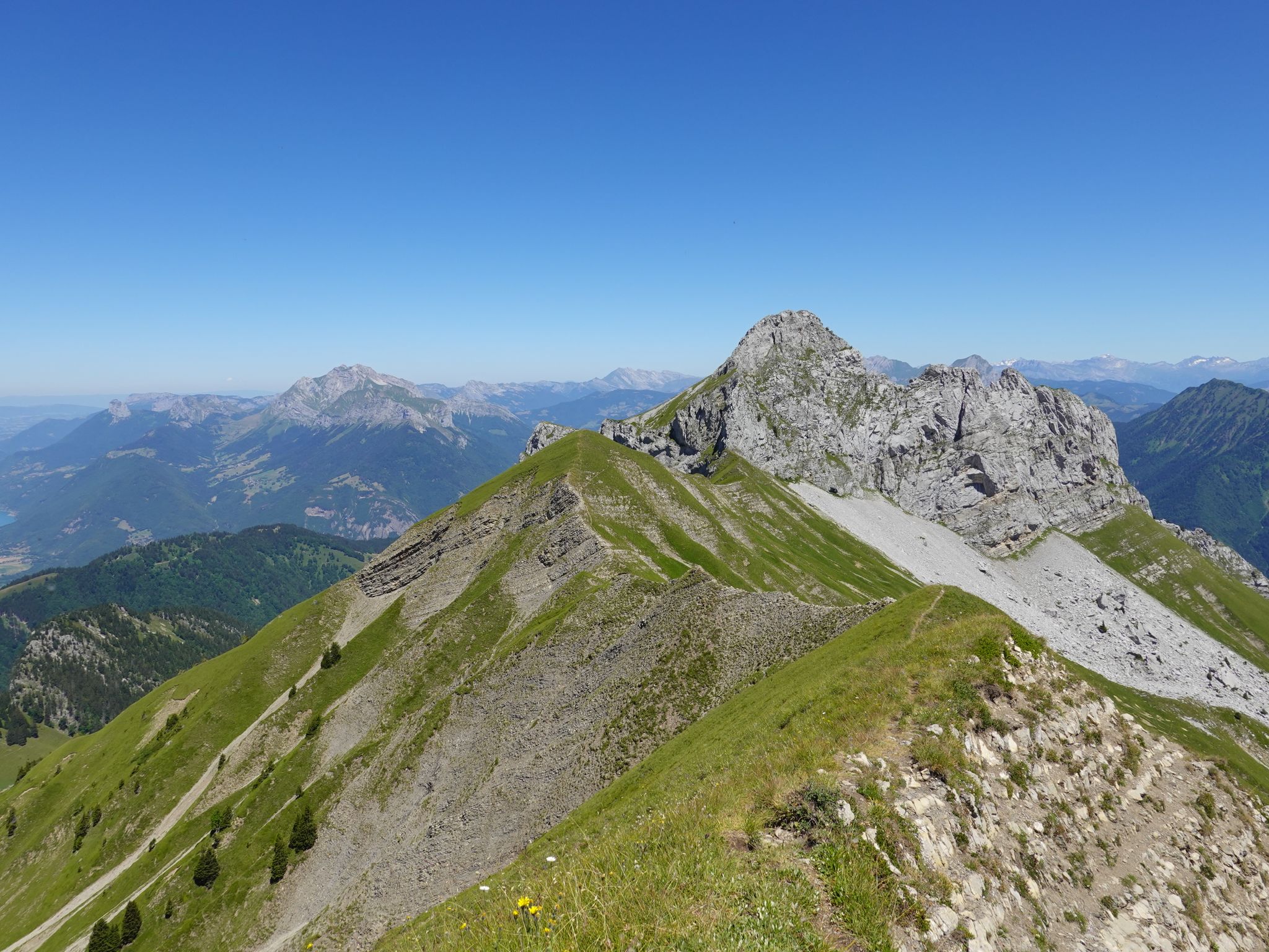
Running the peaks — reach the summits of the Bauges 2000ers
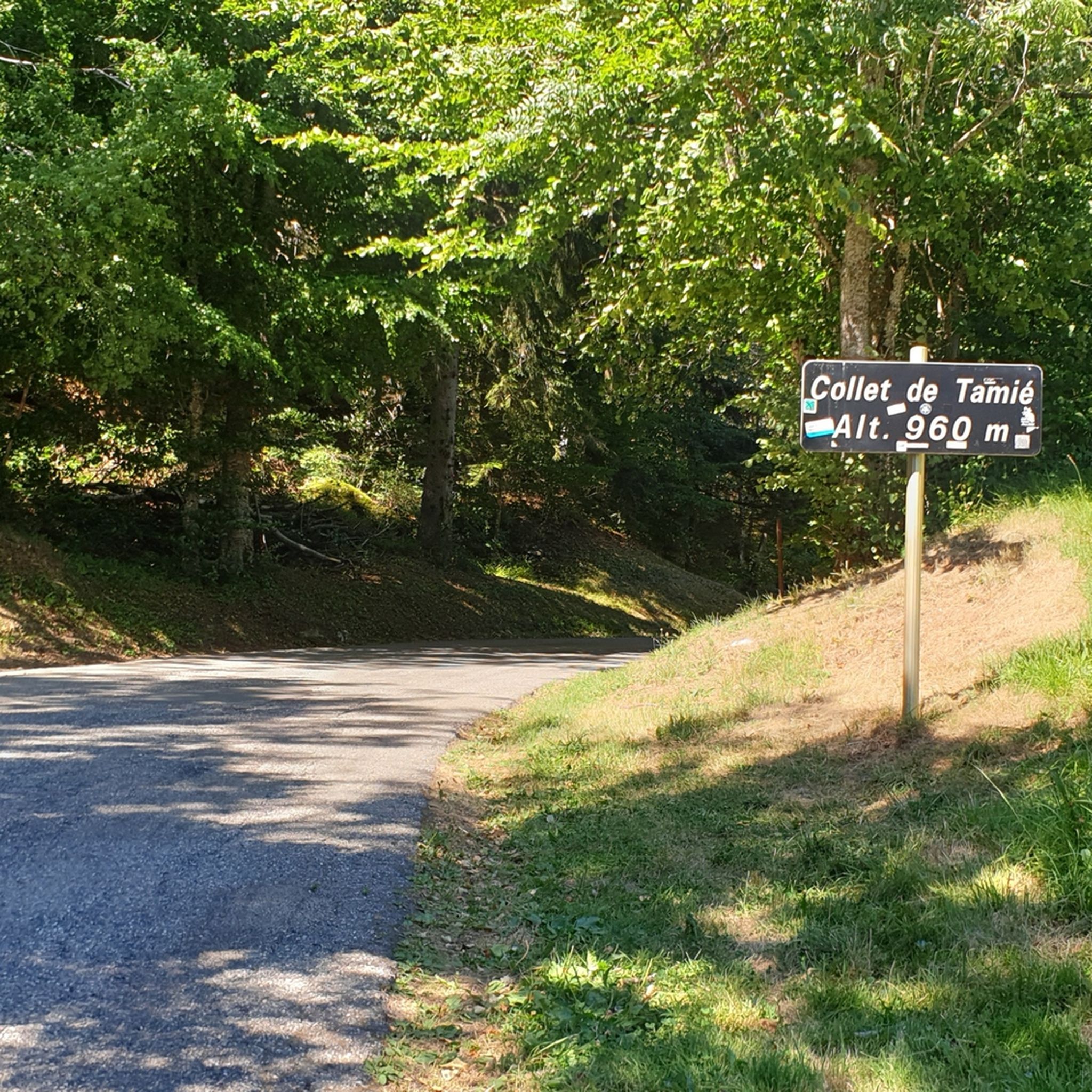
Road Cycling Routes around Forêt Départementale de Tamié
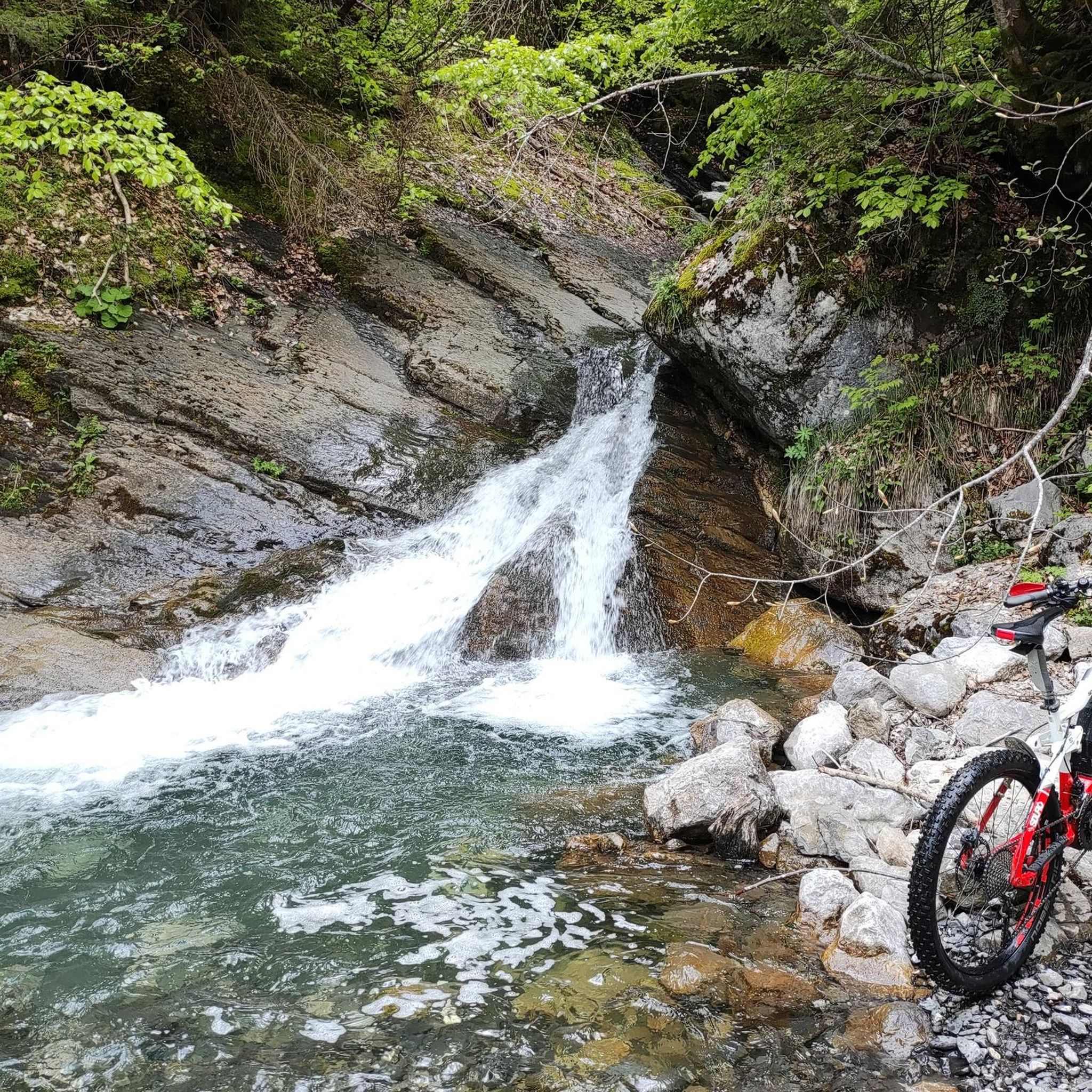
MTB Trails around Forêt Départementale de Tamié
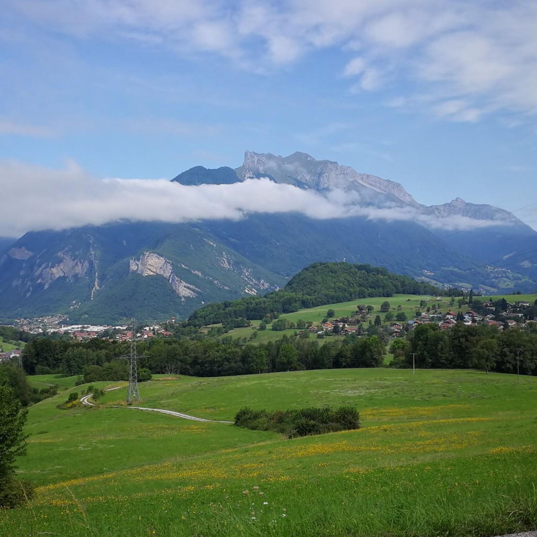
Cycling around Forêt Départementale de Tamié
Running Trails around Forêt Départementale de Tamié

Mountain Hikes around Forêt Départementale de Tamié

Gravel biking around Forêt Départementale de Tamié
Other adventures around Forêt Départementale de Tamié

Tips from the Community

Opposite the abbey church is a drinking water fountain.
0
0

Super comfortable and possibility to meet the shepherd
0
0
Pleasant and pretty passage
0
1
Magnificent tapered ridge with stunning views
0
0
Wild valley to the summit from the top of the resort
0
0

In the Tamié valley, at an altitude of 900 meters, this Cistercian monastery is still active. Founded in the 12th century by monks, the abbey produces a famous cheese, Tamié.
1
0

Technical driving on hiking trails lined with roots and trees. Expect loose dirt, steep hairpin turns, and some fairly demanding downhill terrain. The trail is also home to some friendly wooden figures. Keep an eye on them!
1
0

the water is not directly accessible in the chalet but a river below allows you to refuel! Very nice well maintained refuge! (info from 20/05/2023)
0
0
Frequently Asked Questions
How many hiking trails are available in Forêt Départementale de Tamié?
Forêt Départementale de Tamié offers a wide variety of hiking experiences, with over 200 routes recorded on komoot. These range from easy strolls to challenging mountain ascents, catering to different fitness levels.
What kind of terrain can I expect on the hiking trails in Forêt Départementale de Tamié?
The terrain in Forêt Départementale de Tamié is diverse, featuring lush forests, prominent ridges, and valleys. You'll find trails winding through woods with roots and trees, as well as paths leading to significant elevation changes and panoramic viewpoints. The area is part of a Natura 2000 site, emphasizing its rich natural habitats and unique geological history.
Are there easy hiking trails suitable for beginners or families?
Yes, Forêt Départementale de Tamié has 48 easy routes, making it suitable for beginners and families. Many trails offer gentle gradients through forests, providing a pleasant experience for all ages. For a unique family-friendly option, consider exploring the Trail of the giants – Drison Refuge loop from Abbatiale Notre-Dame de Tamié, which features impressive wood sculptures.
What historical or natural landmarks can I explore while hiking?
The region is rich in landmarks. You can visit the historic Abbaye Notre-Dame de Tamié, an active Cistercian monastery known for its cheese, or explore the Fort de Tamié, a 19th-century fort offering walking trails, picnic areas, and adventure courses. The Trail of the giants in the Vallon de Tamié is also a notable natural attraction, featuring unique wood sculptures.
Are there any trails that feature waterfalls?
Yes, there are trails that lead to waterfalls in the area. For example, the Waterfall of the Massif des Bauges loop from Abbaye Notre-Dame de Tamié is a moderate 5.8 km route that takes you to a beautiful waterfall, offering a refreshing experience amidst the natural scenery.
Are there options for circular walks in Forêt Départementale de Tamié?
Many of the trails in Forêt Départementale de Tamié are designed as circular routes, allowing you to start and end at the same point. Examples include the La Pointe de la Sambuy — Massif des Bauges - Loop and the Chaurionde Ridge – Chaurionde Peak loop from Abbatiale Notre-Dame de Tamié, both offering comprehensive explorations of the landscape.
Is parking available for hikers in Forêt Départementale de Tamié?
Yes, parking is generally available at key trailheads and popular attractions like the Abbaye Notre-Dame de Tamié and the Fort de Tamié. These locations serve as convenient starting points for many hikes, offering facilities for visitors.
Can I reach the hiking areas by public transport?
While the Forêt Départementale de Tamié is nestled in a more natural, elevated setting, some public transport options might connect to nearby towns like Albertville or Faverges. However, direct access to specific trailheads within the forest often requires a car. It's advisable to check local bus schedules for connections to the closest villages before planning your trip.
Are dogs allowed on the hiking trails?
Dogs are generally welcome on many trails in Forêt Départementale de Tamié, but it's important to keep them on a leash, especially in areas with wildlife or near grazing animals. As the area is part of a Regional Nature Park, always respect local regulations and signage regarding pets.
What do other hikers enjoy most about the trails in Forêt Départementale de Tamié?
The trails in Forêt Départementale de Tamié are highly rated by the komoot community, with an average score of 4.4 stars from over 500 reviews. Hikers frequently praise the stunning panoramic views, the diverse landscapes ranging from dense woodlands to prominent ridges, and the presence of historical landmarks like the Abbaye Notre-Dame de Tamié. The variety of routes, from moderate forest paths to challenging mountain ascents, is also a key highlight.
What is the best time of year to go hiking in Forêt Départementale de Tamié?
The best time to hike in Forêt Départementale de Tamié is typically from spring through autumn. During these seasons, the weather is generally mild, and the trails are clear of snow, allowing for full enjoyment of the lush greenery and panoramic views. Autumn offers particularly beautiful foliage. While winter hiking is possible, some higher-altitude trails may require specific equipment due to snow and ice.
Are there places to eat or stay near the hiking trails?
Yes, the area around Forêt Départementale de Tamié offers options for dining and accommodation. The Abbaye Notre-Dame de Tamié is famous for its cheese, and you can find local restaurants and cafes in nearby villages like Faverges or Albertville. For accommodation, there are guesthouses, hotels, and campsites in the surrounding Val de Tamié and Massif des Bauges region.
Most popular routes around Forêt Départementale de Tamié

Get inspired with the komoot mobile app


Explore more
Browse the best Hikes in other regions.
