The best traffic-free bike rides around Hollwinkeler Holz
4.5
(161)
1,707
riders
55
rides
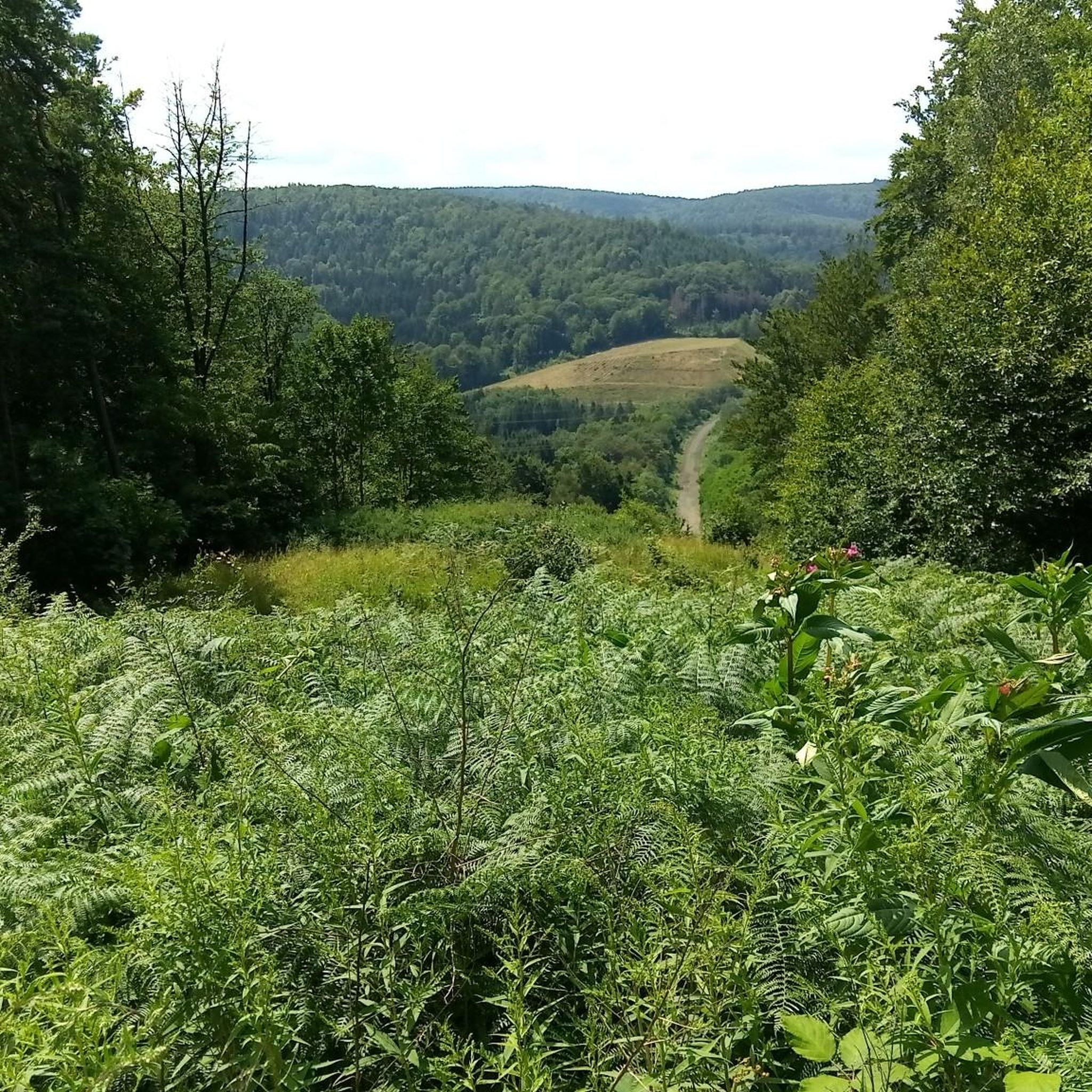
No traffic road cycling routes around Hollwinkeler Holz are characterized by a predominantly flat topography, making the region suitable for consistent speeds and endurance training. This area features a significant deciduous forest, which is the largest of its kind between the Wiehen Hills and the Mittelland Canal. The surrounding landscape is largely agricultural, offering extensive open stretches through fields and rural roads. Elevations within the forest itself are minimal, generally ranging between 50 and 52 meters above sea level.
Best…
Last updated: October 2, 2026
10
riders
44.1km
02:01
190m
190m
Moderate road ride. Good fitness required. Some segments of this route may be unpaved and difficult to ride.
3
riders
26.9km
01:17
270m
270m
Moderate road ride. Great for any fitness level. Some segments of this route may be unpaved and difficult to ride.

3
riders
69.7km
03:02
310m
310m
Moderate road ride. Good fitness required. Some segments of this route may be unpaved and difficult to ride.
4.0
(1)
12
riders
36.7km
01:35
130m
130m
Easy road ride. Great for any fitness level. Mostly well-paved surfaces and easy to ride.
5.0
(1)
7
riders
46.0km
02:03
230m
230m
Moderate road ride. Good fitness required. Some segments of this route may be unpaved and difficult to ride.
Get access to more routes and recommendations from other explorers.
Already have an account?
Our route recommendations are based on thousands of hikes, rides, and runs completed by other people on komoot.
Start today with a free account
Your next adventure awaits.
Popular around Hollwinkeler Holz
Tips from the Community

In the heart of Rahden stands the Protestant Church of St. John, visible from afar. The current church building dates back to the 14th century. The exterior and interior of the church have been altered several times during later conversions and renovations. As an "open church", the house of worship can be visited from the inside daily from 10:00 AM to 6:00 PM, at least during the summer months. Exterior viewing is possible at any time, as the church can be easily circled on foot.
0
0


Fresh drinking water, very welcome after the complete renovation of the facility!
2
0

"Das kleine Haus" is open all day and offers both hot meals and a variety of cakes. The price and taste are absolutely right.
0
0

A very large parking lot and a good start for tours
0
0
The backdrop with the town hall and the roundabout in front has become something of a landmark of Bad Essen. Despite the traffic, it's simply a beautiful view.
0
0

The dinosaur tracks of Barkhausen are a natural monument in a disused quarry in the Linner Berg near Barkhausen on the Hunte, a district of the Lower Saxony municipality of Bad Essen in the district of Osnabrück. On the bedding planes of the rock, which is about 150 million years old (Middle Kimmeridgian), fossil tracks (sequences of fossil footprints) of sauropod and theropod dinosaurs from the late Upper Jurassic (Malm) are exposed.
0
0
Beautiful town center of Bad Essen. Very beautiful half-timbered houses can be seen here.
0
0
Frequently Asked Questions
How many no-traffic road cycling routes are available around Hollwinkeler Holz?
There are over 60 dedicated no-traffic road cycling routes around Hollwinkeler Holz, offering a wide variety of options for different skill levels.
Are there easy no-traffic road cycling routes suitable for beginners?
Yes, approximately 19 of the routes are classified as easy, making them ideal for beginners or those looking for a relaxed ride. An example is the Hüffe Castle – Schloss Benkhausen loop from Bad Holzhausen, which features minimal elevation gain.
What is the typical terrain and elevation like on these no-traffic road cycling routes?
The region around Hollwinkeler Holz is notably flat, with elevations generally between 50 and 52 meters above sea level. This makes for consistent, unchallenging road cycling. While some routes might have gentle undulations, like the Green Lake – Siebenpässetour Parking Area loop from Bad Holzhausen with about 275 meters of elevation gain, the overall topography is very cyclist-friendly.
What natural features or landmarks can I expect to see on these routes?
You'll primarily experience a serene deciduous forest, which is a significant green space in the Minden-Lübbecke district. Routes often pass through extensive agricultural landscapes, offering open views. You might also encounter natural water features like the Große Aue river or the Mehner Bach stream, which border or flow through parts of the area.
When is the best time of year to enjoy no-traffic road cycling around Hollwinkeler Holz?
The best time to cycle is typically from spring through autumn. The deciduous forest is particularly beautiful in spring with new growth and in autumn with vibrant colors. The flat terrain makes it enjoyable in most weather conditions, though summer offers the longest daylight hours.
Are there any circular no-traffic road cycling routes available?
Yes, many of the routes are designed as loops, allowing you to start and end at the same point. For instance, the View of the Stemweder Berge – Hüffe Castle loop from Lübbecke (Westf) is a great circular option.
What do other road cyclists say about the no-traffic routes around Hollwinkeler Holz?
The routes around Hollwinkeler Holz are highly rated by the komoot community, with an average score of 4.3 out of 5 stars from over 130 ratings. Cyclists often praise the quiet, flat roads and the peaceful natural surroundings, making it ideal for relaxed, traffic-free rides.
Where can I park my car when starting a no-traffic road cycling route?
Many routes start from towns like Bad Holzhausen or Lübbecke (Westf), which typically offer public parking facilities. The K 80 district road also provides access points to the area, and you can often find suitable parking in nearby villages or designated spots.
Is Hollwinkeler Holz accessible by public transport for road cyclists?
Yes, towns like Bad Holzhausen and Lübbecke (Westf), which serve as starting points for several routes, are generally accessible by public transport. It's advisable to check local bus or train schedules for specific connections to these locations.
Are there any longer no-traffic road cycling routes for more experienced riders?
Absolutely. While the area is known for its flat terrain, there are longer routes that cater to endurance. The Eggetal Ascent – Benkhausen Castle loop from Bad Holzhausen, for example, covers nearly 70 km, offering a substantial ride through the region.
Can I find routes that combine forest scenery with open agricultural views?
Yes, the routes often traverse both the deciduous forest areas and the surrounding agricultural landscapes. This provides a varied cycling experience, transitioning from shaded woodland paths to open, scenic stretches through fields, all while maintaining a low-traffic environment.
Most popular routes around Hollwinkeler Holz

Get inspired with the komoot mobile app


Explore more
Browse the best Road cycling routes in other regions.
