The best hikes from bus stations around Müggelberge
4.5
(1598)
9,453
hikers
47
hikes
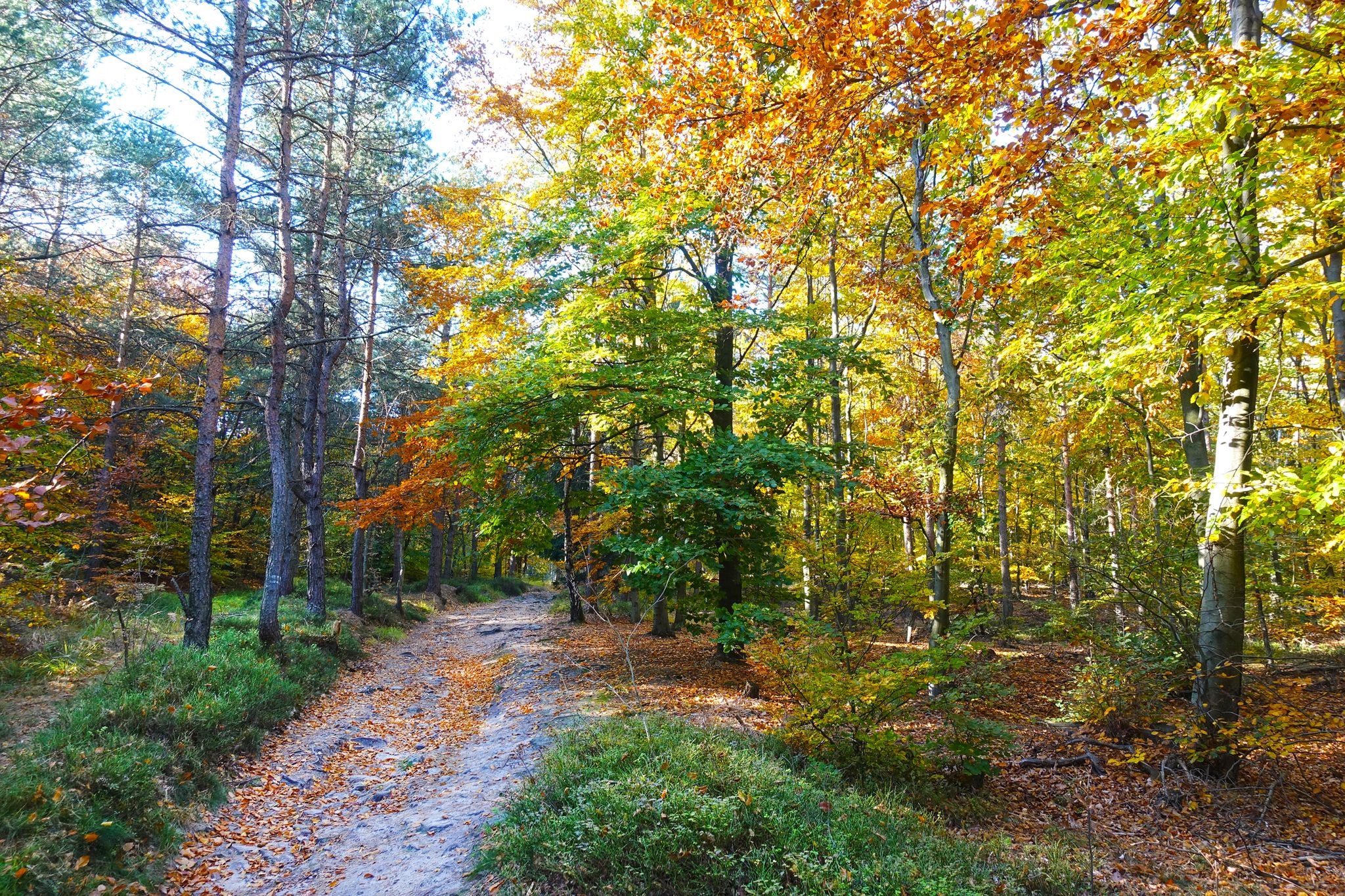
Hiking around Müggelberge offers a distinctive outdoor experience within Berlin, characterized by wooded hills and diverse terrain shaped by ancient glacial moraines. As Berlin's highest elevation at 115 meters, the region provides a "mountainous" feel with romantic forest paths and sandy trails. Key features include the unique Teufelssee Moor with its boardwalks, the panoramic views from Großer Müggelberg and Müggelturm, and the expansive Großer Müggelsee. The landscape provides varied routes for different hiking preferences.
Best bus station hiking trails around Müggelberge
- The most popular bus station hiking route is Müggelsee at Rübezahl – Müggelsee Promenade loop from Teufelsseemoor Köpenick, a 4.2 miles (6.7 km) trail that takes 1 hour 41 minutes to complete. This easy route offers scenic views along the Müggelsee.
- Another top favourite among local hikers is Teufelssee Observation Deck – Teufelssee Moor loop from Treptow-Köpenick, a moderate 5.7 miles (9.2 km) path. This route explores the unique Teufelssee Moor and provides views from the observation deck.
- Local hikers also love the View of the Teufelssee – Teufelssee Observation Deck loop from Teufelsseemoor Köpenick, a 3.9 miles (6.3 km) trail leading through varied forest terrain, often completed in about 1 hour 42 minutes.
- Hiking around Müggelberge is defined by wooded hills, glacial moraines, and the scenic Großer Müggelsee. The network offers options for different ability levels, from easy strolls to more challenging routes.
- The routes in Müggelberge are highly rated by the komoot community with an average score of 4.5 stars from over 1,300 reviews. More than 8,700 hikers have used komoot to explore Müggelberge's varied terrain.
Last updated: October 2, 2026
4.5
(45)
475
hikers
Easy hike. Great for any fitness level. Easily-accessible paths. Suitable for all skill levels.
4.6
(51)
157
hikers
9.22km
02:28
100m
100m
Moderate hike. Good fitness required. Easily-accessible paths. Suitable for all skill levels.

4.6
(31)
106
hikers
Moderate hike. Great for any fitness level. Mostly accessible paths. Sure-footedness required.
4.8
(63)
189
hikers
Moderate hike. Good fitness required. Easily-accessible paths. Suitable for all skill levels.
4.8
(60)
197
hikers
Easy hike. Great for any fitness level. Easily-accessible paths. Suitable for all skill levels.
Get access to more routes and recommendations from other explorers.
Already have an account?
Our route recommendations are based on thousands of hikes, rides, and runs completed by other people on komoot.
Start today with a free account
Your next adventure awaits.



Tips from the Community

Daggy is wrong; the southern staircase has only 217 steps.
0
0

A sculpture that only reveals its details when viewed correctly.
0
0
In the right light, you have the perfect photo motif here.
0
0

Worth a trip at any time of year. I was there in the still sparse spring and yet it was an enchanted atmosphere.
0
0

imposing natural monument with information signs
1
0

looks quite impressive and there is also some information about age, diameter and so on
0
1

With a bit of luck, you might see wild boars in the moor.
0
0

A pretty seahorse sculpture, illuminated by the morning sun over Lake Müggelsee.
1
0
Frequently Asked Questions
How many hiking trails are accessible from bus stations in Müggelberge?
There are over 45 hiking trails in Müggelberge that are easily accessible from bus stations, offering a range of difficulties from easy to challenging. You'll find 24 easy routes, 22 moderate routes, and 2 more difficult options.
What kind of terrain can I expect on bus-accessible hikes in Müggelberge?
The Müggelberge area features diverse terrain, including wooded hills, romantic forest paths, and sandy trails, shaped by glacial moraines. You'll find routes with gentle inclines and some more challenging sections, but many are suitable for various fitness levels.
Are there any family-friendly hiking routes accessible by bus in Müggelberge?
Yes, many routes are suitable for families. For an easy and scenic option, consider the Müggelsee at Rübezahl – Müggelsee Promenade loop, which is relatively flat and offers beautiful lakeside views. The area's well-maintained paths make it enjoyable for all ages.
Can I bring my dog on the hiking trails around Müggelberge bus stations?
Yes, Müggelberge is generally dog-friendly. Most trails allow dogs, but it's always recommended to keep them on a leash, especially in nature protection areas or when encountering wildlife. The diverse forest paths provide a great environment for walks with your canine companion.
What landmarks or viewpoints can I discover on hikes starting from bus stations in Müggelberge?
Many routes offer stunning views and interesting natural features. You can reach the Großer Müggelberg Summit Cross, Berlin's highest natural point, or enjoy panoramic vistas from the Müggelturm observation tower. The unique Teufelssee Moor with its boardwalks is also a prominent natural feature.
Are there any circular hiking routes that start and end near a bus stop in Müggelberge?
Yes, many routes are circular, allowing you to return to your starting point easily. An example is the Teufelssee Observation Deck – Teufelssee Moor loop, which offers a moderate challenge and brings you back to where you began.
What is the best time of year to hike in Müggelberge using public transport?
Müggelberge is beautiful year-round. Spring offers lush greenery and blooming flora, while autumn provides stunning fall colors. Summer is great for combining hikes with lakeside activities, and winter can offer peaceful, snowy landscapes. Public transport access remains consistent throughout the seasons.
Are there any cafes or restaurants near the bus-accessible hiking trails in Müggelberge?
Yes, the area offers amenities for refreshment. For example, the Müggelsee at Rübezahl area is known for its lakeside restaurants, perfect for a break during or after your hike. You'll find options to refuel and relax.
What do other hikers enjoy most about hiking in Müggelberge?
The area is highly rated by the komoot community, with an average score of 4.5 stars. Reviewers often praise the diverse landscapes, the tranquility of the forests, the stunning views from the Müggelturm, and the well-maintained paths that make it accessible for all.
Are there any less crowded or 'hidden gem' hikes accessible by bus in Müggelberge?
While popular spots like the Müggelturm can attract crowds, exploring routes slightly off the main paths can offer more solitude. The extensive network of trails means you can often find quieter sections, especially on weekdays or earlier in the morning. Consider the Teufelssee Moor – View of the Teufelssee loop for a longer, immersive experience away from the busiest spots.
How long are the typical bus-accessible hikes in Müggelberge?
Hikes vary in length, catering to different preferences. You can find shorter routes like the Großer Müggelberg Summit Cross – Müggelsee at Rübezahl loop, which is around 5.3 km, or longer excursions such as the View of the Teufelssee – Teufelssee Observation Deck loop, which is approximately 6.3 km.
Most popular routes around Müggelberge
Most popular attractions around Müggelberge

Get inspired with the komoot mobile app


Explore more
Browse the best Hikes in other regions.
