The best hikes from bus stations around Blaue Adria - Mittelweiher
4.4
(3670)
22,766
hikers
382
hikes
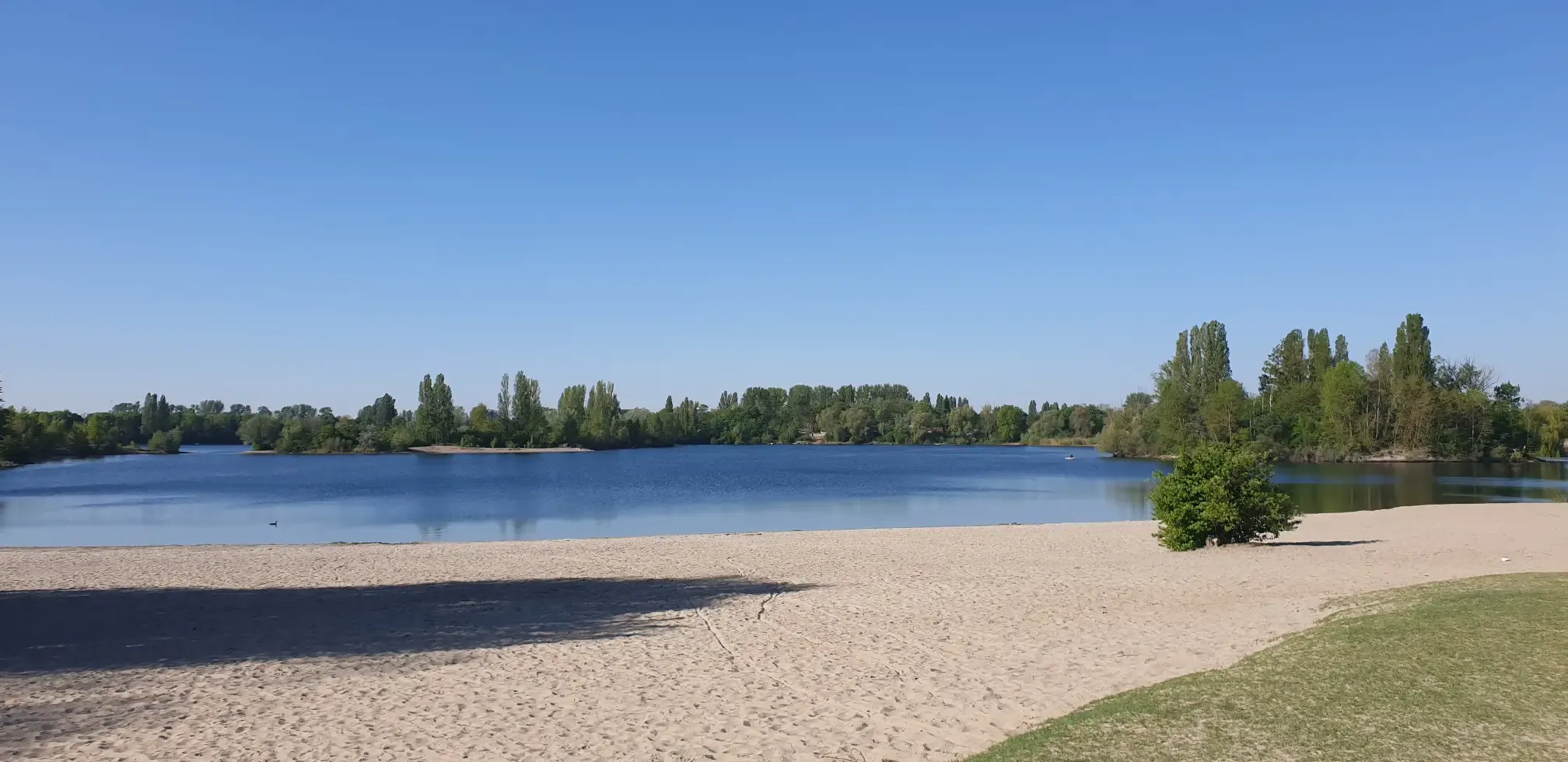
Bus station hiking trails around Blaue Adria - Mittelweiher are characterized by a landscape shaped by interconnected gravel pits and proximity to the Rhine River. The region features several lakes, including the Blaue Adria, and the Auenwald Horreninsel Nature Reserve, a riparian forest. Terrain is generally flat with minimal elevation gain, offering accessible paths suitable for various fitness levels.
Best bus station hiking trails around Blaue Adria - Mittelweiher
- The most popular bus station hiking route is Promenade along the…
Last updated: October 30, 2026
4.3
(10)
30
hikers
Moderate hike. Good fitness required. Easily walkable paths.
4.6
(5)
13
hikers
Easy hike. Easily walkable paths.

4.6
(145)
598
hikers
Easy hike. Easily walkable paths.
4.6
(55)
301
hikers
9.09km
02:17
10m
10m
Moderate hike. Good fitness required. Easily walkable paths.
4.5
(13)
65
hikers
Easy hike. Easily walkable paths.
Get access to more routes and recommendations from other explorers.
Already have an account?
Our route recommendations are based on thousands of hikes, rides, and runs completed by other people on komoot.
Start today with a free account
Your next adventure awaits.
Popular around Blaue Adria - Mittelweiher
Other adventures around Blaue Adria - Mittelweiher

Tips from the Community

Footpath from the Mannheim city center - and totally rustic
0
0

Imagine it's summer and everything is full of mosquitoes, move on quickly or you risk anemia.
0
0

The Reißinsel is designated as a nature reserve and is closed every year from March up to and including June so that the birds living here can raise their young undisturbed. The northern part of the Reißinsel is protected as a "Bannwald" (prohibited forest). This area is not used for forestry in any way. To the south, there is a "Schonwald" (conservation forest), where forestry management is aimed at protecting the forest in particular. More info here: https://www.mannheim.de/de/service-bieten/gruene-stadt/wald/waldpark-und-reissinsel The only public access for pedestrians (no bicycles, no dogs) is located at the Kuckucksinsel.
4
0

Slightly slippery when wet.
0
1

A beautiful destination for a short walk in the wild, extendable to a longer walk along the Rhine
0
0

Frequently Asked Questions
How many hiking trails are accessible from bus stations around Blaue Adria - Mittelweiher?
There are over 380 hiking routes in the Blaue Adria - Mittelweiher area that are easily accessible via public transport, offering a wide range of options for all fitness levels.
Are there easy hiking trails suitable for beginners near bus stops?
Yes, many routes are suitable for beginners. For an easy, scenic walk, consider the Blue Adriatic – Beach at Hotel Darstein loop from Neuhofener Altrhein. This route is 6.6 km long and offers pleasant views around the lake.
What kind of terrain can I expect on bus-accessible hikes in this region?
The terrain around Blaue Adria - Mittelweiher is generally flat, with minimal elevation changes, making it accessible for most hikers. You'll find paths through riparian forests like the Auenwald Horreninsel, along the shores of interconnected lakes, and near the Rhine River. The area is known for its diverse aquatic landscape.
Are there any circular hiking routes that start and end near a bus station?
Yes, many of the routes are circular, allowing you to return to your starting point easily. The Promenade along the Rhine – Horreninsel Floodplain Forest loop from Neuhofener Altrhein is a moderate 9.3 km circular hike that takes you through the beautiful Auenwald Horreninsel Nature Reserve.
Can I bring my dog on these bus-accessible hiking trails?
Most trails in the Blaue Adria - Mittelweiher area are dog-friendly, especially those through natural areas like the Auenwald Horreninsel. Always keep your dog on a leash, especially near nature reserves and other visitors. Remember to bring water for your pet.
Are there family-friendly hiking options accessible by bus?
Absolutely. The generally flat and well-maintained paths make many routes ideal for families. The Island hike in the middle of Mannheim, at just under 6 km, is an easy option that offers a pleasant experience for all ages.
What natural features or viewpoints can I expect to see on these hikes?
The region is characterized by its interconnected gravel pits and proximity to the Rhine River. You'll encounter scenic lakes, riparian forests (Auenwald Horreninsel), and river views. The Bellenkrappen Viewpoint – Reißinsel Nature Reserve loop from Reißinsel offers specific viewpoints and access to a nature reserve.
What is the best time of year to hike around Blaue Adria - Mittelweiher?
The Blaue Adria - Mittelweiher area is enjoyable year-round. Spring and autumn offer pleasant temperatures and beautiful foliage, especially in the Auenwald. Summer is popular for combining hikes with swimming in the lakes, while winter can provide peaceful, crisp walks, though some paths might be muddy.
Are there places to eat or get refreshments near the bus station hiking trails?
Yes, as a popular local recreation area, Blaue Adria - Mittelweiher has facilities for visitors. You can find cafes and restaurants, particularly near the main lake areas and the camping site, offering options for refreshments before or after your hike.
What do other hikers enjoy most about the trails in Blaue Adria - Mittelweiher?
The area is highly rated by the komoot community, with an average score of 4.44 stars. Reviewers often praise the beautiful waterside paths, the tranquility of the Auenwald Horreninsel, and the accessibility of the trails for various fitness levels. The combination of natural beauty and recreational opportunities is frequently highlighted.
Is there a moderate hike accessible by bus that explores the natural reserves?
Yes, the Horreninsel Floodplain Forest – Horreninsel Nature Reserve – Altrhein Area loop from Altrip is an easy to moderate 5.8 km route that takes you directly through the rich natural environment of the Horreninsel Nature Reserve and along the Altrhein area.
Most popular routes around Blaue Adria - Mittelweiher

Get inspired with the komoot mobile app


Explore more
Browse the best Hikes in other regions.
