The best traffic-free bike rides around Melchsee
4.7
(227)
9,036
riders
5
rides
No traffic road cycling routes around Melchsee are found on an idyllic high plateau in Central Switzerland, situated at approximately 2000 meters above sea level. This region is characterized by its alpine landscapes, clear mountain air, and a car-free environment. Notable features include picturesque mountain lakes such as Melchsee and Tannensee, alongside extensive flat moorland areas forming nature reserves. The wide plateau is surrounded by striking peaks, offering diverse terrain for road cyclists.
Best no traffic road cycling routes around…
Last updated: July 26, 2026
15
riders
25.6km
01:54
950m
950m
Hard road ride. Very good fitness required. Mostly well-paved surfaces and easy to ride.
4.7
(3)
56
riders
26.5km
02:08
890m
890m
Moderate road ride. Good fitness required. Mostly well-paved surfaces and easy to ride.

Sign up for free
5.0
(4)
11
riders
16.5km
00:59
420m
420m
Moderate road ride. Good fitness required. Mostly well-paved surfaces and easy to ride.
5.0
(6)
420
riders
38.6km
02:42
1,380m
1,380m
Hard road ride. Very good fitness required. Mostly well-paved surfaces and easy to ride.
4.3
(3)
60
riders
42.4km
02:43
1,040m
1,040m
Hard road ride. Very good fitness required. Mostly well-paved surfaces and easy to ride.
Our route recommendations are based on thousands of hikes, rides, and runs completed by other people on komoot.
Start today with a free account
Your next adventure awaits.
Login or Signup



Tips from the Community

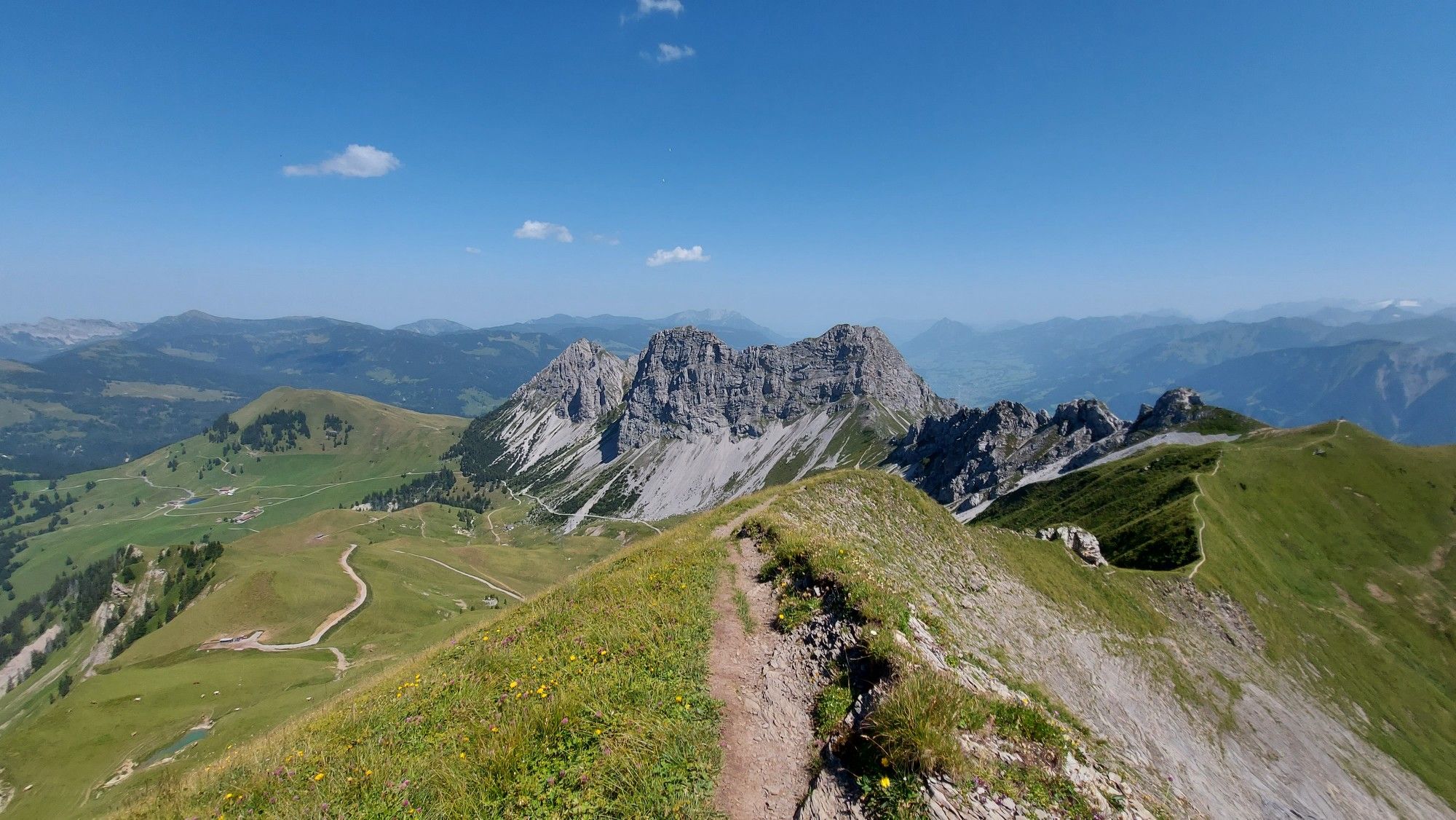
From the panorama tower, an impressive panoramic view opens up over Lake Melch, Lake Tann and the surrounding peaks. The short detour is worth it – one of the most beautiful viewpoints around Melchsee-Frutt.
0
0
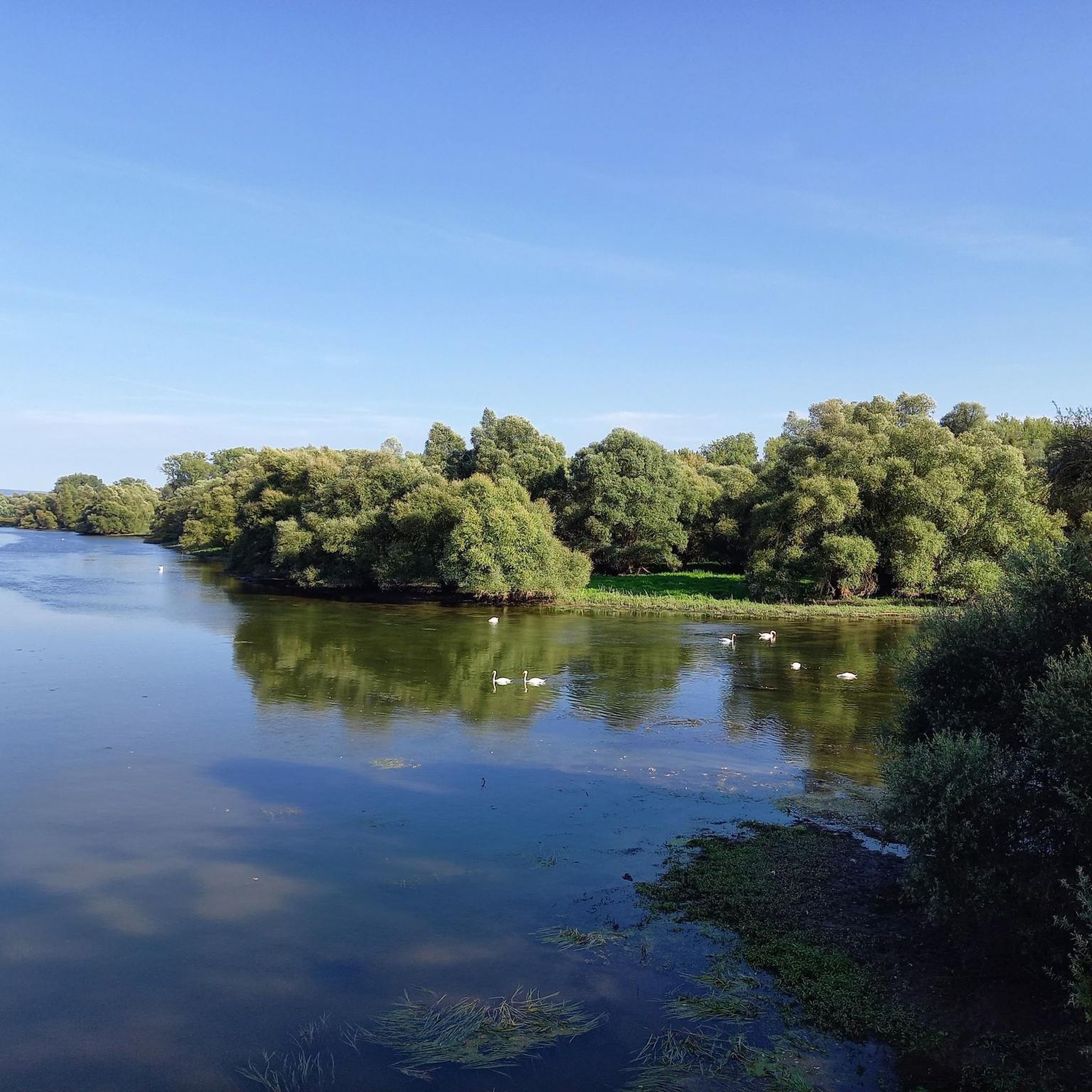
The Tannensee impresses with its clear water and the magnificent alpine scenery at around 2,000 meters altitude. A beautiful spot for a short break and one of the scenic highlights around Melchsee-Frutt.
0
0
A rewarding stop on every tour: traditional alpine cheese is made in the Tannalp alpine dairy. Here you can enjoy regional specialties and recharge your batteries – surrounded by an impressive mountain backdrop.
0
0
Tannalp delights with its original alpine landscape, lush meadows, and an impressive mountain backdrop. A beautiful place for a break and a perfect starting point to explore the region by MTB.
0
0
From here you can enjoy a magnificent view of the turquoise-blue Melchsee, framed by the impressive mountain world. A perfect spot for a short break and beautiful photos before the MTB tour continues.
0
0


Mountain inn with large sun terrace
0
0

A small chapel in a very scenic location.
0
0
Frequently Asked Questions
How many no-traffic road cycling routes are available around Melchsee-Frutt?
There are 6 dedicated no-traffic road cycling routes detailed in this guide for the Melchsee-Frutt area. These routes range from moderate to difficult, offering diverse challenges for cyclists.
What is the best time of year to enjoy car-free road cycling in Melchsee-Frutt?
The prime season for road cycling in Melchsee-Frutt is typically during the warmer months, from late spring to early autumn. This is when the high-altitude roads are clear of snow, and you can fully appreciate the stunning alpine scenery and clear mountain air.
Are there any easy no-traffic road cycling routes suitable for beginners or families?
While many routes in this guide are rated moderate to difficult, the Melchsee-Frutt area is known for its tranquil, car-free environment, making it generally family-friendly. For a less strenuous experience, consider the Brockenhaus Brünig Pass Summit – Brünig Pass loop from Hasliberg Reuti, which is rated moderate and offers a good introduction to the region's beauty.
What natural attractions can I see along the no-traffic road cycling routes?
The routes offer breathtaking alpine scenery, including picturesque mountain lakes like Melchsee and Tannensee. You can also pass through the extensive flat moorland of the Melchsee nature reserve. For a specific highlight, consider visiting the Melchsee-Frutt lake itself, which is a central feature of the plateau.
What do other road cyclists enjoy most about the no-traffic routes in Melchsee-Frutt?
The Melchsee-Frutt area is highly rated by the komoot community, with an average score of 4.7 stars from 175 ratings. Reviewers often praise the stunning alpine landscapes, the clear mountain air, and the unique experience of cycling on tranquil, car-free roads amidst such impressive natural beauty.
Are there any loop routes for no-traffic road cycling in the Melchsee-Frutt region?
Yes, several routes in this guide are designed as loops, allowing you to start and end at the same point. Examples include the challenging Tannalp Alpine Cheese Dairy – Melchsee-Frutt loop from Stöckalp and the moderate Innertkirchen – Old Grimsel Pass Road Tunnel loop from Innertkirchen Grimseltor.
How can I access the Melchsee-Frutt plateau for cycling, especially with a bike?
The Melchsee-Frutt plateau is accessible by a 20-minute cable car ride from Stöckalp. You can load your bike onto the cable car, making it convenient to reach the car-free high plateau and begin your cycling adventure from there.
Are there places to eat or stay along the no-traffic road cycling routes?
Melchsee-Frutt offers various facilities, including accommodation and dining options. For example, the Frutt Lodge & Spa Hotel is located on the plateau. You'll also find amenities like the Barbecue and Picnic Area at Melchsee for a more casual stop.
What are some of the more challenging no-traffic road cycling routes in the area?
For experienced cyclists seeking a challenge, routes like the View of Rosenlaui Glacier – Grosse Scheidegg loop from Meiringen offer significant elevation gain and distance, rated as difficult. The Engstlenalp Hotel – Engstlenalp loop from Hopflauenen is another demanding option with substantial climbing.
Is parking available for cyclists accessing the no-traffic routes?
Yes, parking is generally available at the access points to the region, such as Stöckalp, where you can take the cable car up to the car-free plateau. It's advisable to check local parking information before your trip, especially during peak season.
Can I find information about the Melchsee-Frutt region beyond cycling?
Absolutely. Melchsee-Frutt is a diverse outdoor destination. Beyond cycling, you can enjoy hiking, fishing in the mountain lakes, and family-friendly activities. For more general information about the region, you can visit the official tourism website for Obwalden: obwalden-tourismus.ch.
Most popular routes around Melchsee
Most popular attractions around Melchsee

Get inspired with the komoot mobile app


Explore more
Browse the best Road cycling routes in other regions.
