The best traffic-free bike rides around Parco Lura
4.2
(726)
19,032
riders
124
rides
No traffic road cycling routes around Parco Lura traverse a diverse landscape characterized by woodlands, agricultural fields, and wetlands, following the course of the Lura torrent. The park is situated on the high Lombard plain, offering mostly paved surfaces suitable for road cycling. Elevation changes are generally modest, with some routes featuring gentle climbs. This green corridor connects various towns and provides a continuous natural environment for cycling.
Best no traffic road cycling routes around Parco Lura
- The most popular…
Last updated: November 12, 2026
4.3
(3)
23
riders
72.1km
02:54
150m
150m
Moderate road ride. Good fitness required. Some segments of this route may be unpaved and difficult to ride.
3
riders
Moderate road ride. Good fitness required. Some segments of this route may be unpaved and difficult to ride.

4.1
(12)
208
riders
57.7km
02:21
90m
90m
Moderate road ride. Good fitness required. Some segments of this route may be unpaved and difficult to ride.
5.0
(2)
18
riders
38.1km
01:41
190m
190m
Easy road ride. Mostly well-paved surfaces and easy to ride.
5.0
(1)
11
riders
105km
05:11
1,250m
1,250m
Hard road ride. Very good fitness required. Some segments of this route may be unpaved and difficult to ride.
Get access to more routes and recommendations from other explorers.
Already have an account?
Our route recommendations are based on thousands of hikes, rides, and runs completed by other people on komoot.
Tips from the Community

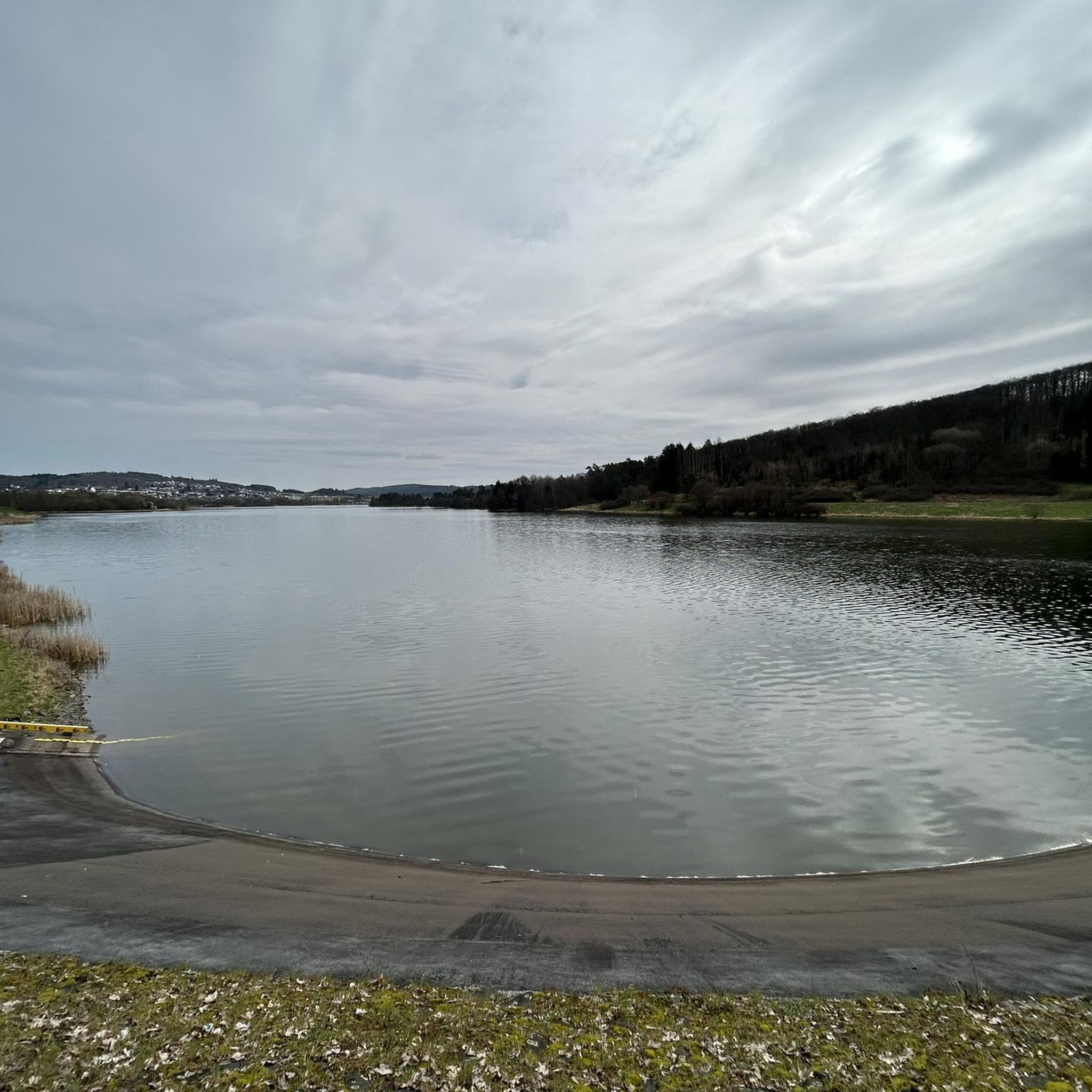
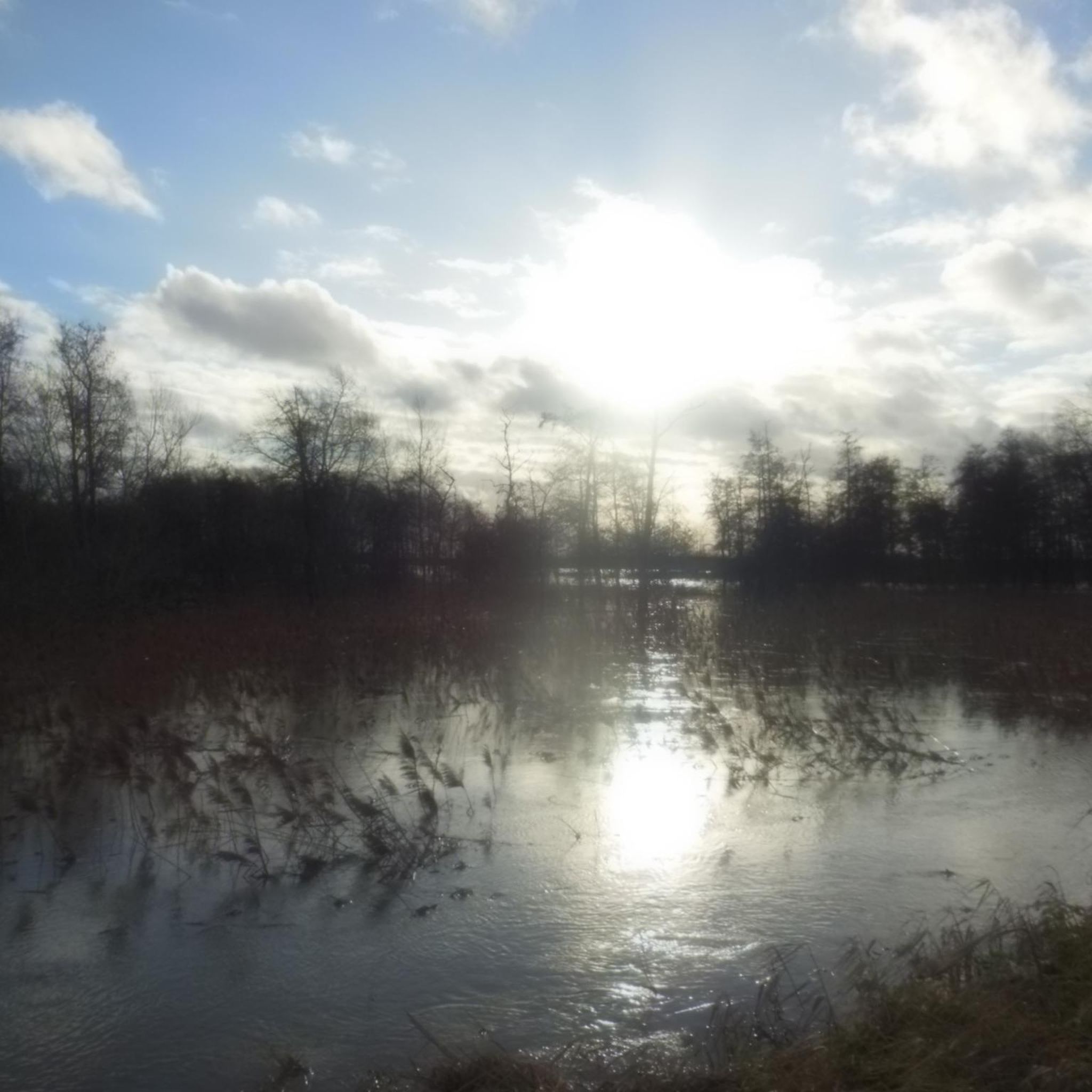
The Parco della Rosa Camuna is a natural park of about 50,000 sq m located between the intersection of the Villoresi Canal and the Lura stream, at the entrance to Lainate in the area north of the former Alfa Romeo, characterized by a small lake shaped like a camuna rose, a symbol of Lombard prehistoric culture. This small lake is fed by the Villoresi Canal. You arrive via cycle paths and a wooden walkway that leads to the center of the small lake.
0
0
The Villoresi Canal Cycle Path is a flat and protected route of about 85-90 km that connects the Panperduto dam (Somma Lombardo, on the Ticino river) to Groppello d'Adda (Cassano d'Adda, on the Adda river).
0
0
The path and cycle path along the Villoresi Canal offer a flat route of about 80-86 km that connects the Ticino river (Panperduto dam) to the Adda (Groppello d'Adda), passing north of Milan and Turismo Monza.
0
0
Castelletto di Cuggiono is a charming hamlet in the municipality of Cuggiono, located in the metropolitan city of Milan and immersed in the splendid natural scenery of the Ticino Park. It stands along the banks of the Naviglio Grande and is one of the most appreciated historical and naturalistic destinations in the Milanese province for walking or cycling excursions.
0
0
The Parish Church of Santo Stefano Protomartire is the main religious building and parish church of Appiano Gentile, located in the province of Como and belonging to the Archdiocese of Milan (of Ambrosian rite). Dominating the central square of the town, the structure is striking for its imposing eclectic facade in the Neo-Baroque style and the characteristic double-ramp access staircase.
0
0
The Strada Alzaia Canale Villoresi is a service road of about 85-90 km that runs along the canal from Somma Lombardo (VA) to Cassano d'Adda (MI), managed by the Consorzio Est Ticino Villoresi. Although widely used by cyclists and walkers, it is not a proper cycle path but a road for mixed use and maintenance.
0
0
The final climb to Colle Brianza varies depending on the chosen side. The side from Dolzago measures 4.1 km with an average gradient of 6.3% and peaks up to 10%. The one from Santa Maria Hoè features the last 800 meters very challenging, with gradients between 12% and 18%. Main Climbs towards Colle Brianza 1. From Dolzago (Classic side) Length: 4.1 km Elevation gain: 259 m Average gradient: 6.3% Description: A fairly easy and regular climb, much appreciated for the view over the plain. The first part is shaded and immersed in the woods, then opens up towards the summit where there is a monument dedicated to the Giro d'Italia. 2. From Santa Maria Hoè (Giovenzana/Cagliano side) Length: 2.9 km Average gradient: 10.5% Description: Much harder and more selective than the Dolzago side. After an accessible first part, the finale features ramps between 12% and 18%. 3. From Castello di Brianza Length: 3.6 km Elevation gain: 223 m Average gradient: 6.1%
0
0
The Naviglio Grande stretch in Castelletto di Cuggiono is one of the most evocative and intact historical and natural sights of the entire Ticino Park. Located in the province of Milan, this ancient river village seems suspended in time and is an ideal destination for walks, cycle touring, and relaxation away from the city chaos.
0
0
Frequently Asked Questions
How many no traffic road cycling routes are available in Parco Lura?
Komoot offers over 130 traffic-free road cycling routes in and around Parco Lura, providing a wide range of options for cyclists looking to explore the area without vehicle interference.
What is the general difficulty level of these traffic-free road cycling routes?
The routes in Parco Lura cater to various skill levels. You'll find a good mix, with approximately 60 easy routes perfect for a relaxed ride, and over 70 moderate routes for those seeking a bit more challenge. There are also a few more difficult options for experienced cyclists.
What kind of landscapes can I expect on traffic-free road cycling routes in Parco Lura?
Parco Lura offers a diverse landscape for traffic-free road cycling. You'll ride through serene woodlands, past agricultural fields, and alongside wetland areas. The routes often follow the Lura torrent, providing a continuous natural corridor through the high Lombard plain.
Are there any specific landmarks or natural features to look out for along these routes?
Yes, several interesting features can be found. The Rosa Camuna Pond, an artificial lake, is a notable spot. You'll also frequently encounter sections of the Lura Cycle Path, which is a central feature of the park's cycling network. The Villoresi Canal also offers a pleasant path for cycling.
Are there any longer, more challenging traffic-free road cycling routes?
For those looking for a longer and more challenging ride, consider the Monastero di Torba – The Little Stelvio Climb loop from Saronno Sud. This route covers over 82 km with more than 500 meters of elevation gain, offering a substantial workout.
Can I find easier, shorter traffic-free road cycling options?
Absolutely. Many routes are suitable for a more relaxed pace. An excellent easy option is the Asnago-Cermenate climb – Cucciago Climb loop from Saronno, which is just over 31 km with minimal elevation, perfect for a leisurely ride.
Are there any routes that follow the Villoresi Canal?
Yes, the Villoresi Canal is a prominent feature in the area, offering pleasant traffic-free cycling. You can explore routes like the Villoresi Canal – Path Along the Villoresi Canal loop from Cesate, which provides a scenic ride along this historic waterway.
What do other cyclists say about road cycling in Parco Lura?
The area is highly rated by the komoot community, with an average score of 4.2 stars from over 570 ratings. Reviewers often praise the quiet, well-maintained paths and the natural beauty of the park, especially for traffic-free road cycling.
Are there family-friendly traffic-free road cycling routes in Parco Lura?
Many of the easy and moderate routes within Parco Lura are suitable for families, especially those that stick to the dedicated cycle paths like the Lura Cycle Path. These routes generally have minimal elevation gain and are free from vehicle traffic, making them safe and enjoyable for all ages.
Is it possible to find circular traffic-free road cycling routes?
Yes, many of the routes in Parco Lura are designed as loops, allowing you to start and finish at the same point. For example, the Saronno Cathedral – Limido Comasco loop from Saronno is a great circular option for a traffic-free ride.
What is the best time of year to enjoy traffic-free road cycling in Parco Lura?
Spring and autumn generally offer the most pleasant conditions for road cycling in Parco Lura, with mild temperatures and beautiful scenery. Summer can be warm, but the wooded sections of the park provide welcome shade. Winter cycling is also possible, though some paths might be less maintained.
Are there connections to other cycling networks or parks from Parco Lura?
Yes, Parco Lura is part of a larger network. The Lura Cycle Path itself is a segment of the 'Eurovelo n. 5' itinerary. The park also connects with other protected areas, such as the Groane Park, extending the possibilities for longer and more varied cycling adventures.
Most popular routes around Parco Lura

Get inspired with the komoot mobile app


Explore more
Browse the best Road cycling routes in other regions.
