The best hikes from bus stations around Paratge Natural d'Interès Nacional de l'Albera
4.5
(7316)
49,044
hikers
13
hikes
Bus station hiking trails around Paratge Natural d'Interès Nacional de l'Albera traverse a diverse landscape, marking an ecological transition zone from the Pyrenees to the Mediterranean Sea. The terrain features metamorphic rocks like schist and slate, with significant elevation changes from coastal areas to peaks such as Puig d'Esquers at 590 meters. Vegetation varies from lush beech and humid oak forests in the western zone to Mediterranean cork oak forests and scrubland closer to the coast. This region offers varied…
Last updated: November 12, 2026
4.9
(7)
83
hikers
5.86km
01:33
60m
60m
Easy hike. Easily walkable paths.
4.7
(21)
62
hikers
8.22km
02:21
180m
180m
Moderate hike. Good fitness required. Easily walkable paths.

4.6
(14)
65
hikers
13.9km
04:42
550m
550m
Hard hike. Good fitness required. Sure-footedness, sturdy shoes and alpine experience required.
4.6
(24)
140
hikers
9.15km
02:24
70m
70m
Moderate hike. Good fitness required. Easily walkable paths.
4.4
(7)
23
hikers
3.95km
01:32
190m
190m
Hard hike. Sure-footedness, sturdy shoes and alpine experience required.
Get access to more routes and recommendations from other explorers.
Already have an account?
Our route recommendations are based on thousands of hikes, rides, and runs completed by other people on komoot.
Start today with a free account
Your next adventure awaits.
Popular around Paratge Natural d'Interès Nacional de l'Albera
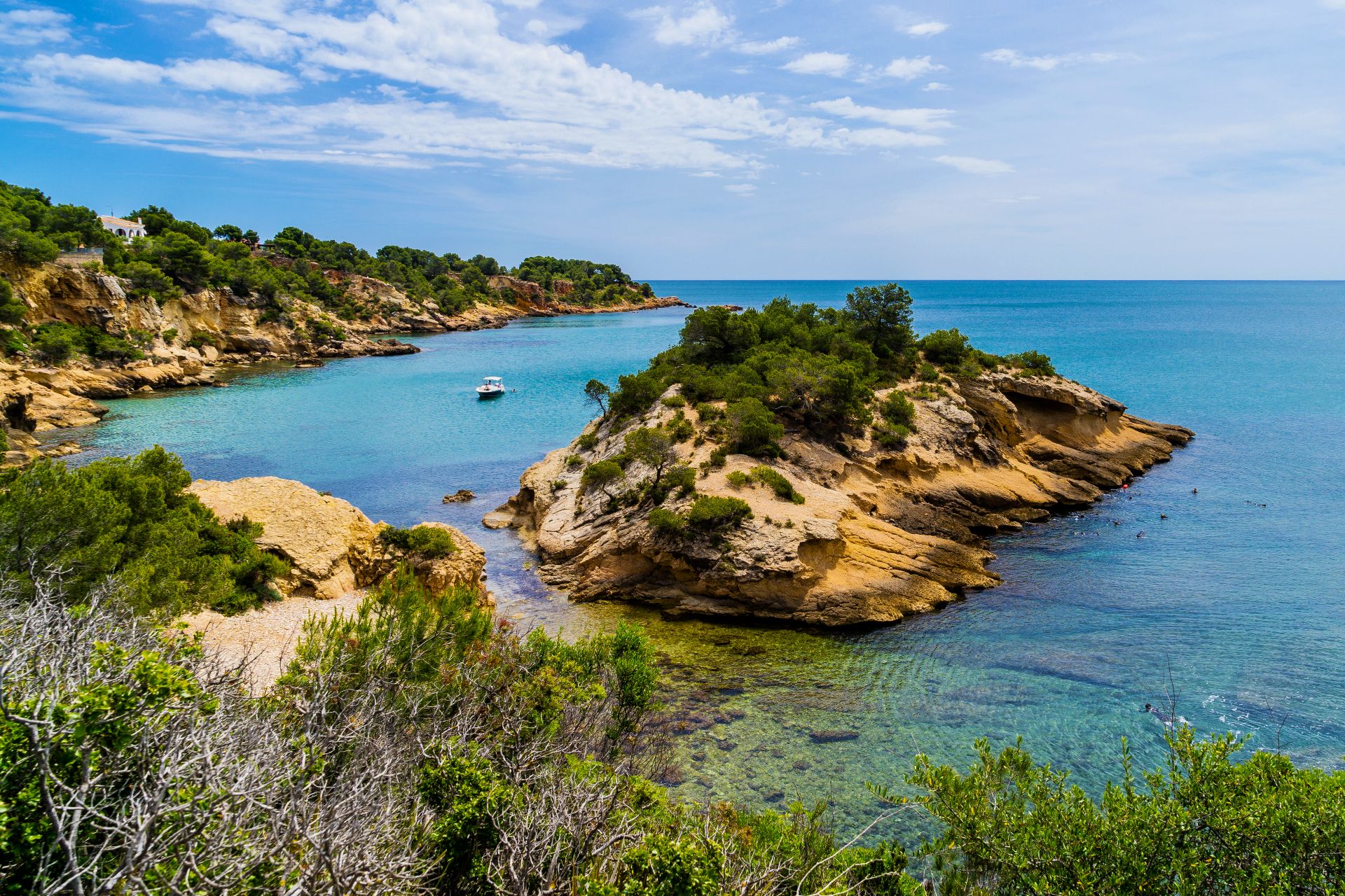
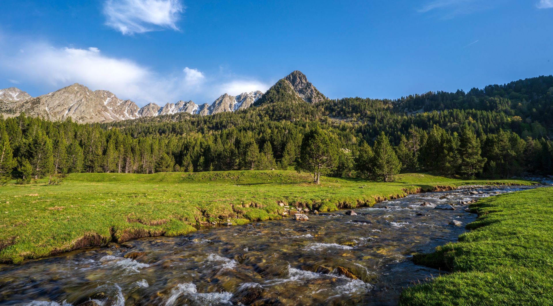
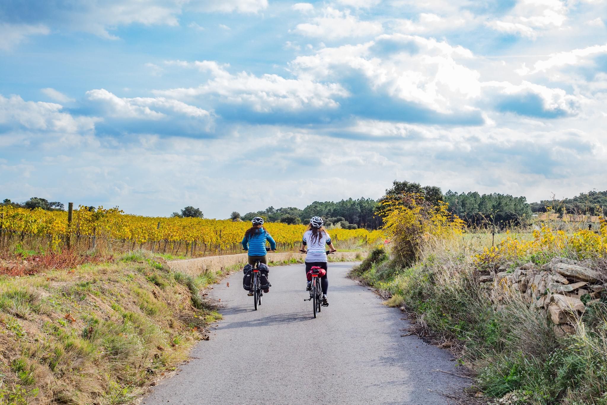
Other adventures around Paratge Natural d'Interès Nacional de l'Albera


Tips from the Community

Tdffxf eg( c fc y cxvv c g ça va cvvc g?((,?)?.?
0
0

In a movie they always just make it to the top, how unlucky this crew was, so close to the top and just missing out.
6
0
A good pair of shoes is necessary for this walk. Depending on the time of year, leg protection could be welcome against the brambles that can overflow in certain places from the small paths.
0
0

Hello, quick question, where can you park a car at least far away to finish on foot without traveling 10 km? I have occasional health problems that prevent me from walking for long periods at the moment, but I would still like to see this wreck.
3
0

The way up (and especially down) from the end of the gorge near the waterfall after the bridge is NOT for the faint of heart. You need strength and sure footing. If you travel in a group and/or if people are coming towards you, you need to know that stones will get knocked loose.
0
1
If you want to see it you have to pay close attention to where it is, unfortunately I cycled past it by accident.
20
0

What surprised me most during my visit was the squeaking of the rudder, caused by a light breeze that did not stop at any time while I was there. The strong wind, which exceeded 120 km/h that day, along with smoke, are thought to have been key factors in the disaster. What deeply outrages me is that the top was barely 20 meters away; Looking at the position in which he was left (leaning), it is evident that he tried to overcome that height without success. Unfortunately, it is believed that the weight of the water was what finally prevented it from surpassing that mark.
8
0
The tragic accident of the French Douglas DC-6 plane in Alt Empordà occurred on July 19, 1986. The plane, belonging to the French civil protection, departed from the Marignane base in Marseille around one in the afternoon. However, the control tower lost track of him at approximately a quarter to two. Witnesses confirmed that the plane had crashed in an area near Requesens. The four crew members of the plane, pilot Jean Pierre Davenat, co-pilot Jacques Ogier, mechanic Roland Denard and assistant Jack Le Bel, died instantly in the accident. It was noted that the combination of smoke and strong winds from the Tramuntana, which exceeded 120 km/h, played a crucial role in the disaster.
2
0
Frequently Asked Questions
How many bus station hiking trails are available in Paratge Natural d'Interès Nacional de l'Albera?
There are over 220 hiking routes accessible from bus stations in the Paratge Natural d'Interès Nacional de l'Albera region. These trails offer a wide range of experiences, from easy strolls to more challenging ascents.
What kind of terrain can I expect on bus-accessible hikes in the Albera region?
The Albera region offers incredibly diverse terrain, transitioning from the Pyrenees to the Mediterranean Sea. You'll encounter metamorphic rocks like schist and slate, lush beech and humid oak forests in the western zones, and Mediterranean cork oak forests and scrubland closer to the coast. Routes can range from coastal paths at sea level to significant ascents offering panoramic views.
Are there easy bus-accessible hiking routes suitable for beginners or those looking for a relaxed walk?
Yes, approximately 90 of the bus-accessible routes are rated as easy. An excellent option for a relaxed walk is the Bramant Cove – Garbet Beach loop from Colera, which is relatively flat and offers beautiful coastal scenery.
Can I find circular hiking routes that start and end at a bus station?
Many of the bus-accessible trails are designed as circular routes, allowing you to return to your starting point without needing additional transport. For example, the Querroig Castle – Platja Gran de Portbou loop from Portbou is a moderate circular hike that offers both historical interest and coastal views.
What historical or natural landmarks can I explore on bus-accessible trails?
The region is rich in both natural and historical landmarks. You can discover ancient megalithic monuments, such as dolmens and menhirs, or visit medieval sites like the 8th-century Benedictine monastery of Sant Quirze de Colera. For natural highlights, consider routes that pass by Querroig Castle or offer views of peaks like Puig Neulós.
Are there any specific viewpoints or scenic spots accessible via bus routes?
Absolutely. Many trails lead to elevated points offering spectacular vistas. For instance, the Salt del Fitó – View of the Albera Massif loop from Le Perthus provides excellent views of the Albera Massif. Higher peaks like Puig d'Esquers also offer extensive panoramic views of the plains, the Albera mountain range, and the Costa Brava.
Are the bus station hiking trails in Paratge Natural d'Interès Nacional de l'Albera suitable for families?
Yes, many trails are suitable for families, especially the easier routes. Look for trails with shorter distances and less elevation gain. The Peralada Castle – Peralada loop from Peralada is an easy option with minimal elevation, perfect for a family outing.
Can I bring my dog on these bus-accessible hiking trails?
Generally, dogs are welcome on most hiking trails in the region, but it's always advisable to check local regulations for specific areas, especially within protected natural park zones. Ensure your dog is on a leash, particularly in areas with wildlife like the Mediterranean tortoise or Albera cattle, and always clean up after them.
What is the best time of year to hike these bus-accessible trails?
Spring and autumn are generally the best times for hiking in the Albera region, offering pleasant temperatures and vibrant landscapes. Spring brings wildflowers, while autumn showcases beautiful foliage. Summer can be hot, especially on coastal and exposed trails, so early mornings or late afternoons are recommended. Winter offers cooler, crisp air, but some higher routes might be more challenging.
How can I find bus schedules and public transport information for these trailheads?
While this guide focuses on the trails themselves, detailed bus schedules and public transport information can typically be found on the websites of local transport authorities or regional bus companies serving the Alt Empordà and Roussillon areas. Planning your journey in advance is recommended to ensure timely access to trailheads.
What do other hikers enjoy the most about hiking in Paratge Natural d'Interès Nacional de l'Albera?
The area is highly rated by the komoot community, with an average score of 4.5 stars. Reviewers often praise the unique combination of mountain and coastal scenery, the rich historical sites like megalithic monuments and Romanesque architecture, and the diverse flora and fauna, including the rare Mediterranean tortoise. The variety of trails, from gentle walks to challenging ascents, is also frequently highlighted.
Most popular routes around Paratge Natural d'Interès Nacional de l'Albera
Most popular attractions around Paratge Natural d'Interès Nacional de l'Albera

Get inspired with the komoot mobile app


Explore more
Browse the best Hikes in other regions.
