The best hikes from bus stations around Ith
4.6
(13266)
40,158
hikers
697
hikes
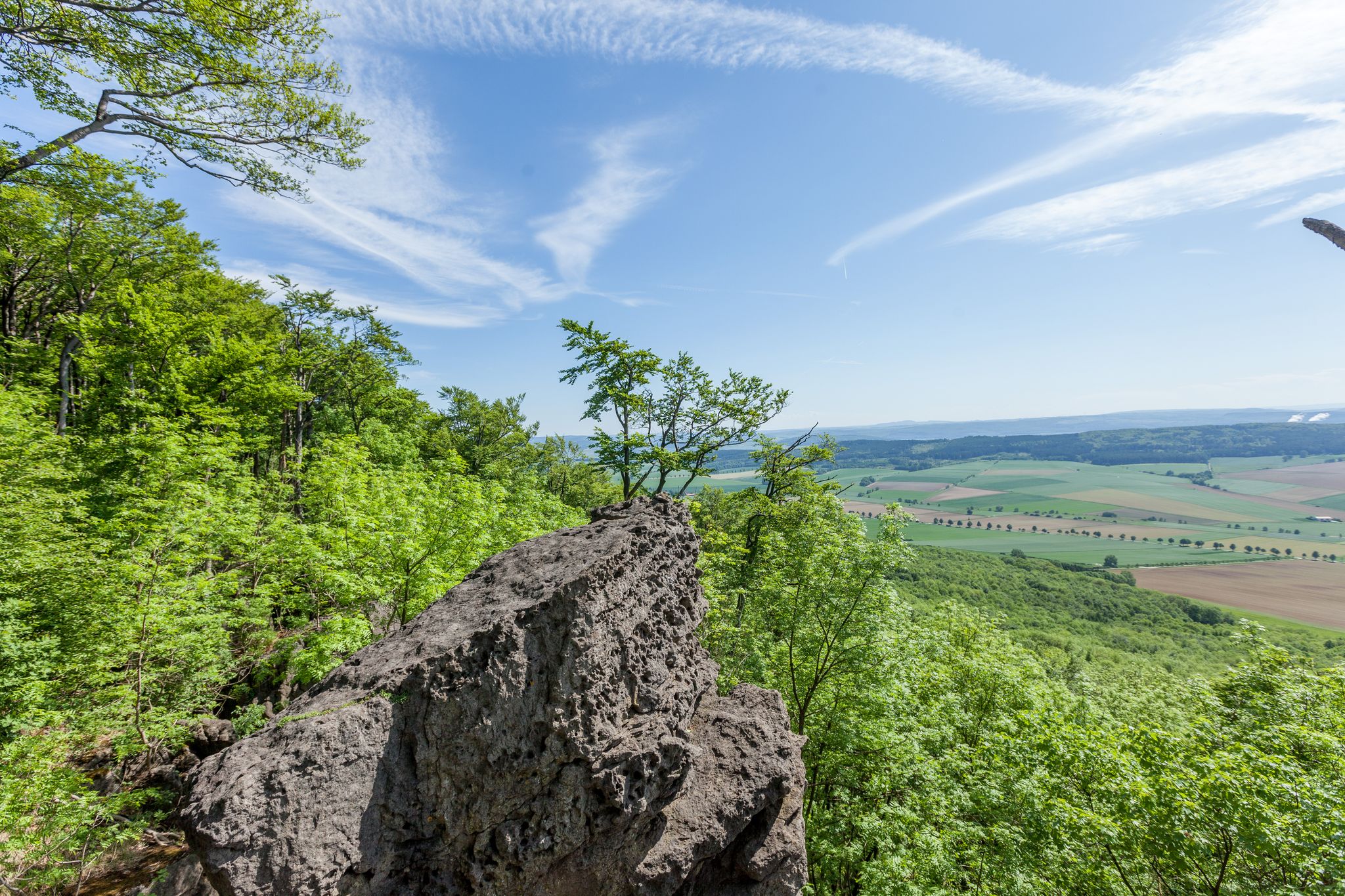
Bus station hiking trails around Ith navigate a landscape characterized by diverse natural features, including notable rock formations, cliffs, and nature reserves. The region offers routes that lead to viewpoints, such as the Ith Tower, and through areas like the Ithwiesen Glider Airfield. Elevation gains on these trails suggest a hilly or low-mountainous terrain, providing varied hiking experiences.
Best bus station hiking trails around Ith
- The most popular bus station hiking route is Presidents' Grotto – View from the Ith…
Last updated: November 12, 2026
4.7
(92)
254
hikers
7.68km
02:14
200m
200m
Moderate hike. Good fitness required. Easily walkable paths.
4.6
(45)
162
hikers
15.4km
04:29
380m
380m
Moderate hike. Good fitness required. Easily walkable paths.

4.7
(87)
278
hikers
15.1km
04:24
420m
420m
Moderate hike. Good fitness required. Easily walkable paths.
4.8
(20)
86
hikers
11.6km
03:20
280m
280m
Moderate hike. Good fitness required. Easily walkable paths.
4.5
(25)
70
hikers
13.6km
03:57
340m
340m
Moderate hike. Good fitness required. Easily walkable paths.
Get access to more routes and recommendations from other explorers.
Already have an account?
Our route recommendations are based on thousands of hikes, rides, and runs completed by other people on komoot.
Start today with a free account
Your next adventure awaits.
Popular around Ith
Other adventures around Ith

Tips from the Community

one of the most beautiful places in the Weserbergland. You simply have to lie down here and enjoy the wonderful tranquility. You don't get this kind of silence very often and the view is fantastic!
0
0
Varied facility with a nice view from the tower.
0
0

This view from here is always beautiful.
1
0


Stamp fans will find their goal here. 😉
7
0

You have a great distant view here
0
0

Following the construction of observation towers on the Deister and Süntel mountain ranges, Wilhelm Falke, a quarry owner from Hanover, planned a similar structure on the Lauensteiner Kopf, the highest point of the Ith (439 m). A first wooden tower, the "Wilhelm Tower," was inaugurated on May 24, 1885. The new stone Ith Tower was built from dolomite by Fr. Schucht from Bisperode and opened on May 16, 1912. The tower is 13.80 m high, and the staircase has 63 steps. The tower is open to visitors at all times, but there is no staff on site.
1
0
Frequently Asked Questions
How many bus-accessible hiking trails are available in Ith?
There are over 690 hiking routes around Ith that are accessible by bus. These trails offer a wide range of experiences, from easy strolls to more challenging ascents, ensuring there's something for every hiker.
What kind of terrain and difficulty can I expect on bus-accessible hikes in Ith?
The bus-accessible trails in Ith feature varied terrain, including forest paths, ridge walks, and routes with notable elevation changes. You'll find a good mix of difficulties: approximately 300 easy routes, over 340 moderate routes, and around 40 difficult trails. For example, the Presidents' Grotto – View from the Ith Tower loop from Lauenstein is a moderate hike with nearly 280 meters of elevation gain.
Are there any circular bus-accessible hiking routes in Ith?
Yes, many of the bus-accessible trails in Ith are circular, allowing you to start and end your hike at the same bus stop. Routes like the Ithwiesen Glider Airfield – Ithwiesen Nature Reserve loop from Holzen offer a convenient loop experience, bringing you back to your starting point without needing to retrace your steps.
What natural landmarks or points of interest can I see along bus-accessible trails in Ith?
Ith is rich in natural features and viewpoints. You can explore fascinating geological formations like the Scharfoldendorfer and Holzener Cliffs or the Adam and Eve Rock Formations. There are also impressive caves such as the Rothestein Cave and the Bear Cave (Ith). Don't miss the panoramic views from the View from the Ith Tower.
Are there any family-friendly bus-accessible hikes in Ith?
While specific family-friendly routes aren't highlighted in the data, with over 300 easy trails available, you'll find plenty of options suitable for families. Look for shorter, less strenuous loops that allow for stops to explore natural features like the Nasenstein Cave and Children’s Cave, which could be an exciting discovery for younger hikers.
What do other hikers enjoy most about hiking in Ith?
The hiking experiences in Ith are highly rated by the komoot community, with an average score of 4.6 stars from over 10,900 ratings. Hikers frequently praise the diverse landscapes, the well-maintained trails, and the opportunity to discover unique natural formations and viewpoints, often accessible directly from bus stops.
Are there any longer, more challenging bus-accessible routes for experienced hikers?
Absolutely. For those seeking a greater challenge, routes like the Wilhelm Raabe Tower – Firebreak Hut Viewpoint loop from Holzen cover over 15 kilometers with more than 400 meters of elevation gain, offering a rewarding experience for experienced hikers. Another option is the Lüerdissen Cliffs – Rock Arch (Ith) loop from Holzen, which is nearly 13 kilometers long with over 350 meters of ascent.
Can I find places to rest or shelter along the bus-accessible trails?
Yes, the region around Ith features several huts and shelters that can provide a place to rest or take cover. Notable spots include the Shelter on the Ith Ridge at the 52nd Parallel and the Ladensteiner Platte Shelter. Some areas also have ponds with recreation huts, such as the Ponds with fountain and recreation huts, offering pleasant spots for a break.
Are there any specific trails that offer unique geological features?
Ith is known for its distinctive rock formations. The Lüerdissen Cliffs – Rock Arch (Ith) loop from Holzen specifically highlights the impressive Rock Arch. Additionally, the Adam and Eve Rock Formations loop from Lauenstein provides an opportunity to see these unique natural sculptures up close.
What should I bring for a bus-accessible hike in Ith?
Given the varied terrain and potential for elevation changes, it's always recommended to wear sturdy hiking shoes. Depending on the length of your chosen route, bring sufficient water, snacks, and appropriate layers of clothing. A map or a GPS device (like the komoot app) is also advisable, especially for exploring the extensive network of trails.
Most popular routes around Ith
Most popular attractions around Ith

Get inspired with the komoot mobile app


Explore more
Browse the best Hikes in other regions.
