The best hikes from bus stations around Conthey
4.6
(5258)
49,938
hikers
109
hikes
Bus station hiking trails around Conthey traverse a diverse landscape, ranging from the fertile Rhône Valley, known for its vineyards, to high alpine environments. The region features historic irrigation channels called "bisses," prominent lakes like Lac de Cleuson, and access to glaciers and mountain peaks. This varied topography provides a wide array of hiking experiences, from valley strolls to challenging alpine routes.
Best bus station hiking trails around Conthey
- The most popular bus station hiking route is Bisse du Milieu – Bisse Hiking Trail in Valais loop from Conthey, a 7.1 miles (11.4 km) trail that takes 3 hours 13 minutes to complete. This route follows a historic bisse, offering gentle gradients and views of the Valais region.
- Another top favourite among local hikers is Bisse Hiking Trail in Valais – Bisse du Milieu loop from Dent de Nendaz, a moderate 7.0 miles (11.3 km) path. This trail also utilizes the Bisse du Milieu, providing a scenic walk through the Valais landscape.
- Local hikers also love the Siviez Ski Resort – Lac de Cleuson loop from Siviez, a 6.9 miles (11.2 km) trail leading through the alpine environment around Lac de Cleuson, often completed in about 3 hours 42 minutes.
- Hiking around Conthey is defined by its Rhône Valley vineyards, historic bisses, and high alpine environments with lakes and glaciers. The network offers options for various ability levels, from easy valley walks to more demanding mountain ascents.
- The routes in Conthey are highly rated by the komoot community with an average score of 4.6 stars from more than 4,300 reviews. More than 45,000 hikers have used komoot to explore Conthey's varied terrain.
Last updated: October 1, 2026
4.8
(228)
1,195
hikers
11.3km
03:11
230m
230m
Moderate hike. Good fitness required. Easily-accessible paths. Suitable for all skill levels.
4.8
(206)
1,102
hikers
11.3km
03:10
220m
230m
Moderate hike. Good fitness required. Easily-accessible paths. Suitable for all skill levels.

4.7
(48)
328
hikers
10.8km
03:37
470m
470m
Moderate hike. Good fitness required. Mostly accessible paths. Sure-footedness required.
4.5
(26)
265
hikers
11.2km
04:33
580m
580m
Moderate hike. Good fitness required. Mostly accessible paths. Sure-footedness required.
4.8
(34)
246
hikers
12.6km
04:55
650m
650m
Moderate hike. Good fitness required. Mostly accessible paths. Sure-footedness required.
Get access to more routes and recommendations from other explorers.
Already have an account?
Our route recommendations are based on thousands of hikes, rides, and runs completed by other people on komoot.
Start today with a free account
Your next adventure awaits.
Popular around Conthey
Hikes from bus stations in Gundis
The sacred waters of the Valais - Le Chemin des Bisses
Mighty mountains and idyllic lakes – Sanetsch-Muveran-Weg hiking trail
Endless mountain panoramas – themed hikes in Switzerland’s Valais
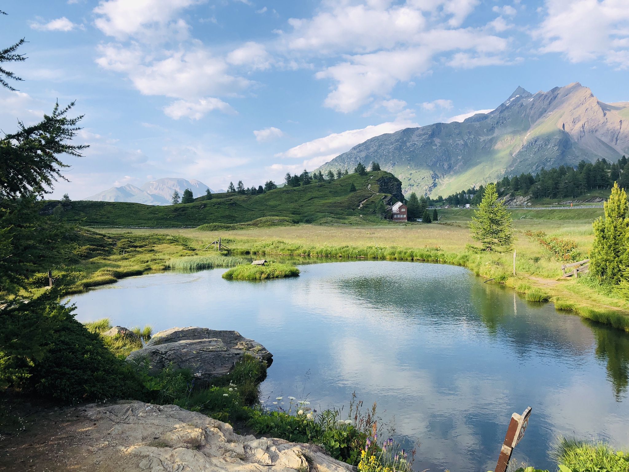
The closest place to the sun in Switzerland – multiday Tours in Valais
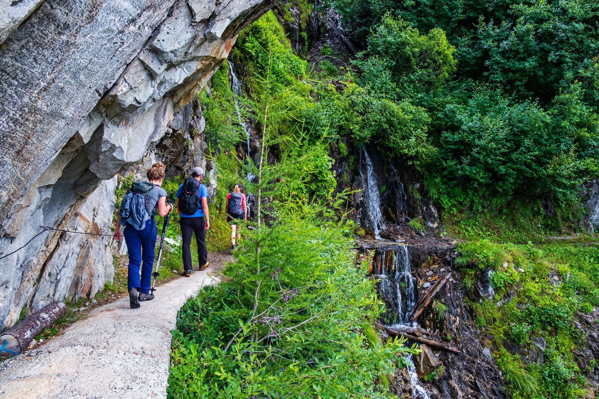
Passes, lakes and alpine huts in Switzerland – discover the Valais
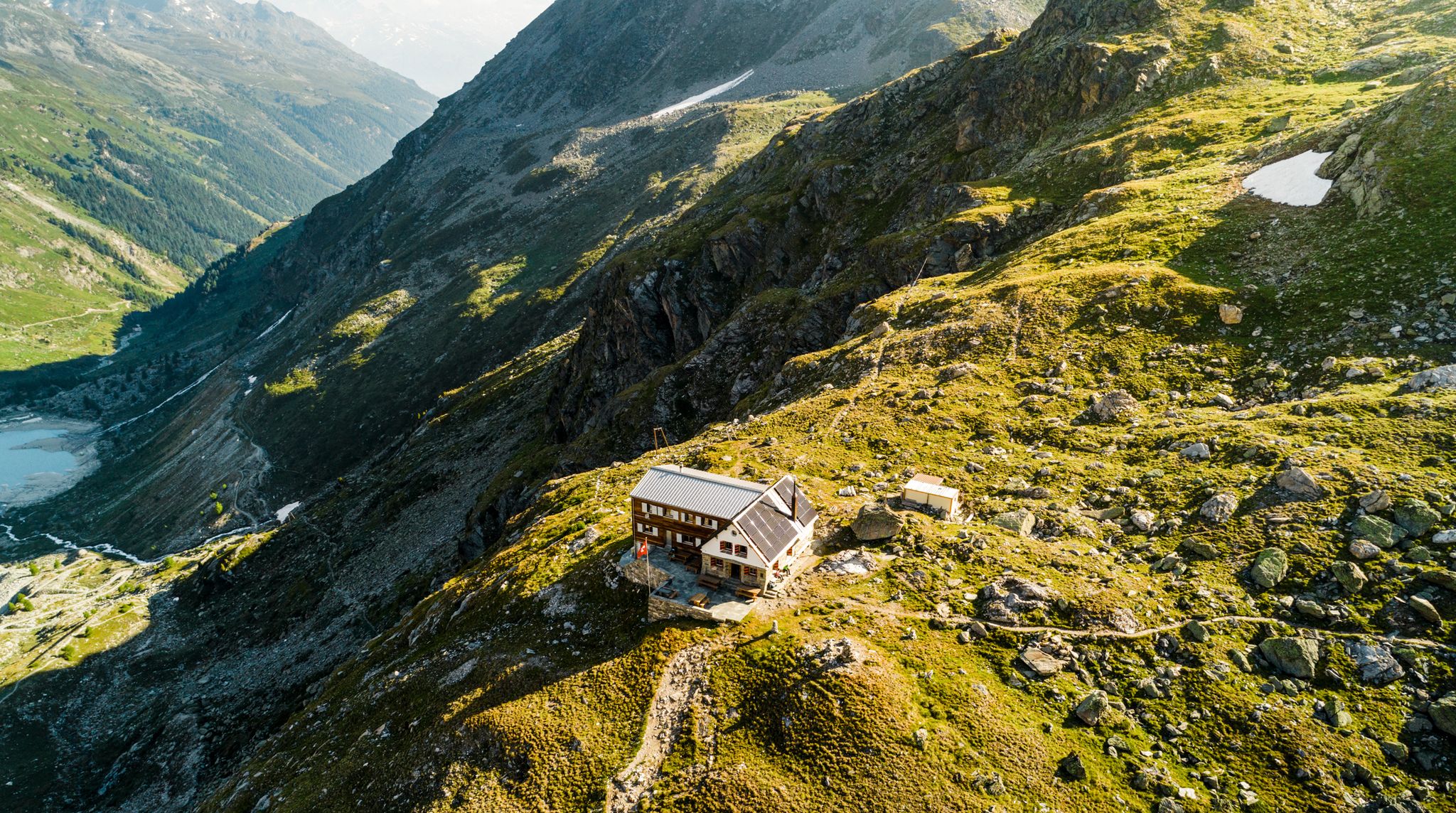
Valais — Making the mountain your home
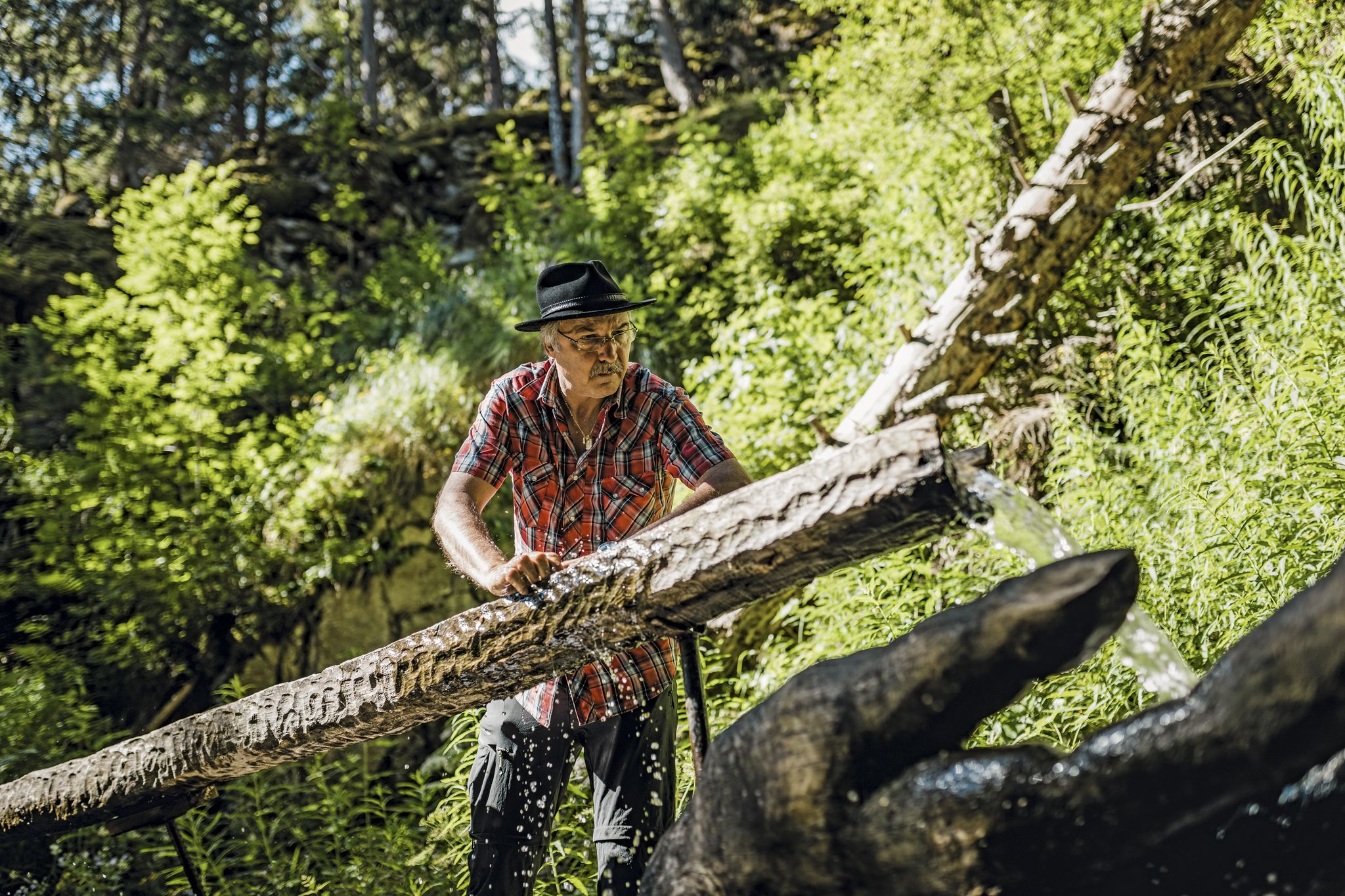
Liquid gold from Nendaz-Veysonnaz
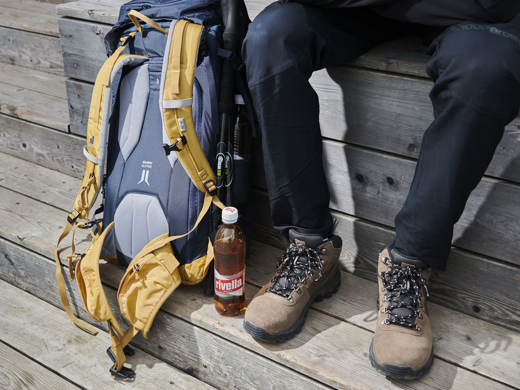
Gipfelgenuss im goldenen Licht – Herbstwandern mit rivella
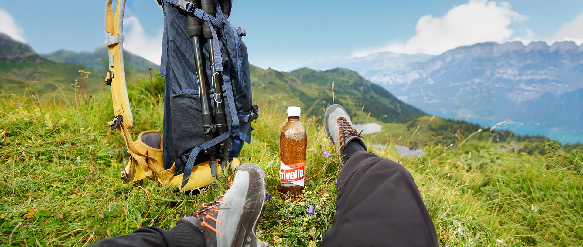
Wandergenuss für alle Sinne – Mit rivella in die Berge
Other adventures around Conthey


Tips from the Community

The cowbell game (Carillon de cloches) is one of the most popular interactive stations on the Eringer adventure trail on Alp Tortin above Siviez. It playfully conveys the deep-rooted tradition of the Valais alpine economy. What awaits you at the carillon Bell chords: At the station, a series of real Swiss cowbells of different sizes are hung side by side. Each bell produces its own unique, unmistakable tone due to its individual size and forging shape. Make music yourself: Children and adults can get active with the help of mallets and strike up their own melodies on the bells. It works like a wooden carillon (xylophone) in XXL format, right in the middle of nature. The learning effect: The post clearly explains that the powerful bells are far more than just tradition for the Eringer cows. They serve as an "acoustic GPS" for the alpine farmers in the mountains to quickly find lost animals in fog or difficult terrain.
0
0

The Vieux water channel runs alongside a stone staircase. This ingenious section of the water channel allowed the water to continue flowing down to the valley. Here you will find a hand-shaped sculpture, signed Raphaël Pache. This hand receives the water and lets it flow between its fingers to return it to the stream. The sculpture thus suggests that water is only borrowed from the mountain and that we must therefore respect it.
0
0
Pra da Dzeu is a dialect name meaning "meadow in the forest." This place is magical in all seasons. The view, the ancient larches, and the imperturbably calm meadow make it a unique place where it is always pleasant to walk.
1
0

The Cleuson Dam rises with its pronounced curves, creating a stunning backdrop to the Alpine landscape. As you reach the top, take the time to admire the turquoise waters held back by the imposing dam structure, which contrasts beautifully with the rugged mountainous surroundings. The view over the Val de Nendaz is simply spectacular and the effort of the climb is well worth it.
0
0
The Bisse du Milieu trail is a fantastic hiking route that takes you along an ancient irrigation channel, known as a "bisse", which has been carefully maintained for centuries. As you walk, you will follow the watercourse through lush vegetation and rugged terrain, with breathtaking views of the surrounding mountains and valleys.
0
0

Ski resort of Siviez at 1,700m altitude, its the highest village belonging to Nendaz. You can cycle all the way up, enjoying the views of the Swiss Valais!
0
0

Along this Saxon Bisse you will find magnificent larch trees, some of which are claimed to be the oldest in Europe.
0
0

Beautiful hiking trail, the path is also good for me to walk the children.
0
0
Frequently Asked Questions
How many bus station hiking trails are available around Conthey?
Conthey offers a wide variety of hiking trails accessible directly from bus stations. There are over 100 routes to choose from, catering to all skill levels, from easy strolls through the Rhône Valley to challenging alpine treks.
What types of landscapes can I expect on bus-accessible hikes in Conthey?
The region boasts incredibly diverse landscapes. You can hike through lush vineyards in the Rhône Valley, follow historic irrigation channels known as 'bisses', explore pristine valleys like Derborence with its beautiful lake, or ascend to high alpine environments offering panoramic views of peaks and glaciers.
Are there any easy, family-friendly hikes accessible by bus in Conthey?
Yes, Conthey has several easy routes suitable for families. Many sections of the historic bisses trails, such as the Bisse du Milieu loop from Conthey, offer relatively flat paths through scenic landscapes. The Rhône Valley also provides gentle walks perfect for all ages.
What are some notable natural attractions or viewpoints along these trails?
You'll find numerous points of interest. The Cleuson Dam and Lake is a stunning highlight, accessible via routes like the Lac de Cleuson loop from Siviez. The Derborence Valley, with its serene Lac de Derborence, is another natural gem. For breathtaking panoramas, consider trails leading towards the Mont Rouge Summit or the distinctive Quille du Diable near the Tsanfleuron Glacier.
Are there any circular hiking routes from bus stations in Conthey?
Absolutely. Many trails are designed as loops, allowing you to start and end at the same bus stop. For example, the Bisse du Milieu loop from Conthey is a popular moderate option. Another scenic loop is the Lac de Cleuson loop from Siviez, offering stunning lake views.
What is the best time of year to hike around Conthey?
The best time largely depends on the altitude you plan to hike. The lower valley trails and bisses are enjoyable from spring through autumn. For higher alpine routes, late spring to early autumn (June to September) offers the most favorable conditions, with less snow and more stable weather. Always check local weather and trail conditions before heading out.
Can I bring my dog on the bus-accessible hiking trails in Conthey?
Many trails in the Conthey region are dog-friendly, especially those in the lower and mid-altitudes. However, it's always advisable to keep your dog on a leash, particularly in nature reserves, agricultural areas, or where livestock may be present. Check specific trail regulations if you plan to visit protected areas.
What do other hikers enjoy most about hiking in Conthey?
The area is highly rated by the komoot community, with an average score of 4.6 stars from over 4,300 ratings. Reviewers often praise the stunning variety of landscapes, from vineyards to glaciers, the well-maintained bisses trails, and the accessibility of many routes via public transport, making it easy to explore the region's natural beauty.
Are there any trails that feature waterfalls or unique water features?
Yes, the historic bisses trails are known for their ingenious water channels. The "Cascade du Bisse Vieux" is a notable spot where a waterfall flows along a stone staircase, featuring a unique hand-shaped sculpture. These trails offer a fascinating blend of natural beauty and historical engineering.
Are there any challenging bus-accessible hikes for experienced hikers?
For experienced hikers, Conthey offers more demanding routes that can be reached via bus connections to higher starting points. These often involve significant elevation gains and longer distances, leading to alpine summits or multi-day treks. Always ensure you have appropriate gear and experience for such challenging routes.
What are 'bisses' and why are they popular for hiking in Conthey?
Bisses are historic irrigation channels unique to Valais, Switzerland, used for centuries to transport water to dry fields and vineyards. They are popular for hiking because the paths alongside them are generally relatively flat and follow the contours of the land, offering accessible and scenic walks through diverse landscapes, often with gentle gradients.
Most popular routes around Conthey
Most popular attractions around Conthey

Get inspired with the komoot mobile app


Didn’t find what you were looking for?
Check out more Hikes throughout Conthey below and find the perfect route in your destination.
Explore more
Browse the best Hikes in other regions.
