The best traffic-free bike rides around Wolfenschiessen
4.6
(41)
333
riders
14
rides
Gravel biking around Wolfenschiessen offers varied terrain through the scenic vistas of Nidwalden, Switzerland. The region features pristine mountain landscapes, lush meadows, and alpine and forest areas, providing a mix of paved roads, forest paths, and unpaved tracks. Routes often include moderate climbs and descents, with specific gravel paths found along the Engelberger Aa river. This diverse environment makes Wolfenschiessen suitable for no traffic gravel bike trails, catering to different skill levels.
Best no traffic gravel bike trails around Wolfenschiessen
…Last updated: May 16, 2026
3.0
(2)
16
riders
42.7km
04:05
1,360m
1,360m
Hard gravel ride. Very good fitness required. Mostly paved surfaces. Suitable for all skill levels.
4.5
(4)
16
riders
35.5km
03:27
1,250m
1,250m
Hard gravel ride. Very good fitness required. Mostly paved surfaces. Suitable for all skill levels.

Sign up for free
5.0
(3)
24
riders
20.8km
01:36
440m
440m
Moderate gravel ride. Good fitness required. Mostly paved surfaces. Suitable for all skill levels.
5.0
(3)
19
riders
17.8km
01:29
450m
450m
Moderate gravel ride. Good fitness required. Mostly paved surfaces. Suitable for all skill levels.
24
riders
32.7km
01:45
280m
280m
Moderate gravel ride. Good fitness required. Mostly paved surfaces. Suitable for all skill levels.
Get access to more routes and recommendations from other explorers.
Sign up for free
Already have an account?
Our route recommendations are based on thousands of hikes, rides, and runs completed by other people on komoot.
Start today with a free account
Your next adventure awaits.
Login or Signup
Popular around Wolfenschiessen
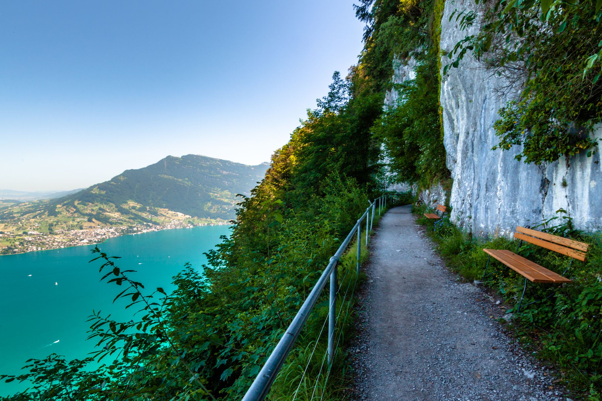
Utterly refreshing – 9 watery hikes in Nidwalden
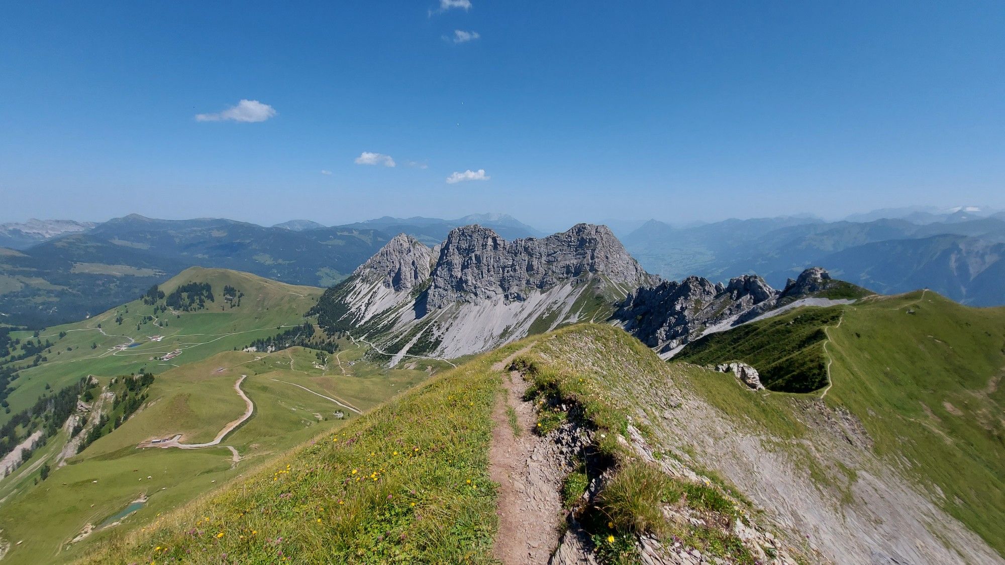
Great views and lake landscapes – Obwalden High Trail
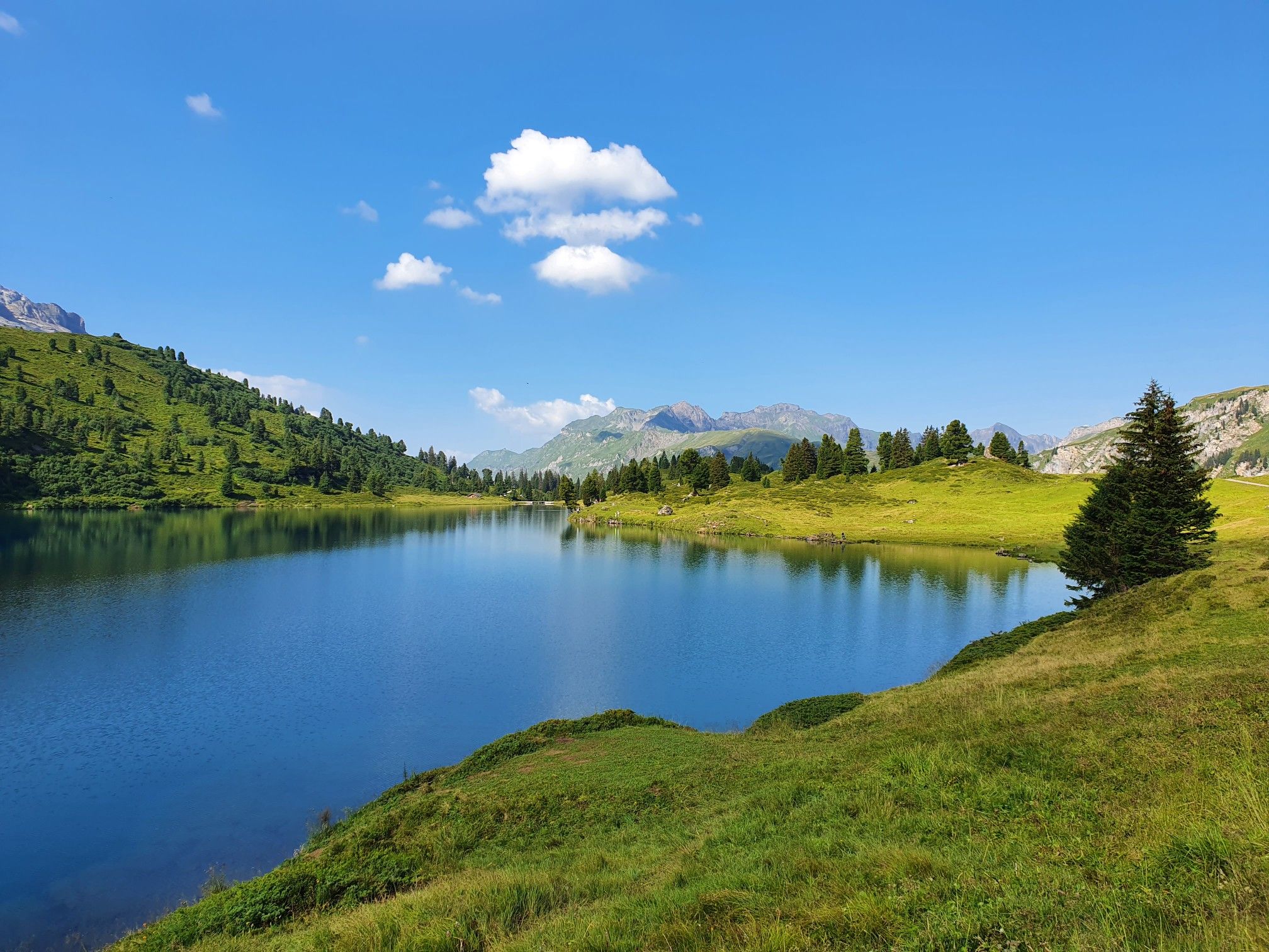
Pure variety on Switzerland’s picturesque Nidwalden Höhenweg
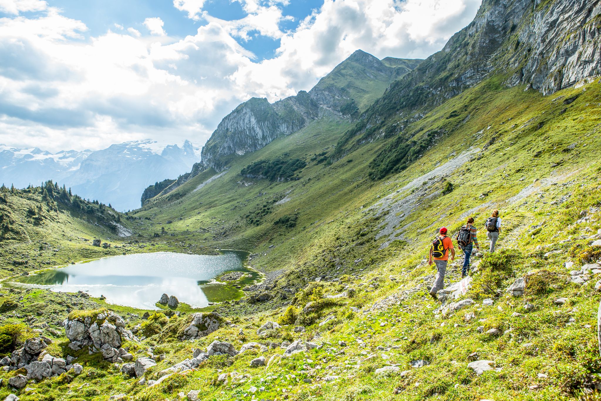
Hikes around Lucerne – the Blogger Hike Challenge 2019
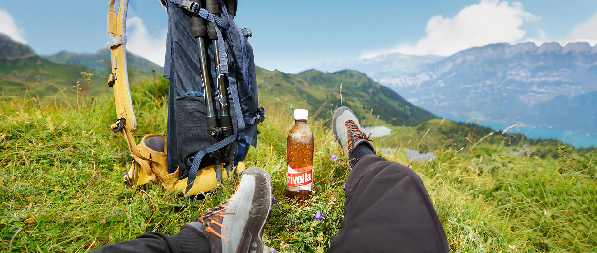
Wandergenuss für alle Sinne – Mit rivella in die Berge
Traffic-free bike rides around Wolfenschiessen
Traffic-free bike rides around Wolfenschiessen
Other adventures around Wolfenschiessen


Tips from the Community


The eastern slope of the Glaubenberg Pass offers wonderful views time and again – better enjoyed on the ascent than on the descent!
0
0
The eastern approach to Glaubenberg is much more developed than the northwest approach from Entlebuch. From Sarnen via Stalden, the road is a good two-lane and wide, with a mostly moderate gradient.
0
0

Autumn is one of the best times to do the Glaubenberg Pass when the lower part of Lucerne is under a heavy fog cover, it is a nice climb to view the sun and also a great natural spectacle with sea of fog and only the peaks are showing from all of the nearby mountains. Avoid the climbing the eastern part from Sarnen on the weekends. The traffic is very heavy. During the weekdays, the climb has significantly less traffic. The climb from the west side of Glaubenberg is a lot easier.
0
0
A magnificent climb to the Glaubenberg Pass, the road is excellent asphalted surface but do not approach from the Eastern side on the weekends. This side of the pass has very heavy weekend traffic that has one constantly looking back. The road is narrow which also contributes to the cars coming close, as they have no other option. Only do this during the week
0
0


Wonderfully made, everything is very natural😊
0
0

First, the climb, then a gentle up and down to Bürgenstock. Be careful, there's a short push section at Bürgenstock. You'll always have a different view. Be careful, there's a short tunnel that's not lit, so don't forget your lights.
0
0
Frequently Asked Questions
How many no-traffic gravel bike trails are available around Wolfenschiessen?
There are 14 dedicated no-traffic gravel bike trails around Wolfenschiessen, offering a variety of experiences for different skill levels. You'll find routes ranging from moderate to difficult, ensuring a suitable challenge for most gravel bikers.
What kind of terrain can I expect on these traffic-free gravel routes?
The terrain around Wolfenschiessen is diverse, featuring a mix of pristine mountain landscapes, lush meadows, and forest paths. Routes often follow tranquil rivers like the Engelberger Aa, providing varied surfaces from unpaved tracks to smoother sections suitable for gravel bikes. Expect moderate climbs and descents as you explore the alpine and forest areas.
Are there any family-friendly no-traffic gravel bike routes in the area?
While many routes in the region feature moderate to difficult grades, some sections or shorter loops can be suitable for families. For a generally less strenuous option, consider the Thread Bridge loop from Buochs, which is rated moderate and offers a pleasant ride. Always check the route details for elevation and surface conditions to ensure it matches your family's abilities.
Can I bring my dog on the gravel bike trails around Wolfenschiessen?
Many trails in the Wolfenschiessen region are dog-friendly, especially those through forests and meadows. However, it's always best to check local regulations for specific routes and ensure your dog is well-behaved and on a leash where required. Remember to carry water for your dog and be mindful of other trail users.
What are some notable landmarks or viewpoints along the no-traffic gravel routes?
The region offers stunning natural beauty and interesting sights. While riding, you might encounter views of the majestic Stanserhorn Summit or the dramatic Titlis Cliff Walk Suspension Bridge in the distance. Routes like the Rest area with barbecue spot – Engelberger Aa Trail loop from Stans offer pleasant riverside scenery and potential rest stops.
What is the best time of year for gravel biking in Wolfenschiessen to avoid traffic?
The best time for gravel biking in Wolfenschiessen is typically from late spring to early autumn (May to October). During these months, the weather is generally favorable, and the trails are clear of snow. To truly avoid traffic, consider riding on weekdays or earlier in the mornings on weekends, as these times tend to be quieter even on popular routes.
Are there any circular gravel bike routes available?
Yes, many of the gravel bike routes around Wolfenschiessen are designed as loops, allowing you to start and end at the same point. Examples include the Schwendi-Kaltbad – Wichelsee loop from Sarnen and the Stans Town Centre loop from Stans. These circular routes are convenient for planning your day and offer diverse scenery throughout your ride.
How can I access the gravel trails using public transport?
Wolfenschiessen is well-connected by public transport, primarily by train and bus services. You can often reach trailheads or starting points of routes from the Wolfenschiessen train station or nearby bus stops. It's advisable to check the local public transport schedules and bike carriage policies before you travel, especially for longer routes or those starting further afield.
Where can I find parking for gravel biking in the Wolfenschiessen area?
Parking is generally available in and around Wolfenschiessen, often near train stations, village centers, or designated outdoor activity hubs. For example, if you're starting a route near Stans, there are parking options in the town. Always look for official parking areas and be mindful of any parking fees or restrictions.
What do other gravel bikers say about the no-traffic routes in Wolfenschiessen?
The gravel biking experiences around Wolfenschiessen are highly rated by the komoot community, with an average score of 4.56 stars. Reviewers often praise the stunning natural beauty, the tranquility of the car-free paths, and the varied terrain that makes for an engaging ride. Many appreciate the opportunity to explore the Swiss Alps away from vehicular traffic.
Are there any cafes or restaurants along the traffic-free gravel routes?
While many of the routes venture into more secluded natural areas, you'll find cafes, restaurants, and accommodation options in the main towns and villages like Wolfenschiessen, Stans, and Buochs. It's a good idea to plan your route to pass through these areas for refreshment stops or to carry sufficient snacks and drinks, especially on longer rides.
Do I need a special permit for gravel biking in Switzerland?
Generally, you do not need a special permit for gravel biking on public trails and roads in Switzerland. However, it's important to respect private property, follow local signage, and adhere to any specific rules for nature reserves or protected areas. Always stay on marked paths and be considerate of hikers and other trail users.
Most popular routes around Wolfenschiessen
Most popular attractions around Wolfenschiessen

Get inspired with the komoot mobile app


Explore more
Browse the best Gravel rides in other regions.
