The best hikes from bus stations in Waterford
4.5
(606)
4,515
hikers
14
hikes
Hiking in Waterford offers diverse landscapes, from the rugged Comeragh and Knockmealdown Mountains to the dramatic coastline of the Copper Coast Geopark. The region features extensive woodlands, serene river valleys, and a wild Atlantic shoreline. These varied terrains provide a range of bus station hiking trails suitable for different abilities, including former railway lines adapted for walking.
Best bus station hiking trails in Waterford
- The most popular bus station hiking route is Dungarvan to Ballyvoyle Viaduct run, a 10.8…
Last updated: August 10, 2026
5.0
(2)
4
hikers
17.4km
04:29
80m
80m
Moderate hike. Good fitness required. Easily-accessible paths. Suitable for all skill levels.
4.0
(1)
5
hikers
5.87km
01:40
130m
140m
Easy hike. Great for any fitness level. Easily-accessible paths. Suitable for all skill levels.

Sign up for free
6.23km
01:35
10m
10m
Easy hike. Great for any fitness level. Easily-accessible paths. Suitable for all skill levels.
25
hikers
5.53km
01:24
10m
10m
Easy hike. Great for any fitness level. Easily-accessible paths. Suitable for all skill levels.
4.8
(6)
16
hikers
2.64km
00:41
10m
10m
Easy hike. Great for any fitness level. Easily-accessible paths. Suitable for all skill levels.
Get access to more routes and recommendations from other explorers.
Sign up for free
Already have an account?
Our route recommendations are based on thousands of hikes, rides, and runs completed by other people on komoot.
Start today with a free account
Your next adventure awaits.
Login or Signup
Popular around Waterford
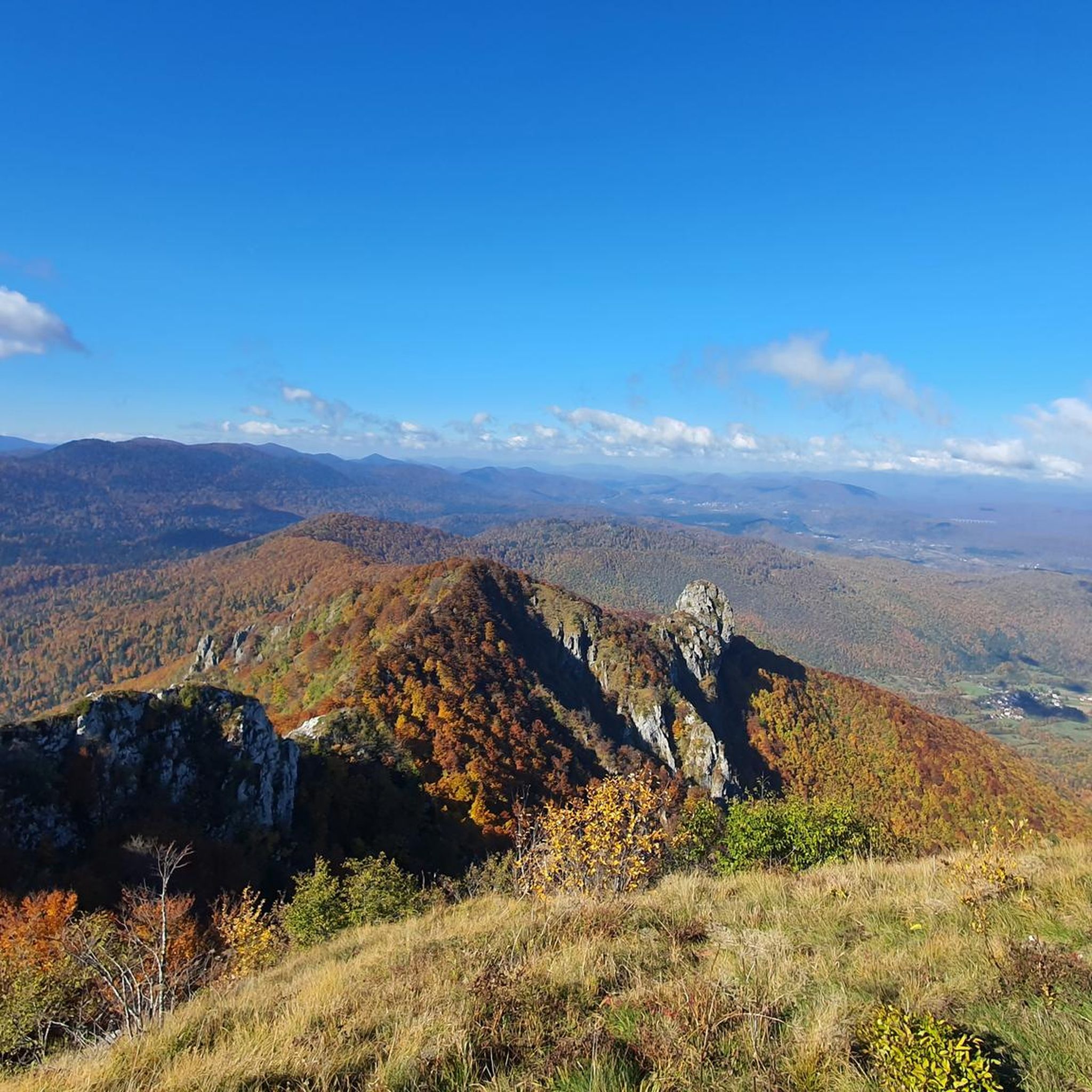
Hikes from bus stations around The Municipal District of Dungarvan — Lismore

Hikes from bus stations around The Municipal District of Comeragh

Hikes from bus stations around Waterford City
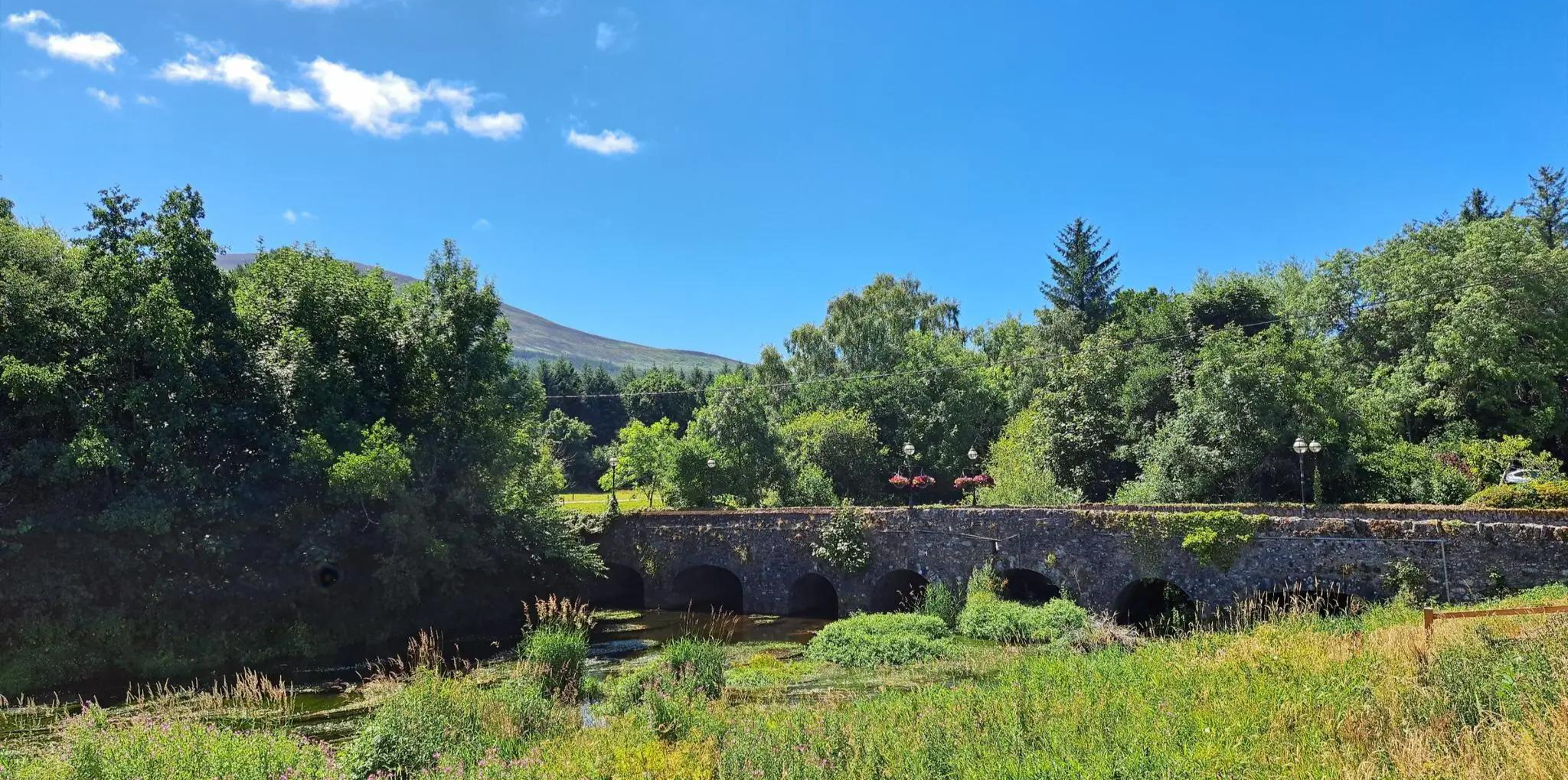
East Munster Way – Hiking the beautiful Suir, woodland and historic foothills

Follow the water - Along Ireland's rivers and lakes
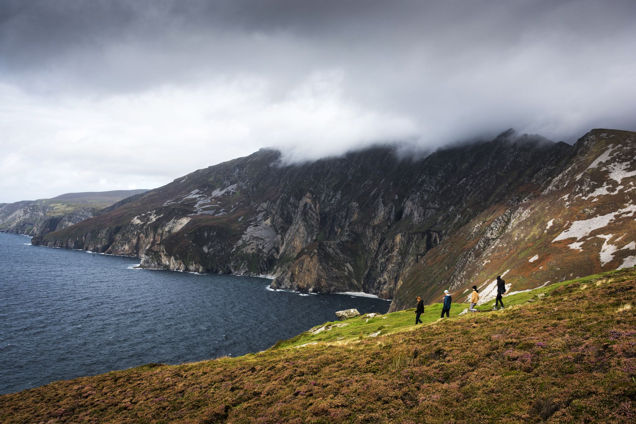
Hike Ireland's coast: cliffs, waves and wonderful wide beaches
Awaken your spirit of discovery — family-friendly walks in Ireland

Ireland's blue rivers and lakes – walks along the water

Between waves and peaks — to the best views in Ireland
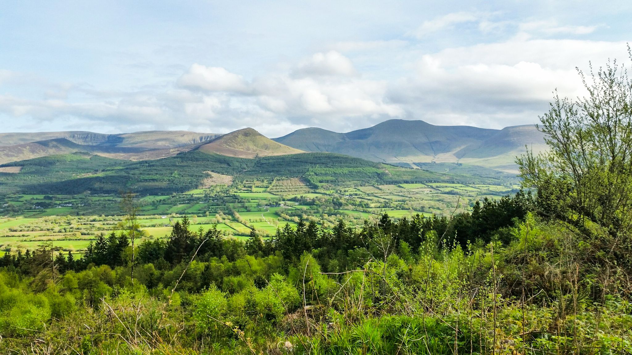
Hiking through the heart of the Emerald Isle – discover central Ireland
Other adventures in Waterford


Tips from the Community

A sandy, 3-mile (5-km) stretch of beach, Passage East Strand is a lovely place to relax or enjoy a stroll. Situated on Waterford Harbour, the estuary of the rivers Barrow and Suir, it's a fine place to watch large vessels being guided through the waters by the Suir River Pilot Service.
0
0
This is the ruin of a fort built in the 16th century, captured by Cromwell in 1649 and later abandoned in the early 18th century. Today, what remains stands by the playground and beach in Passage East.
0
0
A scenic little harbour on Waterford Harbour, you can take the ferry from here across to Ballyhack and explore its 15th-century Norman castle. Alternatively, a stroll along Passage East Strand is a lovely way to spend an hour or so.
0
0

View from the Colligan dam (Dungarvan) Quiet viewpoint on the low dam over the Colligan river, with open views of Dungarvan Bay, the tidal flats and the edge of town. An atmospheric, watery transition between Dungarvan and the coastal segment of the Greenway.
7
0
Ballyvoyle Viewpoint (above the Greenway) Open viewpoint on a hilltop above Ballyvoyle, with panoramic views towards Clonea Strand and Dungarvan Bay. A quiet, natural stop just off the Greenway, where the landscape opens from forest to coast.
9
0
Monumental 19th-century railway viaduct spanning the Mahon Valley. An iconic photo spot directly after the Ballyvoyle Tunnel, with broad views and a strong mix of nature and railway heritage.
7
0

This beach near Stradbally gives you a perfect spot to relax a bit during your activity.
0
0
Stradbally is a charming small village in County Waterford, located on the scenic Copper Coast road and distinguished by its neat thatched and slated cottages. The village has deep medieval roots dating to 1215, when King John granted custody of Waterford to Thomas fitz Anthony, who established Stradbally as an important medieval town. Today, it retains its historic character while winning numerous awards in the National Tidy Towns competition, making it a picturesque destination in southeastern Ireland's coastal region.
0
0
Frequently Asked Questions
How many hiking trails are accessible from bus stations in Waterford?
There are over 25 hiking trails in Waterford that are easily accessible from bus stations, offering a variety of experiences from easy strolls to more challenging routes. These trails are curated to ensure convenient public transport access.
Are there easy hiking trails reachable from Waterford bus station?
Yes, Waterford offers several easy hiking trails accessible by bus. For a gentle coastal experience, consider the Stradbally loop, which is an easy 5.8 km walk. Another accessible option is the Lagoon View loop from Tramore, a flat 5.5 km route perfect for a relaxed outing.
What challenging hikes can I access via public transport from Waterford city?
While many of the most challenging mountain routes in the Comeraghs might require a car, some moderate trails are still bus-accessible. The Gurteen Wood Loop offers a moderate 6.9 km hike with some elevation gain. For a longer, moderate coastal experience, the Dungarvan to Ballyvoyle Viaduct run on the Waterford Greenway provides a 17.4 km journey with minimal elevation but significant distance.
Are there circular walks available from bus-accessible points?
Yes, several bus-accessible routes are circular. The Gurteen Wood Loop and the Stradbally loop are both excellent circular options. Additionally, the Lagoon View loop from Tramore offers a pleasant circular walk around the lagoon.
Are there any trails with waterfalls accessible by bus?
While the majestic Mahon Falls in the Comeragh Mountains is a highlight, direct bus access to its trailhead can be limited. However, you can still experience the beauty of Waterford's natural monuments. The Mahon Falls itself is a spectacular 80-meter waterfall, especially impressive after rain. For more information on natural attractions, you can explore the Natural Monuments in Waterford guide.
Can I find trails with good views near Waterford bus station?
Absolutely. Many trails offer stunning vistas. Coastal walks like the Stradbally loop provide panoramic sea views. For mountain scenery, while direct bus access to the highest peaks is limited, you can still find routes that offer glimpses of the Comeragh Mountains' beauty, including views of glacial lakes like Coumshingaun Lough from certain vantage points.
Are there family-friendly hiking options from Waterford bus station?
Yes, Waterford has several family-friendly options. The Waterford Greenway, accessible from various points by bus, offers largely paved, gentle gradients suitable for all ages. Shorter loops like the Lagoon View loop from Tramore are also excellent for families. Many local woodlands, such as Lismore Woodlands, also provide easy, meandering paths.
What about dog-friendly trails accessible from Waterford bus station?
Many of Waterford's trails are dog-friendly, provided dogs are kept on a lead and owners clean up after them. The Waterford Greenway is a popular choice for dog walkers. Woodland trails and coastal paths, including the Stradbally loop, generally welcome dogs. Always check local signage for specific restrictions, especially in nature reserves or protected areas.
What natural attractions can I see along bus-accessible hiking routes in Waterford?
Waterford's bus-accessible routes can lead you to diverse natural beauty. You might encounter stunning coastal formations along the Copper Coast, or serene woodlands. Highlights include the impressive Mahon Falls (though access might require a short taxi ride from the nearest bus stop), and various lakes such as Lough Mohra. For more details, explore the Lakes in Waterford guide and the Natural Monuments in Waterford guide.
Are there any historical or cultural points of interest on these trails?
Yes, Waterford's trails often weave through areas rich in history. The Copper Coast, for instance, features remnants of its mining heritage. Coastal walks like the Ardmore Cliff Walk (accessible via bus to Ardmore) offer historical sites such as St. Declan's Well and a Napoleonic-era look-out post. The Waterford Greenway itself follows a historic railway line, passing through old viaducts and tunnels. The Youghal Clock Gate Tower – Youghal Beach Boardwalk loop also offers a glimpse into local history.
What do other hikers enjoy the most about hiking in Waterford?
The komoot community highly rates the trails in Waterford, with an average score of 4.5 stars. Reviewers often praise the region's diverse landscapes, from rugged coastlines to serene woodlands, and the well-maintained paths, especially along the Waterford Greenway. The stunning views and the variety of routes catering to different fitness levels are frequently highlighted.
What's the best time of year to hike in Waterford?
Waterford offers great hiking opportunities year-round. Spring (April-May) brings blooming wildflowers and mild temperatures. Summer (June-August) is ideal for longer days and coastal walks, though trails can be busier. Autumn (September-October) provides beautiful foliage and comfortable hiking weather. Winter (November-March) can be crisp and clear, but be prepared for colder temperatures, potential rain, and shorter daylight hours, especially in exposed mountain areas.
Are there any specific considerations for winter hiking in Waterford?
When hiking in Waterford during winter, be prepared for changeable weather. Coastal paths can be exposed to strong winds, and mountain trails may be wet and muddy. Always wear waterproof and warm layers, sturdy hiking boots, and carry a headlamp due to shorter daylight hours. Check local weather forecasts before heading out. While many trails remain accessible, some higher or more exposed routes might require extra caution.
Where can I find more information about walking and hiking trails in Waterford?
For additional information and inspiration on walking and hiking trails throughout the region, you can visit the official tourism website: visitwaterford.com/activity-category/trails. They also have a list of top trails: visitwaterford.com/top-25-walking-and-hiking-trails-to-explore-in-waterford-in-2025.
Most popular routes in Waterford
Most popular attractions in Waterford

Get inspired with the komoot mobile app


Didn’t find what you were looking for?
Check out more Hikes throughout Waterford below and find the perfect route in your destination.
