The best family-friendly hikes and walks in Genoa
4.5
(17018)
79,792
hikers
1,547
hikes
Family friendly hiking trails in Genoa are set amidst a diverse landscape, characterized by the Ligurian Sea to the south and the Apennine Mountains to the north. The region features a blend of coastal paths, Mediterranean forests, and hills, offering varied terrain for outdoor activities. Hikers can explore areas with steep slopes dropping into the sea, as well as inland routes through oak and holm forests. This unique geography provides a range of elevation changes and scenic viewpoints.
Best family friendly hiking trails in Genoa
- The most popular family friendly hiking route is Portofino Lighthouse Trail, a 1.6 miles (2.6 km) trail that takes about 45 minutes to complete. This easy path offers scenic coastal views to the iconic lighthouse.
- Another top favourite among local hikers is Liguria Trail - Stage 10, a moderate 4.3 miles (6.9 km) path. This route winds through varied terrain with views of the surrounding hills and takes approximately 2 hours 33 minutes.
- Local hikers also love the I2 - Valbisagno Loop, a 7.6 miles (12.3 km) trail leading through forests and offering panoramic views over the city, often completed in about 3 hours 53 minutes.
- Hiking in Genoa is defined by coastal paths, Mediterranean forests, and hills, with options for different ability levels. The network includes routes suitable for easy walks with kids and more challenging trails.
- The routes in Genoa are highly rated by the komoot community with an average score of 4.5 stars from more than 14,500 reviews. More than 69,000 hikers have used komoot to explore Genoa's varied terrain.
Last updated: July 11, 2026
4.7
(210)
1,176
hikers
6.95km
02:33
300m
300m
Embark on Stage 10 of the Liguria Trail, a moderate hiking route that offers a challenging yet rewarding experience through varied terrain. You will cover 4.3 miles (6.9 km) with an elevation gain of 993 feet (303 metres), typically taking about 2 hours and 32 minutes to complete. The path winds through Mediterranean scrubland and chestnut forests, featuring both concrete stairways and gravel paths. As you hike, you will be treated to panoramic views of the Gulf of Genoa and the Ligurian coastline. Look out for the scenic Punta Chiappa, where the blue sea beautifully contrasts with the green vegetation.
This stage of the Liguria Trail is considered moderate, but it involves strenuous ups and downs, so good fitness is essential. It is not recommended for beginners due to the demanding nature of the route. Be aware that some coastal sections can be tricky, and if you choose harder alternative paths, you might need to use chains for safety. You will find useful amenities like water taps and picnic areas at points such as Gaixella and Pietre Strette, which can help you plan your breaks.
This particular stage of the Liguria Trail is set within the beautiful Portofino Nature Park, offering a unique blend of natural beauty and physical challenge. The route constantly provides a beautiful interplay between the deep blue sea and the lush green vegetation, making it a memorable journey. You will encounter highlights like the stunning View of Portofino Bay and the Castle, adding cultural and historical interest to your hike. This trail is a great way to experience the diverse landscapes of the Ligurian coast.
4.6
(303)
869
hikers
12.3km
03:53
410m
410m
Embark on the I2 - Valbisagno Loop, a moderate hiking route that takes you through Genoa's historic hills and offers sweeping views of the Val Bisagno valley and the sea. This 7.6-mile (12.3 km) journey involves a climb of 1354 feet (413 metres) and typically takes around 3 hours and 53 minutes to complete. As you hike, you'll experience a blend of natural beauty and historical landmarks, passing through open fields and meadows scented with Mediterranean plants. From the Righi Observatory, you can enjoy panoramic vistas of Genoa and its bustling port, making for a rewarding outdoor experience.
While generally accessible, some parts of the trail feature larger rocks or steeper inclines, so make sure you are sure-footed. Parking is usually available in the Righi district, which is a well-known spot for outdoor activities. If you prefer public transport for your return, the Zecca–Righi Funicular station offers a convenient way back to the city center after your hike. Plan your visit to allow ample time to enjoy the varied terrain and views.
This route is nestled within Genoa's Parco Urbano delle Mura, an urban park known for its ancient fortifications. The trail allows you to explore sections of the Mura di Genova, historic stone walls that once protected the city. You'll gain a unique perspective on the region's past while enjoying the natural environment. The combination of historical significance and scenic overlooks makes this loop a distinctive outing in the area.

Sign up for free
4.7
(123)
797
hikers
17.7km
05:11
470m
470m
Embark on Liguria Trail - Stage 9, a challenging hike spanning 11.0 miles (17.7 km) with an elevation gain of 1530 feet (466 metres). You can expect this route to take around 5 hours and 10 minutes to complete. As you traverse the path, you will experience the beautiful Tigullio Gulf and catch glimpses of the distinctive Portofino Promontory, winding through ancient olive groves and charming hamlets.
This stage connects several coastal towns, making public transport a convenient way to access the trail. While specific trailhead parking details are not provided, you can generally find parking options within the towns along the route. There are no special permits or fees mentioned for this section of the trail, allowing for straightforward planning.
The route is part of the larger Sentiero Liguria, notable for linking picturesque coastal communities. You will hike through the Parco Naturale Regionale di Portofino, a protected area rich in natural beauty. Keep an eye out for historical landmarks like Rapallo Castle and the scenic Vittorio Veneto Seafront in Rapallo as you make your way along this memorable coastal journey.
4.6
(87)
464
hikers
14.1km
06:04
920m
910m
The Route Camogli – Batterie – San Fruttuoso is a difficult hike through the Portofino Regional Natural Park, offering grand coastal views. You will cover 8.7 miles (14.1 km) with a significant elevation gain of 3017 feet (919 metres), taking around 6 hours and 3 minutes to complete. The trail winds through Mediterranean flora and olive groves, revealing sights like Punta Chiappa and the historic Doria Tower, all while presenting a demanding, rocky terrain with steep sections.
This challenging route is best for experienced hikers, as it involves exposed sections and slippery rocks above steep drop-offs. You will need good hiking boots with excellent grip. Be aware that parts of the trail, like the Passo del Bacio, may be temporarily closed, and it is not recommended if you suffer from vertigo. Many hikers choose to take a ferry back from San Fruttuoso, the trail's destination.
Along the way, you will encounter the Batterie, historic World War II defensive complexes with panoramic views over the Gulf of Camogli. The hike culminates at the beautiful San Fruttuoso Abbey, a Benedictine monastery from the year 1000 nestled on a small pebbly beach. For a less demanding option, an inland trail via Pietre Strette offers an alternative, though it is less spectacular.
4.7
(86)
632
hikers
11.8km
05:05
870m
870m
This is a difficult hike from Camogli to San Fruttuoso, covering 7.3 miles (11.8 km) with a significant elevation gain of 2846 feet (867 metres). You can expect to spend around 5 hours and 4 minutes on the route. The trail offers a varied experience, starting from the charming coastal town of Camogli and leading you through lush chestnut forests on the slopes of Monte Portofino. Along the way, you'll encounter unique geological formations at Pietre Strette and enjoy expansive views of the turquoise sea. The descent into San Fruttuoso provides a memorable glimpse of the ancient Basilica nestled in its secluded bay.
Accessing the trailhead in Camogli is convenient; you can take the train directly to Camogli station, which is located close to the starting point. If you prefer to drive, parking is available at the Gulliver car park for €2 per hour. Remember that San Fruttuoso is only reachable on foot or by ferry, as there are no roads leading to the abbey and beach. Plan your visit to allow ample time for the challenging ascent and descent.
This route follows Trail 101, a historic path that connects the vibrant fishing village of Camogli with the secluded cove of San Fruttuoso. The trail is part of the larger Monte Portofino area, known for its dramatic coastal landscapes and rich biodiversity. You will pass by the touching Monument to the Faithful Dog, a unique feature that adds a layer of local history to your journey. This hike offers a distinct perspective on the Ligurian coast, blending natural beauty with cultural heritage.
Get access to more routes and recommendations from other explorers.
Sign up for free
Already have an account?
Our route recommendations are based on thousands of hikes, rides, and runs completed by other people on komoot.
Start today with a free account
Your next adventure awaits.
Login or Signup
Popular around Genoa
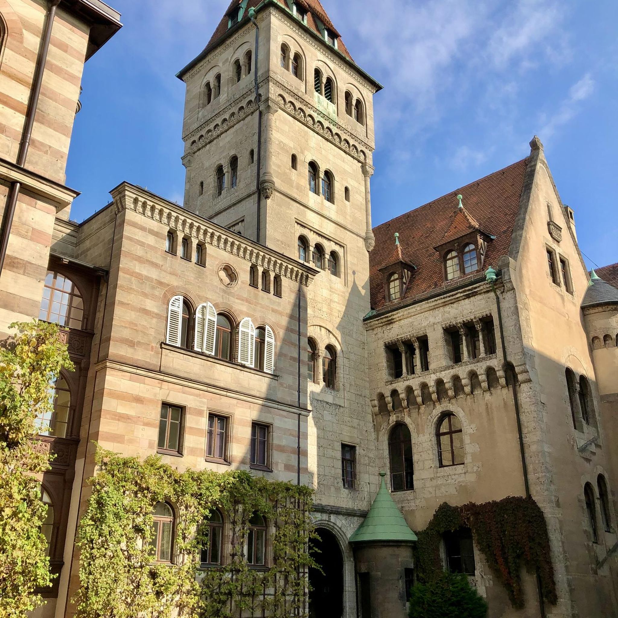
Family-friendly hikes around Parco Naturale Regionale di Portofino
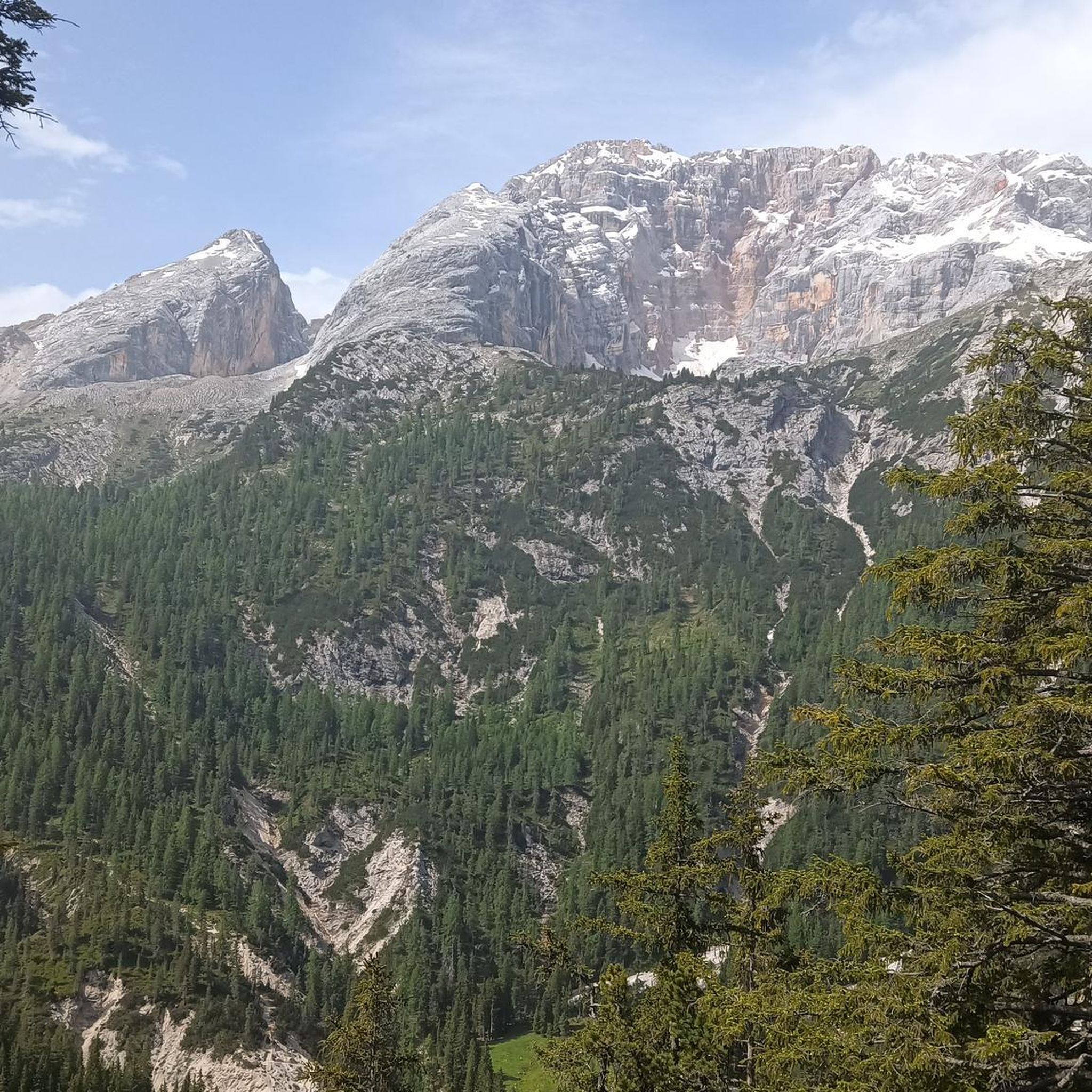
Family-friendly hikes around Parco naturale regionale dell'Antola
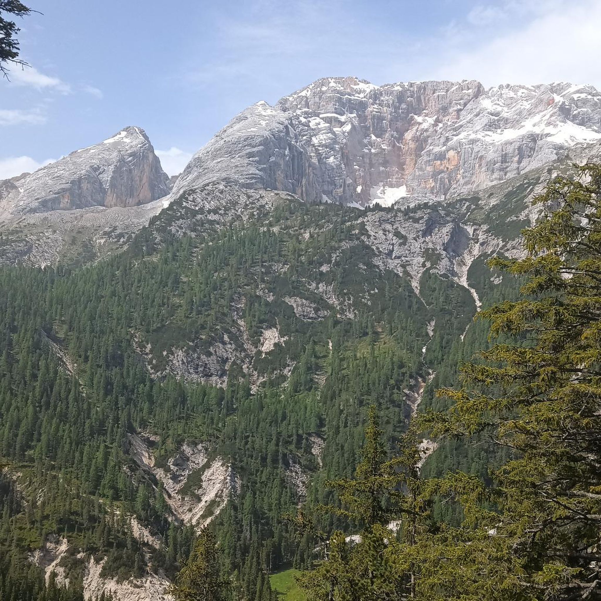
Family-friendly hikes in Parco Dell'Antola
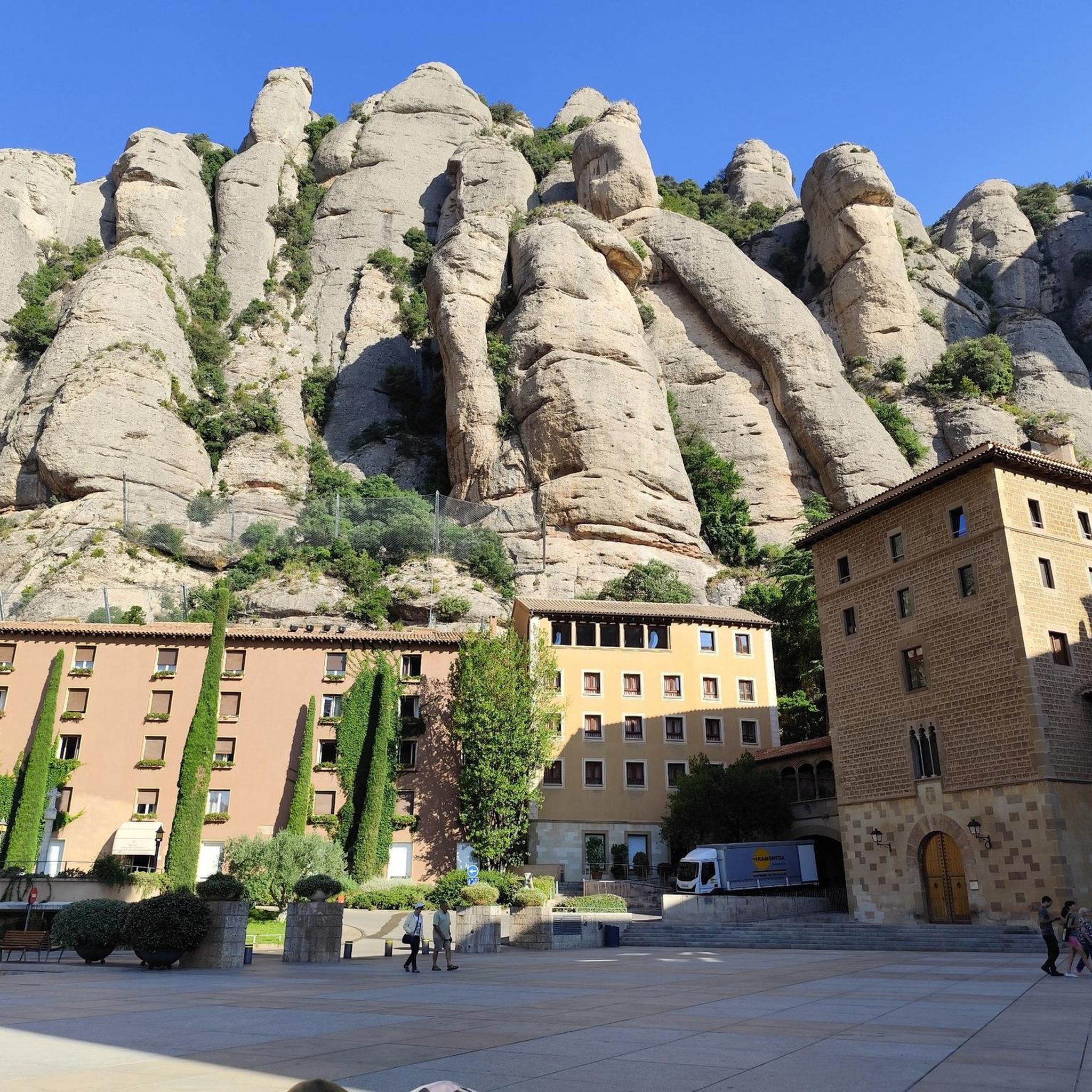
Family-friendly hikes around Parco naturale regionale dell'Aveto

Family-friendly hikes in Punta Manara

Family-friendly hikes in Lago Marcotto - Roccabruna - Gifarco - Lago Della Nave

Family-friendly hikes in Monte Fasce
Family-friendly hikes in Parco Regionale Dell'Aveto

Family-friendly hikes around Lake del Brugneto

Family-friendly hikes in Pian Della Badia (Tiglieto)
Other adventures in Genoa


Tips from the Community

Always with a view of the sea
0
0

A small but fine planetarium
0
0

A dream-beautiful hiking trail. I can only recommend it
0
0

Ottimo spot per foto ricordo con panorama su Genova e il suo porto
0
0


Beautiful panoramic terrace overlooking the city above the top station of the funicular
0
0

Very busy coastal road, pay attention
0
0

Unsafe bathing due to lack of a dedicated lifeguard service
0
0
Frequently Asked Questions
How many family-friendly hiking trails are there in Genoa?
Genoa offers a wide variety of hiking opportunities, with over 1400 routes in total. For families, you'll find more than 360 easy trails that are suitable for all ages and skill levels, ensuring plenty of options for a pleasant outing.
What kind of landscapes can we expect on family hikes around Genoa?
Family hikes around Genoa offer a diverse range of landscapes. You can explore coastal paths with stunning views of the Ligurian Sea, gentle trails through Mediterranean scrub, or routes winding through the hills and forests of the Ligurian Apennines. Many paths also feature historical elements like ancient forts or aqueducts.
Are there any easy, short walks suitable for families with young children or strollers?
Yes, there are several easy and relatively short walks perfect for families. The Portofino Lighthouse Trail is a great option, offering scenic coastal views and a manageable distance of about 2.5 km. Many paths within the Portofino Natural Park are also suitable for families, though some may not be stroller-friendly due to uneven terrain.
What are some interesting historical sites or landmarks we can visit along the trails?
Genoa's hiking trails are rich with history. You can explore the series of 18th and 19th-century forts along the Forts of Genoa trails, offering panoramic views. The Historic Aqueduct of Genoa also provides a unique walking route along an ancient Roman structure. Further afield, the San Fruttuoso Abbey and Bay is a medieval gem accessible via trails like the Route Camogli – Batterie – San Fruttuoso.
Are there any circular routes that are good for families?
Yes, many trails around Genoa are designed as circular routes, which are ideal for families. The Forts of Genoa offer several loop options, allowing you to start and end at the same point. The Historic Aqueduct of Genoa also features a roughly 10 km loop that is considered moderately easy and passes through pleasant forests.
What is the best time of year for family hiking in Genoa?
The mild climate of Genoa generally allows for year-round outdoor activities. However, spring (April-May) and autumn (September-October) are often considered the best times for family hiking. The weather is pleasant, not too hot, and the natural scenery is particularly vibrant. Summer can be warm, especially on coastal paths, so early mornings or late afternoons are recommended.
Are there any trails with waterfalls or gorges that are suitable for families?
While the region is known for its coastal beauty, there are areas with interesting geological features. You can explore highlights like the Black Rocks of Val Gargassa or the Gola del Rio Masone Trail, which offer glimpses into the region's canyons and gorges. These can provide a unique experience for families looking for something different.
What do other hikers enjoy most about family-friendly trails in Genoa?
The komoot community highly rates the trails in Genoa, with an average score of 4.5 stars from over 14,500 ratings. Hikers often praise the stunning coastal views, the historical significance of routes like the Forts, and the variety of landscapes that keep children engaged. The well-maintained paths and accessibility to charming villages are also frequently highlighted.
Are there any specific trails that offer great viewpoints for scenic photos?
Absolutely! Many trails provide breathtaking panoramic views. The paths within the Portofino Natural Park, including the Portofino Lighthouse Trail, offer spectacular vistas of the Ligurian Sea and picturesque villages. The trails around the Forts of Genoa also provide expansive views over the city and its harbor, perfect for memorable family photos.
Can we find cafes or places to eat near the family hiking trails?
Yes, many family-friendly trails in Genoa are conveniently located near charming towns and villages where you can find cafes, restaurants, and picnic spots. For example, trails in the Portofino area often lead to or pass through villages like Portofino itself or Camogli, offering plenty of amenities. Even routes closer to the city, like those around the Forts, can often be combined with a visit to a local eatery.
Are there any family-friendly trails accessible by public transport?
Many trails in and around Genoa are well-served by public transport, making them accessible for families without a car. For instance, trails within the Portofino Natural Park can often be reached via train to towns like Camogli or Santa Margherita Ligure, followed by local buses or ferries. Within Genoa itself, city buses can take you to the starting points of trails like those leading to the Forts or the Historic Aqueduct.
Most popular routes in Genoa
Most popular attractions in Genoa

Get inspired with the komoot mobile app


Didn’t find what you were looking for?
Check out more Hikes throughout Genoa below and find the perfect route in your destination.
