The best hikes from bus stations in Matera
4.5
(1445)
7,592
hikers
19
hikes
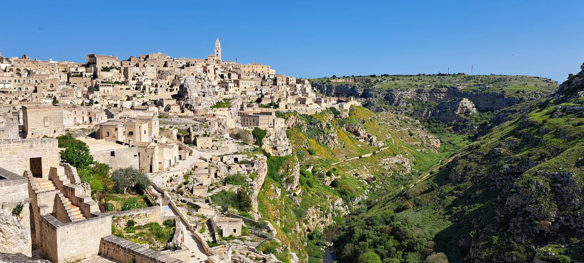
Bus station hiking trails in Matera navigate a landscape characterized by the dramatic Gravina ravine, ancient cave dwellings, and the rolling hills of Murgia Materana Park. The region's terrain features limestone cliffs, deep canyons, and historical rupestrian churches carved into rocky hillsides. This unique environment offers a blend of natural beauty and historical exploration for hikers. The city itself, with its Sassi districts, provides an urban hiking experience through a network of staircases and narrow streets.
Best bus station hiking trails in Matera
- The most popular bus station hiking route is Murgia Materana Park Trail 406 Loop, a 7.2 miles (11.6 km) moderate trail that takes 3 hours 26 minutes to complete. This route explores the Murgia Materana Park, offering views across the Gravina ravine.
- Another top favourite among local hikers is Panoramic view of Matera – View of Matera from the caves loop from Matera, a moderate 3.6 miles (5.7 km) path. This trail provides iconic views of Matera's Sassi from the opposite side of the canyon.
- Local hikers also love the Matera Town Hall – Vittorio Veneto Square loop from Matera, a 3.6 miles (5.8 km) trail leading through the city center, often completed in about 1 hour 35 minutes.
- Hiking in Matera is defined by the Gravina ravine, ancient cave dwellings, and rupestrian churches. The network offers options for different ability levels, from easy urban strolls to moderate routes through the Murgia Materana Park.
- The routes in Matera are highly rated by the komoot community with an average score of 4.5 stars from more than 1200 reviews. More than 7000 hikers have used komoot to explore Matera's varied terrain.
Last updated: August 17, 2026
4.2
(50)
193
hikers
11.6km
03:27
330m
330m
Embark on the Murgia Materana Park Trail 406 Loop, a moderate hike that spans 7.2 miles (11.6 km) and involves an elevation gain of 1075 feet (328 metres). You can expect to complete this route in about 3 hours and 26 minutes. The trail guides you through a distinctive landscape, featuring a rocky ravine and ancient paths, with sections of paved, gravel, and unpaved terrain. As you hike, you will wind through Mediterranean scrub and along the Gravina canyon, enjoying panoramic views of Matera's iconic Sassi. Keep an eye out for unique sights like the Madonna delle Tre Porte Church, which is carved directly into the rock face.
When planning your visit, be aware that while the trail is generally accessible, some paths can be uneven. Good fitness and sure-footedness will enhance your experience, and comfortable walking shoes or hiking boots are highly recommended for the varied surfaces. Parking is usually available near the starting points in Matera, but it is always wise to check local signs for current regulations. Consider starting your hike earlier in the day to make the most of the views and avoid potential crowds.
This loop offers a deep dive into the Parco della Murgia Materana, an area renowned for its unique geological formations and historical significance. The landscape tells a story of ancient human habitation, with paths that have been trodden for centuries. The dramatic canyon and the Sassi of Matera provide a backdrop that is both visually striking and culturally rich, making this trail a notable experience in the region. It is a chance to connect with both nature and history in one memorable outing.
4.5
(72)
624
hikers
6.01km
01:57
230m
230m
Moderate hike. Great for any fitness level. Mostly accessible paths. Sure-footedness required.

Sign up for free
4.9
(20)
231
hikers
6.16km
01:44
120m
120m
Easy hike. Great for any fitness level. Easily-accessible paths. Suitable for all skill levels.
17
hikers
6.01km
01:39
100m
100m
Easy hike. Great for any fitness level. Easily-accessible paths. Suitable for all skill levels.
1
hikers
6.01km
01:37
80m
80m
Easy hike. Great for any fitness level. Easily-accessible paths. Suitable for all skill levels.
Get access to more routes and recommendations from other explorers.
Sign up for free
Already have an account?
Our route recommendations are based on thousands of hikes, rides, and runs completed by other people on komoot.
Start today with a free account
Your next adventure awaits.
Login or Signup
Popular around Matera

Hikes from bus stations around Park of the Rupestrian Churches of Matera

Hikes from bus stations around Lake San Giuliano
Among olive trees and white stone - Via Peuceta
Basilicata by bike – discover itineraries in this unique land
The Apennine Cycleway (Part 2) - From Umbria to Calabria
Between nature, history and the sea - Gravel round through Basilicata
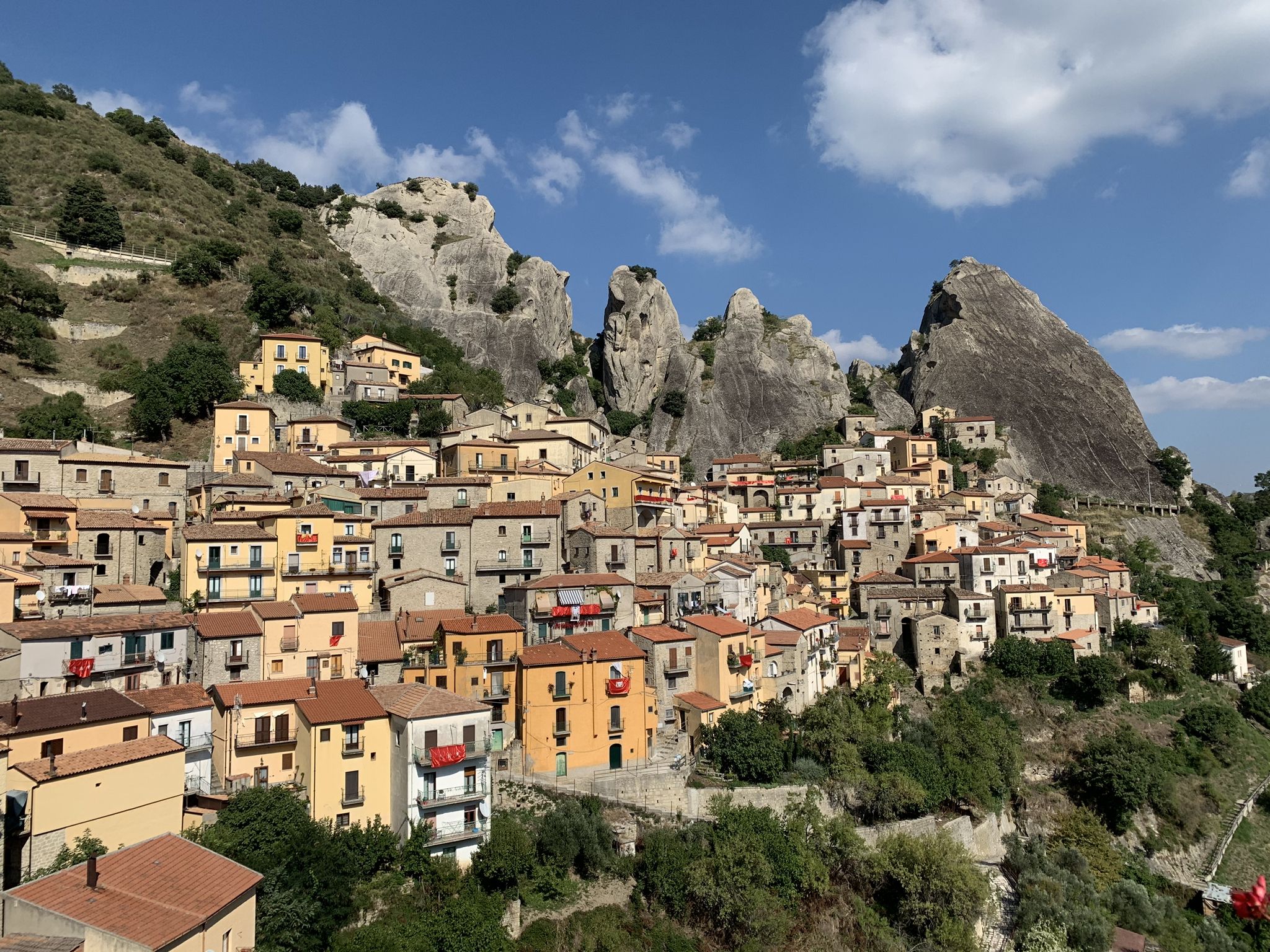
A bike Tour through Italy’s Dolomiti Lucane mountains

Interiora - A Journey into the Remote Areas of Italy
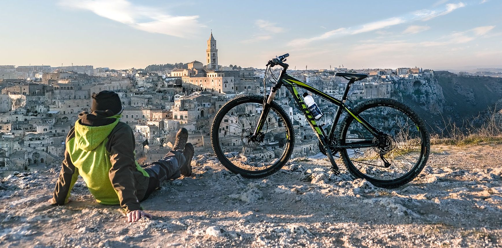
Between unspoilt nature and millenary history — Italy’s Basilicata by bike
Other adventures in Matera


Tips from the Community

one of the squares in the center of Matera
0
0
a church in an enchanting place
0
0

The olive tree is a beautiful sculpture that's often found in Matera. So keep your eyes open.
2
0

The southern Italian city of Matera is impressive and attractive, but at the same time also mysterious and a bit rough. It looks more like a labyrinth of stone houses, steep staircases and narrow streets. The Sassi di Matera, or Stones of Matera, is full of caves that were once inhabited and were therefore a disgrace to Italy. Times have changed suddenly, and today the Sassi di Matera are the pride not only of the city, but also of the entire Basilicata region, in which Matera is located.
1
0
The southern Italian city of Matera is impressive and attractive, but at the same time also mysterious and a bit rough. It looks more like a labyrinth of stone houses, steep staircases and narrow streets. The Sassi di Matera, or Stones of Matera, is full of caves that were once inhabited and were therefore a disgrace to Italy. Times have changed suddenly, and today the Sassi di Matera are the pride not only of the city, but also of the entire Basilicata region, in which Matera is located.
2
0
The southern Italian city of Matera is impressive and attractive, but at the same time also mysterious and a bit rough. It looks more like a labyrinth of stone houses, steep staircases and narrow streets. The Sassi di Matera, or Stones of Matera, is full of caves that were once inhabited and were therefore a disgrace to Italy. Times have changed suddenly, and today the Sassi di Matera are the pride not only of the city, but also of the entire Basilicata region, in which Matera is located.
1
1
The southern Italian city of Matera is impressive and attractive, but at the same time also mysterious and a bit rough. It looks more like a labyrinth of stone houses, steep staircases and narrow streets. The Sassi di Matera, or Stones of Matera, is full of caves that were once inhabited and were therefore a disgrace to Italy. Times have changed suddenly, and today the Sassi di Matera are the pride not only of the city, but also of the entire Basilicata region, in which Matera is located.
1
1
So, in this palace and its surroundings, the quite popular Czech series "Irma Tatarani investigates crimes" was filmed. A beautiful place!
1
0
Frequently Asked Questions
How many hiking trails are accessible directly from Matera's bus station?
There are over 15 hiking routes in Matera that are easily accessible from the bus station, offering a range of experiences from gentle strolls through the Sassi to more challenging treks in the Murgia Materana Park.
What is the best time of year to hike in Matera?
The best time to hike in Matera is typically during spring (April-May) and autumn (September-October). The weather is mild and pleasant, ideal for exploring the Gravina ravine and the Murgia Materana Park without the intense heat of summer.
Are there easy hiking trails suitable for beginners near Matera's bus station?
Yes, Matera offers several easy routes perfect for beginners. An excellent option is the Matera Town Hall – Vittorio Veneto Square loop from Matera, which provides a gentle introduction to the city's unique urban landscape. Another short and easy option is the Scenic view of Matera – Ridola Square loop from Matera.
Can I find circular hiking routes starting near the bus station?
Absolutely. Many routes in Matera are designed as loops, allowing you to return to your starting point without retracing your steps. A popular moderate circular route is the Murgia Materana Park Trail 406 Loop, which takes you across the Gravina ravine and back.
Are there any family-friendly hiking options from the bus station?
For families, routes that explore the Sassi or offer gentle paths with interesting sights are ideal. The Matera Town Hall – Vittorio Veneto Square loop is a good choice, as it's relatively flat and allows for exploration of the historic center. The Murgia Materana Park also has sections suitable for families, especially those leading to viewpoints.
Are dogs allowed on the hiking trails near Matera's bus station?
Generally, dogs are welcome on many of the outdoor trails in the Murgia Materana Park, provided they are kept on a leash. When hiking through the Sassi, it's best to keep dogs close due to narrow streets and crowds. Always ensure you carry water for your pet and clean up after them.
What kind of attractions or landmarks can I see on these bus station hikes?
Hiking in Matera offers a blend of natural beauty and ancient history. You can explore the dramatic Gravina Gorge, discover ancient cave dwellings, and visit rupestrian churches with well-preserved frescoes. Many trails lead to breathtaking viewpoints like Viewpoint over the Gravina and the Matera Murgia, offering iconic views of the Sassi. For a thrill, consider routes that include the Suspension bridge over the Gravina.
What should I wear or bring for hiking in Matera?
Given the rocky and uneven terrain, especially in the Murgia Materana Park and parts of the Sassi, sturdy hiking shoes with good grip are essential. Bring plenty of water, sun protection (hat, sunscreen), and layers of clothing as temperatures can vary. A map or GPS device is also recommended for navigating the trails.
How do I get to the trailheads from Matera's bus station?
Many trailheads are within walking distance of Matera's central bus station, particularly those exploring the Sassi. For trails in the Murgia Materana Park, such as the start of Trail 406, you can often reach them on foot by crossing the Gravina ravine, or by a short local bus ride or taxi if you prefer to save energy for the hike itself.
What do other hikers say about the trails around Matera?
The hiking trails around Matera are highly rated by the komoot community, with an average score of 4.5 stars from over 1200 ratings. Reviewers often praise the unique historical landscapes, the stunning views of the Sassi, and the opportunity to explore ancient cave churches and the dramatic Gravina ravine.
Are there any longer or more challenging routes available from the bus station?
Yes, for those seeking a longer and more challenging experience, the Difesa San Biagio – Valley view loop from Montescaglioso, while a bit further afield, offers a moderate difficulty and covers a significant distance, providing a comprehensive exploration of the regional landscape. Within Matera, the Murgia Materana Park Trail 406 Loop is a moderate option that provides a good workout.
Are there any hikes that offer views of the Sassi from the Murgia Materana Park?
Absolutely, some of the most iconic views of Matera's Sassi are found from the Murgia Materana Park. The Panoramic view of Matera – View of Matera from the caves loop from Matera is a fantastic moderate hike that takes you to key viewpoints like Belvedere Murgia Timone, offering unparalleled vistas across the Gravina ravine to the ancient city.
Most popular routes in Matera
Most popular attractions in Matera

Get inspired with the komoot mobile app


Didn’t find what you were looking for?
Check out more Hikes throughout Matera below and find the perfect route in your destination.
Explore more
Browse the best Hikes in other regions.
