The best traffic-free bike rides in Oregon
4.6
(682)
20,022
riders
243
rides
No traffic road cycling routes in Oregon traverse a landscape characterized by diverse physical features, including coastal stretches, volcanic mountain ranges, fertile river valleys, and high desert plateaus. The state offers a well-developed network of routes, many of which are designated scenic bikeways. Cyclists can experience varied terrain, from flat agricultural lands to challenging climbs with significant elevation changes.
Best no traffic road cycling routes in Oregon
- The most popular no traffic road cycling route is Willamette & Mckenzie River…
Last updated: October 7, 2026
5.0
(3)
27
riders
46.8km
02:09
200m
200m
The Willamette & McKenzie River loop offers a moderate road cycling experience across 29.1 miles (46.8 km), featuring an elevation gain of 640 feet (195 metres). You can expect to…
24
riders
46.4km
02:42
940m
940m
The Moiser to Mt. Ulka Preserve loop offers a challenging road cycling adventure through the stunning Columbia River Gorge. This difficult 28.9-mile (46.4 km) route, with its significant 3073 feet…

2.0
(1)
22
riders
43.5km
01:53
140m
140m
Embark on the Alfa Market Road & Dodds Road loop for an easy road cycling experience that takes you through varied landscapes. You will pedal past serene farmlands and open…
14
riders
36.5km
01:29
220m
220m
The Covered Bridges Scenic Bikeway near Cottage Grove, Oregon, offers a delightful and largely traffic-free road cycling experience, perfect for a relaxed day out. You'll pedal along the smoothly paved…
13
riders
55.9km
02:52
800m
800m
Embark on the Newberry Crater Rim Trail for a moderate road cycling adventure that circles the stunning Newberry Caldera. This route spans 34.7 miles (55.9 km) and involves a significant…
Get access to more routes and recommendations from other explorers.
Already have an account?
Our route recommendations are based on thousands of hikes, rides, and runs completed by other people on komoot.
Start today with a free account
Your next adventure awaits.
Popular around Oregon
Traffic-free bike rides in Lane County

Traffic-free bike rides in Deschutes County

Traffic-free bike rides in Multnomah County

Traffic-free bike rides in Jackson County
Traffic-free bike rides in Wasco County
Traffic-free bike rides in Hood River County

Traffic-free bike rides in Clatsop County
Traffic-free bike rides in Clackamas County
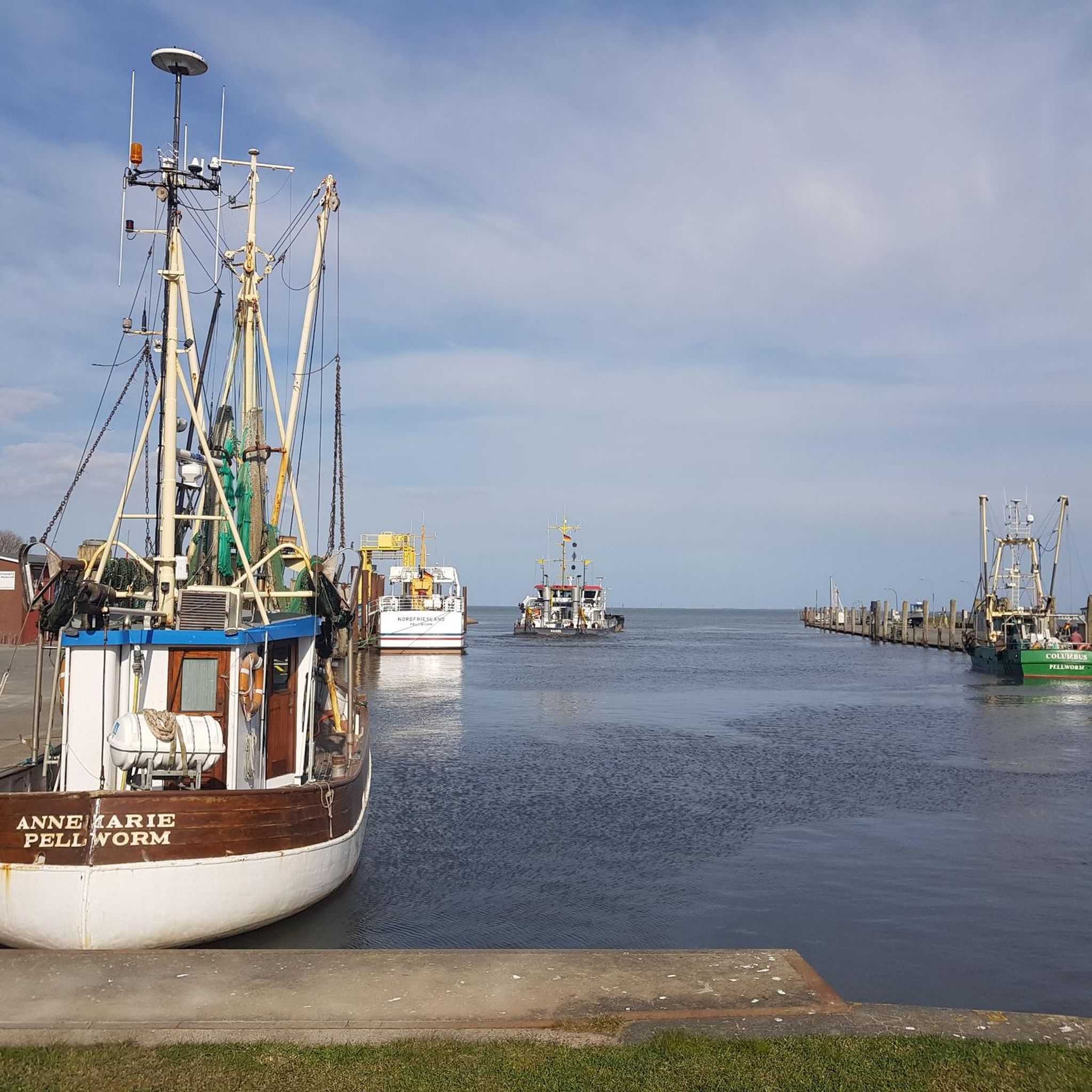
Traffic-free bike rides in Siuslaw National Forest
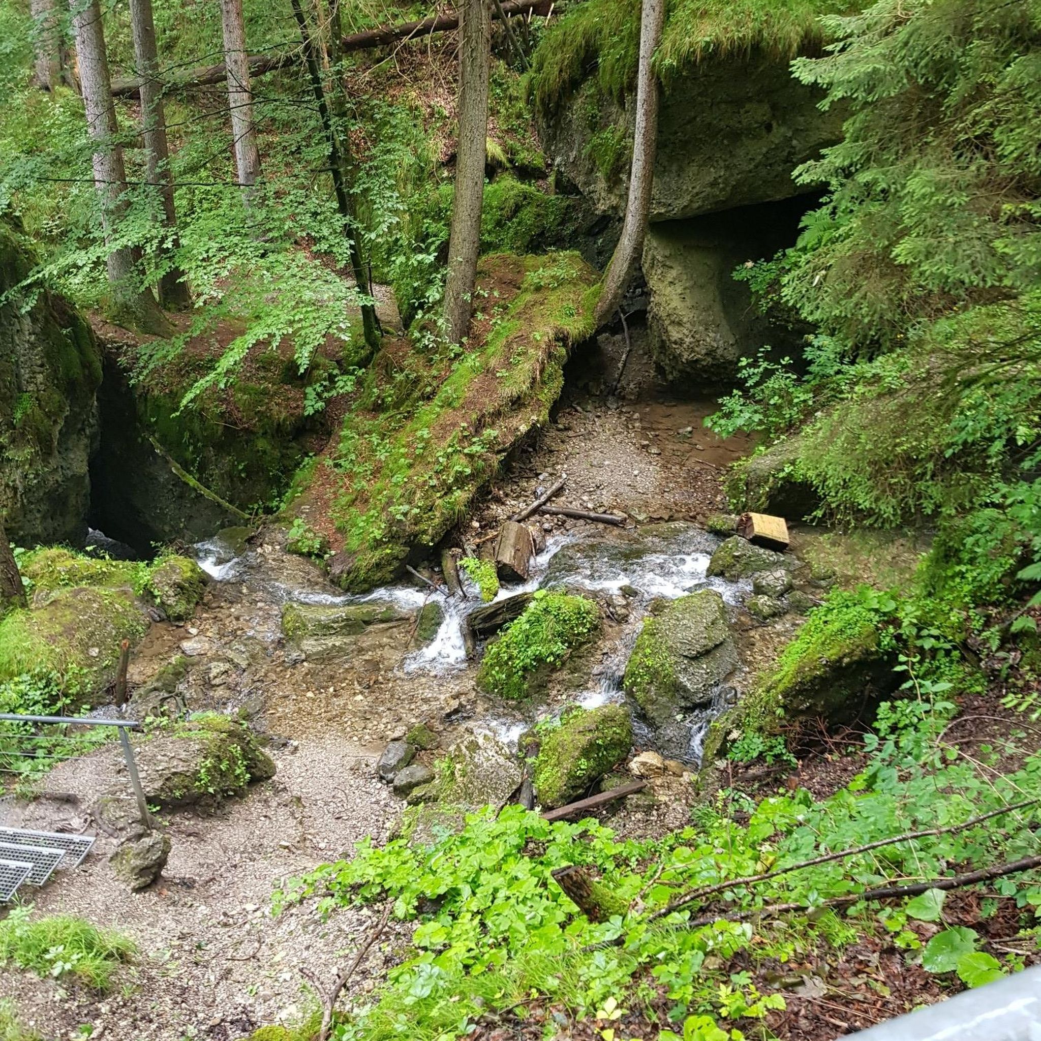
Traffic-free bike rides in Washington County
Other adventures in Oregon


Tips from the Community

Trails on both side of the creek offer different views of Paulina Falls. It's worth the short hike down the Peter Skene Ogden Trail from the top to catch a glimpse of the north side.
0
0

Dodds Road winds through foothills and farmlands, offering breathtaking vistas of the Cascade Mountains, including Mt. Bachelor and Three Sisters peaks. Meadows bursting with wildflowers, juniper forests, and rocky canyons create a scenic tapestry, changing with the seasons.
1
0
This large bowl shaped falls is particularly beautiful in the winter, when snow and ice covers the rocks. Recent warm temperatures reduced the ice levels, but it was still quite beautiful to see all covered in snow.
0
0

The East Lake has lost lots of water due to dry weather conditions. There are also some hot springs along the shoreline, but these can be dried up as well. The lake is a big crater that was created when the Newberry Volcano erupted.
1
0

Mosby Creek is the oldest remaining covered bridge in Lane County, dating back to 1920. Like others in the area it's a great destination for cycling and is also popular with history buffs and photographers.
0
0
This park on the shore of Dorena Lake has a lot to offer. You'll find campgrounds, ball fields, picnic area, boat launches, swimming areas, and more.
0
0
Built in 1949 the Dorena Bridge is one of the newer covered bridges around Cottage Grove. Like others, this bridge has been replaced by a newer concrete bridge but its still a popular location for photographers and other visitors.
0
0
Of the many historic covered bridges in Oregon, only this one is painted two different colors. A concrete bridge was built in 1979 and after being closed for many years the bridge was refurbished and opened to pedestrian and bike traffic.
0
0
Frequently Asked Questions
How many no-traffic road cycling routes are available in Oregon?
There are over 200 dedicated no-traffic road cycling routes in Oregon listed on komoot, offering a wide variety of experiences for all skill levels. You'll find everything from easy, flat rides to more challenging routes with significant elevation gain.
What is the best time of year for no-traffic road cycling in Oregon?
Oregon's mild climate generally allows for year-round riding. However, for routes in higher elevations, such as those in the Cascade Mountains, the best time to visit is typically from spring through fall. Some routes, like the McKenzie Pass, even offer exclusive car-free access for cyclists for a few weeks before the summer driving season.
Are there easy, family-friendly no-traffic road cycling routes in Oregon?
Yes, Oregon offers many easy and family-friendly options. Over 85 of the no-traffic road cycling routes are rated as easy. A great example is the Covered Bridges Scenic Bikeway, which takes riders past several historic covered bridges in a gentle, scenic setting.
What kind of landscapes can I expect on Oregon's no-traffic road cycling routes?
Oregon's diverse topography means you can experience a wide range of landscapes. Routes traverse the stunning Oregon Coast with ocean views and sand dunes, wind through fertile farmlands and vineyards in the Willamette Valley, climb into the breathtaking Cascade Mountains with volcanic scenery, and explore unique high-desert environments and canyons.
Are there any routes that offer car-free experiences for cyclists?
Absolutely. Oregon is known for its commitment to cycling, and some routes offer unique car-free opportunities. For instance, a section of Highway 242 across the Oregon Cascades (part of the McKenzie Pass Scenic Bikeway) is opened exclusively to cyclists for a few weeks each year before vehicle traffic is allowed, providing an unparalleled car-free experience.
What kind of natural features or landmarks can I see along these routes?
Oregon's routes are rich with natural beauty and landmarks. You can encounter historic covered bridges, explore renowned wine country, witness powerful waterfalls like those near the Sherar's Falls Scenic Bikeway, and marvel at volcanic landscapes. The Wild Rivers Coast Scenic Bikeway also offers attractions such as Battle Rock Park and the Cape Blanco Lighthouse. For mountain views, consider the McKenzie Pass Summit & Dee Wright Observatory.
Are there any challenging no-traffic road cycling routes for experienced riders?
Yes, for experienced riders seeking a challenge, Oregon has routes with significant elevation gain and longer distances. For example, the Moiser to Mt. Ulka Preserve loop is rated as difficult, featuring substantial climbs and rewarding views.
What do other road cyclists enjoy most about cycling in Oregon?
The komoot community highly rates road cycling in Oregon, with an average score of 4.57 stars. Reviewers often praise the state's diverse and stunning landscapes, the well-maintained scenic bikeways, and the unique car-free opportunities that make for a truly immersive cycling experience.
Are there any loop routes available for no-traffic road cycling?
Yes, many of Oregon's no-traffic road cycling routes are designed as loops, allowing you to start and end at the same point. Examples include the Willamette & McKenzie River loop and the Alfa Market Road & Dodds Road loop, which offer convenient circular journeys.
Where can I find parking for these no-traffic road cycling routes?
Many of Oregon's scenic bikeways and dedicated cycling paths have designated parking areas at trailheads or access points. It's always recommended to check specific route details on komoot for information on parking availability and locations before you head out.
Are there any routes that pass through or near volcanic landscapes?
Yes, Oregon's volcanic history is evident in several cycling routes. The McKenzie Pass Scenic Bikeway, for instance, offers stunning views of volcanic landscapes and formations. Another route, the Newberry Crater Rim Trail, takes you around a caldera, providing a unique experience of Oregon's volcanic past.
Most popular routes in Oregon
Most popular attractions in Oregon

Get inspired with the komoot mobile app


Didn’t find what you were looking for?
Check out more Road cycling routes throughout Oregon below and find the perfect route in your destination.
Explore more
Browse the best Road cycling routes in other regions.
