The best walks and hikes in Ludwigshafen am Rhein
4.4
(488)
3,687
hikers
219
hikes
Hiking trails in Ludwigshafen am Rhein are shaped by its location on the Rhine River and proximity to natural reserves. The region features diverse landscapes, including riverbanks, floodplains, and the preserved Maudacher Bruch nature reserve. Michaelsberg, a 125-meter hill, offers viewpoints within the city's green spaces. The surrounding area also includes picturesque vineyards, providing varied terrain for outdoor activities.
Best hiking trails in Ludwigshafen am Rhein
- The most popular hiking route is Holz’scher Pond – Michaelsberg (Ludwigshafen) loop from Ernst-Reuter-Siedlung, a 7.4 miles (11.9 km) trail that takes 3 hours 1 minute to complete. This moderate route explores the area around Michaelsberg, Ludwigshafen's highest point.
- Another top favourite among local hikers is Take a break for a bit at the Old Rhine – Beach Bar Silbersee loop from Kopflache am Friesenheimer Altrhein, a moderate 12.2 miles (19.6 km) path. This route follows the Old Rhine, offering riverside scenery and access to the Silbersee.
- Local hikers also love the Willersinnweiher – Begütenweiher loop from Oppau, a 3.4 miles (5.5 km) trail leading through pond landscapes, often completed in about 1 hour 24 minutes.
- Hiking in Ludwigshafen am Rhein is defined by the Rhine River, the Maudacher Bruch nature reserve, and accessible green spaces like Ebert Park. The network offers options for various ability levels, from easy strolls to moderate hikes.
- The routes in Ludwigshafen am Rhein are highly rated by the komoot community with an average score of 4.4 stars from more than 400 reviews. More than 3,800 hikers have used komoot to explore Ludwigshafen am Rhein's varied terrain.
Last updated: May 23, 2026
4.4
(41)
102
hikers
11.7km
02:57
20m
20m
Moderate hike. Good fitness required. Easily-accessible paths. Suitable for all skill levels.
4.5
(38)
325
hikers
Moderate hike. Good fitness required. Easily-accessible paths. Suitable for all skill levels.

Sign up for free
3.2
(11)
79
hikers
5.53km
01:24
10m
10m
Easy hike. Great for any fitness level. Easily-accessible paths. Suitable for all skill levels.
4.1
(7)
78
hikers
Easy hike. Great for any fitness level. Easily-accessible paths. Suitable for all skill levels.
4.0
(8)
27
hikers
Moderate hike. Good fitness required. Easily-accessible paths. Suitable for all skill levels.
4.8
(28)
73
hikers
8.17km
02:05
20m
20m
Moderate hike. Good fitness required. Easily-accessible paths. Suitable for all skill levels.
4.5
(11)
57
hikers
5.57km
01:24
10m
10m
Easy hike. Great for any fitness level. Easily-accessible paths. Suitable for all skill levels.
4.3
(4)
75
hikers
Easy hike. Great for any fitness level. Easily-accessible paths. Suitable for all skill levels.
4.6
(12)
59
hikers
Moderate hike. Good fitness required. Easily-accessible paths. Suitable for all skill levels.
4.3
(4)
60
hikers
Easy hike. Great for any fitness level. Easily-accessible paths. Suitable for all skill levels.
Get access to more routes and recommendations from other explorers.
Sign up for free
Already have an account?
Our route recommendations are based on thousands of hikes, rides, and runs completed by other people on komoot.
Start today with a free account
Your next adventure awaits.
Login or Signup
Popular around Ludwigshafen am Rhein
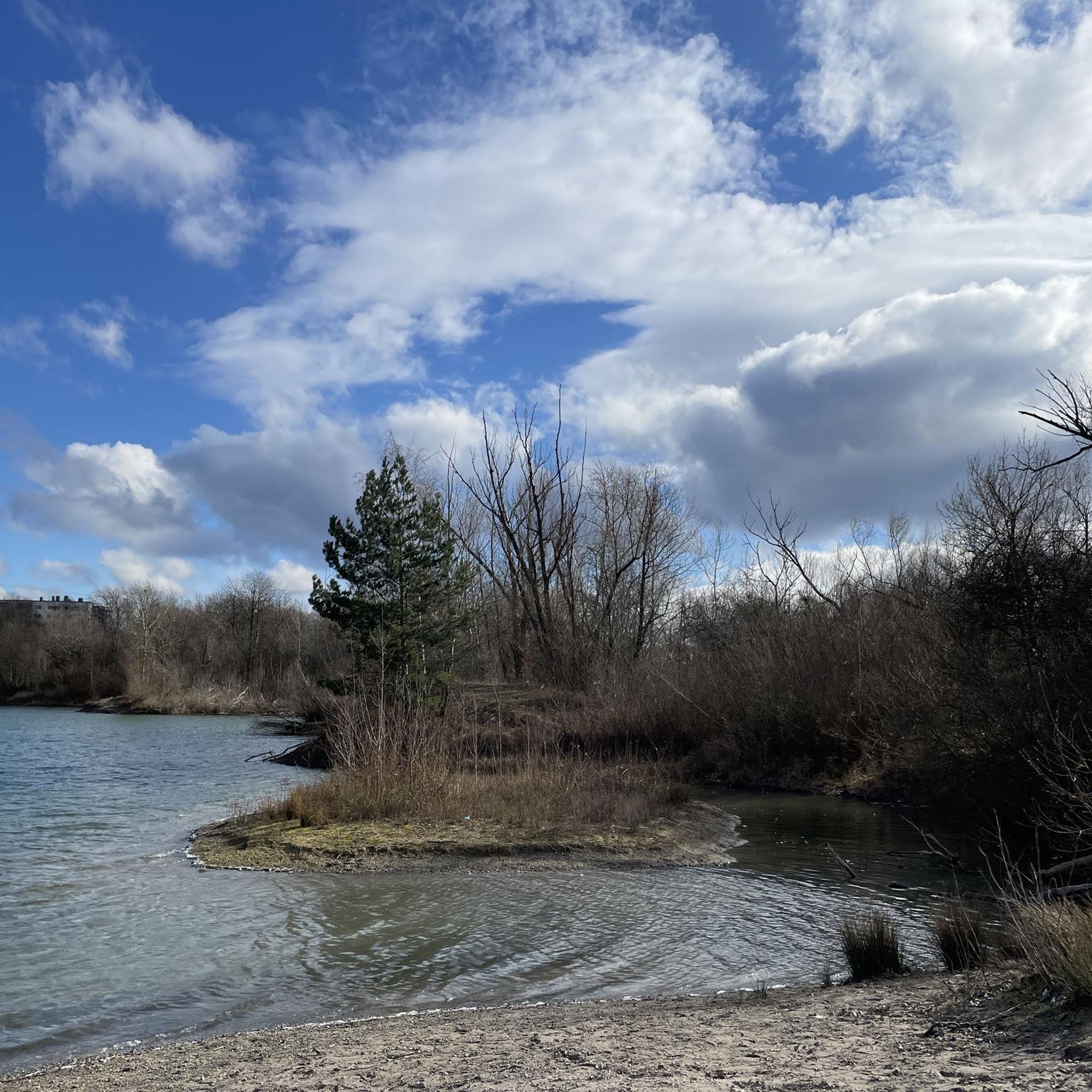
Hiking around Parkwald Maudacher Bruch

#GoFurther – discover the views of Germany!
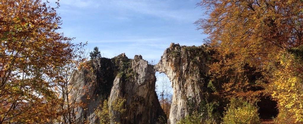
On the tracks of Homo Sapiens and ancient cultures

The Rhine Cycle Path — From the source to the North Sea
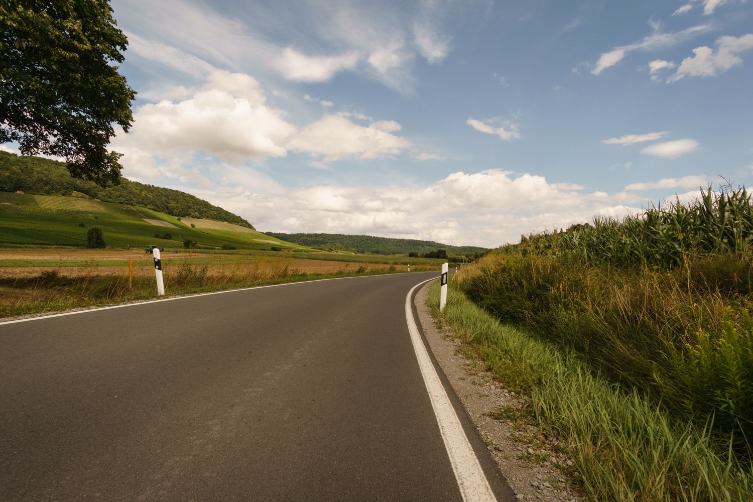
The Rhine-Neckar-Area's best after-work rides
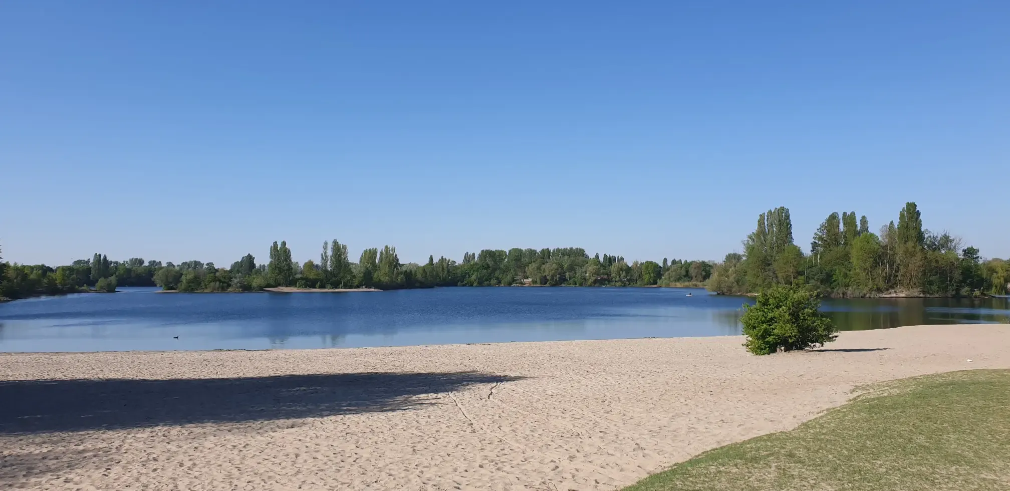
Jump right in! Swimming lakes in the Rhine-Neckar Triangle
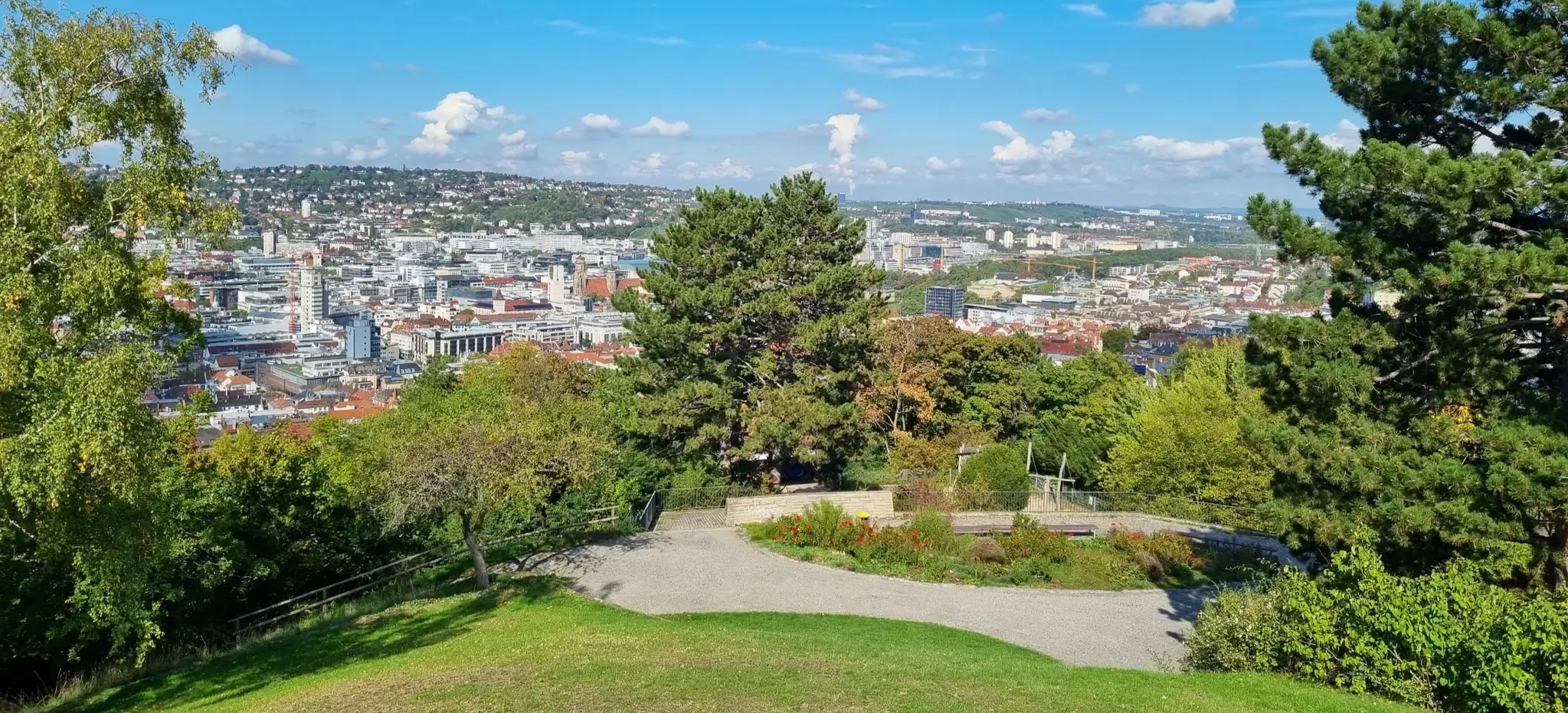
Einfach durch Stuttgart, Karlsruhe und Mannheim
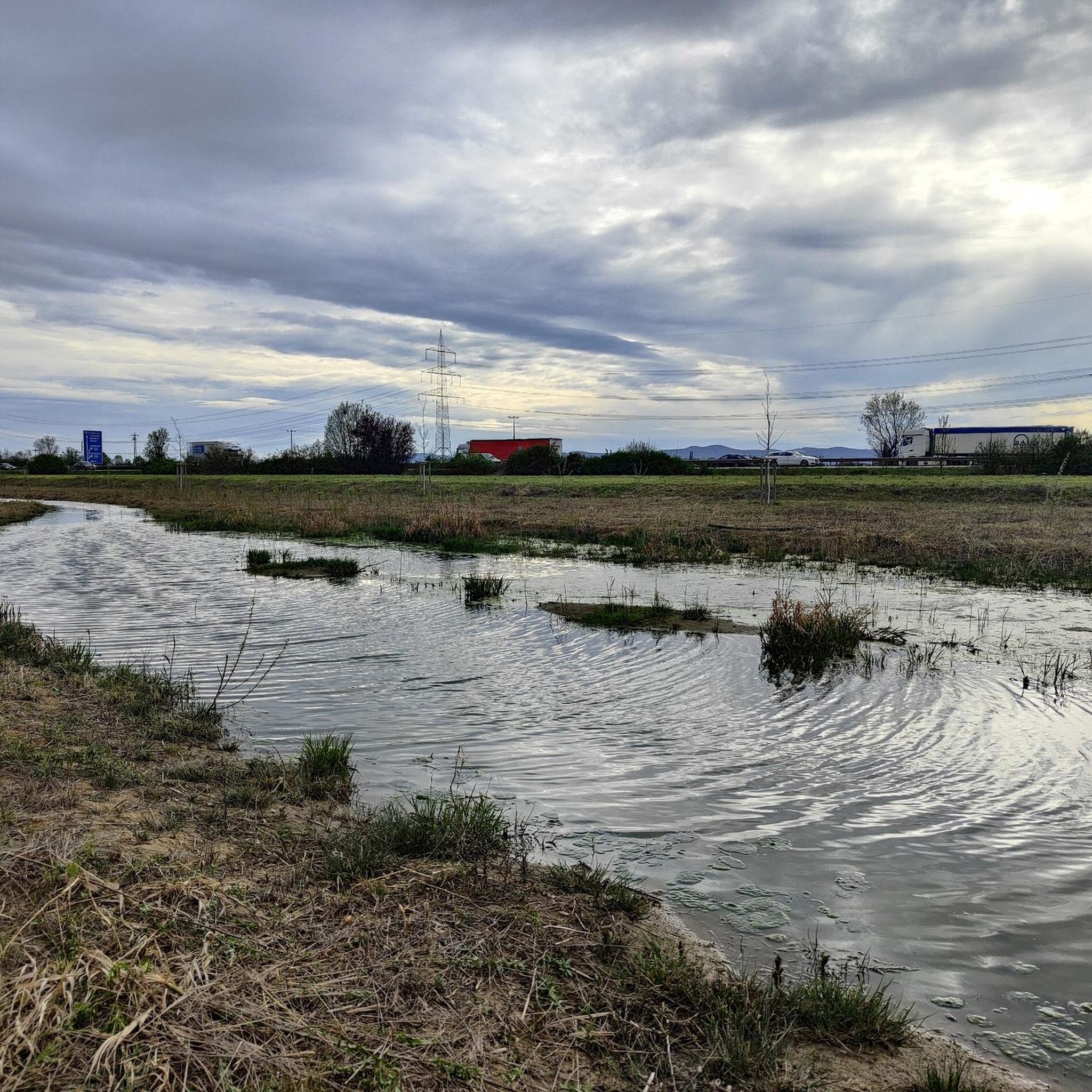
Cycling in Ludwigshafen am Rhein
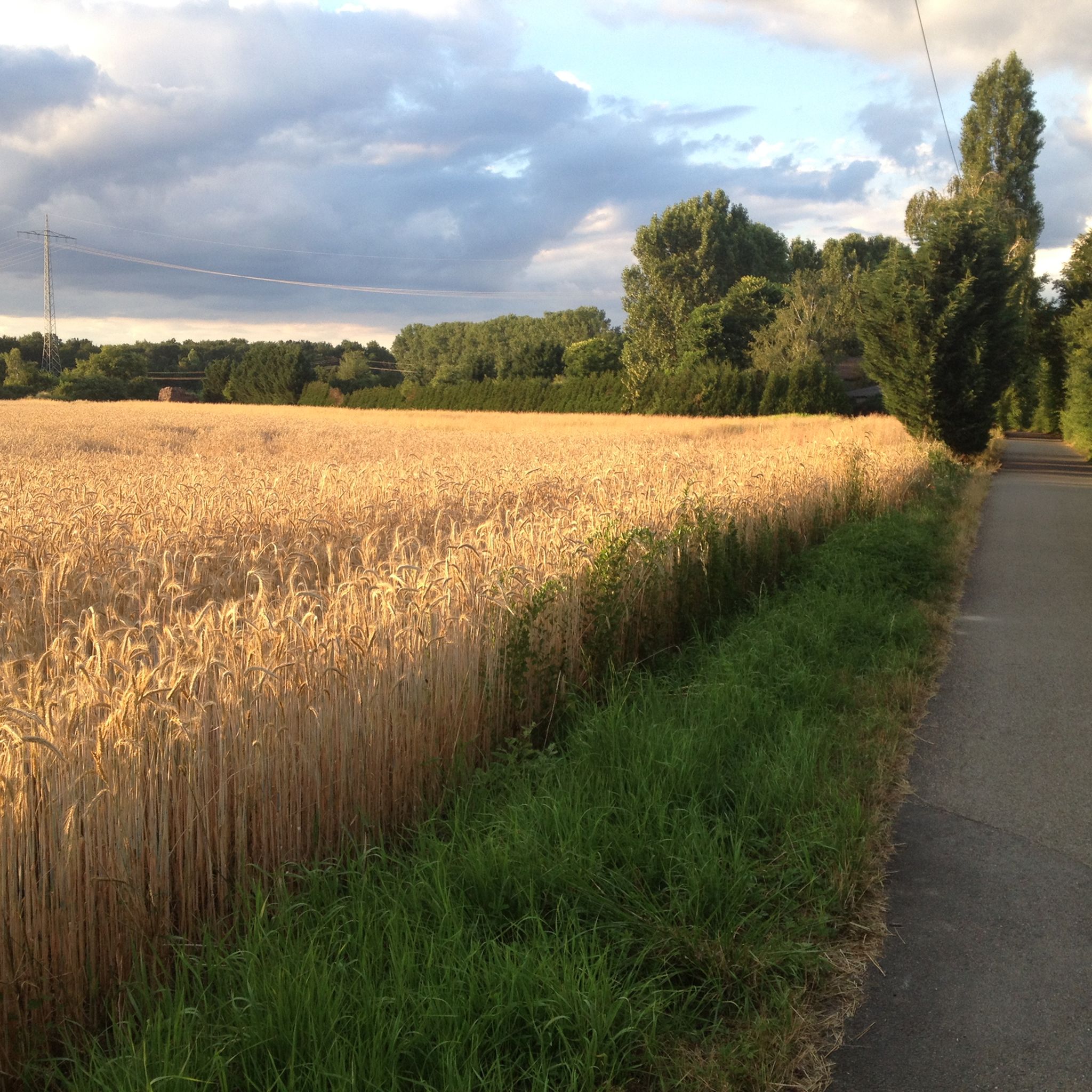
Road Cycling Routes in Ludwigshafen am Rhein
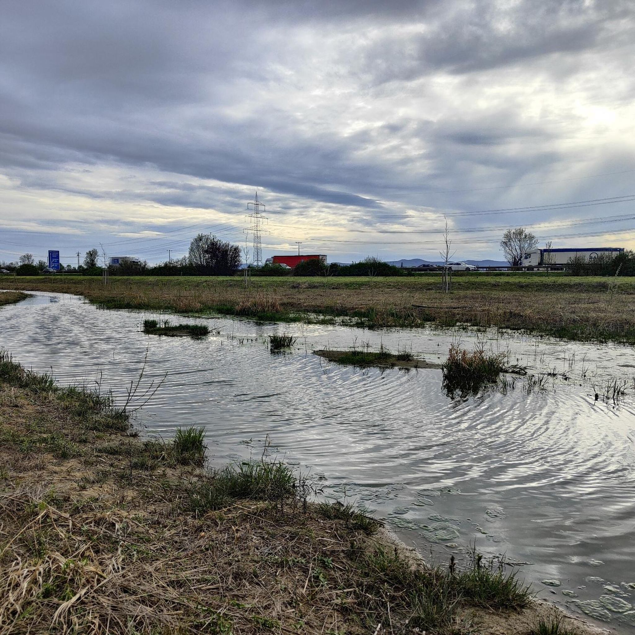
Running Trails in Ludwigshafen am Rhein
Other adventures in Ludwigshafen am Rhein


Tips from the Community

A small pavilion where one can take a short break.
0
0

A lovely rest stop with delicious food at reasonable prices. Excellent!
0
0


There is also a hut here for resting and seeking shelter
0
0


A great place for a break. 😊
0
0


Wonderful landscape, very idyllic.
0
0
Frequently Asked Questions
How many hiking trails are available in Ludwigshafen am Rhein?
Ludwigshafen am Rhein offers a wide selection of hiking opportunities, with over 200 routes available. These range from easy strolls to more moderate hikes, catering to various fitness levels.
What are the best times of year to go hiking in Ludwigshafen am Rhein?
The most pleasant seasons for hiking in Ludwigshafen am Rhein are spring and autumn. During these times, the natural landscapes, including the riverbanks, floodplains, and vineyards, are particularly vibrant and offer comfortable temperatures for outdoor activities.
Are there any easy, family-friendly hiking routes in Ludwigshafen am Rhein?
Yes, Ludwigshafen am Rhein has many easy and family-friendly options. For a pleasant stroll through a green oasis, consider the Gelis Minigolf Ebertpark – Pond in Ebertpark loop. Another accessible option is the Willersinnweiher – Begütenweiher loop, which takes you through picturesque pond landscapes.
Can I bring my dog on the hiking trails in Ludwigshafen am Rhein?
Many of the trails in Ludwigshafen am Rhein are suitable for dog walking. The region's diverse natural spaces, such as the Maudacher Bruch Nature Reserve and riverbanks, provide ample opportunities for you and your dog to explore. Always ensure your dog is on a leash where required and respect local regulations.
What kind of natural features or landmarks can I expect to see on a hike?
Hiking in Ludwigshafen am Rhein offers a variety of natural features and landmarks. You can explore the unique ecosystem of the Maudacher Bruch Nature Reserve, a remnant of an old Rhine arm. For panoramic views of the city and the Palatinate region, ascend Michaelsberg, the highest point in Ludwigshafen. You'll also encounter various ponds like Begütenweiher and the scenic Rhine River itself.
Are there any circular hiking routes available?
Yes, many routes in Ludwigshafen am Rhein are designed as circular loops, making them convenient for day trips. Examples include the Michaelsberg – Hunter's Pond loop, which explores the Maudacher Bruch area, and the Hunter's Pond – Bottle Cap Tree loop, offering an easy walk.
What do other hikers say about the trails in Ludwigshafen am Rhein?
The hiking trails in Ludwigshafen am Rhein are highly regarded by the komoot community, with an average rating of 4.4 stars from over 400 reviews. Hikers frequently praise the accessibility of nature within an urban setting, the well-maintained paths, and the diverse landscapes ranging from river views to tranquil nature reserves.
Are there any trails that offer views of the Rhine River?
Absolutely. The Rhine River is a central feature of the region's hiking landscape. The Old Rhine – Beach Bar Silbersee loop is an excellent choice, following the Old Rhine and offering picturesque riverside scenery. You can also enjoy views along the Rhine Promenade.
How can I reach the hiking trails using public transport?
Ludwigshafen am Rhein has a well-developed public transport network, including trams and buses, which can take you to various starting points for hikes. Many trailheads are accessible from within the city, particularly those around the Maudacher Bruch Nature Reserve and Ebert Park. It's advisable to check local transport schedules for specific route access.
Are there places to eat or drink near the hiking trails?
Yes, you'll find various cafes, restaurants, and pubs in and around Ludwigshafen am Rhein, particularly in the city center and in districts adjacent to popular hiking areas like Ebert Park or along the Rhine. Some routes, such as the Old Rhine – Beach Bar Silbersee loop, even pass by establishments like beach bars, perfect for a break.
What is the terrain like on the hiking trails in Ludwigshafen am Rhein?
The terrain in Ludwigshafen am Rhein is generally varied but not overly challenging. You'll encounter flat paths along the Rhine and through floodplains, gentle inclines around areas like Michaelsberg, and natural paths within the Maudacher Bruch Nature Reserve. The region is characterized by meadows, swamps, and dense vegetation, with some routes also passing through picturesque vineyards.
Most popular routes in Ludwigshafen am Rhein
Most popular attractions in Ludwigshafen am Rhein

Get inspired with the komoot mobile app


Didn’t find what you were looking for?
Check out more Hikes throughout Ludwigshafen am Rhein below and find the perfect route in your destination.
Explore more
Browse the best Hikes in other regions.
