The best hikes from bus stations in Landkreis Eichstätt
4.6
(14688)
63,301
hikers
1,914
hikes
Hiking in Landkreis Eichstätt offers diverse landscapes within the Altmühltal Nature Park, characterized by the meandering Altmühl River valley and distinctive Jurassic limestone formations. The region features dramatic cliffs, extensive forests, and sunny juniper heathlands. These natural elements create varied terrain, from gentle riverside paths to more challenging routes traversing dry grasslands and rocky outcrops.
Best bus station hiking trails in Landkreis Eichstätt
- The most popular bus station hiking route is Eichstätter Panoramaweg (Eichstätt Panorama Trail): No. 7 – Altmühltal Nature Park, a 7.4 miles (11.9 km) trail that takes 3 hours 24 minutes to complete, offering panoramic views within the Altmühltal Nature Park.
- Another top favourite among local hikers is From Dollnstein to Wellheim – the fabulous Altmühltal valley, a difficult 11.3 miles (18.2 km) path that explores the scenic Altmühltal valley.
- Local hikers also love the Sulztal Hiking Trail, a 15.8 miles (25.5 km) trail leading through the Sulztal, often completed in about 6 hours 53 minutes.
- Hiking in Landkreis Eichstätt is defined by limestone cliffs, river valleys, and extensive forests. The network offers options for various ability levels, from easy strolls to difficult ascents.
- The routes in Landkreis Eichstätt are highly rated by the komoot community with an average score of 4.6 stars from over 14,000 reviews. More than 63,000 hikers have used komoot to explore Landkreis Eichstätt's varied terrain.
Last updated: May 11, 2026
4.8
(449)
1,581
hikers
Moderate hike. Good fitness required. Easily-accessible paths. Suitable for all skill levels.
4.6
(145)
558
hikers
18.2km
05:15
440m
440m
Hard hike. Very good fitness required. Easily-accessible paths. Suitable for all skill levels.

Sign up for free
4.5
(41)
160
hikers
25.2km
06:48
330m
330m
Hard hike. Very good fitness required. Easily-accessible paths. Suitable for all skill levels.
4.7
(419)
1,410
hikers
12.5km
03:36
280m
280m
Moderate hike. Good fitness required. Easily-accessible paths. Suitable for all skill levels.
4.7
(220)
765
hikers
14.0km
03:53
240m
240m
Moderate hike. Good fitness required. Easily-accessible paths. Suitable for all skill levels.
Get access to more routes and recommendations from other explorers.
Sign up for free
Already have an account?
Our route recommendations are based on thousands of hikes, rides, and runs completed by other people on komoot.
Start today with a free account
Your next adventure awaits.
Login or Signup
Popular around Landkreis Eichstätt

Hikes from bus stations around Eichstätt

Hikes from bus stations around Beilngries

Hikes from bus stations in Haunstetter Forst

Hikes from bus stations in Alte Donau Mit Brenne
Hikes from bus stations around Gaimersheim
Hikes from bus stations in Köschinger Forst
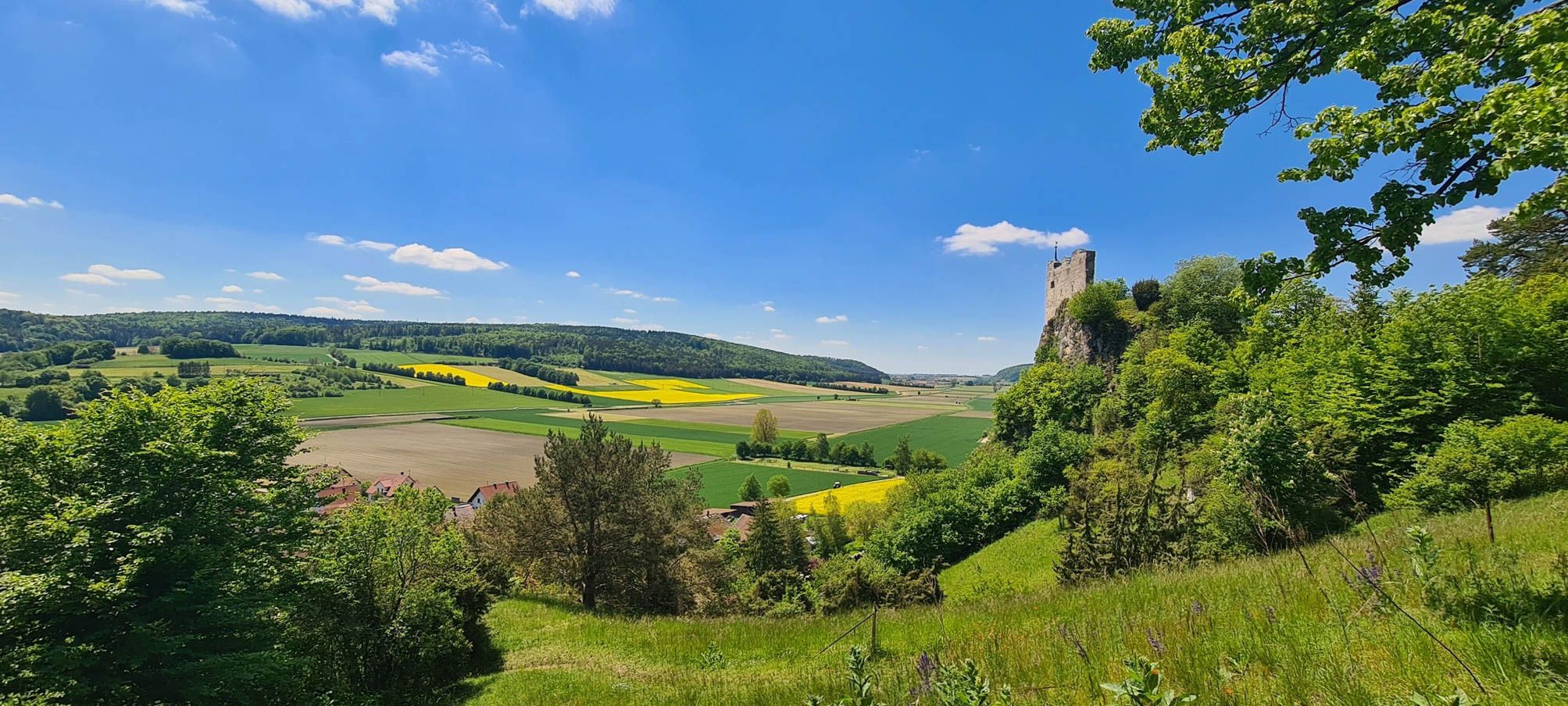
Urdonautalsteig – Hiking through past times

The National Natural Landscapes in Bavaria
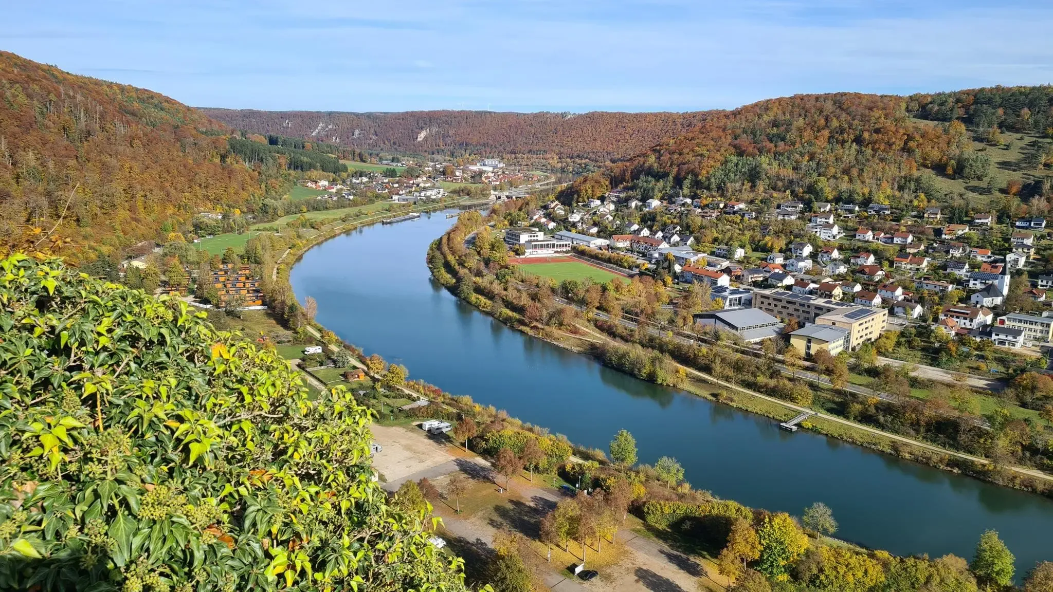
Golden trails – autumn hiking in Altmühltal
Sunny hiking loops – glorious autumn in the Altmühltal Nature Park
Other adventures in Landkreis Eichstätt


Tips from the Community

Beautifully maintained, easy-to-walk path that offers many beautiful views, especially in the western part.
0
0

Here begins the rock formation "12 Apostles"
0
0
Beautiful hiking trail, which is also ideal for walking with children. Various information boards provide information about the area
0
0

With a bit of luck, you might encounter the shepherd at work and end up in the middle of a flock of sheep. 😀
0
0

The view of Kinding in the Altmühl Valley offers an idyllic panorama that impressively captures the beauty of the Franconian landscape. Viewed from the gentle hills, the village appears nestled between green meadows, arable land, and the characteristic limestone rock formations of the Altmühl Valley.
1
0
In the Altmühl Valley, numerous traces of the Bronze Age can be found, dating from approximately 1600 to 700 BC. Particularly impressive are the burial mounds, often hidden in forests or on hills. These elevations in the terrain are not natural hills, but human-made graves in which important figures of their time were buried. Archaeologists found grave goods such as bronze spears, jewelry, ceramic vessels, and tool remains in the burial mounds – signs of a highly developed culture that already processed metal and maintained extensive trade relations. The location of the graves suggests that they also served as visible symbols of power or as boundary markers.
1
0

Truly a beautiful view, an insider tip, just go up and enjoy!
0
0

Just a few meters from the hiking trail (signposted!) is this incredibly magnificent viewpoint: a sweeping view over the ancient Danube Valley. This tiny detour is a must—don't miss it! Even if you have to climb the last few meters...
0
0
Frequently Asked Questions
How many bus-accessible hiking trails are available in Landkreis Eichstätt?
Landkreis Eichstätt offers over 1900 hiking trails that are accessible by bus, catering to a wide range of preferences and fitness levels. You'll find a diverse selection, from easy riverside strolls to more challenging routes through the region's distinctive landscapes.
What kind of difficulty levels can I expect on bus-accessible hikes in Landkreis Eichstätt?
The trails accessible by bus in Landkreis Eichstätt offer a good mix of difficulties. There are over 880 easy routes, more than 910 moderate options, and around 110 difficult trails for experienced hikers. This ensures there's something for every fitness level.
Are there any family-friendly bus-accessible hikes in Landkreis Eichstätt?
Yes, many bus-accessible routes are suitable for families. For instance, the region features trails like the Fossil Trail in Eichstätt, which is designed to be engaging for children, allowing them to discover nature and history. Look for routes with gentle gradients and points of interest along the way.
Can I bring my dog on bus-accessible hiking trails in Landkreis Eichstätt?
Generally, dogs are welcome on hiking trails in Landkreis Eichstätt. However, it's always advisable to keep your dog on a leash, especially in nature reserves, near livestock, or in busy areas. Some bus services may have specific rules regarding pets, so check with the local transport provider before your trip.
What natural features and landmarks can I see along these bus-accessible routes?
The bus-accessible trails in Landkreis Eichstätt are rich in natural beauty and historical landmarks. You can explore the meandering Altmühl River valley, dramatic Jurassic limestone formations, and expansive juniper heathlands. Many routes also lead past impressive castles and viewpoints. For example, you might encounter the View of Arnsberg Castle or the View of Willibaldsburg, offering stunning vistas of the surrounding landscape.
Are there any circular hiking routes accessible by bus?
Yes, there are several circular routes that can be reached by bus, allowing you to start and end your hike at the same point. An example is the moderate Roman bridge Kinding – Rock Arch Unteremmendorf loop from Kinding, which offers a rewarding experience without needing to arrange return transport from a different location.
What is the best time of year to go hiking from bus stations in Landkreis Eichstätt?
Spring, summer, and autumn are generally the best seasons for hiking in Landkreis Eichstätt. Spring brings blooming wildflowers, while summer offers lush greenery. Autumn provides stunning foliage and pleasant temperatures. While winter hikes are possible, some trails might be icy or less accessible, so check conditions locally.
Are there any longer, more challenging bus-accessible hikes for experienced hikers?
Absolutely. For those seeking a greater challenge, routes like the difficult Sulztal Hiking Trail, spanning over 25 km, offer significant distances and elevation changes. Another demanding option is the From Dollnstein to Wellheim – the fabulous Altmühltal valley, which covers over 18 km with substantial ascents.
What do other hikers enjoy most about hiking in Landkreis Eichstätt?
The komoot community highly rates the hiking experience in Landkreis Eichstätt, with an average score of 4.58 stars. Reviewers often praise the region's diverse landscapes, from the serene Altmühl River valley to the dramatic rock formations, as well as the well-maintained trails and the opportunity to discover historical sites along the way.
Can I find viewpoints or panoramic trails that are accessible by bus?
Yes, Landkreis Eichstätt is known for its scenic viewpoints and panoramic trails. The moderate Eichstätter Panoramaweg (Eichstätt Panorama Trail): No. 7 – Altmühltal Nature Park is an excellent example, offering expansive views of the Altmühltal. Many routes also lead to natural high points or historical castles that provide superb vistas, such as the Löwenkopf Viewpoint.
Are there any specific long-distance trails that pass through Landkreis Eichstätt and are bus-accessible?
Yes, the renowned Jurasteig, a quality-certified long-distance hiking trail, passes through the Altmühltal Nature Park within Landkreis Eichstätt. While it's a long-distance trail, many of its 13 main stages and 18 loop trails are accessible via local bus services, allowing you to experience sections of this impressive route. You can find more information about the Jurasteig on Ostbayern Tourismus.
Are there any unique geological formations to see on bus-accessible hikes?
Landkreis Eichstätt is famous for its distinctive Jurassic limestone and dolomite rock formations. A notable example is the Twelve Apostles Rock Formation – Sheep Trail loop from Mörnsheim, which showcases impressive rock pinnacles and cliffs shaped over millions of years. These geological wonders are a highlight of many trails in the region.
Most popular routes in Landkreis Eichstätt
Most popular attractions in Landkreis Eichstätt

Get inspired with the komoot mobile app


Didn’t find what you were looking for?
Check out more Hikes throughout Landkreis Eichstätt below and find the perfect route in your destination.
Explore more
Browse the best Hikes in other regions.
