The best hikes from bus stations around Kranichfeld
4.6
(488)
1,679
hikers
41
hikes
Bus station hiking trails around Kranichfeld traverse a varied landscape characterized by forests, rolling hills, and the picturesque Ilm River valley. The region features notable natural elements such as limestone cliffs and the Hohenfelden Reservoir, offering diverse scenery for hikers. This area in Thuringia provides a network of trails that combine natural beauty with historical landmarks, making it suitable for various outdoor activities.
Best bus station hiking trails around Kranichfeld
- The most popular bus station hiking route is The Great…
Last updated: October 28, 2026
4.8
(17)
40
hikers
9.78km
02:43
170m
170m
Moderate hike. Good fitness required. Easily walkable paths.
4.7
(15)
48
hikers
8.47km
02:20
140m
140m
Moderate hike. Good fitness required. Easily walkable paths.

4.4
(7)
20
hikers
12.0km
03:12
130m
130m
Moderate hike. Good fitness required. Easily walkable paths.
3.5
(2)
20
hikers
6.23km
01:39
70m
70m
Easy hike. Easily walkable paths.
4.0
(5)
18
hikers
12.9km
03:35
240m
240m
Moderate hike. Good fitness required. Easily walkable paths.
Get access to more routes and recommendations from other explorers.
Already have an account?
Our route recommendations are based on thousands of hikes, rides, and runs completed by other people on komoot.
Start today with a free account
Your next adventure awaits.
Popular around Kranichfeld
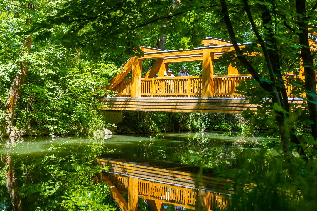
Ilm Valley cycle path – 4 stages through Thuringia
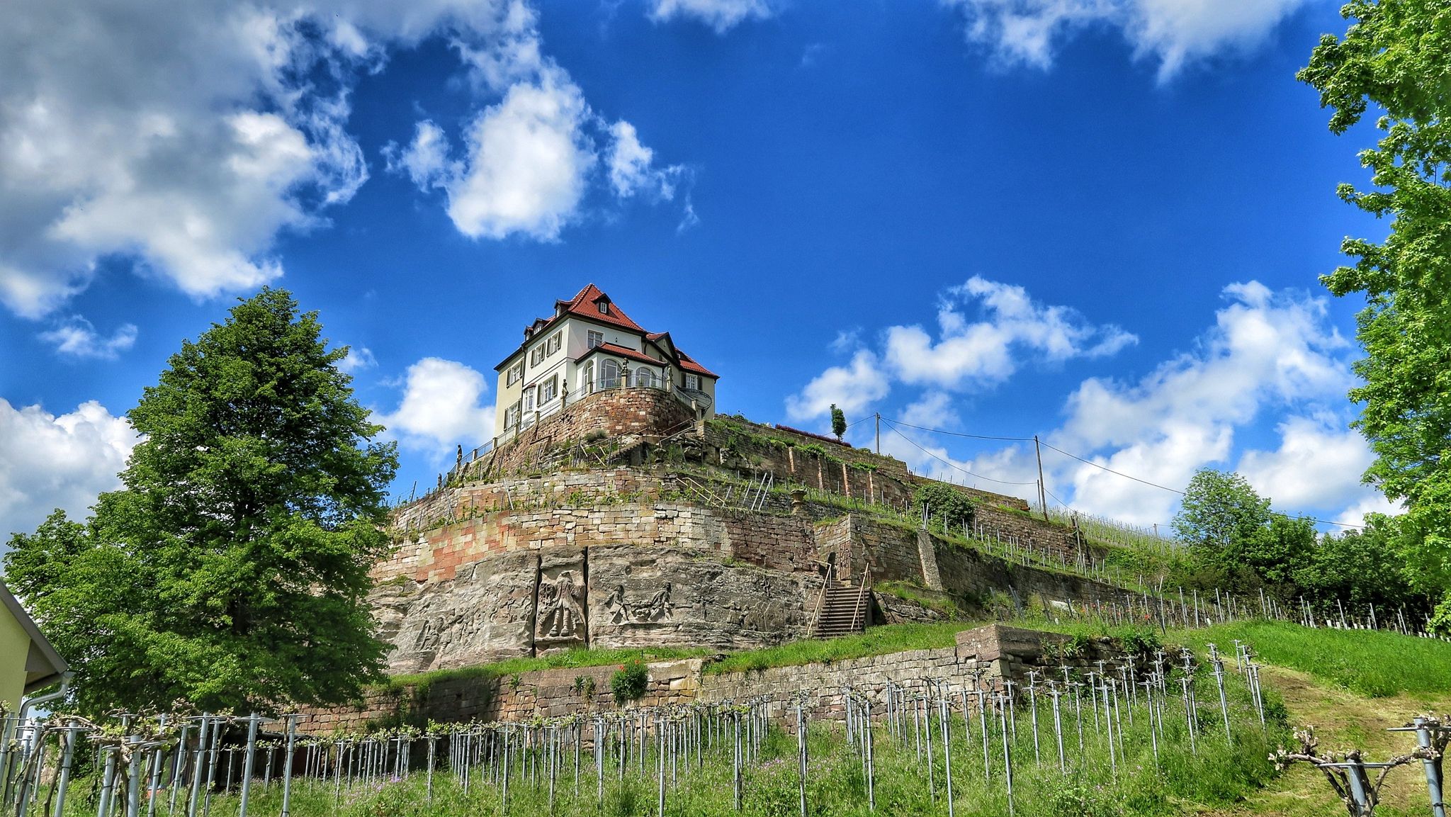
Ilmtal and Unstrut cycle paths – discover Thuringia in Germany by bike
Dein Caravaning-Abenteuer – Touren direkt ab dem Campingplatz
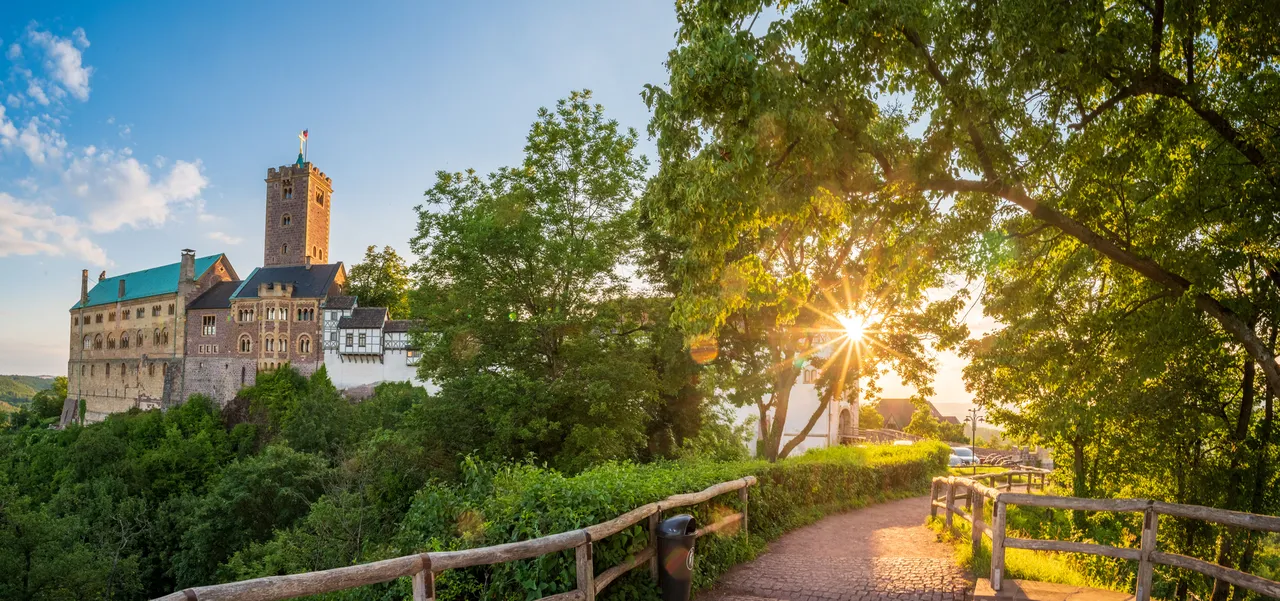
Zwei Tage raus! – Wander-Micro-Adventures in Thüringen

Sommerfrische: Wanderungen mit Badepause – Erfurter Bahn
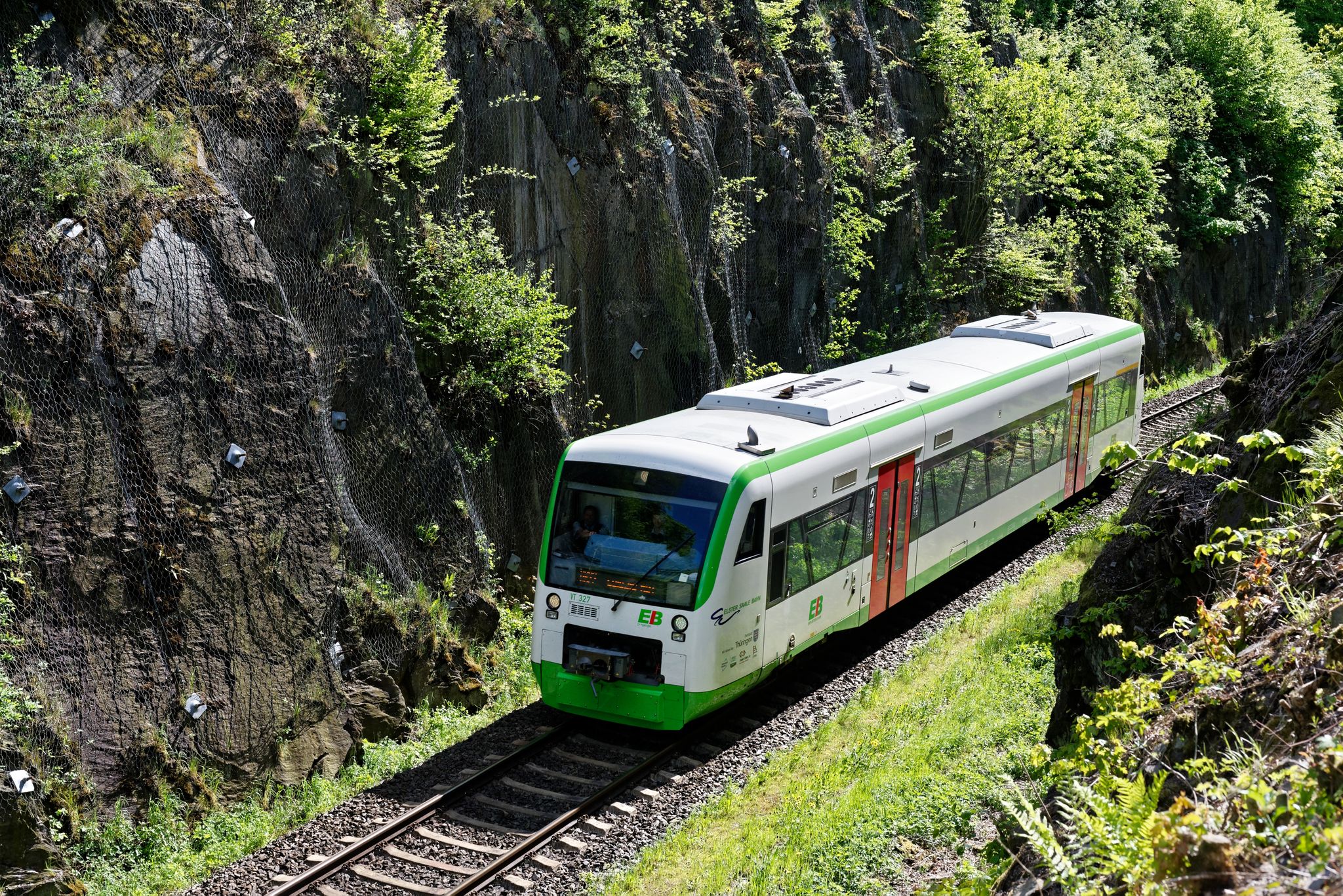
Nächster Halt: Natur – Wandern mit der Erfurter Bahn
Other adventures around Kranichfeld


Tips from the Community

Cozy studio café in Kranichfeld that combines art and a place to stop for a break. A lovely stop for coffee and cake during a tour through the Ilmtal.
0
0

Perfect for relaxing
0
0


Here is the VPS 3 at the Megamarsch
0
0

A small, beautiful circular pond, a sinkhole completely covered in duckweed. A bench for resting.
0
0
currently even in summer without water lilies, completely dry
0
0

The castle burned down in 1934. Due to excessive debt, the last owner donated the castle to "Reichsführer SS" Heinrich Himmler in 1941, who wanted to develop the ruins into an SS cult site and leadership training school. During these years, hundreds of prisoners from the Buchenwald concentration camp were assigned to forced labor under catastrophic conditions, in which more than 100 prisoners lost their lives. The Lower Castle can be seen in the background left of the picture.
1
0

Beautiful place to relax and listen to the forest.
4
0
Frequently Asked Questions
How many bus station hiking trails are available around Kranichfeld?
There are nearly 40 hiking routes around Kranichfeld that are easily accessible from bus stations. These trails offer a variety of experiences, from easy strolls to more challenging hikes, ensuring there's something for every skill level.
Are there easy hiking trails accessible by bus in Kranichfeld?
Yes, Kranichfeld offers a good selection of easy hiking trails accessible directly from bus stops. For example, the View of Tonndorf – Walkmühlenteich loop from Kranichfeld is an easy 6 km route, and the Steidener Mühle – The Great Oak loop from Kranichfeld is another easy option at just over 5 km.
What kind of terrain can I expect on bus-accessible hikes in Kranichfeld?
The terrain around Kranichfeld is quite varied, featuring rolling hills, dense forests, and picturesque river valleys, particularly along the Ilm River. You might encounter well-maintained paths, some gentle ascents and descents, and even unique natural elements like limestone cliffs, which add an interesting visual dimension to the trails.
Are there any circular walks from bus stations in Kranichfeld?
Many of the bus-accessible routes around Kranichfeld are circular, allowing you to start and end your hike at the same bus stop without needing to retrace your steps. Examples include the The Great Oak – View of Kranichfeld loop from Kranichfeld and the Shaded forest path – Hohenfelden Reservoir loop from Kranichfeld.
What historical landmarks or viewpoints can I see on these trails?
Kranichfeld's bus-accessible trails often lead to significant historical sites and offer stunning views. You can visit the impressive Oberschloss Kranichfeld, a Renaissance castle offering magnificent views over the town and Ilm Valley. The View of Kranichfeld – Oberschloss Kranichfeld loop from Stedten / Ilm is a great way to experience this. The Ilm Valley Viaduct, an impressive 19th-century stone arch bridge, is also a notable sight along various routes.
Are there any natural features or bodies of water along the bus station hiking routes?
Yes, the region is rich in natural beauty. Many routes incorporate the scenic Ilm Valley and the prominent Hohenfelden Reservoir, which is a frequent highlight. You might also encounter unique limestone cliffs and other picturesque ponds like the Dreiteichsgrund Ponds.
Are the bus-accessible hiking trails in Kranichfeld suitable for families?
Many trails around Kranichfeld are suitable for families, especially the easier and moderate routes. The diverse landscapes and historical attractions like castles and the eagle and falcon farm at Niederburg can make for an engaging outing for children. Look for routes with shorter distances and less elevation gain for younger hikers.
What do other hikers say about the trails around Kranichfeld?
The hiking trails around Kranichfeld are highly regarded by the komoot community, with an average rating of 4.6 stars from over 400 reviews. Hikers frequently praise the well-maintained paths, the beautiful mix of forest and open landscapes, and the accessibility of many routes via public transport.
Can I bring my dog on these bus-accessible hikes?
Generally, dogs are welcome on most hiking trails around Kranichfeld. It's always advisable to keep your dog on a leash, especially in nature conservation areas or near wildlife. Be sure to check specific trail regulations if you plan to visit any protected areas or attractions along your route.
What is the best time of year to hike from bus stations in Kranichfeld?
Kranichfeld offers enjoyable hiking experiences throughout much of the year. Spring brings blooming flora, while autumn showcases vibrant fall foliage. Summer is ideal for longer days and warmer weather, though some trails offer pleasant shade. Even in winter, with appropriate gear, the snow-covered landscapes can be beautiful, though some paths might be slippery.
Are there any challenging bus-accessible hikes in the area?
While most bus-accessible routes are easy to moderate, there is at least one difficult trail available for those seeking a greater challenge. These routes typically feature more significant elevation changes and longer distances, providing a more strenuous workout amidst the scenic Thuringian landscape.
Most popular routes around Kranichfeld
Most popular attractions around Kranichfeld

Get inspired with the komoot mobile app


Explore more
Browse the best Hikes in other regions.
