The best hikes from bus stations around Grünheide (Mark)
4.5
(2401)
8,318
hikers
230
hikes
Bus station hiking trails around Grünheide (Mark) are characterized by a landscape shaped by the Ice Age, featuring numerous lakes and extensive forests. The region is part of the Oder-Spree Lake District, with the River Spree meandering through its natural setting. Hikers can expect varied terrain, including lakeside paths, dense woodlands, and areas within the Löcknitz Valley Nature Reserve. This natural environment provides a diverse setting for outdoor activities, easily accessible by public transport.
Best bus station hiking trails around…
Last updated: October 28, 2026
4.6
(184)
536
hikers
Moderate hike. Good fitness required. Easily walkable paths.
4.4
(76)
245
hikers
Moderate hike. Good fitness required. Easily walkable paths.

4.4
(67)
255
hikers
Hard hike. Very good fitness required. Easily walkable paths.
4.4
(55)
234
hikers
Easy hike. Easily walkable paths.
4.6
(43)
125
hikers
6.20km
01:34
10m
10m
Easy hike. Easily walkable paths.
Get access to more routes and recommendations from other explorers.
Already have an account?
Our route recommendations are based on thousands of hikes, rides, and runs completed by other people on komoot.
Start today with a free account
Your next adventure awaits.
Popular around Grünheide (Mark)
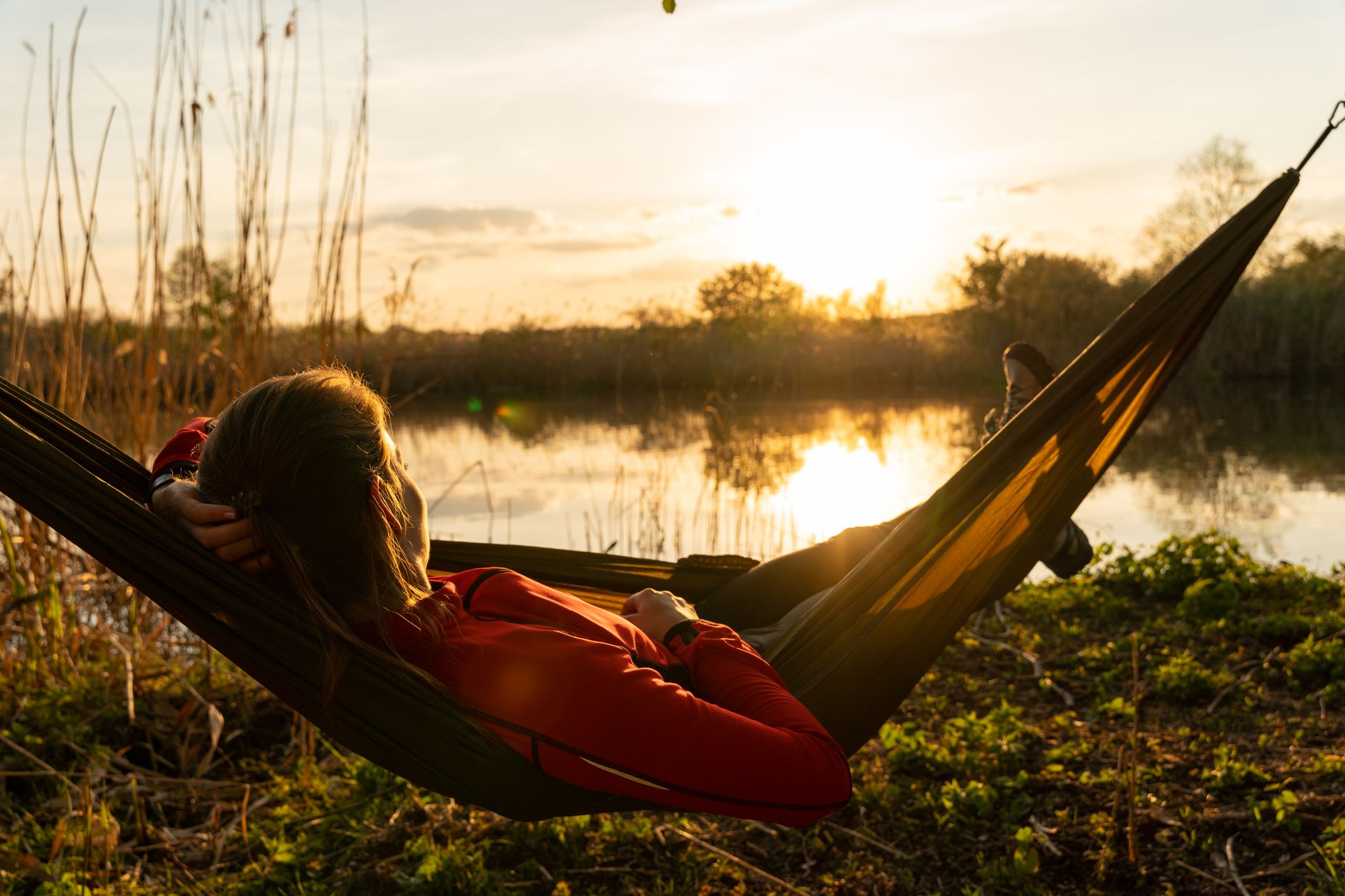
Late riser routes – hiking in the Oder-Spree Lake District
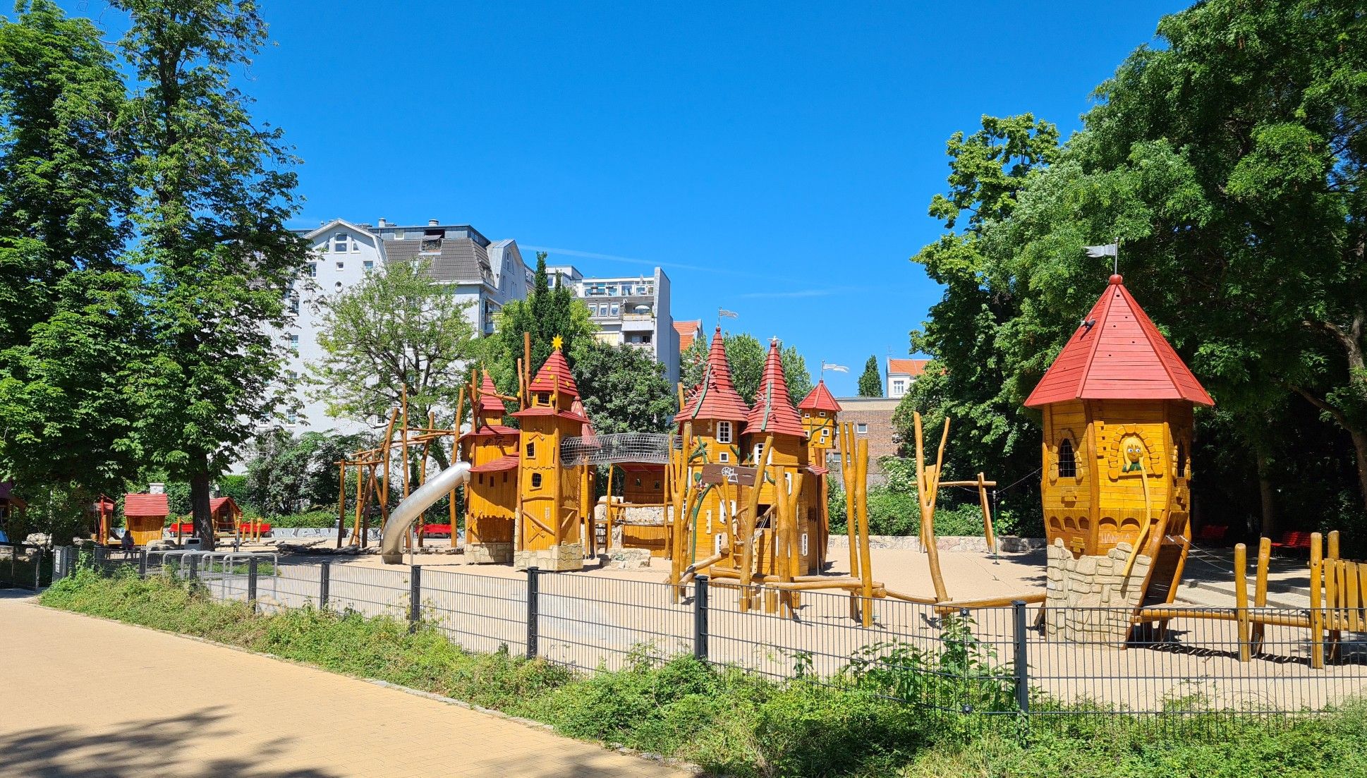
Hike and explore – take the S–Bahn to Berlin’s best playgrounds
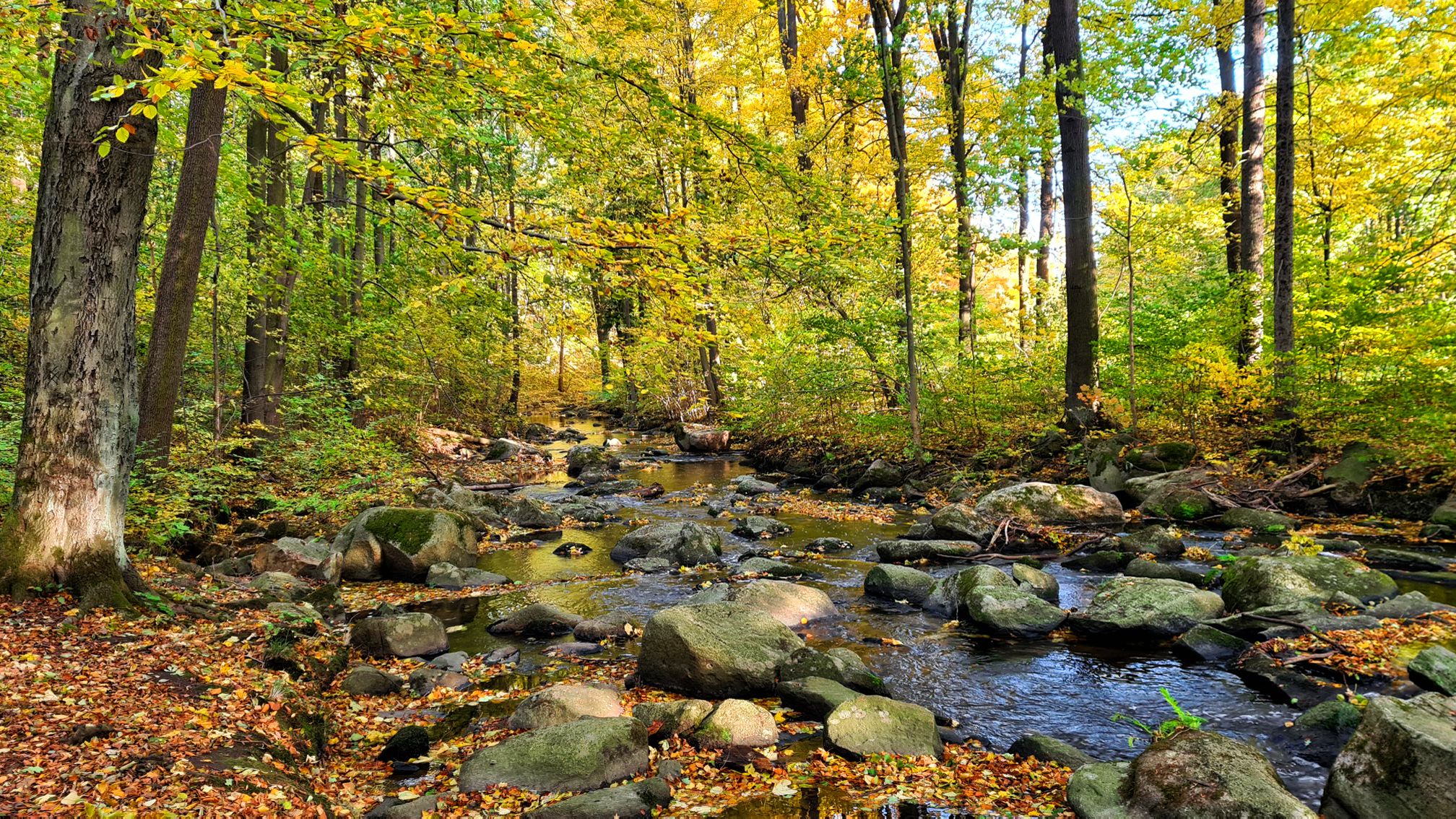
Along Germany’s River Spree from mouth to source
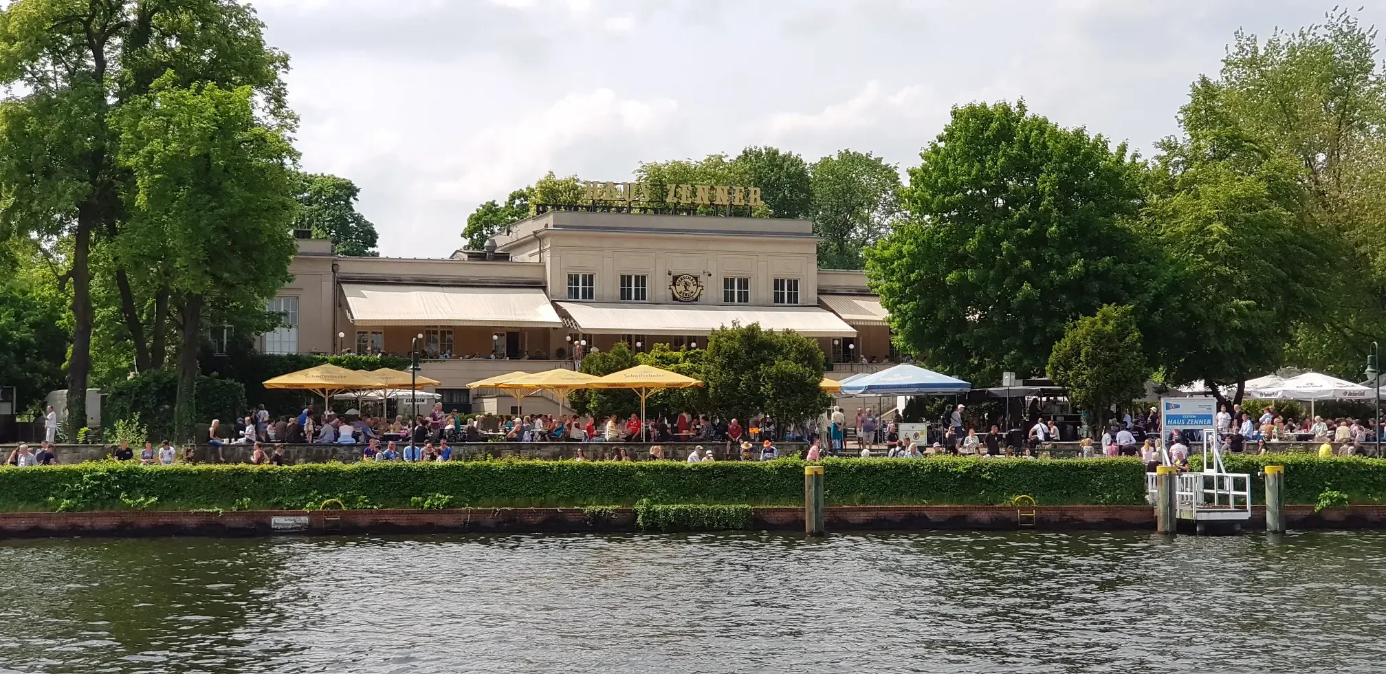
Discovering the best beer gardens in and around Berlin with the S-Bahn
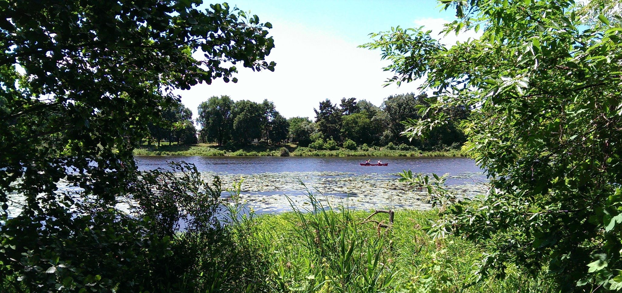
66 lakes around Berlin
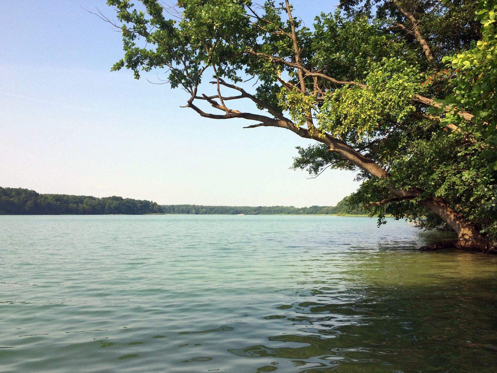
Berlin's sensational swimming lakes
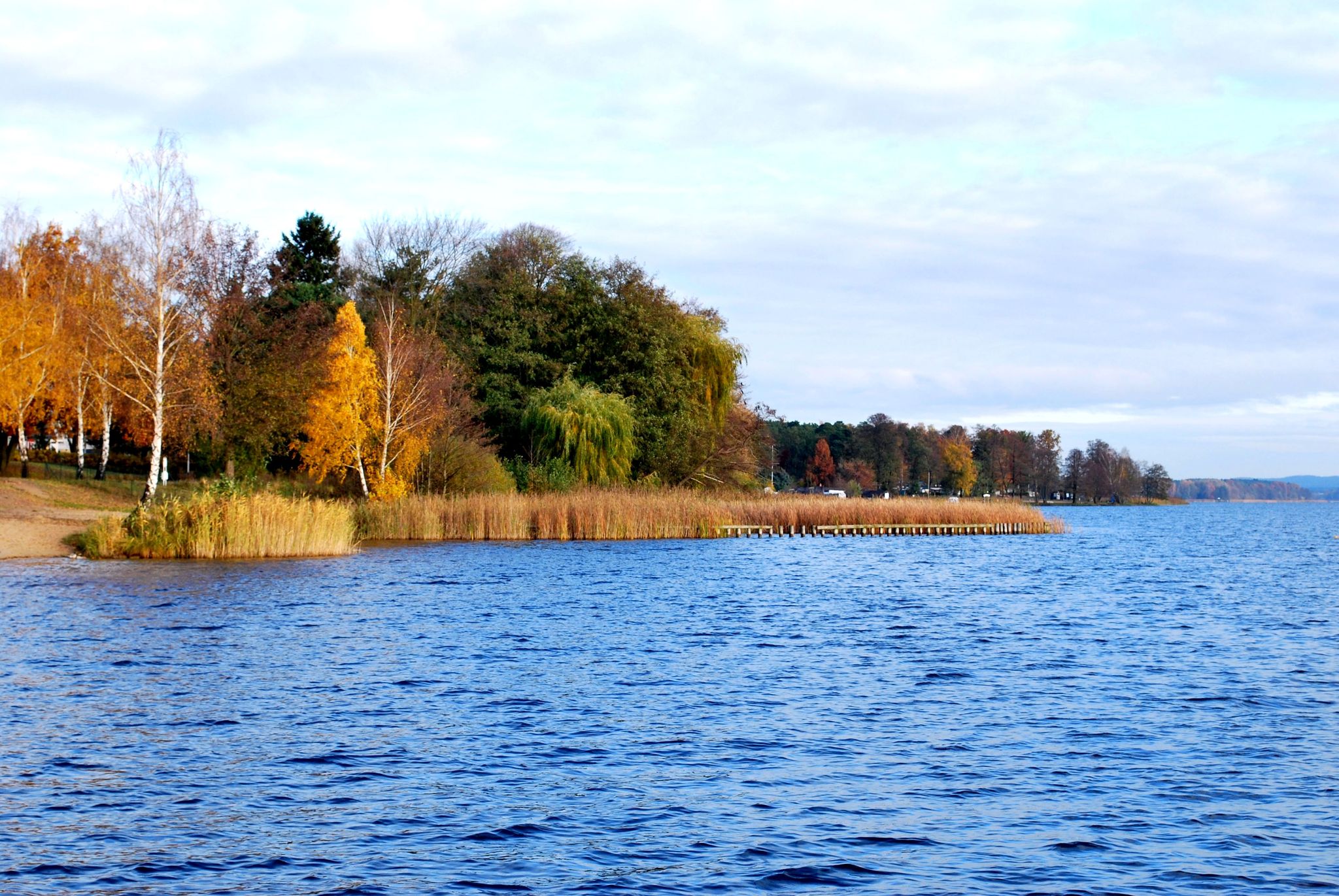
66-Seen-Wanderweg - Wandern im Seenland Oder-Spree
Other adventures around Grünheide (Mark)


Tips from the Community

It's good that the oxbow still has a connection to the straightened Spree River. This allows the water to be better contained within the landscape.
0
0
It's very beautiful to see the Spree in such beautiful weather. Everything seems so peaceful.
0
0


Very nice path, a little higher. Every now and then we had to cross fallen trees
1
0
Nice bathing area at the Möllensee campsite, with play equipment for children. I'm not sure if the bathing area is for everyone.
1
0
On 26.01.25 a little water came out of the spring. Next to it there is a bench to rest
1
0

Education is always useful
0
0

Frequently Asked Questions
How many bus-accessible hiking trails are available in Grünheide (Mark)?
There are over 220 hiking routes in Grünheide (Mark) that are easily accessible by bus, offering a wide variety of experiences for all skill levels.
What kind of landscapes can I expect on bus-accessible hikes around Grünheide (Mark)?
Grünheide (Mark) is characterized by its abundant natural features, including numerous clear lakes like Möllensee and Peetzsee, dense forests, and the meandering River Spree. Many routes also pass through the idyllic Löcknitz Valley Nature Reserve, known for its diverse flora and fauna. The landscape is shaped by ice-age formations, providing varied terrain.
What is the general difficulty level of hikes accessible by bus in Grünheide (Mark)?
The majority of bus-accessible hikes in Grünheide (Mark) are suitable for casual walkers, with over 120 easy routes and 90 moderate trails. For those seeking a greater challenge, there are also a few difficult routes available.
Are there family-friendly hiking options accessible by bus?
Yes, many routes are perfect for families. For an easy and scenic walk, consider the Peetzsee loop from Grünheide, which is just over 5 km and offers pleasant lakeside views. The region's flat terrain and well-maintained paths make it ideal for outings with children.
Can I bring my dog on these bus-accessible hikes?
Most hiking trails in Grünheide (Mark) are dog-friendly, allowing you to enjoy the natural beauty with your canine companion. Always keep your dog on a leash, especially in nature reserves and near wildlife, and remember to carry waste bags. A great option is the Lake Störitz loop from Spreeau, an easy 6 km route.
Are there circular hiking routes available from bus stops?
Absolutely. Many routes are designed as loops, allowing you to start and end at the same bus stop without needing to retrace your steps. An excellent moderate circular option is the Möllensee [North Shore] – Path Along the Kieskanal loop from Grünheide, covering nearly 11.5 km.
Are there any scenic viewpoints or landmarks along bus-accessible routes?
Yes, the region offers several points of interest. You might encounter the Kranichsberg Observation Tower or the Rauen Viewing Tower, offering panoramic views. The Püttberge Sand Dunes also provide a unique natural landmark to explore.
When is the best time of year to go hiking from a bus station in Grünheide (Mark)?
Grünheide (Mark) is beautiful year-round. Spring brings blooming nature, while summer is perfect for combining hikes with lake activities. Autumn offers stunning foliage, and even winter walks can be magical, especially around the frozen lakes. Always check weather conditions before heading out.
What do other hikers say about the bus-accessible trails in Grünheide (Mark)?
The hiking trails in Grünheide (Mark) are highly regarded by the komoot community, with an average rating of 4.5 out of 5 stars from over 2,200 reviews. Hikers often praise the tranquil lakeside paths, the well-marked forest trails, and the ease of access via public transport.
Are there longer, more challenging routes for experienced hikers accessible by bus?
While many routes are easy to moderate, experienced hikers can find more challenging options. For instance, the Große Tränke Weir – View of the Spree in Fürstenwalde loop from Hangelsberg is a difficult 19.8 km route that offers a longer, more demanding experience through diverse landscapes.
Where can I find places to eat or drink near the bus-accessible trails?
Many towns and villages along the bus routes, such as Grünheide itself, offer local restaurants, cafes, and pubs where you can refuel after your hike. It's always a good idea to check opening hours in advance, especially in smaller communities.
What should I wear for hiking in Grünheide (Mark)?
Given the varied terrain and weather, layered clothing is recommended. Comfortable, waterproof hiking shoes are essential, especially as many trails can be damp or muddy near the lakes and rivers. Don't forget sun protection, a hat, and plenty of water, particularly during warmer months.
Most popular routes around Grünheide (Mark)
Most popular attractions around Grünheide (Mark)

Get inspired with the komoot mobile app


Explore more
Browse the best Hikes in other regions.
