The best traffic-free bike rides around Barweiler
4.6
(87)
2,709
riders
13
rides
Road cycling around Barweiler offers varied landscapes within Germany's Eifel region, characterized by rolling hills, lush greenery, and wooded slopes. The area features charming stream valleys and the prominent Hohe Acht, the highest elevation in the Eifel, which provides challenging ascents. This environment creates a diverse network of routes, particularly around the Nürburgring, suitable for road cyclists seeking both scenic rides and demanding climbs.
Best no traffic road cycling routes around Barweiler
- The most popular no traffic road cycling route…
Last updated: May 15, 2026
4.1
(7)
47
riders
31.0km
01:20
250m
250m
Easy road ride. Great for any fitness level. Mostly well-paved surfaces and easy to ride.
5.0
(1)
16
riders
42.4km
02:14
790m
790m
Moderate road ride. Good fitness required. Some segments of this route may be unpaved and difficult to ride.

Sign up for free
4.0
(1)
18
riders
52.4km
03:05
630m
630m
Moderate road ride. Good fitness required. Some segments of this route may be unpaved and difficult to ride.
14
riders
55.6km
02:40
800m
800m
Moderate road ride. Good fitness required. Mostly well-paved surfaces and easy to ride.
521
riders
5.81km
01:25
80m
80m
Moderate road ride. Great for any fitness level. Some segments of this route may be unpaved and difficult to ride.
Get access to more routes and recommendations from other explorers.
Sign up for free
Already have an account?
Our route recommendations are based on thousands of hikes, rides, and runs completed by other people on komoot.
Start today with a free account
Your next adventure awaits.
Login or Signup
Popular around Barweiler
Tips from the Community

Saint John of Nepomuk was a priest (Vicar General of the Archbishop) in Bohemia who died a martyr's death in Prague in 1393. On royal command, he was thrown from the Charles Bridge in Prague into the Vltava River and drowned. His statue can still be found on or near many bridges today – here in the town of Blankenheim, twice in close proximity to the source of the Ahr River. He is considered not only a popular "bridge saint" but is also the patron saint of the seal of confession. In many depictions of him, he holds a cross in one hand, and with the other, he sometimes places a finger on his lips as a sign of silence (about what was heard during confession). The feast day of Saint John of Nepomuk in the calendar of saints is on March 20th.
1
0

"John of Nepomuk or John of Pomuk (Latin: Joannes de Pomuk, Czech: Jan Nepomucký or Jan z Pomuka, * c. 1350 in Pomuk near Pilsen; † March 20, 1393 in Prague) was a Bohemian priest and martyr. He was canonized by Pope Benedict XIII in 1729 and is considered the "bridge saint" and patron of the seal of confession. Along with crosses and depictions of the Virgin Mary, sculptures of Saint Nepomuk are the most commonly found Christian stone figures outside of church buildings in the open countryside in Catholic areas of southern Germany, Bohemia, Moravia, and Austria. Statues of the saint are often found on or next to bridges. The most famous of these, created by Johann Brokoff in 1683, is located on Prague's Charles Bridge at the spot where the saint was thrown into the Vltava River. " https://de.wikipedia.org/wiki/Johannes_Nepomuk "... John of Nepomuk lived from about 1350 to 1393. He died as punishment by being thrown from the Charles Bridge into the Vltava River and drowned. As a bridge saint, his statue stands on many bridges in Europe. ..." 👉 Life and work of John of Nepomuk and further information: https://www.erzbistum-koeln.de/presse_und_medien/magazin/Johannes-Nepomuk-der-Brueckenheilige
3
0

Two aluminum on the traffic island😂
0
0

Neublankenheim Castle, located on the edge of the Ahbach Valley, has a varied history spanning over 700 years. First mentioned in 1272, the castle passed into the possession of the Counts of Manderscheid after the Blankenheim family died out. As early as the 16th century, the castle complex began to decay until it was acquired by the Duke of Aremberg in 1769. Today, the ruins, which were extensively renovated in 2005 and 2006 and thus saved from complete decay, belong to the Vulkaneifel district.
0
0
This connection between the two sides of the river is passable again. The major storm disaster of June 2021, which, among other things, severely devastated the Ahr Valley (and also cost human lives here), is still visible even after three and a half years.
8
0
A real gem awaits hikers and walkers along the Ahr: the chapel dedicated to Saint Hubertus - known above all as the patron saint of hunters - cannot be entered by visitors, but the openings to the right and left of the door, protected by sturdy grilles, offer a glimpse that should not be missed! The central ceiling fresco depicts the Lamb of God from the Apocalypse, lying on the book with the seven seals that John describes in his "Revelation" (the last book of the New Testament).
7
0

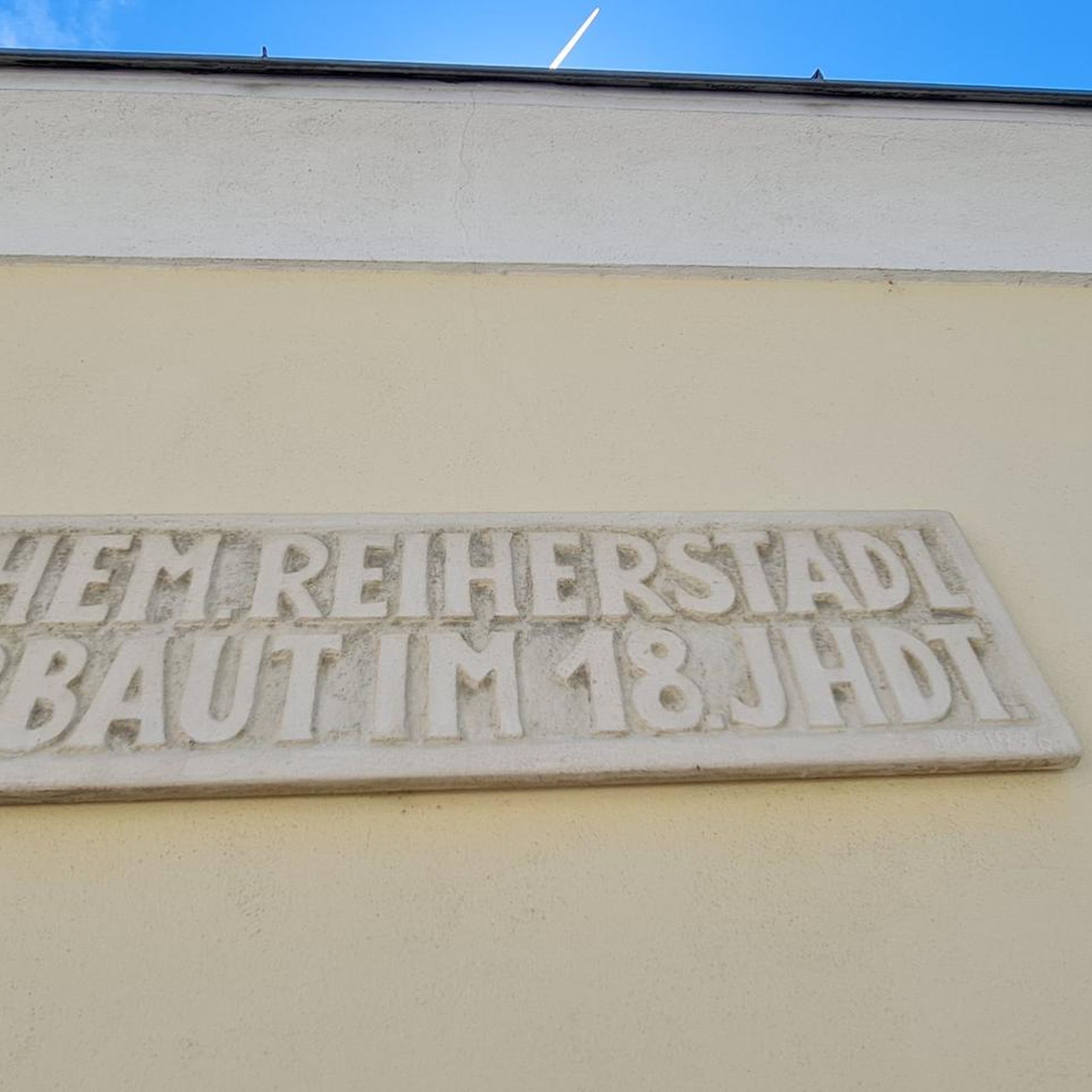
After the outdoor pool closed, the Weiherpark in the North Rhine-Westphalian municipality was left to its own devices – a barely used and inaccessible brownfield site with dilapidated structures emerged near the town center. A park is now being created at the confluence of the Ahr and Giesenbach rivers that blends into the landscape and connects Blankenheim with the surrounding nature. The vision: a spacious, species-rich valley landscape in the immediate vicinity of the town center. The Weiherpark has been rebuilt and redesigned over decades. After the swimming pool closed in 2015, large parts of it remained unused; only the Swan Pond in the center of the park remained accessible. The ideas and wishes of the residents were incorporated into the redevelopment plans. Existing and unused facilities will be demolished and landscaped; The subsequently remodeled terrain will connect to the neighboring valleys, bringing nature directly into the town. The renaturalized Weiherpark will be accessible and accessible for everyone. Thanks to the exposure of the Giesenbach stream, its confluence with the Ahr will become an integral part of the park, creating a connection to the Ahr source in the nearby historic town center. Source: https://die-gruene-stadt.de/ein-gruenes-tal-kehrt-zurueck/
4
0

In the Eifel you have just completed a climb and as you are riding back down the next small hill comes.
0
1
Frequently Asked Questions
How many no-traffic road cycling routes are available around Barweiler?
There are over 10 dedicated no-traffic road cycling routes around Barweiler, offering a variety of distances and difficulty levels. These routes allow you to explore the Eifel region's scenic landscapes without the disturbance of vehicle traffic.
Are there any easy, traffic-free road cycling routes suitable for beginners or families?
Yes, Barweiler offers several easy, traffic-free road cycling routes perfect for beginners or families. For instance, the Hubertus Chapel – New Ahr Cycle Path loop from Adenau is an excellent option, providing a gentle ride through picturesque scenery.
What kind of terrain can I expect on the no-traffic road cycling routes in the Barweiler area?
The Eifel region around Barweiler features varied terrain, from rolling hills and lush valleys to more challenging ascents. While many no-traffic routes utilize former railway lines or dedicated cycle paths, you can still encounter diverse landscapes. Some routes, like the Aremberg Ascent – 12% climb to Rodder loop from Adenau, include demanding climbs, offering a good workout for experienced cyclists.
What are some notable landmarks or natural features I can see along these routes?
The routes around Barweiler offer access to several interesting landmarks and natural features. You can visit the historic Nürburg Castle ruins, or enjoy panoramic views from the Kaiser Wilhelm Tower on the Hohe Acht, the highest peak in the Eifel. The region is also known for its charming stream valleys and wooded slopes.
Are there any circular no-traffic road cycling routes available?
Yes, many of the no-traffic road cycling routes around Barweiler are designed as loops, allowing you to start and end at the same point. An example is the Swan Pond, Blankenheim loop from Dankerath, which offers a moderate challenge and scenic views.
What is the best time of year to enjoy traffic-free road cycling in Barweiler?
The Eifel region is beautiful throughout the warmer months. Spring and autumn offer pleasant temperatures and vibrant scenery, making them ideal for road cycling. Summer is also great, though it can be warmer. Always check local weather forecasts before heading out, as conditions can vary.
Are there any cafes or places to stop for refreshments along the no-traffic routes?
While specific cafes directly on every traffic-free path might be limited, the region is dotted with charming villages and towns where you can find cafes and pubs. The Nohner Mill Café, mentioned in regional research, is an example of a place offering refreshment opportunities. Many routes pass through or near such spots, allowing for convenient breaks.
Where can I park my car when starting a traffic-free road cycling route in Barweiler?
Parking options are generally available in the towns and villages where routes typically begin, such as Adenau or Dankerath. Look for designated public parking areas. It's advisable to check specific starting points for detailed parking information before your trip.
What do other road cyclists appreciate most about cycling in Barweiler?
The Barweiler area is highly rated by the komoot community, with an average score of 4.6 stars. Reviewers often praise the region's beautiful, challenging, and scenic routes, especially the well-maintained asphalt roads and the unique experience of cycling in the Eifel's diverse landscapes, including areas near the Nürburgring.
Are there any longer distance traffic-free road cycling routes for more experienced riders?
For experienced riders seeking longer distances, routes like the House Stein am Markt – Dümpelfeld Railway Viaduct loop from Adenau offer a substantial challenge with significant elevation gain over a longer distance, ensuring a rewarding ride through the Eifel's varied terrain.
Most popular attractions around Barweiler

Get inspired with the komoot mobile app


Explore more
Browse the best Road cycling routes in other regions.
