The best hikes from bus stations around Königswiesen
4.6
(2696)
14,884
hikers
43
hikes
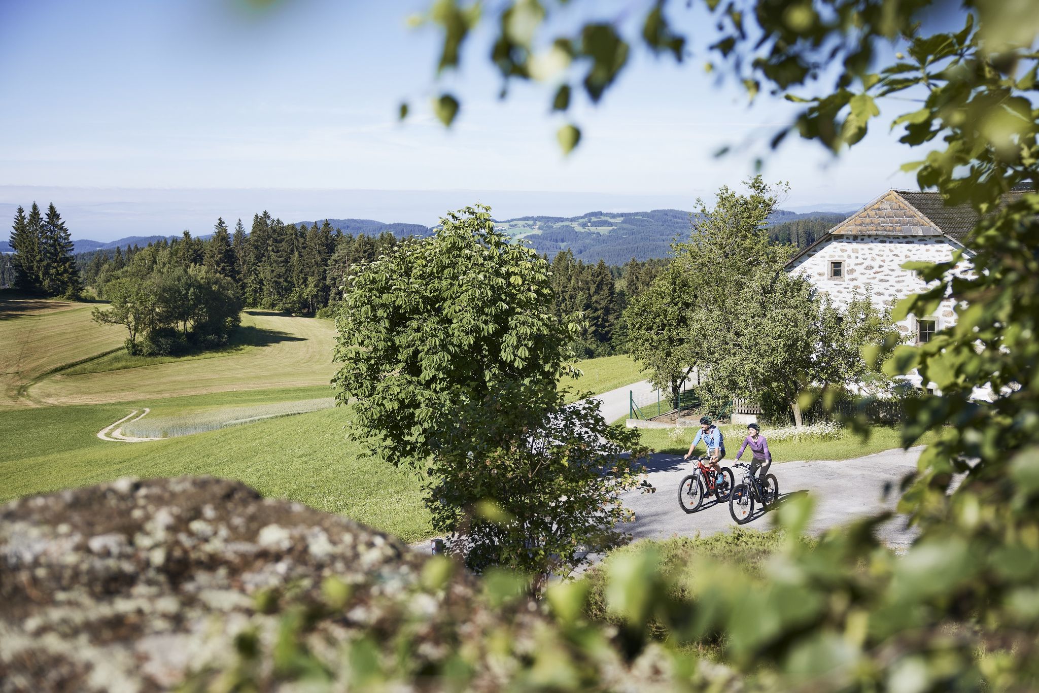
Bus station hiking trails around Königswiesen are set within the Mühlviertel region of Austria, characterized by rolling hills, forests, and deeply furrowed valleys. The landscape features granite formations, including notable boulders, and is traversed by the Große Rodl and Kleine Rodl rivers. This area offers a mix of meadows, pastures, and wooded slopes, providing varied terrain for outdoor activities.
Best bus station hiking trails around Königswiesen
- The most popular bus station hiking route is Königswiesen Parish Church – Large Horse…
Last updated: August 7, 2026
4.6
(20)
102
hikers
12.8km
03:42
310m
310m
Moderate hike. Good fitness required. Easily-accessible paths. Suitable for all skill levels.
4.5
(18)
97
hikers
Moderate hike. Good fitness required. Easily-accessible paths. Suitable for all skill levels.

Sign up for free
4.7
(16)
75
hikers
12.2km
03:36
360m
360m
Moderate hike. Good fitness required. Easily-accessible paths. Suitable for all skill levels.
4.7
(7)
54
hikers
17.4km
05:22
610m
610m
Hard hike. Very good fitness required. Easily-accessible paths. Suitable for all skill levels.
4.8
(8)
51
hikers
16.9km
04:57
460m
460m
Moderate hike. Good fitness required. Easily-accessible paths. Suitable for all skill levels.
Get access to more routes and recommendations from other explorers.
Sign up for free
Already have an account?
Our route recommendations are based on thousands of hikes, rides, and runs completed by other people on komoot.
Start today with a free account
Your next adventure awaits.
Login or Signup
Popular around Königswiesen
Other adventures around Königswiesen

Tips from the Community

At this point is the so-called "Ochsenfelsen", a steep rock face made of the typical granite blocks found here. The nice paths along the Naarn can be found further upstream after the small power station.
0
0

A few meters from the hiking trail, the path climbs steeply to the forest andacht (forest prayer room). A bench invites you to pause for a moment.
0
0
You can climb the Kanzelberg on beautiful iron ladders, but the view is just forest and more forest.
0
0
You'll find a coffee machine, chilled drinks, and granola bars here. A very well-maintained rest stop awaits you.
0
0


Was here during my "Johannesweg hike". Very nice atmosphere and the homemade apple strudel was simply delicious.😍
1
0
It's worth going up here😉⚜️
1
1
Frequently Asked Questions
How many bus-accessible hiking trails are there around Königswiesen?
There are over 40 hiking trails around Königswiesen that are easily accessible by bus. These routes offer a diverse range of experiences, including 11 easy, 29 moderate, and 4 difficult options, ensuring there's something for every hiker.
What kind of terrain can I expect on bus-accessible hikes in Königswiesen?
The terrain around Königswiesen is quite varied, featuring rolling hills, dense forests, and picturesque river valleys. You'll encounter the unique
Mühlviertler Granite Highlands with impressive rock formations, as well as open meadows and pastures. Trails often follow the clear waters of the Große Rodl and Kleine Rodl rivers.
Are there family-friendly hiking trails accessible by bus in Königswiesen?
Yes, Königswiesen offers several family-friendly options. The region is home to the "Zauberwald" Children's Adventure Trail, designed for young explorers to discover nature playfully. Many easy and moderate routes are also suitable for families with children.
Can I find circular hiking routes that start and end at a bus station?
Absolutely. Many routes in the area are designed as circular walks, allowing you to start and finish at the same point, often conveniently near a bus stop. An excellent example is the Königswiesen Parish Church – Large Horse Watering Place loop, which offers varied landscapes and granite formations.
What natural landmarks or viewpoints can I see on these bus-accessible hikes?
You'll discover numerous natural landmarks and stunning viewpoints. Highlights include the impressive granite formations like the "Wackelstein" and "Wegererstein", and the historic
Lohnbach Waterfall. For panoramic views, consider routes leading to the "Himmelsleiter" Lookout Point or the Summit Cross at Königswiesen.
Are there any routes that pass by historical sites or castles?
Yes, some routes offer glimpses of historical sites. For instance, the Ruttenstein Shelter – Ruins of Ruttenstein Castle loop from Mönchdorf takes you past the scenic Ruins of Ruttenstein Castle, providing a historical element to your hike.
What is the best time of year to go hiking from bus stations in Königswiesen?
Spring and autumn are particularly recommended for hiking in Königswiesen. During these seasons, nature displays vibrant colors, from blooming flower meadows in spring to rich autumn foliage, complemented by pleasant temperatures. While beautiful, winter hiking requires appropriate gear and checking trail conditions.
Are there any bus-accessible hikes that are part of longer pilgrimage routes?
Yes, parts of the multi-stage
Johannesweg pilgrimage route pass through Königswiesen. These sections offer a wonderful way to experience the beauty of the eastern Mühlviertel, often featuring significant rock formations. You can explore a segment like the Summit Cross at Königswiesen – Johannesweg Hut loop.
What do other hikers enjoy most about the bus-accessible trails in Königswiesen?
The komoot community highly rates the hiking experience in Königswiesen, with an average score of 4.6 stars from over 2,300 ratings. Reviewers often praise the diverse and captivating natural landscape, the well-maintained trails, and the impressive granite formations and panoramic views found along the routes.
Are there any bus-accessible routes that lead to a summit cross?
Yes, you can find routes that lead to summit crosses, offering rewarding views. The Summit Cross at Königswiesen – Johannesweg Hut loop is a great moderate option that takes you to a summit cross, providing excellent vistas of the surrounding Mühlviertel region.
Are there any challenging bus-accessible hikes for experienced hikers?
For experienced hikers seeking a challenge, there are difficult bus-accessible routes available. An example is the Summit Cross at Königswiesen – Wegererstein loop, which covers a longer distance and features significant elevation gain, leading you to impressive granite formations like the Wegererstein.
Most popular routes around Königswiesen
Most popular attractions around Königswiesen

Get inspired with the komoot mobile app


Explore more
Browse the best Hikes in other regions.
