The best gravel rides around Königswiesen
5.0
(2)
24
riders
6
rides
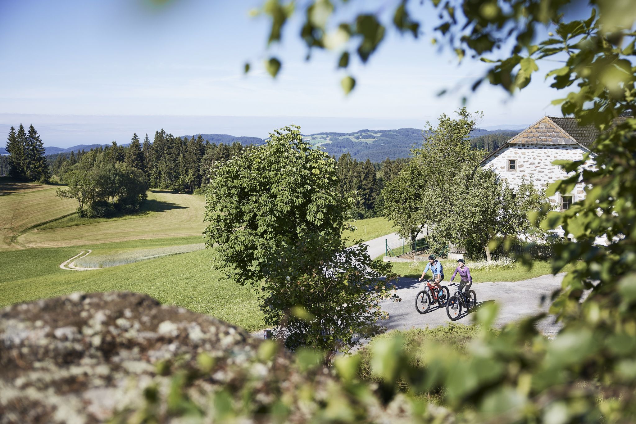
Gravel biking around Königswiesen offers routes through a landscape characterized by dense forests, rolling hills, and granite formations. The region features a network of trails that traverse varied terrain, including forest paths and open areas. Elevation changes are common, providing challenging climbs and descents suitable for experienced gravel bikers. The area's natural features contribute to a diverse riding experience.
Best gravel bike trails around Königswiesen
- The most popular gravel bike trail is Rubner Pond in the Tannermoor – Rubenerteich loop from Liebenau, a 35.8 miles (57.6 km) trail that takes 4 hours 2 minutes to complete. This route features significant elevation gain through forested areas and past water bodies.
- Another top favourite among local gravel bikers is Along the Granittrail – Groß Gerungs Railway Station loop from Arbesbach, a difficult 21.0 miles (33.8 km) path. This trail navigates through a landscape marked by granite features and offers varied forest scenery.
- Local gravel bikers also love the Rechberg Village Center – Mountain of Forgetting loop from Rechberg, a 17.2 miles (27.7 km) trail leading through forested hills and rural landscapes, often completed in about 2 hours 20 minutes.
- Gravel biking around Königswiesen is defined by dense woodlands, granite formations, and rolling hills, with routes primarily catering to advanced gravel routes near Königswiesen. The network offers options for different ability levels, though most are rated difficult.
- The routes in Königswiesen are highly rated by the komoot community with an average score of 5.0 stars from 3 reviews. More than 20 gravel bikers have used komoot to explore Königswiesen's varied terrain.
Last updated: May 21, 2026
4
riders
57.6km
04:02
1,110m
1,110m
Hard gravel ride. Very good fitness required. Mostly paved surfaces. Suitable for all skill levels.
2
riders
33.8km
02:32
560m
560m
Hard gravel ride. Very good fitness required. Mostly paved surfaces. Suitable for all skill levels.

Sign up for free
2
riders
27.7km
02:20
780m
780m
Hard gravel ride. Very good fitness required. Mostly paved surfaces. Suitable for all skill levels.
5.0
(1)
2
riders
23.5km
01:52
510m
510m
Hard gravel ride. Very good fitness required. Mostly paved surfaces. Suitable for all skill levels.
3
riders
29.9km
02:05
490m
490m
Hard gravel ride. Very good fitness required. Mostly paved surfaces. Suitable for all skill levels.
Our route recommendations are based on thousands of hikes, rides, and runs completed by other people on komoot.
Start today with a free account
Your next adventure awaits.
Login or Signup
Other adventures around Königswiesen

Tips from the Community

Cozy resting place in the forest along the mountain bike trail.
0
0


Schönbach was first documented as a market town in 1351 and had belonged to the Rappottenstein domain since the 14th century. Pilgrimages to "Our Lady Maria Rast" were already mentioned in 1421. Construction of the present church began in 1450; the previous one had become too small. The church was consecrated in 1457. From 1698 to 1828, Schönbach was a Hieronymite monastery. In 1700, Schönbach became an independent parish. The monastery and church were severely damaged in the village fire of 1849. Valuable archival material was lost.
0
0
In 1900, the chapel became a parish church, the rectory was built, and the House of Habsburg assumed patronage for the next 100 years. In 1924, Bärnkopf became an independent parish. On August 15, 1905, Bishop Johannes Baptist Rößler signed the deed of foundation for the parish.
0
0
Beautiful forest section where you can make good progress.
0
0

Nice little spot near Arbesbach.
1
0

A beer after the tour on the terrace at Franz & Tobias - Gasthof Karlinger - directly on the market square of Königswiesen
0
0

Beautiful place with some guesthouses, campsite, swimming lake, recommended for a short break with many highlights in the surrounding area
0
0
Frequently Asked Questions
What is the typical difficulty level of gravel bike trails around Königswiesen?
The gravel bike trails around Königswiesen are generally considered difficult. The region's landscape, characterized by rolling hills and significant elevation changes, means most routes are best suited for experienced gravel bikers looking for a challenge.
Are there any long-distance gravel bike routes available in Königswiesen?
Yes, for those seeking a longer ride, the Rubner Pond in the Tannermoor – Rubenerteich loop from Liebenau is a notable option. This challenging route spans 35.8 miles (57.6 km) and features substantial elevation gain through forested areas and past water bodies.
Are the gravel bike trails around Königswiesen suitable for families or beginners?
Given that all listed gravel bike routes in Königswiesen are rated as difficult, they are generally not recommended for beginners or young families. The terrain often includes challenging climbs and descents, requiring a good level of fitness and gravel biking experience.
What kind of terrain can I expect on the gravel bike trails in Königswiesen?
You can expect a diverse terrain featuring dense forests, rolling hills, and distinctive granite formations. The trails often traverse a mix of forest paths and open areas, with common elevation changes that provide both challenging ascents and descents.
What are some natural attractions or viewpoints along the gravel bike trails?
The region offers several natural highlights. You might encounter features like the Lohnbachfall – Steinerne Stube waterfall or explore the Wolfsschlucht Nature and Culture Trail. Many routes also pass by beautiful lakes such as Rubner Pond in the Tannermoor or Rechberg Bathing Lake.
Are there any circular gravel bike routes in Königswiesen?
Yes, all the featured gravel bike routes in Königswiesen are designed as loops. For example, the Along the Granittrail – Groß Gerungs Railway Station loop from Arbesbach offers a challenging 21.0-mile (33.8 km) circular path through granite landscapes and varied forest scenery.
What is the best time of year to go gravel biking in Königswiesen?
The best time for gravel biking in Königswiesen is typically from spring through autumn. During these seasons, the weather is generally more favorable, and the forest paths are less likely to be affected by snow or ice, allowing for better trail conditions.
What are the winter conditions like for gravel biking in Königswiesen?
Winter conditions in Königswiesen can be challenging for gravel biking. The region's dense forests and higher elevations mean trails can be covered in snow or ice, making them potentially impassable or hazardous. It's advisable to check local weather and trail conditions before planning a winter ride.
What do other gravel bikers say about the routes in Königswiesen?
The gravel biking routes in Königswiesen are highly regarded by the komoot community, holding an average score of 5.0 stars from 3 reviews. Riders often praise the challenging terrain, the scenic beauty of the forests and granite formations, and the diverse riding experience.
How many gravel bike trails are available in the Königswiesen area?
There are several gravel bike trails available around Königswiesen, with komoot featuring 7 distinct routes. These routes primarily cater to advanced riders due to their difficult rating and significant elevation changes.
Are there any lesser-known or 'hidden gem' gravel routes in Königswiesen?
While all routes offer unique experiences, the The Forest Railway – Dürnbergteich loop from Schönbach is a great option for exploring a slightly different part of the region. This 29.9 km (18.6 miles) route offers a challenging ride through forested landscapes and past the Dürnbergteich lake.
Where can I find parking for the gravel bike trails?
Specific parking information varies by trailhead. For routes like the Forest Trail Near Hörzenschlag – Königswiesen loop from Königswiesen, you would typically look for parking in or near the starting village of Königswiesen. It's recommended to check the individual route details on komoot for the most precise parking suggestions.
Most popular routes around Königswiesen
Most popular attractions around Königswiesen

Get inspired with the komoot mobile app


Explore more
Browse the best Gravel rides in other regions.
