The best hikes from bus stations around Arnoldstein
4.5
(3482)
18,036
hikers
31
hikes
Bus station hiking trails around Arnoldstein are situated in the southern Austrian state of Carinthia, at the tripoint of Austria, Italy, and Slovenia. The region is characterized by the Carnic Alps and Karawanken mountain ranges, offering varied terrain from the scenic Gail River Valley to the higher elevations of Dreiländereck Mountain. The landscape features a mix of alpine meadows, dense forests, and dramatic mountain vistas.
Best bus station hiking trails around Arnoldstein
- The most popular bus station hiking route is…
Last updated: July 10, 2026
5.0
(2)
10
hikers
19.6km
06:58
1,120m
1,120m
Hard hike. Very good fitness required. Mostly accessible paths. Sure-footedness required.
4.5
(35)
159
hikers
18.0km
06:32
1,100m
1,100m
Hard hike. Very good fitness required. Mostly accessible paths. Sure-footedness required.

Sign up for free
4.7
(38)
182
hikers
12.4km
04:44
810m
810m
Moderate hike. Good fitness required. Mostly accessible paths. Sure-footedness required.
4.3
(15)
115
hikers
10.2km
04:31
800m
800m
Moderate hike. Good fitness required. Mostly accessible paths. Sure-footedness required.
4.6
(63)
384
hikers
Moderate hike. Good fitness required. Easily-accessible paths. Suitable for all skill levels.
Get access to more routes and recommendations from other explorers.
Sign up for free
Already have an account?
Our route recommendations are based on thousands of hikes, rides, and runs completed by other people on komoot.
Start today with a free account
Your next adventure awaits.
Login or Signup
Popular around Arnoldstein
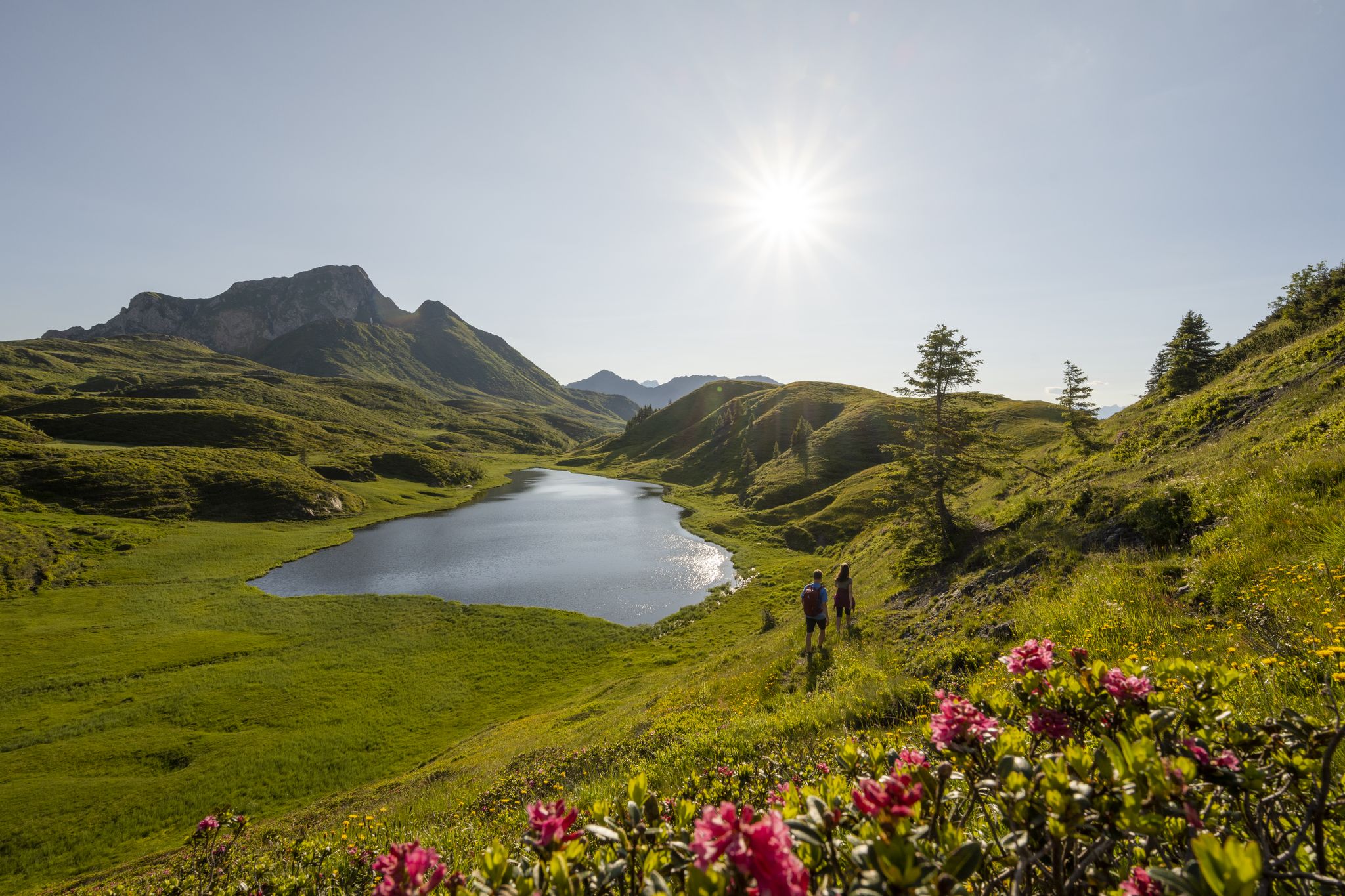
Long hikes on the southern side of the Austrian Alps – in Carinthia
Southern Alpine Trail – Styrian vineyards and the Carnic Alps in Austria
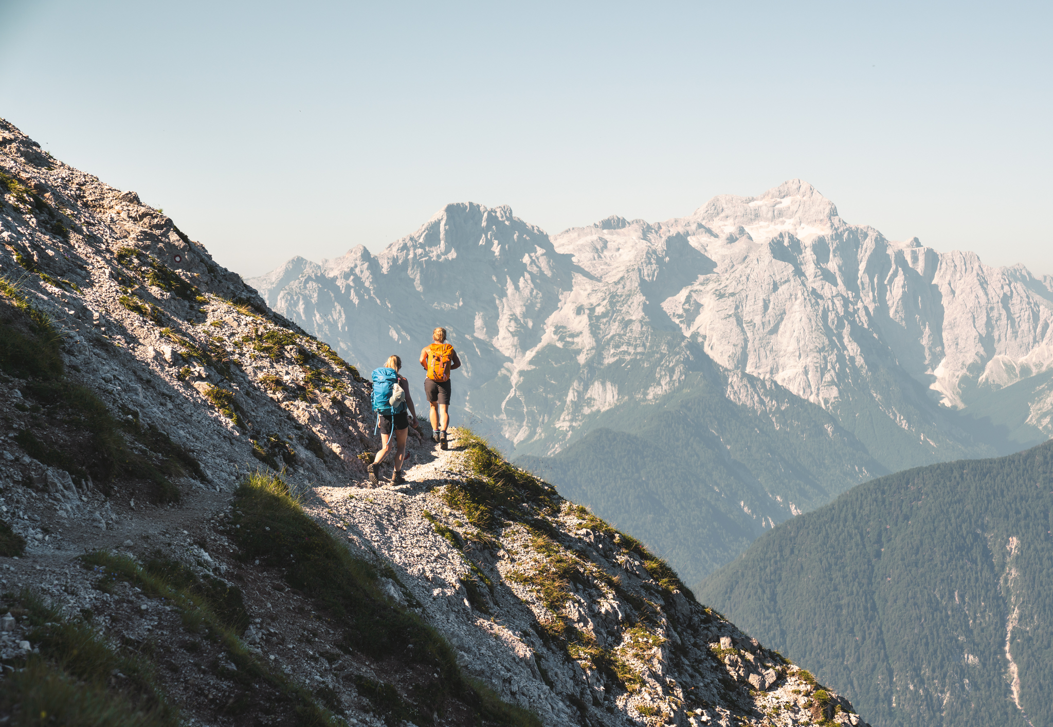
Sunny adventures on the Southern Alps Panorama Trail
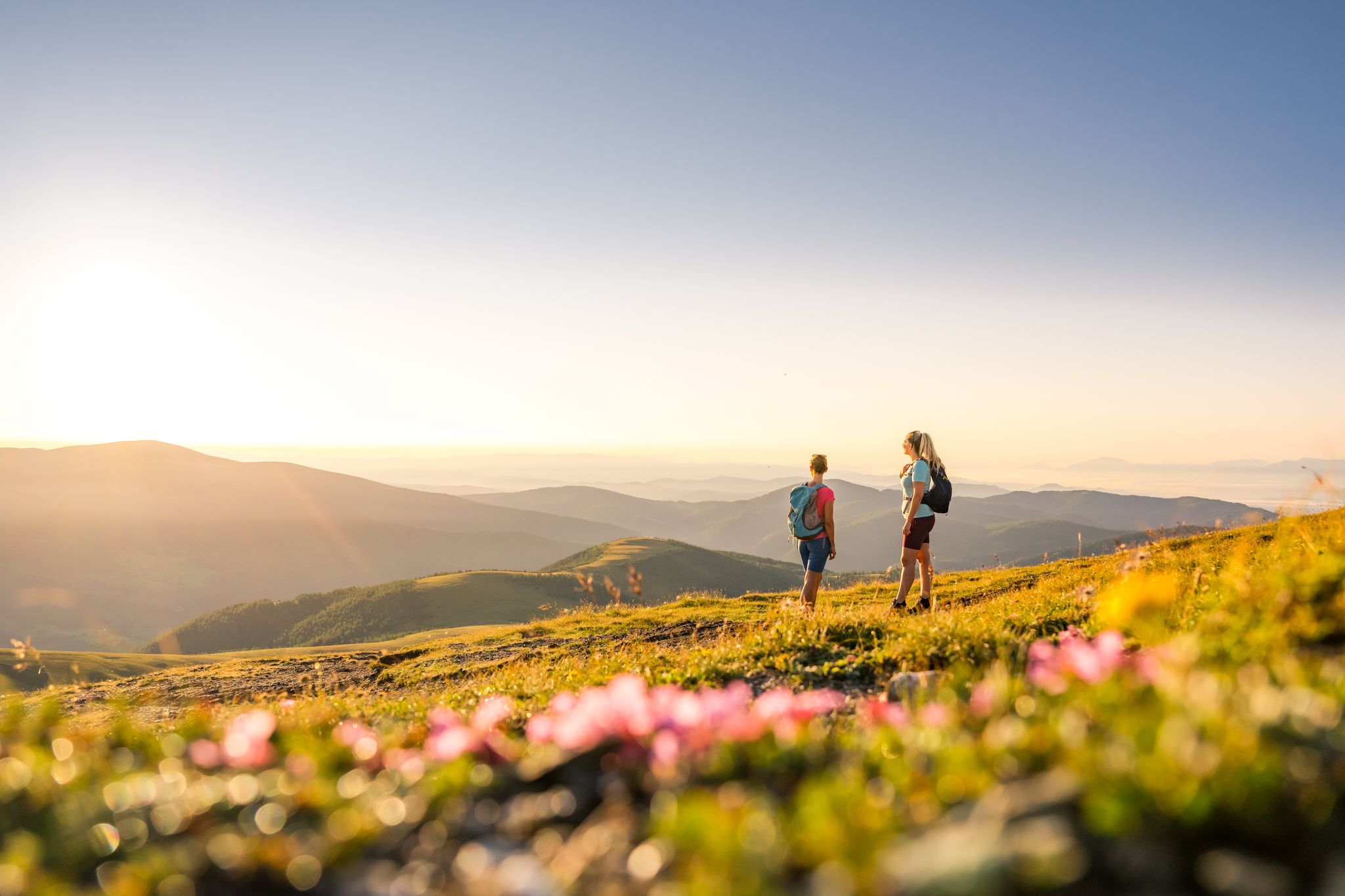
Spectacular and historic – long-distance hiking in Carinthia
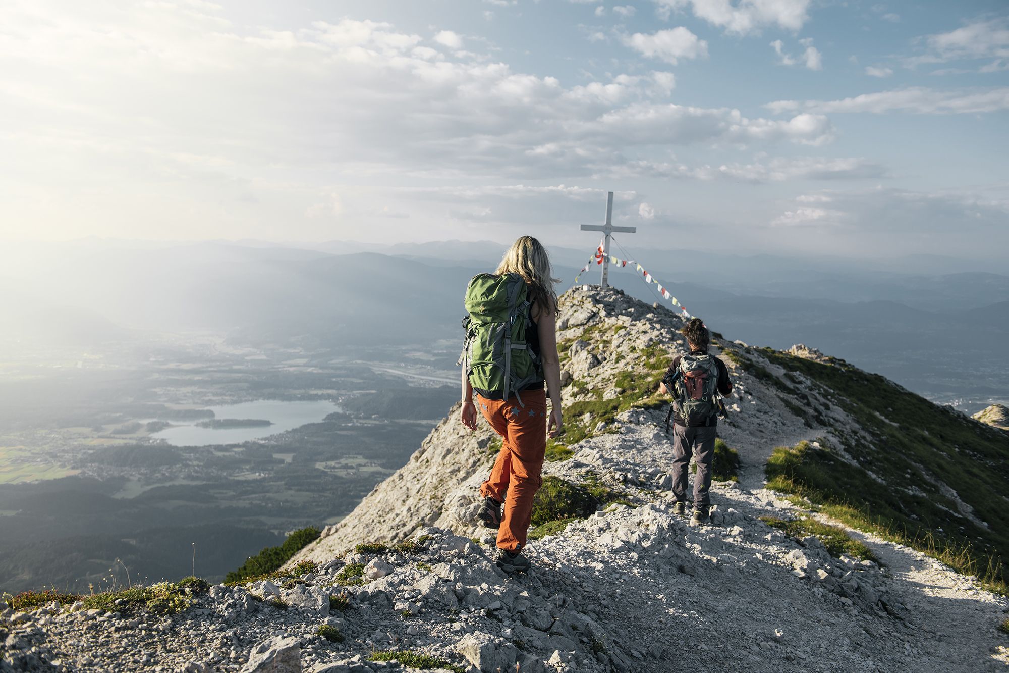
Hike to the most beautiful views around Villach in Austria
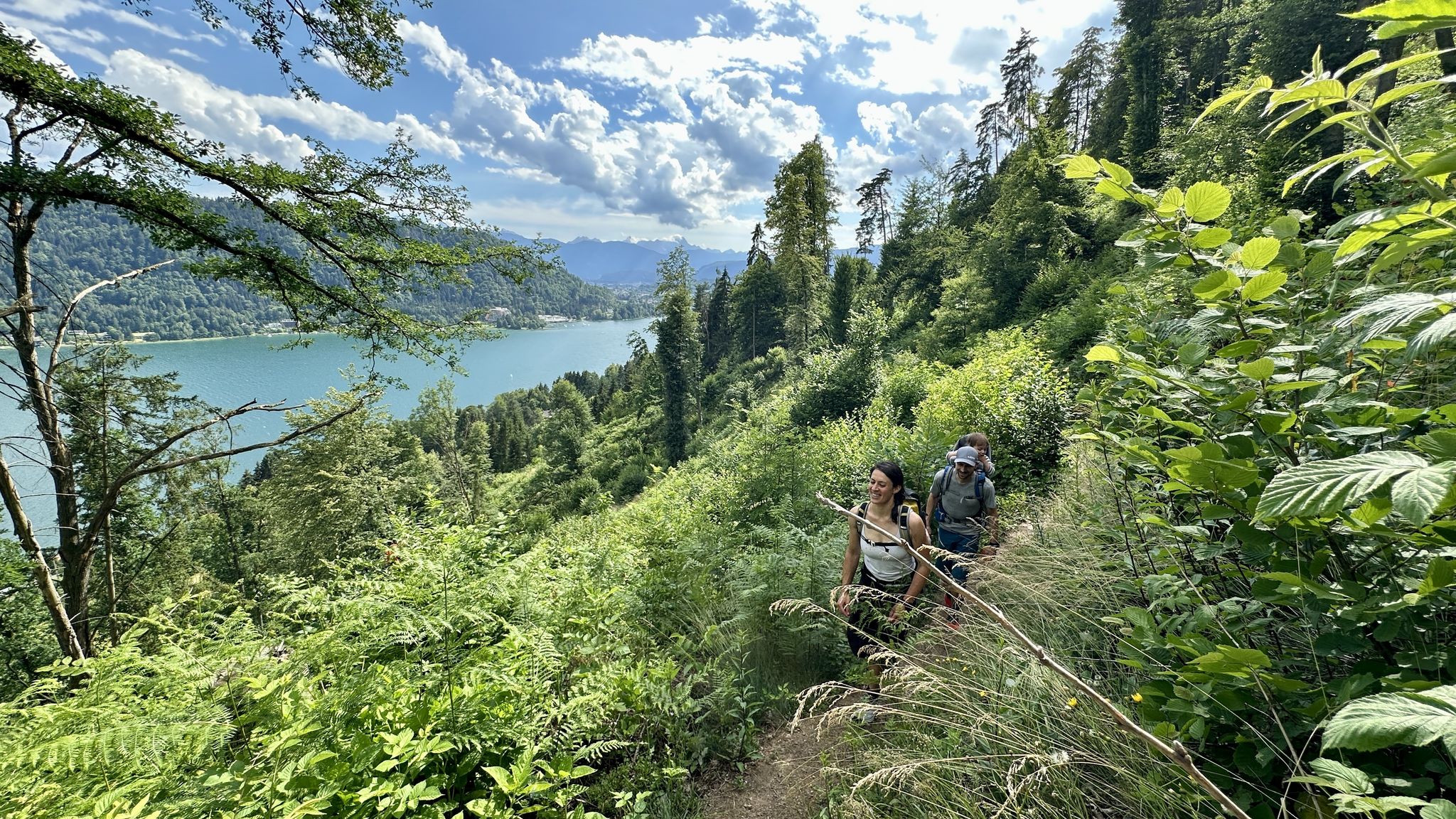
Rail & Trail: Bahnwandern in Kärnten
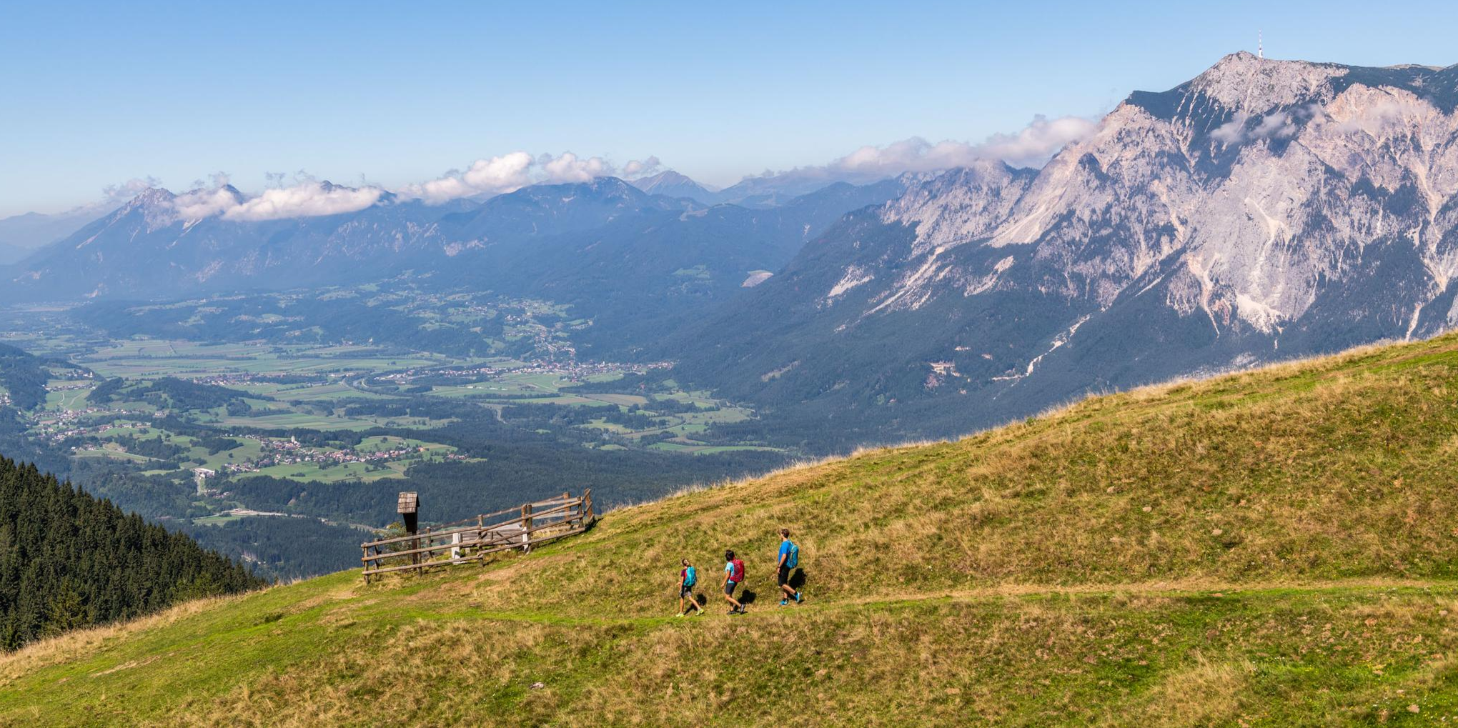
Grenzenlos unterwegs am Drei.Länder.Eck
Other adventures around Arnoldstein


Tips from the Community

Right next to the mountain station of Dreiländereck, an impressive terrace of the Carinthian mountains awaits you. From here, the view extends south to the Julian Alps. You can find current opening hours and all information about the gastronomy at https://www.3laendereck.at/de/huetten.
1
0
A station of the BORDERless Wildlife. Very chic sculptures. More information and tips on the other stations can be found on an information board on site.
1
0

The church is located along the pilgrimage and cycling path, next to a farm and in a pasture. The pasture can also be ridden through when used by herds. Sometimes there may be cows or horses standing directly on the path. The water source is an excellent refuelling station for cyclists.
0
0

…Maria Siebenbrünn 👀
2
0

From the Slovenian side, the gravel is perfectly rideable. Easy gravel/forest path. However, parts of the descent into Austria are significantly more difficult on gravel. Not much fun, but a lot of technical stuff. More for experienced mountain bikers.
0
0

The service was really okay. It doesn't absolutely blow you away here. But it's definitely not a waste of time to sit here. When the circular trail is completed, it will probably be even better for children.
0
1

Magnificent. You have a great view of the mountains and the valley and whoever wants to, it's actually a must, stops at the Dreiländereck hut and enjoys the food.
0
0

Beautiful view of the Julian Alps. Unfortunately, it's also the only great one on the Three Countries Tour (apart from the cable car station and the border triangle), as the tour runs beautifully through the forest.
0
0
Frequently Asked Questions
How many bus-accessible hiking trails are there around Arnoldstein?
There are over 30 bus-accessible hiking trails around Arnoldstein, offering a wide range of options for different fitness levels. You'll find everything from easy walks to challenging mountain treks.
Are there easy bus-accessible hikes suitable for beginners near Arnoldstein?
Yes, Arnoldstein offers many easy bus-accessible hikes perfect for beginners. Out of the available routes, 16 are classified as easy, providing gentle terrain and beautiful scenery without demanding too much effort.
What is the best time of year for bus-accessible hiking in Arnoldstein?
The region benefits from a mild climate, making spring and autumn particularly ideal for hiking. The lush vegetation and comfortable temperatures enhance the experience, though summer also offers great conditions, especially in higher elevations.
Are there any circular bus-accessible routes from Arnoldstein's bus station?
Absolutely. Many routes are designed as loops, allowing you to start and end your hike conveniently at the bus station. For example, the Tri-Border Hut loop from Arnoldstein is a popular circular option that takes you through stunning landscapes.
Can I find challenging bus-accessible hikes in the Arnoldstein area?
Yes, for experienced hikers seeking a challenge, Arnoldstein provides several difficult bus-accessible routes. There are 3 difficult trails available, such as the demanding Steinberg and Maria Siebenbrünn Loop, which features significant elevation gain and stunning views.
Are there bus-accessible hiking trails near Arnoldstein that are dog-friendly?
Most hiking trails in the Arnoldstein region are dog-friendly, provided your dog is kept on a leash and you clean up after them. The diverse landscapes, from valley paths to mountain trails, offer plenty of opportunities for you and your canine companion to explore. Always check local signage for specific restrictions.
Are there bus-accessible family-friendly hikes around Arnoldstein?
Yes, Arnoldstein is a great destination for family-friendly hikes accessible by bus. Many of the easier routes are suitable for children, offering manageable distances and interesting sights. The Kärntner Grenzwanderweg (Carinthian Border Trail) is also known for being particularly suitable for families.
Are there any bus-accessible hikes with waterfalls near Arnoldstein?
Yes, you can find bus-accessible hikes that feature beautiful waterfalls. Consider the Wall With Waterfall – View of the Villach Alps loop from Arnoldstein, which offers a chance to experience this natural wonder as part of your adventure.
What kind of landscapes can I expect on bus-accessible hikes in Arnoldstein?
Hikes in Arnoldstein offer incredibly diverse landscapes due to its unique location at the tripoint of Austria, Italy, and Slovenia. You'll encounter the majestic Carnic Alps and Karawanken mountain ranges, the scenic Gail River Valley, and panoramic views from peaks like Dreiländereck and Dobratsch. Expect a mix of alpine meadows, dense forests, and dramatic rock formations.
What interesting sights or landmarks can I see along bus-accessible hiking trails near Arnoldstein?
The region is rich in natural beauty and historical significance. Along various trails, you might encounter highlights such as the Vršič Pass, the serene Lago di Fusine Inferiore, or the picturesque Zelenci Nature Reserve. Many routes also offer views of Lake Faak and the Dobratsch Summit, which includes the historic Church of Maria am Stein.
What do other hikers enjoy most about bus-accessible trails in Arnoldstein?
The bus-accessible trails in Arnoldstein are highly rated by the komoot community, with an average score of 4.49 stars. Hikers frequently praise the stunning panoramic views, the well-maintained paths, and the unique experience of exploring a tri-country border region. The accessibility by public transport is also a significant plus for many.
Most popular routes around Arnoldstein
Most popular attractions around Arnoldstein

Get inspired with the komoot mobile app


Explore more
Browse the best Hikes in other regions.
