The best traffic-free bike rides around Andermatt
4.6
(16)
345
riders
3
rides
No traffic gravel bike trails around Andermatt navigate a landscape defined by high alpine passes, dramatic gorges, and serene mountain valleys. The region is situated in the Ursern Valley, characterized by lush meadows, forests, and wild rivers like the Reuss. Gravel bikers encounter diverse terrain, from historic roads to alpine trails, with significant elevation changes. This varied topography offers both challenging climbs and rewarding descents through the Swiss Alps.
Best no traffic gravel bike trails around Andermatt
- The most popular…
Last updated: September 30, 2026
9
riders
14.0km
01:28
380m
380m
Moderate gravel ride. Good fitness required. Mostly paved surfaces. Suitable for all skill levels.
3
riders
Easy gravel ride. Great for any fitness level. Mostly paved surfaces. Suitable for all skill levels.

4.8
(8)
35
riders
27.3km
02:30
840m
840m
Hard gravel ride. Very good fitness required. Mostly paved surfaces. Suitable for all skill levels.
Our route recommendations are based on thousands of hikes, rides, and runs completed by other people on komoot.
Start today with a free account
Your next adventure awaits.
Popular around Andermatt
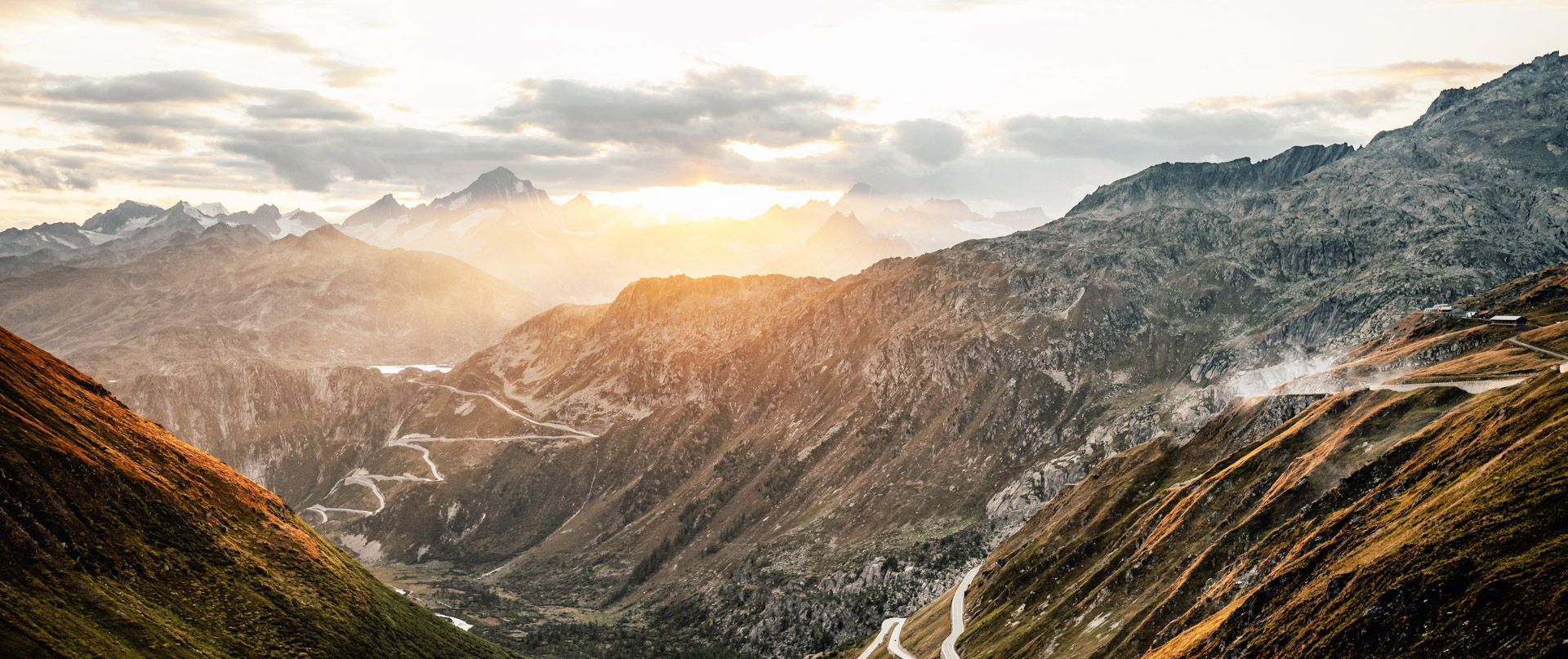
The Rhone Route – from glaciers to Lake Geneva

Trans Swiss Trail – Hiking across Switzerland

Via Gottardo – Following historic trails

The Rhine Cycle Path — From the source to the North Sea
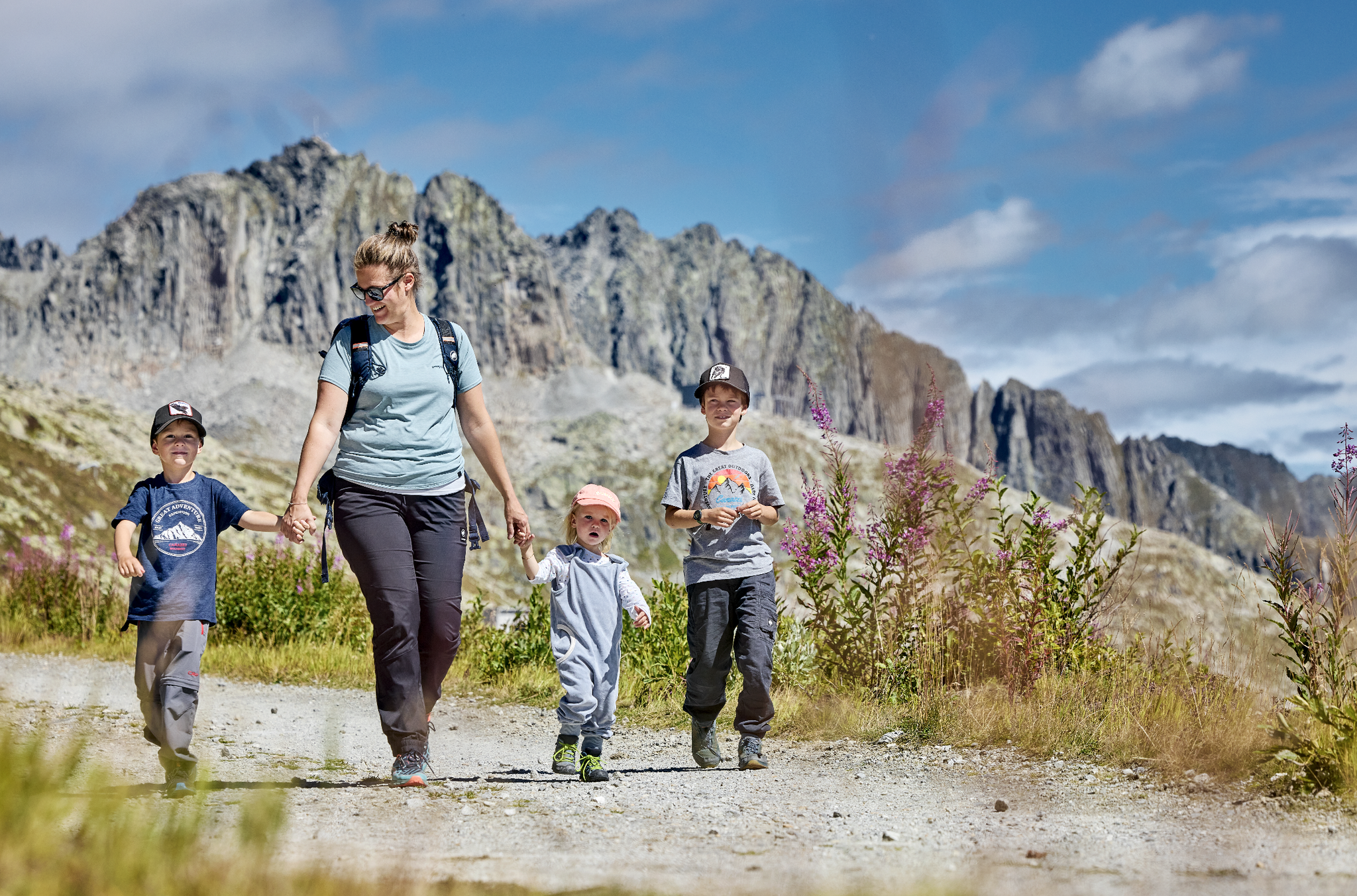
Mountain Playground – family adventures in Andermatt-Sedrun-Disentis
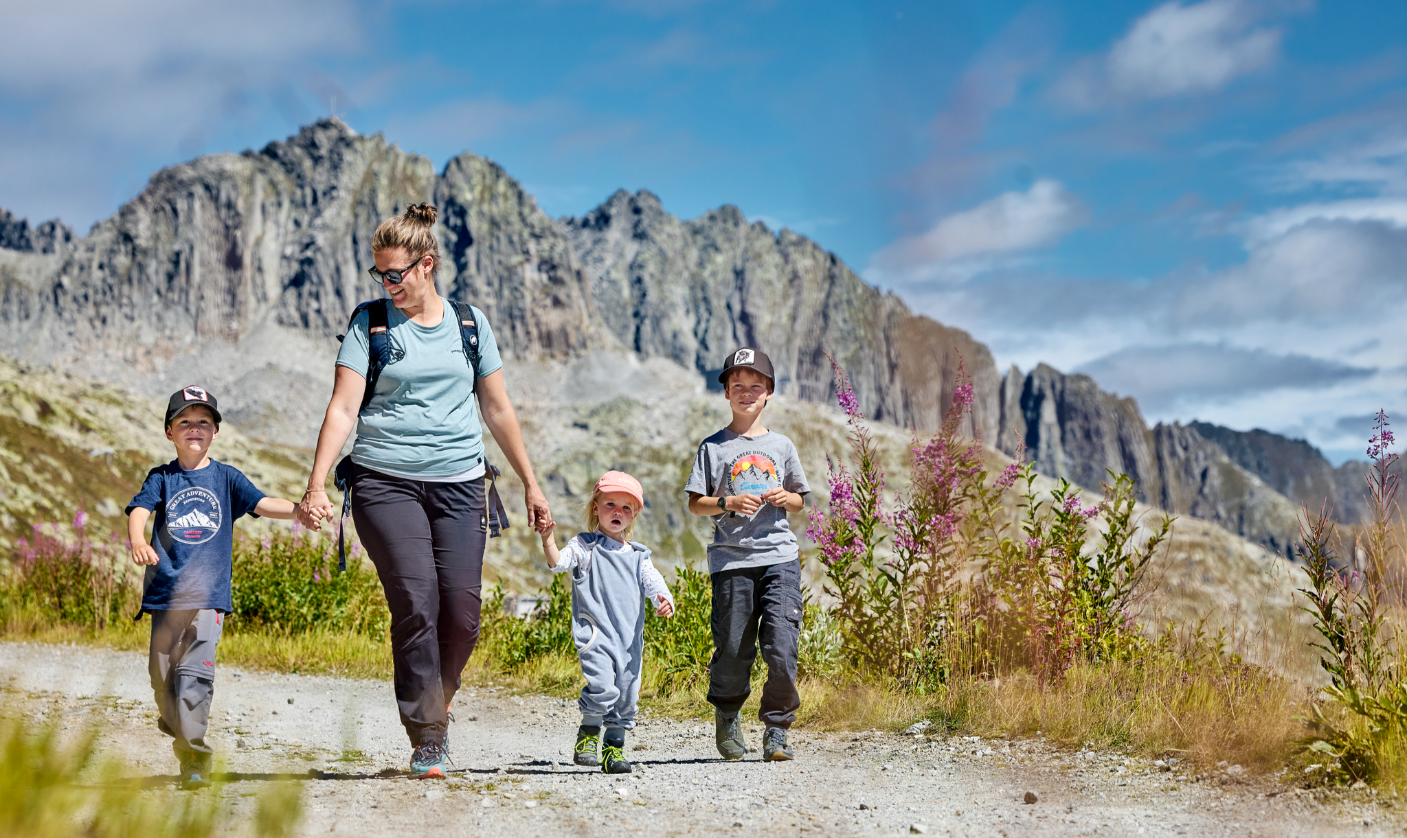
Mountain Playground – family adventures in Andermatt-Sedrun-Disentis
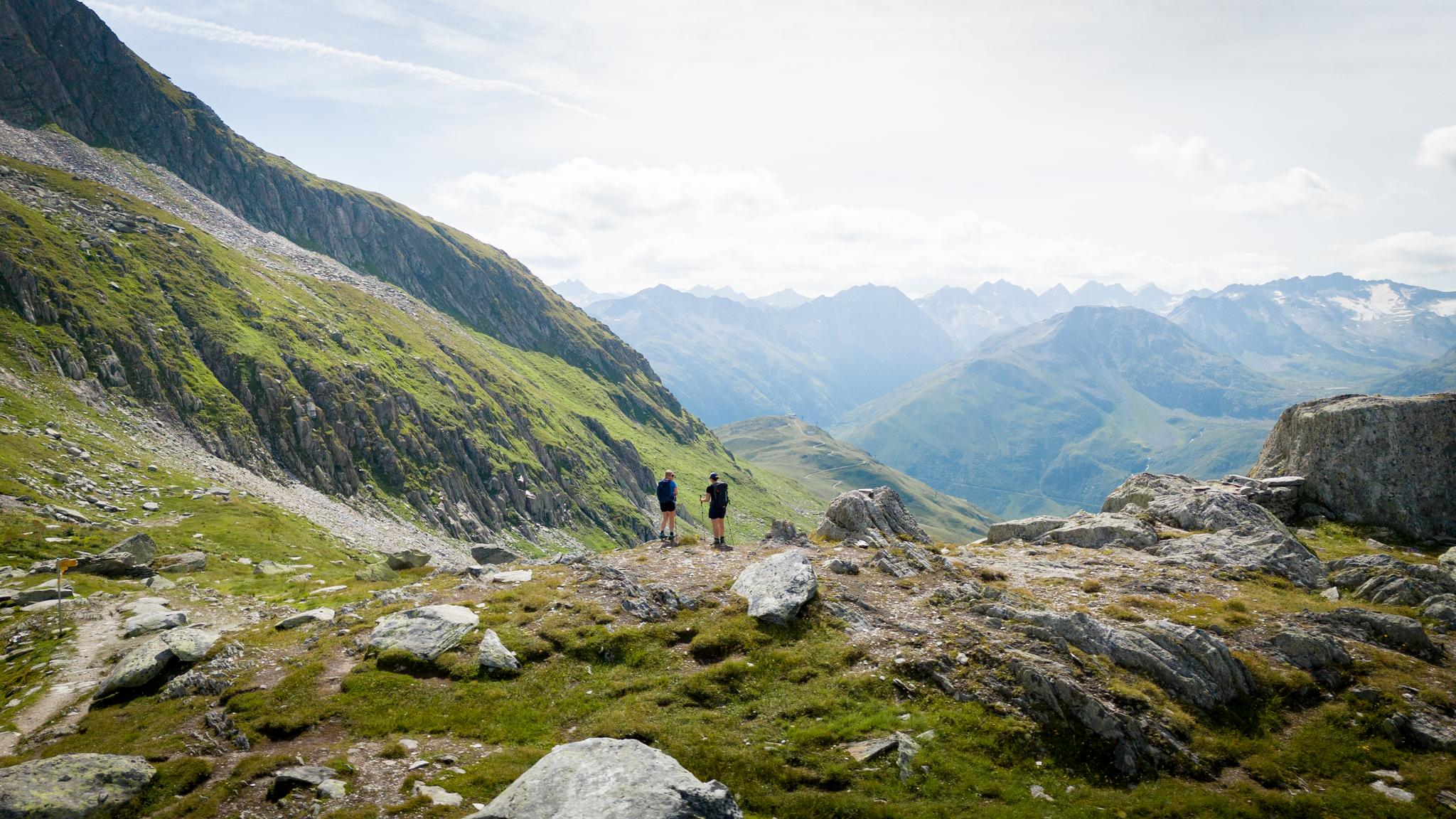
On the hunt for crystals and alpine lake magic – Gotthard Crystal Trek
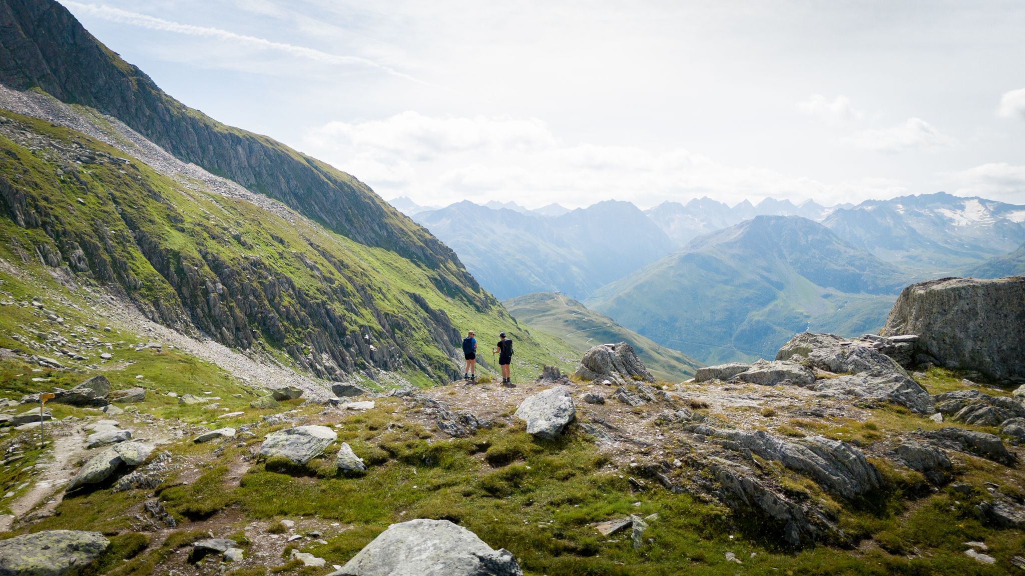
On the hunt for crystals and alpine lake magic – Gotthard Crystal Trek
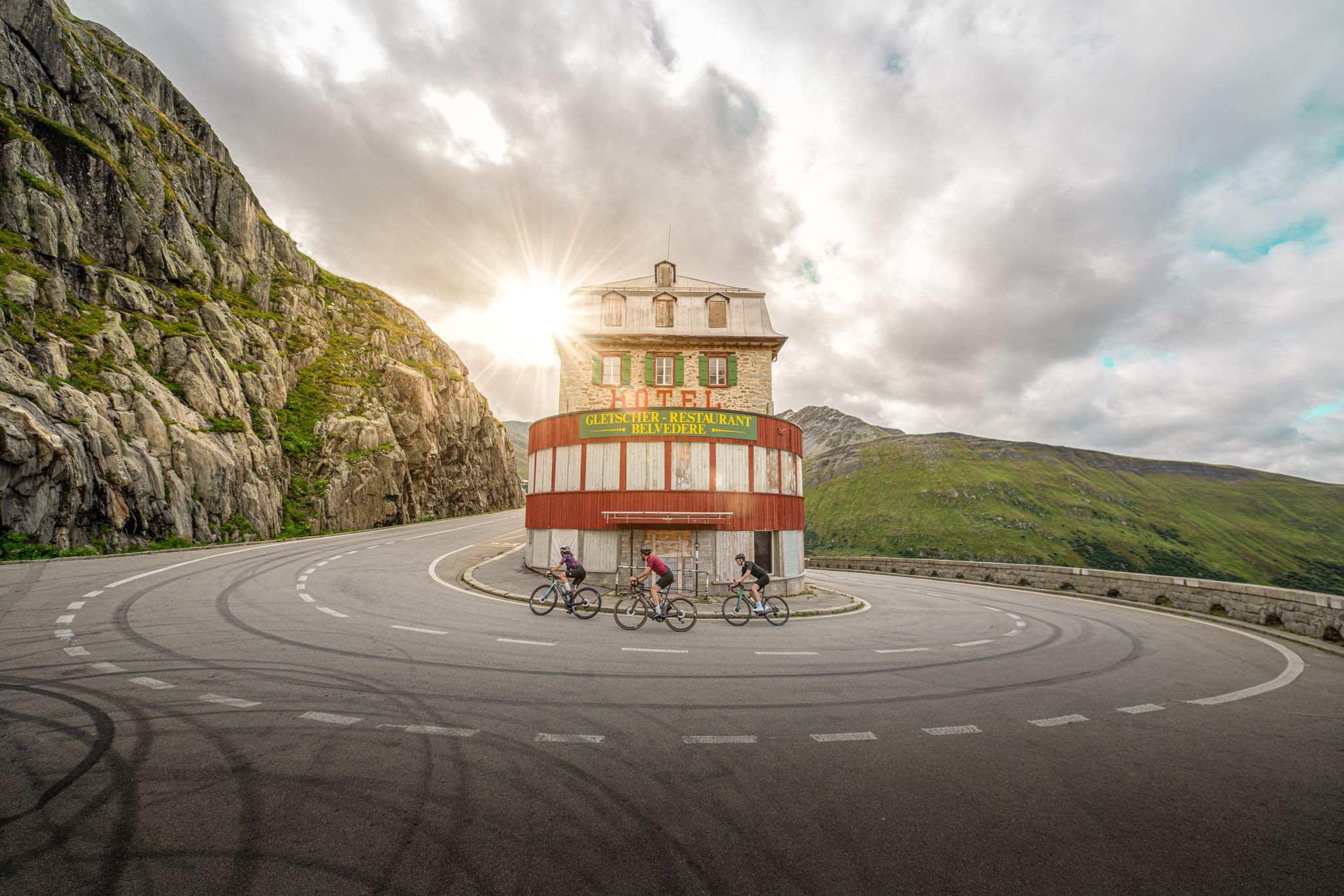
Road cycling to the alpine passes – routes around Andermatt
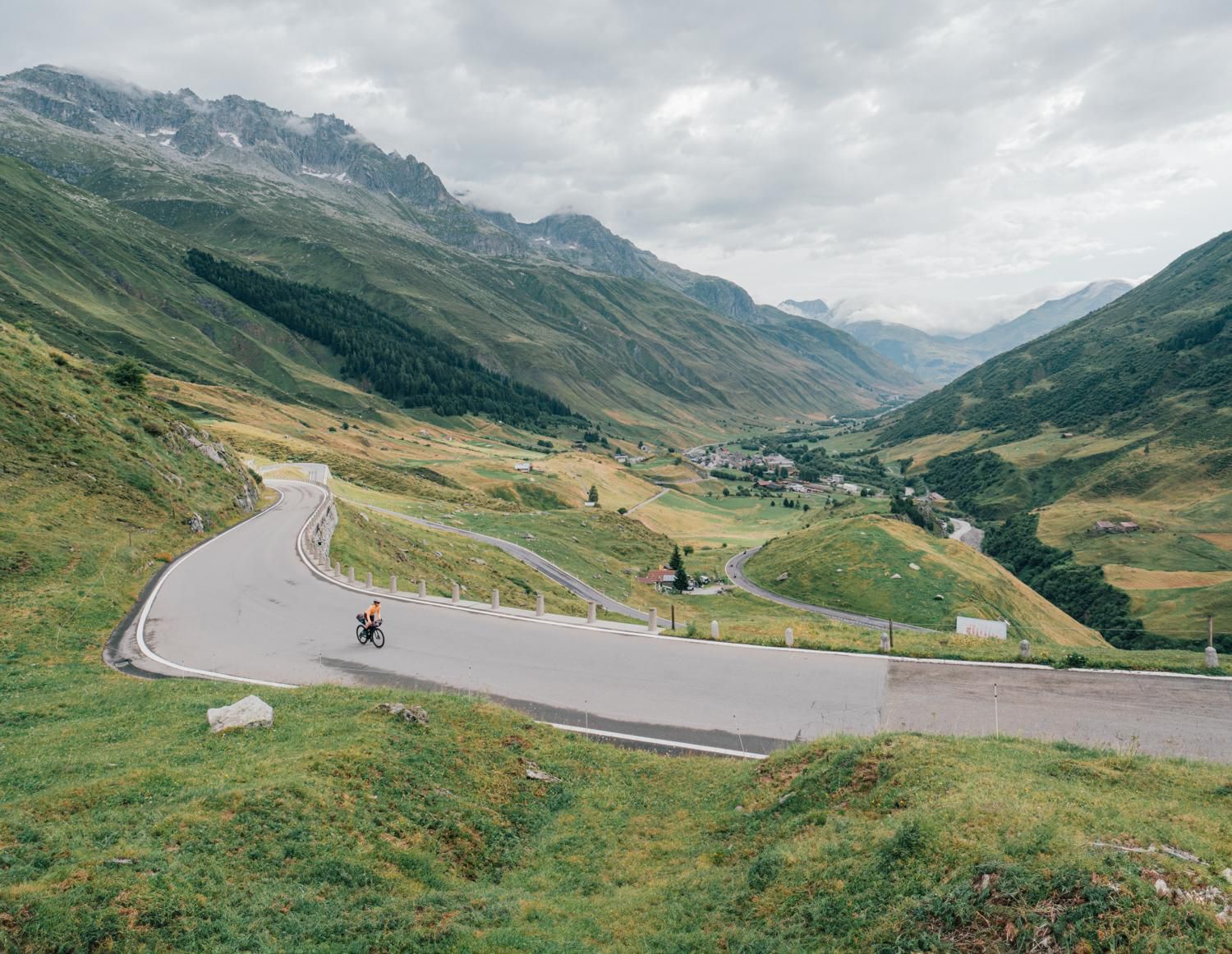
Discover Central Switzerland – ride Route 1291
Other adventures around Andermatt


Tips from the Community

Sedrun, in the heart of the Tujetsch Valley, is an unmissable stop along the Senda Sursilvana. Splendid hiking trails depart from here, passing through forests, mountain pastures, and spectacular Alpine panoramas. It's the ideal spot for those who love walking in the unspoiled nature of the Surselva.
2
0

Nice place and good restaurants
0
0

Beautiful, historic viaduct. Tip for amateur photographers: Wait until a Glacier Express train crosses the bridge. You can also get beautiful pictures when the viaduct is illuminated with changing colors in winter
1
0

Benedictine monastery of Dissentis Mustér Foundation The Frankish Sigisbert came up the Rhine in the company of Irish-Scottish wandering monks and built a hermitage in the uninhabited area of the Desertina. The local Rhaetian Placidus supported him. This led to the creation of the Disentis monastery around the year 700. The violent death of Placidus was seen as a martyrdom. The feast of the Disentis founding saints Placidus and Sigisbert is July 11th. It is celebrated on the Sunday before. Secularization and restoration During the secularization, Disentis escaped the fate of many abbeys - it was never repealed. The restoration of 1880 came after a change in mood among the people and the government. With the help of the Swiss Benedictine Congregation, Disentis was able to recover and flourish again under Abbot Benedikt Prevost (1888-1916). Present The Graubünden Oberland underwent rapid development in the 20th century: from self-sufficiency in mountain farming to a tourist region. The present-day monastery with a boarding school and pastoral care is a spiritual and intellectual center and feels solidarity with the population of the Cadi (from "Casa Dei", the former monastery) and the Surselva. Text / Source: Benedictine Monastery of Disentis, Via Claustra 1, Disentis / Mustér https://www.kloster-disentis.ch/ora/geschichte/
11
0


The original viaduct was built - with interruptions - between 1913 and 1925 and opened in 1926 by the Furka-Oberalp Railway. It is 120 meters long and spans the Val Bugnei with nine arches. When a Glacier Express train crosses the bridge, you will experience a real highlight.
4
0

Lake Lucendro is an artificial basin located in the canton of Ticino. It is powered by the Reuss and is part of the Airolo hydroelectric complex with the Lucendro dam, 73 meters high and built in 1947. It can be easily reached via a road that starts from the San Gottardo pass.
0
0

Beautiful view of the Vorderrheintal and towards the Lukmanierpass
0
0
Frequently Asked Questions
How many no-traffic gravel bike trails are available around Andermatt?
The Andermatt region offers a selection of traffic-free gravel bike routes, with at least 3 distinct tours featured in this guide. These range from easy loops to more challenging alpine rides, ensuring options for various skill levels.
What kind of terrain can I expect on no-traffic gravel bike trails in Andermatt?
Andermatt's no-traffic gravel trails offer a diverse and dramatic landscape. You'll encounter everything from historic gravel paths and alpine trails to sections with significant elevation changes, characteristic of the Swiss Alps. Expect breathtaking views of high alpine passes, lush valleys, and serene mountain lakes.
Are there any family-friendly no-traffic gravel bike routes in Andermatt?
Yes, there are options suitable for families. For an easier, less strenuous ride, consider the View of the Lucendro Dam – Lake Lucendro loop from Passo del San Gottardo. This route offers a manageable distance and elevation, perfect for enjoying the scenic beauty without heavy traffic.
What are some scenic landmarks or viewpoints I can discover on these routes?
Many routes offer stunning views and pass by notable landmarks. You might encounter dramatic gorges like the Schöllen Gorge and the historic Devil's Bridge. The region is also dotted with pristine alpine lakes such as Lago di Lucendro, offering picturesque stops. For a unique cultural insight, the View of Disentis Abbey – Val Bugnei Road loop from Sedrun offers views of the impressive Disentis Abbey.
When is the best time of year to go gravel biking in Andermatt to avoid traffic?
The prime season for gravel biking in Andermatt, especially for dry trails and stable weather conditions, is typically from June to September. While May and October are also viable, the summer months offer the most reliable conditions for enjoying the trails with minimal traffic, as many routes are specifically chosen for their quiet nature.
Are there any circular no-traffic gravel bike routes available?
Yes, several routes are designed as circular loops, allowing you to start and finish at the same point. An example is the Short Round, which provides a moderate loop experience. The View of the Lucendro Dam – Lake Lucendro loop is another excellent circular option.
How can I access the no-traffic gravel bike trails in Andermatt using public transport or find parking?
Andermatt is well-connected by public transport, making it accessible for cyclists. The village itself serves as a hub, and many trailheads are reachable from there. For those driving, parking facilities are available in and around Andermatt. It's advisable to check local parking options upon arrival, especially during peak season.
What do other gravel bikers enjoy most about the no-traffic trails in Andermatt?
The komoot community highly rates the gravel biking experience in Andermatt, with an average score of 4.875 stars. Reviewers often praise the region's stunning alpine panoramas, the challenge of the diverse terrain, and the tranquility of the traffic-free routes. The sense of adventure and immersion in nature are frequently highlighted.
Are there any challenging no-traffic gravel bike routes for experienced riders?
Absolutely. For experienced riders seeking a challenge, the Andermatt region offers demanding routes with significant elevation gains. The View of Disentis Abbey – Val Bugnei Road loop from Sedrun is classified as difficult, featuring substantial climbing and a longer distance, perfect for pushing your limits on quiet gravel paths.
Where can I find refreshments or accommodation along the no-traffic gravel bike routes?
Andermatt itself offers a range of amenities, including cafes, restaurants, and accommodation options. Along some of the more remote routes, you might find mountain huts or small villages that provide refreshments. For specific hut locations, you can explore the Huts and Cabins around Andermatt guide, which lists places like Maighelshütte and Cadlimo Hut.
Can I bring my dog on gravel bike trails in Andermatt?
Generally, dogs are welcome on many outdoor trails in the Swiss Alps, including gravel paths, provided they are kept under control, especially in areas with livestock or wildlife. It's always best to check local regulations for specific routes or protected areas. Ensure your dog is fit for the terrain and carry enough water for both of you.
What are some notable natural features I might encounter on these trails?
Beyond the dramatic passes, you'll experience the serene beauty of the Ursern Valley with its lush meadows and wild rivers like the Unteralpreuss. Many routes lead to pristine alpine lakes such as Lago di Lucendro, offering tranquil spots. The region's diverse topography ensures a constant change of scenery, from dense forests to open, high-alpine landscapes.
Most popular routes around Andermatt
Most popular attractions around Andermatt

Get inspired with the komoot mobile app


Explore more
Browse the best Gravel rides in other regions.
