The best mountain hikes around Andermatt
5.0
(40)
597
hikers
21
hikes
Mountaineering around Andermatt offers access to the high alpine terrain of the Swiss Alps, characterized by rugged peaks, deep valleys, and challenging mountain passes. The region features a landscape shaped by glaciers, with numerous high-altitude lakes and rocky ascents. These routes often involve significant elevation gains, traversing varied terrain from alpine meadows to exposed ridges.
Best mountaineering routes around Andermatt
- The most popular mountaineering route is Devil's Bridge (Teufelsbrücke) loop from Andermatt, a 4.1 miles (6.7 km) trail that…
Last updated: August 2, 2026
4.9
(20)
210
hikers
6.79km
04:00
480m
480m
Hard mountaineering route. Good fitness required. Sure-footedness, sturdy shoes and alpine experience required.
5.0
(6)
88
hikers
13.1km
06:49
1,110m
1,110m
Hard mountaineering route. Very good fitness required. Sure-footedness, sturdy shoes and alpine experience required.

Sign up for free
4.8
(5)
97
hikers
8.26km
04:32
700m
700m
Hard mountaineering route. Good fitness required. Sure-footedness, sturdy shoes and alpine experience required.
5.0
(4)
32
hikers
Moderate mountaineering route. Good fitness required. Mostly accessible paths. Sure-footedness required.
42
hikers
7.02km
04:36
870m
870m
Moderate mountaineering route. Good fitness required. Mostly accessible paths. Sure-footedness required.
Get access to more routes and recommendations from other explorers.
Sign up for free
Already have an account?
Our route recommendations are based on thousands of hikes, rides, and runs completed by other people on komoot.
Start today with a free account
Your next adventure awaits.
Login or Signup
Popular around Andermatt
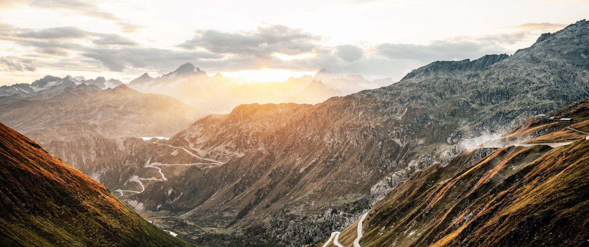
The Rhone Route – from glaciers to Lake Geneva

Trans Swiss Trail – Hiking across Switzerland

Via Gottardo – Following historic trails

The Rhine Cycle Path — From the source to the North Sea
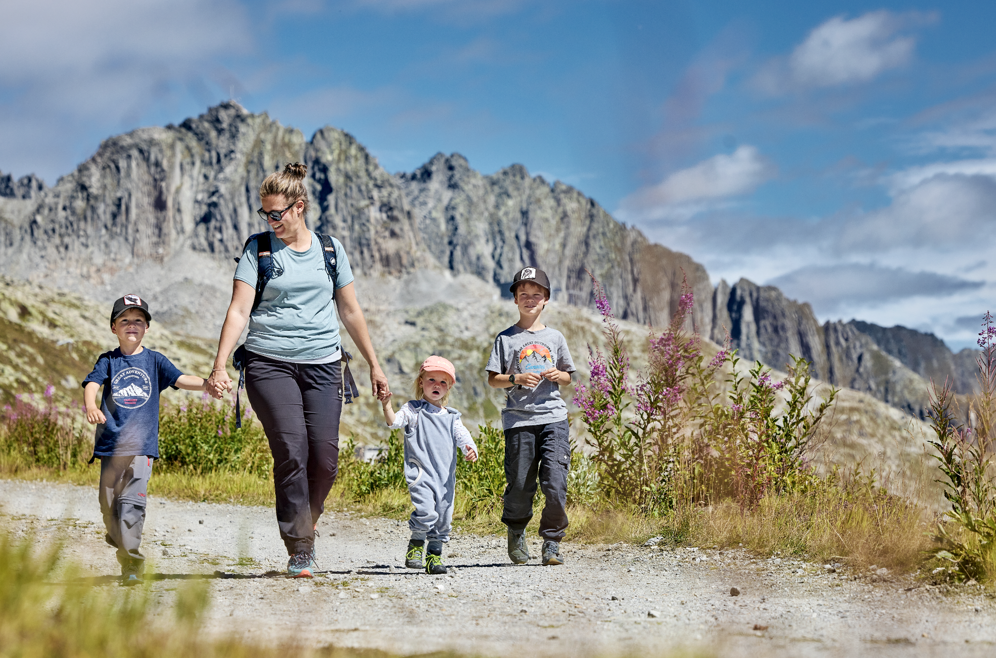
Mountain Playground – family adventures in Andermatt-Sedrun-Disentis
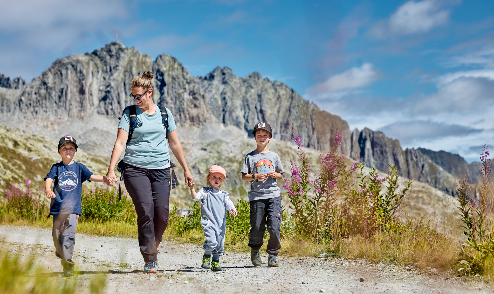
Mountain Playground – family adventures in Andermatt-Sedrun-Disentis
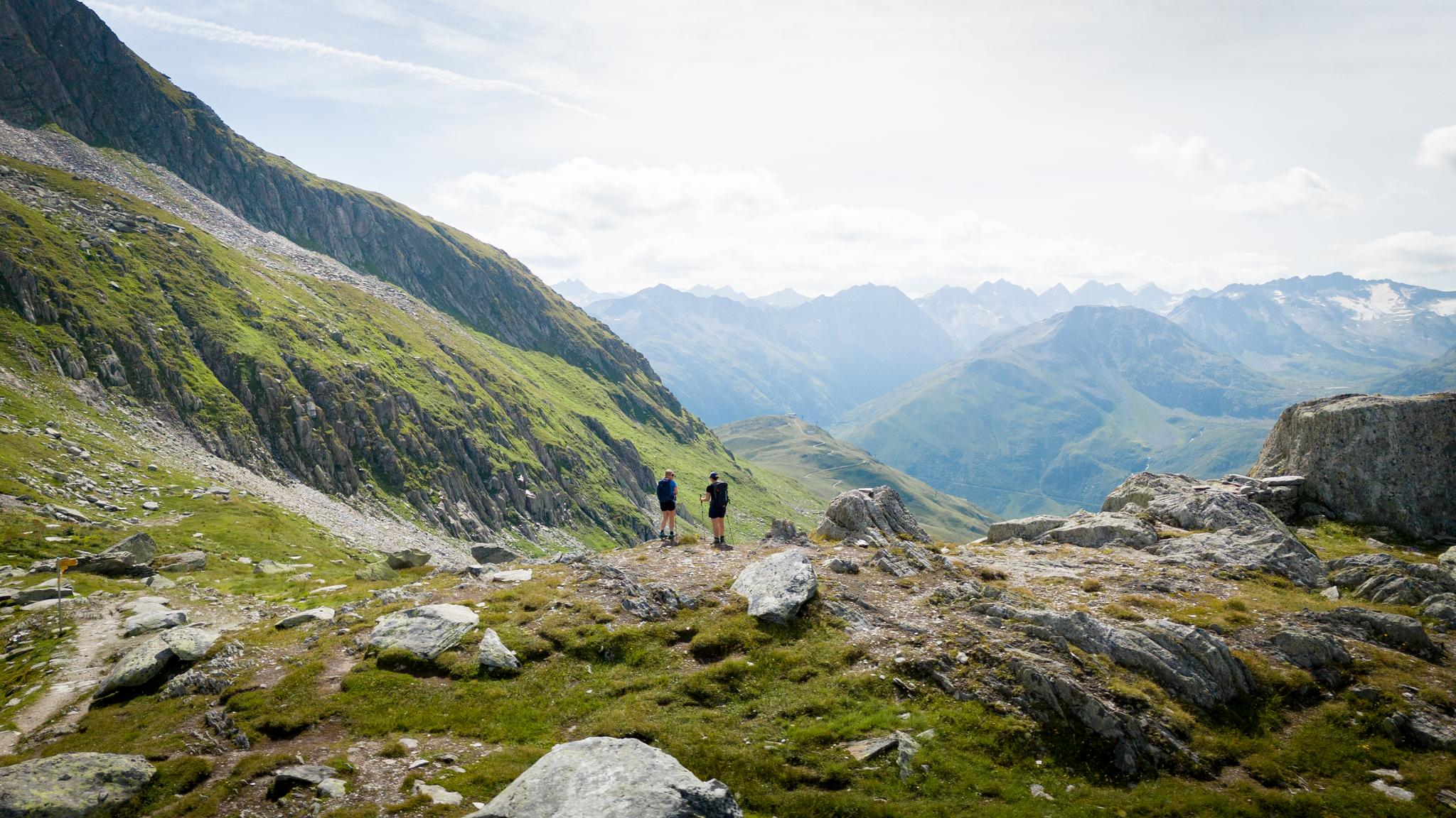
On the hunt for crystals and alpine lake magic – Gotthard Crystal Trek
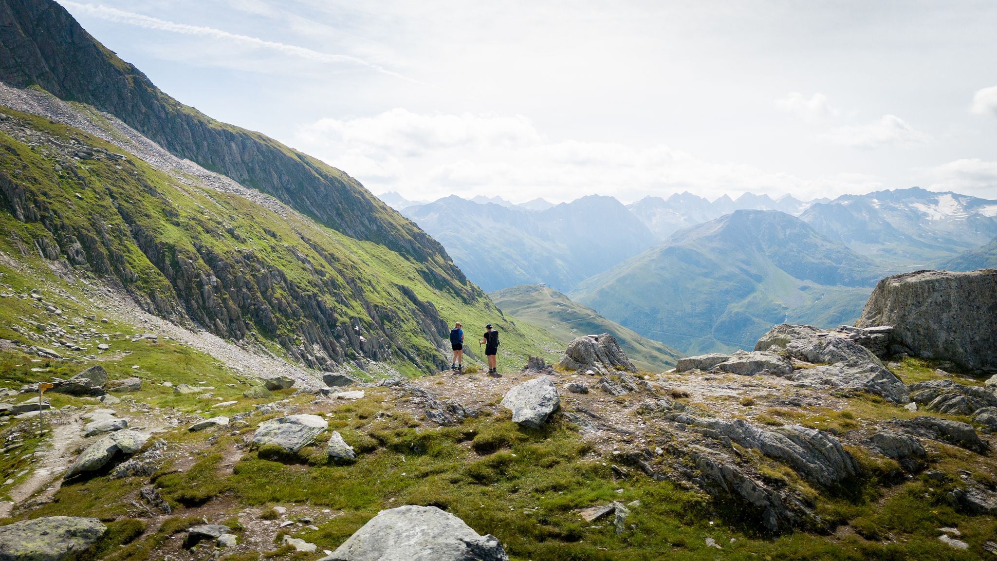
On the hunt for crystals and alpine lake magic – Gotthard Crystal Trek
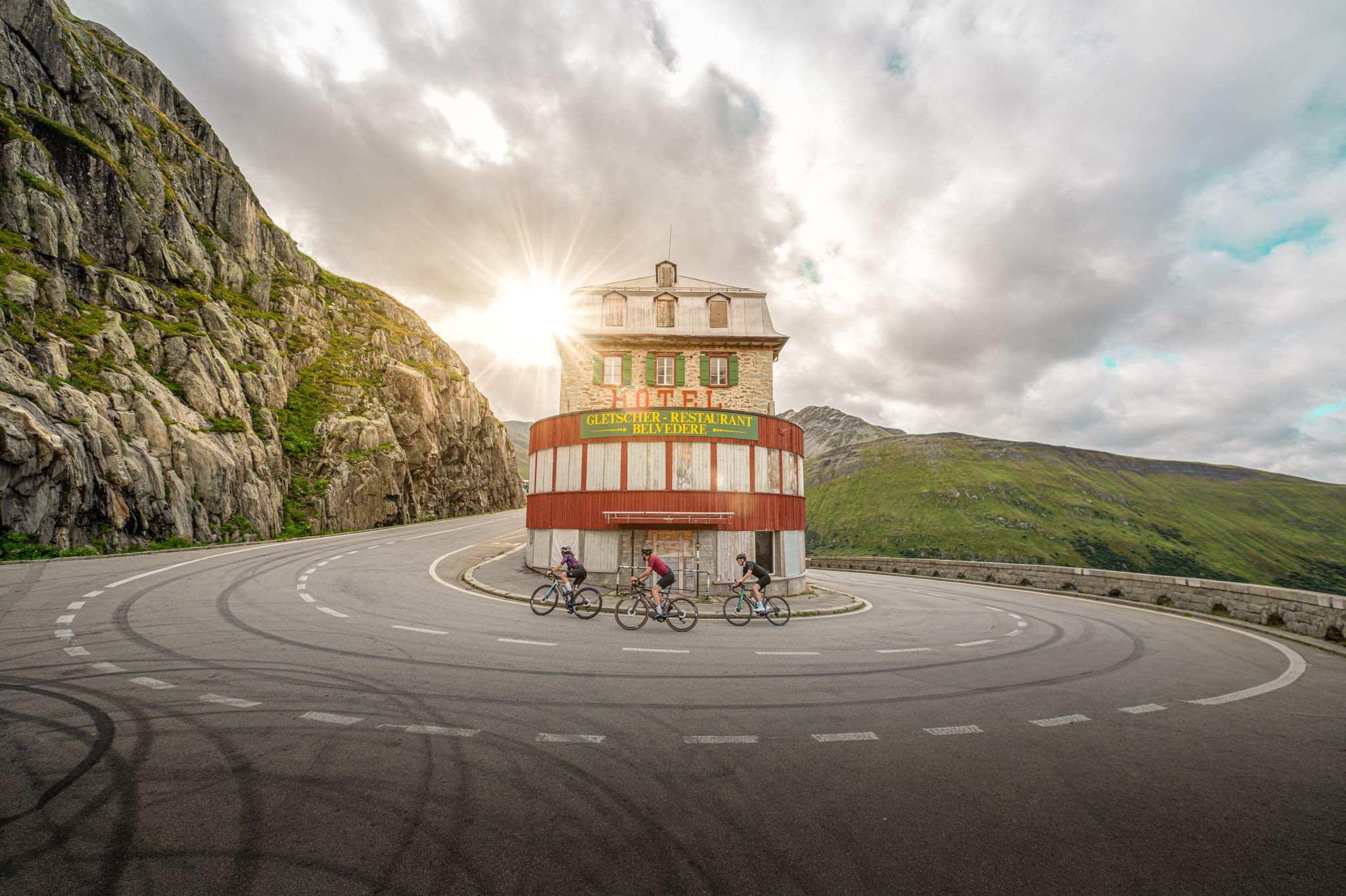
Road cycling to the alpine passes – routes around Andermatt
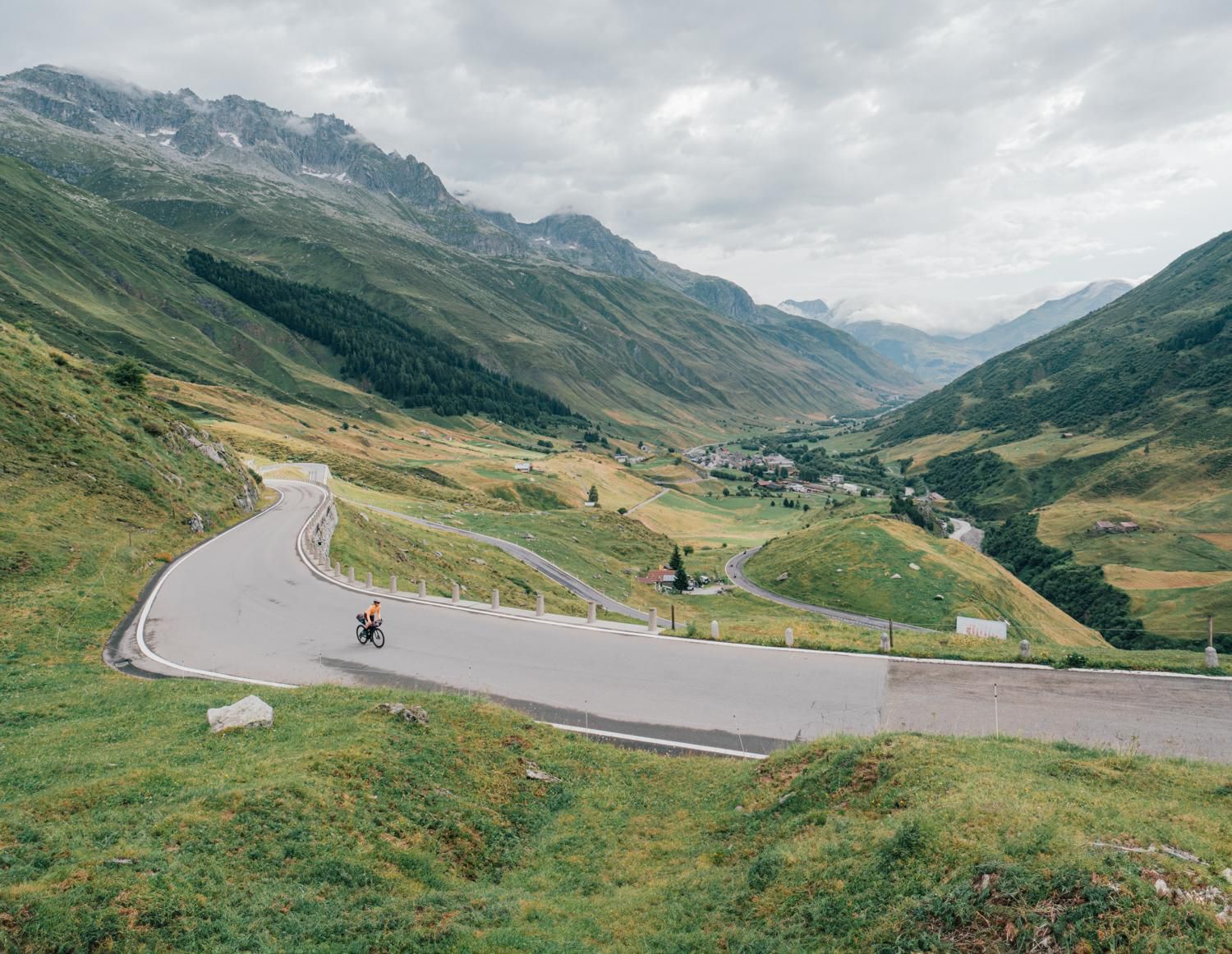
Discover Central Switzerland – ride Route 1291
Other adventures around Andermatt


Tips from the Community

Engraved or rather carved into the rock, it is literally monumental.
3
0
The bubbling of the water almost covers the noise of the traffic.
5
0
The gurgling of the water adds a sense of grandeur to this beautiful place
5
0
A very pleasant shady place to ride
5
0

very pretty here, very pretty
0
1
very pretty here, very pretty
0
1
Frequently Asked Questions
What is the general difficulty of mountaineering routes around Andermatt?
Mountaineering in Andermatt is primarily challenging, with 20 out of 25 routes rated as difficult. There are also 5 moderate routes available for those seeking less strenuous options. The region is known for its high alpine terrain, significant elevation gains, and varied landscapes.
Are there any easier mountaineering routes for beginners in Andermatt?
While many routes are difficult, there are a few moderate options suitable for those with some experience or looking for a less strenuous day. One such route is the Salbithütte SAC (2110 m) loop from P1 Torbrücke, which offers a rewarding experience without the extreme demands of the most challenging trails.
What kind of distances and elevation gains can I expect on mountaineering routes in Andermatt?
Mountaineering routes in Andermatt typically involve significant distances and elevation gains. For example, the Alpine Moorland in Uri – Bergsee Hut loop from Göscheneralpsee covers 8.4 miles (13.5 km) with over 1100 meters of ascent. Even shorter routes like the Devil's Bridge (Teufelsbrücke) loop from Andermatt still feature nearly 500 meters of elevation gain over 4.1 miles (6.7 km).
When is the best time of year for mountaineering in Andermatt?
The prime season for mountaineering in Andermatt is generally from late June to early October. During these months, the snow has largely melted from higher elevations, and the weather is typically more stable, offering the best conditions for traversing alpine passes and exposed ridges. Always check local weather and trail conditions before heading out.
What essential gear should I bring for summer mountaineering in Andermatt?
For summer mountaineering in Andermatt, essential gear includes sturdy hiking boots, layered clothing suitable for varying alpine conditions (including waterproofs), a backpack with sufficient water and snacks, a map and compass or GPS device, sun protection (hat, sunglasses, sunscreen), and a first-aid kit. Depending on the specific route, trekking poles can also be very helpful.
Are there many circular mountaineering routes around Andermatt?
Yes, many of the mountaineering routes around Andermatt are designed as loops, allowing you to start and finish at the same point. An example is the Lake Göscheneralp – Alpine Moorland in Uri loop from Göscheneralpsee, which offers a comprehensive experience of the alpine landscape.
What interesting natural landmarks can I see along mountaineering routes in Andermatt?
The region is rich in natural landmarks. You can visit the Source of the Rhine – Lai da Tuma on the Lake Toma (Lai da Tuma) – Tomasee (Source of the Rhine) loop from Oberalppass. The dramatic Schöllenen Gorge and the historic Devil's Bridge (Teufelsbrücke) are prominent features on routes starting from Andermatt.
What do other mountaineers enjoy the most about mountaineering in Andermatt?
The area is highly rated by the komoot community, with an average score of 5.0 stars from around 50 reviews. Reviewers often praise the stunning high alpine scenery, the challenging nature of the routes, and the sense of accomplishment gained from traversing the rugged peaks and deep valleys of the Swiss Alps.
Can I reach mountaineering trailheads in Andermatt using public transport?
Andermatt is well-connected by public transport. You can reach the village by train, and from there, local buses often serve various starting points for mountaineering routes, including Oberalppass and Göscheneralpsee. It's advisable to check the current timetables for specific routes.
Are there any hidden gem mountaineering routes in Andermatt?
While many routes are popular, the vastness of the region means there are always less-traveled paths. Exploring routes that lead to remote huts, such as the Bergsee Hut, can offer a more secluded experience away from the main trails. These often require good navigation skills and preparation.
Are there any opportunities for wildlife spotting while mountaineering in Andermatt?
The alpine environment around Andermatt is home to diverse wildlife. Keep an eye out for chamois and ibex on rocky slopes, marmots in alpine meadows, and various bird species, including eagles and bearded vultures, soaring overhead. Early mornings and late afternoons are often the best times for sightings.
Where can I find parking for mountaineering near Andermatt?
Parking is generally available at common starting points for mountaineering routes. In Andermatt village, there are public parking facilities. For routes starting from locations like Göscheneralpsee or Oberalppass, designated parking areas are usually provided, though some may require a fee. Always check signage for parking regulations.
Most popular routes around Andermatt
Most popular attractions around Andermatt

Get inspired with the komoot mobile app


Explore more
Browse the best Mountain Hikes & Routes in other regions.
