The best traffic-free bike rides around Horb am Neckar
4.6
(69)
382
riders
102
rides
Gravel biking around Horb am Neckar offers diverse terrain within Baden-Württemberg, Germany, characterized by the Neckar River Valley and the rolling hills of the Black Forest foothills. The region features wooded hills and valleys, providing a varied backdrop for no traffic gravel bike trails. These routes often follow well-maintained cycle paths along the Neckar River and venture into unpaved segments through the surrounding natural landscapes.
Best no traffic gravel bike trails around Horb am Neckar
- The most popular no traffic…
Last updated: May 14, 2026
4.6
(12)
21
riders
44.4km
02:36
540m
540m
Hard gravel ride. Very good fitness required. Mostly paved surfaces. Suitable for all skill levels.
5.0
(1)
5
riders
25.1km
01:28
350m
350m
Moderate gravel ride. Good fitness required. Mostly paved surfaces. Suitable for all skill levels.

Sign up for free
5
riders
47.0km
02:56
620m
620m
Hard gravel ride. Very good fitness required. Mostly paved surfaces. Suitable for all skill levels.
5.0
(1)
2
riders
19.2km
01:14
260m
250m
Moderate gravel ride. Good fitness required. Mostly paved surfaces. Suitable for all skill levels.
2
riders
30.7km
01:56
470m
470m
Hard gravel ride. Very good fitness required. Mostly paved surfaces. Suitable for all skill levels.
Get access to more routes and recommendations from other explorers.
Sign up for free
Already have an account?
Our route recommendations are based on thousands of hikes, rides, and runs completed by other people on komoot.
Start today with a free account
Your next adventure awaits.
Login or Signup
Popular around Horb am Neckar
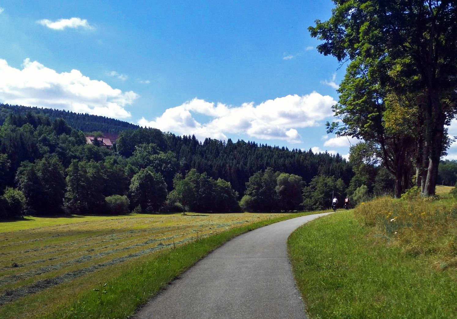
The Heidelberg-Schwarzwald-Bodensee-Radweg
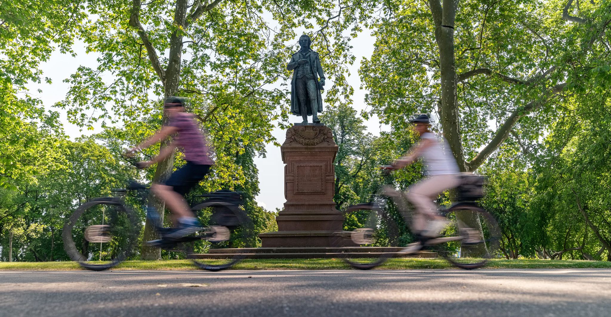
Culture over mileage – cultural Highlights on the Neckar Valley Cycle Path
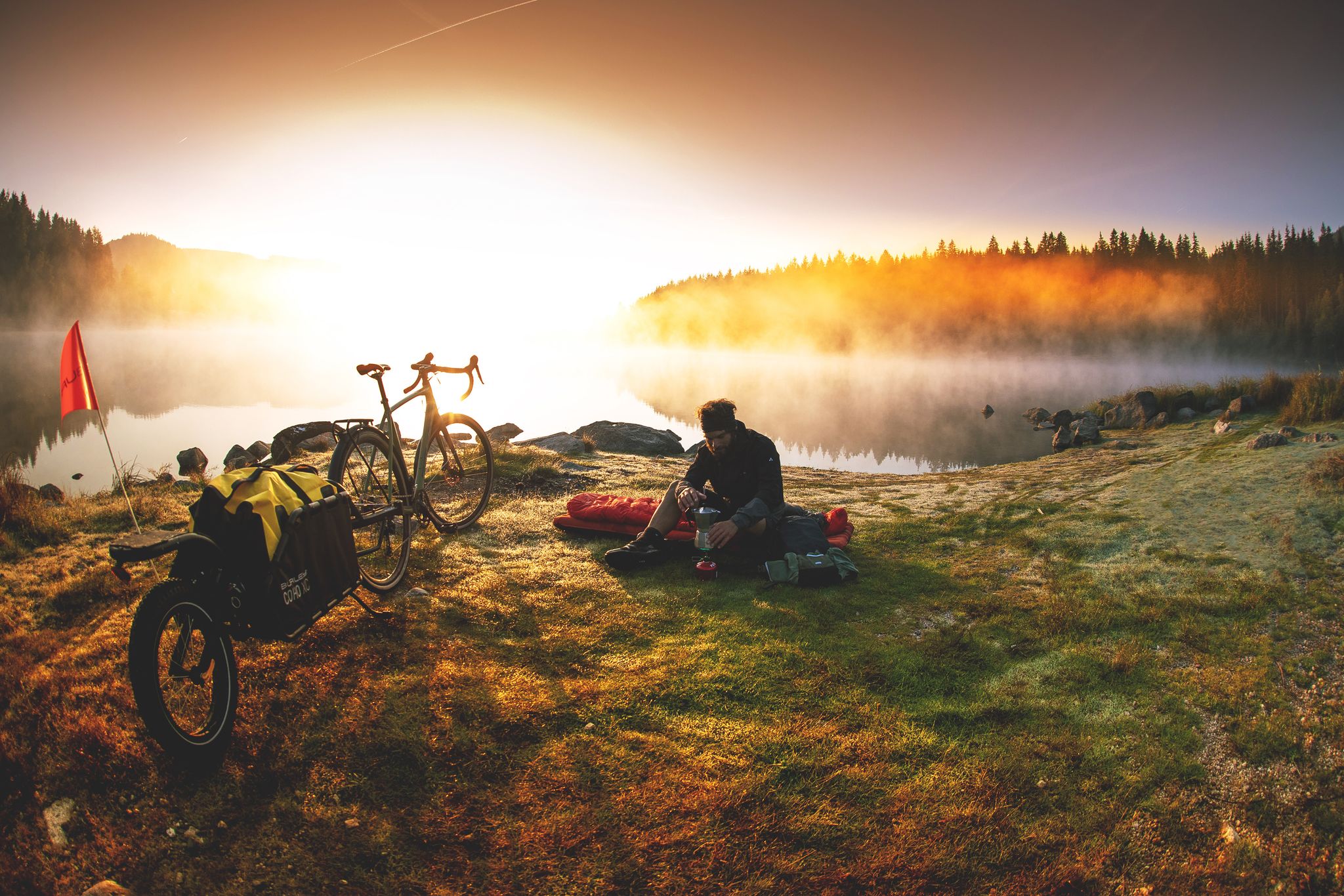
Unforgettable gravel overnighters in the Black Forest
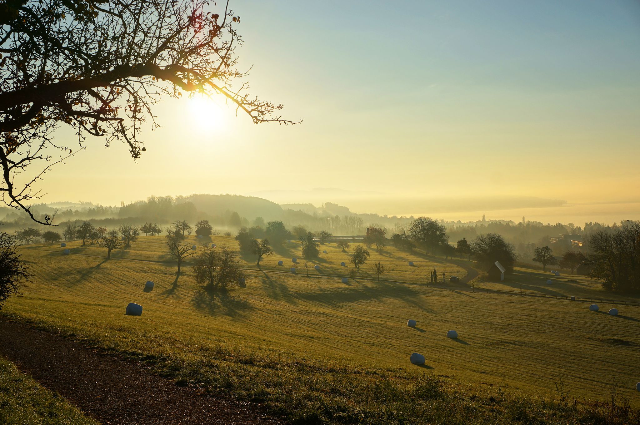
The Heidelberg-Schwarzwald-Bodensee-Radweg
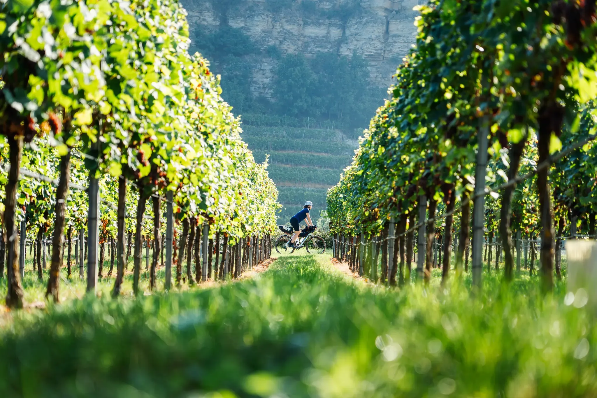
Fachwerkperlen & Weinterrassen – Saddle Stories auf dem Neckartal-Radweg

Traffic-free bike rides around Horb am Neckar

Traffic-free bike rides around Horb am Neckar
Other adventures around Horb am Neckar


Tips from the Community

Neu-Nuifra The district of Neu-Nuifra The village has a difficult name: both the "u" and the "i" are pronounced. With about 100 inhabitants, Neu-Nuifra is the smallest village in the municipality of Pfalzgrafenweiler, but many consider it the most relaxing too. Because here visitors find three decisive factors for their relaxation: peace, peace, and peace. Away from the noise of traffic, city dwellers in particular feel at home here. One enjoys the pleasures of country life and the magnificent view into the Waldachtal and towards Pfalzgrafenweiler. The population of Neu-Nuifra is 108 inhabitants (as of 31.12.2025). Neu-Nuifra is located at an altitude of 620 m. Neu-Nuifra The district of Neu-Nuifra The village has a difficult name: both the "u" and the "i" are pronounced. With about 100 inhabitants, Neu-Nuifra is the smallest village in the municipality of Pfalzgrafenweiler, but many consider it the most relaxing too. Because here visitors find three decisive factors for their relaxation: peace, peace, and peace. Away from the noise of traffic, city dwellers in particular feel at home here. One enjoys the pleasures of country life and the magnificent view into the Waldachtal and towards Pfalzgrafenweiler. The population of Neu-Nuifra is 108 inhabitants (as of 31.12.2025). Neu-Nuifra is located at an altitude of 620 m. Chronicle of Neu-Nuifra Neu-Nuifra owes its founding to the ducal decree of July 20, 1723. It permits 8 families to settle as woodcutters, potash boilers, and lampblack burners. Each family receives 20 Morgen of land for cultivation, as well as the necessary building timber free of charge. The settlers come from Pfalzgrafenweiler, Grömbach, Baisingen, Dobel Garrweiler, and Spielberg. In 1724, Neu-Nufra becomes a part of the municipality of Herzogsweiler. The name "Äschenteich" (Ash pond) is a reminder of the first settlers. In 1858, Neu-Nuifra has 137 inhabitants who earn their living in the forest and in agriculture. On the right side of the Waldachtal, between Mandelburg and Altnuifra, there was in ancient times another settlement called "Uttenweiler" with its own church, which is said to have disappeared even before the Thirty Years' War. Since 1951, Neu-Nuifra has belonged to the municipality of Pfalzgrafenweiler. Source: https://www.pfalzgrafenweiler.de/die-gemeinde/teilorte/neu-nuifra
0
0
The Bösinger Wasserhäusle was a pumping station and was used to transport fresh spring water from a source in the Waldach valley via cast iron pipes to the village of Bösingen (a district of the municipality of Pfalzgrafenweiler), located 1.4 km away and 140 meters higher up. The pumps were driven by the water power of the Waldach. A water wheel with a diameter of six meters was used. The facility went into operation in 1894. In 1911, it was supplemented by an 8 hp gasoline engine, which could now also drive the pumps during low water levels in the Waldach. In 1948, it was connected to the power grid via a transformer station, after which a newly installed electric motor could serve as a backup drive. The Bösingen's own water supply was taken out of service in 1991 due to drinking water contamination. The entire facility, including the weir, the power channel, and the pumping station, has been protected as a cultural-historical monument since 2000. The pumping station can be visited all day on the Day of the Open Monument. Source: https://de.wikipedia.org/wiki/B%C3%B6singer_Wasserh%C3%A4usle
0
0
The Bösinger Wasserhäusle was a pumping station and served to transport fresh spring water from a source in the Waldach valley via cast iron pipes to the village of Bösingen (part of the municipality of Pfalzgrafenweiler), 1.4 km away and 140 meters higher. The pumps were driven by the water power of the Waldach. A water wheel with a diameter of six meters was used. The facility went into operation in 1894. In 1911, it was supplemented by an 8 hp gasoline engine, which could now also drive the pumps during low water levels in the Waldach. In 1948, it was connected to the power grid via a transformer station, from which time a newly installed electric motor could serve as a backup drive. The Bösingen's own water supply was taken out of operation in 1991 due to drinking water contamination. The entire facility with its weir, power channel, and pumping station has been protected as a cultural-historical monument since 2000. The pumping station can be visited all day on the Day of the Open Monument. Source: https://de.wikipedia.org/wiki/B%C3%B6singer_Wasserh%C3%A4usle
0
0

The charcoal pile is reminiscent of the past.
0
0
Weir on the Waldach, 300-meter-long drive channel, iron, backward-acting water wheel with spur gear transmission, 6 meters in diameter (originally lined with wooden paddles), 3 meters of head in the drive channel, pump output: 3-5 HP depending on water inflow from the drive channel, double-acting plunger pump from Maschinenfabrik Esslingen from the year 1893 with a high-performance suction and delivery pump and pressure vessel. In 1991, the plant was shut down as a private water supply due to contaminated spring water. Depending on the water level of the Waldach, the pumping station managed to pump 160,000 liters of fresh spring water directly into the houses and into the water reservoir in Bösingen, 2.3 km away and 140 meters higher, in 8 to 14 hours. The spring yields 1-2 liters per second depending on the season.
0
0
Weir on the Waldach, 300-meter-long tailrace canal, iron overshot water wheel with spur gear transmission, 6 meters in diameter (originally with wooden paddles), 3-meter head, pump capacity: 3-5 HP depending on water inflow from the tailrace canal, double-acting plunger pump from Maschinenfabrik Esslingen from 1893 with a powerful suction and delivery pump and pressure vessel. In 1991, the plant was shut down due to contaminated spring water as a private water supply. The pump managed to pump 160,000 liters of fresh spring water directly into the houses and into the water reservoir in Bösingen, 2.3 km away and 140 meters higher, in 8 to 14 hours, depending on the water level of the Waldach. The spring yields 1-2 liters per second depending on the season.
0
0

Horb Old Town silhouette, always worth seeing.
4
0

Currently young kids! Super cute!
0
0
Frequently Asked Questions
How many no-traffic gravel bike trails are available around Horb am Neckar?
There are over 100 dedicated no-traffic gravel bike trails around Horb am Neckar. These routes vary in length and difficulty, offering diverse experiences from gentle river paths to challenging climbs in the Black Forest foothills.
What kind of terrain can I expect on no-traffic gravel bike trails in Horb am Neckar?
The terrain around Horb am Neckar is quite varied. You'll find well-maintained cycle paths along the Neckar River, winding through green meadows. As you venture towards the Black Forest foothills, routes include unpaved segments, wooded hills, and valleys. Some sections may require good fitness, with occasional steep climbs or more rugged paths.
Are there any easy or beginner-friendly no-traffic gravel routes?
Yes, while many routes are rated moderate to difficult, the region offers paths suitable for beginners. The idyllic Neckar river provides well-maintained cycle paths with gentle climbs and relaxed sections, perfect for those new to gravel biking or looking for a less strenuous ride. For example, the Seelenbaumlerweiher – Alpaca Pasture loop from Bildechingen is a moderate option that offers a taste of the local scenery.
What are some scenic viewpoints or natural features I can discover on these trails?
The region is rich in natural beauty and viewpoints. You can enjoy panoramic views from the Dürrenmettstetten Observation Tower, or explore the pristine natural beauty of the Naturschutzgebiet Kugler Hang. The Wolfsschlucht (Wolf Gorge) offers a dramatic landscape with imposing rocks. Many routes also provide breathtaking views of the Black Forest's gentle hills and the charming old town of Horb am Neckar.
Are there any historical landmarks or attractions along the no-traffic gravel routes?
Absolutely. Horb am Neckar itself boasts a charming old town visible from various viewpoints. As you cycle, you'll encounter numerous historic castles and palaces scattered along the routes, adding a cultural dimension to your ride. The Ottilienkapelle and Schütteturm are also notable points of interest within the landscape.
What is the best time of year for gravel biking around Horb am Neckar?
Spring, summer, and early autumn are generally the best seasons for gravel biking in Horb am Neckar. During these months, the weather is typically pleasant, and the natural landscapes are at their most vibrant. While some routes might be accessible in winter, conditions can be challenging due to snow or ice, especially in higher elevations or unpaved sections.
Are there any circular no-traffic gravel routes available?
Yes, many of the gravel bike trails around Horb am Neckar are designed as circular routes, allowing you to start and end at the same point. An example is the challenging Neckar River Trail – Neckar Valley Near Mühlen loop from Industriegebiet Heiligenfeld, which offers a comprehensive tour of the area's diverse landscapes.
Can I find routes that are suitable for families with children?
For families, the flatter, well-maintained sections along the Neckar River are ideal. These paths offer a relaxed cycling experience away from traffic, suitable for various skill levels. Always check the route's difficulty and elevation profile on komoot to ensure it matches your family's capabilities.
What do other gravel bikers say about the trails in Horb am Neckar?
The komoot community highly rates the gravel biking experience in Horb am Neckar, with an average score of 4.6 stars. Reviewers often praise the region's diverse terrain, the beautiful natural scenery, and the quiet, traffic-free nature of the trails, making it a true paradise for cycling enthusiasts.
Are there any longer, more challenging no-traffic gravel routes for experienced riders?
Experienced riders seeking a challenge will find plenty of options. Routes like the View of the Swabian Jura – Priorberg Chapel loop from Mühlen, with its significant elevation gain, offer demanding climbs and extensive distances through varied terrain, including the rolling hills of the Black Forest foothills.
Where can I find places to rest or get refreshments along the trails?
While specific cafes or pubs directly on every trail segment are not guaranteed, the towns and villages along the Neckar River and within the region, such as Horb am Neckar itself, offer various options for refreshments and meals. Some routes may also pass by huts or cabins, like the Lauterbad Mountain Hut, which can provide a welcome break.
Most popular routes around Horb am Neckar
Most popular attractions around Horb am Neckar

Get inspired with the komoot mobile app


Explore more
Browse the best Gravel rides in other regions.
