The best cycling routes around Horb am Neckar
4.6
(903)
4,672
riders
206
rides
Touring cycling around Horb am Neckar is characterized by its location in the northern Black Forest foothills, offering a mix of river valleys and rolling hills. The Neckar River flows through the region, providing relatively flat paths alongside its banks. Surrounding areas feature forested sections and agricultural landscapes, with elevations generally remaining below 200 meters, classifying them as hills. This blend of terrain provides diverse options for touring cyclists.
Best touring cycling routes around Horb am Neckar
- The most popular touring cycling route is Neckar Bridge in Bieringen – Neckartal Cycle Path loop from Mühringen, a 21.0 miles (33.8 km) trail that takes 2 hours 5 minutes to complete. This route follows the Neckartal Cycle Path, offering riverside views.
- Another top favourite among local touring cyclists is Trees by the Path – Market Fountain, Sulz am Neckar loop from Glatt, a moderate 24.2 miles (39.0 km) path. This route leads through varied scenery, including tree-lined sections and the town of Sulz am Neckar.
- Local touring cyclists also love the Waldach Cycle Path – Bösingen Water House loop from Bittelbronn, a 28.0 miles (45.1 km) trail leading through the Waldach valley, often completed in about 3 hours 0 minutes.
- Touring cycling around Horb am Neckar is defined by the Neckar river valley, forested hills, and open agricultural land. The network offers options for easy, moderate, and difficult ability levels.
- The routes in Horb am Neckar are highly rated by the komoot community with an average score of 4.6 stars from over 900 reviews. More than 5000 touring cyclists have used komoot to explore Horb am Neckar's varied terrain.
Last updated: October 8, 2026
4.7
(261)
1,265
riders
39.8km
02:28
400m
400m
Moderate bike ride. Good fitness required. Mostly paved surfaces. Suitable for all skill levels.
4.6
(83)
291
riders
45.4km
03:01
530m
530m
Hard bike ride. Very good fitness required. Mostly paved surfaces. Suitable for all skill levels.

4.4
(31)
184
riders
16.3km
01:05
220m
220m
Moderate bike ride. Good fitness required. Mostly paved surfaces. Suitable for all skill levels.
4.4
(38)
231
riders
16.2km
00:57
90m
90m
Easy bike ride. Great for any fitness level. Mostly paved surfaces. Suitable for all skill levels.
4.7
(20)
110
riders
Moderate bike ride. Good fitness required. Mostly paved surfaces. Suitable for all skill levels.
Get access to more routes and recommendations from other explorers.
Already have an account?
Our route recommendations are based on thousands of hikes, rides, and runs completed by other people on komoot.
Start today with a free account
Your next adventure awaits.
Popular around Horb am Neckar
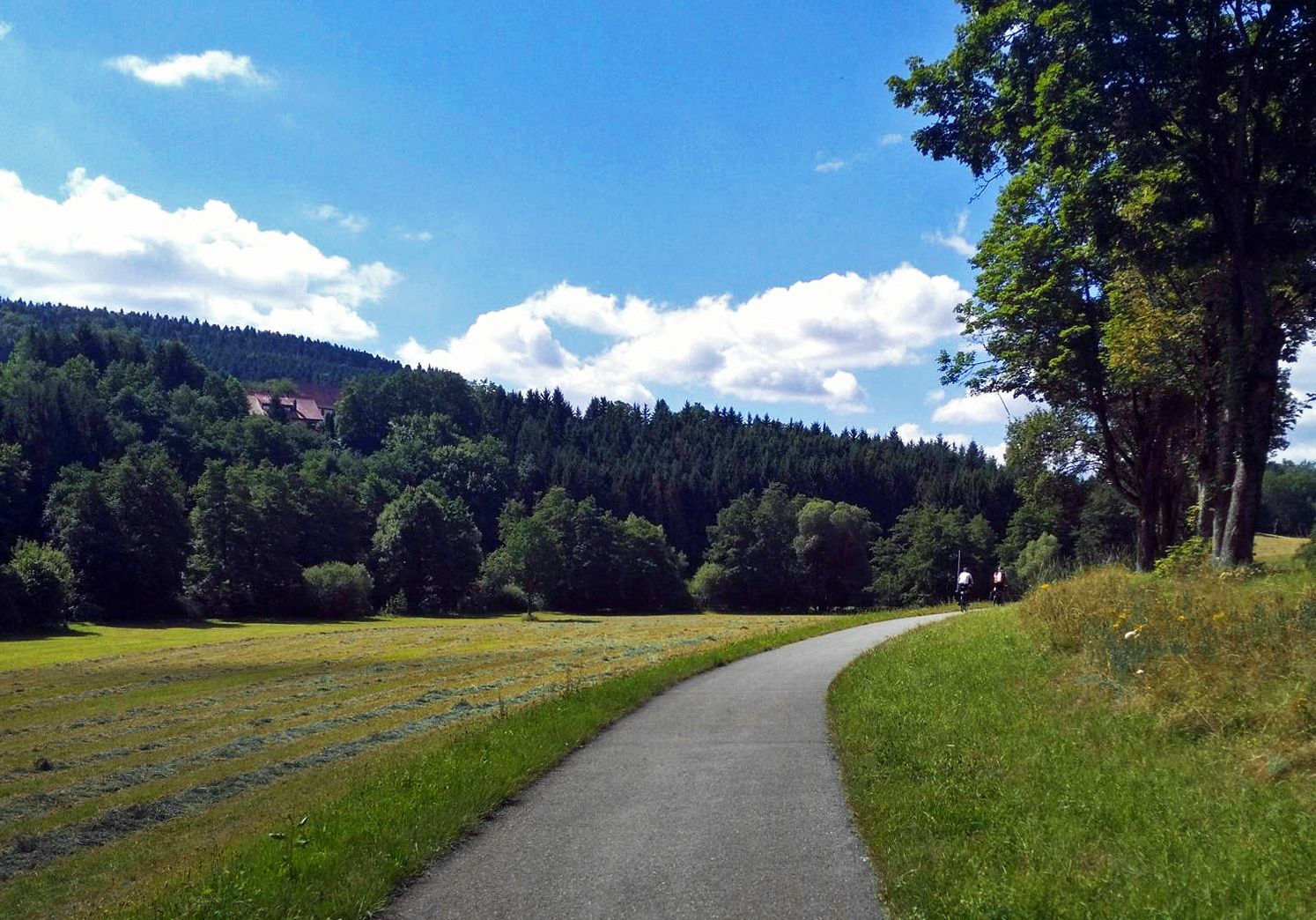
The Heidelberg-Schwarzwald-Bodensee-Radweg
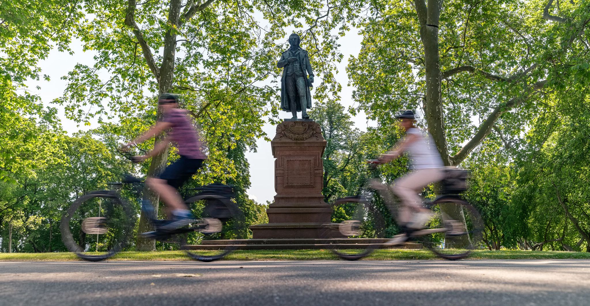
Culture over mileage – cultural Highlights on the Neckar Valley Cycle Path
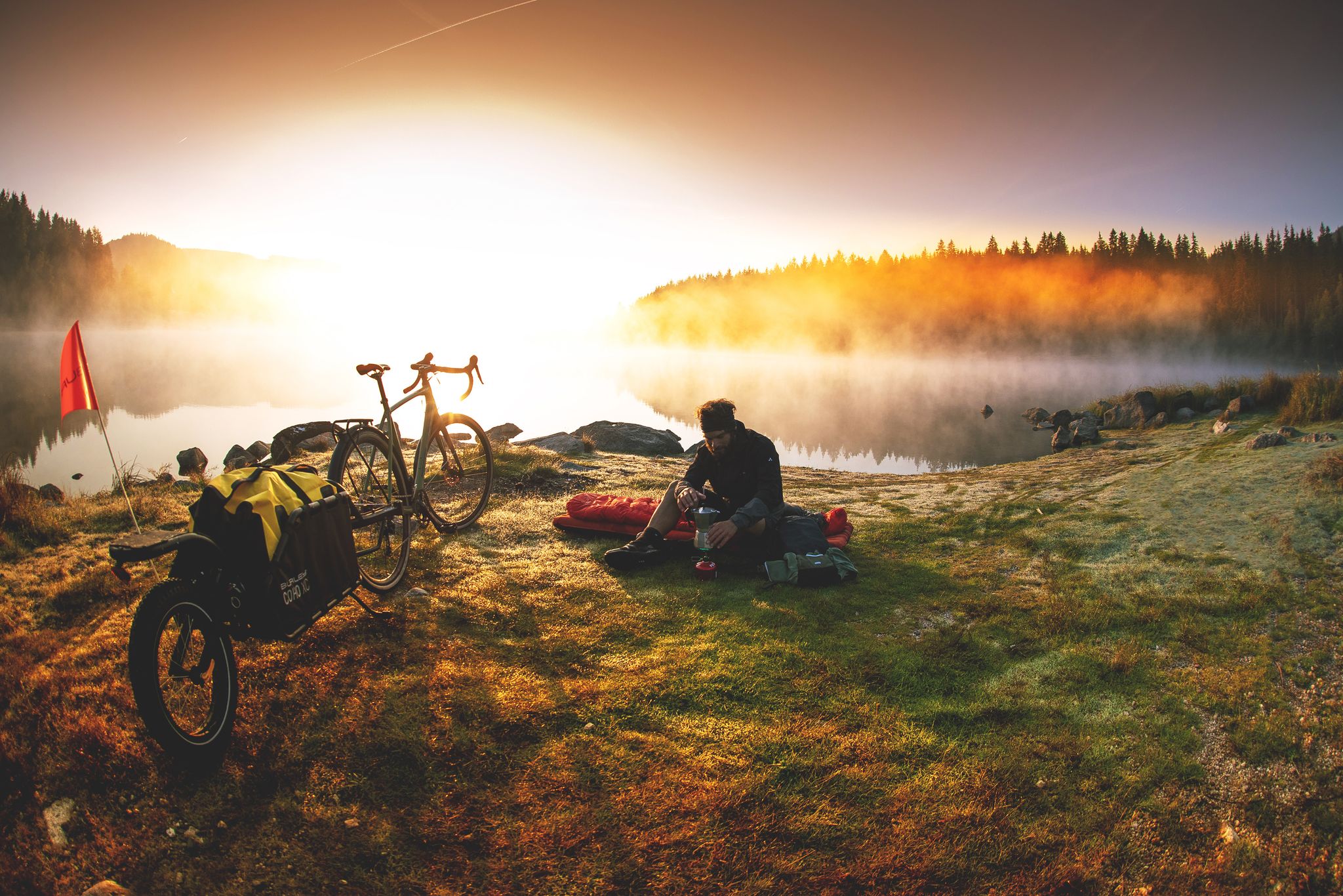
Unforgettable gravel overnighters in the Black Forest
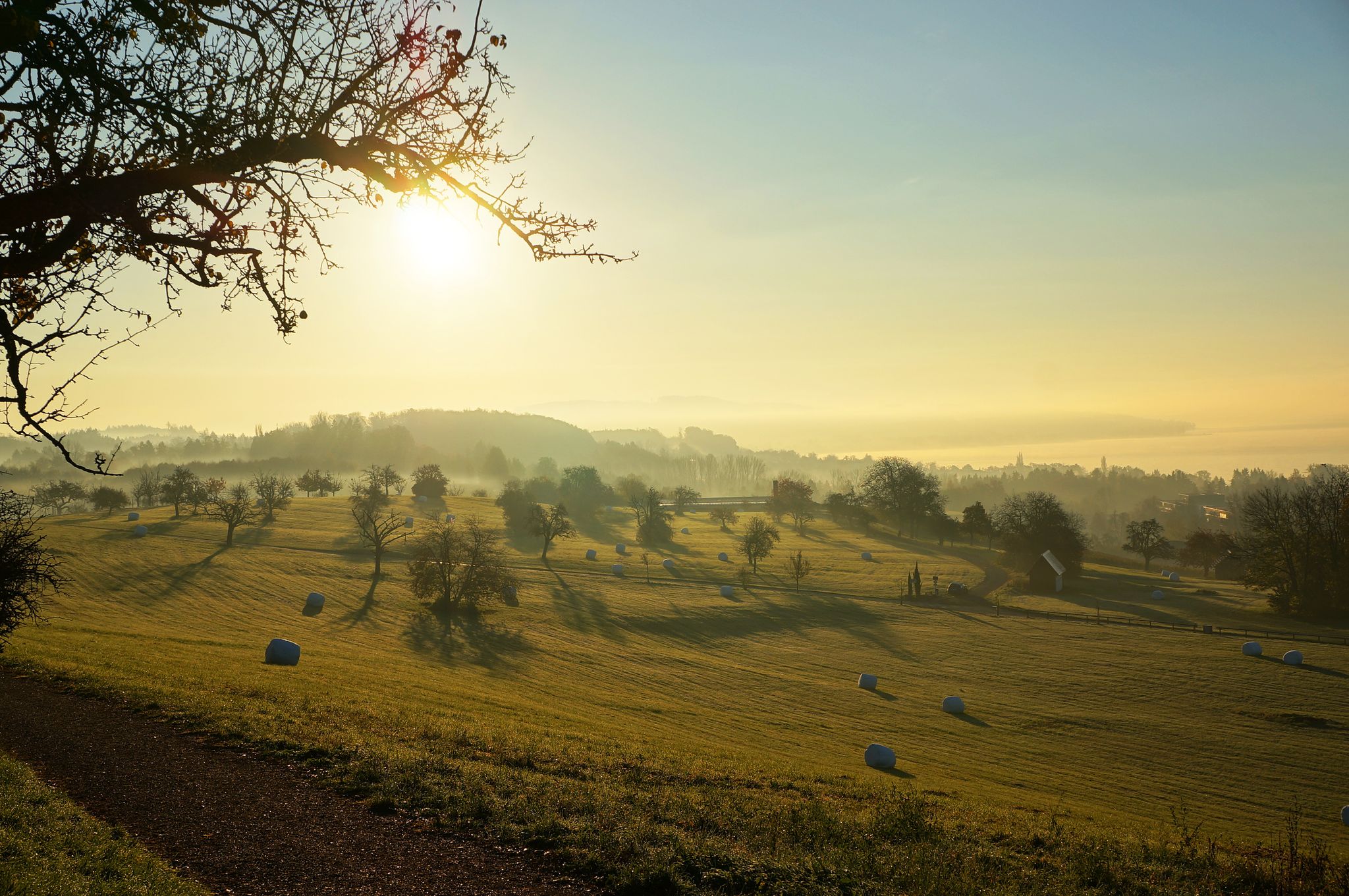
The Heidelberg-Schwarzwald-Bodensee-Radweg
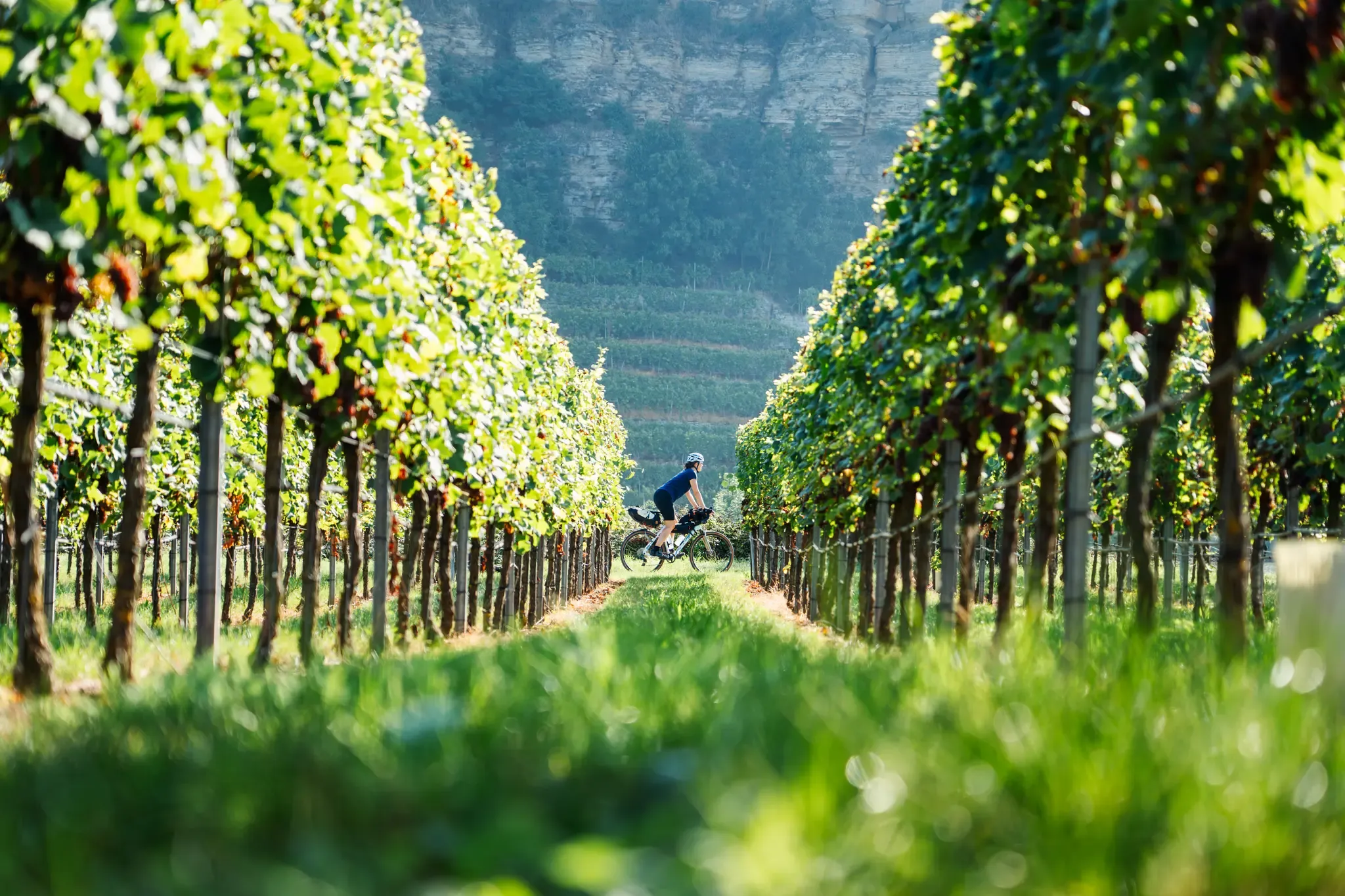
Fachwerkperlen & Weinterrassen – Saddle Stories auf dem Neckartal-Radweg
Hiking around Horb am Neckar
Road Cycling Routes around Horb am Neckar
MTB Trails around Horb am Neckar
Running Trails around Horb am Neckar

Gravel biking around Horb am Neckar
Other adventures around Horb am Neckar


Tips from the Community


The railway / pedestrian tunnel: In the Eutingen valley runs the historic railway infrastructure of the Nagoldbahn or the Gäubahn. On the local Historical Nature Trail, a small pedestrian and cycle tunnel leads safely under the tracks.
1
0
The Chapel of St. Ulrich in Neckarhausen (a district of Horb am Neckar) is a striking landmark of the place and is dedicated to St. Ulrich of Augsburg. The current chapel was built in 1889 and celebrated its 125th anniversary in 2014. It was built as a successor to an older St. Ulrich chapel. The original St. Ulrich chapel stood in a different location in the village. In the 18th century, it was moved to the cemetery and later demolished as part of a cemetery expansion. The current chapel replaced this predecessor.
5
0

The Bösinger Wasserhäusle was a pumping station and was used to transport fresh spring water from a source in the Waldach valley via cast iron pipes to the village of Bösingen (a district of the municipality of Pfalzgrafenweiler), located 1.4 km away and 140 meters higher up. The pumps were driven by the water power of the Waldach. A water wheel with a diameter of six meters was used. The facility went into operation in 1894. In 1911, it was supplemented by an 8 hp gasoline engine, which could now also drive the pumps during low water levels in the Waldach. In 1948, it was connected to the power grid via a transformer station, after which a newly installed electric motor could serve as a backup drive. The Bösingen's own water supply was taken out of service in 1991 due to drinking water contamination. The entire facility, including the weir, the power channel, and the pumping station, has been protected as a cultural-historical monument since 2000. The pumping station can be visited all day on the Day of the Open Monument. Source: https://de.wikipedia.org/wiki/B%C3%B6singer_Wasserh%C3%A4usle
0
0

Weir on the Waldach, 300-meter-long drive channel, iron, backward-acting water wheel with spur gear transmission, 6 meters in diameter (originally lined with wooden paddles), 3 meters of head in the drive channel, pump output: 3-5 HP depending on water inflow from the drive channel, double-acting plunger pump from Maschinenfabrik Esslingen from the year 1893 with a high-performance suction and delivery pump and pressure vessel. In 1991, the plant was shut down as a private water supply due to contaminated spring water. Depending on the water level of the Waldach, the pumping station managed to pump 160,000 liters of fresh spring water directly into the houses and into the water reservoir in Bösingen, 2.3 km away and 140 meters higher, in 8 to 14 hours. The spring yields 1-2 liters per second depending on the season.
0
0
The bridge connects the Neckartal Cycle Path
3
0
Here, the Neckartalradweg runs above the Neckar and mills.
7
0
Here the Neckar divides, into the inflow to the mill race. When there is a lot of water, the Neckar rushes over the weir, like a waterfall.
5
0
Frequently Asked Questions
How many touring cycling routes are available around Horb am Neckar?
There are over 200 touring cycling routes available around Horb am Neckar, offering a wide variety of options for different skill levels and preferences.
What is the overall difficulty level of touring cycling routes in Horb am Neckar?
The routes around Horb am Neckar cater to all abilities. You'll find 38 easy routes, 123 moderate routes, and 56 more difficult options, ensuring there's something for every touring cyclist.
What do other touring cyclists say about the routes in Horb am Neckar?
The komoot community highly rates the touring cycling routes in Horb am Neckar, with an average score of 4.6 stars from over 700 reviews. Many touring cyclists praise the varied terrain, from riverside paths to forested hills.
Are there easy touring cycling routes suitable for beginners in Horb am Neckar?
Yes, there are several easy routes perfect for beginners. For example, the Horb on the Neckar – Neckarwiesen Cycle Path loop from Horb is an easy 10-mile (16 km) trail that follows the Neckar river, offering gentle terrain and scenic views.
Can I find circular touring cycling routes around Horb am Neckar?
Many touring cycling routes in the region are circular. A popular option is the Neckar Bridge in Bieringen – Neckartal Cycle Path loop from Mühringen, which is a 21.0-mile (33.8 km) moderate loop along the Neckartal Cycle Path.
Are there any longer or more challenging touring cycling routes for experienced riders?
For experienced riders seeking a challenge, routes like the Waldach Cycle Path – Bösingen Water House loop from Bittelbronn offer a more demanding experience. This difficult 28.0-mile (45.1 km) trail includes more significant elevation changes through the Waldach valley.
What are some scenic viewpoints or highlights I can visit during a touring cycling trip?
The region offers several scenic spots. You can find routes that pass by highlights such as the Ottilien Chapel and Schütteturm or the Königskanzel Viewpoint, providing panoramic views of the landscape.
Are there touring cycling routes that follow the Neckar river?
Yes, the Neckar river is a central feature of the region's cycling. Many routes, including the Neckar Bridge in Bieringen – Neckartal Cycle Path loop from Mühringen, utilize sections of the Neckartal Cycle Path, offering relatively flat and picturesque riverside cycling.
What is the best season for touring cycling in Horb am Neckar?
The best seasons for touring cycling in Horb am Neckar are typically spring through autumn (April to October). During these months, the weather is generally mild, and the natural scenery, from blooming fields to autumn foliage, is at its most vibrant.
What kind of terrain can I expect on touring cycling routes around Horb am Neckar?
You can expect a diverse landscape. Routes often follow the relatively flat Neckar river valley, but also venture into the rolling hills of the northern Black Forest foothills, featuring forested sections and open agricultural land. Elevations generally remain below 200 meters, classifying them as hills rather than mountains.
Are there any specific attractions or landmarks to explore near the touring cycling routes?
Beyond the cycling, you can explore various attractions. The area is known for its caves, such as the Seven Valleys Cave in the Katzenbach Valley, and several viewpoints offering stunning vistas, including the View of Hohenzollern Castle from Wandbühl Summit Cross.
How long do touring cycling routes typically take in Horb am Neckar?
Route durations vary significantly. Shorter, easier routes like the View of Horb am Neckar – Horb on the Neckar loop from Betra can take around 1 hour 5 minutes, while longer, more challenging tours such as the Trees by the Path – Market Fountain, Sulz am Neckar loop from Glatt might take closer to 2 hours 30 minutes or more.
Most popular routes around Horb am Neckar
Most popular attractions around Horb am Neckar

Get inspired with the komoot mobile app


Explore more
Browse the best Cycling routes in other regions.
