The best traffic-free bike rides around Gernsbach
4.6
(487)
3,247
riders
50
rides
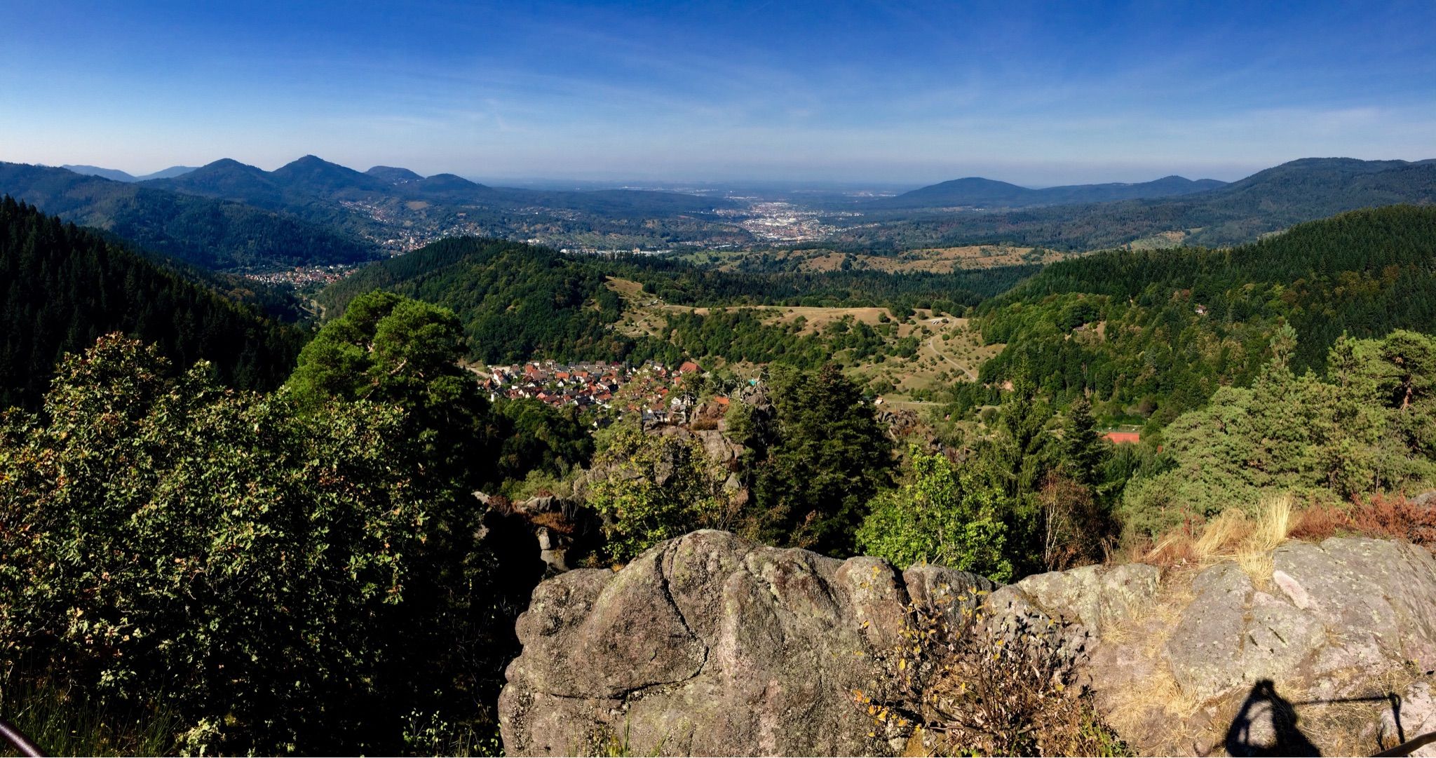
No traffic touring cycling routes around Gernsbach are situated in the scenic Murg Valley, on the northern edge of the Black Forest. The region is characterized by a mix of river valleys, dense forests, and rolling hills, offering varied terrain for cyclists. Elevated plateaus and vineyards contribute to the landscape, providing diverse backdrops for rides. The Murg River itself offers pleasant cycling paths along its banks.
Best no traffic touring cycling routes around Gernsbach
- The most popular no traffic touring…
Last updated: August 6, 2026
4.7
(17)
104
riders
24.3km
02:00
300m
300m
Moderate bike ride. Good fitness required. Mostly paved surfaces. Suitable for all skill levels.
4.5
(6)
76
riders
14.0km
01:09
160m
160m
Moderate bike ride. Good fitness required. Mostly paved surfaces. Suitable for all skill levels.

Sign up for free
4.4
(14)
74
riders
33.6km
02:57
680m
680m
Hard bike ride. Very good fitness required. Mostly paved surfaces. Suitable for all skill levels.
4.0
(16)
59
riders
12.5km
00:45
80m
80m
Easy bike ride. Great for any fitness level. Mostly paved surfaces. Suitable for all skill levels.
4.9
(12)
69
riders
39.1km
02:21
220m
220m
Moderate bike ride. Good fitness required. Mostly paved surfaces. Suitable for all skill levels.
Get access to more routes and recommendations from other explorers.
Sign up for free
Already have an account?
Our route recommendations are based on thousands of hikes, rides, and runs completed by other people on komoot.
Start today with a free account
Your next adventure awaits.
Login or Signup
Popular around Gernsbach
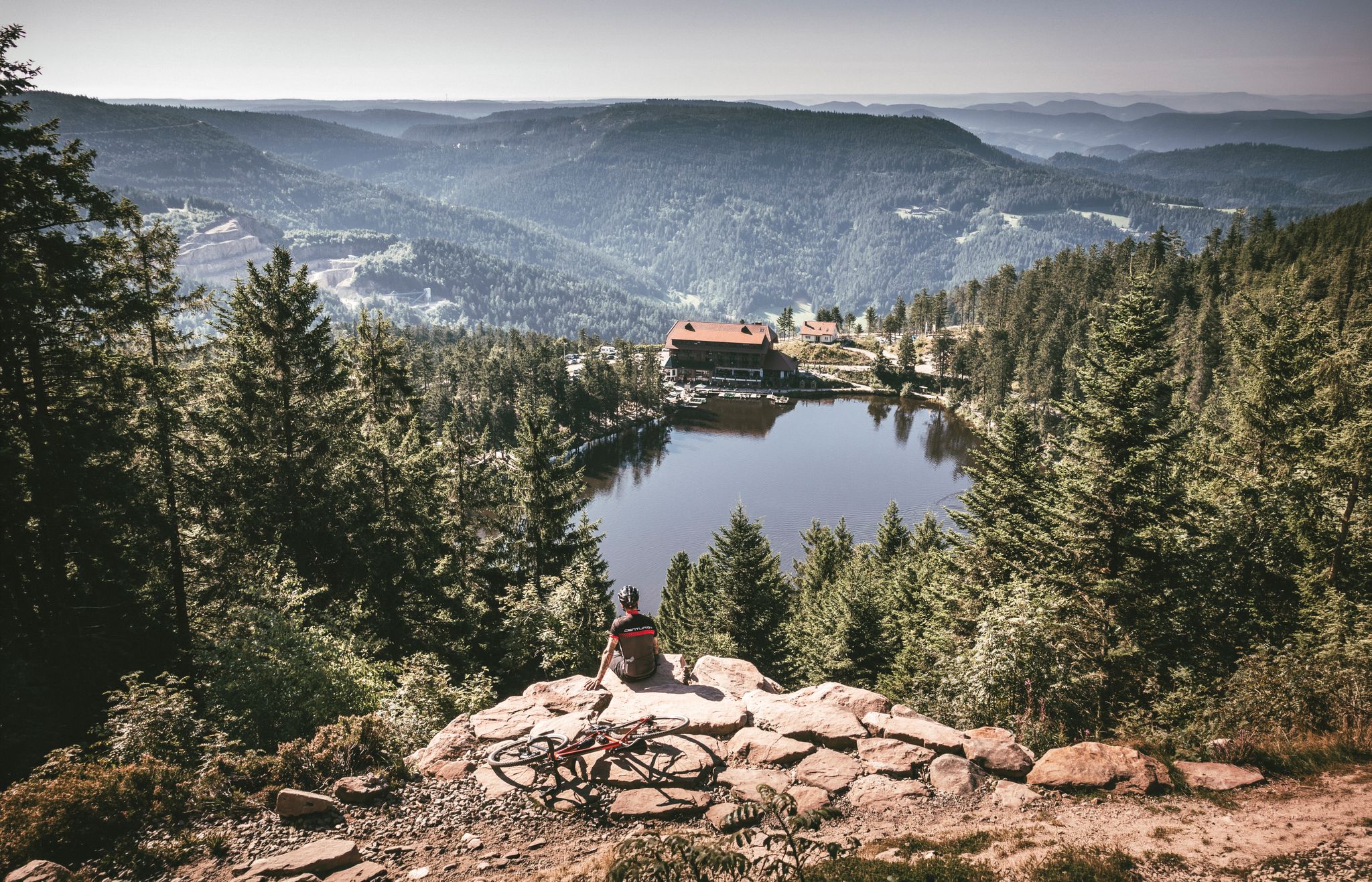
Your Gravel Summer – refreshing rides in the Black Forest
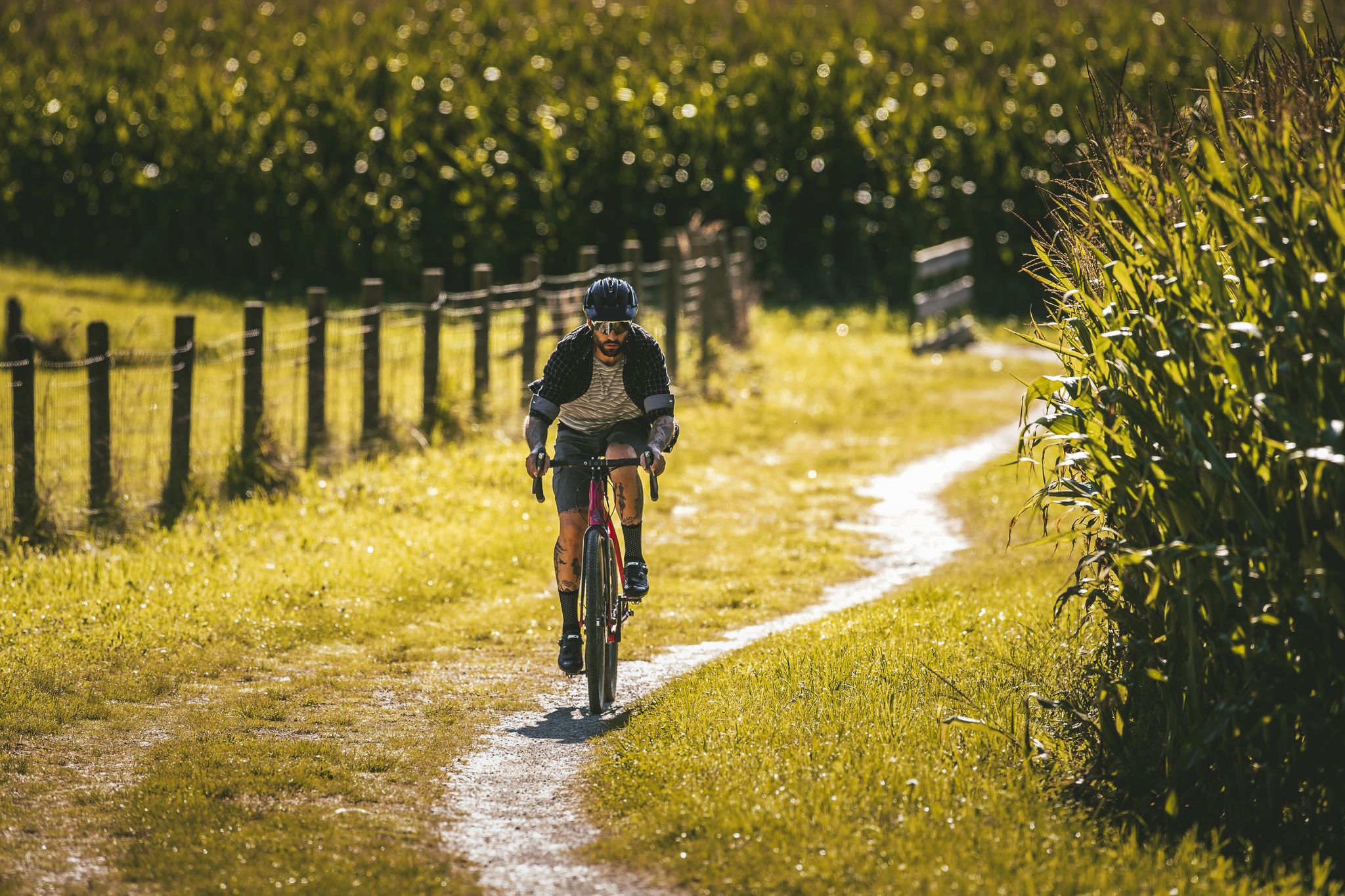
Your gravel adventure — Black Forest Cycle Route
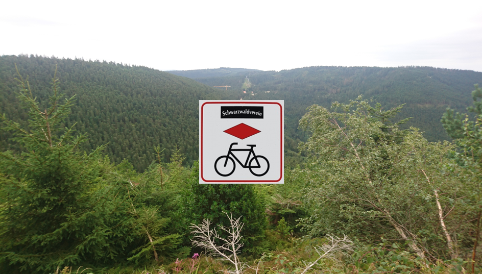
Black Forest Cycle Route from Karlsruhe to Lörrach
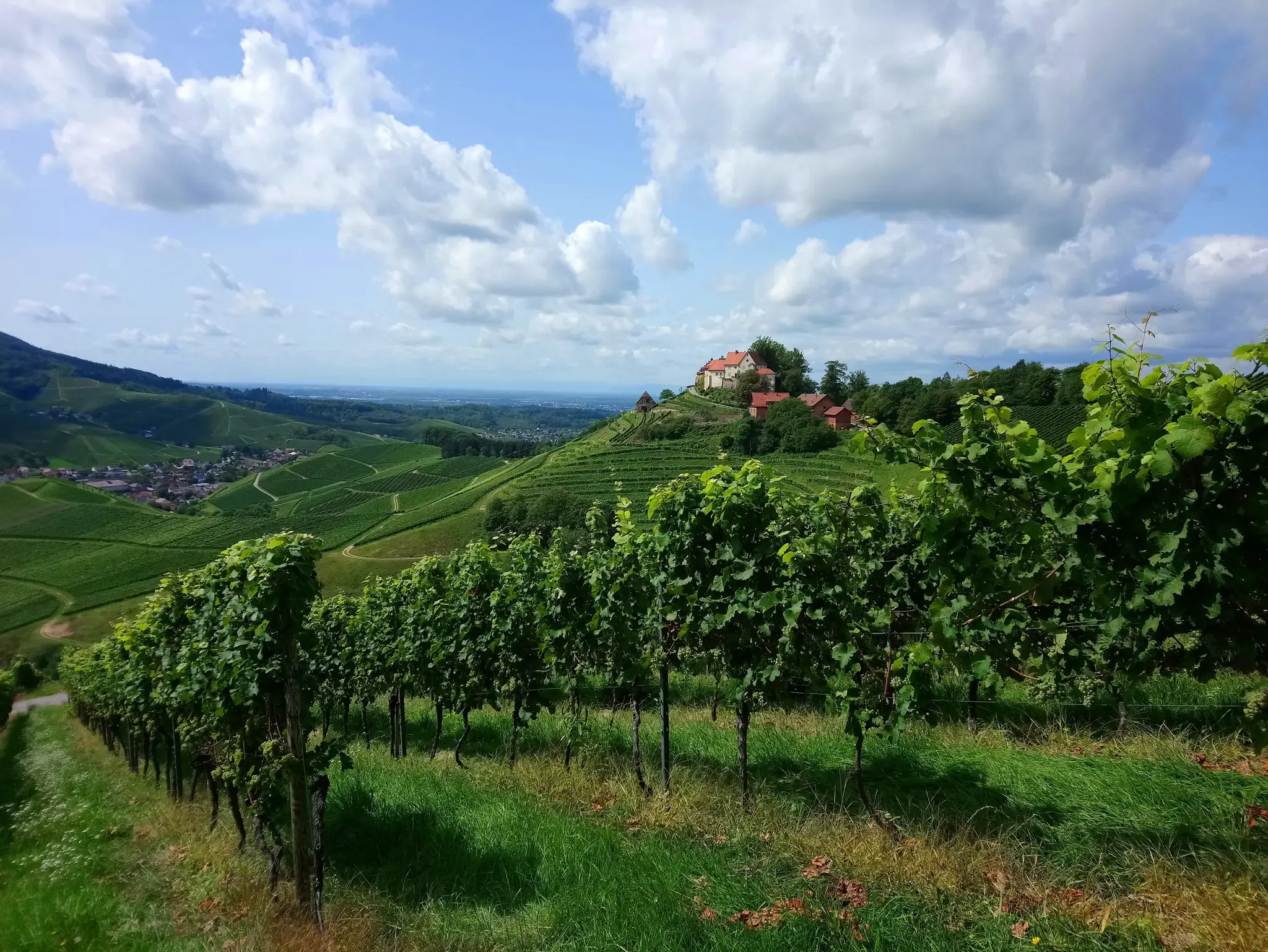
Ortenau Wine Trail – A glass of red and white, please
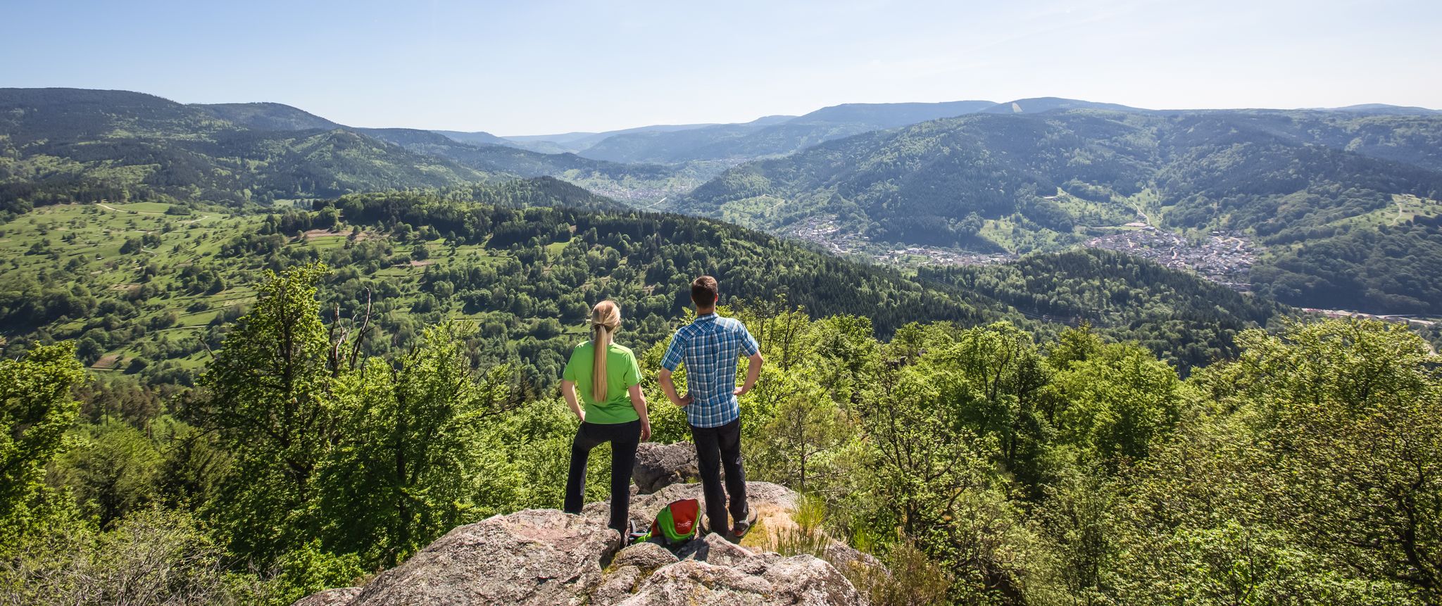
Murgleiter Trail – Experience the diverse Murg Valley in 5 stages
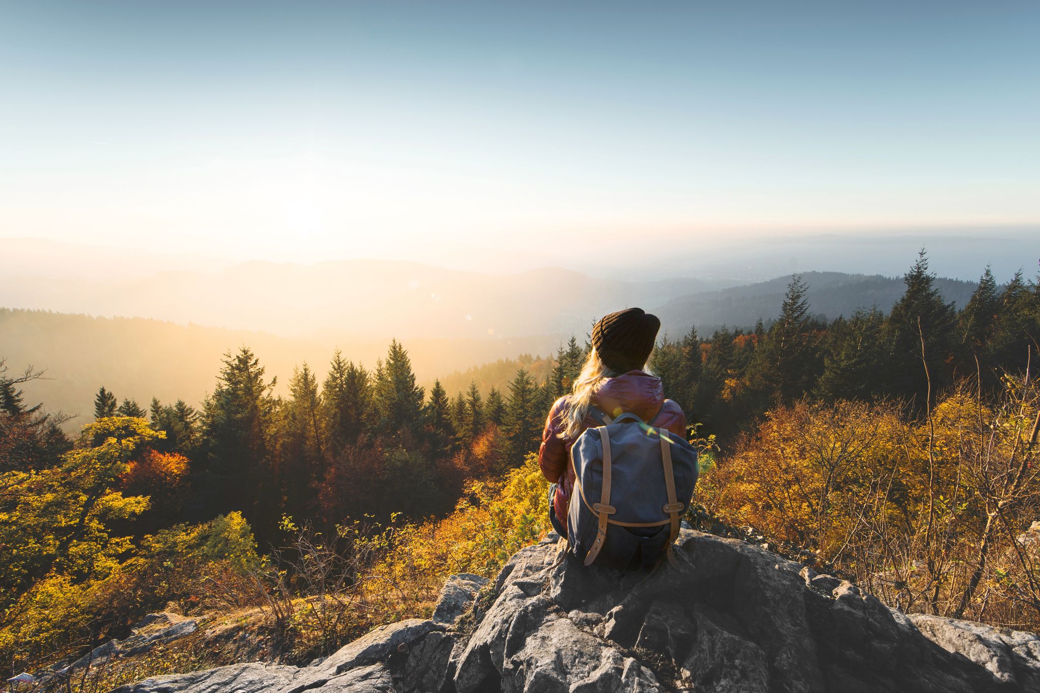
Right into the adventure – experience nature in Baden-Württemberg
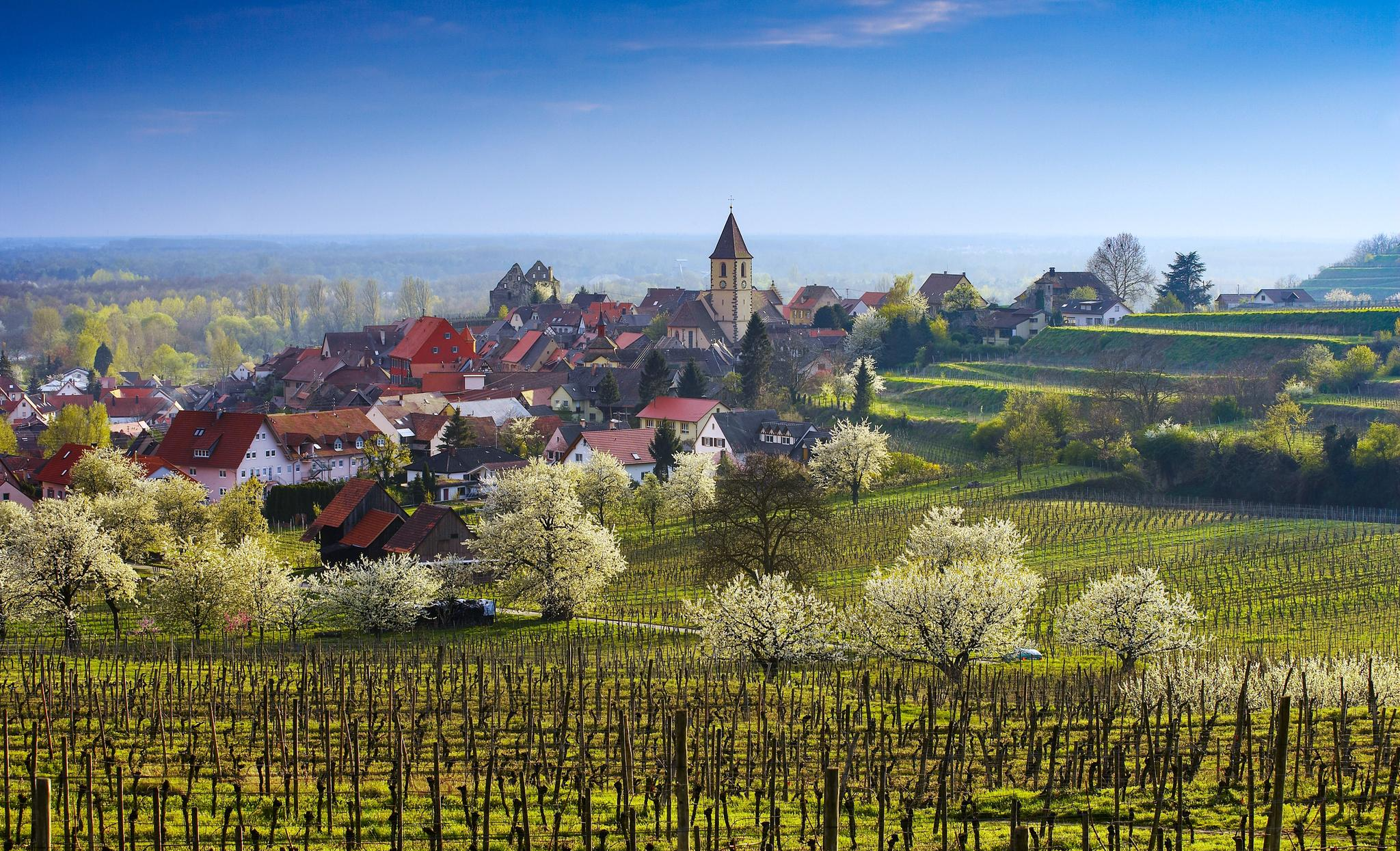
Dreaming in the valley – low-lying spring trails in the Black Forest

#GoFurther – discover the views of Germany!
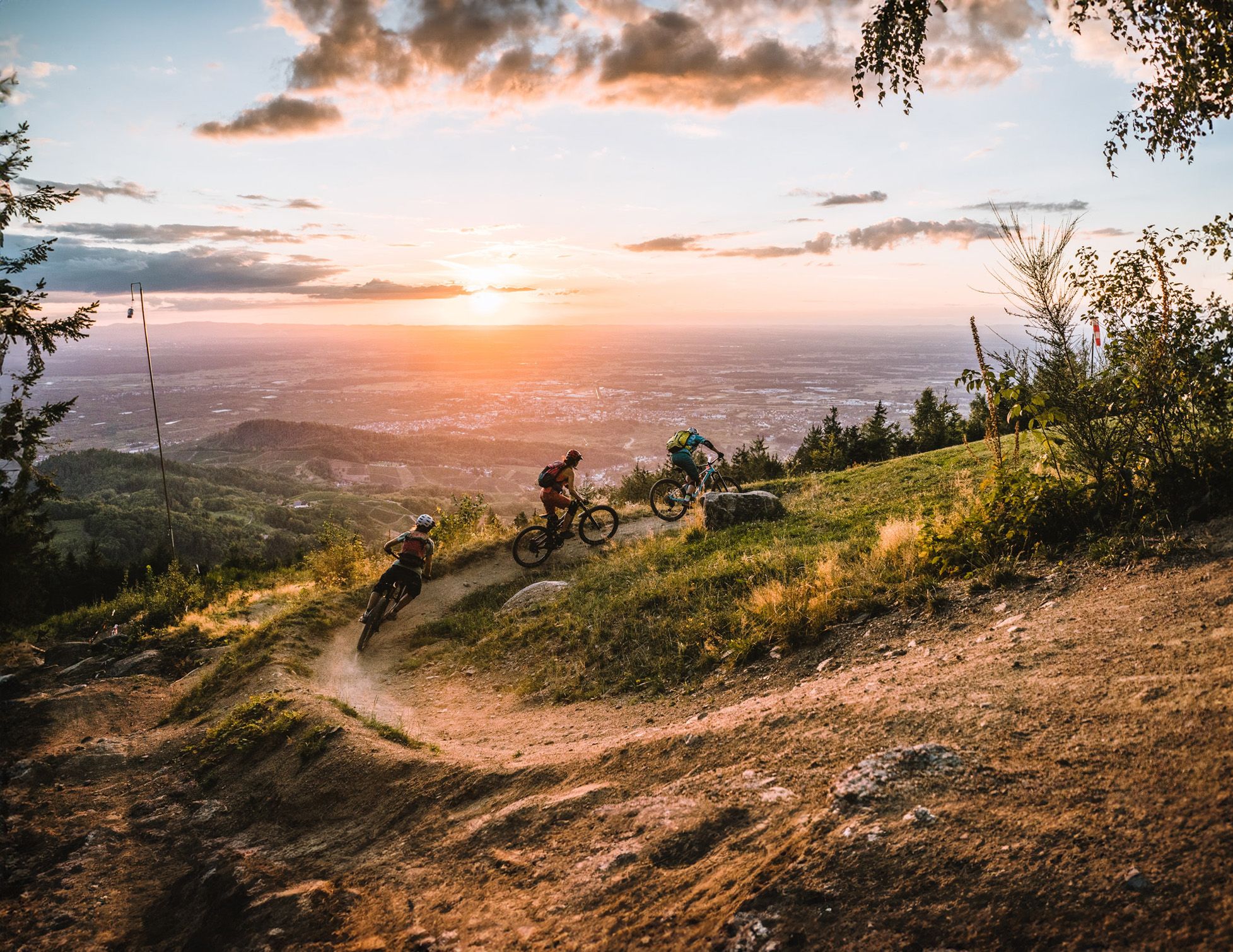
Discover the Black Forest on flowy trails
A glorious loop around Germany’s Gernsbach – Gernsbacher Runde
Other adventures around Gernsbach


Tips from the Community

The Baumwipfelpfad Schwarzwald is a 1250 m long treetop path on the Sommerberg west of Bad Wildbad in the district of Calw, Baden-Württemberg, at an altitude of approximately 750 m above sea level (NHN), and was built according to plans by the Schönberg architect Josef Stöger. The facility, opened in 2014, offers knowledge about the forest and its wildlife at various information stations, as well as an observation tower. It is operated by the company Erlebnis Akademie AG. The entrance to the path can be reached from the mountain station of the Sommerbergbahn via the Emmaweg or from the public car park via a zigzag path. The treetop path extends over a length of approximately 636 m and a height above the ground between about 4 and 20 m. It follows the terrain with a constant gentle incline and offers various didactic and experience stations such as balance beams or wobbly elements. In addition, there are 15 comic panels along the path, which are intended to provide excitement and convey knowledge, especially to children, as part of a treetop path comic rally. The entire path, including the ramp access in the observation tower, is barrier-free and reaches a maximum gradient of 6%. At the end of the path, you reach a 38.5 m high observation tower, which is mainly made of wood and, due to the arrangement of the twelve doubly inclined, glued laminated main supports, looks like a large twisted cup. The supports are arranged rotationally symmetrically at the same distance from each other and are inclined both outwards and clockwise laterally. They are connected by steel tubes, multiple cross-braced, and partially protected from the weather by sheet metal cladding. The access from the path into the tower takes place at a height of about five meters at the second winding of the 614 m long access ramp, which runs within the support columns, and which, after a total of nine windings, reaches the twelve-sided, approximately ring-shaped observation platform. This is attached to the outside of the supports with steel cantilevers and offers a view far into the Black Forest, the Rhine Valley, and the Swabian Jura. Orientation arrows to visible destinations and to the other treetop paths of the operating company are attached to the parapet. At a height of 25 m, between the access ramp and a central steel tube support in the middle of the tower, there is a triangular platform, from which a 55 m .....
0
0

In some pictures, a small wooden hut can be seen. Unfortunately, it burned down. Maybe a new one will be built; that would be nice.
2
0

Below this spot, an aircraft crashed on November 1, 1945, shortly after the end of the war. In the most severe air disaster ever to occur in our region, 26 American military personnel lost their lives. The aircraft was a Douglas C-47 (DC3) transport aircraft in its military version. It was put into service a year earlier and participated in "D-Day", the Normandy invasion, as a paratrooper transport. It had space for up to 32 people and was also known as a "raisin bomber" during the Berlin Airlift. On the day of the accident, 4 crew members and 26 U.S. Air Force soldiers were on board. They had been on vacation in London and were supposed to return to their units at the Oberschleißheim Air Force Base near Munich. Despite bad weather over the mainland, the 23-year-old pilot and his 22-year-old navigator decided to fly. Shortly after takeoff, the pilot had to climb above the cloud cover due to dense cloudiness and continue the flight using instruments. According to the navigator's calculations, a point near Augsburg should have been reached after 3 hours of flight, where the pilot could descend below the cloud cover and begin the approach using visual orientation. Due to strong headwinds, the calculated position was missed by more than 200 km. Consequently, the cloud cover was descended through north of Karlsruhe, and the navigator lost orientation. They followed the Rhine in a southwesterly direction until near Wintersdorf, a 90-degree correction was made to the original course towards Munich. The DC3 thus steered directly towards the 693-meter-high Bernstein. The pilot and navigator continued to try to determine the correct position from low altitude, which became increasingly difficult due to the approaching fog. Despite the dense fog, the silhouette of the aircraft was recognizable when flying over Michelbach. Around 4:30 PM, the aircraft crashed at an altitude of 620 meters, where it broke into several pieces and went up in flames after explosions. Many victims died because help arrived too late. That help arrived at all four hours after the accident is thanks to three survivors who, despite severe injuries, made their way to Sulzbach and Bernbach. Until now, only rumors had surrounded this event, and it eventually fell into oblivion.
5
0
Right well-walkable hiking trail over some stones and roots as a direct connection to the Bernstein Felsen.
4
0

Beautiful section on the lower reaches of the Murg.
3
0

A brief description is available here
0
0

A beautiful stretch of road; it's beautiful everywhere here.
0
1

Relatively blocky trail with large rocks, small drops, and sandy ground - technically already a bit demanding, i.e. for the more advanced and not necessarily for the absolute beginner. Therefore, absolutely not a "cycling highlight", but for MTB. Then it's also fun. The average person with a standard trekking bike or even a normal gravel bike will probably have to get off and carry it in places. But it's worth it
1
0
Frequently Asked Questions
How many no-traffic touring cycling routes are available around Gernsbach?
There are over 50 dedicated no-traffic touring cycling routes around Gernsbach, offering a wide range of experiences from easy riverside paths to more challenging forest ascents. The region is known as an "Eldorado" for cyclists, with diverse terrain suitable for various skill levels.
Are there any easy, family-friendly no-traffic cycling routes in Gernsbach?
Yes, Gernsbach offers several easy, family-friendly options, particularly along the Murg Valley. These routes often feature gentle gradients and paved surfaces. An excellent example is the Murg Island Gernsbach – Gernsbach Old Town loop from Hilpertsau, which is rated easy and keeps you away from busy roads.
What kind of natural features or landmarks can I expect to see along these routes?
Gernsbach's no-traffic routes wind through a picturesque landscape rich in natural and historical sights. You can discover the tranquil moor landscape around the Wildsee, explore the charming Geroldsauer Waterfall, or enjoy panoramic views from Hohloh Tower (Kaiser Wilhelm Tower). Many routes also pass through dense Black Forest sections and vineyards.
Are there any circular no-traffic cycling routes around Gernsbach?
Yes, many of the no-traffic touring cycling routes in Gernsbach are designed as loops, allowing you to start and end at the same point. For instance, the Swing at Döbler View – Boardwalk to Wildsee loop from Kaltenbronn offers a moderate circular experience through beautiful natural scenery.
Can I access these no-traffic routes using public transport?
The Murg Valley is well-served by public transport, particularly the S-Bahn (train) which runs along the valley. This makes it convenient to reach starting points for many routes, including sections of the popular Tour de Murg, and offers the flexibility to cycle one way and return by train.
What is the best season for no-traffic touring cycling in Gernsbach?
The best season for no-traffic touring cycling in Gernsbach is generally from spring to autumn. Spring offers blooming landscapes, while summer provides warm weather perfect for longer rides. Autumn brings stunning foliage to the Black Forest. Always check local weather conditions, especially for higher elevations, as they can vary.
Are there any routes that include historical sites or charming towns?
Absolutely. Many routes integrate the region's rich history and charming towns. You can cycle through Gernsbach's historic old town with its half-timbered houses, or explore routes that pass by landmarks like Eberstein Castle. The Historic Center of Loffenau – Bernsteinfels Viewpoint loop from Gernsbach is a challenging route that takes you through historical areas.
What are the difficulty levels of the no-traffic touring cycling routes?
The routes around Gernsbach cater to all levels. You'll find easy, mostly flat paths ideal for beginners and families, moderate routes with gentle ascents and descents, and more difficult options that include significant climbs into the Black Forest. There are 7 easy, 20 moderate, and 25 difficult routes available.
Are there any routes that feature waterfalls?
Yes, you can find routes that lead to or pass by beautiful waterfalls. The Kurpark Gernsbach Waterfall – Historic Hörden Wooden Bridge loop from Gernsbach is a moderate route that specifically highlights a waterfall, offering a refreshing natural spectacle along your ride.
What do other cyclists say about the no-traffic touring routes in Gernsbach?
The no-traffic touring routes in Gernsbach are highly rated by the komoot community, with an average score of 4.67 stars. Reviewers often praise the quiet, scenic paths, the diverse landscapes ranging from river valleys to dense forests, and the well-maintained trails that make for an enjoyable and safe cycling experience.
Are there options for longer distance no-traffic touring in the region?
Yes, Gernsbach is part of the broader Black Forest Cycle Route network, offering possibilities for longer tours. While individual routes might be shorter, they can often be linked to create extended no-traffic touring experiences, allowing you to explore more of the Murg Valley and the northern Black Forest.
Most popular routes around Gernsbach
Most popular attractions around Gernsbach

Get inspired with the komoot mobile app


Explore more
Browse the best Cycling routes in other regions.
