The best traffic-free bike rides around Blumberg
4.6
(456)
5,726
riders
62
rides
No traffic road cycling routes around Blumberg traverse a landscape characterized by rolling hills, river valleys, and stretches of open countryside. The region offers varied terrain suitable for road cyclists seeking routes away from vehicular traffic. These routes often follow quiet country roads, providing opportunities to experience the local environment.
Best no traffic road cycling routes around Blumberg
- The most popular no traffic road cycling route is View of Öfinger See – Cycling Junction 43 Öfingen loop from Geisingen-Aulfingen,…
Last updated: August 6, 2026
4.3
(10)
62
riders
Easy road ride. Great for any fitness level. Mostly well-paved surfaces and easy to ride.
5.0
(3)
46
riders
Easy road ride. Great for any fitness level. Mostly well-paved surfaces and easy to ride.

Sign up for free
5.0
(3)
13
riders
80.7km
03:38
790m
790m
Moderate road ride. Good fitness required. Mostly well-paved surfaces and easy to ride.
6
riders
25.7km
01:21
460m
460m
Moderate road ride. Good fitness required. Mostly well-paved surfaces and easy to ride.
6
riders
30.0km
01:34
500m
500m
Moderate road ride. Good fitness required. Some segments of this route may be unpaved and difficult to ride.
Get access to more routes and recommendations from other explorers.
Sign up for free
Already have an account?
Our route recommendations are based on thousands of hikes, rides, and runs completed by other people on komoot.
Start today with a free account
Your next adventure awaits.
Login or Signup
Popular around Blumberg
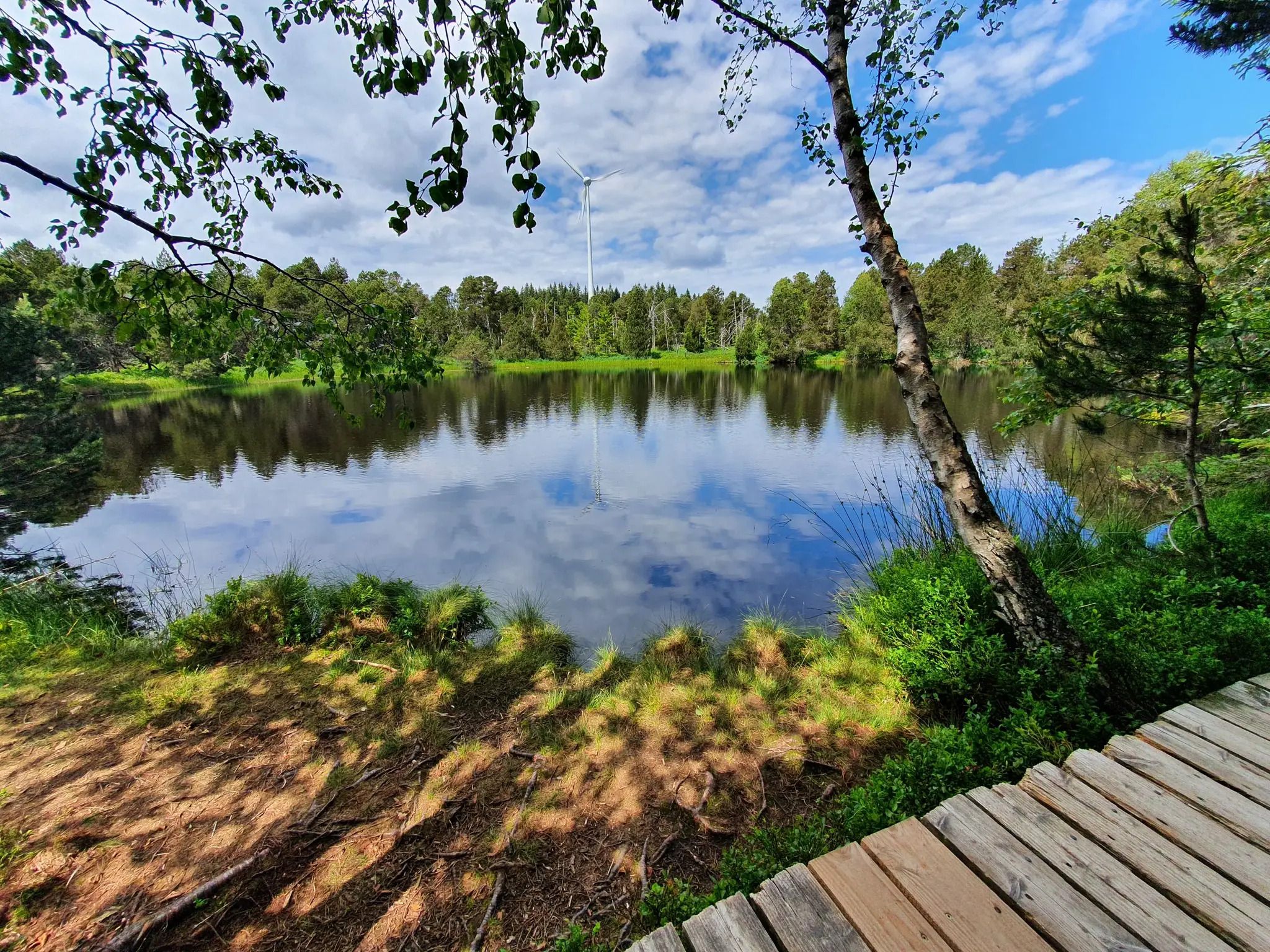
Hike the WasserWeltenSteig – Waterfalls, lakes and rivers of the Black Forest
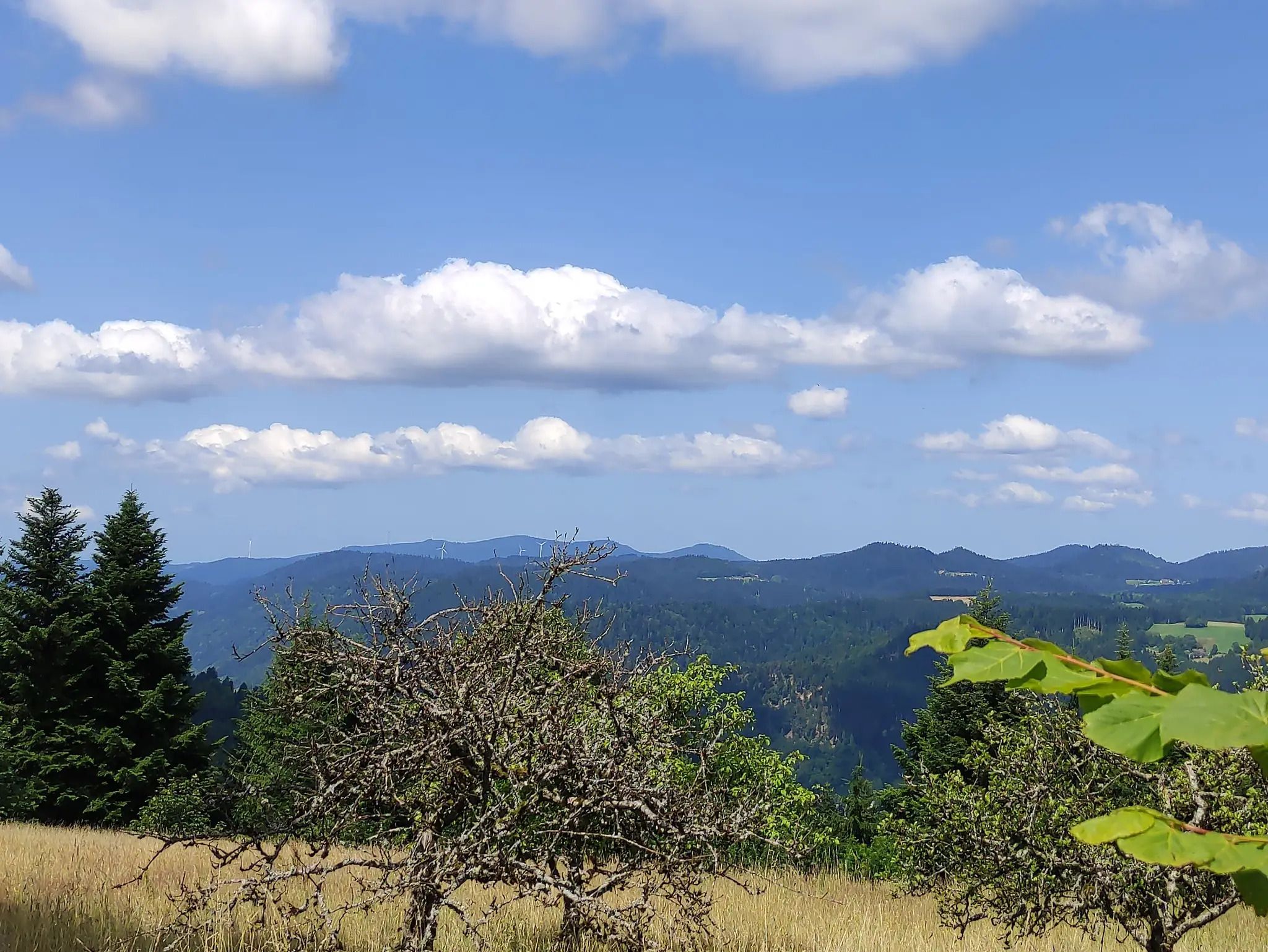
The Eastern Path of the Black Forest Association
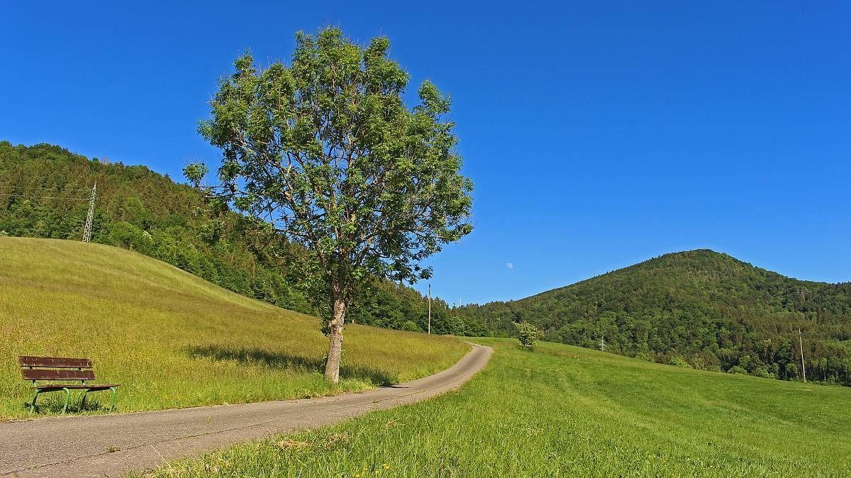
The Freiburg–Lake Constance Black Forest Trail — To the Swabian Sea
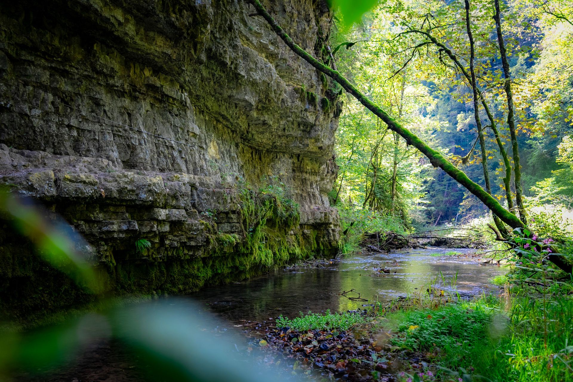
Germany’s largest canyon – hiking in the Wutach Gorge
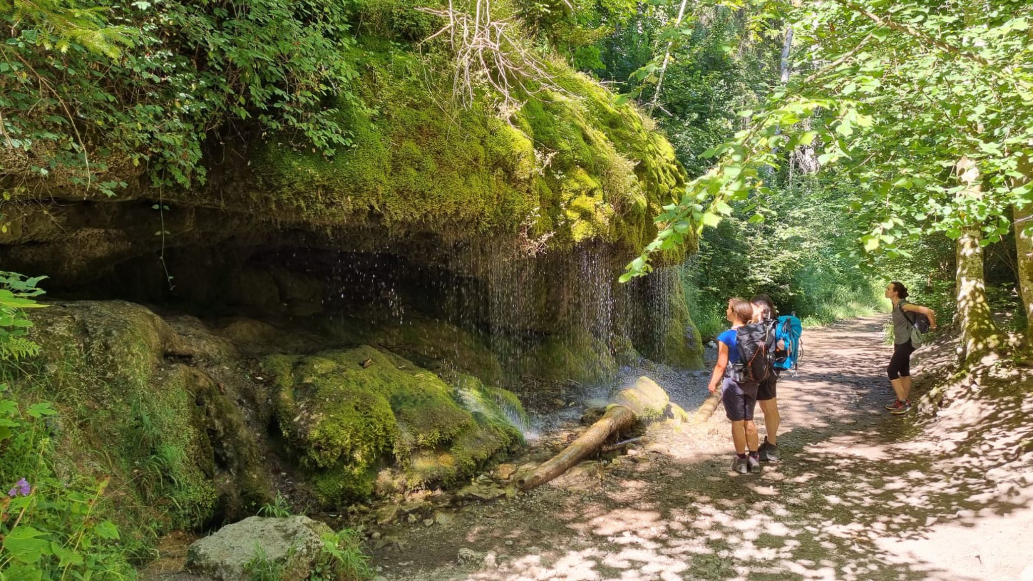
Schluchtensteig-Ost | From Stühlingen to Schluchsee
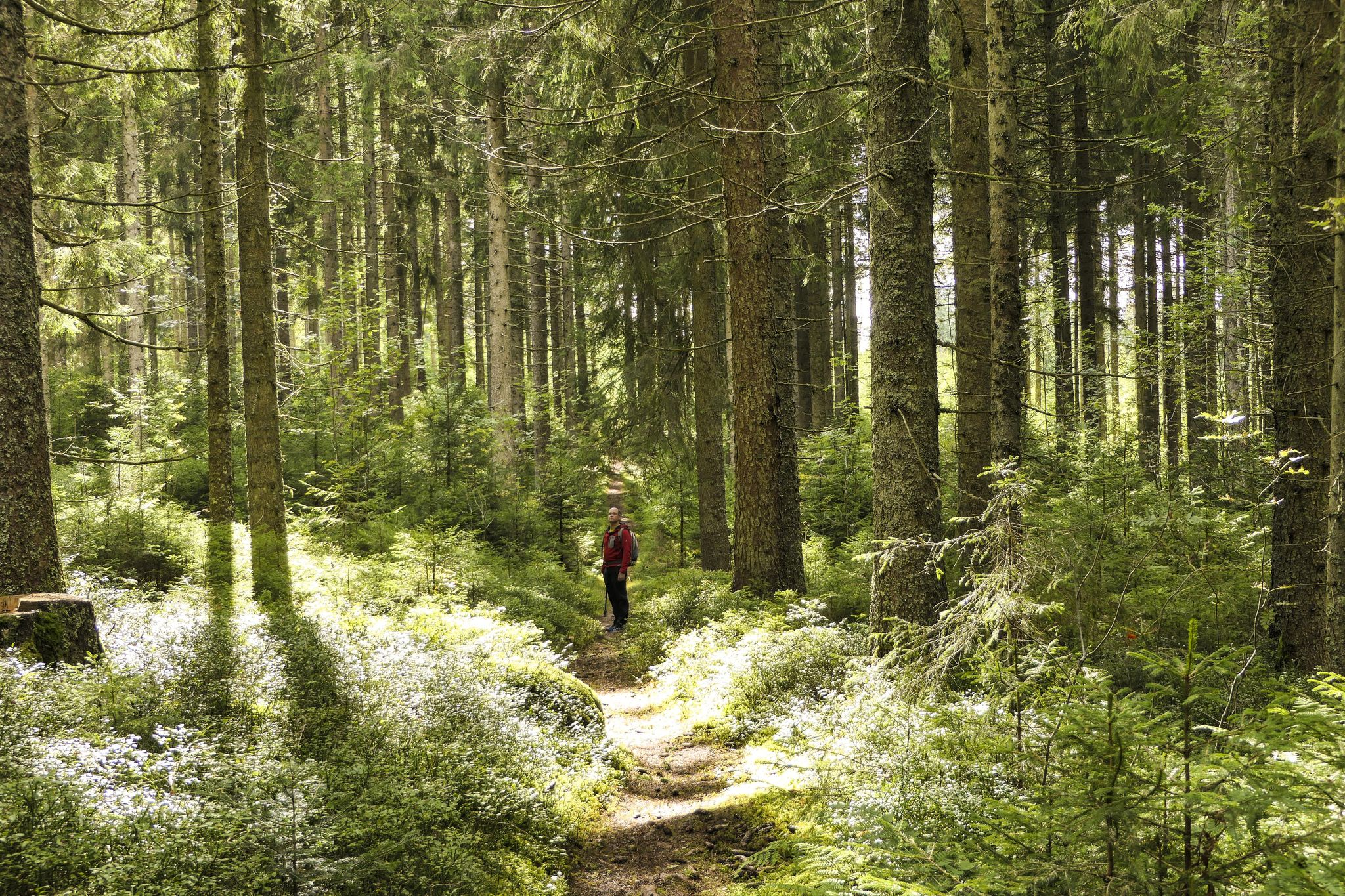
Discover 10 special protected natural areas in Germany’s Baden–Württemberg
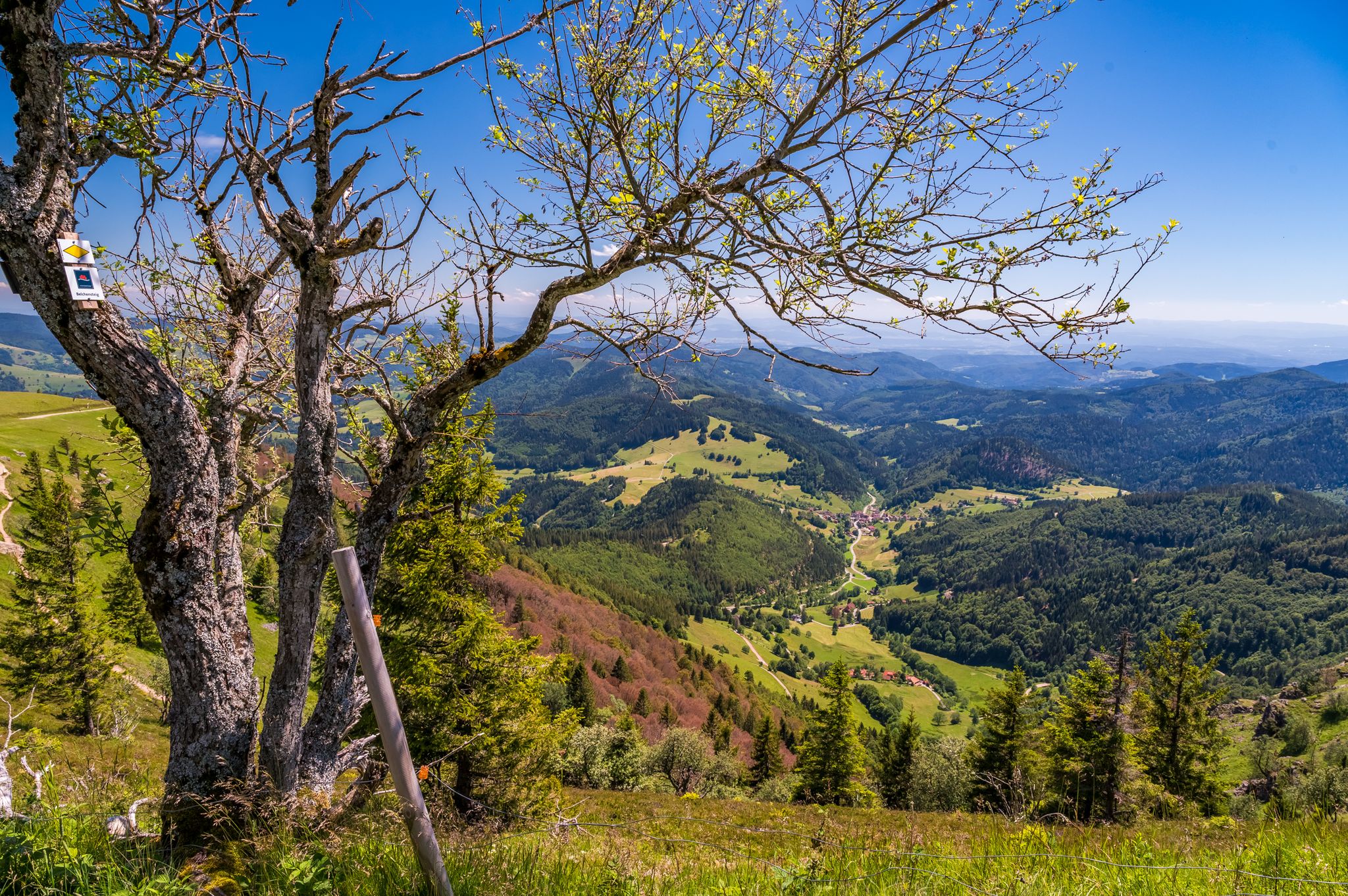
Summer, summits and huts – varied hikes in the Black Forest
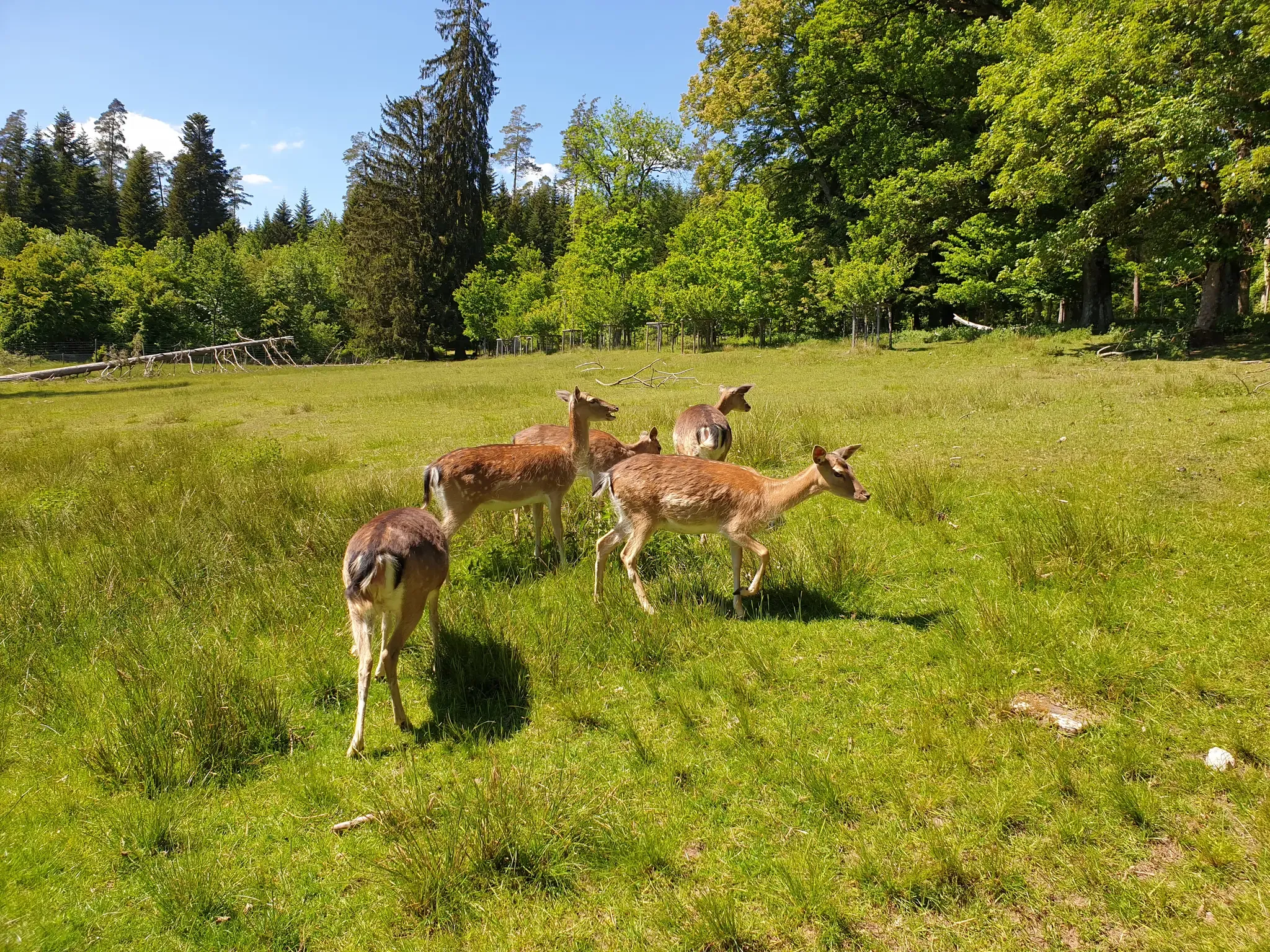
Animals and spectacular landscapes – Black Forest pleasure trails
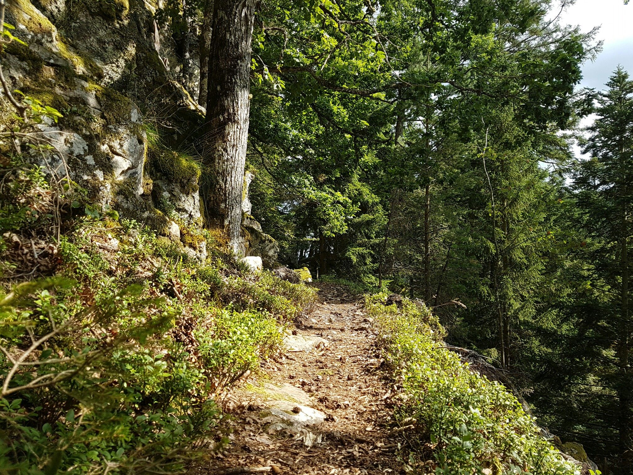
Through gorges on the Black Forest pleasure trails
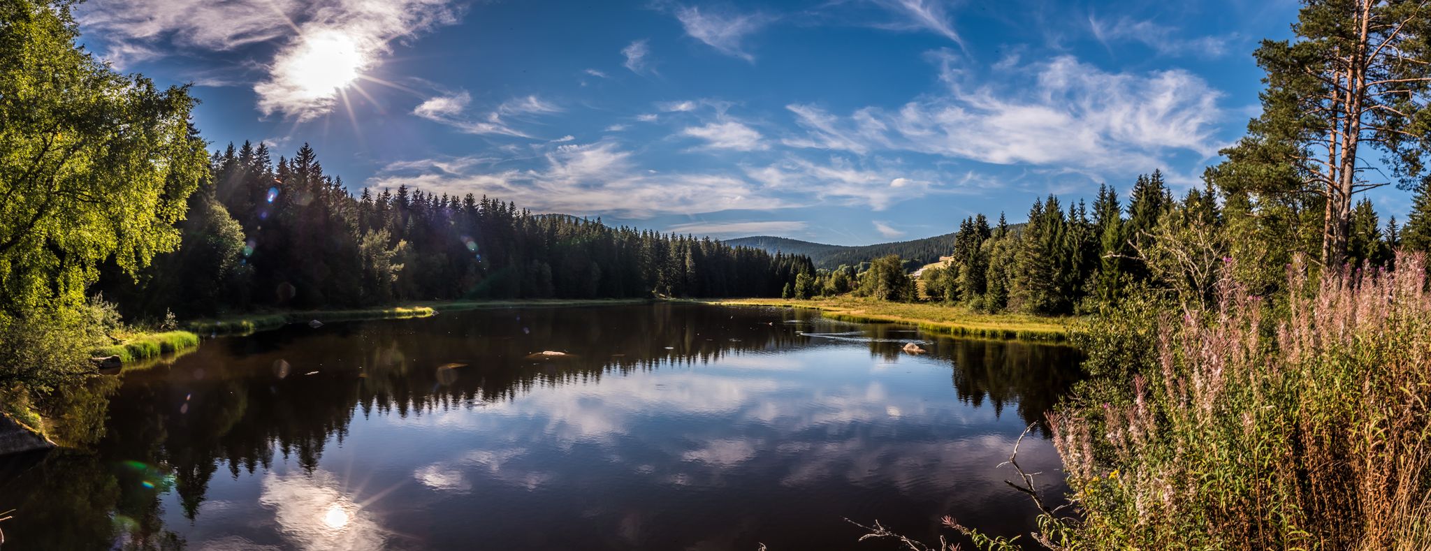
Holidays for the soul — pleasure trails in the Black Forest
Other adventures around Blumberg


Tips from the Community

With good visibility, you have a clear view of the Black Forest to the west and the Swabian Jura to the east from up here.
0
0

Danube right behind Tuttlingen
0
0

The Danube runs here in a straight line for more than 1 km in a canal with narrow strips of vegetation on both sides. Rather disappointing for a first view of the Danube when coming from the train station.
0
0


The Jakobskapelle near Achdorf is picturesquely situated on a hill above the Wutachtal valley. The small house of worship originally dates back to the Middle Ages and was once an important stop for pilgrims on the Way of St. James. From the chapel, there is a beautiful view of the surrounding landscape and the valley.
6
0

Small lake surrounded by green meadows 👍🏼
1
0
Quiet during the week, but quite busy on the weekends
1
0
More chapel than church, with its turret
1
0
Frequently Asked Questions
How many traffic-free road cycling routes are available around Blumberg?
There are over 50 traffic-free road cycling routes around Blumberg listed on komoot, offering a variety of distances and difficulty levels for cyclists to explore.
What is the general difficulty level of traffic-free road cycling routes in Blumberg?
The routes around Blumberg cater to a range of abilities. You'll find approximately 19 easy routes, 36 moderate routes, and 3 more challenging options, ensuring there's something for every road cyclist.
What do other cyclists say about road cycling in Blumberg?
The area is highly rated by the komoot community, with an average score of 4.6 stars from 19 ratings. Reviewers often praise the quiet roads and scenic views available on these traffic-free routes.
Are there any circular no-traffic road cycling routes in Blumberg?
Yes, many of the routes are circular. For example, the moderate route "Scheffellinde Inn – St. Jakobus Chapel Achdorf loop from Wutach" is a 25.7 km loop that starts and ends in Wutach, offering a great circular experience.
Are there any easy, traffic-free road cycling routes suitable for beginners in Blumberg?
Absolutely. An excellent option for beginners is the "View of Öfinger See – Cycling Junction 43 Öfingen loop from Geisingen-Aulfingen". This easy 34.1 km route features a manageable elevation gain of around 250 meters, making it ideal for those new to road cycling.
What kind of landmarks or natural features can I see along these traffic-free routes?
While cycling traffic-free routes around Blumberg, you can encounter various points of interest. For instance, you might pass by natural features like the Tannegger Waterfall or explore historical sites such as the Löffingen Castle Mill. There are also several caves in the wider region, including Kesslerloch Cave.
Are there any longer, more challenging traffic-free road cycling routes for experienced riders?
For experienced riders seeking a longer challenge, consider the "Danube Near Pfohren – Danube Footbridge, Immendingen loop from Tengen". This moderate route spans over 80 km with an elevation gain of approximately 774 meters, offering a substantial ride.
Can I find routes that pass by interesting historical sites or attractions?
Yes, some routes offer glimpses of local history and attractions. The "Sauschwänzlebahn Steam Railway – Wutach Bridge and Wutach Mill loop from Grimmelshofen" is a moderate 30 km route that takes you past the historic Sauschwänzlebahn Steam Railway, offering a unique sight during your ride.
Are there any routes that offer scenic views or pass by bodies of water?
Yes, you can find routes with scenic vistas. The "View of Öfinger See – Cycling Junction 43 Öfingen loop from Geisingen-Aulfingen" route, for example, provides views of Öfinger See, offering pleasant waterside scenery.
What is the typical duration for a traffic-free road cycling route in Blumberg?
Route durations vary significantly based on distance and elevation. An easy 34 km route like "View of Öfinger See – Cycling Junction 43 Öfingen loop from Geisingen-Aulfingen" might take around 1.5 hours, while a longer, moderate 80 km route such as "Danube Near Pfohren – Danube Footbridge, Immendingen loop from Tengen" could take over 3.5 hours.
Are there any routes that feature notable bridges or river crossings?
Yes, some routes incorporate interesting crossings. The "Oberes Schloss Immendingen – Danube Footbridge, Immendingen loop from Geisingen-Aulfingen" is an easy 37.5 km route that includes the Danube Footbridge, offering a unique element to your ride.
Most popular attractions around Blumberg

Get inspired with the komoot mobile app


Explore more
Browse the best Road cycling routes in other regions.
