The best MTB trails around Blumberg
4.5
(274)
870
riders
94
rides
Mountain biking around Blumberg offers diverse terrain, characterized by an undulating landscape with significant elevation changes. The region features hills and higher peaks, such as Hagen at over 3,000 feet, providing varied challenges for riders. This area in Germany is known for its network of trails that traverse through natural features, including valleys and viewpoints. The varied topography makes it suitable for a range of mountain biking experiences.
Best mountain bike trails around Blumberg
- The most popular mountain bike trail…
Last updated: October 7, 2026
4.7
(19)
43
riders
38.1km
02:47
460m
460m
Moderate mountain bike ride. Good fitness required. Suitable for all skill levels.
4.6
(7)
24
riders
Moderate mountain bike ride. Good fitness required. Advanced riding skills necessary.

4.7
(10)
25
riders
20.9km
01:39
300m
300m
Easy mountain bike ride. Great for any fitness level. Suitable for all skill levels.
4.7
(7)
27
riders
53.0km
03:21
560m
560m
Moderate mountain bike ride. Good fitness required. Advanced riding skills necessary.
4.4
(11)
30
riders
20.9km
01:27
200m
200m
Easy mountain bike ride. Great for any fitness level. Suitable for all skill levels.
Get access to more routes and recommendations from other explorers.
Already have an account?
Our route recommendations are based on thousands of hikes, rides, and runs completed by other people on komoot.
Start today with a free account
Your next adventure awaits.
Popular around Blumberg
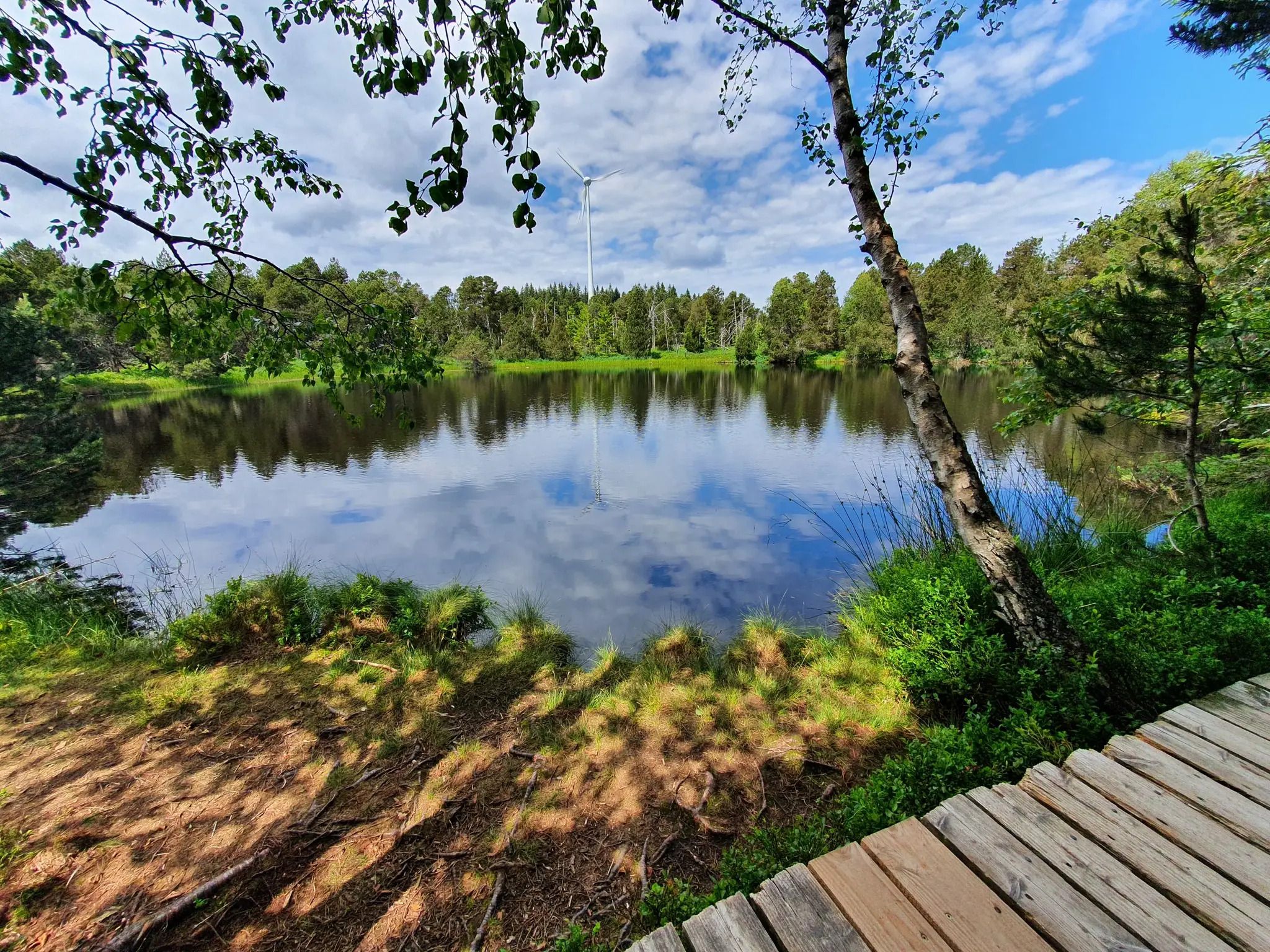
Hike the WasserWeltenSteig – Waterfalls, lakes and rivers of the Black Forest
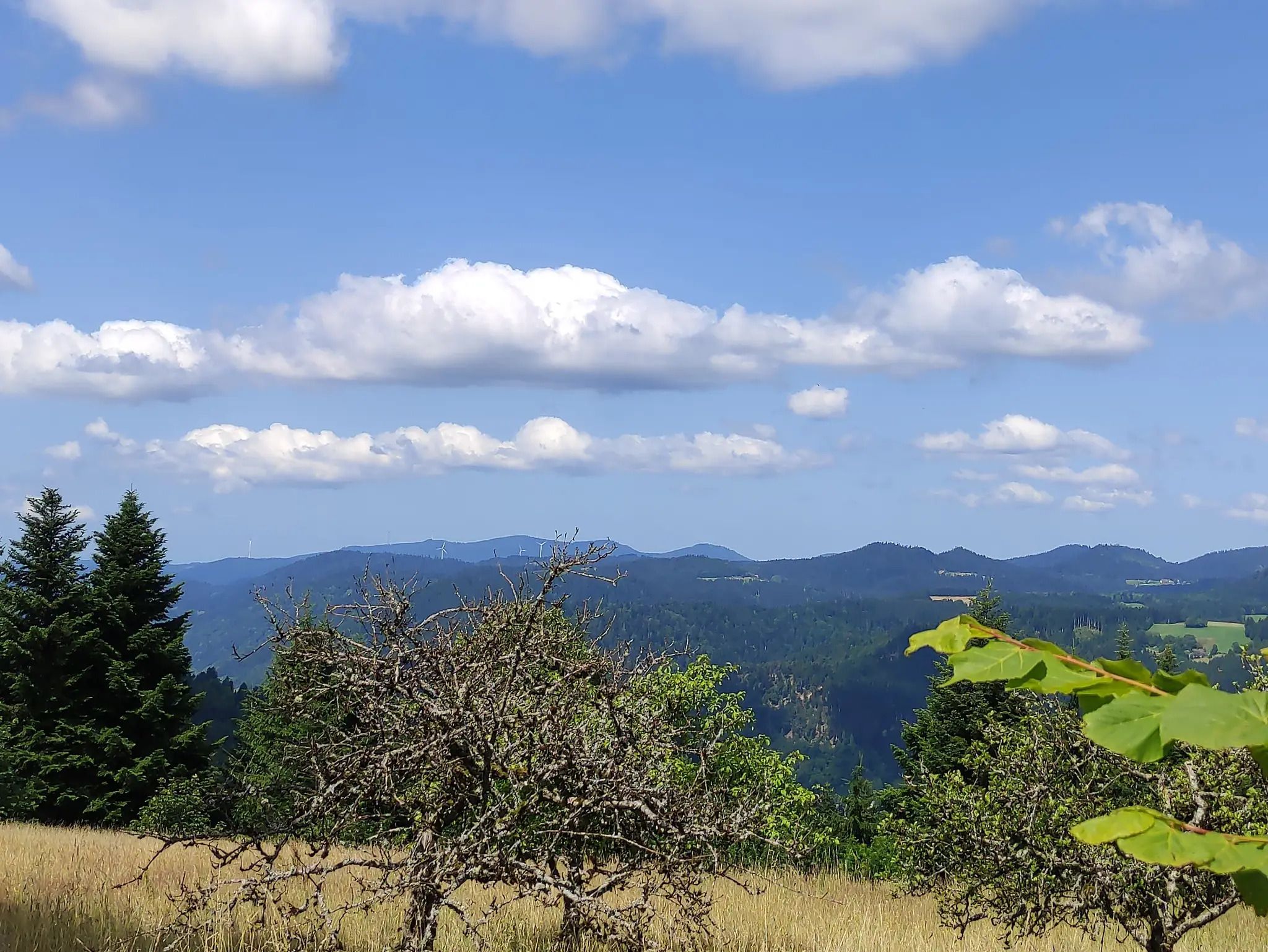
The Eastern Path of the Black Forest Association
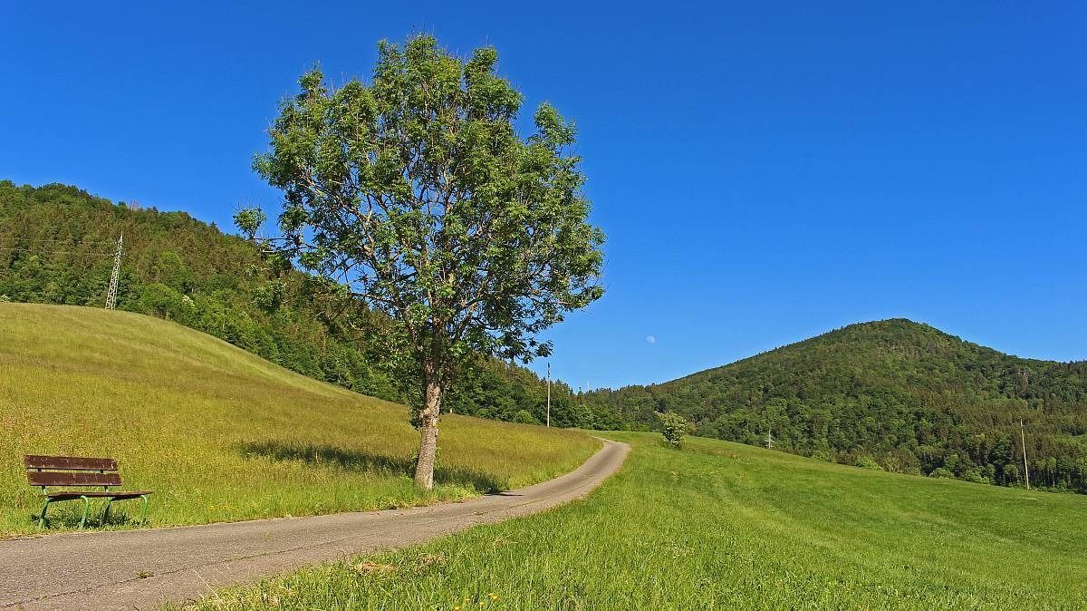
The Freiburg–Lake Constance Black Forest Trail — To the Swabian Sea
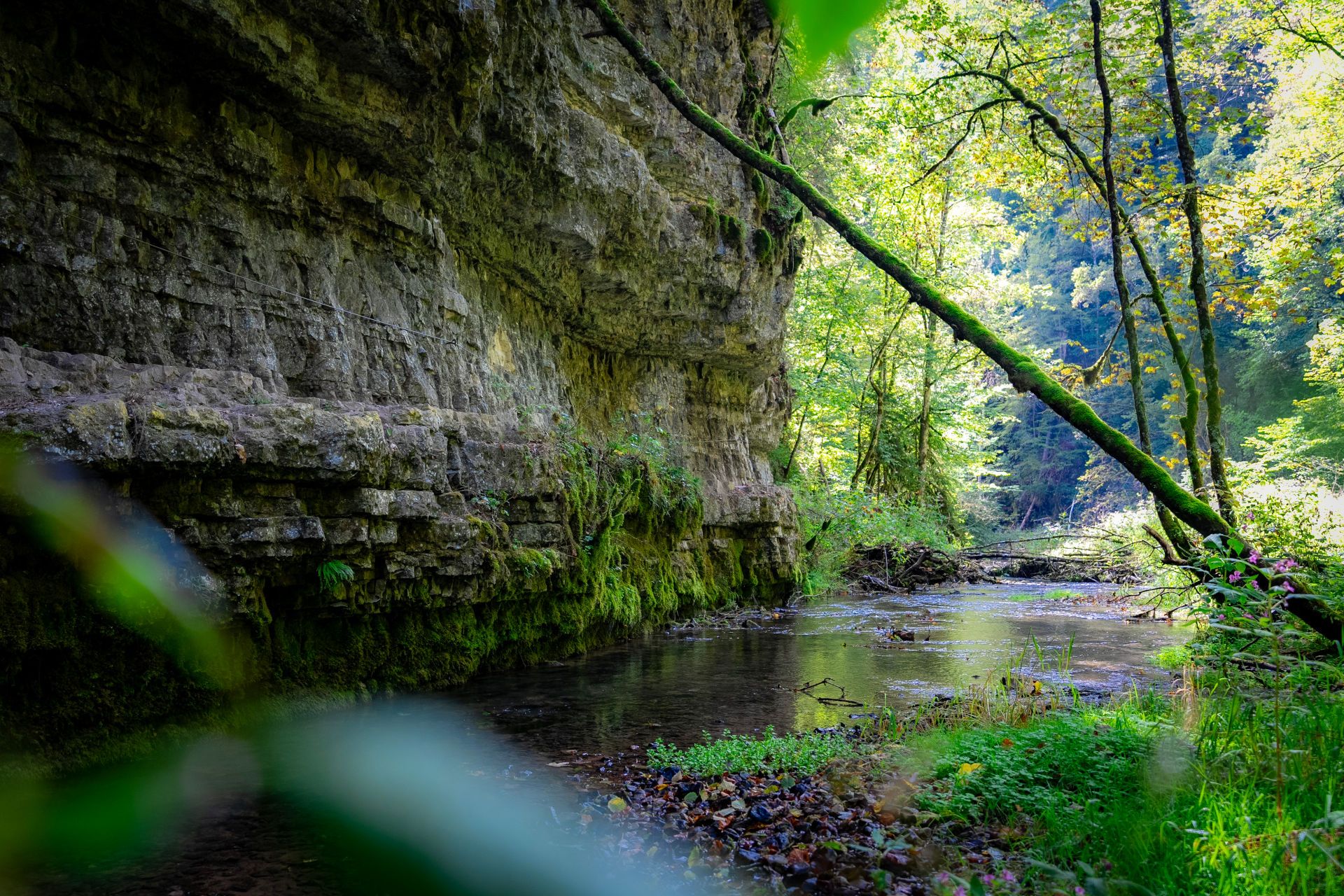
Germany’s largest canyon – hiking in the Wutach Gorge
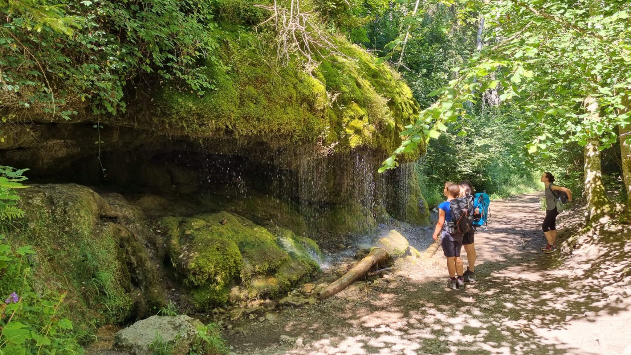
Schluchtensteig-Ost | From Stühlingen to Schluchsee
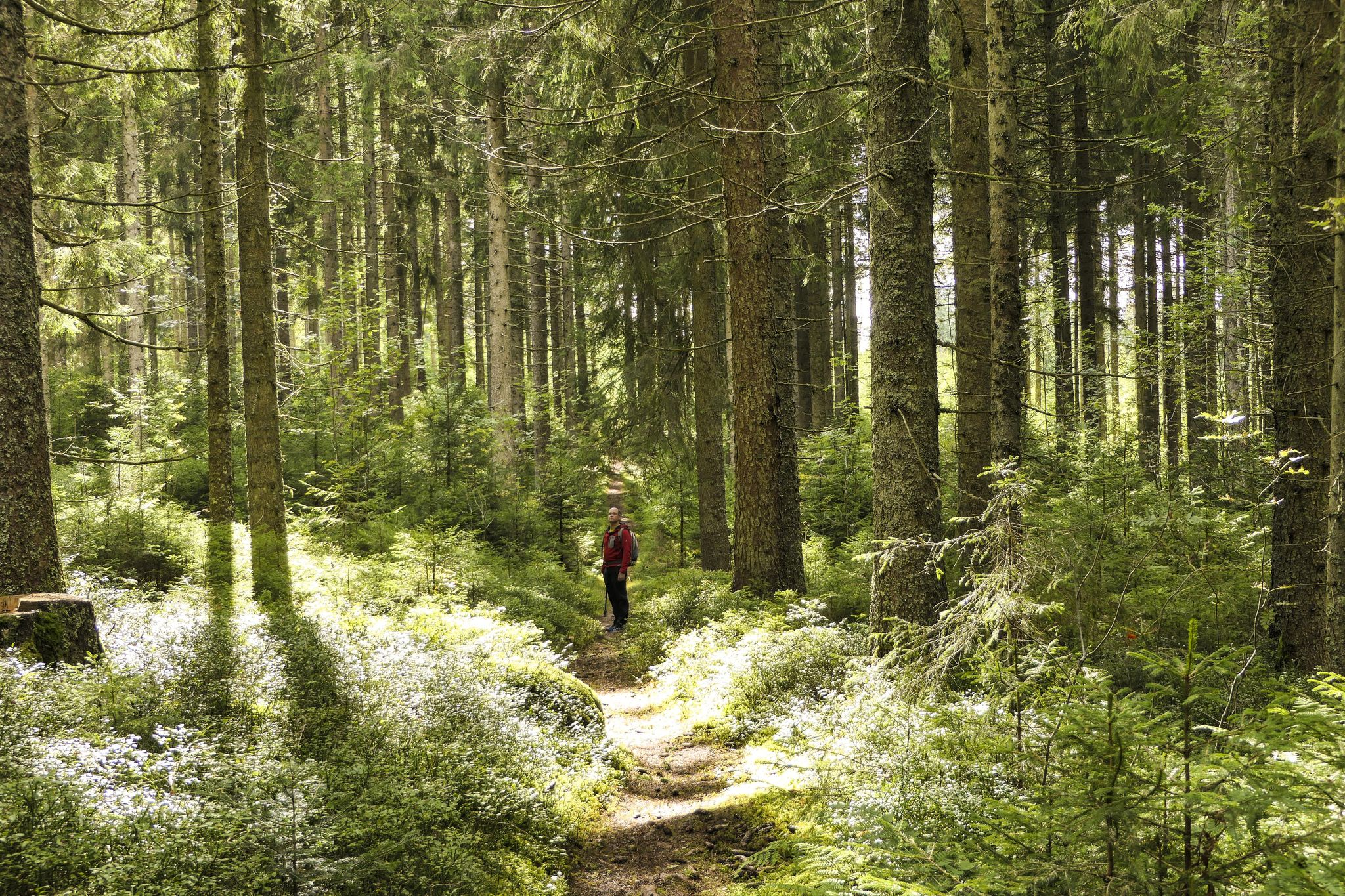
Discover 10 special protected natural areas in Germany’s Baden–Württemberg
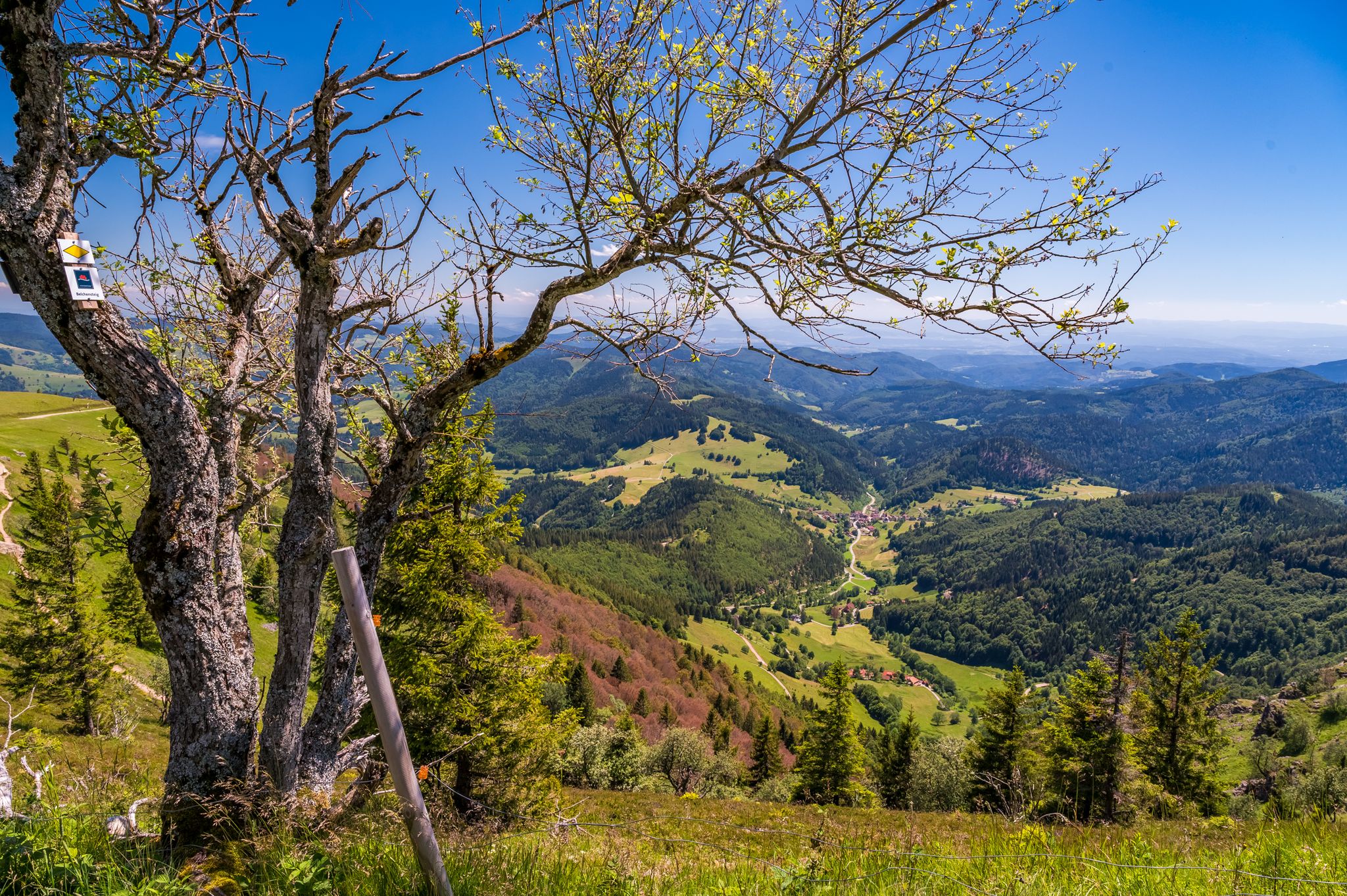
Summer, summits and huts – varied hikes in the Black Forest
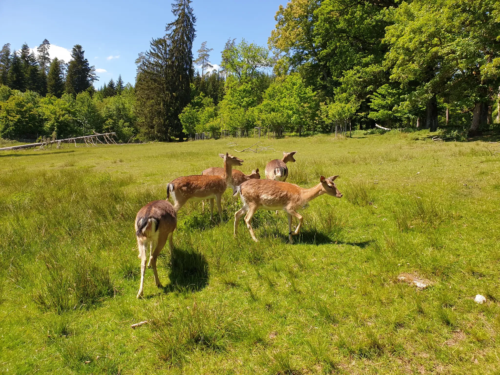
Animals and spectacular landscapes – Black Forest pleasure trails
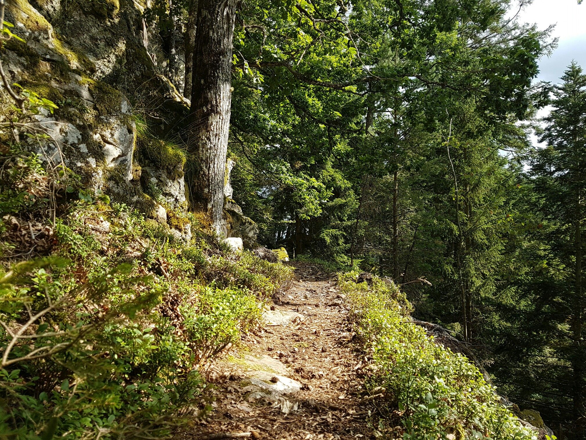
Through gorges on the Black Forest pleasure trails
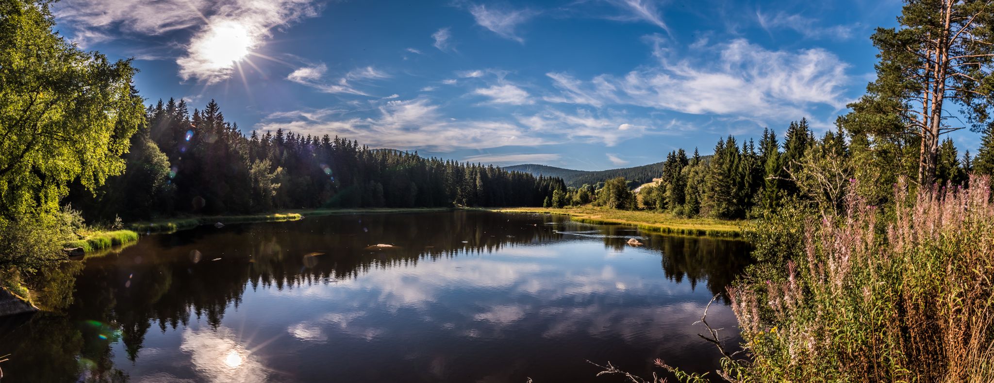
Holidays for the soul — pleasure trails in the Black Forest
Other adventures around Blumberg


Tips from the Community

Drinking fountain / drinking water directly at the train station.
0
0

A peaceful viewpoint over the Kirnbergsee from roadside. The lake is visible from the route as you roll through the open Baar landscape on the way to Donaueschingen.
0
0

you just have to stop to enjoy the view
0
0

Great barbecue hut, the ideal place for a break.
0
0

The Wutach Valley Railway is a 61.7-kilometer-long, standard-gauge, single-track railway line. It connects Lauchringen station, on the High Rhine Railway, with the Hintschingen junction near Immendingen, where it joins the Black Forest Railway. The winding route of the middle section, and especially the reversing tunnel in the Stockhalde, gave it its nickname, the Sauschwänzle Railway. The line was built for strategic military reasons and opened in 1890. Because the standard railway line partially runs through Switzerland, the plan was to bypass it. Because the geography of the Wutach Valley in the middle section, from Weizen to Blumberg, resulted in an elevation difference of over 230 meters, the line had to be artificially extended. At just 9.6 km as the crow flies, the railway line is 25 kilometers long. This artificial extension was achieved with several bridges, a circular reversing tunnel, and a double loop. The circular tunnel is the only structure of its kind in Germany. With a gradient of only 10 ‰, heavy (military) trains could be transported without additional traction. Since this artificial extension of the line also increased ticket prices and travel times, passenger traffic was insignificant and was discontinued on the central section in 1967. Today, the central section is used for heritage traffic, usually with steam locomotives.
3
0
The Wutach Valley Railway is a 61.7-kilometer-long, standard-gauge, single-track railway line. It connects Lauchringen station, on the High Rhine Railway, with the Hintschingen junction near Immendingen, where it joins the Black Forest Railway. The winding route of the middle section, and especially the reversing tunnel in the Stockhalde, gave it its nickname, the Sauschwänzle Railway. The line was built for strategic reasons for the military and opened in 1890. Because the standard railway line partially runs through Switzerland, the aim was to bypass it. Because the geography of the Wutach Valley in the middle section, from Weizen to Blumberg, resulted in an elevation difference of over 230 meters, the line had to be artificially extended. At just 9.6 km as the crow flies, the railway line is 25 kilometers long. This artificial extension was achieved with several bridges, a circular reversing tunnel, and a double loop. The circular reversing tunnel is the only structure of its kind in all of Germany. With a gradient of only 10 ‰, heavy (military) trains could be transported without additional traction. Since this artificial extension of the line also increased ticket prices and travel times, passenger service was insignificant and was discontinued on the central section in 1967. Today, the central section is used for heritage services, usually with steam locomotives.
3
0

very nice cycle path most of the time in the shade of the trees, some benches suitable for rest and education
0
0

This view never ceases to amaze me. Today I saw something "hidden"... a bridge for the Sauschwänzlebahn...
0
0
Frequently Asked Questions
How many mountain bike trails are available in Blumberg?
Blumberg offers a wide selection of mountain bike trails, with nearly 100 routes available. These range from easy paths to more challenging rides, catering to various skill levels.
What is the general terrain like for mountain biking in Blumberg?
The terrain in Blumberg is characterized by an undulating landscape with significant elevation changes, including hills and higher peaks like Hagen, which reaches over 3,000 feet. You'll find varied landscapes, including valleys and scenic viewpoints, ideal for diverse mountain biking experiences.
Are there any easy mountain bike trails suitable for beginners in Blumberg?
Yes, Blumberg has several easy mountain bike trails. For instance, the Ostrich Farm With Farm Shop – Blue Stone loop from Blumberg is an easy 13.0-mile (20.9 km) trail that takes about 1 hour 39 minutes to complete, leading through varied rural landscapes.
Which mountain bike trails offer the best views in Blumberg?
For expansive views, consider the View of the Wutach Valley – Hagenturm Observation Tower loop from Blumberg-Zollhaus. This moderate 26.5-mile (42.6 km) trail provides stunning vistas of the Wutach Valley and includes the Hagenturm Observation Tower. Another great option is the View of Tengen – Spitzhütte Viewpoint loop from Blumberg, which offers scenic views of Tengen and passes by the Spitzhütte Viewpoint.
Are there mountain bike trails in Blumberg that are suitable for e-bikes?
Yes, Blumberg is accommodating for e-bike users. According to regional research, 6 of the trails in the area allow e-bikes, providing options for those who prefer electric assistance.
What kind of landmarks or attractions can I see along the mountain bike trails in Blumberg?
While mountain biking, you can explore various natural and historical landmarks. Nearby attractions include several lakes such as Höwenegg Crater Lake and Enge Pond. You might also encounter interesting caves like Kesslerloch Cave, and even the Tannegger Waterfall.
What do other mountain bikers enjoy most about the trails in Blumberg?
The mountain bike trails in Blumberg are highly rated by the komoot community, with an average score of 4.5 stars from over 200 reviews. Riders often praise the undulating terrain, scenic viewpoints, and varied landscapes, including the Wutach Gorge, which offer diverse experiences for different ability levels.
Are there any longer mountain bike routes for experienced riders?
For experienced riders looking for a longer challenge, the Kirnberg Lake – Lake Kirnberg loop from Blumberg-Zollhaus is a moderate 33.1-mile (53.2 km) route. Another option is the View of the Wutach Valley – Hagenturm Observation Tower loop from Blumberg-Zollhaus, which is 26.5 miles (42.6 km) long with significant elevation gain.
Are there circular mountain bike routes available in Blumberg?
Yes, many of the mountain bike routes in Blumberg are circular, offering convenient starting and ending points. Examples include the View of Tengen – Spitzhütte Viewpoint loop from Blumberg and the View of Wartenberg – The Young Danube loop from Blumberg-Zollhaus.
What is the best time of year to go mountain biking in Blumberg?
While specific seasonal data isn't provided, mountain biking in regions with varied terrain like Blumberg is generally best enjoyed during spring, summer, and autumn when the weather is milder and trails are typically dry. Winter conditions might introduce snow or ice, making some trails more challenging or inaccessible.
Are there any mountain bike trails that pass by lakes in Blumberg?
Yes, you can find routes that take you near beautiful lakes. The Kirnberg Lake – Lake Kirnberg loop from Blumberg-Zollhaus is a prime example, offering a route that circles Kirnberg Lake.
What is the most challenging mountain bike trail in terms of elevation gain?
Based on regional research, the Sauschwänzle-Weg 1 trail features the most elevation gain at 134 feet, indicating a more challenging climb for riders seeking a workout.
Most popular attractions around Blumberg

Get inspired with the komoot mobile app


Explore more
Browse the best MTB trails in other regions.
