The best hikes from bus stations in Landkreis Aschaffenburg
4.6
(25163)
94,173
hikers
2,252
hikes
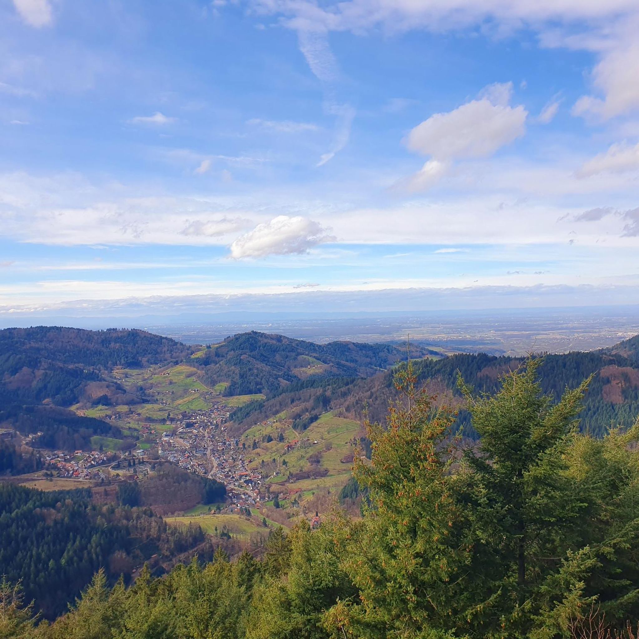
Hiking in Landkreis Aschaffenburg offers diverse landscapes, primarily defined by the dense forests and rolling hills of the Bavarian Spessart Nature Park. The region also features picturesque vineyards and river landscapes along the Main River in its northern parts. Hikers can explore a network of trails that traverse valleys, ancient woodlands, and open meadows, providing varied terrain for all skill levels.
Best bus station hiking trails in Landkreis Aschaffenburg
- The most popular bus station hiking route is Cultural trail "Wirtschaftsstandort…
Last updated: September 30, 2026
4.7
(42)
151
hikers
8.91km
02:26
140m
130m
Moderate hike. Good fitness required. Easily-accessible paths. Suitable for all skill levels.
4.6
(198)
708
hikers
12.9km
03:38
270m
260m
Moderate hike. Good fitness required. Easily-accessible paths. Suitable for all skill levels.

4.6
(168)
534
hikers
11.6km
03:33
330m
330m
Hard hike. Good fitness required. Sure-footedness, sturdy shoes and alpine experience required.
4.5
(171)
578
hikers
6.66km
01:54
150m
150m
Easy hike. Great for any fitness level. Easily-accessible paths. Suitable for all skill levels.
4.6
(147)
466
hikers
Moderate hike. Good fitness required. Easily-accessible paths. Suitable for all skill levels.
Get access to more routes and recommendations from other explorers.
Already have an account?
Our route recommendations are based on thousands of hikes, rides, and runs completed by other people on komoot.
Start today with a free account
Your next adventure awaits.
Popular around Landkreis Aschaffenburg
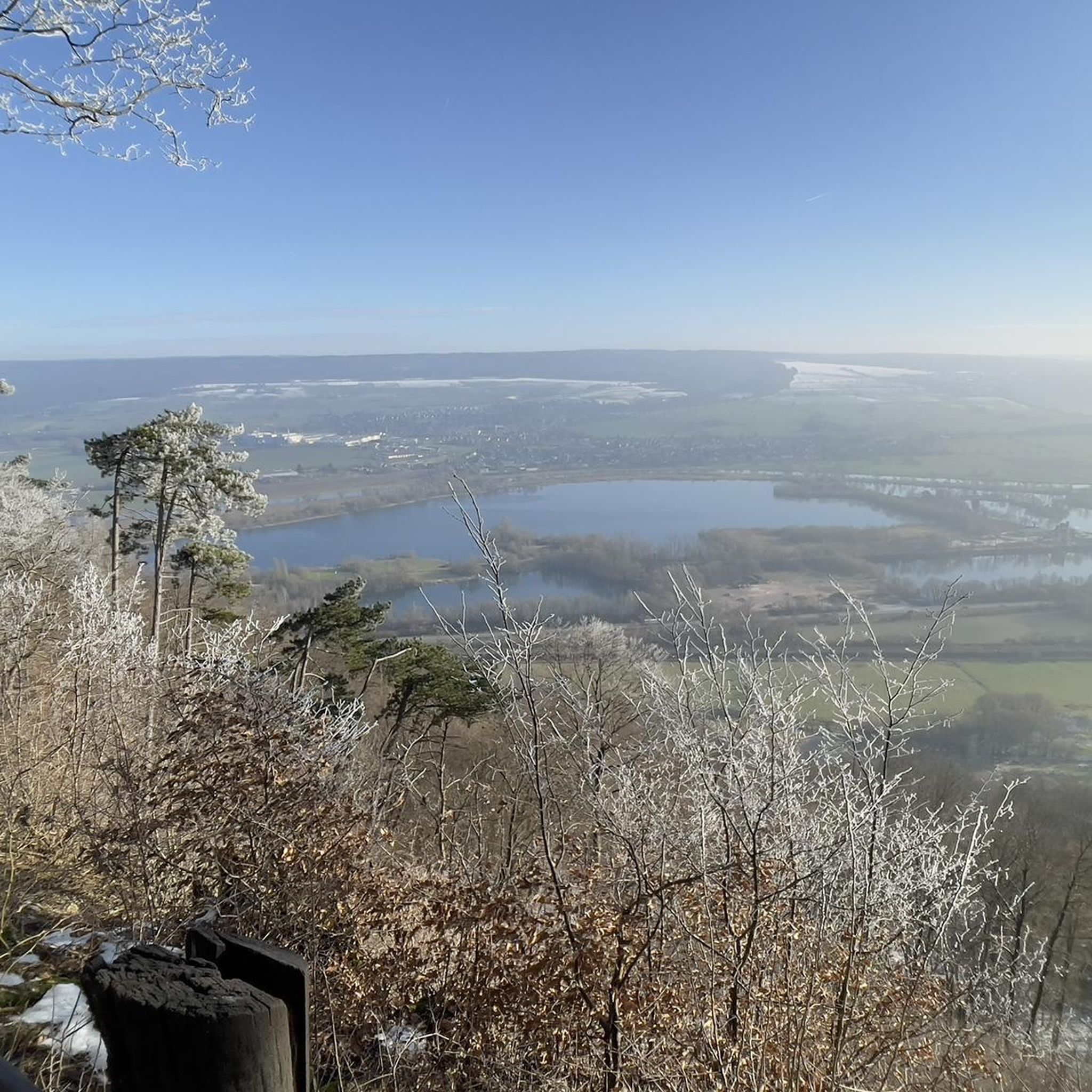
Hikes from bus stations around Alzenau
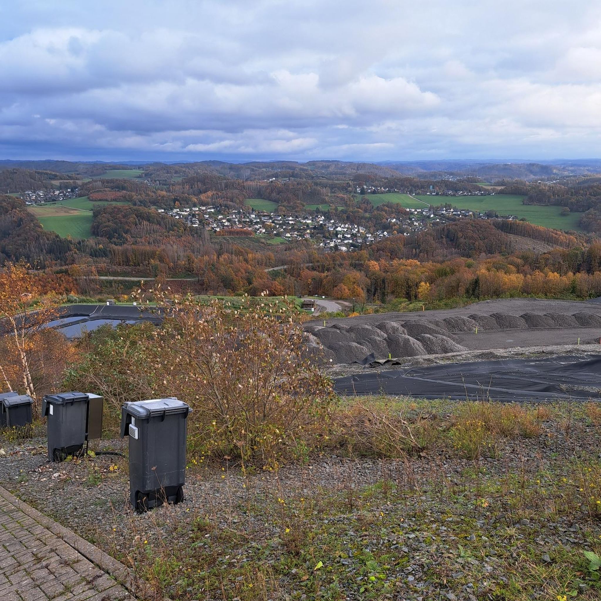
Hikes from bus stations in Rohrbunner Forst
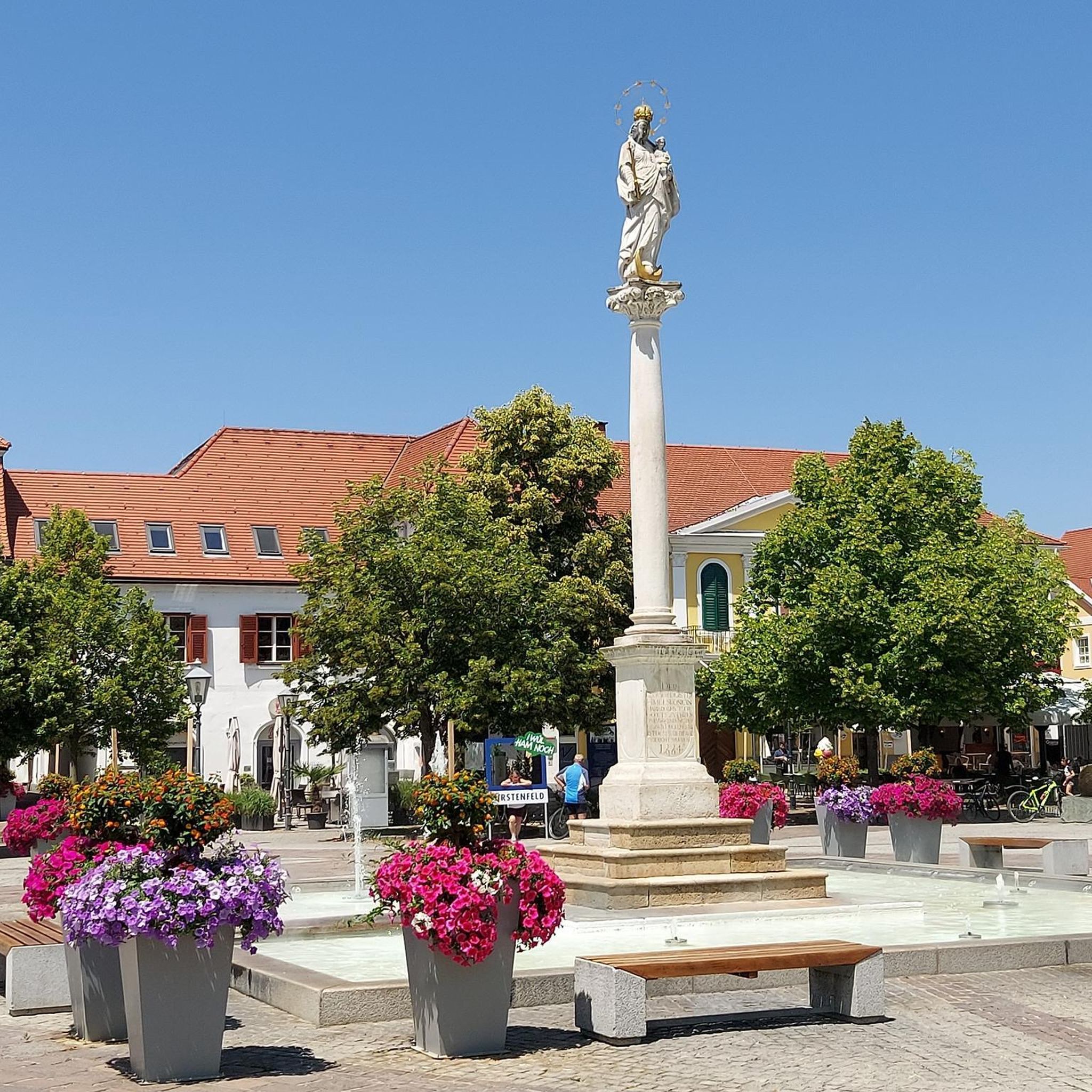
Hikes from bus stations in Ehemaliger Standortübungsplatz Aschaffenburg Und Altenbachgrund
Hikes from bus stations in Hösbacher Wald
Hikes from bus stations around Sailaufer Forst
Hikes from bus stations around Sailauf

Hikes from bus stations around Forst Hain im Spessart

Hikes from bus stations in Rothenbucher Forst

Hikes from bus stations around Heigenbrücken

Hikes from bus stations around Bessenbach
Other adventures in Landkreis Aschaffenburg


Tips from the Community

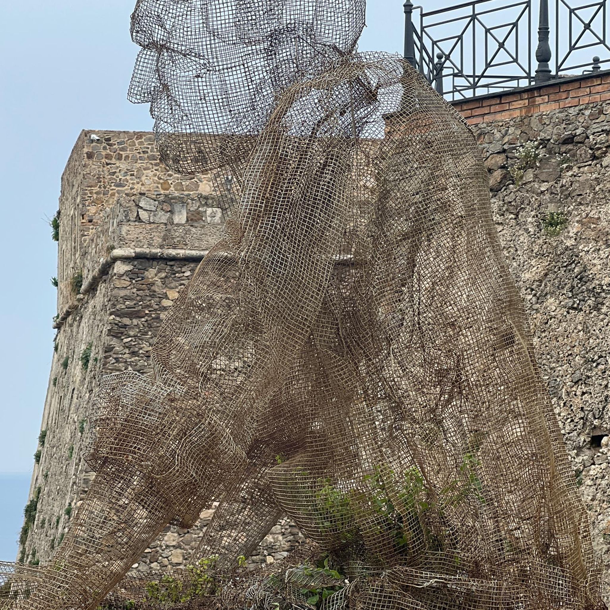
A large wooden sculpture has been installed at the invitingly beautiful rest area at Fleckensteinshöhe. On the Easter Islands, there are such stone "Moai figures". Here in the Spessart, just a wood carving, masterfully done.
2
0

On the trail behind the castle
0
0
Directly at the access to the water castle at the Marstall
0
0

It is and will remain closed to cyclists, even if some don't want to accept it.
1
0
It's quite pleasant here.
1
0

A lovely, natural hiking trail next to a gravel road.
8
0
A short break with support from on high.
5
0

You can walk to the lower parking lot from here.
0
0
Frequently Asked Questions
How many bus station hiking trails are available in Landkreis Aschaffenburg?
Landkreis Aschaffenburg offers a vast network of hiking trails accessible by bus. You can explore over 2,200 routes that start conveniently from bus stations, providing diverse options for all skill levels.
What kind of terrain can I expect on bus-accessible hikes in Landkreis Aschaffenburg?
The region offers a diverse landscape. Many trails wind through the dense forests and rolling hills of the Bavarian Spessart Nature Park, known for its ancient oak and beech trees. In the north, you'll find picturesque vineyards and river landscapes along the Main River. Expect a mix of forest paths, valley trails, and some routes with moderate elevation changes.
Are there easy bus-accessible hikes suitable for beginners or families?
Yes, there are over 1,200 easy routes accessible by bus. An excellent option for families is the Mespelbrunn Castle – The Beaver loop from Mespelbrunn, which is an easy 6.6 km hike. The region also features cultural trails like the "Großostheim Nature Trail" which are designed to be family-friendly.
Can I find challenging hikes that are accessible by public transport?
Absolutely. For those seeking a more strenuous experience, there are nearly 70 difficult routes available. A challenging option is the View of Hahnenkamm Lake – Ludwig Tower (Hahnenkamm) loop from Michelbach, which covers 11.5 km with significant elevation changes, offering rewarding views.
What natural features or landmarks can I see along these bus-accessible trails?
Many trails lead to or pass by significant natural and historical landmarks. You might encounter the dramatic Rückersbach Gorge, enjoy panoramic views from the Ludwig Tower (Hahnenkamm) or the Ludwig-Keller Observation Tower on Geishöhe. The picturesque Mespelbrunn Castle is also a popular attraction accessible via hiking routes.
Are there any cultural or themed hiking trails accessible by bus?
Yes, Landkreis Aschaffenburg is rich in cultural trails. The region offers numerous themed routes, often developed by the Archaeological Spessart Project, providing insights into local history, geology, and biology. An example is the Cultural trail "Wirtschaftsstandort Wiesen" - Spessart Nature Park, which explores the economic history of Wiesen.
What is the best time of year to hike from bus stations in Landkreis Aschaffenburg?
The best times for hiking in Landkreis Aschaffenburg are generally spring, when nature is in full bloom, and autumn, when the foliage displays vibrant colors. These seasons offer pleasant temperatures and beautiful scenery for exploring the trails.
Are there circular routes available from bus stops?
Yes, many of the bus-accessible routes are circular, allowing you to start and end your hike at the same bus station without needing to arrange return transport. For example, the Old School Path to Geishöhe loop from Dammbach is a moderate circular route.
What do other hikers enjoy most about hiking in Landkreis Aschaffenburg?
The komoot community highly rates the hiking experience in Landkreis Aschaffenburg, with an average score of 4.6 stars from over 21,000 ratings. Reviewers often praise the region's diverse landscapes, well-maintained trails, and the convenience of accessing beautiful natural areas directly from public transport stops.
Can I find routes that offer good viewpoints?
Absolutely. The region is known for its scenic vistas. The Hahnenkamm and Geishöhe are prominent viewpoints, offering panoramic views over the Rhine-Main plain and deep into the Spessart. Many bus-accessible trails incorporate these elevated spots.
Are there any routes that pass by historical castles?
Yes, the region is home to several historical castles. The most famous is Mespelbrunn Castle, a picturesque moated castle that is a popular destination for hikers. You can also find routes near Alzenau Castle and enjoy views of Johannisburg Castle from certain trails.
Most popular routes in Landkreis Aschaffenburg
Most popular attractions in Landkreis Aschaffenburg

Get inspired with the komoot mobile app


Didn’t find what you were looking for?
Check out more Hikes throughout Landkreis Aschaffenburg below and find the perfect route in your destination.
Explore more
Browse the best Hikes in other regions.
