The best traffic-free bike rides in the Weser Uplands
4.7
(295)
1,683
riders
328
rides
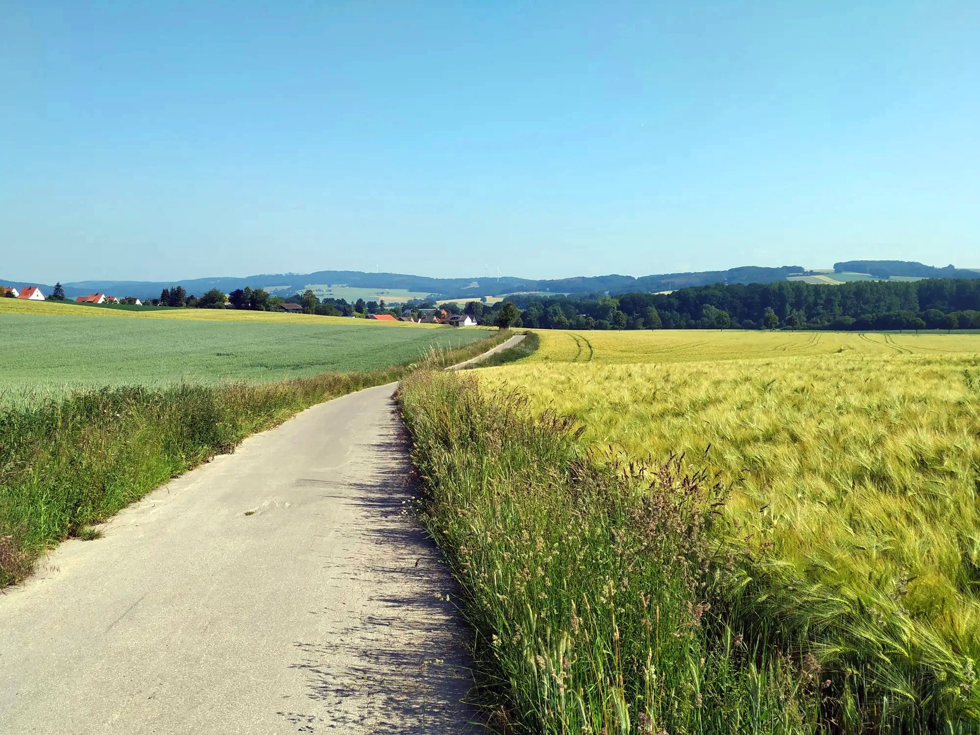
Gravel biking in the Weser Uplands offers a diverse landscape of wooded, rolling hills, vast forests, and small valleys with numerous streams and rivers. The region, shaped by the River Weser, features varied terrain suitable for adventurous cycling, including unpaved segments of the Weser Cycle Way. Peaks reach up to 440 meters, providing elevated viewpoints across the scenic beauty of Lower Saxony. This area is characterized by its natural features, including the Weser Uplands Nature Park and the Solling, Germany's…
Last updated: May 14, 2026
5.0
(6)
72
riders
60.4km
03:52
730m
730m
Hard gravel ride. Very good fitness required. Mostly paved surfaces. Suitable for all skill levels.
5.0
(2)
28
riders
Hard gravel ride. Very good fitness required. You may need to push your bike for some segments of this route.

Sign up for free
5.0
(2)
24
riders
43.7km
03:03
450m
450m
Hard gravel ride. Very good fitness required. Mostly paved surfaces. Suitable for all skill levels.
7
riders
Hard gravel ride. Very good fitness required. Mostly paved surfaces. Suitable for all skill levels.
3
riders
43.8km
03:08
910m
910m
Hard gravel ride. Very good fitness required. You may need to push your bike for some segments of this route.
Get access to more routes and recommendations from other explorers.
Sign up for free
Already have an account?
Our route recommendations are based on thousands of hikes, rides, and runs completed by other people on komoot.
Start today with a free account
Your next adventure awaits.
Login or Signup
Popular around Weser Uplands
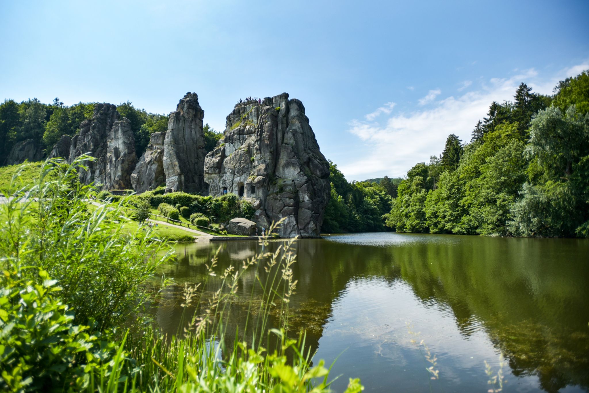
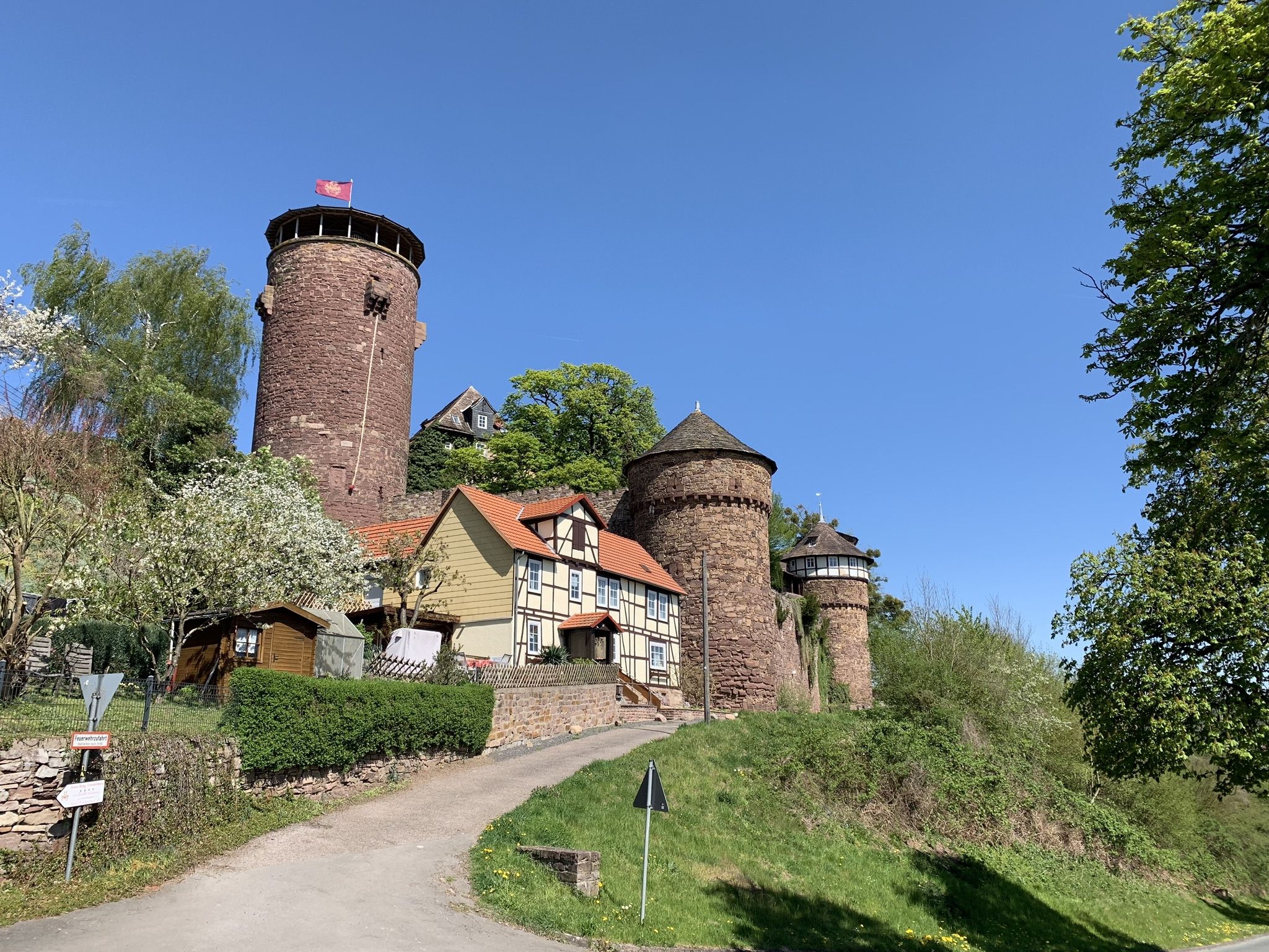
Hiking Germany's Hermannsweg – In the footsteps of the Cheruscan
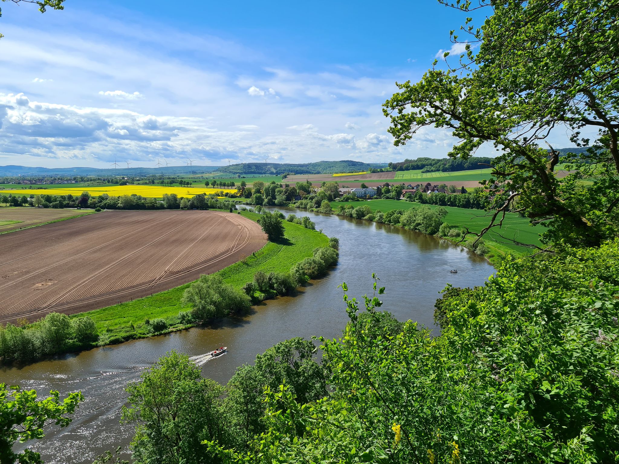
Loccum-Volkenroda pilgrim's way – From monastery to monastery

11 Hessen trails – criss-cross through the countryside
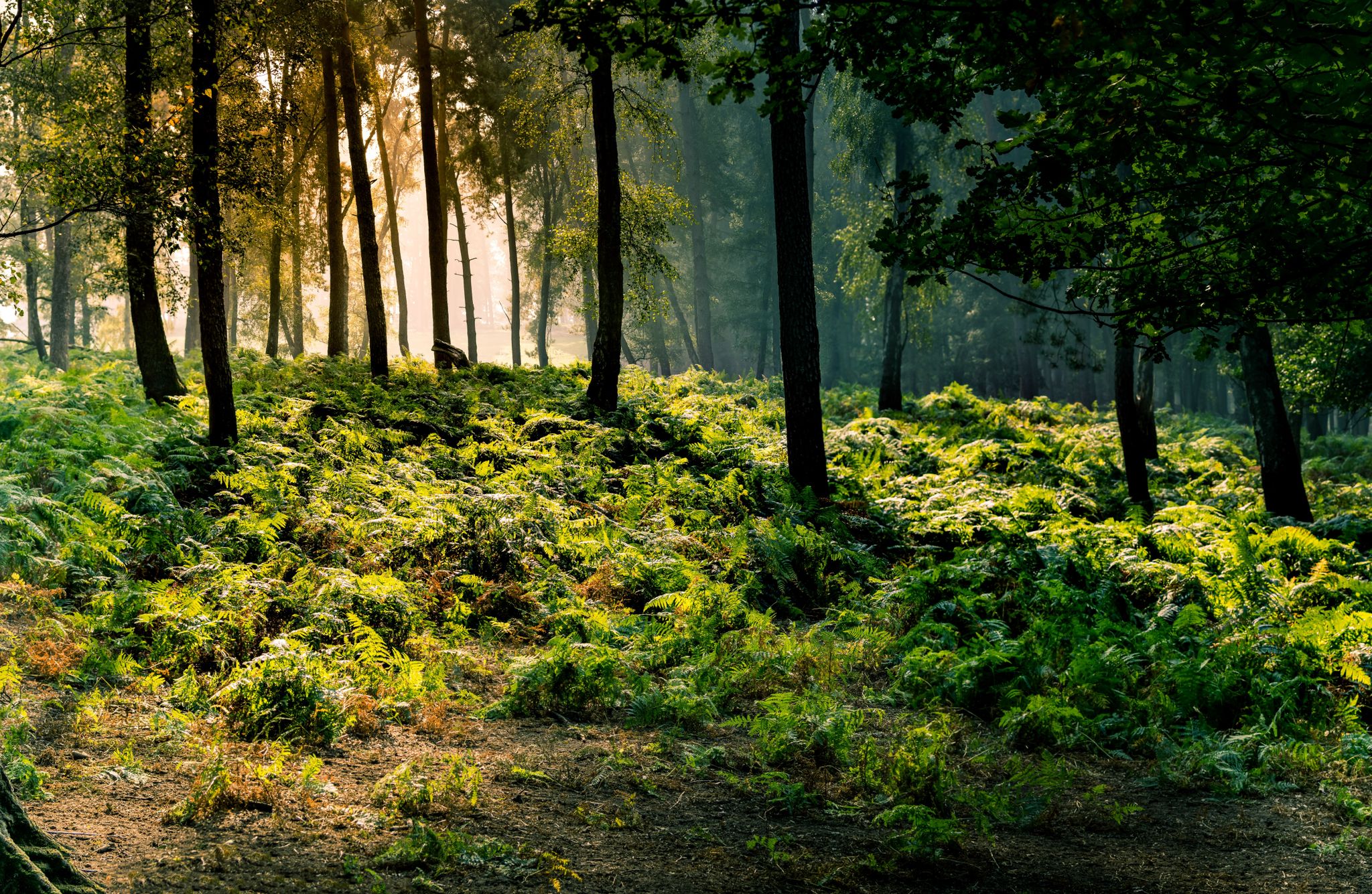
Frau Holle Trail – Nature and fairytales, eight stages
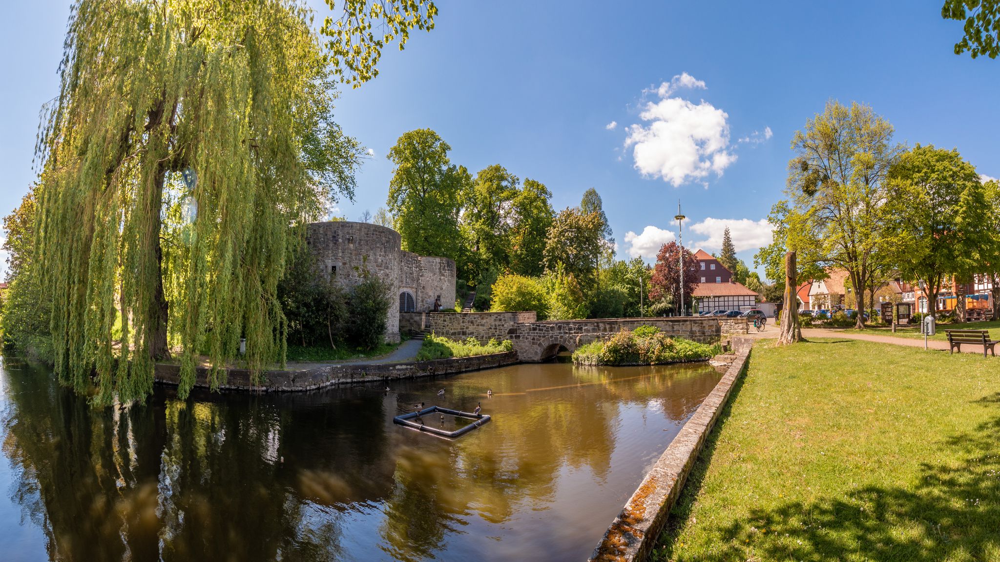
Berlin-Hameln Cycle Route – From West to East
Hike the Fairy Tale Route – Enchanting days in Germany
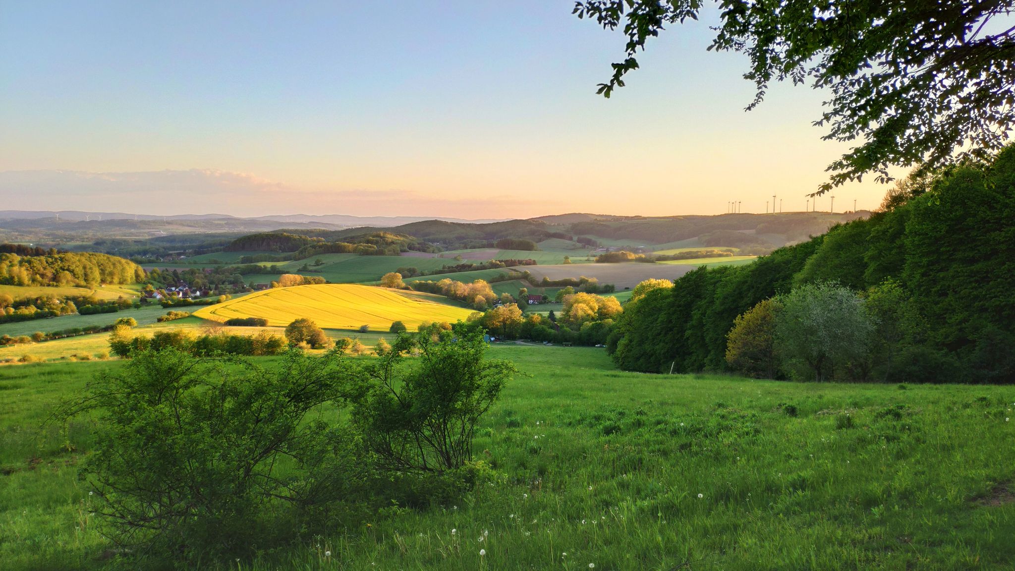
Hansa Trail in 6 stages – Hills and fun in Germany's Lipper Bergland
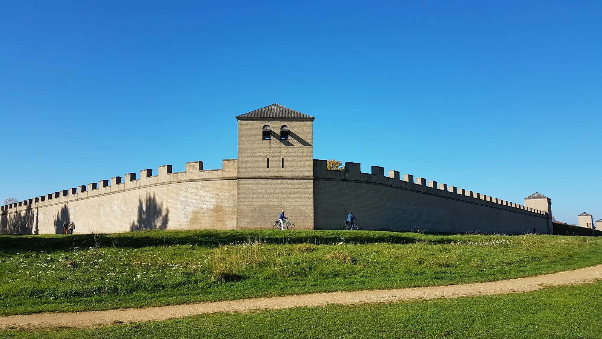
Römer‑Lippe Route – Water and history – 6 days
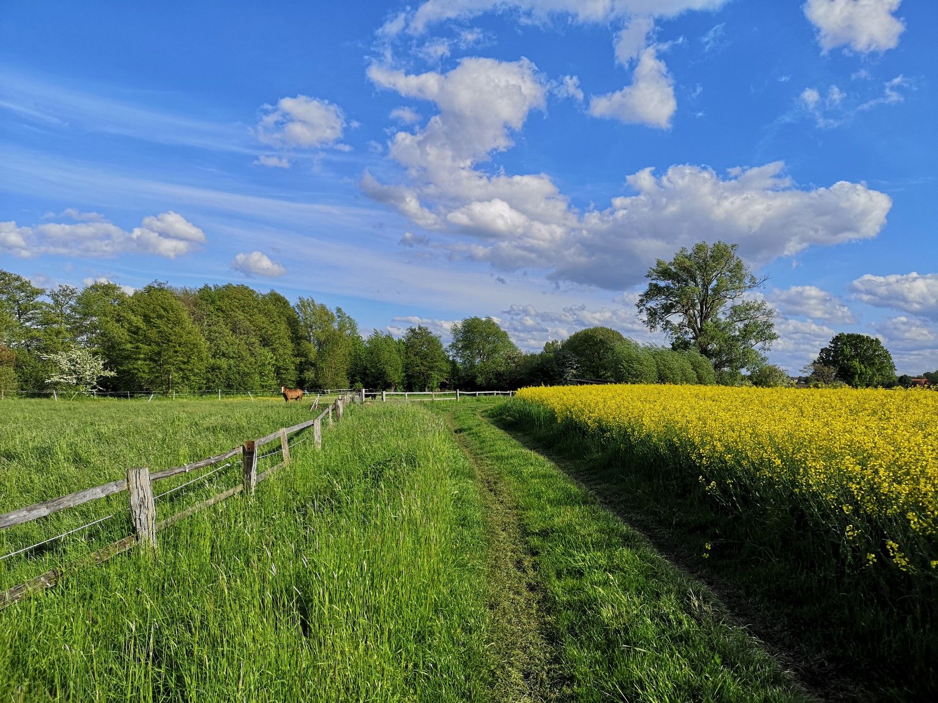
Hiking on Germany's Bückeberg Trail – Gentle hills and green forests
Hellweg-Weser railway cycle route – Ride through western Germany
Other adventures in the Weser Uplands


Tips from the Community

The Süntel Tower is temporarily closed. It may reopen on April 1st, 2026.
1
0

The Hohenstein in the Süntel hills is a striking rock formation and one of the most popular viewpoints in the Weser Uplands. From the approximately 340-meter-high cliff, there is a sweeping view across the Weser Valley and the surrounding hills. The Hohenstein's rocks are made of sandstone and drop steeply southward into the valley. From the natural viewpoints, especially the so-called "pulpit," the course of the Weser River, which meanders through the landscape in wide bends, is clearly visible. The area is part of the Süntel Nature Reserve and provides habitat for numerous animal and plant species.
1
0

...the forester's house has had a beautiful new look since 2025.
0
0

Entrance to the Upper Lempe Valley. The trail continues gently uphill with poor terrain. Coarse gravel.
0
0

The Teufelskanzel (Devil's Pulpit) is a striking vantage point in the Weser Mountains near Hessisch Oldendorf, about 16 kilometers northwest of Rinteln. It is located on the Hohenstein, a wooded plateau at an altitude of approximately 340 meters, and offers impressive views over the Weser Valley and the surrounding Weser Uplands. The Teufelskanzel rock formation is part of the Hohenstein cliffs, which are up to 40 meters high and also include the "Green Altar" and the "Hirschsprung" (Deer Leap). These cliffs drop steeply to the Weser River and are accessible via well-marked hiking trails. The ascent involves some steep steps and requires surefootedness. Once at the top, the view rewards the effort with a magnificent panorama. The region around the Teufelskanzel is rich in myths and legends. It is said that the devil once preached here, which gave the rock formation its name. Other points of interest are nearby, such as the "Green Altar," which is considered a historically significant site and may have once served as a sacrificial site. For hikers, there's a circular route that leads from Zersen through the Blutbach Valley up to Hohenstein. The route is approximately eight kilometers long and leads through diverse landscapes with deciduous forests and open rocks. There are several rest stops along the way, including the Baxmannbaude hut, which is a great place to stop for a break.
0
0

A beautiful spot in the Kleiner Deister region, perfect for a rest. In summer, the site is shaded not only by the large hut, but also by the chestnut trees with their leafy crowns.
0
0

Nice route, just drive in the middle without danger on a federal highway
0
0

You can take a great break! (Shelter available)
0
0
Frequently Asked Questions
How many traffic-free gravel bike trails are available in the Weser Uplands?
There are over 300 traffic-free gravel bike trails in the Weser Uplands, offering a wide range of options for all skill levels. You'll find everything from moderate rides to more challenging routes through the region's diverse landscapes.
What kind of terrain can I expect on gravel bike trails in the Weser Uplands?
The Weser Uplands offer a varied landscape perfect for gravel biking. You can expect a mix of wooded, rolling hills, small valleys with numerous streams and rivers, and segments of unpaved trails, especially where they diverge from the main Weser Cycle Way. The region features gentle hills with meadows and forests, providing both scenic beauty and engaging terrain.
What do other gravel bikers enjoy most about the trails in the Weser Uplands?
The komoot community highly rates the gravel biking experience in the Weser Uplands, with an average score of 4.7 stars. Reviewers often praise the region's quiet, traffic-free paths, the diverse natural beauty, and the well-maintained trails that lead through forests and past historical sites.
Are there any circular gravel bike routes in the Weser Uplands?
Yes, many of the gravel bike routes in the Weser Uplands are designed as circular tours, allowing you to start and end at the same point. An example is the challenging Wedding Forest – Old Radar Station Viewpoint loop from Hombressen, which offers a great round trip experience.
What are some natural landmarks or viewpoints I can discover along the routes?
The Weser Uplands are rich in natural beauty and offer several notable landmarks. You might encounter spectacular views from areas like the Hohenstein on the Süntel. For specific natural monuments, consider exploring highlights such as the iconic Externsteine or the View of the Externsteine from the north shore of the Upper Pond. The region's highest peaks reach up to 440 meters, providing plenty of opportunities for panoramic vistas.
Are there any family-friendly gravel bike trails in the Weser Uplands?
While many routes in this guide are rated as 'difficult' due to elevation and distance, the Weser Uplands also offer segments suitable for families. Look for trails with less elevation gain and shorter distances. The region's varied landscape means you can often find gentler paths, especially along river valleys, though specific family-friendly gravel routes may require careful planning.
Can I bring my dog on the gravel bike trails?
Generally, dogs are welcome on trails in the Weser Uplands, especially in natural areas. However, it's always best to keep them on a leash, particularly in nature reserves like the Hohenstein or Saubrink/Oberberg Forest, and to be mindful of wildlife and other trail users. Always check local regulations for specific areas.
Are there challenging traffic-free gravel routes for experienced riders?
Absolutely. The Weser Uplands offer numerous challenging routes for experienced gravel bikers. Many of the trails feature significant elevation gains and longer distances. For instance, the Coppenbrügge Castle – St. Nicolai Market Church, Hameln loop from Bad Münder (Deister) covers over 76 km with more than 900 meters of elevation, providing a demanding ride.
What is the best time of year for gravel biking in the Weser Uplands?
Spring and autumn are generally ideal for gravel biking in the Weser Uplands. The weather is usually milder, and the natural scenery, with blooming flowers or vibrant fall foliage, is particularly beautiful. Summer can also be pleasant, but be prepared for warmer temperatures, especially on exposed sections. Winter rides are possible but may be affected by snow or ice on higher elevations and unpaved paths.
Are there historical sites or cultural attractions near the gravel trails?
The Weser Uplands are rich in history and culture. You can find numerous Weser Renaissance buildings, impressive fortresses, and magnificent castles like Hämelschenburg and Corvey. Historic towns such as Hamelin (famous for the Pied Piper) and Rinteln offer charming old town centers. While not directly on a gravel route, the Hermann Monument is a significant cultural landmark in the broader region.
How can I access the gravel trails using public transport?
Public transport access varies across the Weser Uplands. Many towns and villages in the region are connected by local bus services or regional trains, which can provide access points to the trail network. It's advisable to check specific routes and their proximity to train stations or bus stops, and to confirm if bikes are allowed on board, especially during peak times.
Where can I find parking for my gravel bike adventure?
Parking is generally available in the towns and villages that serve as starting points for many routes. Look for designated parking areas near trailheads or in town centers. For example, if you plan to ride the View from Hohenstein – Süntel Tower loop from Schillat-Höhle, you would typically find parking options in or around Schillat-Höhle.
Most popular routes in the Weser Uplands
Most popular attractions in the Weser Uplands

Get inspired with the komoot mobile app


Explore more
Browse the best Gravel rides in other regions.
