The best traffic-free bike rides in Ed R. Levin County Park
4.6
(64)
3,409
riders
6
rides
If you've ever tried to plan road cycling in Ed R. Levin County Park, you know how quickly the sheer number of options can feel overwhelming. It's tough to tell which routes are genuinely worth your time and effort, and which are just filler. That's exactly why we're here. Our komoot community has ridden, mapped, and reviewed countless miles here, so we've done the legwork to bring you a curated shortlist of the best no traffic road cycling routes that…
Last updated: May 30, 2026
10
riders
17.7km
01:06
500m
500m
Moderate road ride. Good fitness required. Mostly well-paved surfaces and easy to ride.
5.0
(2)
111
riders
30.0km
01:43
670m
670m
The Sierra Road and Felter Road loop is a legendary road cycling route near Milpitas, known for its formidable climbs and rewarding vistas. You'll grind up the notorious Sierra Road,…

5.0
(1)
133
riders
60.4km
03:06
940m
940m
Hard road ride. Very good fitness required. Mostly well-paved surfaces and easy to ride.
17
riders
24.4km
01:39
390m
390m
Moderate road ride. Good fitness required. Some segments of this route may be unpaved and difficult to ride.
Get access to more routes and recommendations from other explorers.
Already have an account?
Our route recommendations are based on thousands of hikes, rides, and runs completed by other people on komoot.
Start today with a free account
Your next adventure awaits.
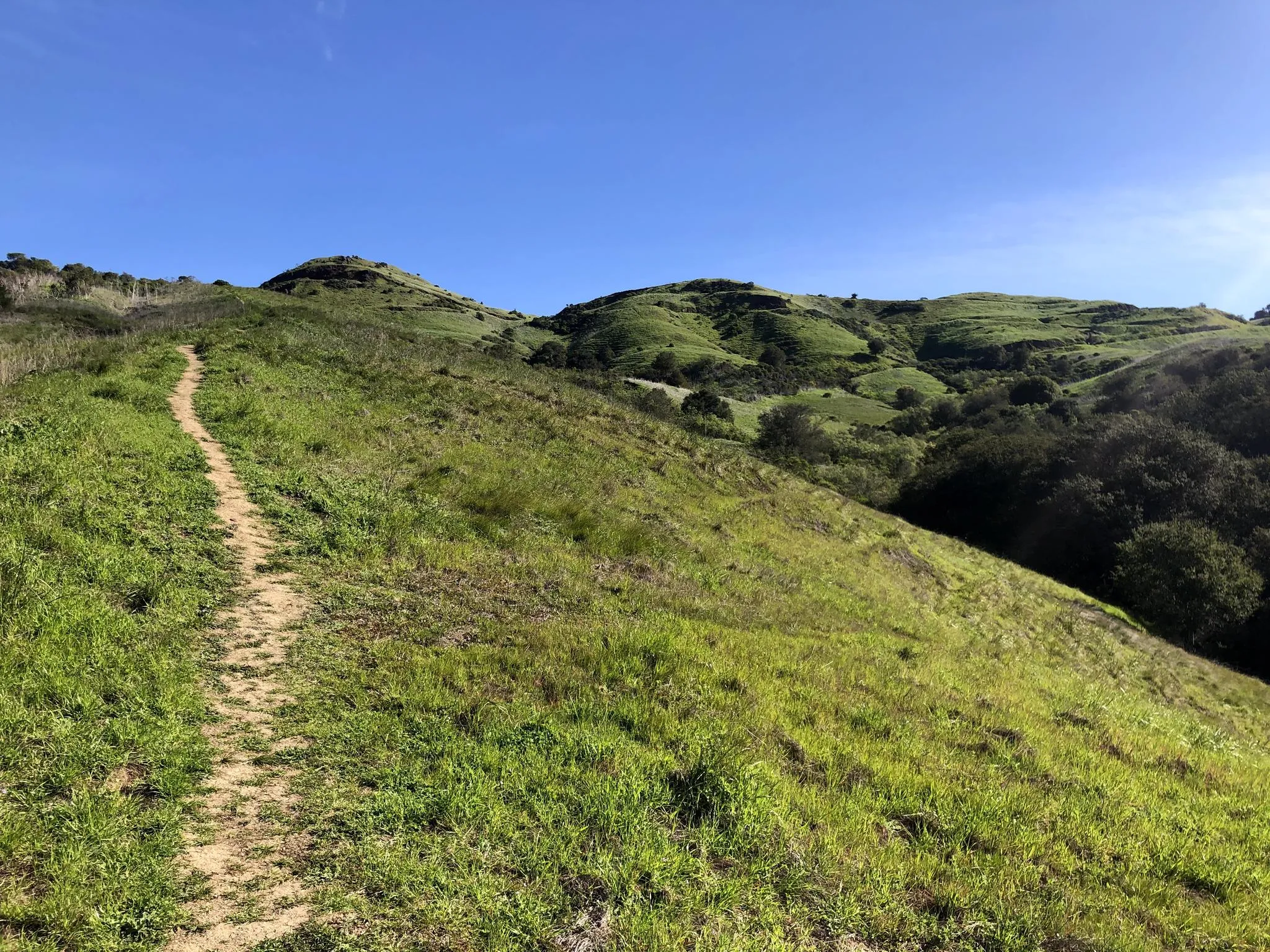
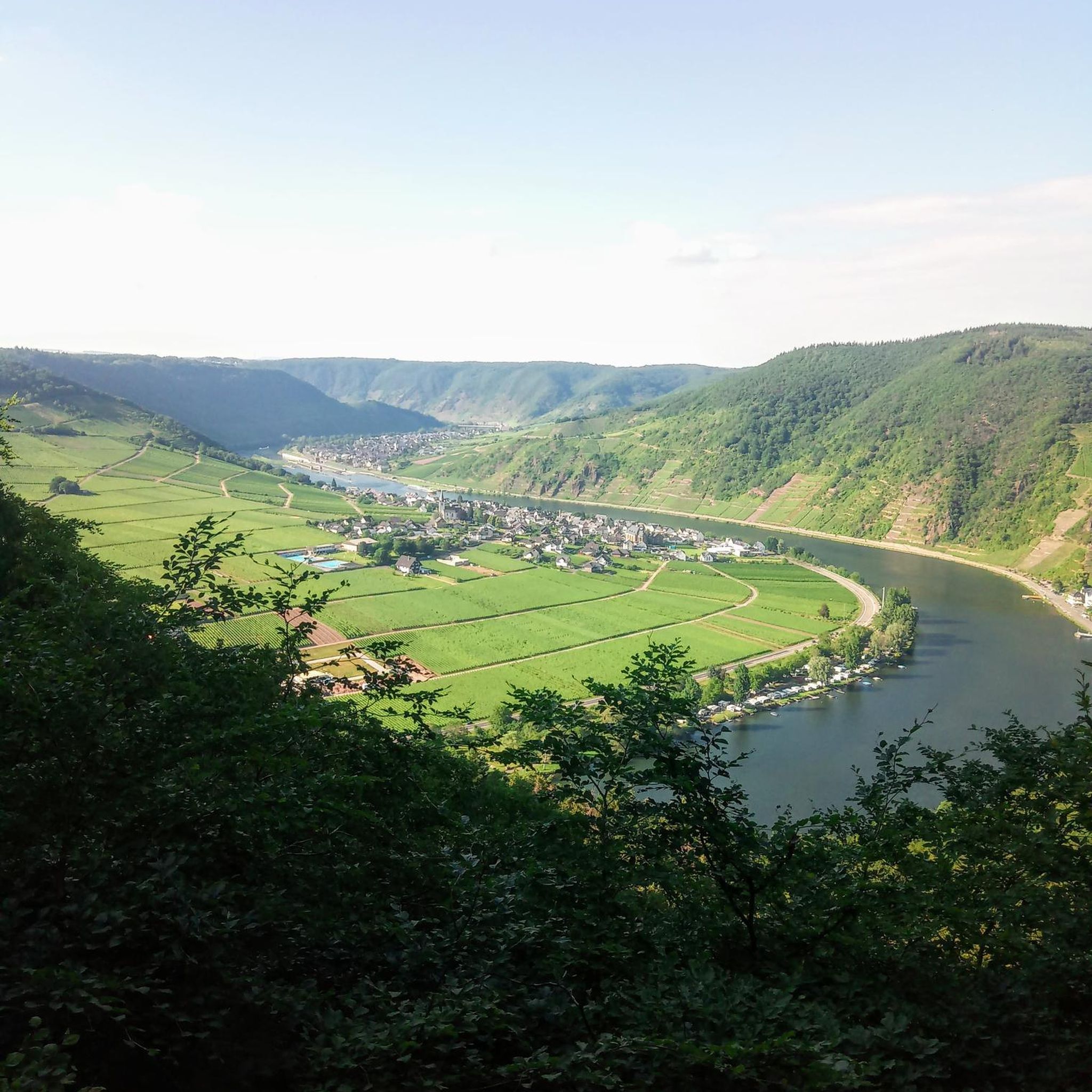
Other adventures in Ed R. Levin County Park

Tips from the Community

About a mile into Santa Clara county, if you know where to look, you might spot a bald eagle. Hopefully, someone with a really good camera will post a photo and tag the location.
0
0

This a very well known bicycle route in Northern California, and there are already great details info about it online, here I just wanted to share some photos on the route.
0
0

Calfateras road begins by a robust climb, and then it changes to a series of switchbacks with spectacular views to the reservoir and surrounding park. The switchbacks alternate between downhill and moderate climbs, before a long downhill and flat terrain.
0
0

Riding south on Felter road from Calaveras after doing Polamares and and Calaveras Roads was a real challenge, especially since it was my first time! Get something to fuel up on at the Sunol Little Store!
0
0

This is a nice stretch of road that follows along the path of Alameda Creek as it cuts through the foothills.
0
0

Alum Rock Park, established in 1872, is one of California's oldest municipal parks, spanning 720 acres. Visitors can enjoy hiking, biking, horseback riding, and family picnicking with amenities like picnic tables, barbecue pits, restrooms, and a playground in the mid-canyon area. The park is wheelchair accessible and open daily from 8 a.m. to half an hour after sunset, a great spot to explore year-round.
0
0

The Penitencia Creek Trail is a four-mile rail trail. The trail follows the Penitencia Creek from Alum Rock Park in San Jose to Coyote Creek. The trail is paved and mostly flat, so it is an easy ride.
0
0
Nice winding, paved road that runs along the perimeter of Calaveras Reservoir. The road passes through rolling hills and gives you great views of the reservoir.
0
0
Frequently Asked Questions
How many no traffic road cycling routes are available in Ed R. Levin County Park?
There are nearly 10 dedicated no traffic road cycling routes in Ed R. Levin County Park, ranging from moderate to difficult. These routes offer diverse landscapes for road cyclists looking for quieter rides.
What is the best time of year to go road cycling in Ed R. Levin County Park?
The best times to visit Ed R. Levin County Park for road cycling are generally winter and spring. During these seasons, the hills are lush and green, and temperatures are more pleasant for riding. Summers can be hot and dry.
Are there any family-friendly no traffic road cycling options in the park?
While many routes in Ed R. Levin County Park involve significant elevation gain, sections of the Agua Caliente Trail and Caleras Creek Trail are open to bicyclists and offer easier, mostly paved paths suitable for various skill levels. These can be good starting points for families, though always check the specific route details for elevation and surface conditions.
What kind of terrain can I expect on the no traffic road cycling routes?
You can expect a mix of rolling grasslands and oak woodlands. While some paths are paved, routes like the Calaveras Road loop traverse the southern part of the park, offering varied terrain. Be prepared for elevation changes, as many routes involve significant climbs.
What are some notable landmarks or viewpoints along the road cycling routes?
Many routes offer scenic views. Monument Peak is accessible via trails and provides spectacular panoramic views of the Silicon Valley floor and the San Francisco Bay. You'll also pass by natural features like Spring Valley Pond and Sandy Wool Lake.
Are there any challenging no traffic road cycling routes for experienced riders?
Yes, for experienced riders seeking a challenge, the park offers routes with significant elevation gain. For example, the Piedmont Ponds – Sunol Depot loop from Milpitas is classified as difficult, covering over 120 km with nearly 1800 meters of ascent.
What do other road cyclists enjoy most about cycling in Ed R. Levin County Park?
The area is highly rated by the komoot community, with an average score of 4.7 stars from 37 reviews. Cyclists often praise the challenging climbs, the rewarding panoramic views from higher elevations, and the feeling of being immersed in nature away from traffic.
Are dogs allowed on the no traffic road cycling routes?
Ed R. Levin County Park is generally dog-friendly, featuring an off-leash dog park. However, specific trail regulations for dogs while cycling can vary. It's best to check park signage or the official park website for the most current rules regarding dogs on cycling-accessible trails.
Is there public transport available to reach Ed R. Levin County Park for cycling?
Yes, public transportation options are available. VTA bus routes serve the Milpitas area, and some lines may have stops near the park entrances. It's advisable to check the VTA website for specific routes and schedules that accommodate bicycles.
Where can I park my car when visiting Ed R. Levin County Park for a road bike ride?
Ed R. Levin County Park offers various parking areas. Depending on your chosen starting point, you can find parking facilities within the park. For routes like the Calaveras Road loop, you might find parking near the Spring Valley Volunteer Fire Department, or other designated park entrances.
Are there any moderate no traffic road cycling routes in the park?
Yes, the majority of the no traffic road cycling routes in Ed R. Levin County Park are classified as moderate. Examples include the Roadbike loop from Milpitas (18.1 km with 500m elevation) and the Sierra Road and Felter Road loop from Milpitas (30 km with 670m elevation).
Most popular routes in Ed R. Levin County Park
Most popular attractions in Ed R. Levin County Park

Get inspired with the komoot mobile app


Explore more
Browse the best Road cycling routes in other regions.
