The best road cycling routes in Ed R. Levin County Park
4.5
(61)
3,372
riders
66
rides
Road cycling in Ed R. Levin County Park offers varied terrain across rolling grasslands and oak woodlands in the Diablo Range foothills. The park features diverse landscapes, from lower elevations with reservoirs like Sandy Wool Lake to higher points such as Monument Peak, providing panoramic views of the valley and San Francisco Bay. The area is characterized by its natural beauty and elevation changes, making it suitable for different road cycling experiences.
Best road cycling routes in Ed R. Levin…
Last updated: October 4, 2026
10
riders
17.7km
01:06
500m
500m
Moderate road ride. Good fitness required. Mostly well-paved surfaces and easy to ride.
13
riders
18.8km
01:15
590m
590m
Moderate road ride. Good fitness required. Mostly well-paved surfaces and easy to ride.

5.0
(2)
111
riders
30.0km
01:43
670m
670m
The Sierra Road and Felter Road loop is a legendary road cycling route near Milpitas, known for its formidable climbs and rewarding vistas. You'll grind up the notorious Sierra Road,…
51
riders
33.1km
02:03
270m
270m
Moderate road ride. Good fitness required. Some segments of this route may be unpaved and difficult to ride.
35
riders
29.5km
02:09
310m
310m
Moderate road ride. Good fitness required. Some segments of this route may be unpaved and difficult to ride.
Get access to more routes and recommendations from other explorers.
Already have an account?
Our route recommendations are based on thousands of hikes, rides, and runs completed by other people on komoot.
Start today with a free account
Your next adventure awaits.

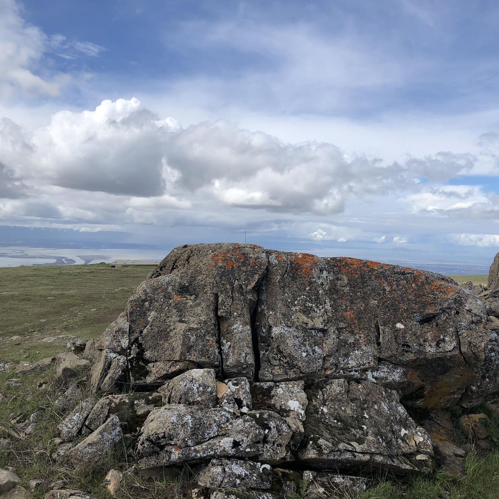
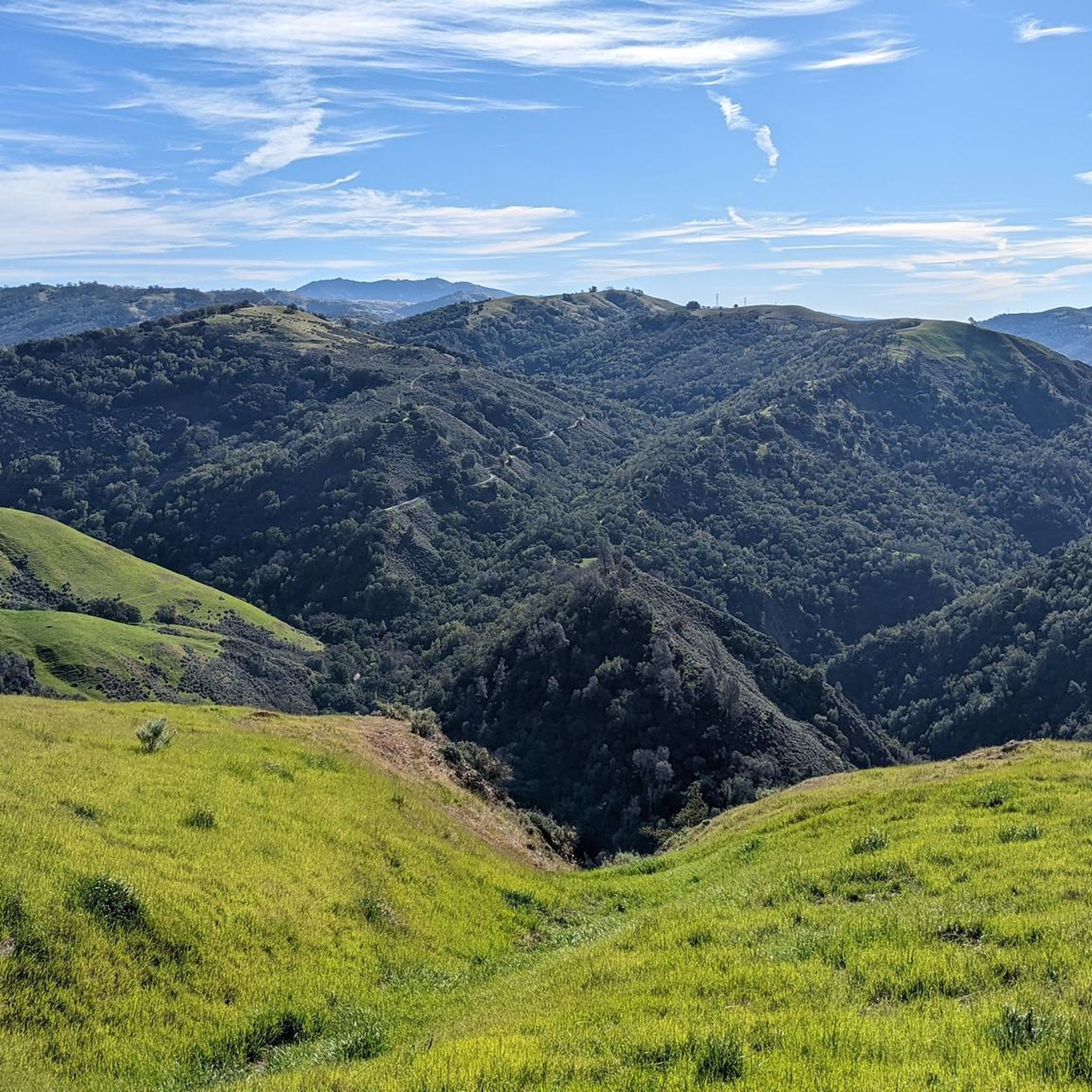
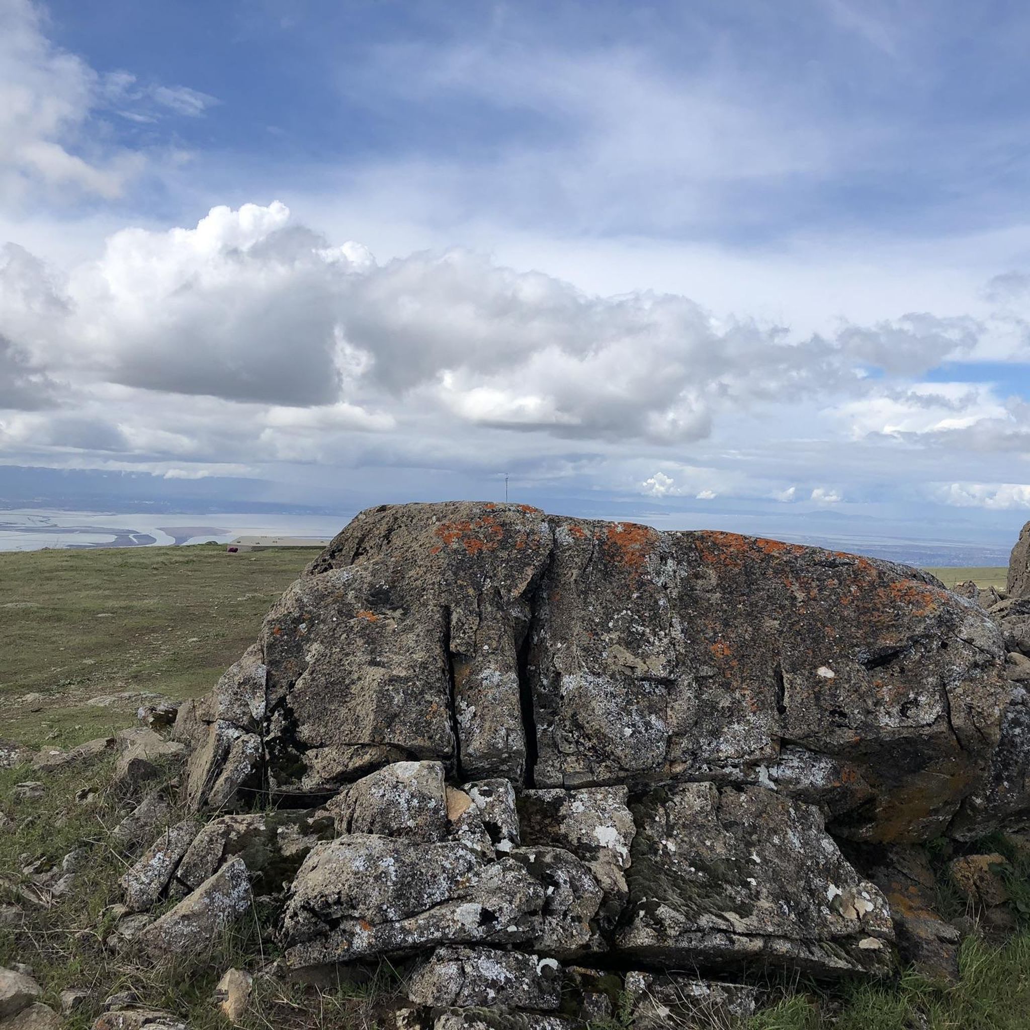
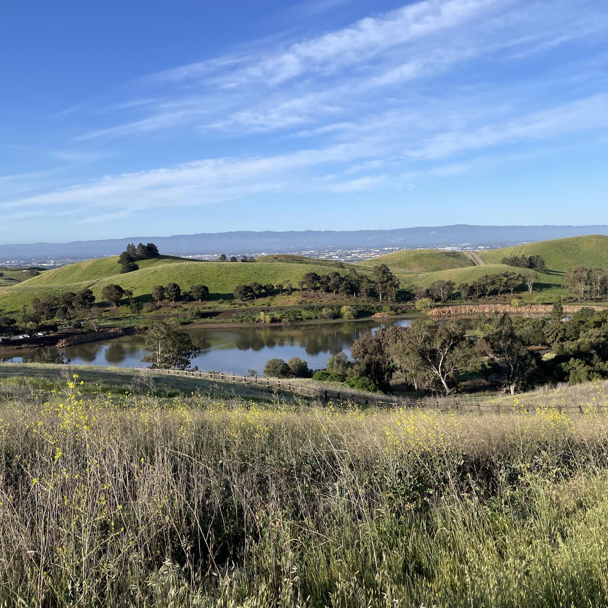
Other adventures in Ed R. Levin County Park

Tips from the Community

This pedestrian bridge was completed in 2002 and offers pedestrians and cyclists away to travel away from traffic.
0
0

Alum Rock Road is a paved, east-west road running through the heart of Alum Rock Park. Stretching about a mile, it features a gentle elevation change of about 100 feet, making it a relatively easy route. The road provides access to various trailheads, picnic areas, and park attractions, including the historic Mineral Springs Grotto.
0
0
Alum Rock Park, established in 1872, is one of California's oldest municipal parks, spanning 720 acres. Visitors can enjoy hiking, biking, horseback riding, and family picnicking with amenities like picnic tables, barbecue pits, restrooms, and a playground in the mid-canyon area. The park is wheelchair accessible and open daily from 8 a.m. to half an hour after sunset, a great spot to explore year-round.
0
0

It's really amazing that this stone bridge is still here. I understand it was originally built to easily get pack horses across the creek — and of course the people with them, too.
0
0
Inspiration Point in Alum Rock Park offers stunning views of San Jose and the Bay and is surrounded by mature native trees and shrubs. Since 2011, volunteers have been working to restore the area by removing invasive species through the "Weed & Walk" group. Shade can be found up here amongst the trees, and there is a wooden fence and wooden benches indicating the arrival of the Inspiration Point viewpoint.
0
0

You can find free parking and restrooms by the side of the creek. From here you have the option of many different hilly but nontechnical trails up to Eagle Rock, Inspiration Point, Boccardo, or along the creek side.
0
0

The Piedmont Ponds on the Penitencia Creek Trail are a collection of small ponds in San José just off this popular multi-use path. This is a nice spot to begin to slow down on your ride to look out for birds and other wildlife by and in the water.
0
0
Upper Penitencia Creek Trail runs through Alum Rock Park and connects to many of the area's trails. The trail itself is an easy gravel ride for beginners and kids, but many of the adjoining trails are more challenging.
0
0
Frequently Asked Questions
How many road cycling routes are available in Ed R. Levin County Park?
Ed R. Levin County Park offers a wide selection of road cycling routes, with over 60 options available. These routes cater to various skill levels, from easy rides to more challenging ascents.
What kind of terrain can I expect when road cycling in Ed R. Levin County Park?
The park features diverse terrain, including rolling grasslands and oak woodlands in the chaparral and grassland foothills of the Diablo Range. You'll encounter varied landscapes, from lower elevations near reservoirs to higher points like Monument Peak, offering significant elevation changes and panoramic views of the valley and San Francisco Bay.
Are there any family-friendly road cycling routes in Ed R. Levin County Park?
Yes, the park has 23 easy road cycling routes, many of which are suitable for families. These routes often feature mostly paved surfaces and less significant elevation gain, providing a pleasant experience for all skill levels. A good example is the Piedmont Ponds – Oleander Along Evans Road loop from Milpitas, which leads through lower elevations near the park's ponds.
What are some scenic viewpoints or natural features I can see along the road cycling routes?
Road cycling in Ed R. Levin County Park offers numerous scenic opportunities. From higher elevations like Monument Peak, you can enjoy spectacular views of the valley floor and the San Francisco Bay. The park also features beautiful natural elements such as Sandy Wool Lake and Spring Valley Pond, both reservoirs collecting runoff from the eastern hills.
Are there challenging road cycling routes for experienced riders?
Absolutely. For experienced riders seeking a challenge, Ed R. Levin County Park offers 9 difficult routes. These routes often involve significant elevation gain and longer distances. An example of a more demanding ride is the Piedmont Ponds – Sunol Depot loop from Milpitas, which covers a substantial distance with considerable climbing.
What do other road cyclists enjoy most about cycling in Ed R. Levin County Park?
The area is highly rated by the komoot community, with an average score of 4.7 stars from over 40 reviews. Road cyclists often praise the park's varied terrain, from rolling hills and oak woodlands to panoramic viewpoints, and the quiet, bucolic feel despite its proximity to the urban South Bay.
Are there any specific trails within the park that are open to road cyclists?
Yes, sections of the Agua Caliente Trail and the Calera Creek Trail are open to bicyclists and are part of the broader Bay Area Ridge Trail alignment. These trails contribute to the park's extensive 20.6-mile trail system.
What are the typical lengths and durations of road cycling routes in the park?
Route lengths and durations vary significantly. You can find shorter routes like the Roadbike loop from Piedmont Hills High School, which is about 8.5 miles (13.7 km) and takes around 1 hour 3 minutes. Longer, more challenging routes can extend for several hours and cover much greater distances, such as the Sierra Road and Felter Road loop from Milpitas at over 30 km.
Are there any loop options for road cyclists in Ed R. Levin County Park?
Yes, many of the road cycling routes in the park are designed as loops, allowing you to start and end at the same point. Examples include the popular Roadbike loop from Milpitas and the Piedmont Ponds – Oleander Along Evans Road loop from Milpitas, offering convenient circular rides.
What is the best time of year to go road cycling in Ed R. Levin County Park?
The park's location in California generally allows for year-round cycling. However, the rolling grasslands and oak woodlands can be particularly pleasant in spring and fall when temperatures are milder. Summer can be warm, especially at midday, while winter offers cooler rides. Always check local weather conditions before heading out.
Are there any historical sites or unique attractions within the park?
Beyond its natural beauty, the Spring Valley Area of the park is home to the Laguna Cemetery, a pioneer cemetery used from 1863 to 1912, which has been recently renovated. Additionally, the park is known for its hang gliding and paragliding launch areas, offering a unique spectacle of gliders soaring above.
Most popular routes in Ed R. Levin County Park
Most popular attractions in Ed R. Levin County Park

Get inspired with the komoot mobile app


Explore more
Browse the best Road cycling routes in other regions.
