Naturschutzgebiet Arnspitze
Naturschutzgebiet Arnspitze
The best traffic-free bike rides in Naturschutzgebiet Arnspitze
4.6
(197)
5,240
riders
3
rides
No traffic road cycling routes in Naturschutzgebiet Arnspitze traverse a diverse landscape characterized by the Northern Limestone Alps, featuring rugged peaks and the picturesque Leutasch Valley. The region offers varied terrain, including both flat and gently rolling sections, alongside challenging climbs. Cyclists can experience coniferous forests and extensive dwarf pine fields in higher elevations, with many routes featuring mostly paved surfaces.
Best no traffic road cycling routes in Naturschutzgebiet Arnspitze
- The most popular no traffic road cycling route is Leutasch…
Last updated: July 9, 2026
49
riders
17.9km
00:58
100m
100m
Moderate road ride. Great for any fitness level. Some segments of this route may be unpaved and difficult to ride.
89
riders
26.6km
01:05
160m
160m
Easy road ride. Great for any fitness level. Mostly well-paved surfaces and easy to ride.

Sign up for free
8
riders
13.1km
00:40
210m
220m
Easy road ride. Great for any fitness level. Mostly well-paved surfaces and easy to ride.
Our route recommendations are based on thousands of hikes, rides, and runs completed by other people on komoot.
Start today with a free account
Your next adventure awaits.
Login or Signup
Popular around Naturschutzgebiet Arnspitze
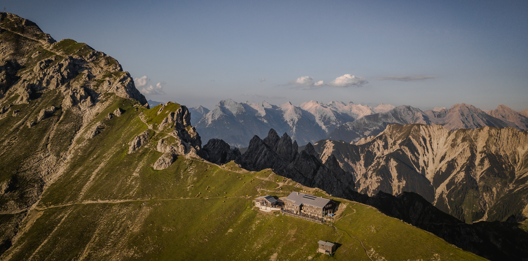
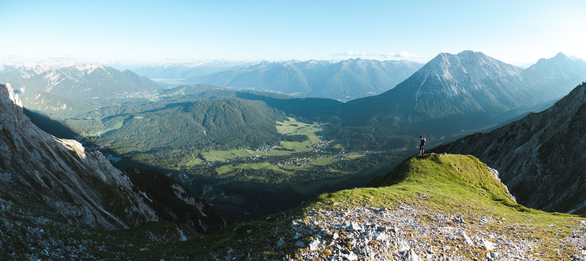
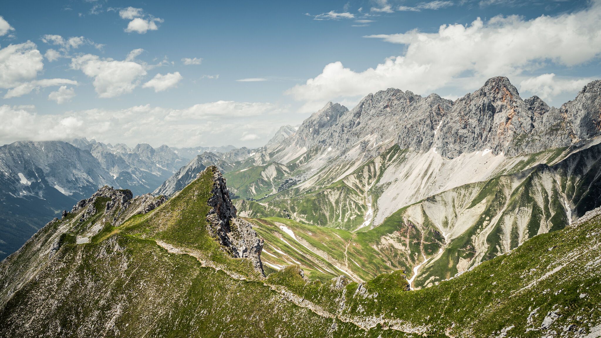


Other adventures in Naturschutzgebiet Arnspitze

Tips from the Community

Brilliant from every angle, the Hohe Munde.
0
0


I went through here with 12 cyclists and everyone really enjoyed it. It's happening here
2
0

It is written in large letters. Wonderful to look at with the Hohe Munde as a background!
3
1

The Karwendel Mountains are always a worthwhile view! They are simply impressive.
0
0

Since 2016, the chapel has belonged entirely to the municipality of Krün; previously, it was owned equally by two private individuals until 2005. Then the first half was donated to the municipality, and in 2016 the second half was donated.
3
1

Ellmau Castle, also known from various summit meetings of heads of state, is picturesquely situated in the middle of the mountains.
11
0

Unique landscape with 2 luxury hotels that do not disturb
3
0
Frequently Asked Questions
How many no-traffic road cycling routes are available in Naturschutzgebiet Arnspitze?
There are 3 dedicated no-traffic road cycling routes listed for the Naturschutzgebiet Arnspitze region on komoot, offering a variety of experiences for cyclists.
What kind of terrain can I expect on these no-traffic road cycling routes?
The region features stunning alpine landscapes with both flat and gently rolling sections, as well as some challenging climbs. While the routes are primarily paved, some 'hard' routes in the broader area might include unpaved segments. The routes listed here are specifically chosen for their suitability for road bikes on mostly paved surfaces.
Are there any easy no-traffic road cycling routes suitable for beginners or families?
Yes, there are 2 easy no-traffic road cycling routes. For a relaxed ride, consider the Leutasch Valley Scenic Road – Leutasch sign loop from Burggraben, which covers 26.6 km with moderate elevation gain. Another easy option is the Drinking Water Fountain – Elmau Toll Road loop from Klais, a 13.2 km route.
What are some notable landmarks or natural features I can see along these routes?
The region is rich in natural beauty. While cycling, you might encounter views of the dramatic Northern Limestone Alps. Notable points of interest in the broader area include the High Saddle and the Arnspitz Hut, which offers spectacular views. The picturesque Leutasch Valley is also a prominent feature on some routes.
What do other road cyclists enjoy most about cycling in Naturschutzgebiet Arnspitze?
The komoot community highly rates the cycling experience in this region, with an average score of 4.6 stars from 188 ratings. Cyclists often praise the stunning alpine scenery, the quiet, traffic-free roads, and the diverse terrain that caters to various fitness levels.
Are there any circular no-traffic road cycling routes?
Yes, all the listed no-traffic road cycling routes are circular. For example, the Leutasch Valley Scenic Road – Lochlehn Scenic Road loop from Mittenwald is a moderate 17.8 km loop, and the Leutasch Valley Scenic Road – Leutasch sign loop from Burggraben is an easy 26.6 km loop.
What is the best time of year for no-traffic road cycling in Naturschutzgebiet Arnspitze?
The best time for road cycling in the Naturschutzgebiet Arnspitze region is generally from spring through autumn. During these seasons, the weather is more favorable, and the alpine roads are typically clear of snow, offering the most enjoyable conditions for exploring the scenic routes.
Are there any challenging no-traffic road cycling routes?
Among the currently listed no-traffic routes, the most challenging is the Leutasch Valley Scenic Road – Lochlehn Scenic Road loop from Mittenwald, rated as moderate. While not 'difficult', it offers a good workout with its 98 meters of elevation gain over 17.8 km.
Can I find cafes or restaurants near the no-traffic road cycling routes?
While specific cafes are not listed directly on the routes, the region, particularly towns like Mittenwald and areas within the Leutasch Valley, are popular tourist destinations. You can expect to find various dining options and places to refuel in these nearby settlements, which are often starting or ending points for the routes.
What are the typical elevation gains on these no-traffic road cycling routes?
The elevation gains on these routes vary. For instance, the Leutasch Valley Scenic Road – Lochlehn Scenic Road loop from Mittenwald has an elevation gain of approximately 98 meters, while the Drinking Water Fountain – Elmau Toll Road loop from Klais features around 216 meters of ascent.
Is public transport available to access the starting points of these routes?
The Naturschutzgebiet Arnspitze region is well-connected within the broader Landkreis Garmisch-Partenkirchen. Towns like Mittenwald, Klais, and Burggraben, which serve as starting points for these routes, are generally accessible by public transport, including regional buses and trains, making it convenient to reach the trailheads without a car.
Are there any restrictions for cycling within the Naturschutzgebiet Arnspitze?
While the core protected area has limited public road access, the routes featured here are specifically chosen to be suitable for road cycling on designated paths and roads. Always respect local signage and regulations within the nature reserve, especially regarding protected areas and wildlife.
Most popular routes in Naturschutzgebiet Arnspitze
Most popular attractions in Naturschutzgebiet Arnspitze

Get inspired with the komoot mobile app


Explore more
Browse the best Road cycling routes in other regions.
