Naturschutzgebiet Arnspitze
Naturschutzgebiet Arnspitze
The best gravel rides in Naturschutzgebiet Arnspitze
4.6
(517)
3,415
riders
50
rides
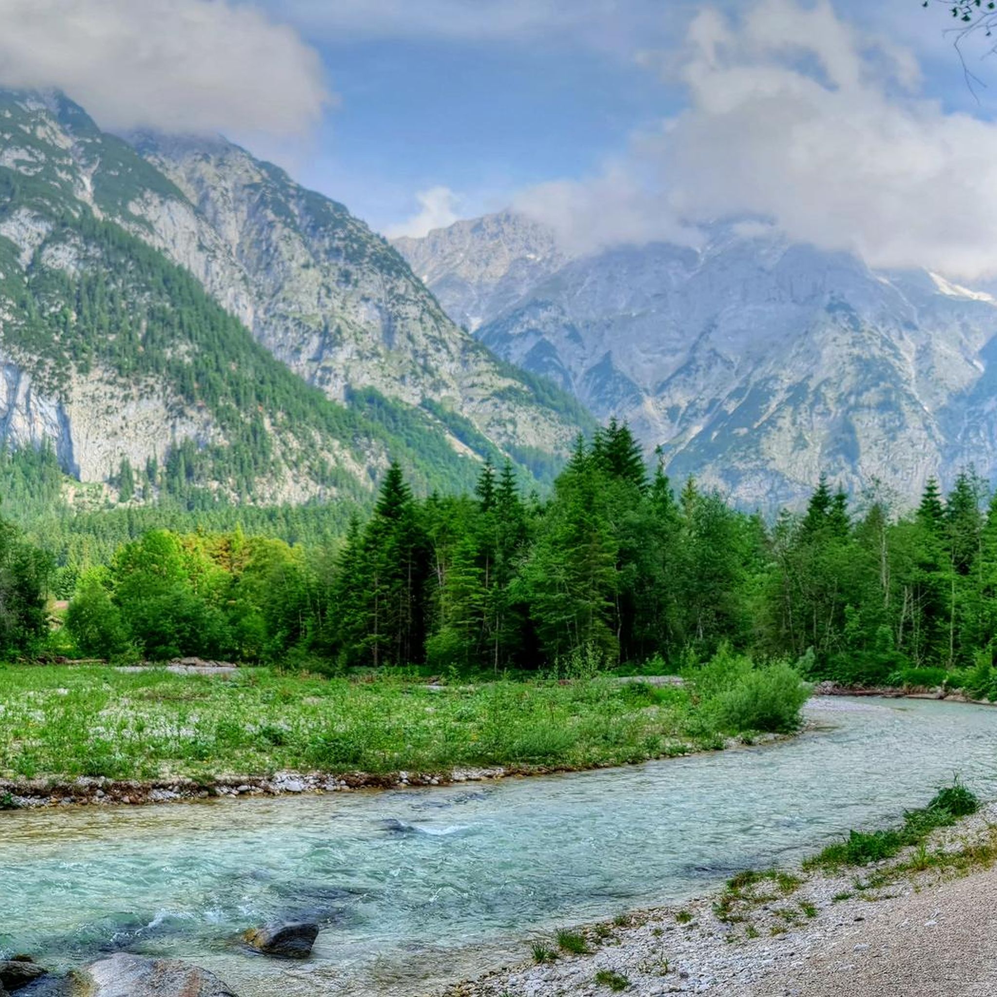
Gravel biking in Naturschutzgebiet Arnspitze offers routes through an untouched wilderness characterized by rugged peaks, dense forests, and diverse landscapes. The region features a geological composition predominantly of Wettersteinkalk limestone, with traces of ancient glaciation visible through rounded landforms and moraines. Extensive unpaved forest and gravel paths make the area well-suited for gravel bikes, providing a natural cycling experience away from public roads. The terrain ranges from montane spruce-fir forests to subalpine dwarf pine fields, offering varied environments for exploration.
…Last updated: October 6, 2026
4.8
(4)
19
riders
20.2km
01:06
170m
170m
Moderate gravel ride. Good fitness required. Mostly paved surfaces. Suitable for all skill levels.
4.8
(44)
282
riders
29.5km
01:41
340m
340m
Moderate gravel ride. Good fitness required. Mostly paved surfaces. Suitable for all skill levels.

3.9
(8)
102
riders
59.7km
03:23
530m
530m
Hard gravel ride. Very good fitness required. Mostly paved surfaces. Suitable for all skill levels.
4.9
(29)
158
riders
47.3km
02:47
670m
670m
Hard gravel ride. Very good fitness required. Mostly paved surfaces. Suitable for all skill levels.
4.3
(4)
43
riders
22.3km
01:15
270m
270m
Moderate gravel ride. Good fitness required. Mostly paved surfaces. Suitable for all skill levels.
Get access to more routes and recommendations from other explorers.
Already have an account?
Our route recommendations are based on thousands of hikes, rides, and runs completed by other people on komoot.
Start today with a free account
Your next adventure awaits.
Popular around Naturschutzgebiet Arnspitze
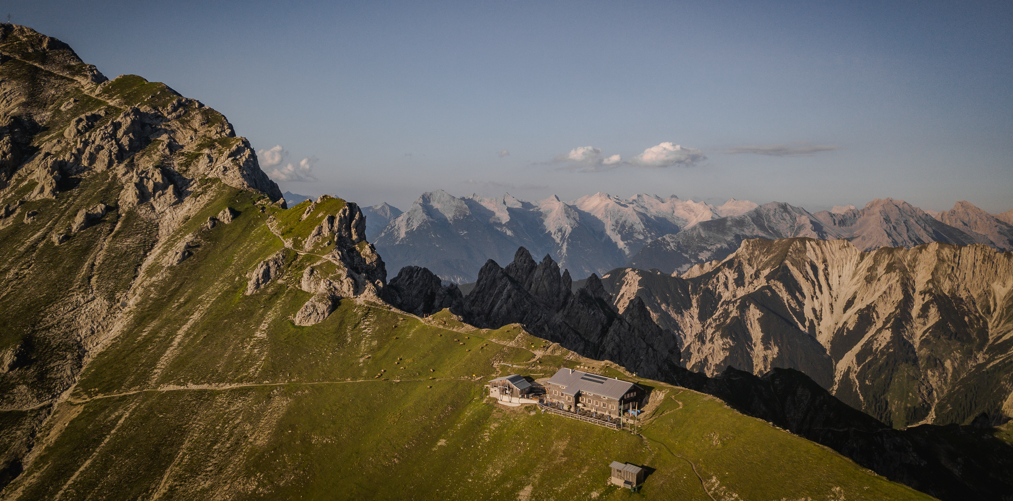
Hiking & enjoyment: huts and pastures around the Seefeld region - Tyrol's high plateau
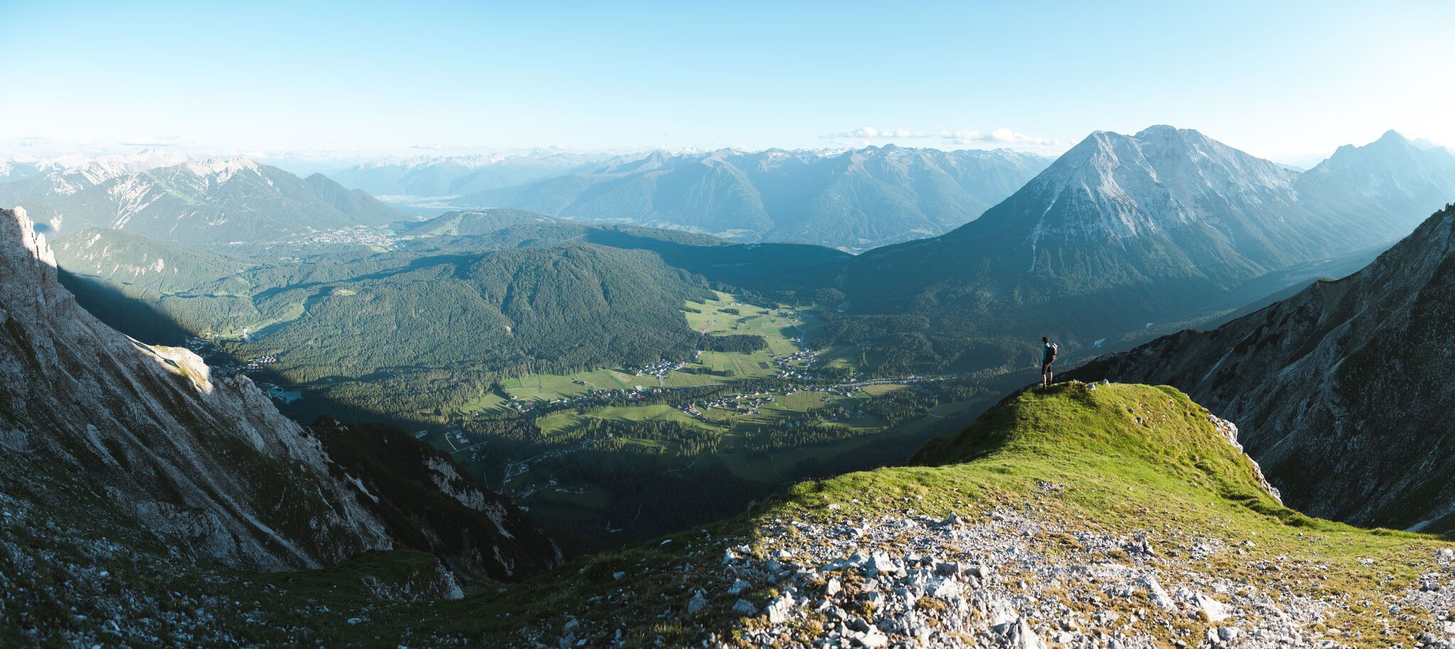
On the Seefelder Plateau
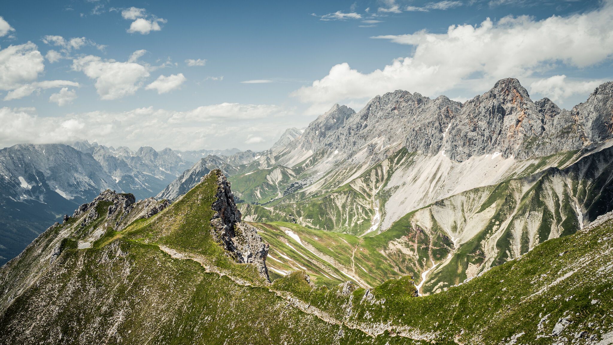
Hoch hinaus – die schönsten Gipfeltouren in der Region Seefeld
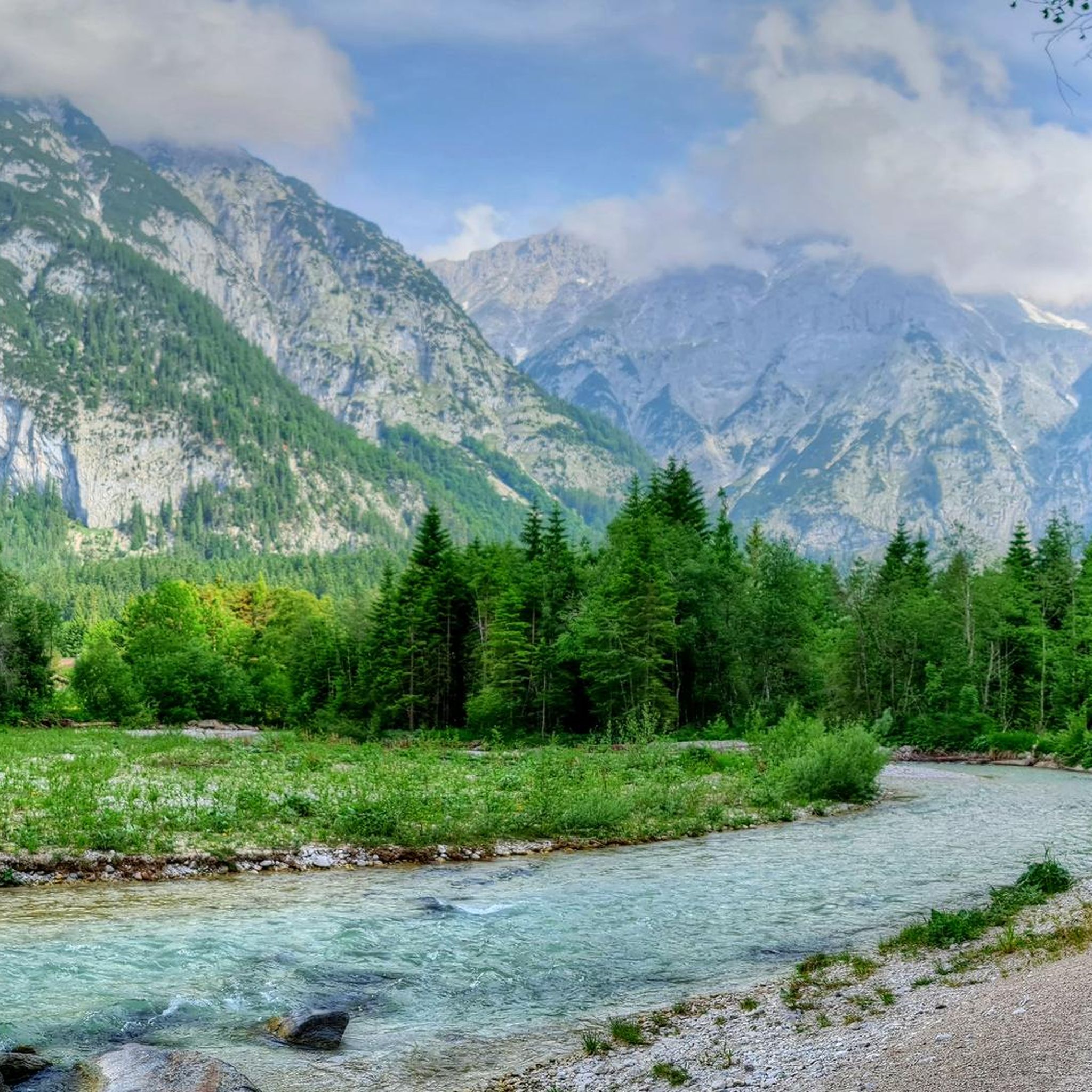
Hiking in Naturschutzgebiet Arnspitze
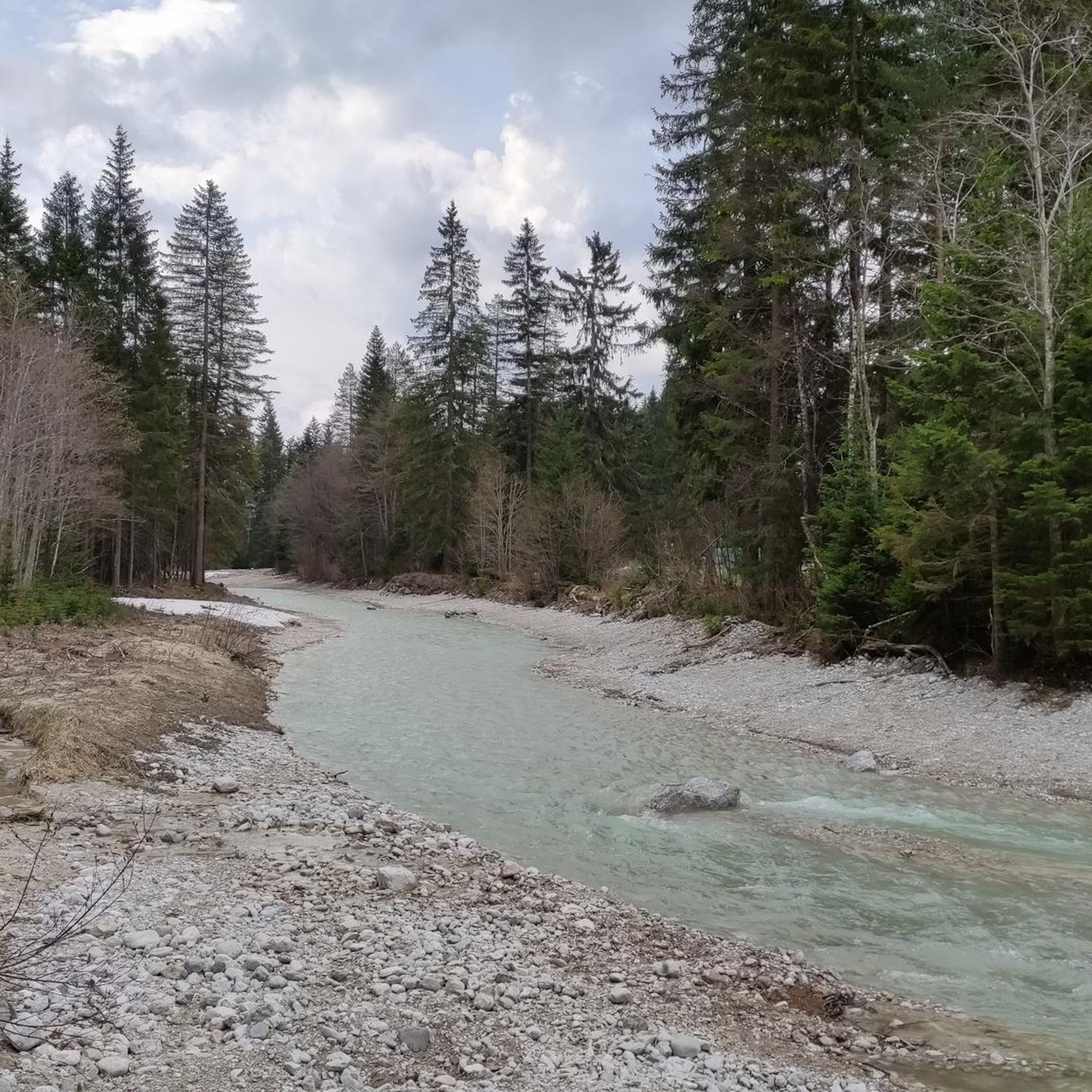
MTB Trails in Naturschutzgebiet Arnspitze
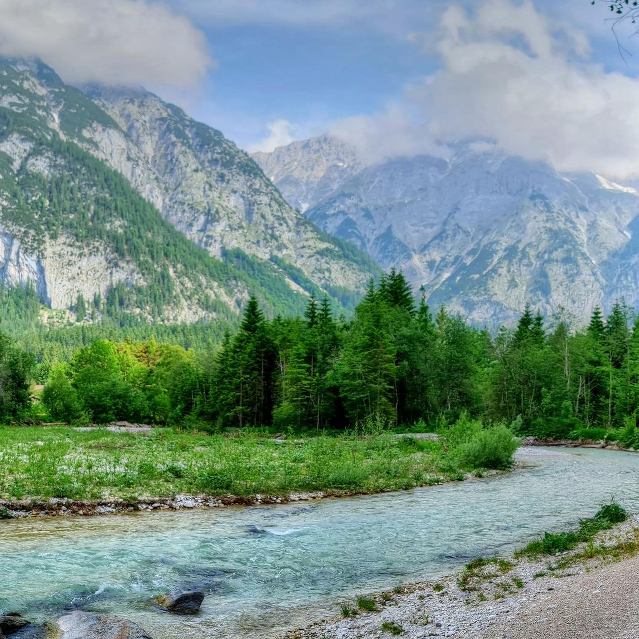
Cycling in Naturschutzgebiet Arnspitze
Mountain Hikes in Naturschutzgebiet Arnspitze
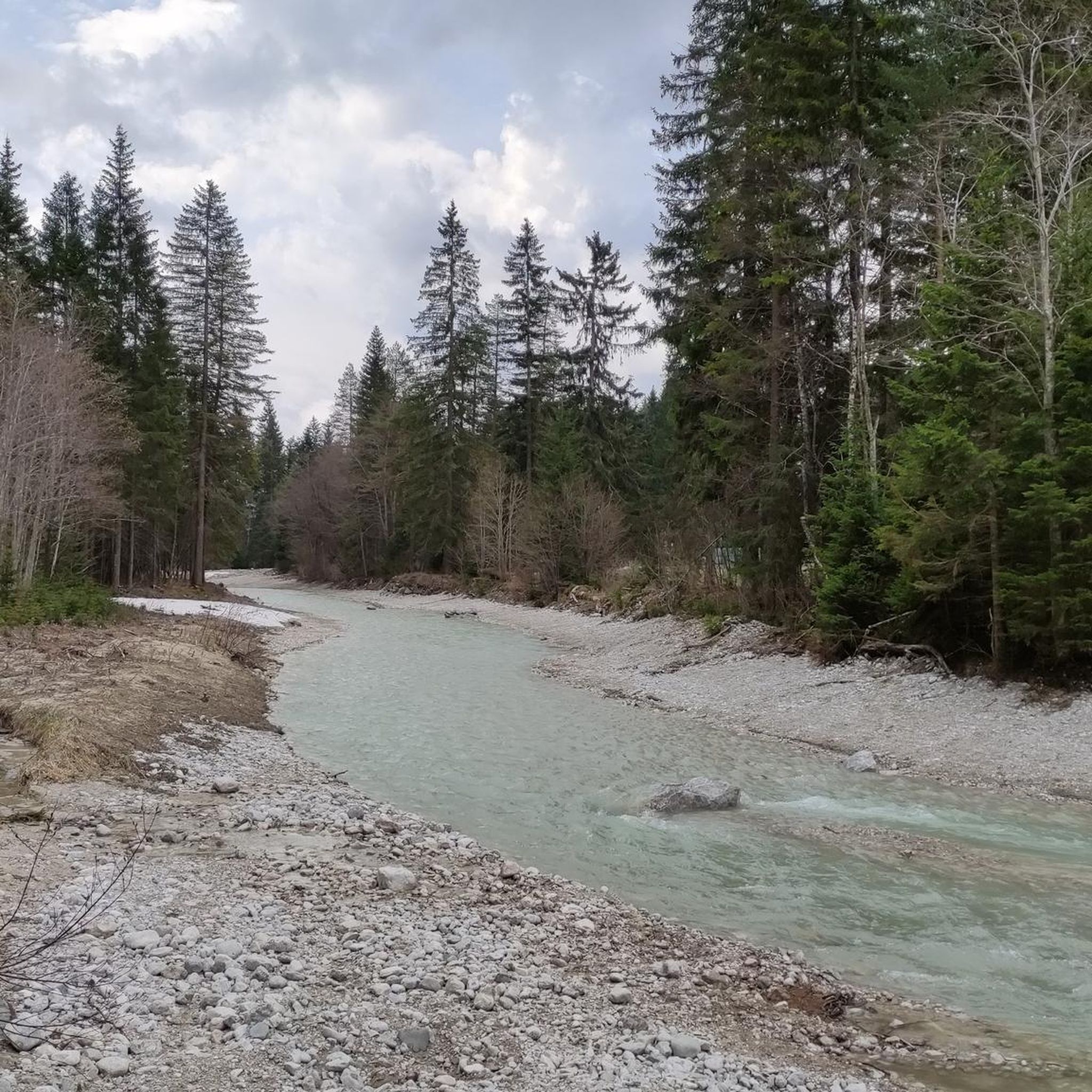
Running Trails in Naturschutzgebiet Arnspitze
Road Cycling Routes in Naturschutzgebiet Arnspitze
Other adventures in Naturschutzgebiet Arnspitze

Tips from the Community

Here there are delicious Schorlen and cakes.
0
0
Here you can relax well and enjoy nature.
0
0
Very clear water: In its upper reaches, the Isar often contains few organic substances and suspended solids. This allows light to penetrate deeply, and the characteristic blue and turquoise tones are perceived more strongly.
0
0

Super beautiful area 🤩 Whether by bike or on foot, always worth a tour.
7
0

A dream, we also call it Little Canada
0
0

The Isar is a 292-kilometer-long Alpine river that originates in the Karwendel Mountains in Tyrol (Austria), flows through Bavaria, and flows into the Danube south of Deggendorf. After the Danube, Inn, and Main, it is Bavaria's fourth-largest river. It is particularly famous as the green "leisure artery" of the state capital Munich.
0
0

Stop and admire !!
0
0

Cycle path along the Leutascher Ache from Leutasch to Mittenwald.
0
0
Frequently Asked Questions
Is gravel biking permitted throughout Naturschutzgebiet Arnspitze?
Yes, Naturschutzgebiet Arnspitze is well-suited for gravel biking, offering extensive unpaved forest and gravel paths. The region provides a natural cycling experience away from public roads, though some segments might require pushing your bike due to challenging terrain. While no public roads lead directly into the core of the reserve, a very steep forest road from Ahrn to Hoher Sattel offers a significant challenge for those seeking an intense climb.
How many gravel bike trails are available in Naturschutzgebiet Arnspitze?
There are over 60 gravel bike trails in Naturschutzgebiet Arnspitze. These routes cater to various fitness levels, with options ranging from easy rides to very challenging climbs. Specifically, you'll find 6 easy, 21 moderate, and 36 difficult routes to explore.
What kind of landscapes can I expect to see while gravel biking here?
You'll encounter a diverse range of landscapes, from montane spruce-fir and spruce-fir-beech forests to subalpine spruce-larch stands and extensive dwarf pine fields. The region is characterized by rugged peaks like Arnplattenspitze and Große Arnspitze, dramatic limestone formations, and visible traces of ancient glaciation, all contributing to a spectacular alpine backdrop.
Are there any family-friendly gravel biking options in the area?
Yes, there are several easier routes suitable for families. For instance, the Leutasch Valley Scenic Road – Leutasch sign loop from Mittenwald is an easy 12.6-mile (20.2 km) trail that offers scenic views through the Leutasch Valley and is generally completed in under 1.5 hours.
What are some notable landmarks or points of interest along the gravel bike routes?
Along your rides, you might encounter several interesting points. The Hoher Sattel is a significant point accessible via a steep forest road, serving as a starting point for various trails. You could also pass the Arnspitz Hut, which offers a place for rest. The broader Leutasch Valley itself is known for its scenic beauty, and you'll find stunning views towards Scharnitz on routes like the View Towards Scharnitz – Leutasch sign loop from Gießenbach.
What is the best time of year for gravel biking in Naturschutzgebiet Arnspitze?
The best time for gravel biking is generally from spring through autumn when the trails are clear of snow and ice. The region's diverse vegetation means conditions vary with altitude; montane forests are accessible earlier, while subalpine and alpine areas become more suitable later in the season. Winter gravel biking is possible but requires appropriate gear and awareness of snow conditions.
Are there any circular gravel bike routes available?
Yes, many of the gravel bike routes in Naturschutzgebiet Arnspitze are designed as loops. Examples include the Leutasch Valley Scenic Road – Leutasch sign loop from Mittenwald, the View Towards Scharnitz – Leutasch sign loop from Gießenbach, and the Isar Valley – Wild and romantic Isar loop from Scharnitz, which takes you through the wild and romantic Isar Valley.
What do other gravel bikers enjoy most about Naturschutzgebiet Arnspitze?
The area is highly rated by the komoot community, with an average score of 4.5 stars from over 360 reviews. Reviewers often praise the untouched wilderness, the dramatic alpine scenery, and the extensive network of unpaved paths that provide a challenging yet rewarding cycling experience away from traffic.
Where can I find parking for gravel biking in the Naturschutzgebiet Arnspitze area?
While specific parking locations are not detailed for every route, popular starting points for tours in the broader Leutasch Valley and nearby towns like Mittenwald and Scharnitz typically offer parking facilities. It's advisable to check local parking options in these areas before your ride.
Are there options for advanced gravel bikers seeking a challenge?
Absolutely. Naturschutzgebiet Arnspitze offers numerous challenging routes, with 36 out of 63 trails rated as difficult. For example, the View Towards Scharnitz – Leutasch sign loop from Gießenbach is a difficult 27.5-mile (44.3 km) path featuring significant elevation gain, ideal for experienced riders. The very steep forest road from Ahrn to Hoher Sattel also presents an intense climb.
Can I find places to eat or stay near the gravel bike trails?
The broader Leutasch Valley and surrounding areas offer various amenities for cyclists. You can find mountain huts like the Arnspitz Hut along some routes for rest. Nearby towns and villages provide cafes, pubs, and accommodation options suitable for cyclists, allowing you to refuel and relax after your rides.
Most popular routes in Naturschutzgebiet Arnspitze
Most popular attractions in Naturschutzgebiet Arnspitze

Get inspired with the komoot mobile app


Explore more
Browse the best Gravel rides in other regions.
