The best hikes from bus stations in Naturpark Frankenhöhe
4.6
(7432)
31,340
hikers
1,181
hikes
Bus station hiking trails in Naturpark Frankenhöhe offer access to a diverse and well-preserved cultural landscape. This region, located southeast of Rothenburg ob der Tauber, spans approximately 1,100 square kilometers and features a mosaic of mixed forests, rolling hills, and distinct river valleys, including the Altmühl and Tauber. The park's terrain includes wooded mountains, dry habitats, vineyards, orchards, and meadows, providing varied environments for hikers.
Best bus station hiking trails in Naturpark Frankenhöhe
- The most popular bus station hiking route…
Last updated: May 13, 2026
4.4
(23)
92
hikers
10.9km
02:47
50m
50m
Moderate hike. Good fitness required. Easily-accessible paths. Suitable for all skill levels.
4.6
(92)
349
hikers
13.8km
03:43
170m
170m
Moderate hike. Good fitness required. Easily-accessible paths. Suitable for all skill levels.

Sign up for free
4.8
(84)
311
hikers
Moderate hike. Good fitness required. Easily-accessible paths. Suitable for all skill levels.
4.1
(45)
151
hikers
9.64km
02:35
110m
110m
Moderate hike. Good fitness required. Easily-accessible paths. Suitable for all skill levels.
4.6
(30)
94
hikers
Moderate hike. Good fitness required. Easily-accessible paths. Suitable for all skill levels.
Get access to more routes and recommendations from other explorers.
Sign up for free
Already have an account?
Our route recommendations are based on thousands of hikes, rides, and runs completed by other people on komoot.
Start today with a free account
Your next adventure awaits.
Login or Signup
Popular around Naturpark Frankenhöhe

Main-Danube-Lake Constance Trail – Along iconic waters

The Romantic Road – To the Pearls of Southern Germany

The National Natural Landscapes in Bavaria
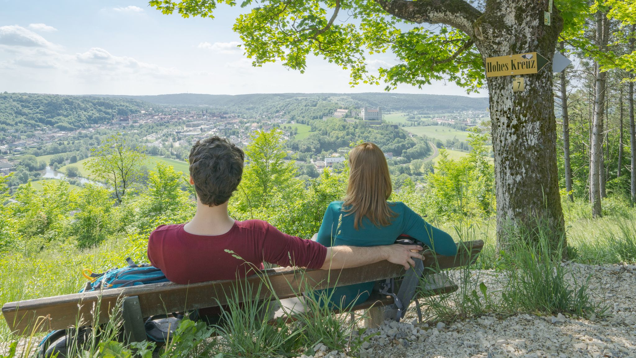
Pleasure, nature and culture – hiking around the Franconian towns
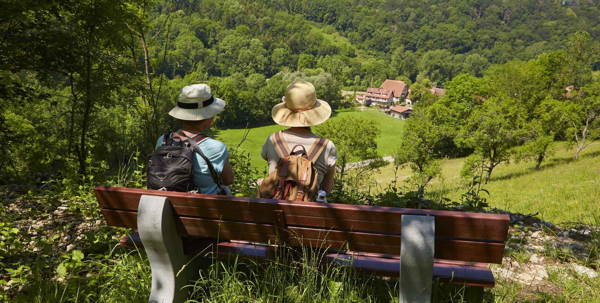
Gentle hills & wide forests – day Tours in the Lovely Tauber Valley
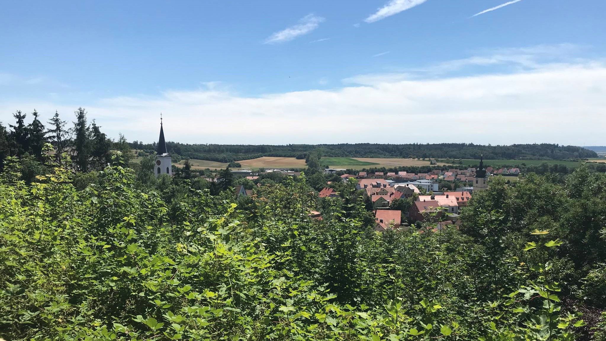
Hike through Franconia in Germany – European Watershed Trail
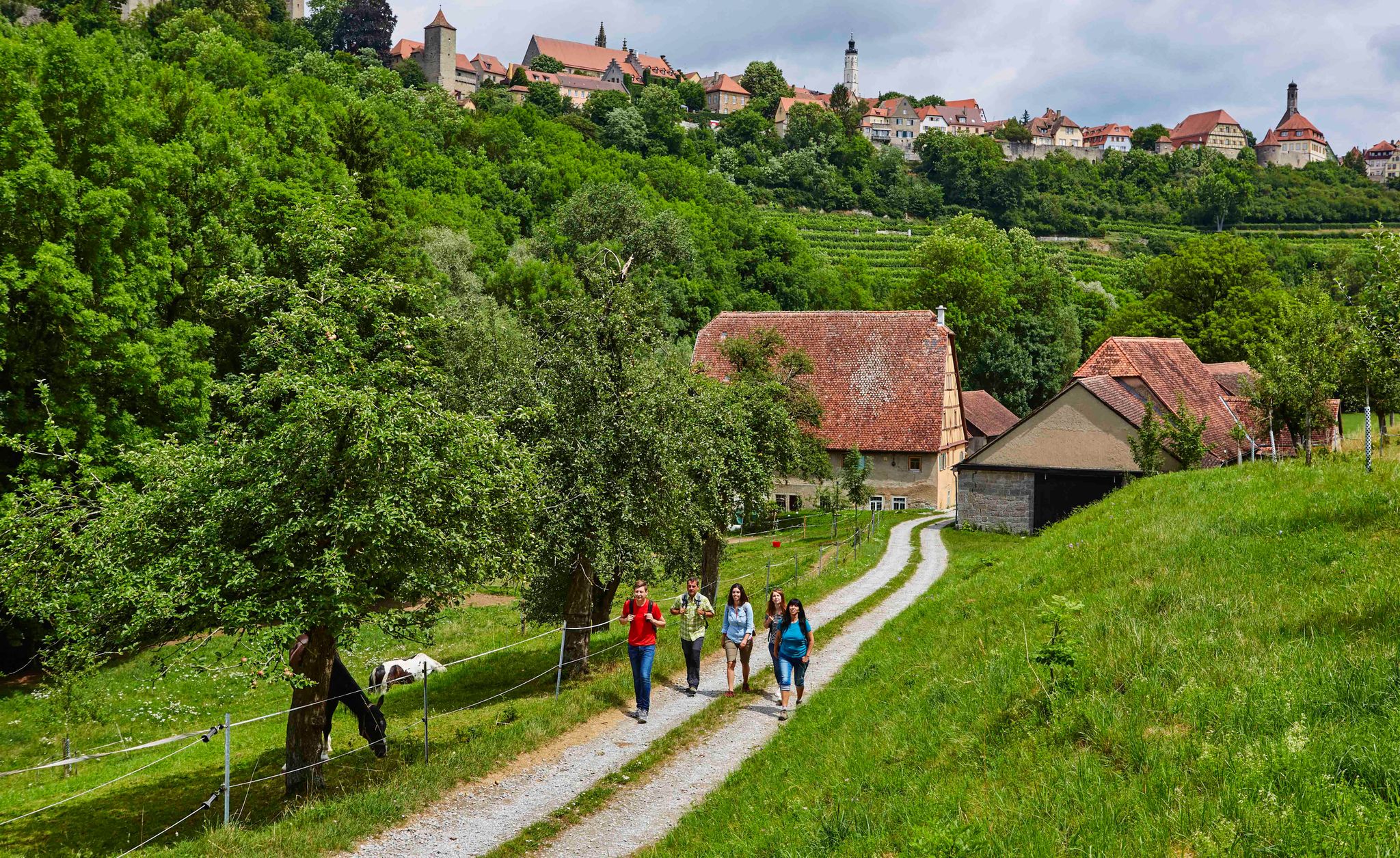
Hike back in time to the Middle Ages – Rothenburg ob der Tauber
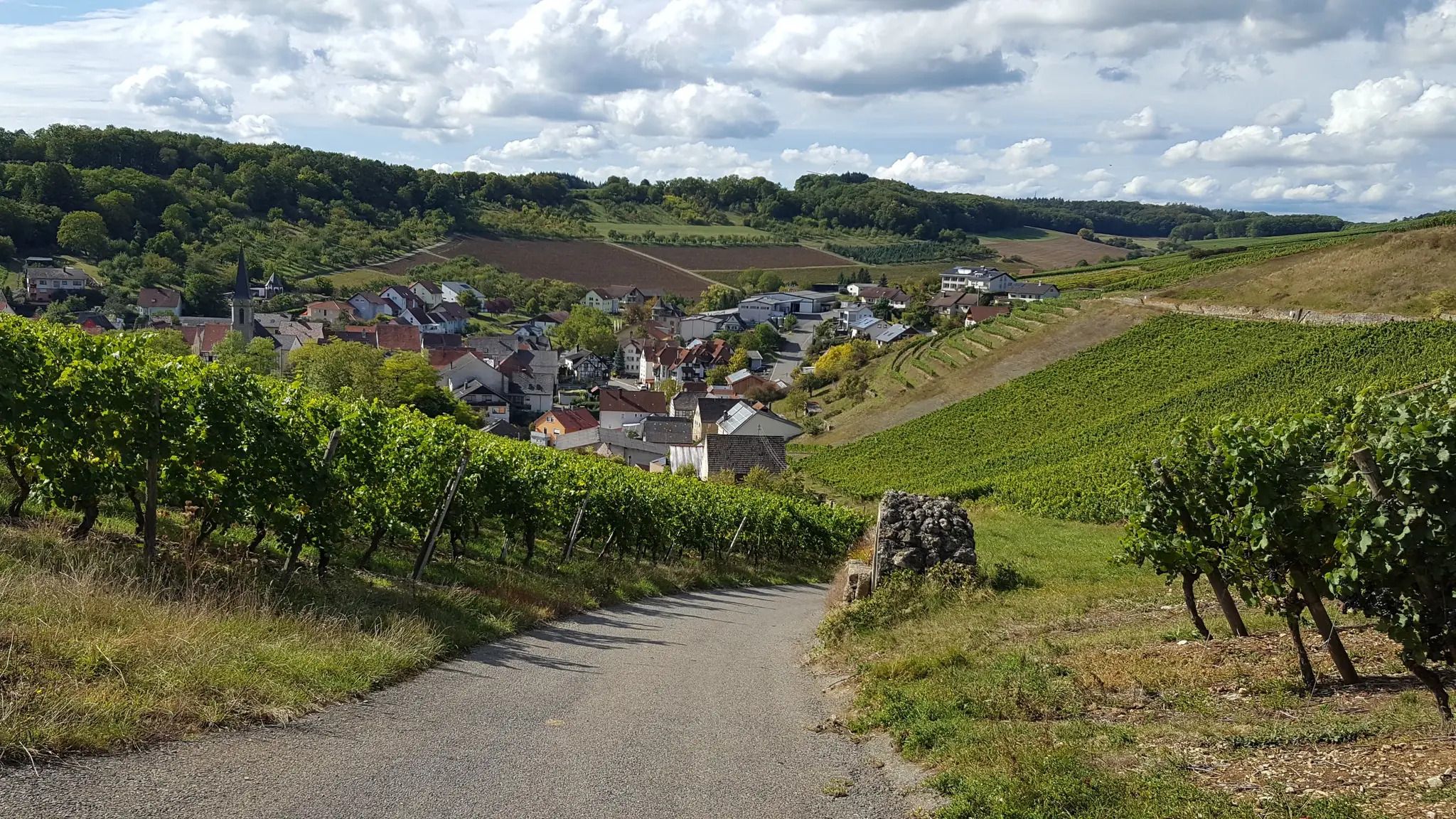
On the panoramic trail through the Tauber Valley
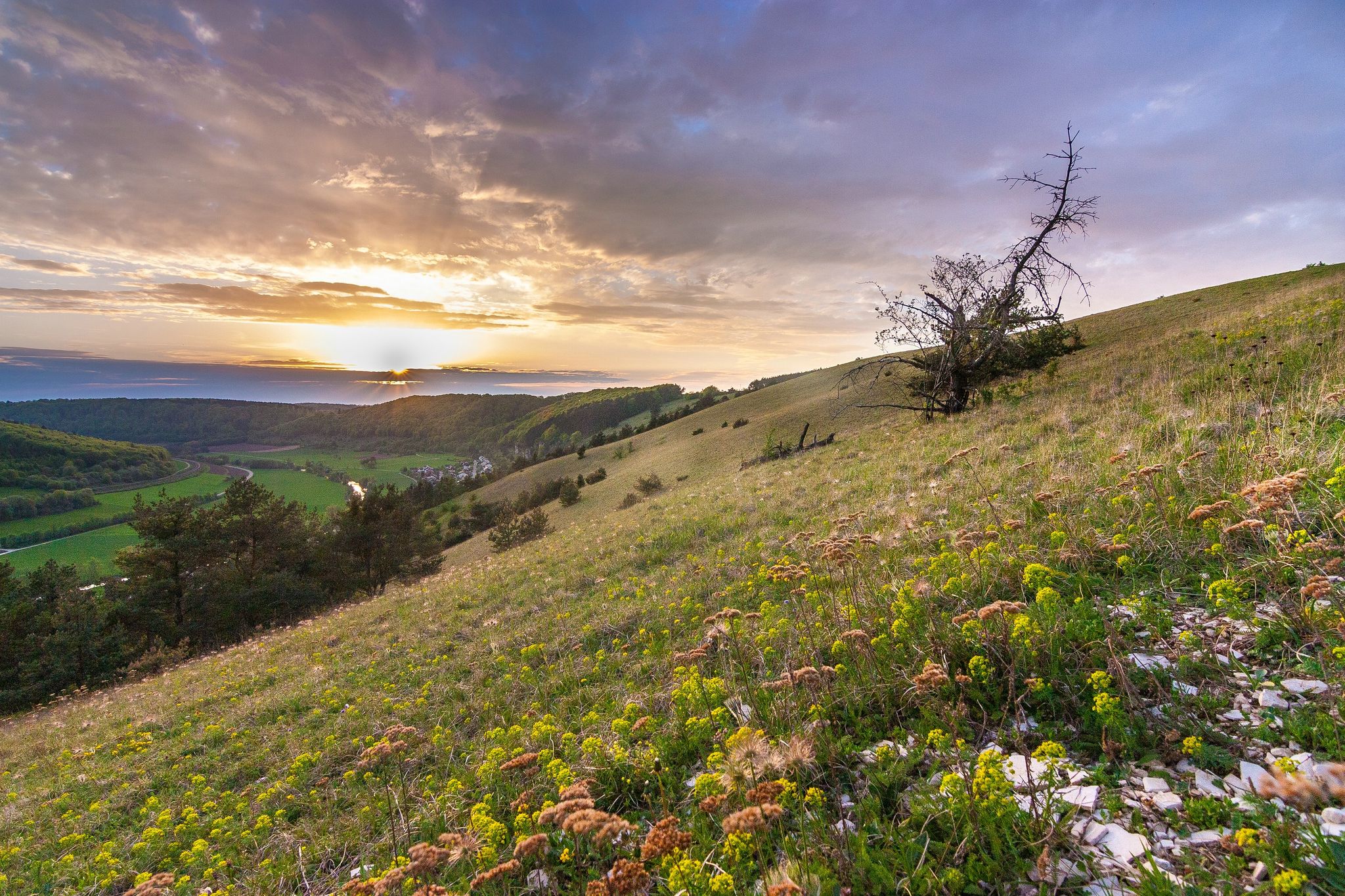
Looking for a small adventure? Your summer in the VGN

Hike & Beer in Franconia and Upper Palatinate — the VGN leisure tips
Other adventures in Naturpark Frankenhöhe


Tips from the Community

Beautiful inn with a great beer garden, great place for a stop.
1
0
Nice path to ride near the Heidenhügel.
1
0
You should take a look, even if the inscriptions are now difficult to read.
1
0

Well-preserved path along the city wall. Rothenburg is a highlight for medieval freaks.
1
0

There are so many perspectives to see in Rothenburg, each revealing something new. Whether inside or outside the wall, on the wall, or in the small alleys and half-timbered houses, it's worth coming here several times and taking your time.
1
0

Visitors can explore the city wall on the Rothenburg Tower Trail, which takes approximately 2.5 hours and covers four kilometers around the old town. On information boards and in the text of the Tower Trail brochure, the authors describe the history of Rothenburg ob der Tauber along the city's 42 towers. Rothenburg ob der Tauber – a city of towers. But which tower can visitors actually climb to get an overview? (https://www.rothenburg.de/entdecken/top-10/stadtmauer-und-tuerme )
1
0

Great covered original bridge that has survived the rigors of time well
7
0
Here you can get a view from outside... even without crowds
9
0
Frequently Asked Questions
How many bus-accessible hiking trails are available in Naturpark Frankenhöhe?
Naturpark Frankenhöhe offers a wide variety of bus-accessible hiking trails. You'll find over 1,100 routes, with more than 570 considered easy and 580 moderate, making it accessible for various fitness levels. The region's well-developed public transport network connects you to numerous trailheads.
What makes Naturpark Frankenhöhe a good destination for bus-accessible hiking?
The Naturpark Frankenhöhe is known for its diverse and well-preserved cultural landscape, pleasant climate, and extensive network of scenic trails. It's one of the sunniest regions in Southern Germany, offering a balanced climate with rare extreme weather. The low population density also ensures a tranquil hiking experience, easily reachable by bus.
Are there easy bus-accessible hiking trails suitable for beginners or families in Naturpark Frankenhöhe?
Yes, many bus-accessible trails in Naturpark Frankenhöhe are suitable for beginners and families. The region is characterized by rolling hills and moderate altitude differences, making for relaxed hikes. Over 570 easy routes are available, including shorter circular paths and educational trails. For example, the Die Wachsbiene Honey Shop – Blümchenweiher loop from Dietenhofen is a moderate option that's under 10 km.
Can I find circular hiking routes that start and end at a bus station?
Absolutely. Many trails in Naturpark Frankenhöhe are designed as circular routes, allowing you to start and finish at the same bus stop. An excellent example is the Circular hiking trail LT 30 Beer hiking trail Landwehr-Bräu, which offers a pleasant loop experience.
What kind of landscapes can I expect to see on bus-accessible hikes in Naturpark Frankenhöhe?
The park's landscape is a rich mosaic. You'll encounter mixed forests, rolling hills, and distinct river valleys like those of the Altmühl and Tauber. There are also dry biotopes, vineyards, scattered orchards, and meadows, providing a wide range of scenic beauty and diverse ecological niches.
Are there any historical sites or landmarks accessible from bus stops?
Yes, Naturpark Frankenhöhe is nestled between historic towns and features several high-lying castles. You can explore parts of Rothenburg ob der Tauber, known for its medieval old town, and its impressive city wall. The Tower Trail along the city wall – Sieber Tower loop from Rothenburg ob der Tauber is a great way to experience this. Other notable sites include the Kobolzeller Gate and Toppler's Little Castle.
What do other hikers enjoy most about hiking in Naturpark Frankenhöhe?
The komoot community highly rates hiking in Naturpark Frankenhöhe, with an average score of 4.58 stars. Reviewers often praise the region's tranquility, the diverse and well-maintained trails, and the beautiful natural scenery, especially the varied forests and river valleys. The accessibility via public transport is also a frequently appreciated aspect.
Are dogs allowed on the bus-accessible hiking trails in Naturpark Frankenhöhe?
Generally, dogs are welcome on hiking trails in Naturpark Frankenhöhe. However, it's always recommended to keep them on a leash, especially in nature protection areas, near wildlife, or when passing through agricultural land. Please ensure you clean up after your dog to preserve the natural environment for everyone.
What is the best time of year to visit Naturpark Frankenhöhe for bus-accessible hiking?
Naturpark Frankenhöhe offers pleasant hiking conditions throughout much of the year due to its balanced climate. Spring brings blooming orchards and meadows, while autumn showcases vibrant forest colors. Summer is also popular, with shaded forest paths providing relief. The region rarely experiences extreme weather, making it a good choice for hiking across multiple seasons.
Are there any specific natural highlights or viewpoints I can reach by bus and a short hike?
Yes, the park offers several natural highlights and viewpoints. The Summit cross on the Petersberg provides excellent panoramic views. The region is also the source of several rivers, and you can find picturesque views along the idyllic Tauber river. The diverse habitats, from forests to dry biotopes, offer unique natural beauty.
Are there any cafes or restaurants near bus-accessible trailheads?
Given the region's focus on tourism and its charming towns, you can often find cafes, pubs, and restaurants in the villages and towns where bus stops are located. These establishments provide opportunities for refreshments before or after your hike, allowing you to enjoy local Franconian cuisine and hospitality.
Most popular routes in Naturpark Frankenhöhe
Most popular attractions in Naturpark Frankenhöhe

Get inspired with the komoot mobile app


Explore more
Browse the best Hikes in other regions.
