The best city hikes and walks in Naturpark Frankenhöhe
4.6
(7432)
31,340
hikers
62
hikes
Urban hiking trails in Naturpark Frankenhöhe traverse a diverse landscape characterized by mixed woodlands, river valleys, and historic towns. The region, located in Bavaria, features hilly terrain and wooded areas, with elevations alternating with pronounced river valleys. Hikers can explore extensive forests and cultural gems, including well-preserved medieval towns like Rothenburg ob der Tauber. This varied environment provides accessible routes for different fitness levels.
Best urban hiking trails in Naturpark Frankenhöhe
- The most popular urban hiking route is Tower Trail…
Last updated: May 13, 2026
4.8
(805)
3,854
hikers
Moderate hike. Good fitness required. Easily-accessible paths. Suitable for all skill levels.
4.6
(15)
136
hikers
3.73km
01:03
80m
80m
Easy hike. Great for any fitness level. Easily-accessible paths. Suitable for all skill levels.

Sign up for free
5.0
(12)
58
hikers
Easy hike. Great for any fitness level. Easily-accessible paths. Suitable for all skill levels.
4.8
(112)
596
hikers
Easy hike. Great for any fitness level. Easily-accessible paths. Suitable for all skill levels.
4.8
(13)
67
hikers
Easy hike. Great for any fitness level. Easily-accessible paths. Suitable for all skill levels.
Get access to more routes and recommendations from other explorers.
Sign up for free
Already have an account?
Our route recommendations are based on thousands of hikes, rides, and runs completed by other people on komoot.
Start today with a free account
Your next adventure awaits.
Login or Signup
Popular around Naturpark Frankenhöhe

Main-Danube-Lake Constance Trail – Along iconic waters

The Romantic Road – To the Pearls of Southern Germany

The National Natural Landscapes in Bavaria
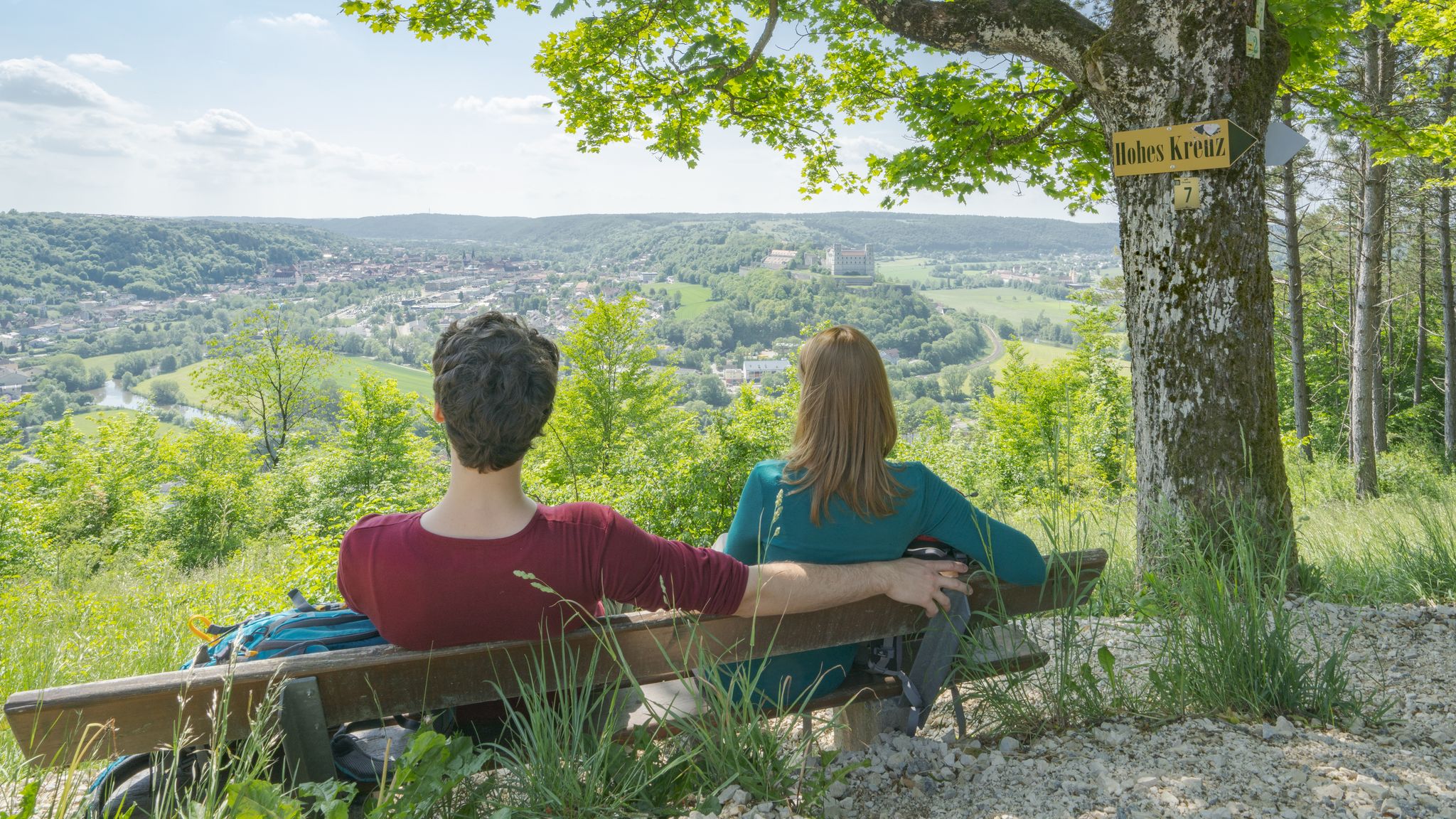
Pleasure, nature and culture – hiking around the Franconian towns
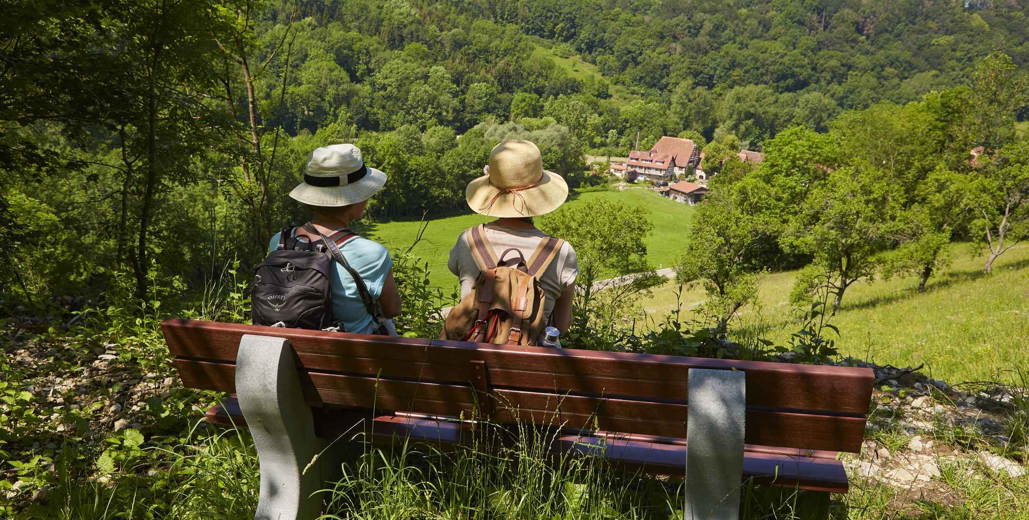
Gentle hills & wide forests – day Tours in the Lovely Tauber Valley
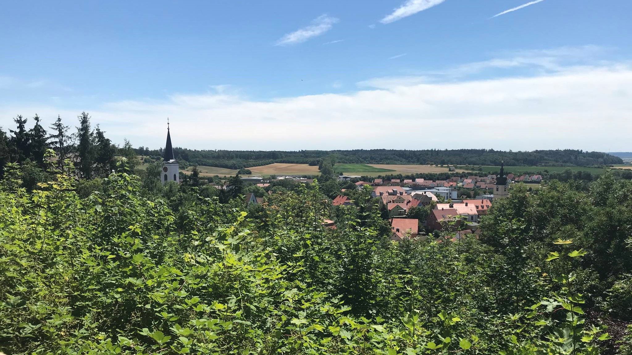
Hike through Franconia in Germany – European Watershed Trail
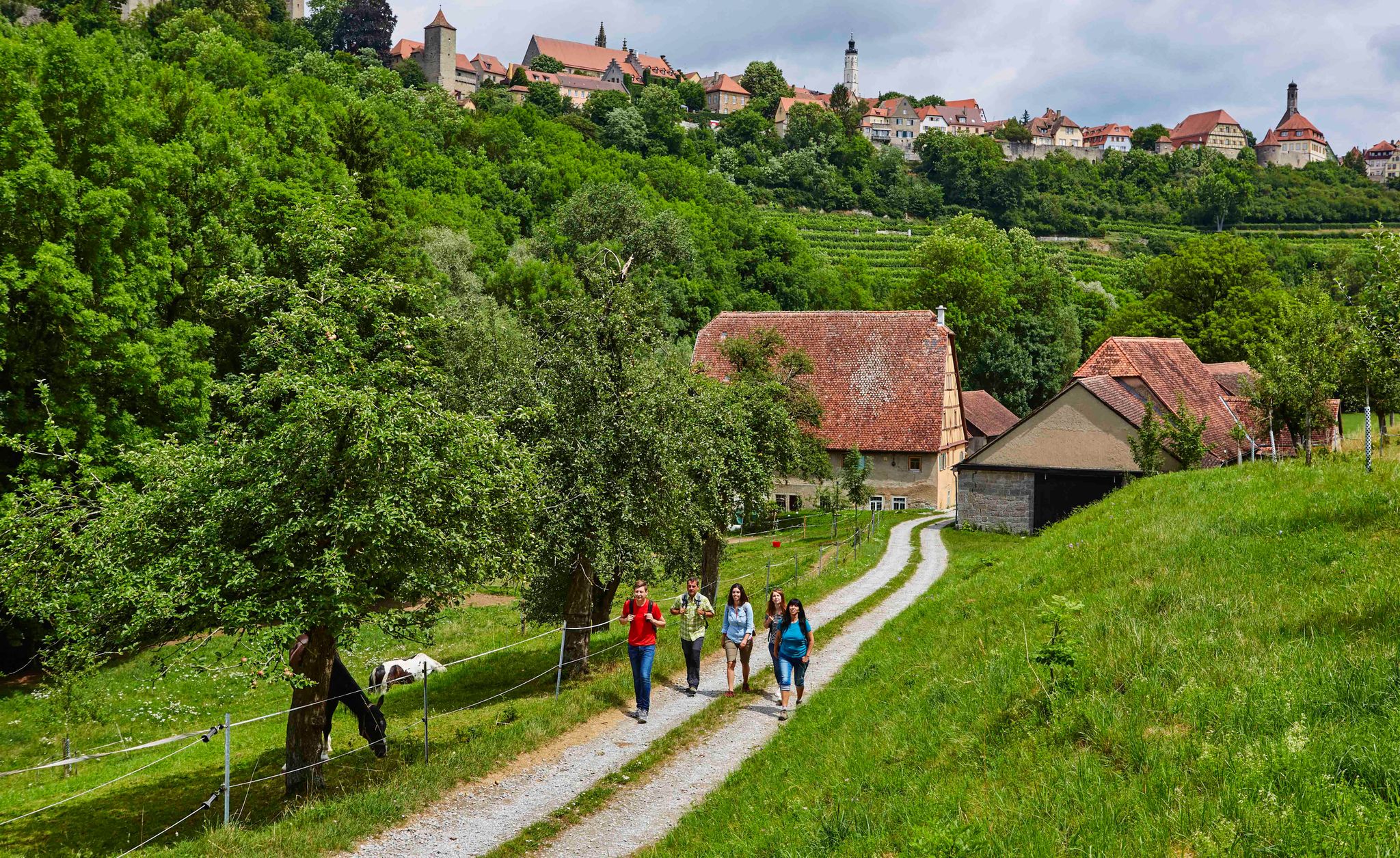
Hike back in time to the Middle Ages – Rothenburg ob der Tauber
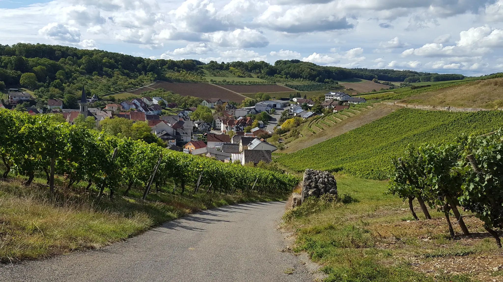
On the panoramic trail through the Tauber Valley
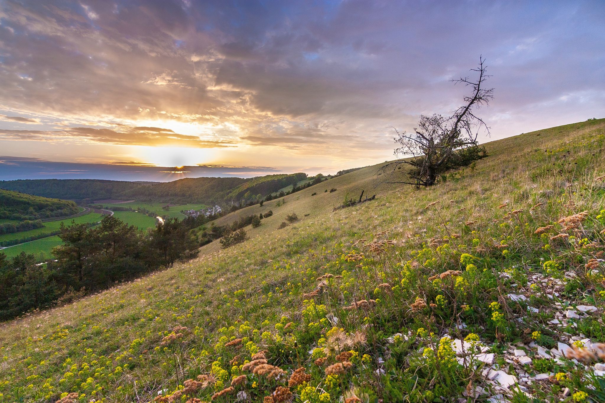
Looking for a small adventure? Your summer in the VGN

Hike & Beer in Franconia and Upper Palatinate — the VGN leisure tips
Other adventures in Naturpark Frankenhöhe


Tips from the Community

Well-preserved path along the city wall. Rothenburg is a highlight for medieval freaks.
1
0

There are so many perspectives to see in Rothenburg, each revealing something new. Whether inside or outside the wall, on the wall, or in the small alleys and half-timbered houses, it's worth coming here several times and taking your time.
1
0

Visitors can explore the city wall on the Rothenburg Tower Trail, which takes approximately 2.5 hours and covers four kilometers around the old town. On information boards and in the text of the Tower Trail brochure, the authors describe the history of Rothenburg ob der Tauber along the city's 42 towers. Rothenburg ob der Tauber – a city of towers. But which tower can visitors actually climb to get an overview? (https://www.rothenburg.de/entdecken/top-10/stadtmauer-und-tuerme )
1
0

Great covered original bridge that has survived the rigors of time well
7
0
Breathtakingly beautiful, medieval old town including battlements, accessible for several kilometers
8
0
Here you can get a view from outside... even without crowds
9
0

A very interesting path along the old city wall with many worthwhile views and historical information.
4
0

Great wooden bridge.
1
1
Frequently Asked Questions
How many urban hiking trails are available in Naturpark Frankenhöhe?
Naturpark Frankenhöhe offers a wide selection of urban hiking trails, with over 60 routes available on komoot. These trails are primarily easy to moderate, making them accessible for most hikers.
What kind of terrain can I expect on urban hikes in Naturpark Frankenhöhe?
Urban hikes in Naturpark Frankenhöhe often feature a mix of paved paths, cobblestone streets within historic towns, and natural trails that lead through gentle hills and wooded areas. The region is characterized by a low mountain landscape with moderate altitude differences, making for varied but generally accessible terrain.
Are there any family-friendly urban hikes in Naturpark Frankenhöhe?
Yes, many urban hikes in Naturpark Frankenhöhe are suitable for families. The moderate altitude differences and well-maintained paths make them enjoyable for all ages. For example, the Sieber Tower – Markus Tower & Röder Arch loop from Rothenburg ob der Tauber is an easy option that allows families to explore the historic town.
Can I bring my dog on urban hiking trails in Naturpark Frankenhöhe?
Most urban hiking trails in Naturpark Frankenhöhe are dog-friendly, but it's always advisable to keep your dog on a leash, especially in populated areas or nature protection zones. Be mindful of local regulations and ensure your dog is comfortable with urban environments and potential crowds.
What are some notable landmarks or attractions I can see along urban hikes?
Urban hikes in Naturpark Frankenhöhe often lead through historic towns and past significant landmarks. In Rothenburg ob der Tauber, you can explore the medieval old town and see sights like the Kobolzeller Gate, Spital Bastion and Gebsattler Watch, and the Galgentor (Würzburger Gate). The region also features impressive castles such as Hoheneck Castle.
Are there circular urban hiking routes available?
Yes, many urban hiking routes in Naturpark Frankenhöhe are designed as circular trails, allowing you to start and end at the same point. An example is the Tower Trail along the city wall – Markus Tower & Röder Arch loop from Rothenburg ob der Tauber, which offers a comprehensive experience of the town's historic defenses.
What is the best time of year for urban hiking in Naturpark Frankenhöhe?
Naturpark Frankenhöhe is known as one of the sunniest areas in southern Germany, making it pleasant for urban hiking throughout much of the year. Spring and autumn offer comfortable temperatures and beautiful scenery, with blooming orchards in spring and vibrant foliage in autumn. Summer is also popular, but be prepared for warmer weather. Even in winter, the historic towns can be charming for a stroll.
What do other hikers enjoy most about urban hiking in Naturpark Frankenhöhe?
The komoot community highly rates urban hiking in Naturpark Frankenhöhe, with an average score of 4.6 stars from over 7,300 ratings. Reviewers often praise the well-preserved medieval towns, the charming mix of historical sights and natural landscapes, and the accessibility of the trails for various fitness levels.
Are there easy urban hikes suitable for beginners?
Absolutely. The majority of urban hikes in Naturpark Frankenhöhe are classified as easy. Routes like the Markus Tower & Röder Arch – Sieber Tower loop from Rothenburg ob der Tauber are perfect for beginners, offering manageable distances and minimal elevation gain while still providing a rich experience of the area.
How can I access urban hiking trails using public transport?
Many towns within Naturpark Frankenhöhe, such as Rothenburg ob der Tauber, are accessible by public transport, including regional trains and buses. These towns often serve as excellent starting points for urban hikes. It's recommended to check local public transport schedules for specific routes and connections to your chosen trailheads.
Are there places to eat or drink along the urban hiking routes?
Yes, urban hiking routes in Naturpark Frankenhöhe frequently pass through or near towns and villages where you'll find various cafes, restaurants, and traditional inns. Rothenburg ob der Tauber, for instance, offers numerous options for refreshments and meals, allowing you to easily combine your hike with a culinary stop.
What natural features might I encounter on urban hikes in this region?
Even on urban hikes, you'll often find yourself close to nature. The region features extensive mixed forests, river valleys like the Tauber, and sometimes even vineyards. You might spot diverse plant life and, if you're lucky, local wildlife like the colorful kingfisher along streams, especially on routes that venture slightly outside the immediate town centers, such as The Tauber near Rothenburg – Tower Trail along the city wall loop from Rothenburg ob der Tauber.
Most popular routes in Naturpark Frankenhöhe
Most popular attractions in Naturpark Frankenhöhe

Get inspired with the komoot mobile app


Explore more
Browse the best Hikes in other regions.
