The best hikes from bus stations in Vecht- En Beneden-Reggegebied
4.6
(3116)
14,642
hikers
48
hikes
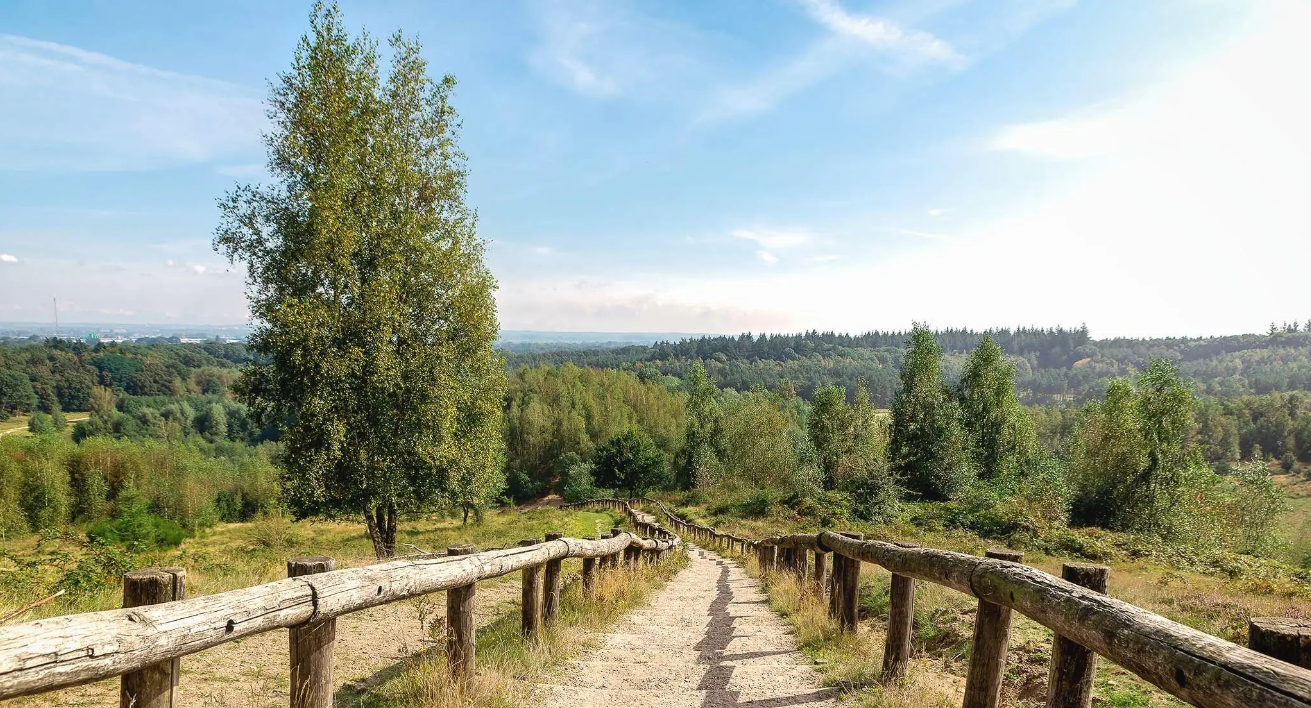
Hiking in Vecht- En Beneden-Reggegebied offers a diverse landscape characterized by both riverine areas and higher sandy grounds. The region features the floodplains of the Overijsselse Vecht and Beneden-Regge rivers, with river dunes and old meanders. Elevated sandy areas include extensive forests, heathlands, and sand drifts, notably the Archemer- and Lemelerberg, which are prominent push moraines rising over 70 meters. This varied terrain provides a range of hiking experiences across forests, heath, and river valleys.
Best bus station hiking trails…
Last updated: May 12, 2026
4.8
(571)
2,661
hikers
11.0km
02:58
130m
130m
Moderate hike. Good fitness required. Easily-accessible paths. Suitable for all skill levels.
4.8
(90)
423
hikers
15.2km
04:03
170m
170m
Moderate hike. Good fitness required. Easily-accessible paths. Suitable for all skill levels.

Sign up for free
4.7
(40)
139
hikers
19.8km
05:07
110m
110m
Hard hike. Very good fitness required. Easily-accessible paths. Suitable for all skill levels.
4.6
(30)
92
hikers
11.9km
02:59
20m
20m
Moderate hike. Good fitness required. Easily-accessible paths. Suitable for all skill levels.
4.8
(33)
198
hikers
16.3km
04:17
140m
140m
Moderate hike. Good fitness required. Easily-accessible paths. Suitable for all skill levels.
Get access to more routes and recommendations from other explorers.
Sign up for free
Already have an account?
Our route recommendations are based on thousands of hikes, rides, and runs completed by other people on komoot.
Start today with a free account
Your next adventure awaits.
Login or Signup
Popular around Vecht- En Beneden-Reggegebied
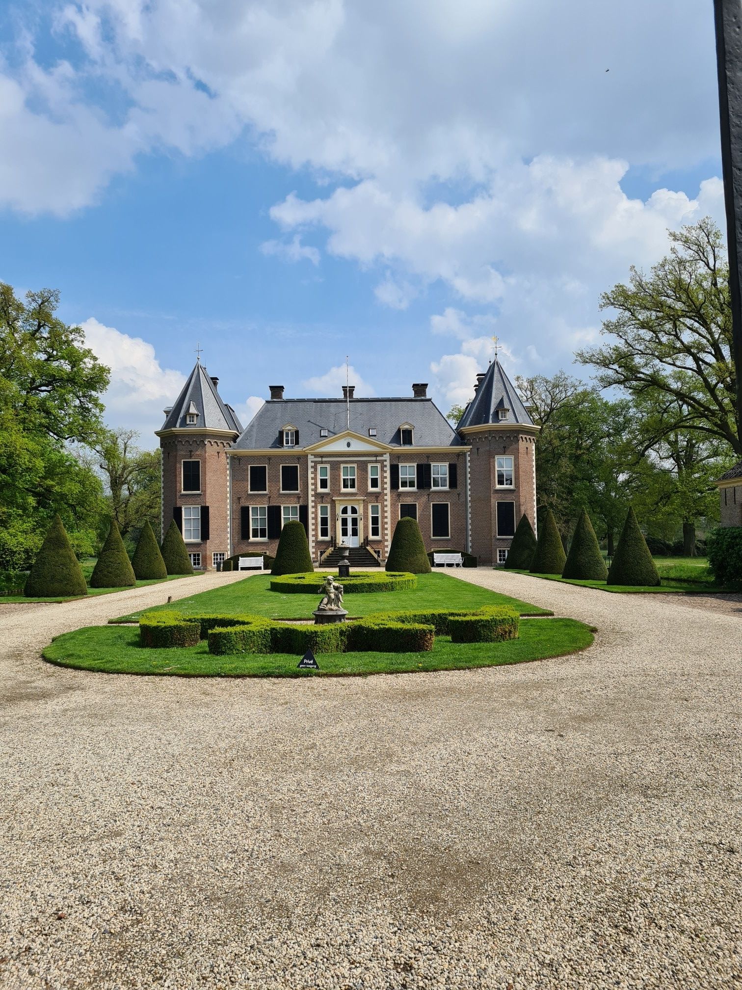
Explore the idyllic Dutch province of Overijssel – Havezatenpad
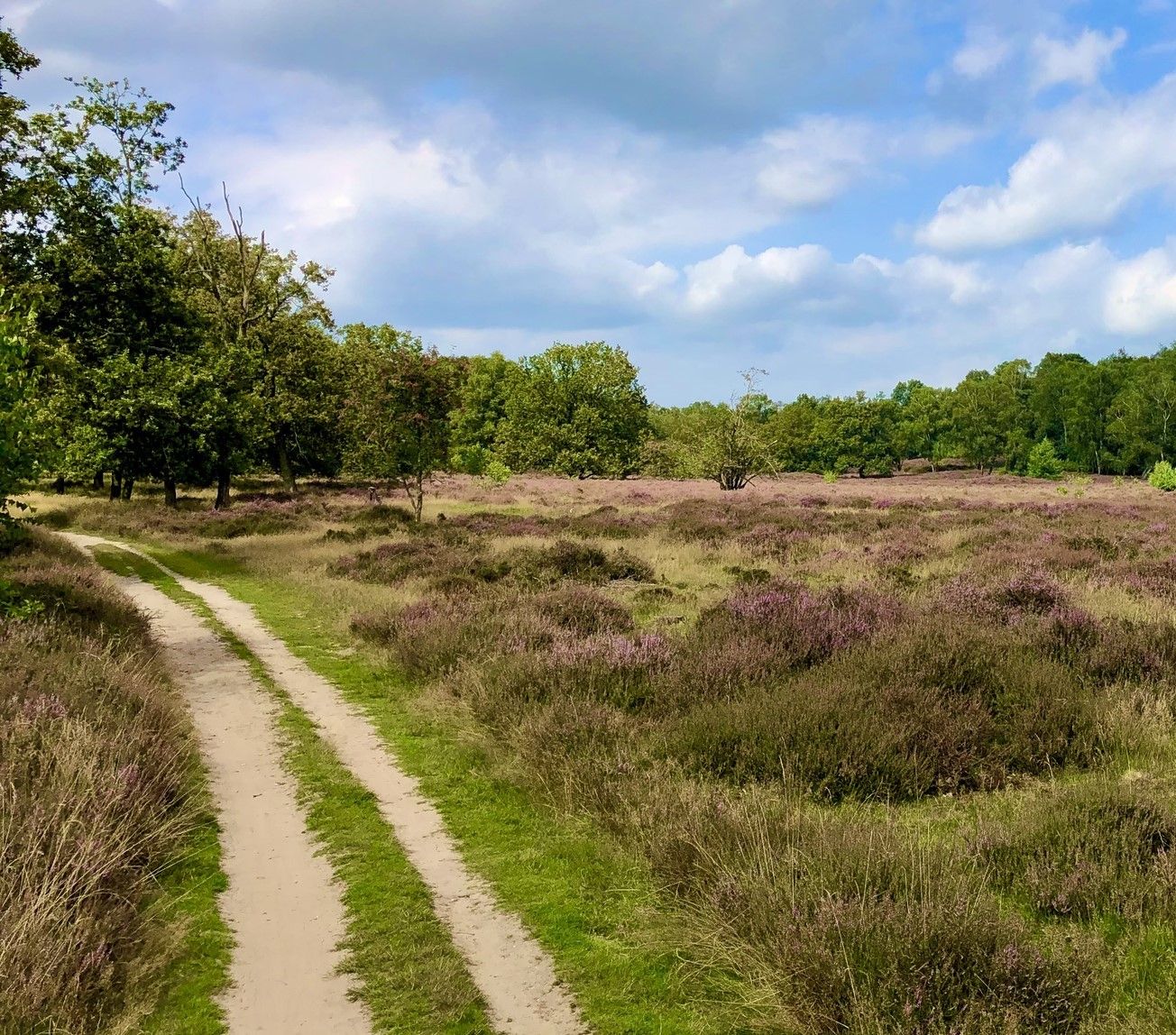
In the middle of nature - 20 accessible routes in and around Overijssel
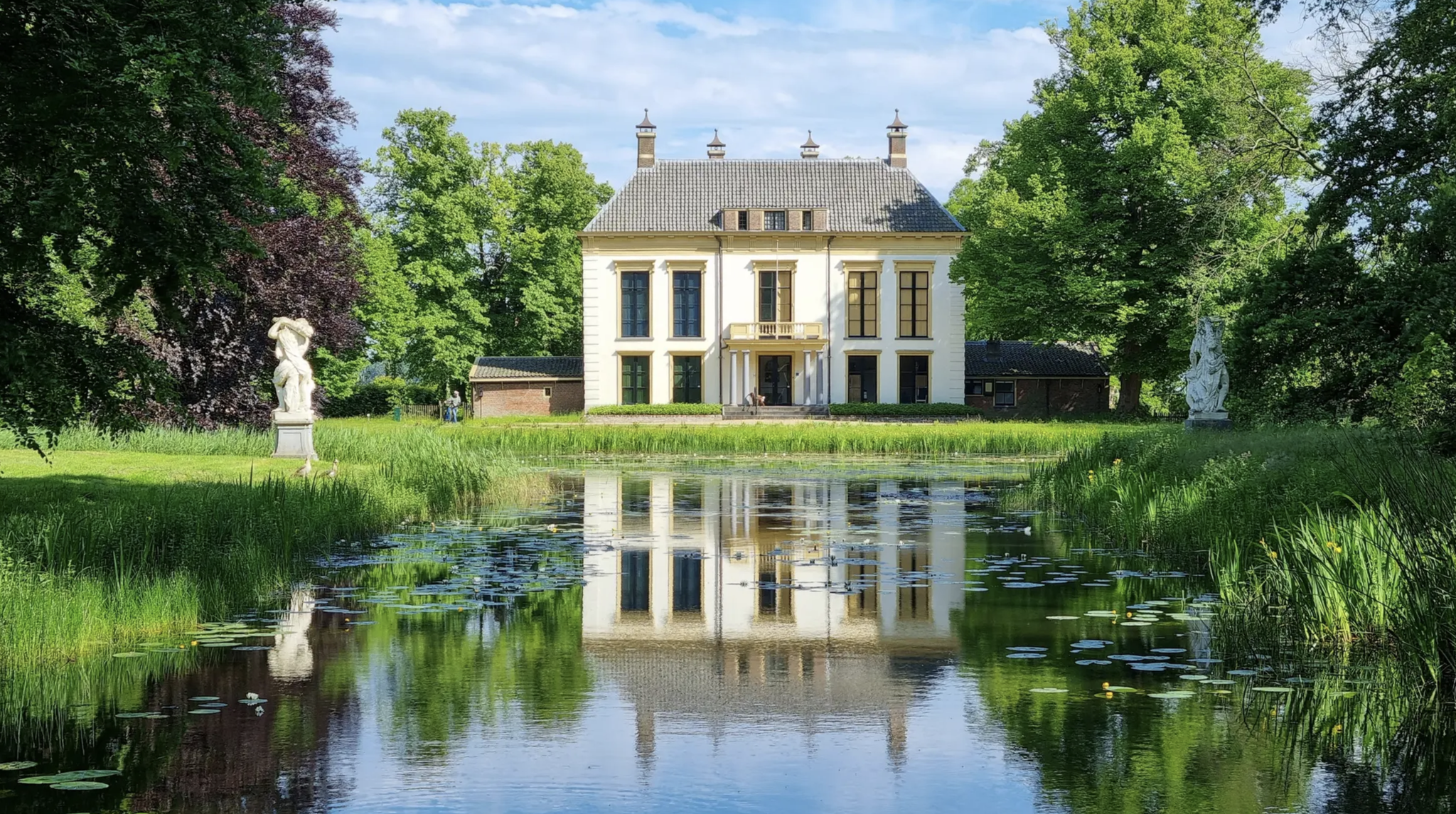
Walking through history - 8 beautiful routes along cultural heritage
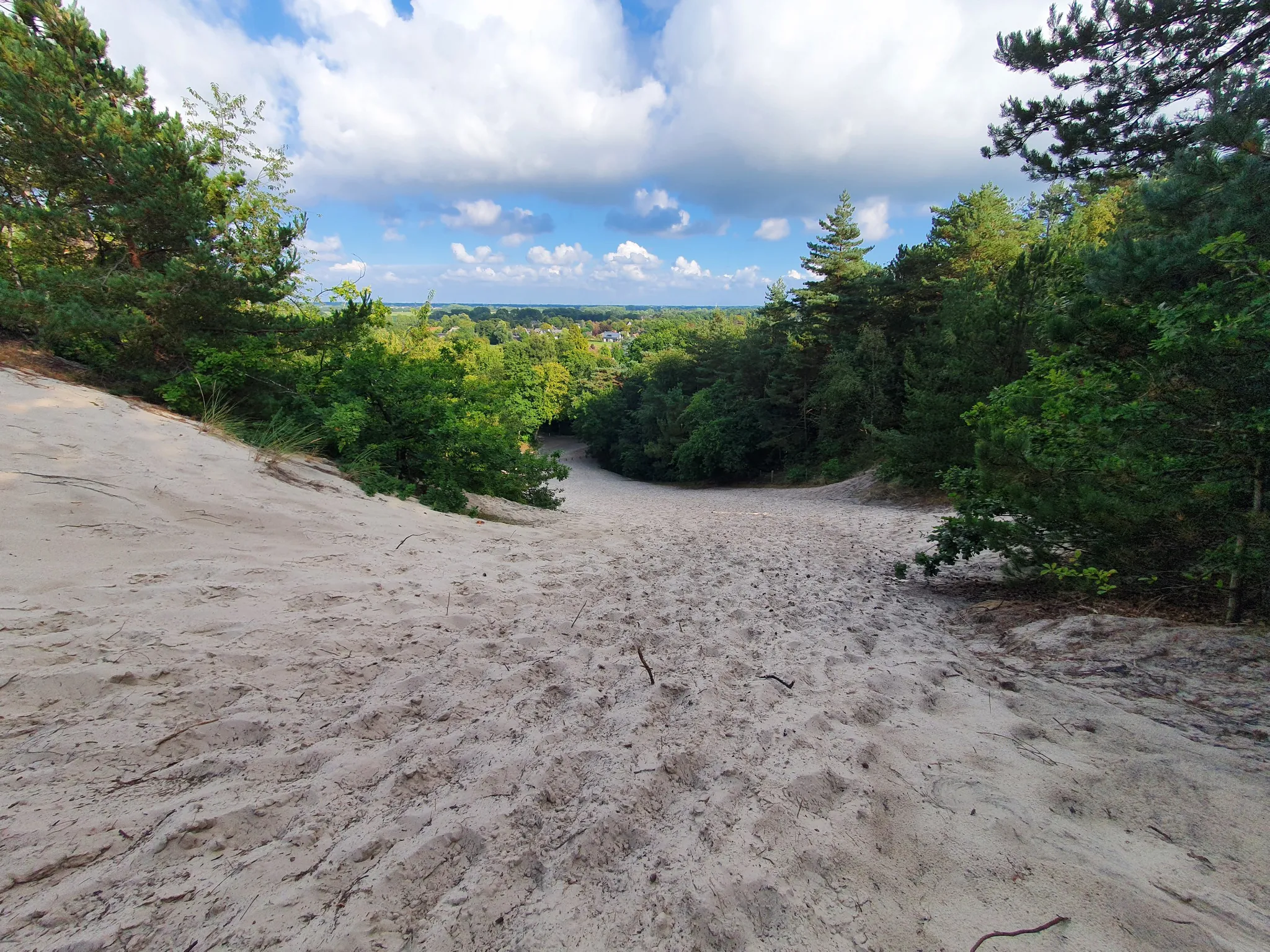
Altitude training for runners – hill runs in the Netherlands
For hill seekers: The best trail runs in the Netherlands
Other adventures in Vecht- En Beneden-Reggegebied


Tips from the Community

Please note: Tower will be closed in November 2025.
2
0


Almost hidden in the woods and deep in a hollow, this large rock offers a beautiful location and a fantastic view of the surrounding area. A great place to take a break.
2
0
Beautiful place with break benches
0
0

Can you take a break with a snack and a drink 👍🏼
0
0

Beautiful surroundings where Eerde Castle suddenly appears before you.
1
0

There's a lookout tower near the bench. Unfortunately, it wasn't open when we visited.
0
0

Unfortunately closed to the public.
1
0
Frequently Asked Questions
How many bus-accessible hiking trails are available in Vecht- En Beneden-Reggegebied?
There are 49 hiking trails in Vecht- En Beneden-Reggegebied that are easily accessible by bus. These routes cater to various fitness levels, with 25 easy, 21 moderate, and 3 difficult options.
Are there any easy, family-friendly hikes reachable by bus?
Yes, the region offers 25 easy routes accessible by bus, many of which are suitable for families. These trails often traverse the varied landscapes of river valleys, forests, and heathlands, providing gentle terrain for all ages. Look for routes around Ommen or Lemele for accessible starting points.
What kind of landscapes can I expect on bus-accessible hikes in Vecht- En Beneden-Reggegebied?
The bus-accessible hikes in Vecht- En Beneden-Reggegebied offer a diverse range of landscapes. You can expect to encounter riverine areas with floodplains, river dunes, and old meanders along the Vecht and Regge rivers, as well as higher sandy grounds featuring extensive coniferous and deciduous forests, heathlands, and sand drifts like the 'Sahara' in the Ommen forest management area.
Are there any circular hiking routes that start and end near a bus stop?
Many of the bus-accessible routes in Vecht- En Beneden-Reggegebied are designed as circular loops, allowing you to start and finish your hike at the same bus stop. For example, the Archemerberg – Siccama Heights Viewpoint loop from Lemele is a moderate 11 km circular trail that offers stunning views.
Can I bring my dog on these bus-accessible hiking trails?
Many trails in Vecht- En Beneden-Reggegebied are dog-friendly, but it's always best to check specific route details for any restrictions, especially in nature reserves or protected areas. Ensure your dog is kept on a leash where required and that you clean up after them. The varied terrain, from forests to open heathlands, provides excellent walking opportunities for you and your canine companion.
What are some notable natural features or viewpoints I can see along bus-accessible routes?
You can discover several notable natural features and viewpoints. The Archemerberg and Lemelerberg are prominent push moraines offering expansive views. You might also encounter unique sand drifts, such as the 'Sahara', and fens like the Besthmenerveentjes. The Besthmenerberg Observation Tower is another highlight providing panoramic vistas.
Are there any longer or more challenging bus-accessible hikes for experienced hikers?
Yes, for experienced hikers seeking a challenge, there are 3 difficult routes accessible by bus. An example is the Archemerberg – Bridge over the Beneden Regge loop from Lemele, which is nearly 20 km long and features significant elevation changes, offering a more strenuous experience through diverse landscapes.
What do other hikers say about the bus-accessible trails in Vecht- En Beneden-Reggegebied?
The bus-accessible trails in Vecht- En Beneden-Reggegebied are highly rated by the komoot community, with an average score of 4.6 stars from over 2800 ratings. Hikers often praise the region's diverse landscapes, well-maintained paths, and the convenience of starting directly from bus stops, making it easy to explore the natural beauty of Overijssel.
Can I find trails that explore the riverine areas of the Vecht and Regge rivers?
Absolutely. Many bus-accessible trails specifically highlight the unique riverine landscapes. You can find routes that take you through the floodplains of the Overijsselse Vecht and Beneden-Regge rivers, where you'll see relief-rich river dunes, elevated riverbanks, and old meanders. The Beerze–Junne Riverbank Trail – The Kamduin Ridge loop from Beerze is a great option for experiencing these riverine features.
Are there any trails that pass through unique sand drifts or heathlands?
Yes, the region is known for its distinctive sand drifts and heathlands. Trails often traverse these areas, particularly on the higher sandy grounds. For instance, the Beerzerveld Sand Dunes – The Kamduin Ridge loop from Beerze offers a chance to explore these unique geological formations and the associated flora.
What is the best time of year to hike these bus-accessible trails?
The Vecht- En Beneden-Reggegebied is beautiful year-round. Spring brings blooming wildflowers, summer offers lush greenery, and autumn transforms the forests with vibrant colors. Even in winter, the landscapes can be serene. However, for the most comfortable hiking experience, late spring to early autumn (April to October) is generally recommended, when the weather is milder and daylight hours are longer.
Are there any trails that offer views from the prominent moraines like Lemelerberg?
Yes, several bus-accessible trails lead to or around the prominent moraines. The Archemerberg – View from Lemelerberg loop from Lemele is a moderate 15 km route that specifically takes you to the Lemelerberg, providing excellent panoramic views of the surrounding landscape from its elevated position.
Most popular routes in Vecht- En Beneden-Reggegebied
Most popular attractions in Vecht- En Beneden-Reggegebied

Get inspired with the komoot mobile app


Explore more
Browse the best Hikes in other regions.
