The best hikes from bus stations in Naturpark Hohe Mark - Westmünsterland
4.6
(56000)
219,359
hikers
3,477
hikes
Bus Station hikes Naturpark Hohe Mark - Westmünsterland offer access to a diverse landscape spanning 1,978 square kilometers. The region features extensive forest areas, including the Haard, alongside numerous water bodies like the Halterner Reservoir and the renatured Steverauen. Hikers will find varied terrain, from heathlands such as the Westruper Heide to alternating meadows and pastures. This mosaic of natural and cultivated areas provides a wide range of outdoor experiences.
Best bus station hiking trails in Naturpark Hohe Mark -…
Last updated: May 28, 2026
4.8
(988)
2,935
hikers
9.79km
02:28
20m
20m
Moderate hike. Good fitness required. Easily-accessible paths. Suitable for all skill levels.
4.6
(231)
771
hikers
Moderate hike. Good fitness required. Easily-accessible paths. Suitable for all skill levels.

Sign up for free
4.7
(173)
650
hikers
10.0km
02:40
110m
110m
Moderate hike. Good fitness required. Easily-accessible paths. Suitable for all skill levels.
4.7
(191)
610
hikers
15.9km
04:16
180m
180m
Moderate hike. Good fitness required. Easily-accessible paths. Suitable for all skill levels.
4.8
(203)
656
hikers
10.7km
02:47
70m
70m
Moderate hike. Good fitness required. Easily-accessible paths. Suitable for all skill levels.
Get access to more routes and recommendations from other explorers.
Sign up for free
Already have an account?
Our route recommendations are based on thousands of hikes, rides, and runs completed by other people on komoot.
Start today with a free account
Your next adventure awaits.
Login or Signup
Popular around Naturpark Hohe Mark - Westmünsterland
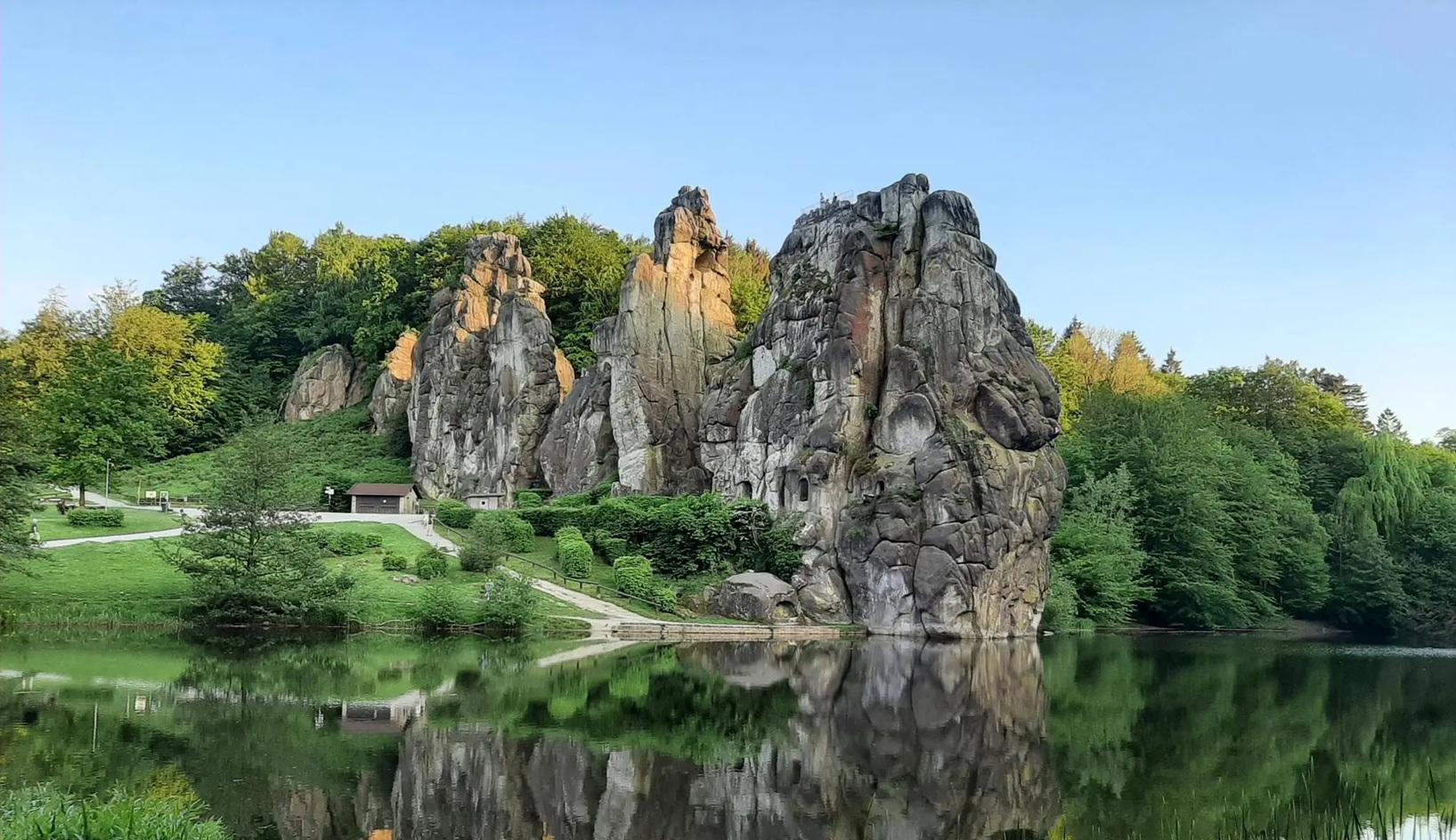
The National Natural Landscapes in Nordrhein-Westfalen
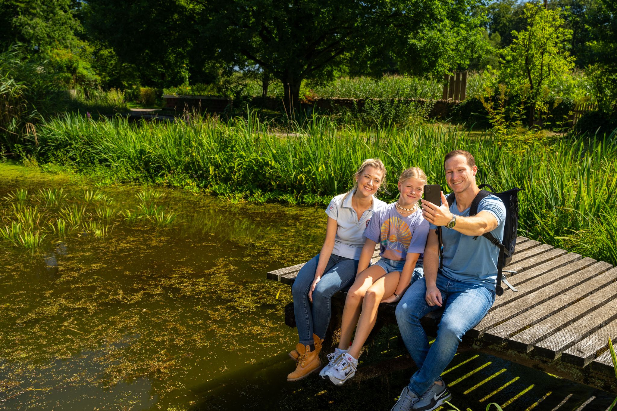
Hiking and discoveries – family walks in the Hohe Mark Nature Park

#GoFurther – discover the views of Germany!
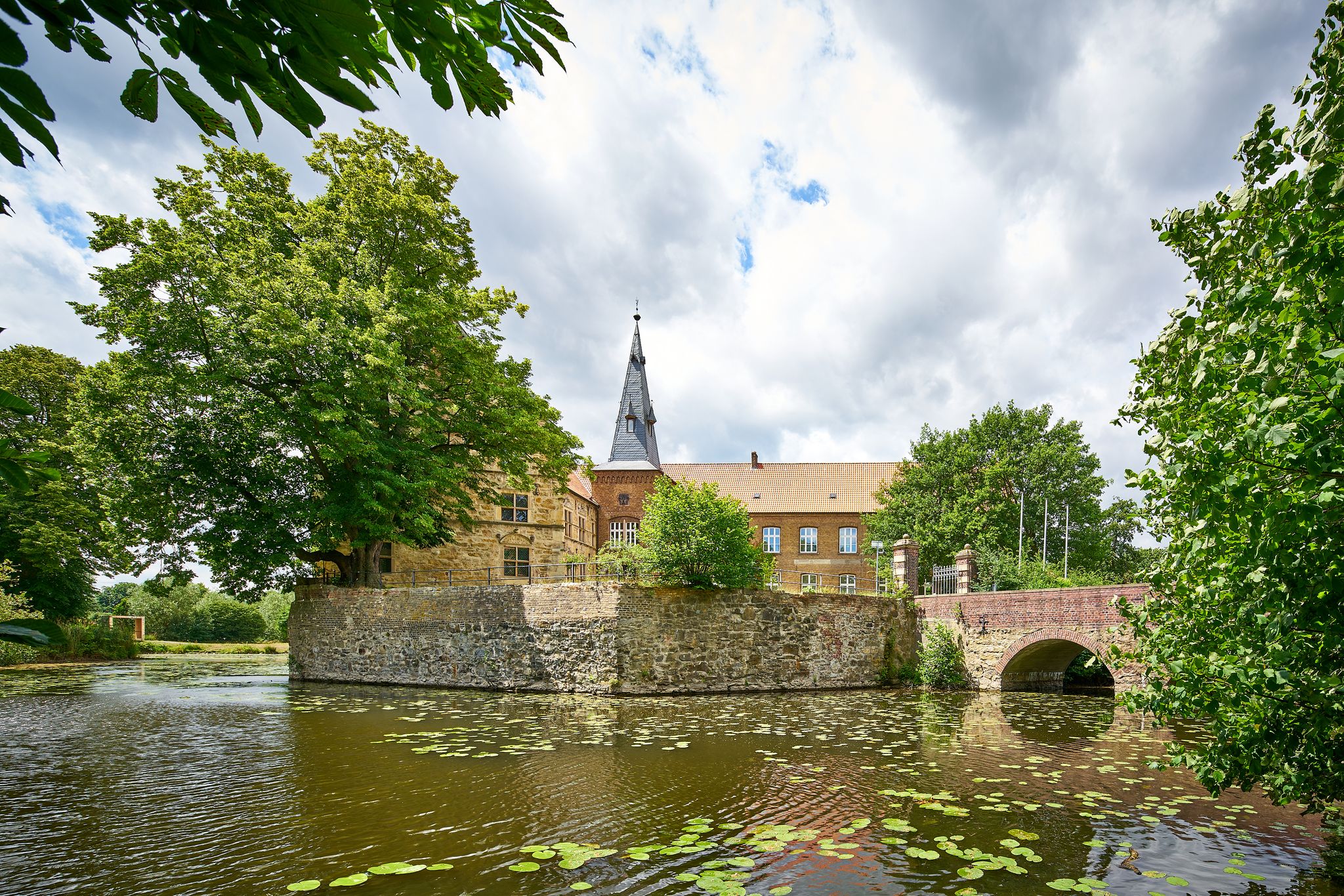
Hiking from castle to castle in Münsterland
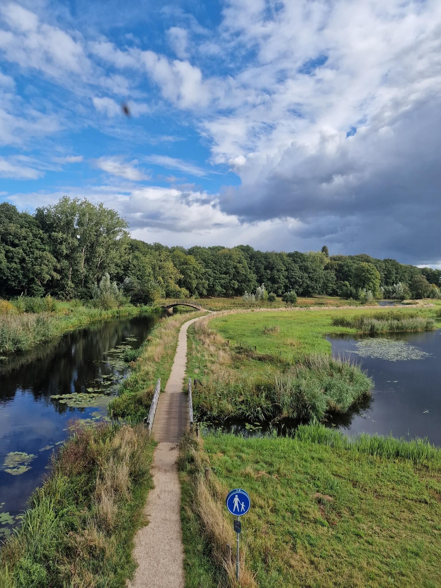
Wandelen along the Grens – Noaberpad (LAW 10)

Quiet paths and stunning views — hiking through Münsterland
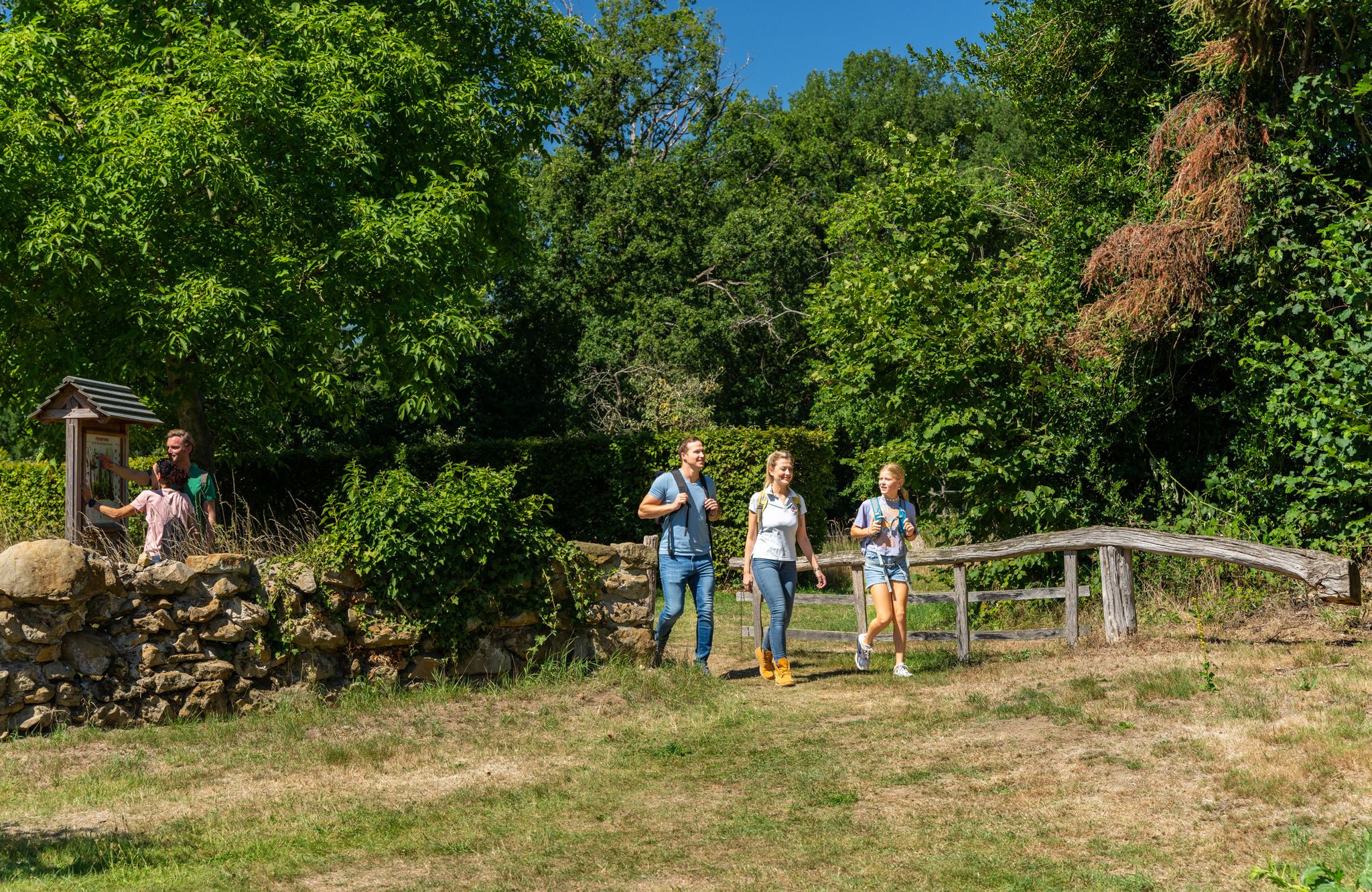
LandStreifer – circular hiking trails to Germany’s Hohe Mark Steig
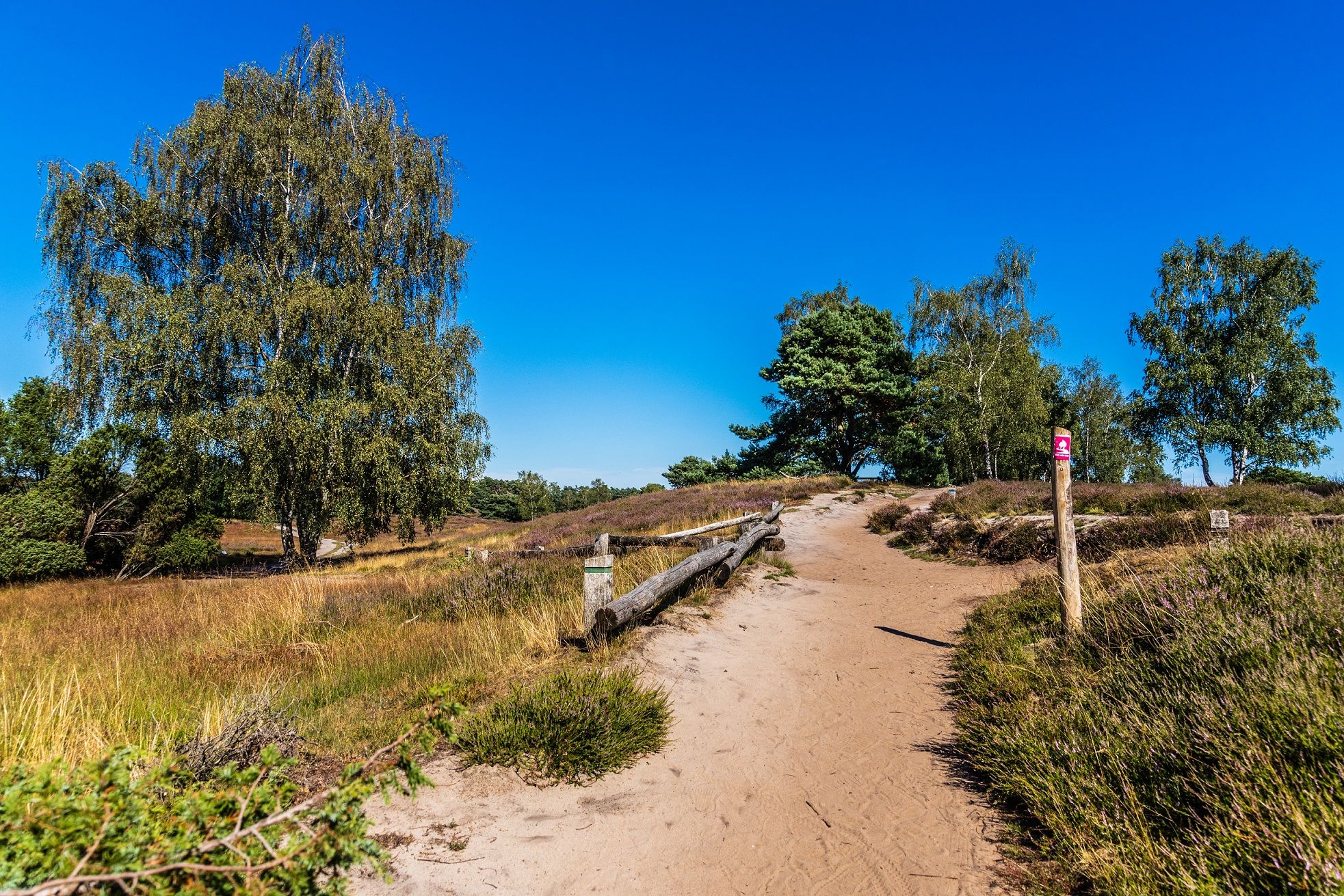
Your bond with nature — Germany’s Hohe Mark Steig
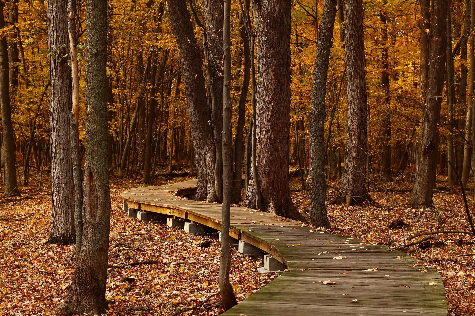
Top Hikes in Autumn - Ruhr Area and around Düsseldorf
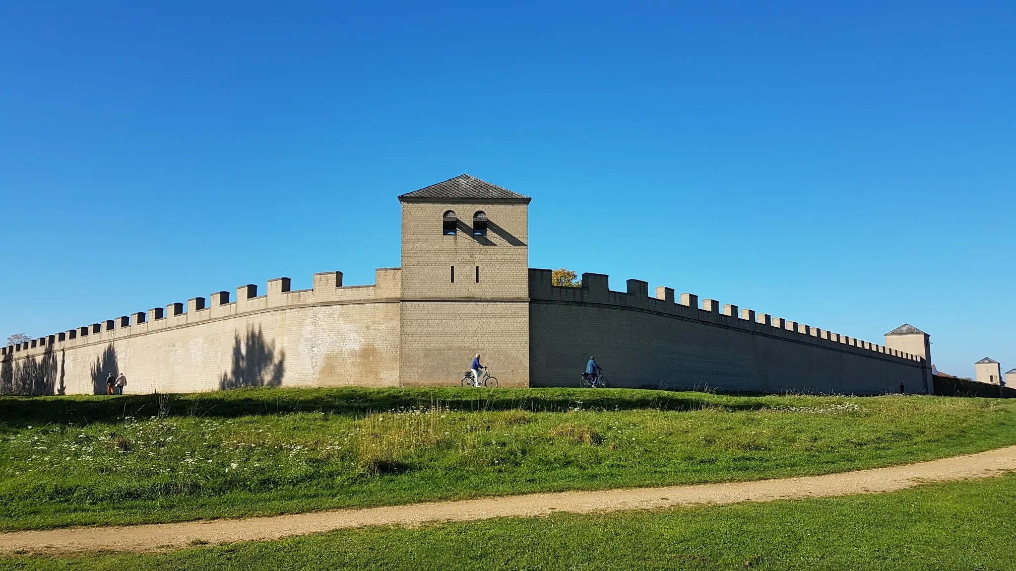
Römer‑Lippe Route – Water and history – 6 days
Other adventures in Naturpark Hohe Mark - Westmünsterland


Tips from the Community

I ran the LandStreifer „Burgenpatt“ and walked past here. This beautiful resting place is one of the many big and small highlights of this beautiful circular hiking trail.
0
0


Observation tower and rest area at the Steverauen in Olfen.
0
0

Water buffalo are used for landscape maintenance in the Steve floodplains. They keep the floodplain landscape open by grazing plants, thus promoting the creation of open spaces. This grazing method is not only effective but also promotes biodiversity in the floodplain, as various plant and animal species benefit from the open spaces. When you gaze over the Steve floodplains with the buffalo, you somehow get a sense of Africa ;-).
0
0


It's amazing how the river meadows around Olfen are left to flood waters and the areas are populated with animals.
0
0

Nice "stations" about different woods and something other than just which tree is here (although that does exist here too).
0
0

book early
0
0
Frequently Asked Questions
How many bus-accessible hiking trails are there in Naturpark Hohe Mark - Westmünsterland?
There are over 3,400 hiking routes in Naturpark Hohe Mark - Westmünsterland that are accessible from bus stations. This extensive network ensures a wide variety of options for all preferences.
What kind of landscapes can I expect on bus-accessible hikes in Naturpark Hohe Mark - Westmünsterland?
The region offers a diverse landscape, including extensive forests like the Haard and Diersfordter Wald, picturesque lake panoramas such as the Halterner Reservoir, and unique heathlands like the Westruper Heide. You'll also encounter renatured river landscapes like the Steverauen, and a mosaic of meadows and pastures.
Are there circular hiking routes accessible by bus?
Yes, many of the bus-accessible routes are circular. The region is known for its 'LandStreifer' tours, which are designed as accessible circular routes showcasing the park's scenic and cultural aspects. An example is the LandStreifer Lüdinghausen "Burgenpatt", which offers a moderate circular hike.
Are the bus station trails in Naturpark Hohe Mark - Westmünsterland suitable for beginners?
Absolutely. Over 2,200 of the bus-accessible routes are rated as easy, making them perfect for beginners or those looking for a relaxed walk. These trails often feature minimal elevation gain and well-maintained paths.
What interesting sights or landmarks can I find along bus-accessible hiking trails?
Many trails pass by notable attractions. You might encounter impressive historical castles like Vischering Castle or Schloss Lembeck. Natural highlights include the Historic Sand Pit (Sandkuhle) in Coesfelder Heide or the extensive Gateway to the Haard forest. For panoramic views, some routes lead to fire watchtowers like the Farnberg Fire Watchtower.
Can I bring my dog on these bus-accessible hiking trails?
Generally, dogs are welcome on most hiking trails in Naturpark Hohe Mark - Westmünsterland. However, it's always advisable to keep them on a leash, especially in nature protection areas, near wildlife, or on shared paths. Always check local signage for specific rules.
Are there any challenging bus-accessible hikes in the region?
While many routes are easy or moderate, there are also challenging options available. The region offers nearly 100 difficult trails accessible by bus, often featuring more significant elevation changes or longer distances. An example of a moderate, longer route is the LandStreifer Haltern "Deep mountains, high valleys".
What is the best time of year to hike these bus-accessible trails?
Naturpark Hohe Mark - Westmünsterland is beautiful year-round. Spring brings blooming heathlands and fresh greenery, while autumn offers vibrant foliage in the forests. Summer is ideal for enjoying the lakes and open landscapes, and even winter hikes can be magical, especially in the serene forest areas.
Are the bus station hiking trails in Naturpark Hohe Mark - Westmünsterland suitable for families with children?
Yes, the park offers many family-friendly options. With a large number of easy trails and attractions like the Information Point: Dachsberg Forest Playground, there are plenty of routes suitable for children. Look for shorter, less strenuous paths that often include points of interest to keep younger hikers engaged.
What do other hikers enjoy the most about hiking in Naturpark Hohe Mark - Westmünsterland?
The area is highly rated by the komoot community, with an average score of 4.58 stars from over 52,000 ratings. Reviewers often praise the diverse and well-maintained trail network, the peaceful natural settings, and the variety of landscapes, from dense forests to tranquil lakes and open heathlands.
Where can I find places to eat or drink near the bus-accessible trails?
While specific establishments vary by route, many towns and villages within Naturpark Hohe Mark - Westmünsterland offer cafes, restaurants, and traditional German pubs. It's a good idea to check the starting or ending points of your chosen route for nearby amenities. For example, routes around Haltern am See often have options near the reservoir.
Most popular routes in Naturpark Hohe Mark - Westmünsterland
Most popular attractions in Naturpark Hohe Mark - Westmünsterland

Get inspired with the komoot mobile app


Explore more
Browse the best Hikes in other regions.
